Wood County is a county located in the U.S. state of Texas. As of the 2020 census, its population was 44,843. Its county seat is Quitman. The county was named for George T. Wood, governor of Texas from 1847 to 1849.
| Name: | Wood County |
|---|---|
| FIPS code: | 48-499 |
| State: | Texas |
| Founded: | 1850 |
| Named for: | George Tyler Wood |
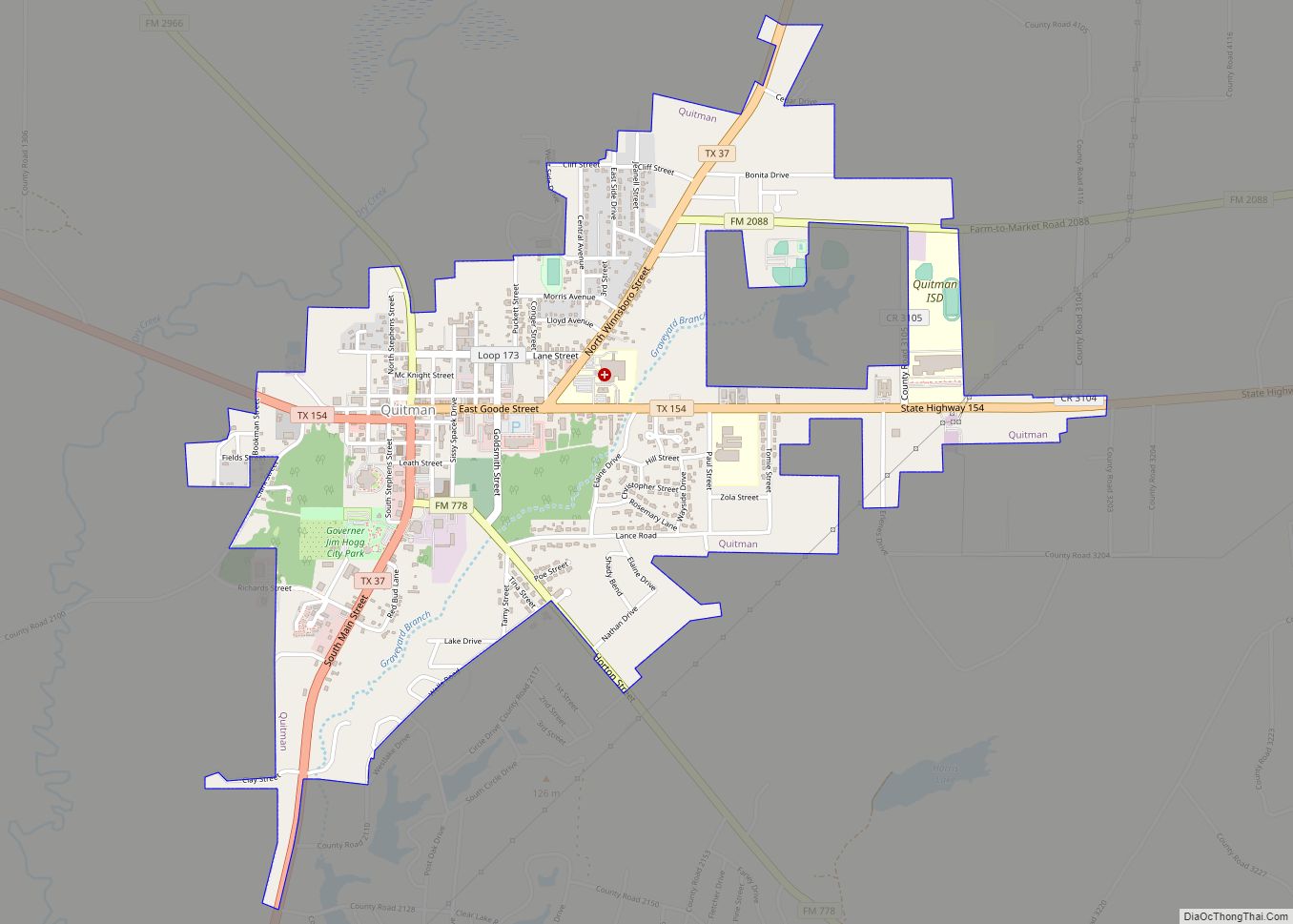
| Seat: | Quitman |
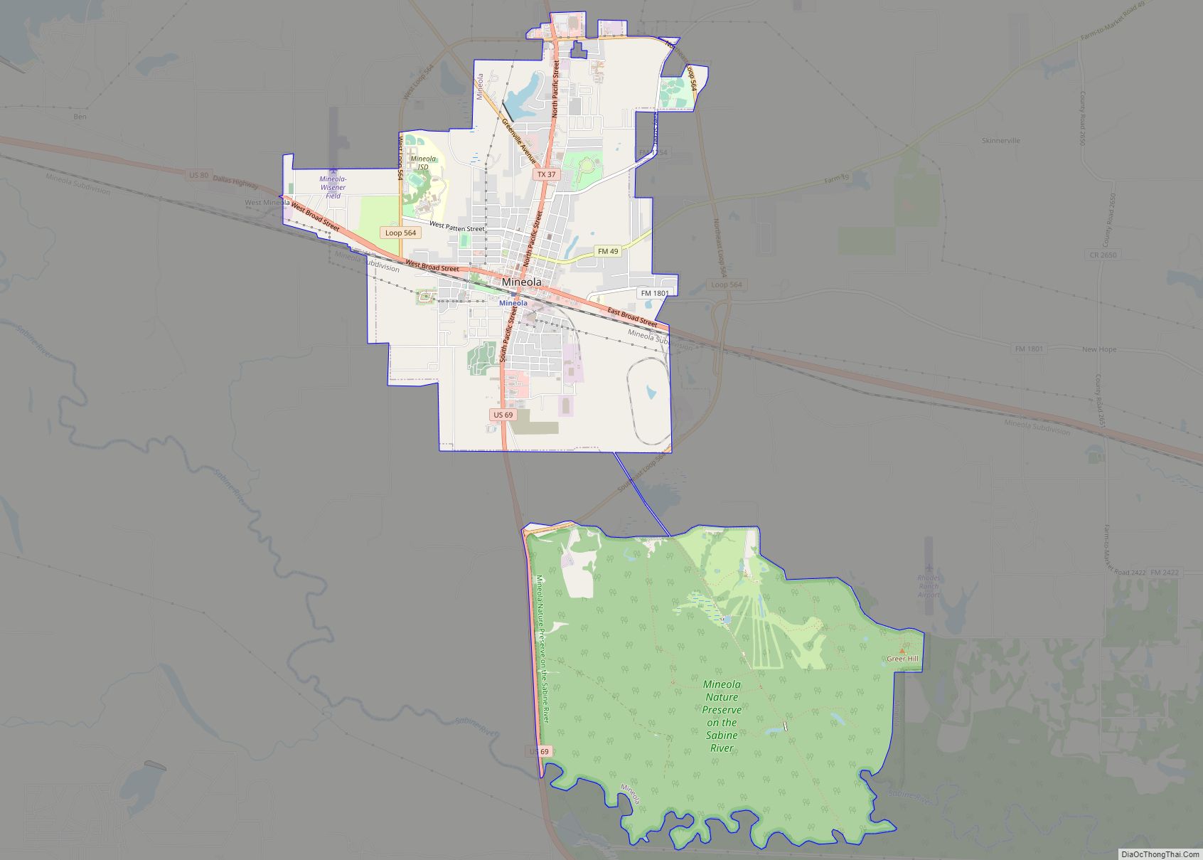
| Largest city: | Mineola |
| Total Area: | 695.719 sq mi (1,801.90 km²) |
| Land Area: | 645.234 sq mi (1,671.15 km²) |
| Total Population: | 44,843 |
| Population Density: | 64/sq mi (25/km²) |
| Time zone: | UTC−6 (Central) |
| Summer Time Zone (DST): | UTC−5 (CDT) |
| Website: | www.mywoodcounty.com |
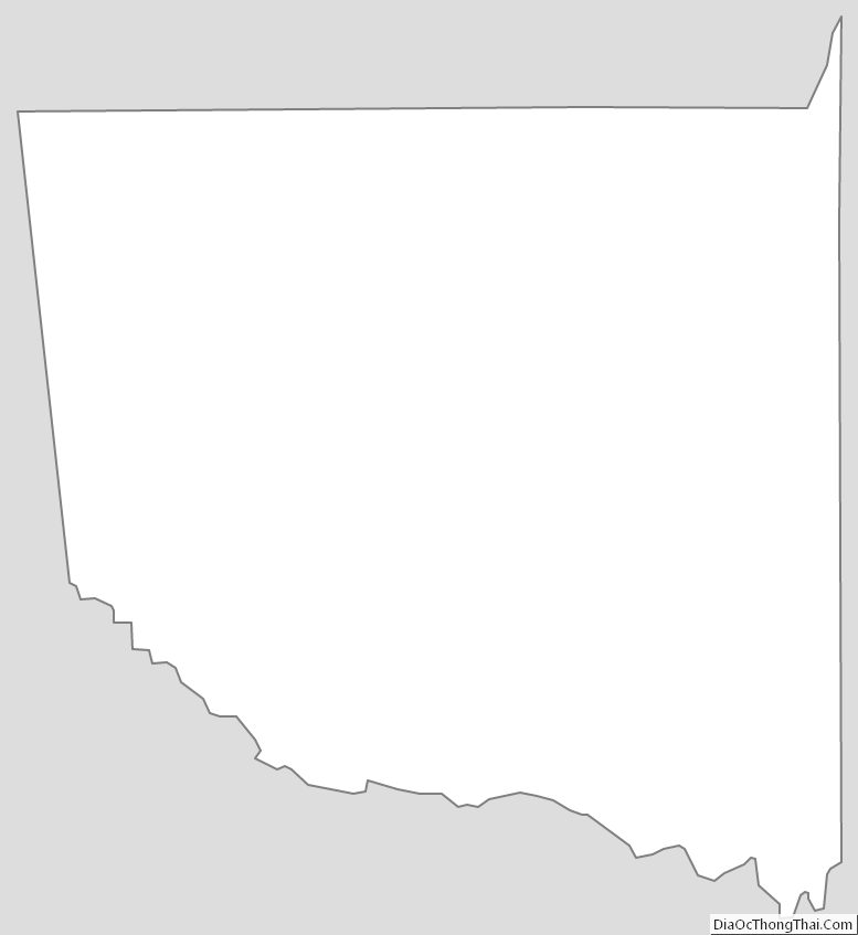
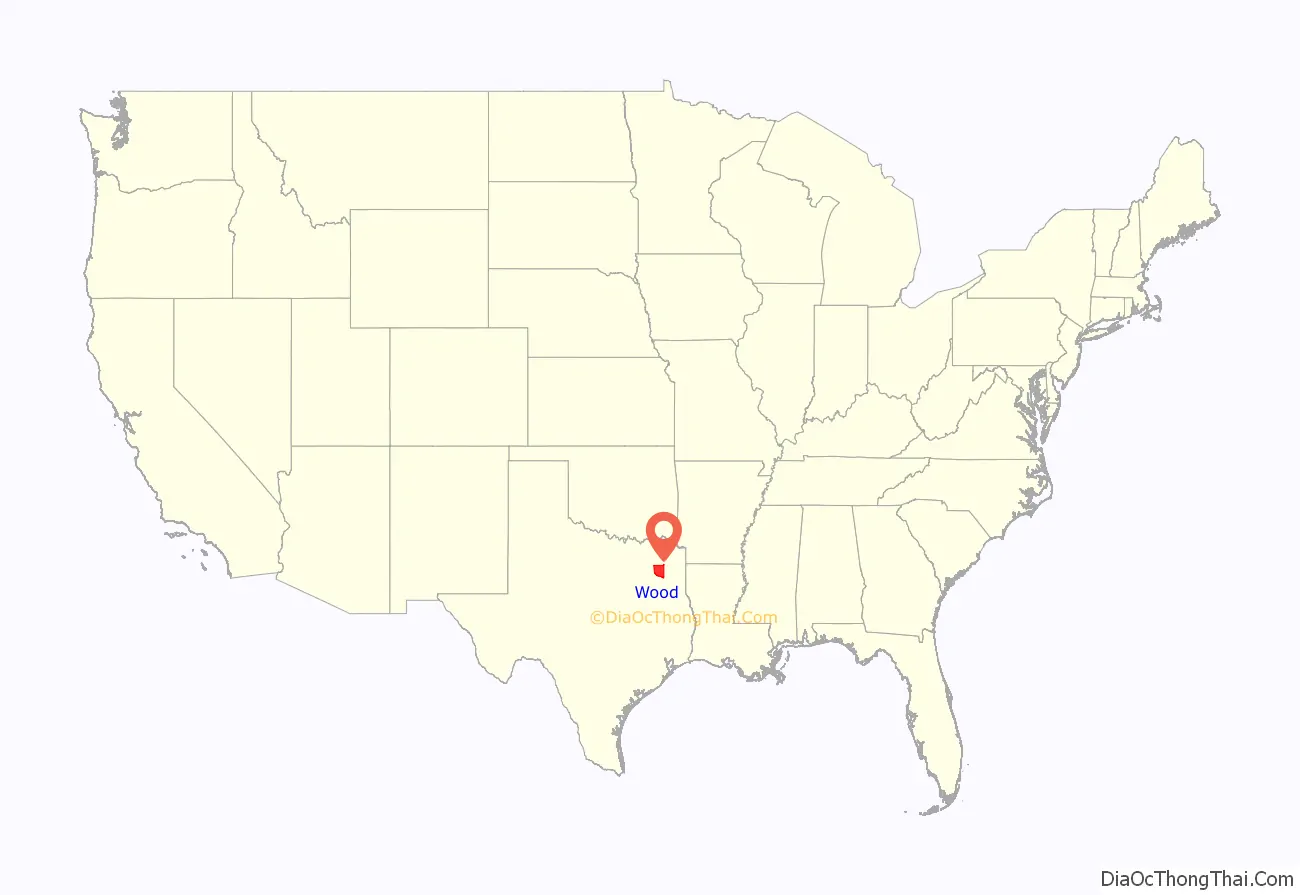
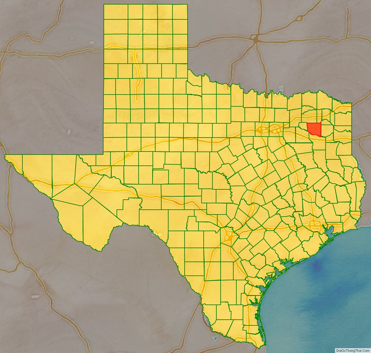
Wood County location map. Where is Wood County?
History
The first documented European exploration of what is now Wood County took place in the late 18th century, when Pedro Vial, was sent on expeditions by the Spanish governor of Texas. After marching all the way to Santa Fe in 1787, he headed east to Natchitoches. The following year, he passed through today’s Wood County on his way back to San Antonio. Some archeological evidence suggests that a French trading post stood along Mill Race Creek in the early 1700s near the site of the modern town of Hainsville. The French may have build a military post called Fort Ledout near Black Oak in Wood County, but other than the archeological evidence, little is known about any possible French settlements.
An important archeological discovery made by a hunting party in 1887, southeast of Hainsville and north of Bromley, suggests that Native Americans may have engaged in a battle either between different tribes or with the Spanish. Despite finding many relics, including a cross, tomahawk pieces, a Spanish coin, and several broken muskets, no written record of any such encounter has been found. Some Spanish and Mexican land grants were issued in the area, but settlement was sparse until after the Texas Revolution. The first White settler was Martin Varner. He built his home near the southeast side of what is now Hainsville at least by 1824. The first organized settlement was at Webster in 1845.
In 1850, after Texas was annexed to the United States, the Legislature authorized the forming of the county from Van Zandt County. In 1849, residents of what was then Van Zandt County north of the Sabine River, petitioned the legislature for the county to be reorganized. Reasons included that the majority of the population lived north of the river, and that travel to Jordan’s Saline, then the county seat, was difficult in winter. Wood County was created and Van Zandt was reorganized with territory from adjacent counties.
Early industry
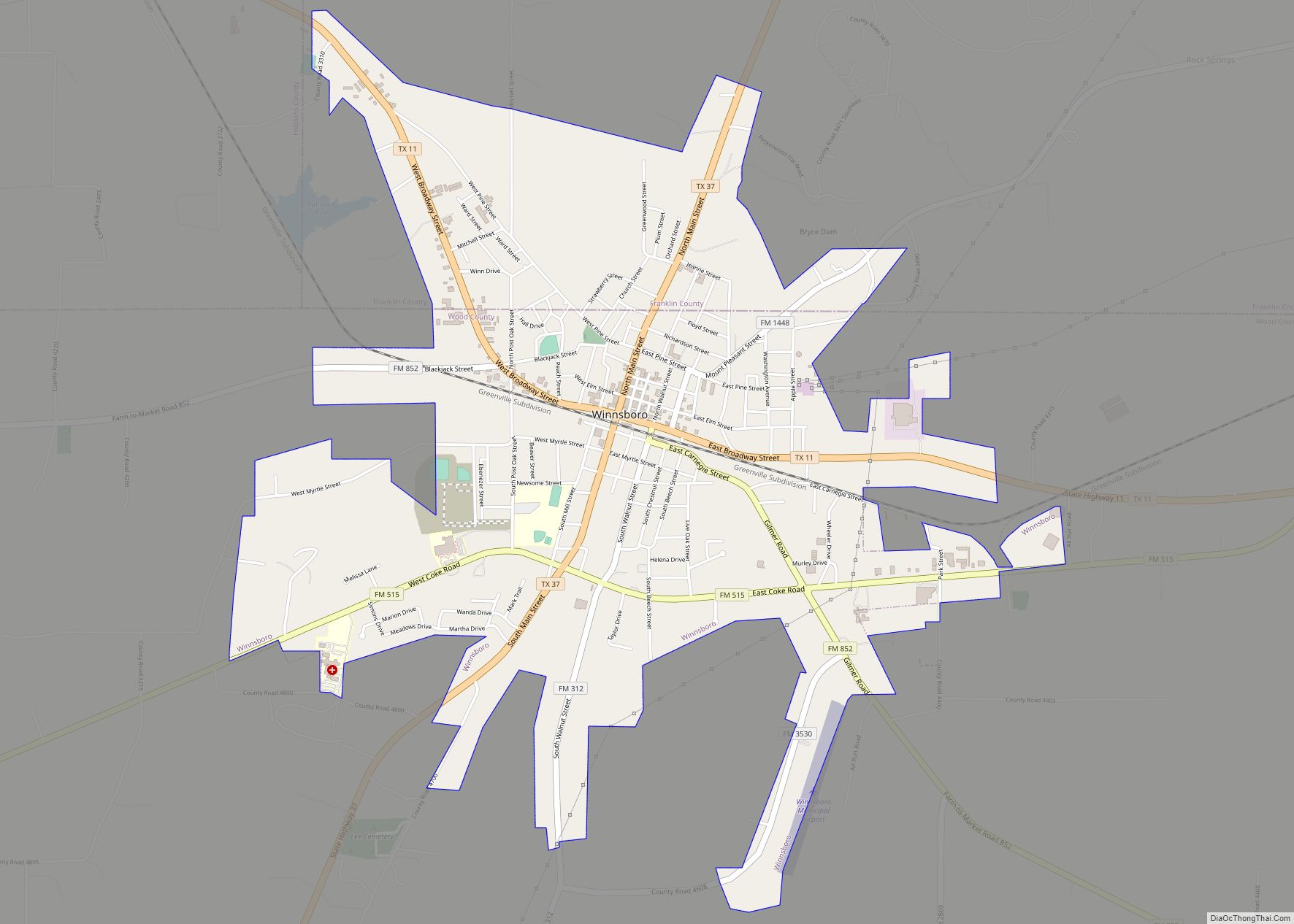
Early industry included a number of sawmills, gristmills, steam mills, and cotton gins. A jug factory operated north of the Big Sandy Creek in the 1850s. A second jug factory was built some years later near Holly Creek. Two brick kilns are known to have been located in the area of Winnsboro. Wigley Furniture Company began operating in Mineola in 1874. A cane and rawhide-bottom chair factory opened in 1886. Tie-cutting became a major industry in the county in the 1870s with the coming of the railroads. Pine Mills, Perryville, Ogburn, Merrimac, Peach, and Fouke got their start as sawmill towns.
Civil War era
Wood County had only 17 slaves by 1850, but that number ballooned 10 years later to 923, estimated at about 20% of the population. Wood County voted for secession by a 70% majority. The two delegates to the Secession Convention, though, both opposed secession.
The first soldiers raised for the Confederacy in Wood County were Company A, 10th Texas Cavalry Regiment. A training ground called Camp Flournoy was established east of Quitman. Another company called the Wood County Rebels was formed on August 5, 1861. They then requested active duty as cavalry.
Coming of the railroads
The Texas and Pacific Railroad came through the southern portion of the county in 1873 and formed a junction with the International and Great Northern Railroad at Sodom, which was later renamed Mineola, on a Longview-to-Dallas route. The railroads came to the northern portion of the county in 1876, when the East Line and Red River Railroad laid track from Jefferson to Greenville. This segment later was absorbed by the Louisiana, Arkansas, and Texas Railroad. The Texas Shortline Railroad also ran between Alba and Grand Saline in Van Zandt County.
Discovery of coal
Coal was discovered in the Alba area in sometime before 1900. The operating mines were for lignite coal.
Discovery of oil
Oil was discovered in Wood County in 1941, and the county produced 25 million barrels (4.0 million cubic metres) of oil per year by 1948. Developed oilfields in Wood County include the Pine Mills Oilfield and the Alba Oilfield.
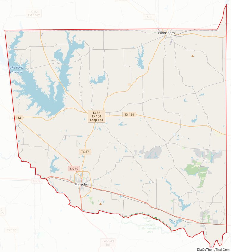
Wood County Road Map
Geography
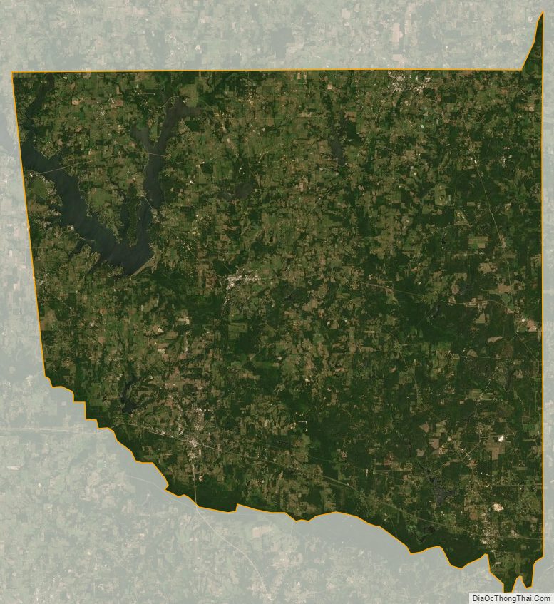
According to the U.S. Census Bureau, the county has a total area of 695.719 sq mi (1,801.903 km), of which 645.234 sq mi (1,671.149 km) are land and 50.484 sq mi (130.754 km) (7.3%) are covered by water.
Adjacent counties
- Hopkins County (north)
- Franklin County (northeast)
- Camp County (northeast)
- Upshur County (east)
- Smith County (south)
- Van Zandt County (southwest)
- Rains County (west)
National protected areas
- Little Sandy National Wildlife Refuge
Wood County Topographic Map

Wood County Satellite Map
Wood County Outline Map