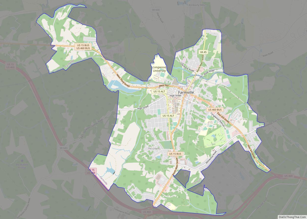
Pamplin City is a town in Appomattox and Prince Edward counties in the U.S. state of Virginia. The population was 219 at the 2010 census.
The Appomattox County portion of Pamplin City is part of the Lynchburg Metropolitan Statistical Area.
| Name: | Pamplin City town |
|---|---|
| LSAD Code: | 43 |
| LSAD Description: | town (suffix) |
| State: | Virginia |
| County: | Appomattox County, Prince Edward County |
| Total Area: | 0.32 sq mi (0.82 km²) |
| Land Area: | 0.32 sq mi (0.82 km²) |
| Water Area: | 0.00 sq mi (0.00 km²) |
| Total Population: | 219 |
| Population Density: | 721.52/sq mi (278.90/km²) |
| Area code: | 434 |
| FIPS code: | 5160488 |
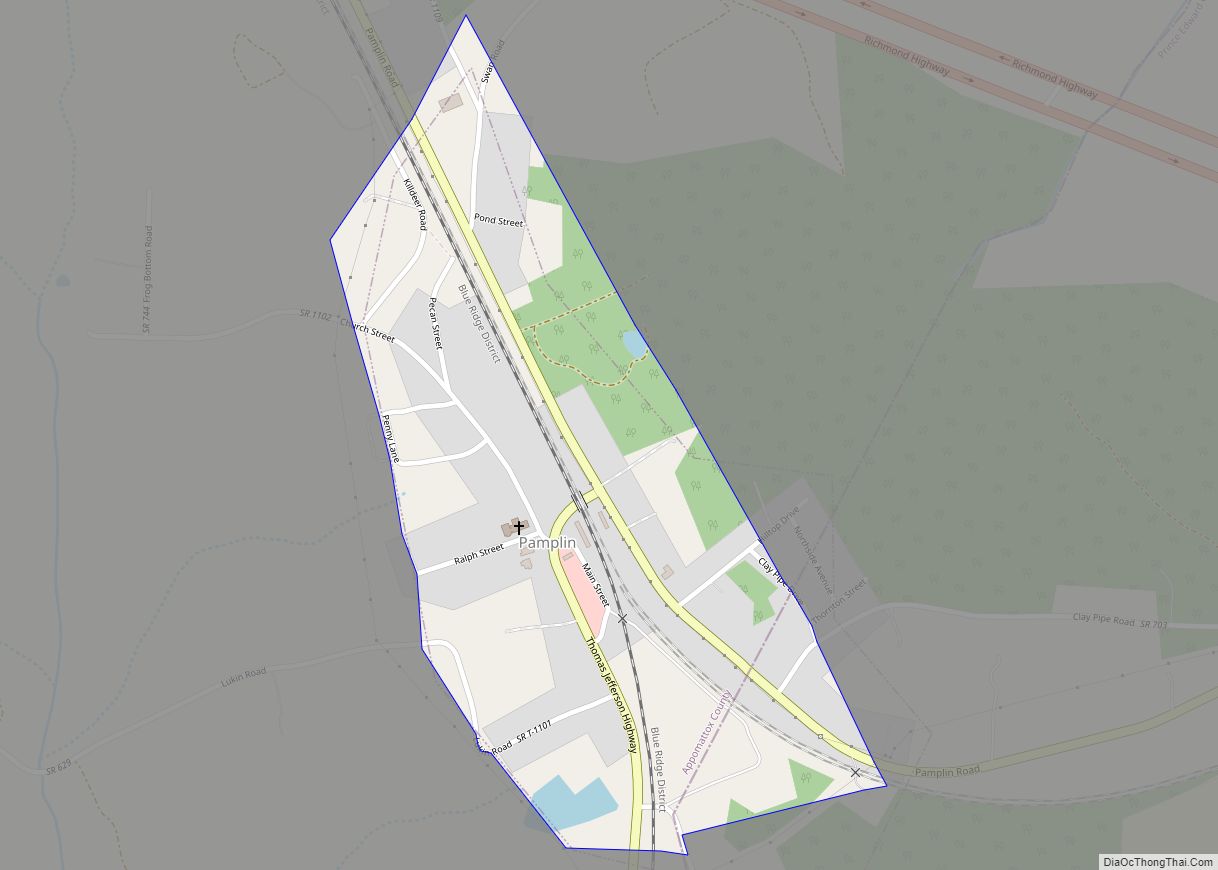
Online Interactive Map
Click on ![]() to view map in "full screen" mode.
to view map in "full screen" mode.
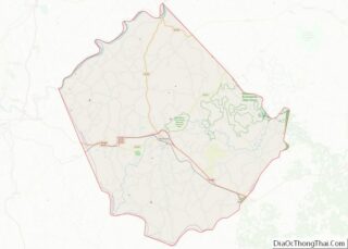
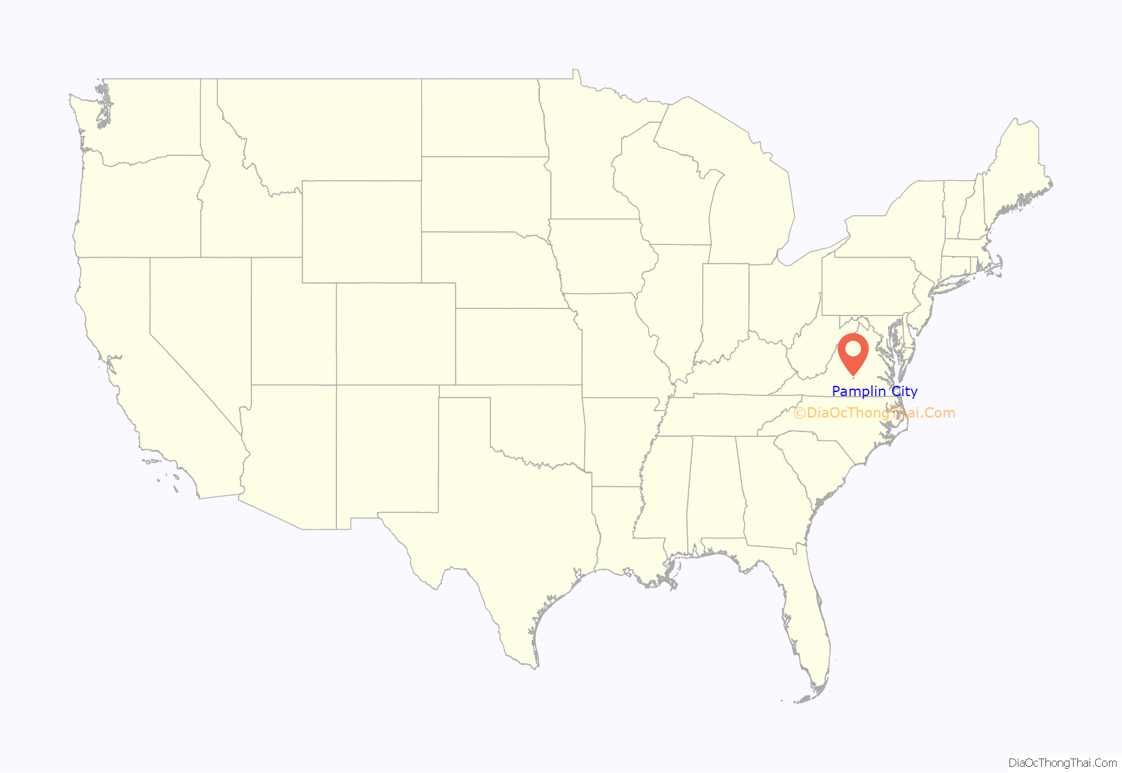
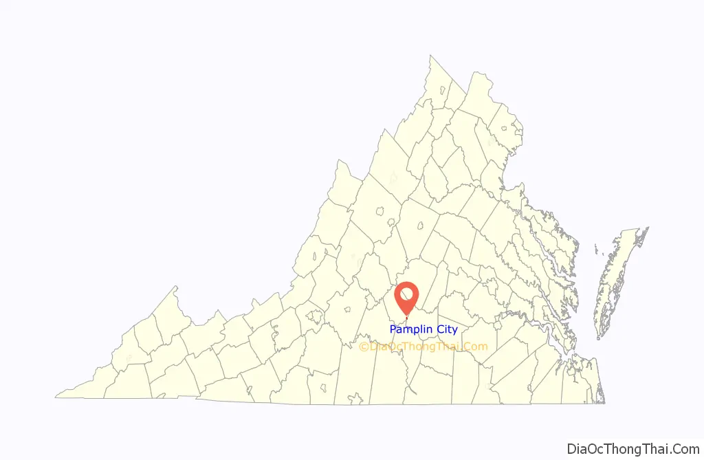
Pamplin City location map. Where is Pamplin City town?
History
Pamplin is the home of a Clay Pipe Factory, formerly the largest clay pipe factory in the United States. It is located to the side of Business 460. It was listed on the National Register of Historic Places (NRHP) in 1980. The Buffalo Presbyterian Church was listed on the NRHP in 1995.
This town was a stop on the Southside Railroad in the mid-nineteenth Century. This became the Atlantic, Mississippi and Ohio Railroad in 1870 and then a line in the Norfolk and Western Railway and now the Norfolk Southern Railway. The rail line from Burkville to Pamplin City was converted by Virginia Department of Parks and Recreation into High Bridge Trail State Park.
The town has recently undergone a revitalization process. The Appomattox County library established an annex at the former Pamplin City Train Depot used by the Norfolk Southern Railroad. This renovated train depot now serves as a library and meeting place for the town; it is a center for holidays and other gatherings on special occasions.
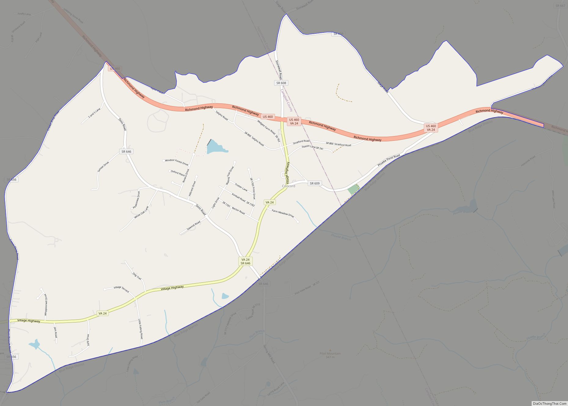
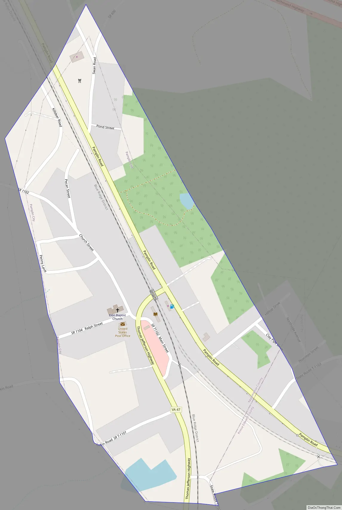
Pamplin City Road Map
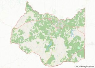
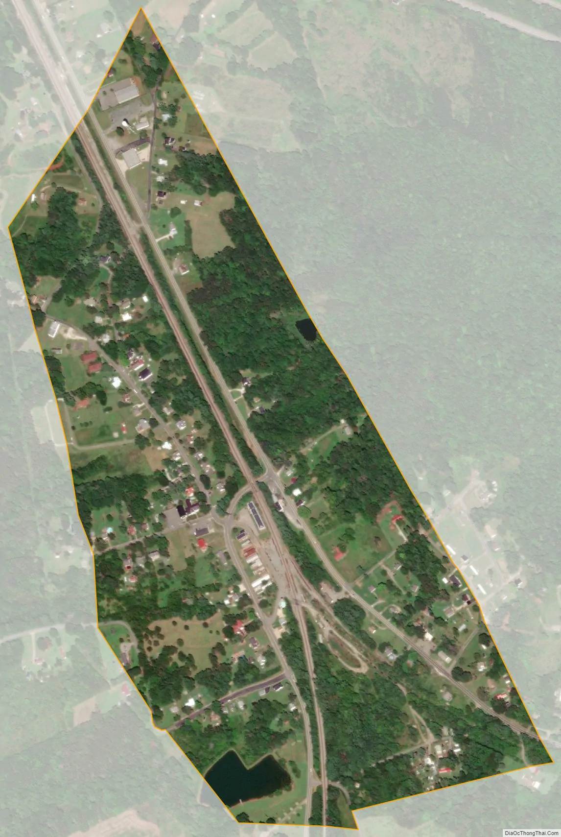
Pamplin City city Satellite Map
Geography
Pamplin City is located at 37°15′49″N 78°40′52″W / 37.26361°N 78.68111°W / 37.26361; -78.68111 (37.263523, -78.680985).
According to the United States Census Bureau, the town has a total area of 0.3 square miles (0.8 km), all land.
See also
Map of Virginia State and its subdivision:- Accomack
- Albemarle
- Alexandria
- Alleghany
- Amelia
- Amherst
- Appomattox
- Arlington
- Augusta
- Bath
- Bedford
- Bedford City
- Bland
- Botetourt
- Bristol
- Brunswick
- Buchanan
- Buckingham
- Buena Vista
- Campbell
- Caroline
- Carroll
- Charles City
- Charlotte
- Charlottesville
- Chesapeake
- Chesterfield
- Clarke
- Clifton Forge City
- Colonial Heights
- Covington
- Craig
- Culpeper
- Cumberland
- Danville
- Dickenson
- Dinwiddie
- Emporia
- Essex
- Fairfax
- Fairfax City
- Falls Church
- Fauquier
- Floyd
- Fluvanna
- Franklin
- Frederick
- Fredericksburg
- Galax
- Giles
- Gloucester
- Goochland
- Grayson
- Greene
- Greensville
- Halifax
- Hampton
- Hanover
- Harrisonburg
- Henrico
- Henry
- Highland
- Hopewell
- Isle of Wight
- James City
- King and Queen
- King George
- King William
- Lancaster
- Lee
- Lexington
- Loudoun
- Louisa
- Lunenburg
- Lynchburg
- Madison
- Manassas
- Manassas Park
- Martinsville
- Mathews
- Mecklenburg
- Middlesex
- Montgomery
- Nelson
- New Kent
- Newport News
- Norfolk
- Northampton
- Northumberland
- Norton
- Nottoway
- Orange
- Page
- Patrick
- Petersburg
- Pittsylvania
- Poquoson
- Portsmouth
- Powhatan
- Prince Edward
- Prince George
- Prince William
- Pulaski
- Radford
- Rappahannock
- Richmond
- Roanoke
- Roanoke City
- Rockbridge
- Rockingham
- Russell
- Salem
- Scott
- Shenandoah
- Smyth
- Southampton
- Spotsylvania
- Stafford
- Staunton
- Suffolk
- Surry
- Sussex
- Tazewell
- Virginia Beach
- Warren
- Washington
- Waynesboro
- Westmoreland
- Williamsburg
- Winchester
- Wise
- Wythe
- York
- Alabama
- Alaska
- Arizona
- Arkansas
- California
- Colorado
- Connecticut
- Delaware
- District of Columbia
- Florida
- Georgia
- Hawaii
- Idaho
- Illinois
- Indiana
- Iowa
- Kansas
- Kentucky
- Louisiana
- Maine
- Maryland
- Massachusetts
- Michigan
- Minnesota
- Mississippi
- Missouri
- Montana
- Nebraska
- Nevada
- New Hampshire
- New Jersey
- New Mexico
- New York
- North Carolina
- North Dakota
- Ohio
- Oklahoma
- Oregon
- Pennsylvania
- Rhode Island
- South Carolina
- South Dakota
- Tennessee
- Texas
- Utah
- Vermont
- Virginia
- Washington
- West Virginia
- Wisconsin
- Wyoming