The City of Englewood is a home rule municipality located in Arapahoe County, Colorado, United States. The town population was 33,659 at the 2020 United States Census. Englewood is a part of the Denver–Aurora–Lakewood, CO Metropolitan Statistical Area and the Front Range Urban Corridor. Englewood is located immediately south of Denver in the South Platte River Valley.
| Name: | Englewood city |
|---|---|
| LSAD Code: | 25 |
| LSAD Description: | city (suffix) |
| State: | Colorado |
| County: | Arapahoe County |
| Founded: | 1860, as Orchard Place |
| Incorporated: | May 9, 1903 |
| Elevation: | 5,371 ft (1,637 m) |
| Total Area: | 6.652 sq mi (17.229 km²) |
| Land Area: | 6.565 sq mi (17.002 km²) |
| Water Area: | 0.088 sq mi (0.227 km²) |
| Total Population: | 33,659 |
| Population Density: | 5,127/sq mi (1,980/km²) |
| ZIP code: | 80110 & 80113, PO Boxes 80150 & 80151 & 80155 |
| Area code: | Both 303 and 720 |
| FIPS code: | 0824785 |
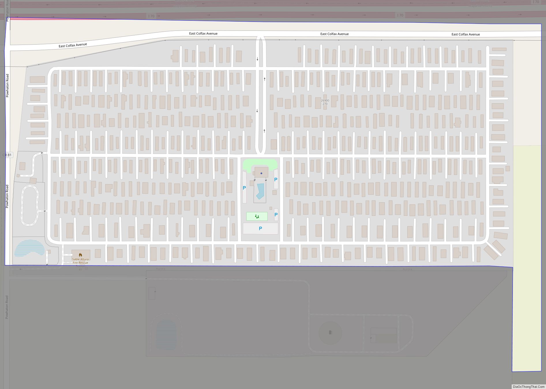
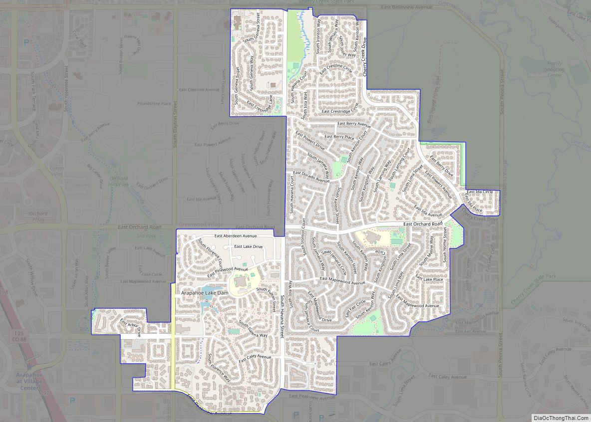
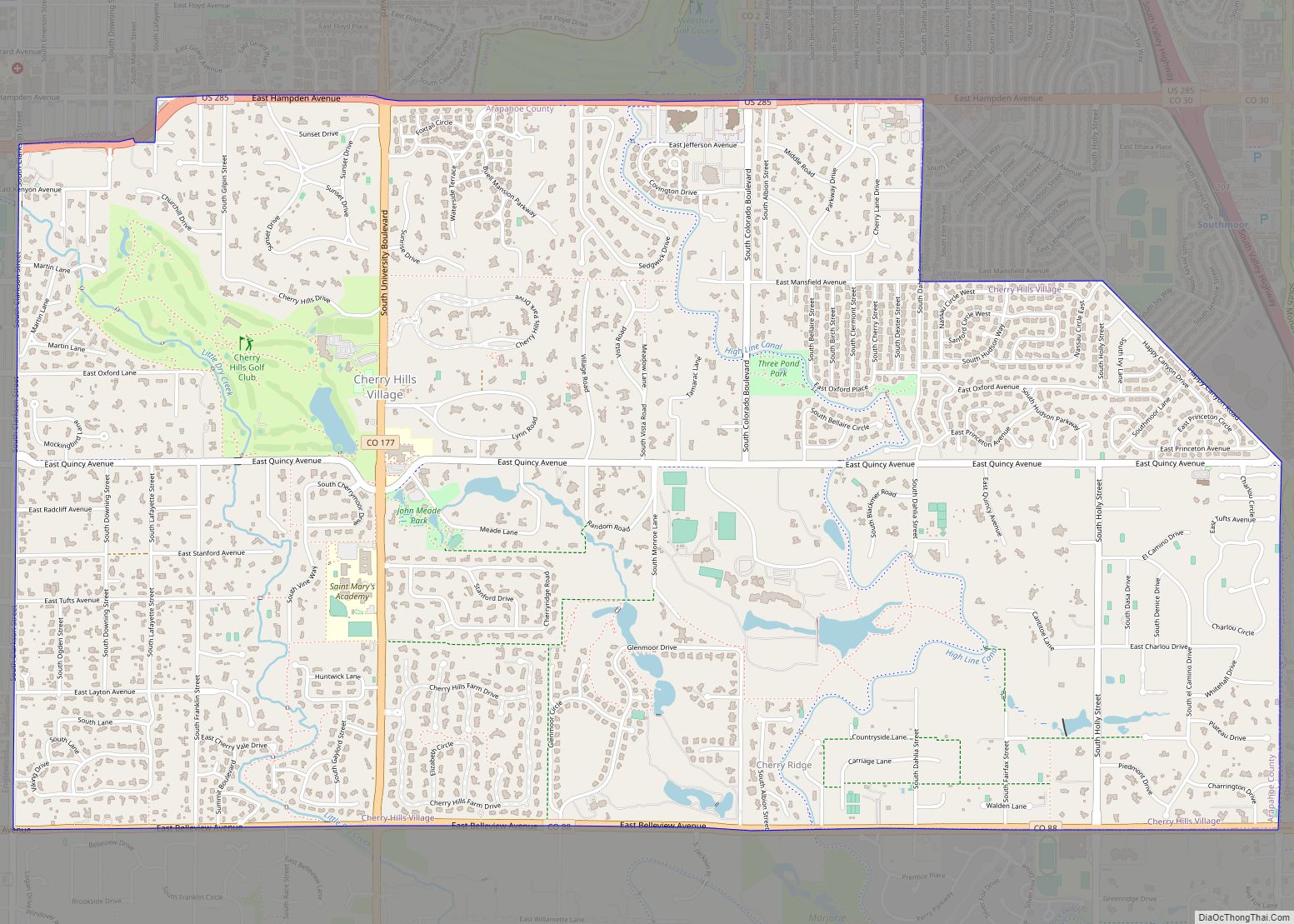
Online Interactive Map
Click on ![]() to view map in "full screen" mode.
to view map in "full screen" mode.
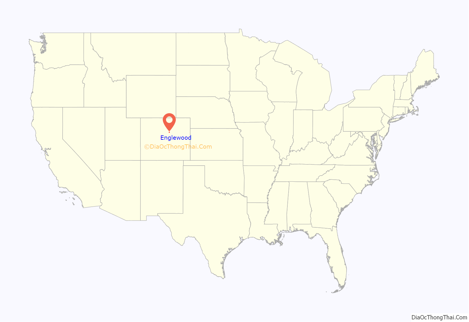
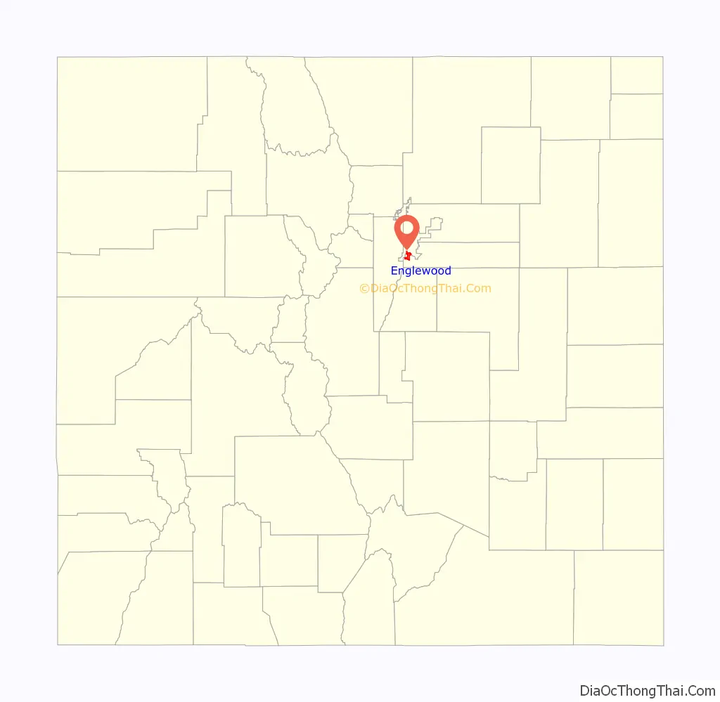
Englewood location map. Where is Englewood city?
History
The recorded history of Englewood began in 1858, when gold was discovered on what came to be called Little Dry Creek by William Green Russell, an early settler of the High Plains. Two years later, Thomas Skerritt, considered to be the founder of the city, established a home in the area, which was called Orchard Place. Four years later, the first road connecting Denver and Orchard Place was created by Skerritt himself, using his own plough. In 1879, the first telephone arrived in the area.
In 1883, the Cherrelyn horsecar path was laid. The Cherrelyn trolley was and is an important city icon, being carried up Broadway by horse and down by gravity. The city was incorporated in 1903, but Skerritt was edged out by J.C. Jones as the first city mayor. Jones was a prominent landowner, having originally owned almost all of what is now north Englewood. The next two years brought the establishment of the first newspaper in the city, soon to be named the Herald. In 1905, Swedish National Sanitorium was founded, soon to become the massive present-day Swedish Medical Center. The first pavement and street lights were installed in 1906, and a year later, the police and fire departments were established. In 1908, the Cherrelyn horse trolley stopped running.
A great period of change for the city occurred in 1948; 2,500 acres (1,000 ha) on the Platte Canyon were purchased, and soon McLellan Reservoir was created. This ensured water independence from the powerful Denver Water, and in fact, Englewood provides water to most of the south metro area now due to its vast, early established water rights. Soon after, the city embarked on a huge building boom; most of the city was in fact built up by 1960.
In 1965, City Park was sold to make way for Cinderella City, the largest mall west of the Mississippi River and one of the largest in the world when it opened in 1968. The developer provided the funds to create a vast city park network to replace the single City Park on which the mall was built. About 30 years later, the city demolished the defunct mall to make way for a new, transit-oriented development that would also contain a new Civic Center, library, and the relocated city hall. The RTD completed its southwest light-rail corridor in 2000, and established passenger rail transit in Englewood.
In 2004, Englewood opened the Pirates Cove water park as part of a multimillion-dollar improvement package for the city parks system. In addition to Pirates Cove, many improvements were made to the South Platte River trail system and the Englewood Recreation Center, originally constructed in 1975.
Englewood is a full-service city with its own, independent park, library, and public works systems. It provides snowplow service to neighboring municipalities and water to a large portion of the metro area.
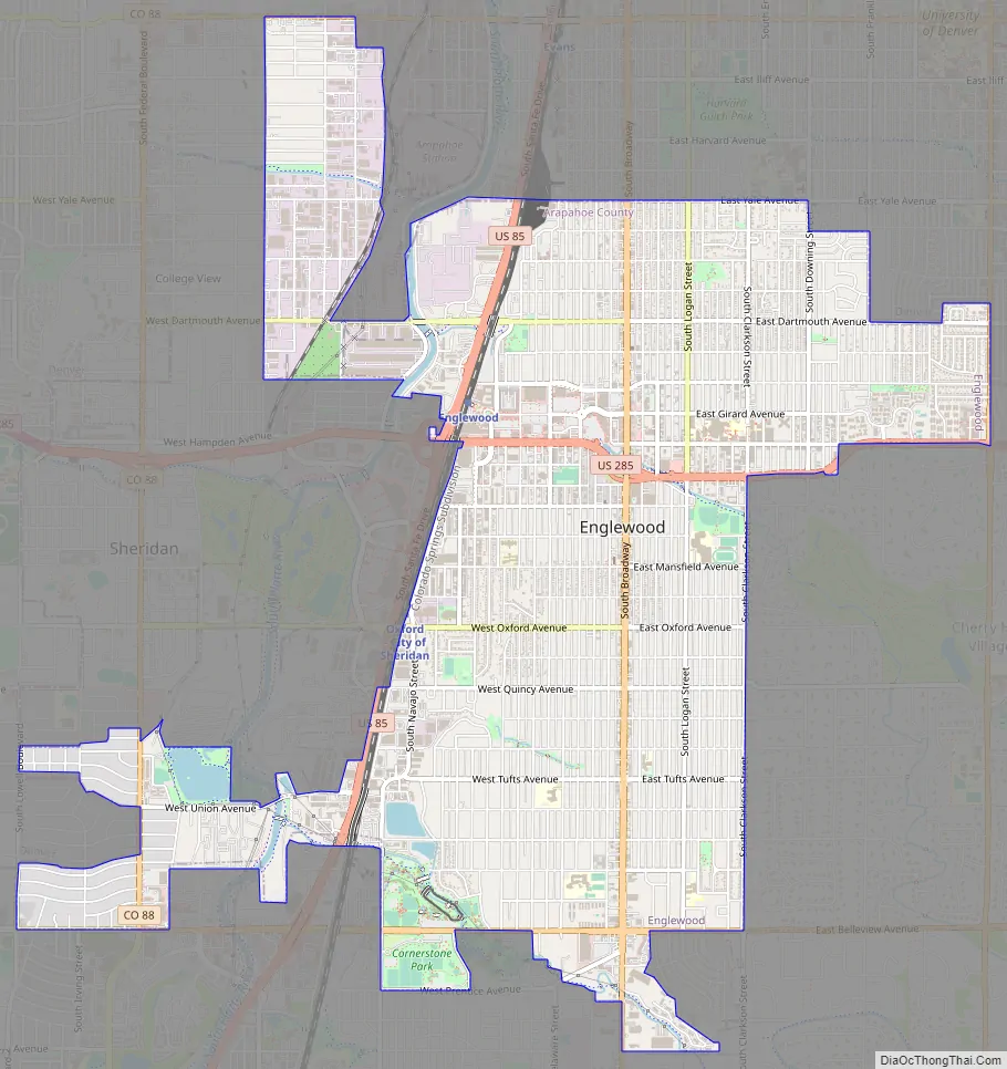
Englewood Road Map
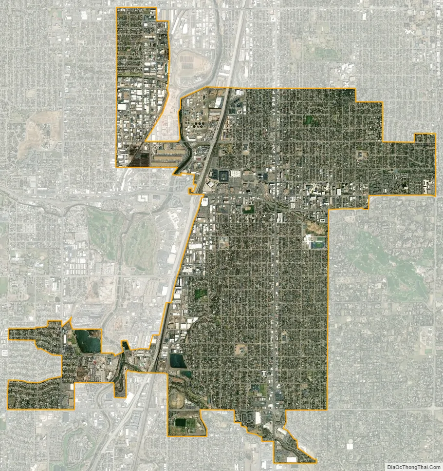
Englewood city Satellite Map
Geography
Englewood is located at 39°38′49″N 104°59′31″W / 39.64694°N 104.99194°W / 39.64694; -104.99194 (39.646837, -104.991986). The city is 5,371 feet (1,637 m) above sea level, higher than Denver.
At the 2020 United States Census, the town had a total area of 4,257 acres (17.229 km) including 56 acres (0.227 km) of water.
Climate
Englewood features a climate very similar to that of Denver, but is slightly milder and more stable due to the city’s location in a very low part of the South Platte River valley. Winds are very sparse throughout the city. The Köppen climate classification labels Englewood as having a cold, semiarid climate, BSk on climate maps.
See also
Map of Colorado State and its subdivision:- Adams
- Alamosa
- Arapahoe
- Archuleta
- Baca
- Bent
- Boulder
- Broomfield
- Chaffee
- Cheyenne
- Clear Creek
- Conejos
- Costilla
- Crowley
- Custer
- Delta
- Denver
- Dolores
- Douglas
- Eagle
- El Paso
- Elbert
- Fremont
- Garfield
- Gilpin
- Grand
- Gunnison
- Hinsdale
- Huerfano
- Jackson
- Jefferson
- Kiowa
- Kit Carson
- La Plata
- Lake
- Larimer
- Las Animas
- Lincoln
- Logan
- Mesa
- Mineral
- Moffat
- Montezuma
- Montrose
- Morgan
- Otero
- Ouray
- Park
- Phillips
- Pitkin
- Prowers
- Pueblo
- Rio Blanco
- Rio Grande
- Routt
- Saguache
- San Juan
- San Miguel
- Sedgwick
- Summit
- Teller
- Washington
- Weld
- Yuma
- Alabama
- Alaska
- Arizona
- Arkansas
- California
- Colorado
- Connecticut
- Delaware
- District of Columbia
- Florida
- Georgia
- Hawaii
- Idaho
- Illinois
- Indiana
- Iowa
- Kansas
- Kentucky
- Louisiana
- Maine
- Maryland
- Massachusetts
- Michigan
- Minnesota
- Mississippi
- Missouri
- Montana
- Nebraska
- Nevada
- New Hampshire
- New Jersey
- New Mexico
- New York
- North Carolina
- North Dakota
- Ohio
- Oklahoma
- Oregon
- Pennsylvania
- Rhode Island
- South Carolina
- South Dakota
- Tennessee
- Texas
- Utah
- Vermont
- Virginia
- Washington
- West Virginia
- Wisconsin
- Wyoming