Littleton is a home rule municipality city located in Arapahoe, Douglas, and Jefferson counties, Colorado, United States. Littleton is the county seat of Arapahoe County and is a part of the Denver–Aurora–Lakewood, CO Metropolitan Statistical Area. The city population was 45,652 at the 2020 United States Census, ranking as the 20th most populous municipality in the State of Colorado.
| Name: | Littleton city |
|---|---|
| LSAD Code: | 25 |
| LSAD Description: | city (suffix) |
| State: | Colorado |
| County: | Arapahoe County, Douglas County, Jefferson County |
| Incorporated: | March 13, 1890 |
| Elevation: | 5,351 ft (1,631 m) |
| Total Area: | 13.75 sq mi (35.63 km²) |
| Land Area: | 12.62 sq mi (32.69 km²) |
| Water Area: | 1.13 sq mi (2.93 km²) |
| Total Population: | 45,652 |
| Population Density: | 3,320.15/sq mi (1,281.92/km²) |
| ZIP code: | 80120-80130, 80160-80163 (PO Boxes), 80165, 80166 |
| Area code: | Both 303 and 720 |
| FIPS code: | 0845255 |
| Website: | littletongov.org |
Online Interactive Map
Click on ![]() to view map in "full screen" mode.
to view map in "full screen" mode.
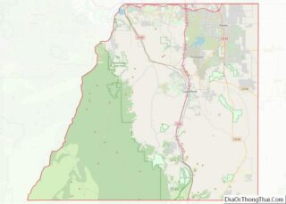
Littleton location map. Where is Littleton city?


History
The city of Littleton’s history dates back to the 1859 Pike’s Peak Gold Rush, which brought not only gold seekers, but merchants and farmers to the community. Richard Sullivan Little was an engineer from New Hampshire who made his way out West to work on irrigation systems. Little soon decided to settle in the area at present day Littleton and brought his wife Angeline out from the East in 1862. The Littles, along with many neighbors, built the Rough and Ready Flour Mill in 1867, which provided a solid economic base in the community. By 1890, the community had grown to 245 people and the residents voted to incorporate the Town of Littleton.
Littleton grew significantly throughout the 1950s and 1960s due to its proximity to Martin Marietta facilities, which produced the Titan rocket and other aerospace products.
Littleton twinned with Bega, Australia in 1961 as one of the earliest sister cities.
Littleton became widely known in 1999 when the Columbine High School massacre occurred, where two of the school’s students, Eric Harris and Dylan Klebold, murdered 12 students and one teacher, injured 23 others and then killed themselves. News media wrongly reported that the incident happened in the city, because the school’s ZIP code is primarily associated with Littleton. The school is actually located in adjacent Columbine, an unincorporated community, which is not a place name accepted by the U.S. Postal Service; by default, locations in ZIP code 80123 use “Littleton” in their mailing addresses. Columbine High School is in the Jefferson County school system and is not one of the Littleton Public Schools.
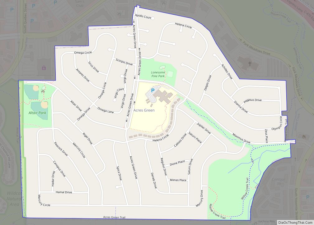
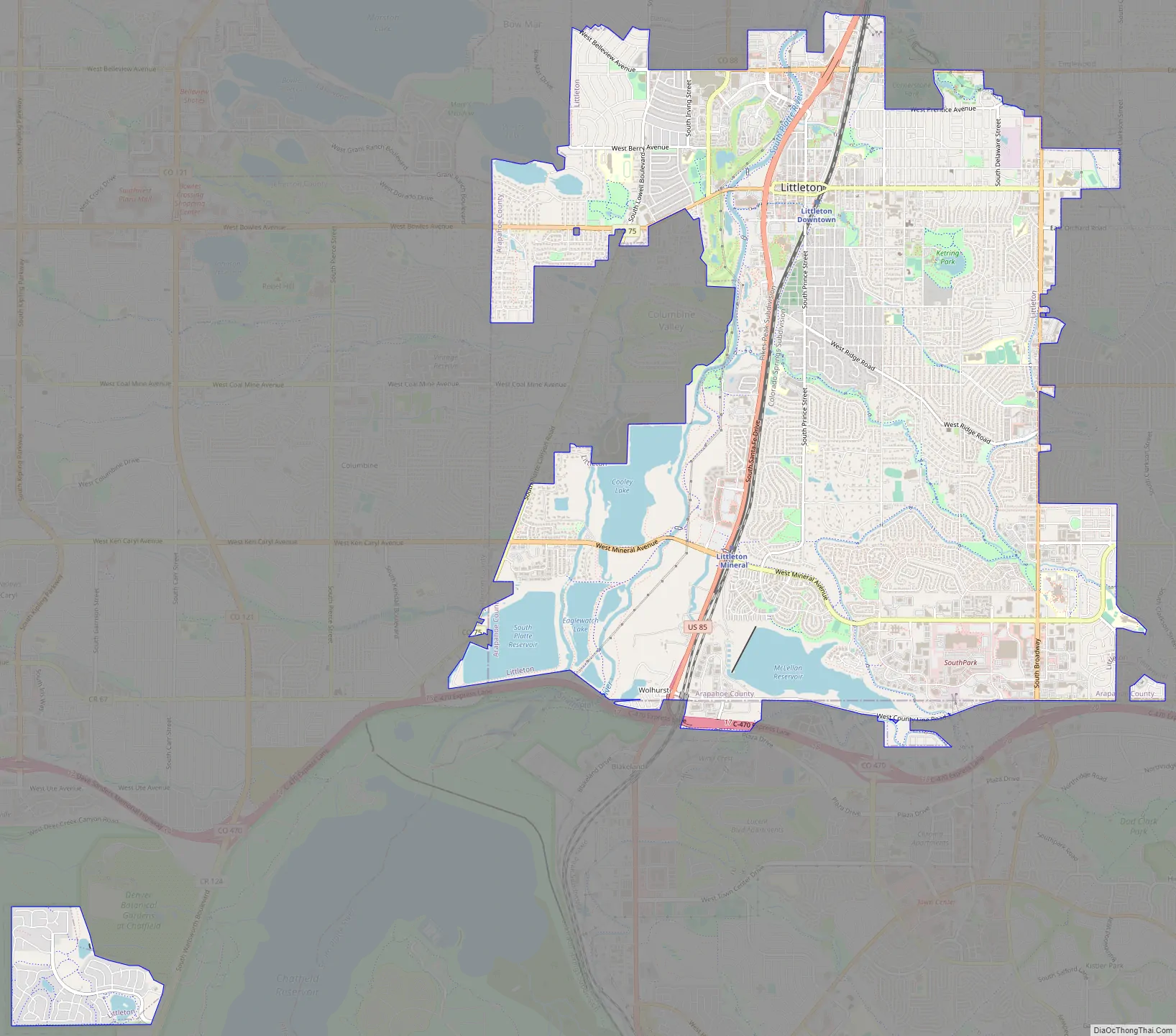
Littleton Road Map
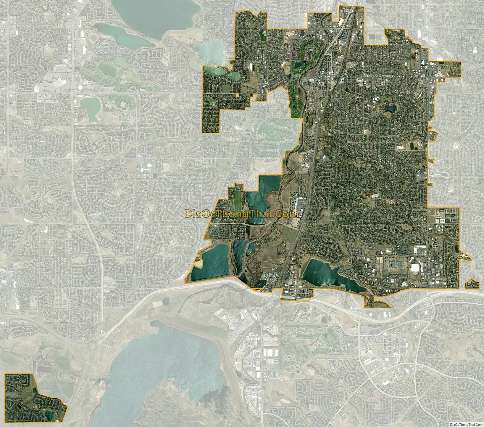
Littleton city Satellite Map
Geography
Littleton is located at 39°35′59″N 105°0′39″W / 39.59972°N 105.01083°W / 39.59972; -105.01083 (39.599691, −105.010929) at an elevation of 5,351 feet (1,631 m). Located in central Colorado at the junction of U.S. Route 85 and Colorado State Highway 470, the city is 9 miles (14 km) south of downtown Denver and 55 miles (89 km) north of Colorado Springs.
Littleton lies on the South Platte River in the Colorado Piedmont region of the Great Plains a few miles east of the Front Range of the Southern Rocky Mountains. Most of the city lies on the east side of the river. Several small tributaries of the river flow northwest through the city; from north to south, these include Big Dry Creek, Slaughterhouse Gulch, Lee Gulch, and Dad Clark Gulch. In addition, there are several small lakes and reservoirs located along the river in the southwestern part of the city. Immediately west of the river are Cooley Lake, Bufflehead Lake, South Platte Reservoir, Eaglewatch Lake, Redtail Lake, and Blackrock Lake. East of the river lie Wolhurst Lake and McLellen Reservoir which is fed and drained by Dad Clark Gulch. Chatfield Reservoir lies immediately southwest of the city.
According to the United States Census Bureau, the city has a total area of 13.87 square miles (35.9 km) of which 12.98 square miles (33.6 km) is land and 0.89 square miles (2.3 km) (6.4%) is water.
As a suburb of Denver, Littleton is part of the Denver-Aurora metropolitan area and the Front Range Urban Corridor. It shares a border with Denver and Englewood on the north, Greenwood Village on the northeast, Centennial on the east, Highlands Ranch on the south, Columbine and Columbine Valley on the west, and Bow Mar on the northwest.
Unlike most county seats of suburban counties, Littleton is on the same house numbering grid, including its downtown, as the major city, in this case, Denver.
Climate
See also
Map of Colorado State and its subdivision:- Adams
- Alamosa
- Arapahoe
- Archuleta
- Baca
- Bent
- Boulder
- Broomfield
- Chaffee
- Cheyenne
- Clear Creek
- Conejos
- Costilla
- Crowley
- Custer
- Delta
- Denver
- Dolores
- Douglas
- Eagle
- El Paso
- Elbert
- Fremont
- Garfield
- Gilpin
- Grand
- Gunnison
- Hinsdale
- Huerfano
- Jackson
- Jefferson
- Kiowa
- Kit Carson
- La Plata
- Lake
- Larimer
- Las Animas
- Lincoln
- Logan
- Mesa
- Mineral
- Moffat
- Montezuma
- Montrose
- Morgan
- Otero
- Ouray
- Park
- Phillips
- Pitkin
- Prowers
- Pueblo
- Rio Blanco
- Rio Grande
- Routt
- Saguache
- San Juan
- San Miguel
- Sedgwick
- Summit
- Teller
- Washington
- Weld
- Yuma
- Alabama
- Alaska
- Arizona
- Arkansas
- California
- Colorado
- Connecticut
- Delaware
- District of Columbia
- Florida
- Georgia
- Hawaii
- Idaho
- Illinois
- Indiana
- Iowa
- Kansas
- Kentucky
- Louisiana
- Maine
- Maryland
- Massachusetts
- Michigan
- Minnesota
- Mississippi
- Missouri
- Montana
- Nebraska
- Nevada
- New Hampshire
- New Jersey
- New Mexico
- New York
- North Carolina
- North Dakota
- Ohio
- Oklahoma
- Oregon
- Pennsylvania
- Rhode Island
- South Carolina
- South Dakota
- Tennessee
- Texas
- Utah
- Vermont
- Virginia
- Washington
- West Virginia
- Wisconsin
- Wyoming