Aurora (/əˈroʊrə/, /əˈrɔːrə/) is a home rule municipality located in Arapahoe, Adams, and Douglas counties, Colorado, United States. The city’s population was 386,261 at the 2020 United States Census with 336,035 residing in Arapahoe County, 47,720 residing in Adams County, and 2,506 residing in Douglas County. Aurora is the third most populous city in the State of Colorado and the 51st most populous city in the United States. Aurora is a principal city of the Denver–Aurora–Lakewood Metropolitan Statistical Area (MSA) and a major city of the Front Range Urban Corridor.
| Name: | Aurora city |
|---|---|
| LSAD Code: | 25 |
| LSAD Description: | city (suffix) |
| State: | Colorado |
| County: | Adams County, Arapahoe County, Douglas County |
| Elevation: | 5,403 ft (1,647 m) |
| Total Area: | 160.705 sq mi (416.223 km²) |
| Land Area: | 160.130 sq mi (414.734 km²) |
| Water Area: | 0.575 sq mi (1.489 km²) |
| Total Population: | 386,261 |
| Population Density: | 2,412/sq mi (931/km²) |
| ZIP code: | 80010-80019, 80040-80047 (all but 80045 PO Boxes), 80137, 80247 |
| FIPS code: | 0804000 |
| Website: | www.auroragov.org |
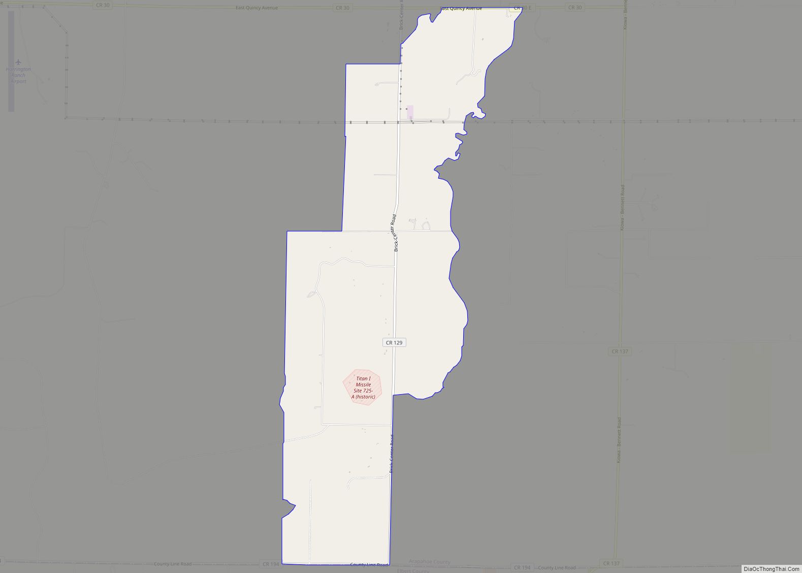
Online Interactive Map
Click on ![]() to view map in "full screen" mode.
to view map in "full screen" mode.
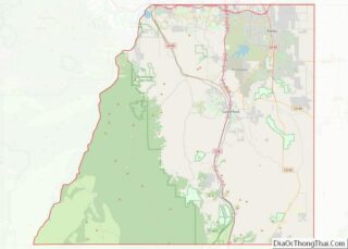
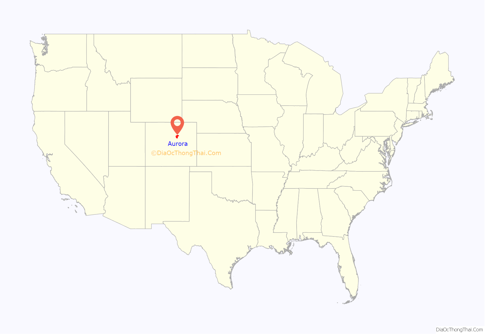
Aurora location map. Where is Aurora city?
History
Before European settlement, the land that now makes up Aurora was the territory of the Arapaho, Cheyenne, Núu-agha-tʉvʉ-pʉ̱ (Ute), and Očeti Šakówiŋ (Sioux) tribes. Aurora originated in the 1880s as the town of Fletcher, taking its name from Denver businessman Donald Fletcher who saw it as a real estate opportunity. He and his partners staked out four square miles (10 km) east of Denver, but the town – and Colorado – struggled mightily after the Silver Crash of 1893. At that point Fletcher skipped town, leaving the community with a huge water debt. Inhabitants decided to rename the town Aurora in 1907, after one of the subdivisions composing the town, and Aurora slowly began to grow in Denver’s shadow becoming the fastest-growing city in the United States during the late 1970s and early 1980s. Aurora, composed of hundreds of subdivisions, thus carries the name of one of the original development plats from which it sprang.
Aurora’s growing population in recent decades has led to efforts for co-equal recognition with its larger neighbor. Former mayor Dennis Champine once expressed the somewhat whimsical notion that eventually the area would be called the “Aurora/Denver Metropolitan Area”. Indeed, since the 2000 Census Aurora has surpassed Denver in land area, and much of Aurora is undeveloped, while Denver is more fully built-out. However, such efforts are somewhat hampered by the lack of a large, historically important central business district in the city. Aurora is largely suburban in character, as evidenced by the city’s modest number of multi-story buildings.
A large military presence has existed in Aurora since the early 20th century. In 1918, Army General Hospital #21 (later renamed Fitzsimons Army Hospital) opened, with the U.S. government expanding and upgrading the hospital facilities in 1941 just in time to care for the wounded servicemen of World War II. Lowry Air Force Base was opened in 1938, straddling the border of Aurora and Denver. It eventually closed in 1994, and has been redeveloped into a master-planned community featuring residential, commercial, business and educational facilities. In 1942, the Army Air Corps built Buckley Field, which has been renamed Naval Air Station, Buckley Air National Guard Base, Buckley Air Force Base, and finally Buckley Space Force Base. The base, home of the Buckley Garrison and the 140th Wing Colorado Air National Guard, is Aurora’s largest employer.
President Warren G. Harding visited Fitzsimons Army Hospital in 1923, and President Franklin D. Roosevelt visited in 1936. In 1943 the hospital was the birthplace of 2004 Democratic presidential candidate John Kerry. President Dwight D. Eisenhower recovered from a heart attack at Fitzsimons for seven weeks during the fall of 1955. Decommissioned in 1999, the facility is part of the Anschutz Medical Campus of the University of Colorado Denver, and the Fitzsimons Life Science District. The Anschutz Medical Campus also includes the University of Colorado Hospital, which moved to Aurora from Denver in 2007, and the Children’s Hospital. The first carbon-ion radiotherapy research and treatment facility in the U.S. has been proposed at the site. These facilities will employ a workforce of 32,000 at build-out.
In 1965, mayor Norma O. Walker became the first woman to head a U.S. city with a population over 60,000.
In 1978, the cult coming-of-age film Over the Edge was filmed in Aurora; the crime drama has been named the “signature film” of Denver.
In 1979, it was announced that a science fiction theme park would be built in Aurora using the sets of a $50 million film based on the fantasy novel Lord of Light. However, due to legal problems the project was never completed. The script of the unmade film project, renamed Argo, was used as cover for the “Canadian Caper”: the exfiltration of six U.S. diplomatic staff trapped by the Iranian hostage crisis.
In 1993, Cherry Creek State Park on the southwestern edge of Aurora was the location for the papal mass of the 8th World Youth Day with Pope John Paul II, attended by an estimated 500,000 people.
Aurora is split among three counties and lies distant from the respective county seats. A consolidated city and county government such as those found elsewhere in Colorado (Denver and Broomfield) was considered in the mid-1990s but failed to win approval by city voters; the issue was reconsidered in 2006.
Aurora Sports Park opened in 2003. In 2004, Aurora was honored as the Sports Illustrated magazine’s 50th Anniversary “Sportstown” for Colorado because of its exemplary involvement in facilitating and enhancing sports. The city attracts more than 30 regional and national sports tournaments annually to Aurora’s fields, which include the 220-acre (0.89 km) Aurora’s active populace is also reflected in the variety of professional athletes hailing from the city. Aurora’s first semi-professional sports franchise, the Aurora Cavalry in the International Basketball League, began play in 2006 but folded by season’s end due to budget mishaps.
In 2008, Aurora was designated an All-America City by the National Civic League.
Aurora pioneered the use of bank filtration in the United States, becoming one of the first U.S. cities to reap the benefits of siphoning water from beneath a riverbed upon completion of the Prairie Waters Project in 2010.
In 2017, the Republic of El Salvador opened a consulate in Aurora, serving Colorado, Kansas, Nebraska, and Wyoming.
Aurora theater shooting
On July 20, 2012, Aurora was the site of the deadliest shooting by a lone shooter in Colorado (and the state’s overall second deadliest, after the 1999 Columbine High School massacre). The shooting occurred just after midnight, when James Holmes opened fire during the midnight premiere of The Dark Knight Rises in a Century movie theater, killing 12 people and injuring 70 others. Holmes was arrested and was eventually sentenced to 12 life sentences in prison with an additional required 3,318 years. The shooting drew an international response from world leaders. U.S. President Barack Obama visited victims, as well as local and state officials, and addressed the nation in a televised address from Aurora on July 22. Actor Christian Bale, who plays Batman in the film, also visited some victims in hospitals. The events marked a turning point in recognition and public perception of the city; rather than referring to the site as being in “Denver” or “suburban Denver”, as would have been typical before the event, virtually all media accounts of the incident unequivocally named “Aurora” as its location.
Elijah McClain
On August 30, 2019, Aurora African-American massage therapist Elijah McClain died six days after an incident with three Aurora police officers. On June 27, 2020, Aurora Police in riot gear dispersed thousands of protestors in the Violin Protest of the death of Elijah McClain.
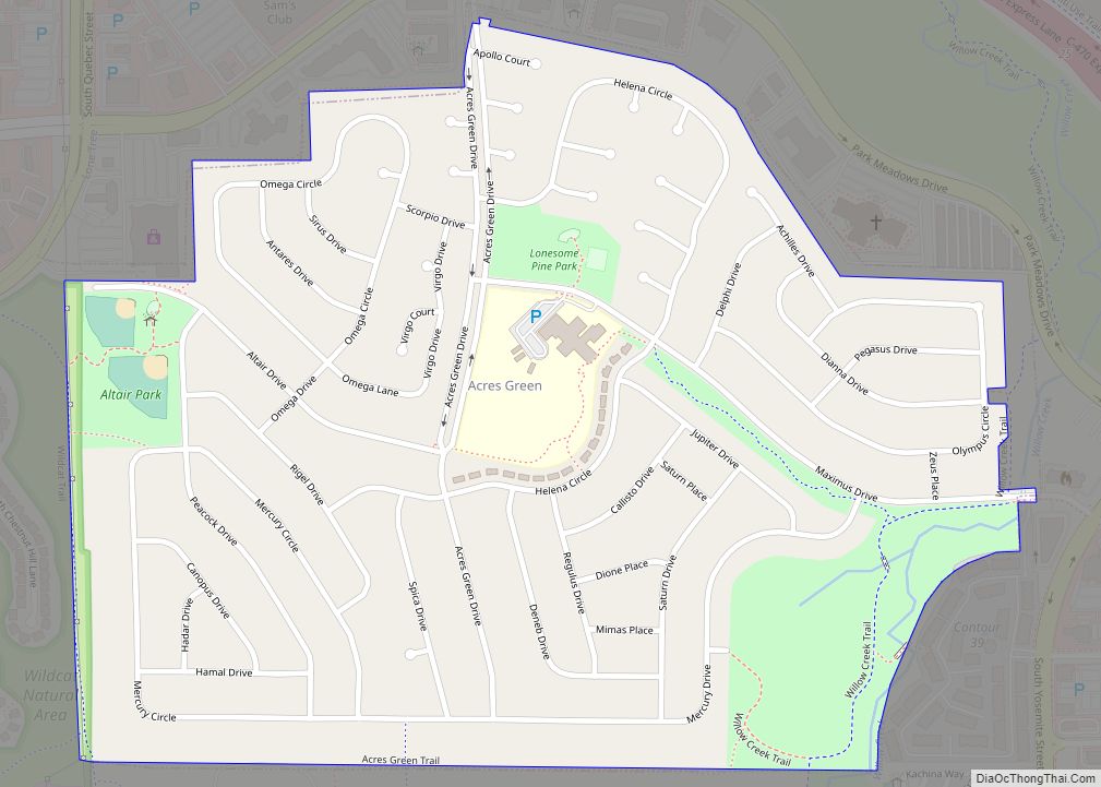
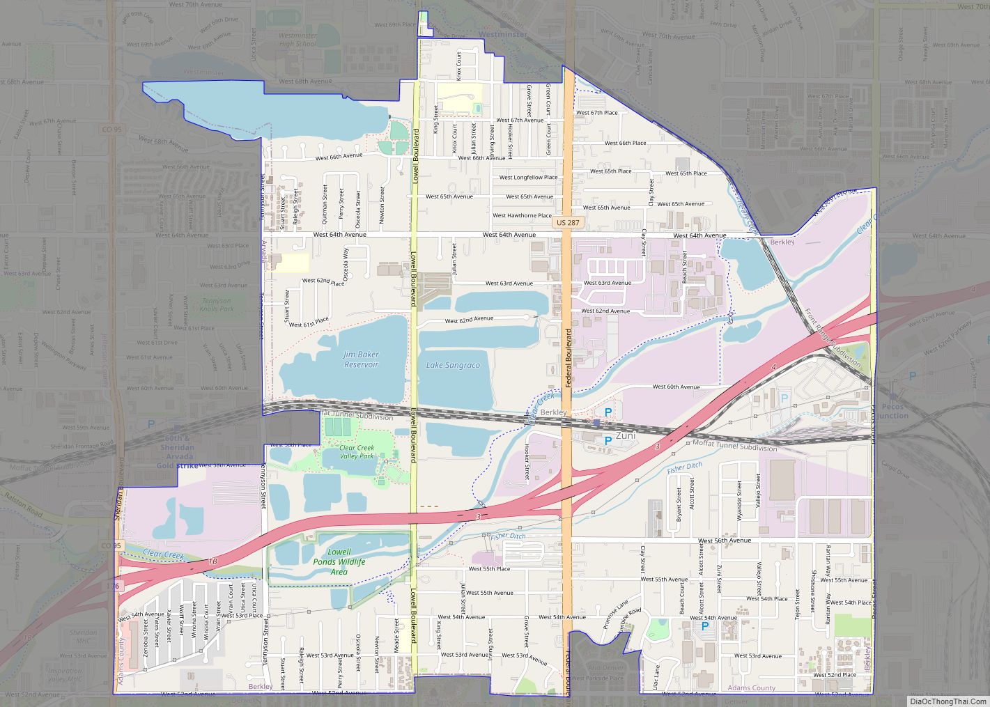
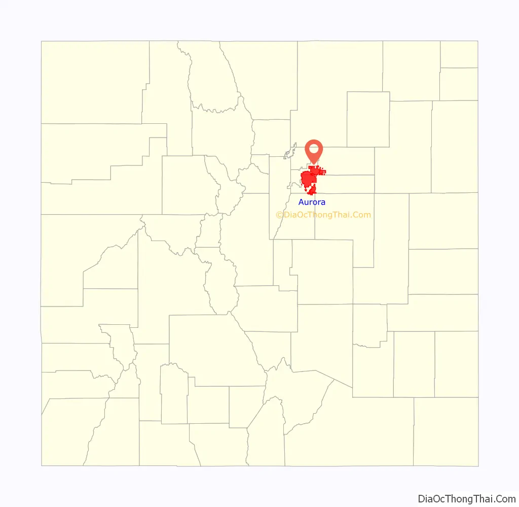
Aurora Road Map
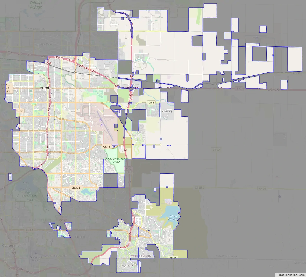
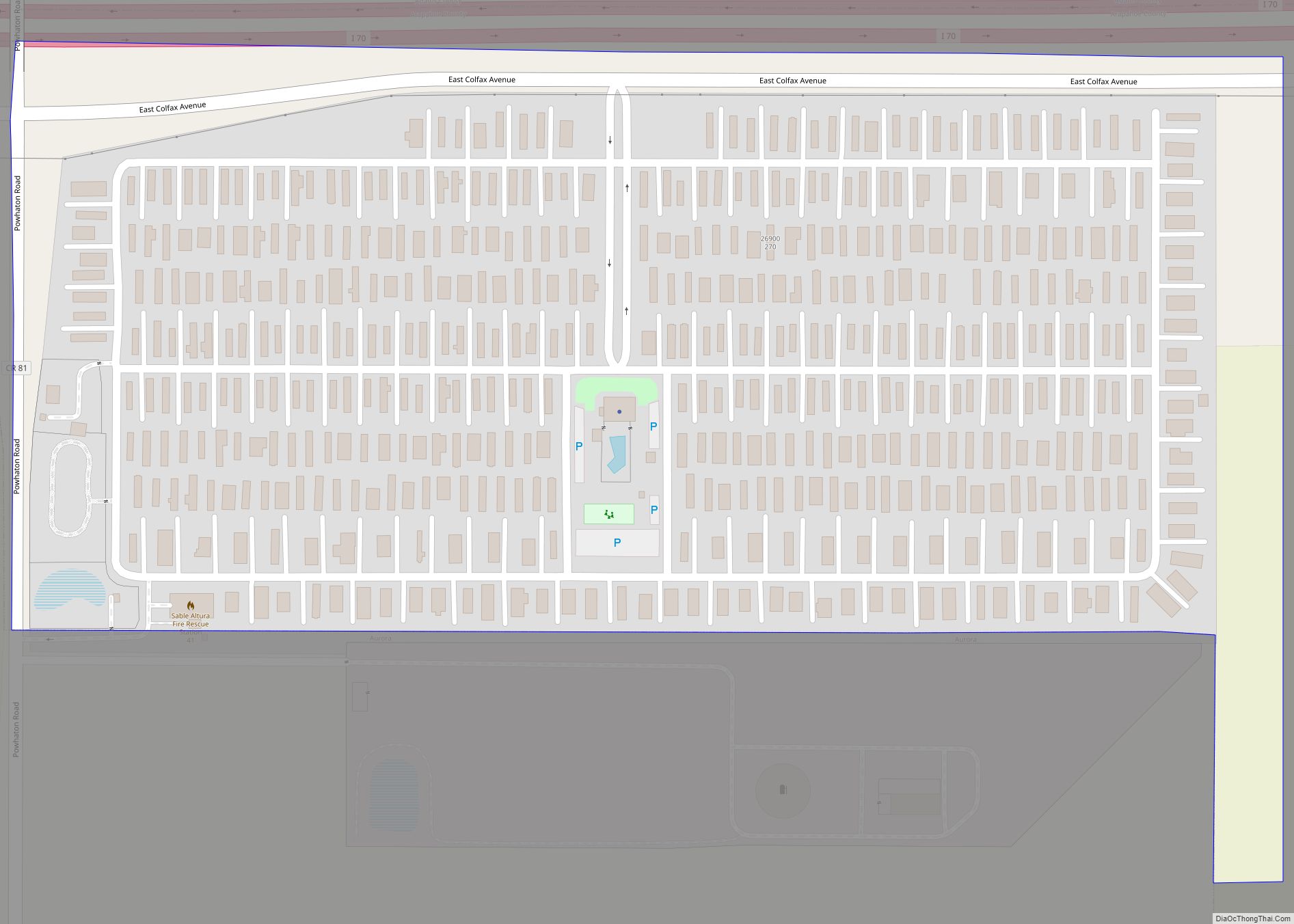
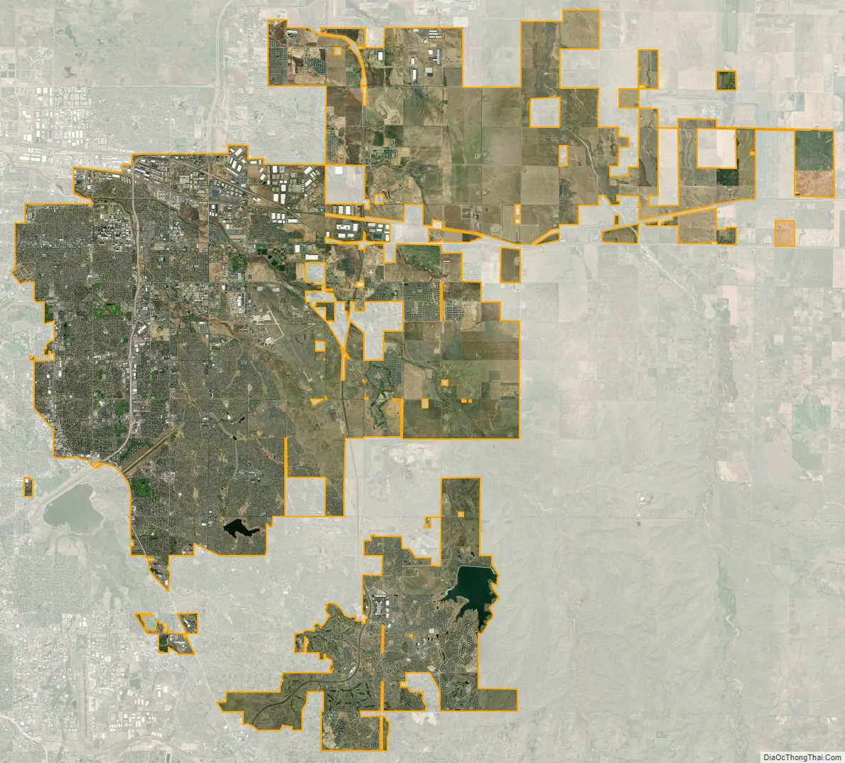
Aurora city Satellite Map
Geography
Aurora’s official elevation, posted on signs at the city limits, is 5,471 feet (1,668 m). However, the city spans a difference in elevation of nearly 1,000 feet (300 m). The lowest elevation of 5,285 feet (1,611 m) is found at the point where Sand Creek crosses the city limit in the northwest corner of the city, while the highest elevation of 6,229 feet (1,899 m) is on the extreme southern border of the city in Douglas County, near the intersection of Inspiration and Gartrell roads.
At the 2020 United States Census, the city had a total area of 102,851 acres (416.223 km) including 368 acres (1.489 km) of water. The city is about 5 percent more extensive than neighboring Denver and ranks as the 56th largest U.S. city in land area.
Neighborhoods
Aurora is composed of dozens of neighborhoods, districts and (current and former) military installations. Among them:
- Aurora Heights
- The Aurora Highlands
- Adonea
- Aurora Hills
- Aurora Knolls
- Beacon Point
- Berkshire Village
- Blackstone
- Brookvale
- Buckley Space Force Base
- Carriage Place
- Chadsford
- Chaddsford Village
- Chambers Heights
- Chelsea
- Cinnamon Village II
- Conservatory
- Copperleaf
- Corning
- Crestridge
- Cross Creek
- The Dam East
- Del Mar
- The Dam West
- Downtown A-Town (the Fletcher townsite, Aurora’s “downtown”)
- Eastridge
- East Quincy Highlands
- Fitzsimons Campus
- Fox Hill
- Greenfield
- Hallcraft’s Village East
- Hampton Hills
- Havana Heights
- Heather Gardens
- Heather Ridge
- Heritage Eagle Bend Golf Club
- Highline Villages
- Highpoint
- Hillside at Del Mar
- Hoffman Heights
- Hutchinson Heights
- Inspiration
- Jackson Farm
- Kingsborough
- Laredo-Highline
- Lowry Campus (formerly Lowry Air Force Base)
- Lynn Knoll
- Meadowood
- Meadow Hills
- Mission Viejo
- Morris Heights
- Murphy Creek
- Peoria Park
- Pheasant Run
- Piney Creek
- Ponderosa Ridge
- Pride’s Crossing
- Ptarmigan Park
- Queensborough
- Quincy Hill
- Rocking Horse
- Saddle Rock
- Settler’s Village
- Serenity Ridge
- Seven Hills
- Shenandoah
- Stapleton (a portion of the redevelopment of Denver’s former airport lies in Aurora, directly north of Original Aurora)
- Siena
- Smoky Hill
- Smoky Ridge
- Sterling Hills
- Stricker’s House
- Summer Valley Ranch
- Tallgrass
- Tallyn’s Reach
- The Timbers
- Tollgate Run at Kingsborough
- Tollgate Village
- Traditions
- Tuscany
- Utah Park
- Village East
- Waters Edge
- Wheatlands
- Whispering Pines
- Willow Park
- Willow Trace
- Woodgate
- Woodrim
Surrounding municipalities
Climate
Aurora experiences a semi-arid climate (Köppen climate classification BSk), with four distinct seasons and modest precipitation year-round. Summers range from mild to hot, with generally low humidity and frequent afternoon thunderstorms, and Aurora also averages about one dozen tornado warnings throughout tornado season, running from April–July. Although a touchdown does occur every couple of years, tornadoes are typically weak and short lived. Aurora residents typically hear the tornado sirens go off numerous times more than residents in Denver, to the West. All of Aurora is located east of I-25, where tornado alley begins. Hailstorms, at times 1–2’+ deep happen on occasion, and typical hailstorms are very common throughout these months. July is the warmest month of the year, with an average high of 89 °F (32 °C) and an average low of 57 °F (14 °C). Winters range from mild to occasional bitter cold, with periods of sunshine alternating with periods of snow, high winds and very low temperatures. December is the coldest month of the year, with an average high of 43 °F (6 °C) and an average low of 17 °F (−8 °C). The average first snowfall in the Aurora area occurs in late October and the average final snowfall occurs in late April, although snow has fallen as early as September 4 and as late as June 5. Generally, deciduous trees in the area are bare from mid October to late April.
See also
Map of Colorado State and its subdivision:- Adams
- Alamosa
- Arapahoe
- Archuleta
- Baca
- Bent
- Boulder
- Broomfield
- Chaffee
- Cheyenne
- Clear Creek
- Conejos
- Costilla
- Crowley
- Custer
- Delta
- Denver
- Dolores
- Douglas
- Eagle
- El Paso
- Elbert
- Fremont
- Garfield
- Gilpin
- Grand
- Gunnison
- Hinsdale
- Huerfano
- Jackson
- Jefferson
- Kiowa
- Kit Carson
- La Plata
- Lake
- Larimer
- Las Animas
- Lincoln
- Logan
- Mesa
- Mineral
- Moffat
- Montezuma
- Montrose
- Morgan
- Otero
- Ouray
- Park
- Phillips
- Pitkin
- Prowers
- Pueblo
- Rio Blanco
- Rio Grande
- Routt
- Saguache
- San Juan
- San Miguel
- Sedgwick
- Summit
- Teller
- Washington
- Weld
- Yuma
- Alabama
- Alaska
- Arizona
- Arkansas
- California
- Colorado
- Connecticut
- Delaware
- District of Columbia
- Florida
- Georgia
- Hawaii
- Idaho
- Illinois
- Indiana
- Iowa
- Kansas
- Kentucky
- Louisiana
- Maine
- Maryland
- Massachusetts
- Michigan
- Minnesota
- Mississippi
- Missouri
- Montana
- Nebraska
- Nevada
- New Hampshire
- New Jersey
- New Mexico
- New York
- North Carolina
- North Dakota
- Ohio
- Oklahoma
- Oregon
- Pennsylvania
- Rhode Island
- South Carolina
- South Dakota
- Tennessee
- Texas
- Utah
- Vermont
- Virginia
- Washington
- West Virginia
- Wisconsin
- Wyoming