The City of Lakewood is the home rule municipality that is the most populous municipality in Jefferson County, Colorado, United States. The city population was 155,984 at the 2020 U.S. Census, making Lakewood the fifth most populous city in Colorado and the 167th most populous city in the United States. Lakewood is a suburb of Denver and is the principal city of the Denver–Aurora–Lakewood, CO Metropolitan Statistical Area and a major city of the Front Range Urban Corridor.
| Name: | Lakewood city |
|---|---|
| LSAD Code: | 25 |
| LSAD Description: | city (suffix) |
| State: | Colorado |
| County: | Jefferson County |
| Founded: | 1889 |
| Incorporated: | 1969 |
| Elevation: | 5,518 ft (1,682 m) |
| Total Area: | 44.647 sq mi (115.635 km²) |
| Land Area: | 43.473 sq mi (112.595 km²) |
| Water Area: | 1.174 sq mi (3.040 km²) |
| Total Population: | 155,984 |
| Population Density: | 3,588/sq mi (1,385/km²) |
| ZIP code: | Denver 80214-80215, 80227, 80226-80228, 80232, 80235-80236 Golden 80401 Littleton 80123 |
| Area code: | Both 303 and 720 |
| FIPS code: | 0843000 |
| Website: | www.lakewood.org |
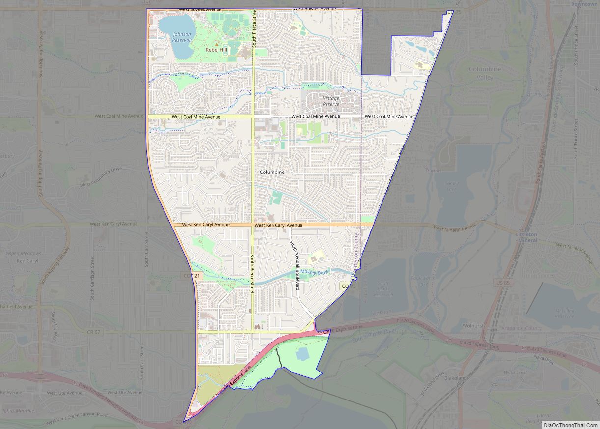
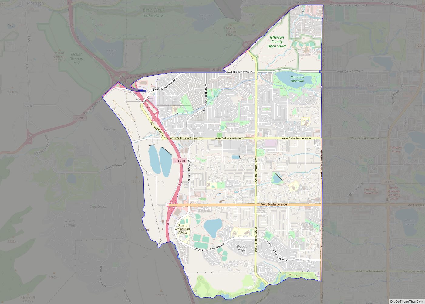
Online Interactive Map
Click on ![]() to view map in "full screen" mode.
to view map in "full screen" mode.
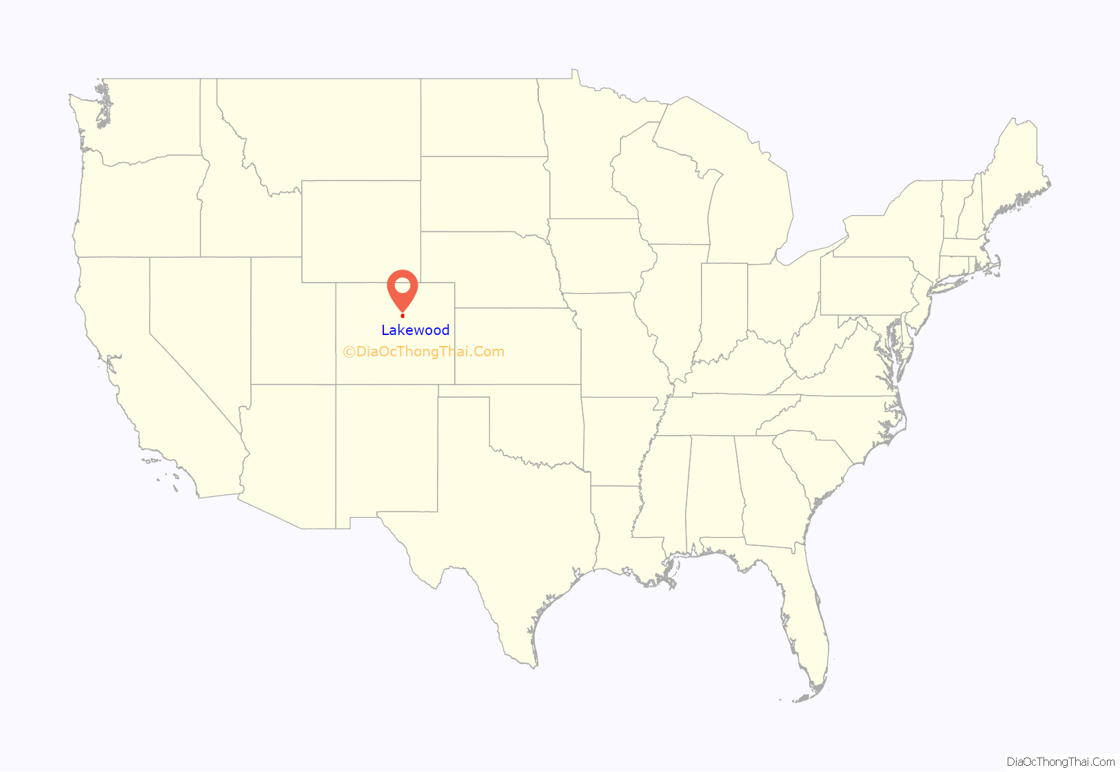
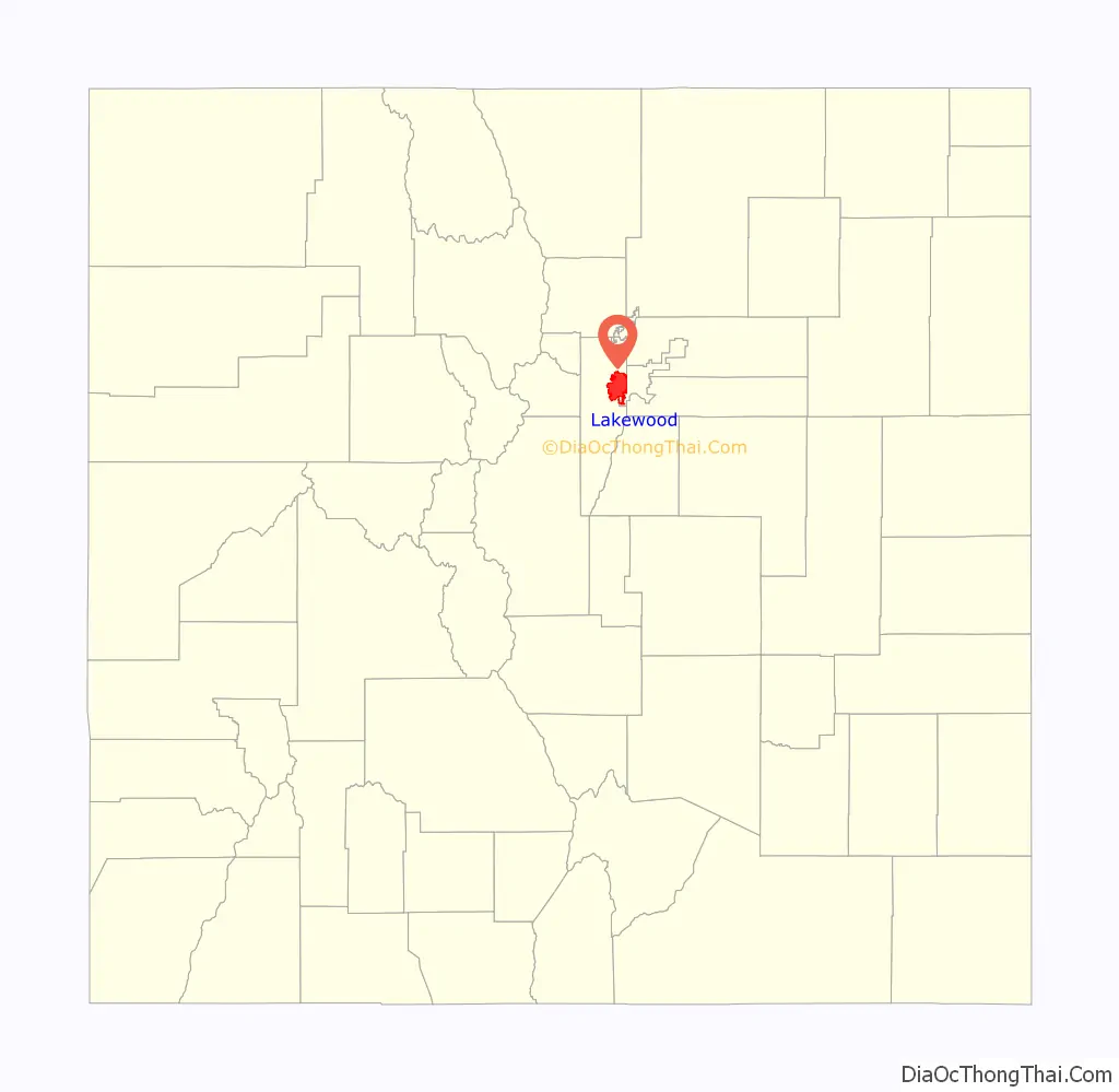
Lakewood location map. Where is Lakewood city?
History
The urban and suburban development of the community known as Lakewood was started in 1889 by Charles Welch and W.A.H. Loveland, who platted a 13-block area along Colfax Avenue west of Denver in eastern Jefferson County. Loveland, the former president of the Colorado Central Railroad, retired to the new community of Lakewood after many years of living in Golden.
Until 1969, the area known as Lakewood had no municipal government, relying instead on several water districts, several fire districts, and the government of Jefferson County. Lakewood was a community with policing provided by the Jefferson County Sheriff, several volunteer-staffed fire districts, and some neighborhoods without street lights or sidewalks. However, the community had already existed for about 80 years.
The City of Lakewood was incorporated in 1969 as Jefferson City. Soon after, an election was held and the city’s name was changed to Lakewood, due to an overwhelming dislike of “Jefferson City” and the belief that it would be confused with existing communities in Colorado and Missouri. At the time of incorporation, the city population was already over 90,000.
Lakewood never had a traditional downtown area. West Colfax Avenue served the metropolitan area as U.S. Route 40 and the main route joining Denver with the Rocky Mountains. As such, Colfax from Harlan west to Kipling and beyond had mostly commercial establishments. In addition to the Jewish Consumptives’ Relief Society (JCRS) for tuberculosis patients, the small, frame Methodist Church, and telephone exchange, by the 1950s grocery and drug stores, gas stations, restaurants and taverns, several motels, branch banks, a movie theater, a roller rink, a bowling alley, and used car lots emerged there. Several multiple-business “shopping centers” developed followed by much larger centers at JCRS and Westland. The Villa Italia Mall on West Alameda Avenue, 20 blocks south of Colfax, reflected the southward expansion of the Lakewood settlement and housed a larger concentration of retail space. As the mall went into decline, the Lakewood City Council developed a plan to demolish the Villa Italia Mall and replace it with a new development called Belmar.
In 2011, Lakewood was named an All-America City for the first time.
December 2021 rampage
On December 27, 2021, a Denver gunman killed three Denver residents and two Lakewood residents before being killed by seriously wounded Lakewood Police Agent Ashley Ferris.
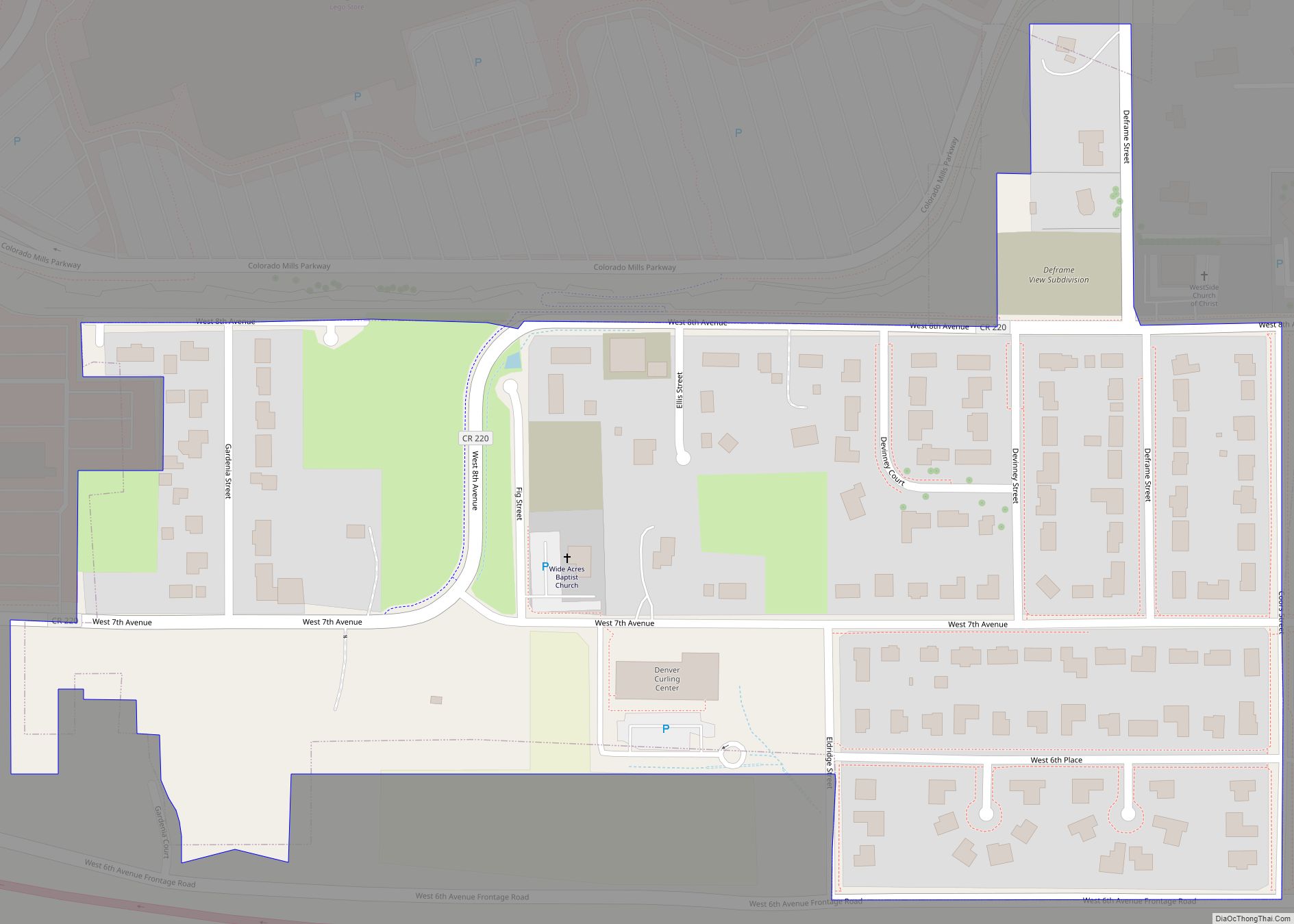
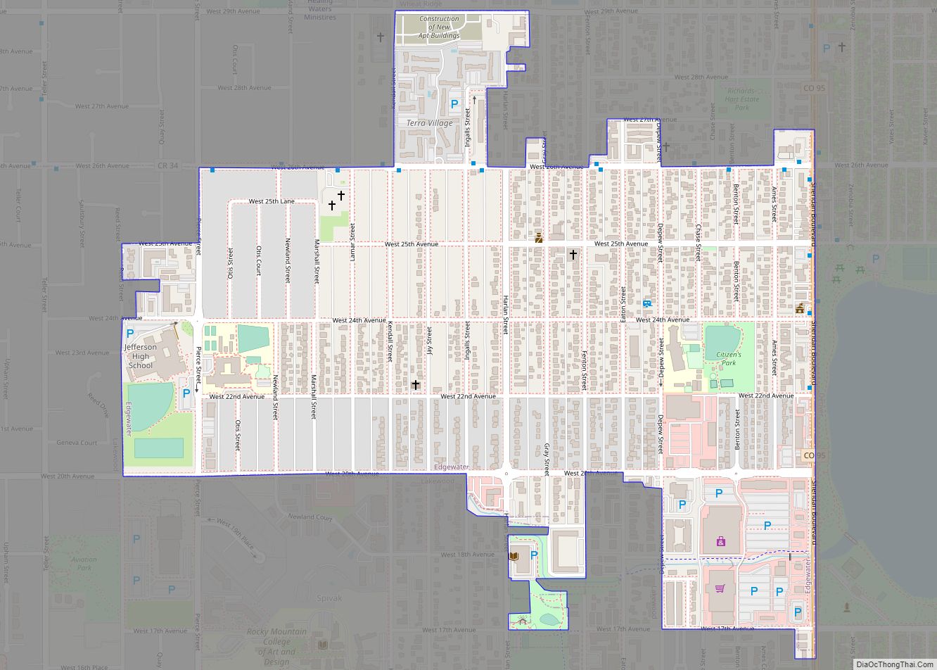
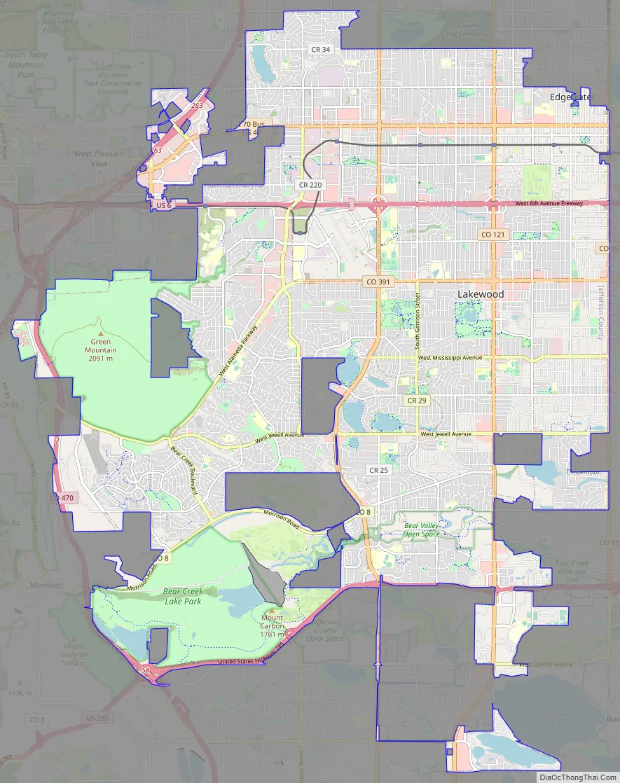
Lakewood Road Map
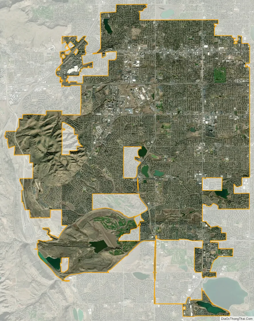
Lakewood city Satellite Map
Geography
Lakewood is located at 39°42′17″N 105°04′53″W / 39.70472°N 105.08139°W / 39.70472; -105.08139 at an elevation of 5,518 feet (1,682 m). Located at the junction of U.S. Route 6 and Colorado State Highway 121 in central Colorado, the city lies immediately west of Denver and 62 miles (100 km) north-northwest of Colorado Springs.
Lakewood lies in the Colorado Piedmont on the western edge of the Great Plains just east of the Front Range of the southern Rocky Mountains. Green Mountain, a mesa 6,854 feet (2,089 m) tall, is located in the far west-central part of the city.
The city is located in the watershed of the South Platte River, and several small tributaries of the river flow generally east through it. From north to south, these include Lakewood Gulch, Weir Gulch, Sanderson Gulch, and Bear Creek. Two tributaries of Lakewood Gulch, Dry Gulch, and McIntyre Gulch flow east through the northern part of the city. Turkey Creek, a tributary of Bear Creek, flows northeast through the far southwestern part of the city. In addition, Lena Gulch, a tributary of Clear Creek to the north, flows east then north through the extreme northwestern part of the city.
Several small lakes and reservoirs are in Lakewood. The Soda Lakes lie in the extreme southwestern part of the city. East of them lies Bear Creek Lake, a reservoir fed by Bear Creek and Turkey Creek. Clustered near each other in central Lakewood are Main Reservoir, East Reservoir, Smith Reservoir, Kendrick Lake, and Cottonwood Lake. Northeast of them lies Kountze Lake. In the northwestern part of the city, Lena Gulch both feeds and drains Maple Grove Reservoir. In the extreme southern part of the city lies Bowles Reservoir No. 1 and, just outside the city limits to the reservoir’s northeast, Marston Lake.
At the 2020 United States Census, the town had a total area of 28,574 acres (115.635 km) including 751 acres (3.040 km) of water.
As a suburb of Denver, Lakewood is part of both the greater Denver metropolitan area and the Front Range Urban Corridor. It borders other communities on all sides, including Wheat Ridge to the north, Edgewater to the northeast, Denver to the east and southeast, Dakota Ridge to the south, Morrison to the southwest, and Golden, West Pleasant View, East Pleasant View, and Applewood to the northwest.
Climate
According to the Köppen Climate Classification system, Lakewood has a cold semiarid climate, abbreviated “Bsk” on climate maps.
See also
Map of Colorado State and its subdivision:- Adams
- Alamosa
- Arapahoe
- Archuleta
- Baca
- Bent
- Boulder
- Broomfield
- Chaffee
- Cheyenne
- Clear Creek
- Conejos
- Costilla
- Crowley
- Custer
- Delta
- Denver
- Dolores
- Douglas
- Eagle
- El Paso
- Elbert
- Fremont
- Garfield
- Gilpin
- Grand
- Gunnison
- Hinsdale
- Huerfano
- Jackson
- Jefferson
- Kiowa
- Kit Carson
- La Plata
- Lake
- Larimer
- Las Animas
- Lincoln
- Logan
- Mesa
- Mineral
- Moffat
- Montezuma
- Montrose
- Morgan
- Otero
- Ouray
- Park
- Phillips
- Pitkin
- Prowers
- Pueblo
- Rio Blanco
- Rio Grande
- Routt
- Saguache
- San Juan
- San Miguel
- Sedgwick
- Summit
- Teller
- Washington
- Weld
- Yuma
- Alabama
- Alaska
- Arizona
- Arkansas
- California
- Colorado
- Connecticut
- Delaware
- District of Columbia
- Florida
- Georgia
- Hawaii
- Idaho
- Illinois
- Indiana
- Iowa
- Kansas
- Kentucky
- Louisiana
- Maine
- Maryland
- Massachusetts
- Michigan
- Minnesota
- Mississippi
- Missouri
- Montana
- Nebraska
- Nevada
- New Hampshire
- New Jersey
- New Mexico
- New York
- North Carolina
- North Dakota
- Ohio
- Oklahoma
- Oregon
- Pennsylvania
- Rhode Island
- South Carolina
- South Dakota
- Tennessee
- Texas
- Utah
- Vermont
- Virginia
- Washington
- West Virginia
- Wisconsin
- Wyoming