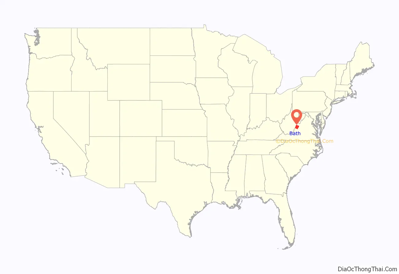
Bath County is a United States county on the central western border of the Commonwealth of Virginia, on the West Virginia state line. As of the 2020 census, the population was 4,209, the second-least populous county in Virginia. Bath’s county seat is Warm Springs.
| Name: | Bath County |
|---|---|
| FIPS code: | 51-017 |
| State: | Virginia |
| Founded: | 1790 |
| Named for: | Bath, England |
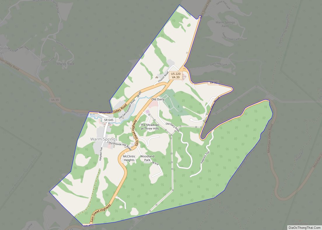
| Seat: | Warm Springs |
| Total Area: | 535 sq mi (1,390 km²) |
| Land Area: | 529 sq mi (1,370 km²) |
| Total Population: | 4,209 |
| Population Density: | 7.9/sq mi (3.0/km²) |
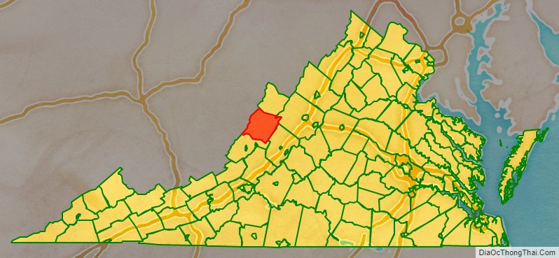
Bath County location map. Where is Bath County?
History
Bath County was created on December 14, 1790, from parts of Augusta, Botetourt, and Greenbrier counties. Due to the many mineral springs found in the area, the county was named for the English spa and resort city of Bath. In the early 1700s, before the county was formed, the area that subsequently became Bath County was settled by immigrants from England. The families who settled in what has since become Bath County came to Virginia from the English regions of Hampshire, Wiltshire, Gloucestershire, Northamptonshire, the western portion of Sussex, Dorset, Somerset, Norfolk, Suffolk, Surrey, Kent and Lincolnshire. This was notable because much of Shenandoah Valley region was settled by Scots-Irish immigrants and German farmers, both of whom were moving southward from Pennsylvania, whereas by contrast, what has since become Bath County was almost exclusively English. By the year 1800, Bath County was exclusively inhabited by first generation English immigrants and their Virginia-born children. This population was mostly subsistence farmers, though some were also artisans and smaller amounts were shopkeepers.
Like its namesake, Bath County’s economy is focused on tourism and recreation. The county’s major employer is The Omni Homestead, a resort and historic hotel built in 1766 as “The Homestead” in Hot Springs. Additional recreational opportunities are provided by camping and fishing at Lake Moomaw in the southern part of the county.
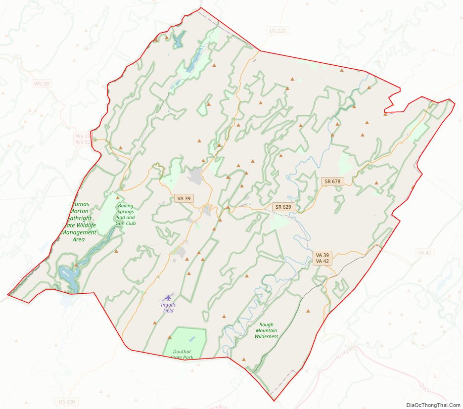
Bath County Road Map
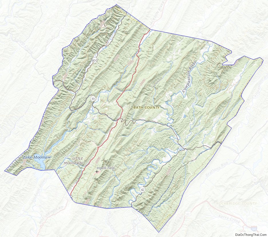
Geography
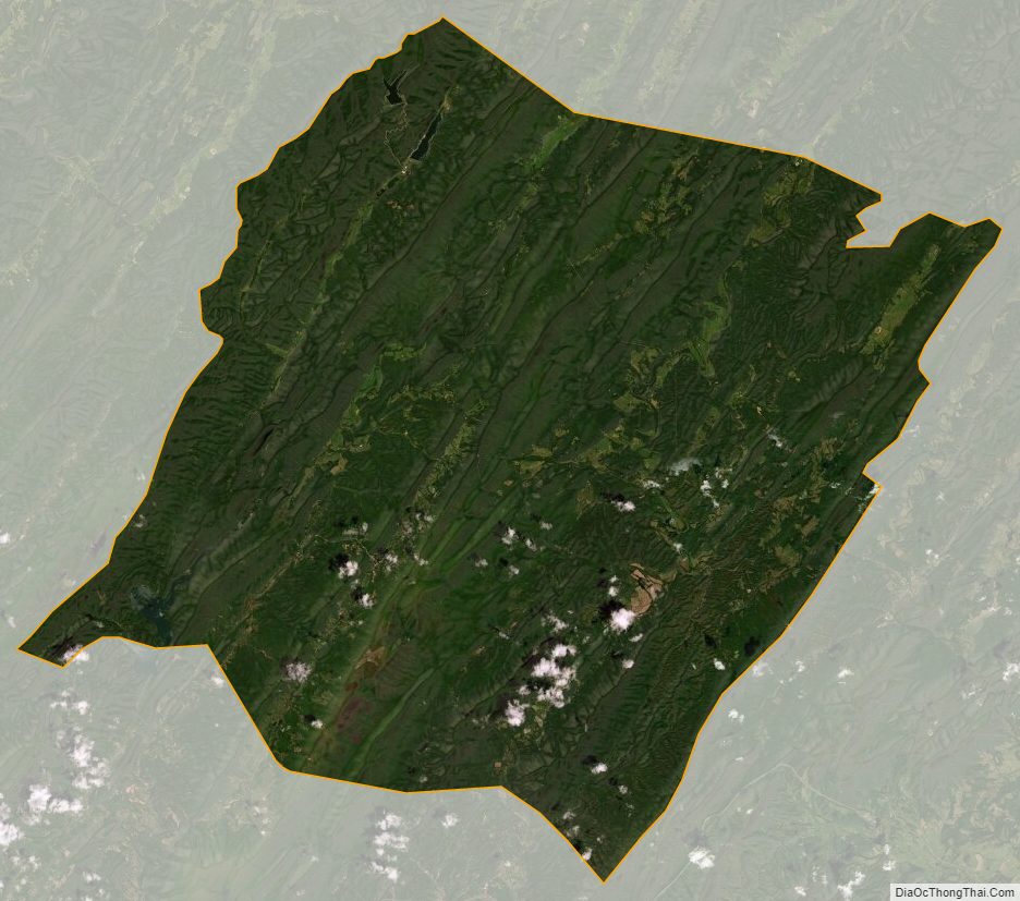
According to the U.S. Census Bureau, the county has a total area of 535 square miles (1,390 km), of which 529 square miles (1,370 km) are land and 5 square miles (13 km) (1.0%) are water. 89% of Bath County is forest, with 51% in George Washington National Forest and 6% in Douthat State Park.
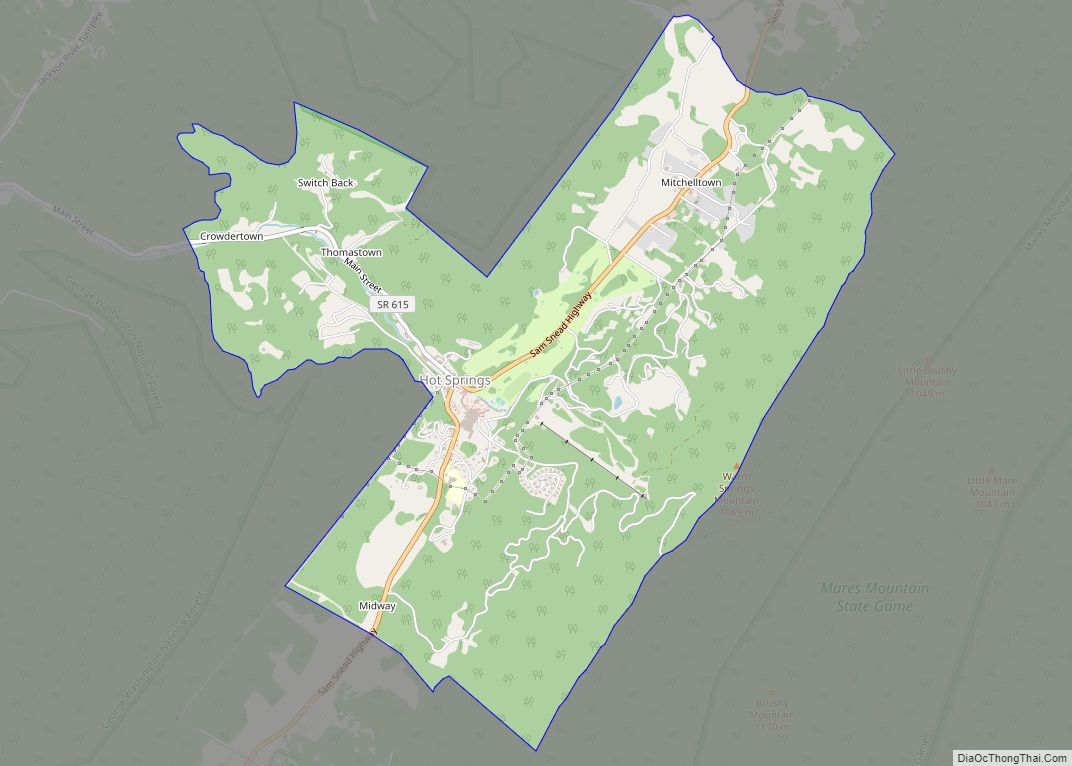
Located along the western central border with West Virginia, Bath County contains a number of villages, including Hot Springs, Warm Springs, Millboro and Mountain Grove. Hot Springs and Warm Springs are the most well known of the villages, given their natural mineral springs. Bath County is the only county in Virginia without a traffic signal.
Adjacent counties
- Highland County – north
- Augusta County – northeast
- Rockbridge County – east
- Alleghany County – south
- Greenbrier County, West Virginia – southwest
- Pocahontas County, West Virginia – west
National protected areas
- George Washington National Forest (part)
- United States National Radio Quiet Zone (part)
Major highways
- US 220
- SR 39
- SR 42
Bath County Topographic Map
Bath County Satellite Map
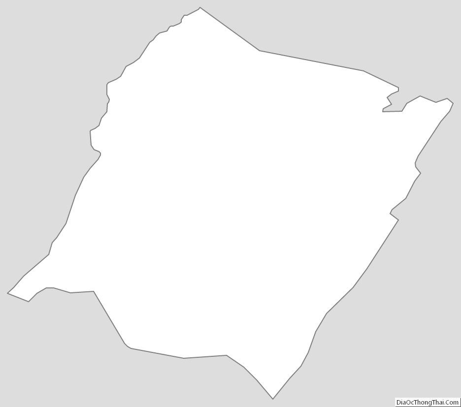
Bath County Outline Map