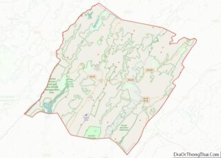
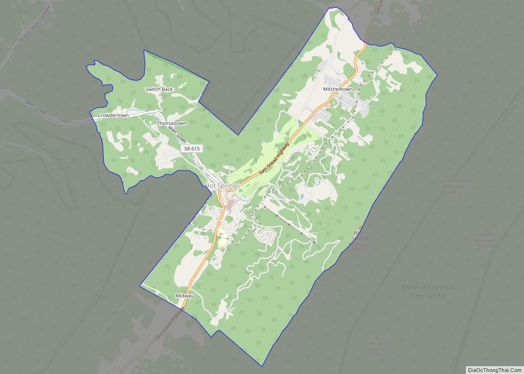
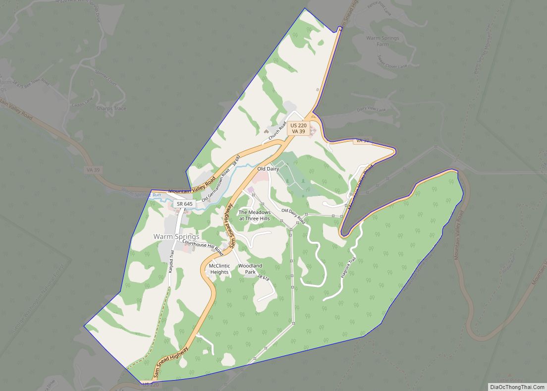
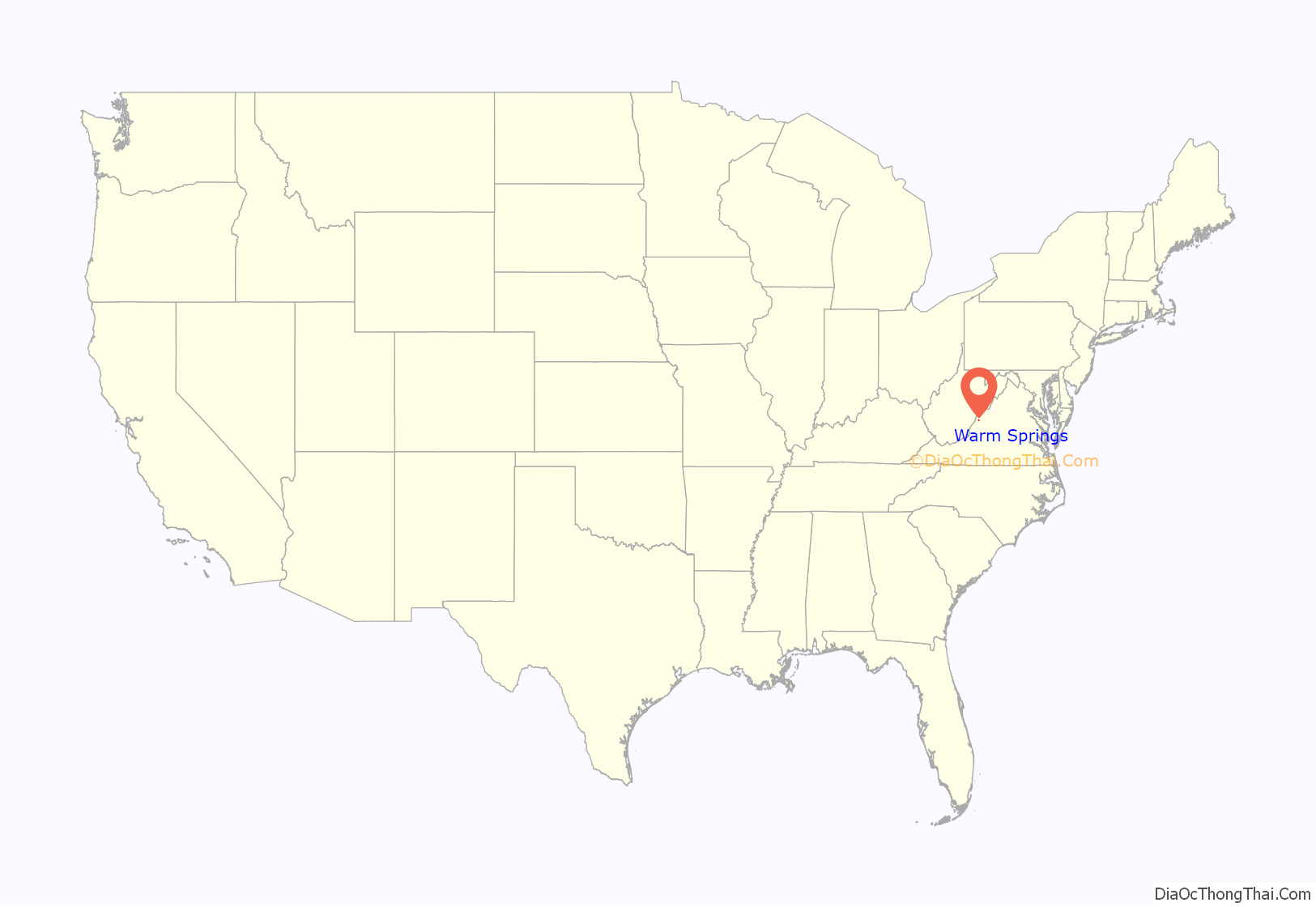
Warm Springs is a census-designated place (CDP) in and the county seat of Bath County, Virginia, United States. The population as of the 2010 census was 123. It lies along U.S. Route 220 near the center of the county. Warm Springs includes the historical mill town called Germantown. To the west lies West Warm Springs.
| Name: | Warm Springs CDP |
|---|---|
| LSAD Code: | 57 |
| LSAD Description: | CDP (suffix) |
| State: | Virginia |
| County: | Bath County |
| Elevation: | 2,270 ft (690 m) |
| Total Area: | 123 |
| ZIP code: | 24484 |
| FIPS code: | 5183088 |
Online Interactive Map
Click on ![]() to view map in "full screen" mode.
to view map in "full screen" mode.
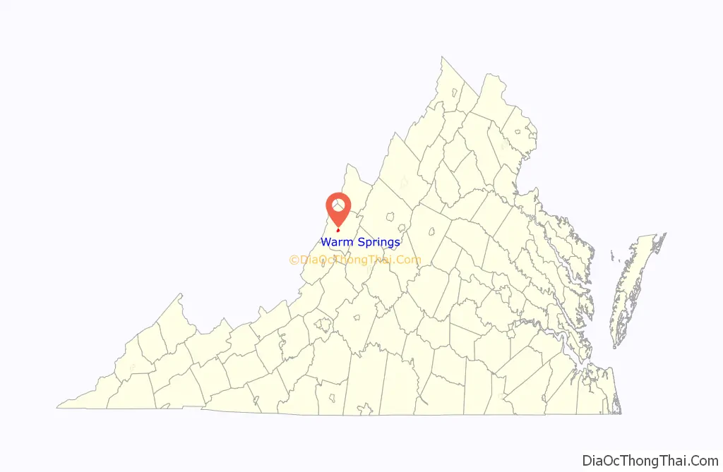
Warm Springs location map. Where is Warm Springs CDP?
History
The community grew up around the courthouse and the nearby Jefferson Pools. The Bath County Health Department, Sheriff’s Department, and other county offices are located adjacent to the courthouse. The Warm Springs Post Office handles mail for the 24484 zip code. Other notable landmarks in Warm Springs are the Bath County Historical Society and the Waterwheel Restaurant, which is located inside of a converted mill. Warm Springs Gallery, located just downhill from the courthouse, specializes in contemporary fine art. Apart from these landmarks, Warm Springs is primarily residential in character, with many renovated inns and historic homes which serve as accommodation for out-of-town visitors. The Cowpasture River to the east across Warm Springs Mountain draws visitors for fishing and kayaking.
Bath County is fairly unusual in Virginia in that it contains no incorporated towns. Nearby Hot Springs is perhaps more well-known than Warm Springs, though the two are separated by only a few miles.
Jefferson Pools, Hidden Valley Rock Shelter (44BA31), Homestead Dairy Barns, Oakley Farm, and Three Hills are listed on the National Register of Historic Places.
Warm Springs Road Map
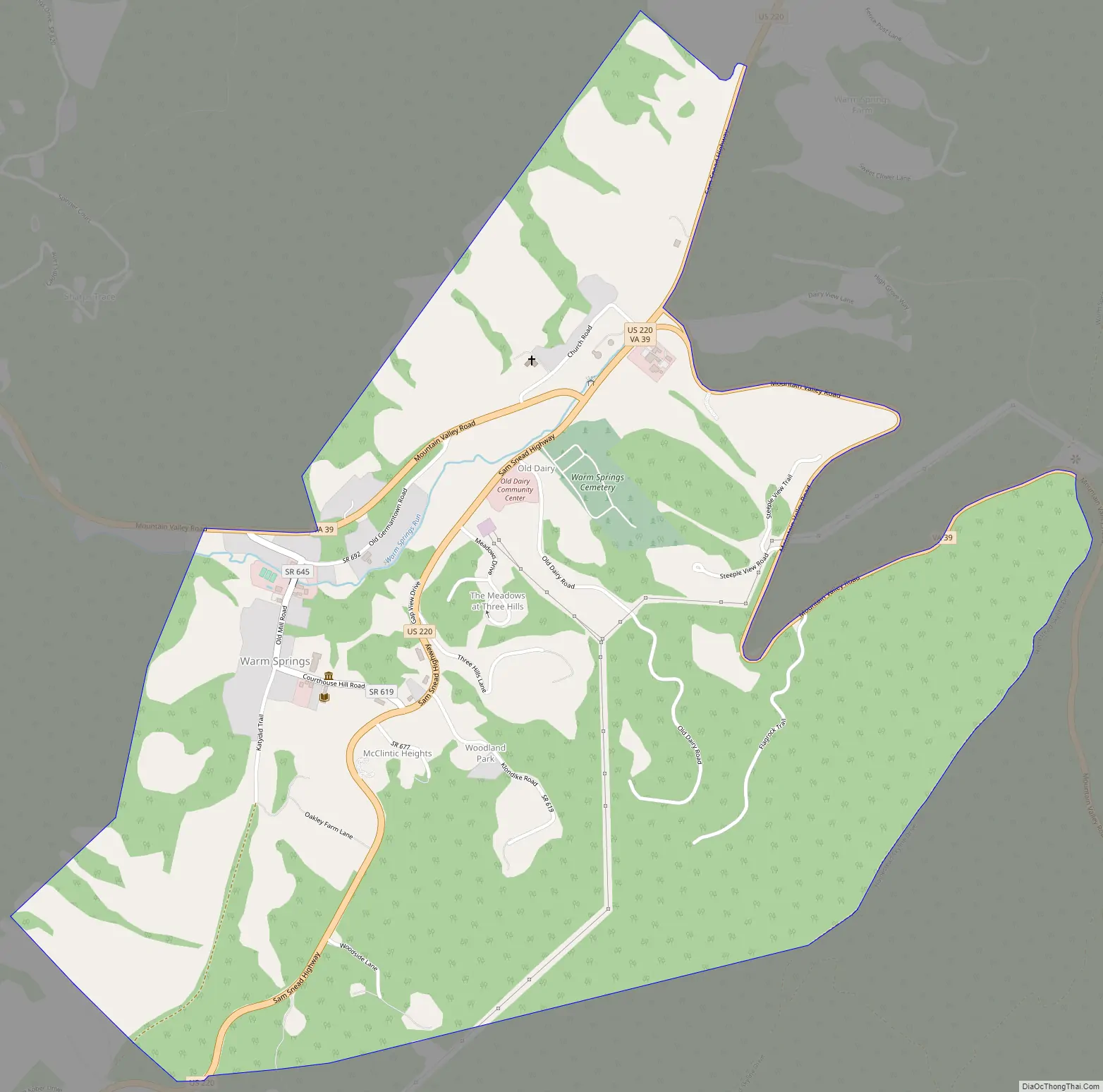
Warm Springs city Satellite Map

See also
Map of Virginia State and its subdivision:- Accomack
- Albemarle
- Alexandria
- Alleghany
- Amelia
- Amherst
- Appomattox
- Arlington
- Augusta
- Bath
- Bedford
- Bedford City
- Bland
- Botetourt
- Bristol
- Brunswick
- Buchanan
- Buckingham
- Buena Vista
- Campbell
- Caroline
- Carroll
- Charles City
- Charlotte
- Charlottesville
- Chesapeake
- Chesterfield
- Clarke
- Clifton Forge City
- Colonial Heights
- Covington
- Craig
- Culpeper
- Cumberland
- Danville
- Dickenson
- Dinwiddie
- Emporia
- Essex
- Fairfax
- Fairfax City
- Falls Church
- Fauquier
- Floyd
- Fluvanna
- Franklin
- Frederick
- Fredericksburg
- Galax
- Giles
- Gloucester
- Goochland
- Grayson
- Greene
- Greensville
- Halifax
- Hampton
- Hanover
- Harrisonburg
- Henrico
- Henry
- Highland
- Hopewell
- Isle of Wight
- James City
- King and Queen
- King George
- King William
- Lancaster
- Lee
- Lexington
- Loudoun
- Louisa
- Lunenburg
- Lynchburg
- Madison
- Manassas
- Manassas Park
- Martinsville
- Mathews
- Mecklenburg
- Middlesex
- Montgomery
- Nelson
- New Kent
- Newport News
- Norfolk
- Northampton
- Northumberland
- Norton
- Nottoway
- Orange
- Page
- Patrick
- Petersburg
- Pittsylvania
- Poquoson
- Portsmouth
- Powhatan
- Prince Edward
- Prince George
- Prince William
- Pulaski
- Radford
- Rappahannock
- Richmond
- Roanoke
- Roanoke City
- Rockbridge
- Rockingham
- Russell
- Salem
- Scott
- Shenandoah
- Smyth
- Southampton
- Spotsylvania
- Stafford
- Staunton
- Suffolk
- Surry
- Sussex
- Tazewell
- Virginia Beach
- Warren
- Washington
- Waynesboro
- Westmoreland
- Williamsburg
- Winchester
- Wise
- Wythe
- York
- Alabama
- Alaska
- Arizona
- Arkansas
- California
- Colorado
- Connecticut
- Delaware
- District of Columbia
- Florida
- Georgia
- Hawaii
- Idaho
- Illinois
- Indiana
- Iowa
- Kansas
- Kentucky
- Louisiana
- Maine
- Maryland
- Massachusetts
- Michigan
- Minnesota
- Mississippi
- Missouri
- Montana
- Nebraska
- Nevada
- New Hampshire
- New Jersey
- New Mexico
- New York
- North Carolina
- North Dakota
- Ohio
- Oklahoma
- Oregon
- Pennsylvania
- Rhode Island
- South Carolina
- South Dakota
- Tennessee
- Texas
- Utah
- Vermont
- Virginia
- Washington
- West Virginia
- Wisconsin
- Wyoming