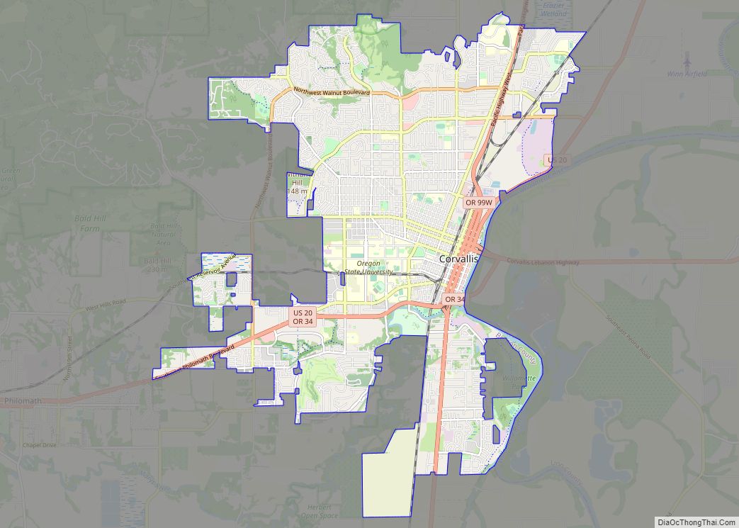
Corvallis (/kɔːrˈvælɪs/ kor-VAL-iss) is a city and the county seat of Benton County in central western Oregon, United States. It is the principal city of the Corvallis, Oregon Metropolitan Statistical Area, which encompasses all of Benton County. As of the 2020 United States Census, the population was 59,922. Corvallis is the location of Oregon State University and Good Samaritan Regional Medical Center. Corvallis is the westernmost city in the contiguous 48 states with a population larger than 50,000.
| Name: | Corvallis city |
|---|---|
| LSAD Code: | 25 |
| LSAD Description: | city (suffix) |
| State: | Oregon |
| County: | Benton County |
| Elevation: | 235 ft (72 m) |
| Land Area: | 14.46 sq mi (37.46 km²) |
| Water Area: | 0.13 sq mi (0.33 km²) |
| Population Density: | 4,143.12/sq mi (1,599.64/km²) |
| ZIP code: | 97330-97331, 97333, 97339 |
| FIPS code: | 4115800 |
| GNISfeature ID: | 1140162 |
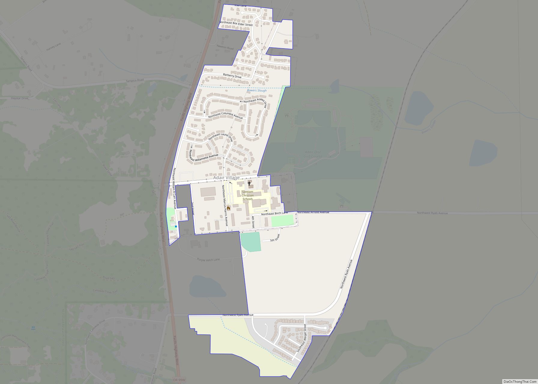
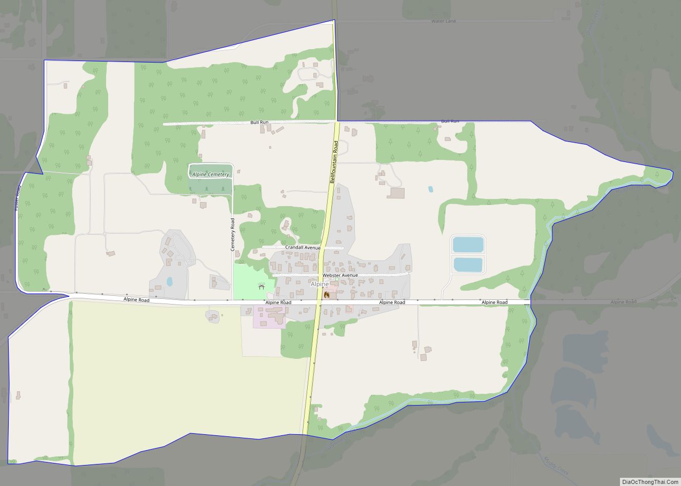
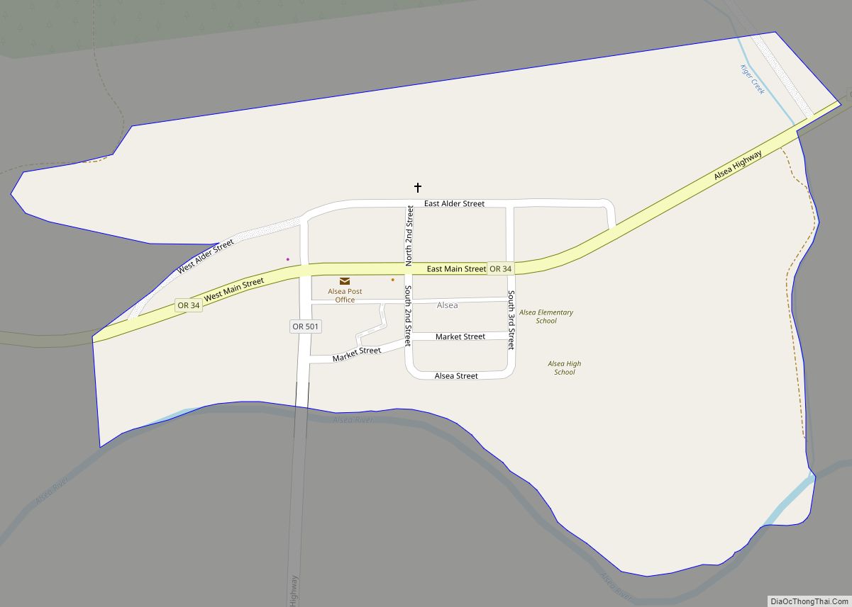
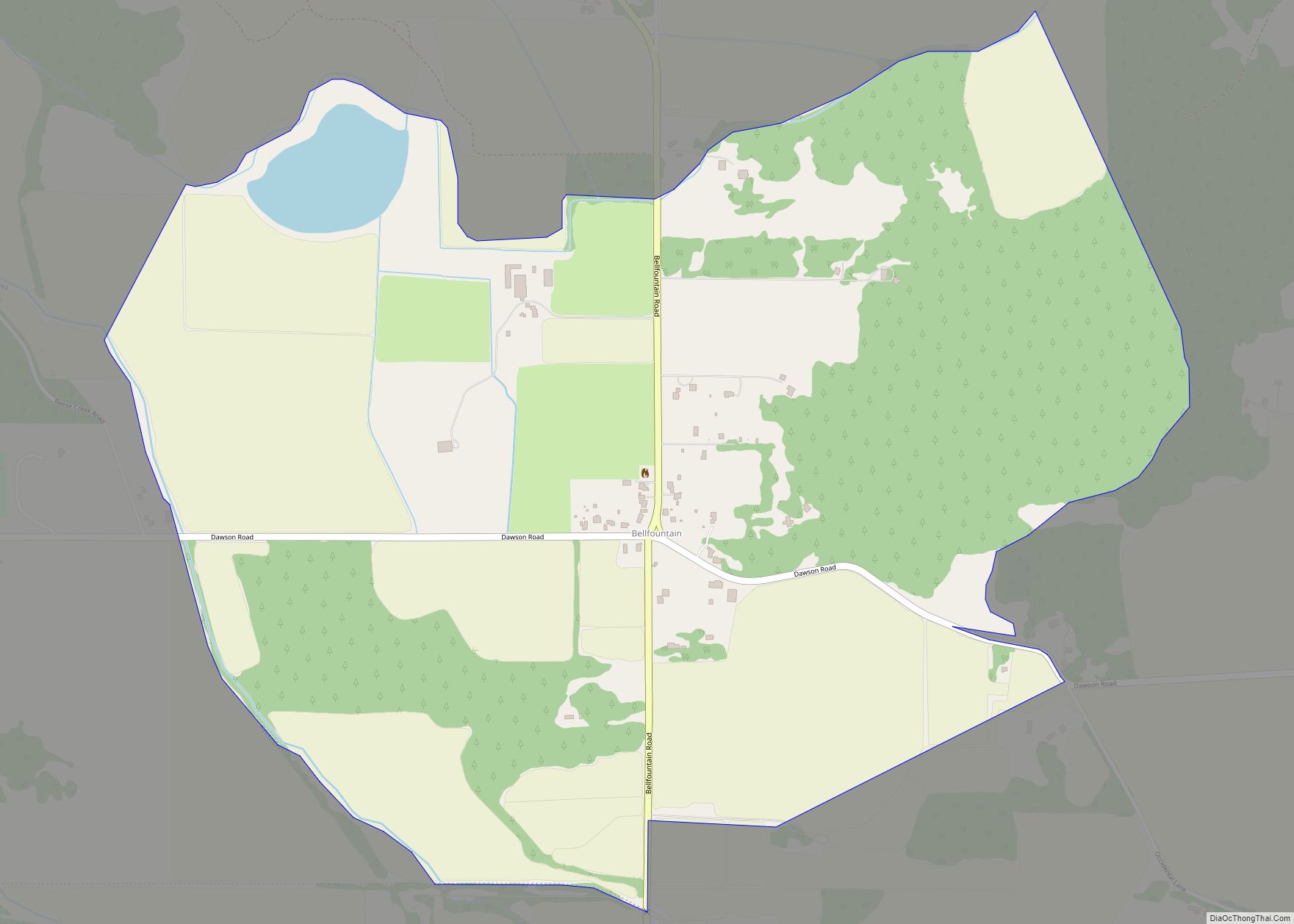
Online Interactive Map
Click on ![]() to view map in "full screen" mode.
to view map in "full screen" mode.
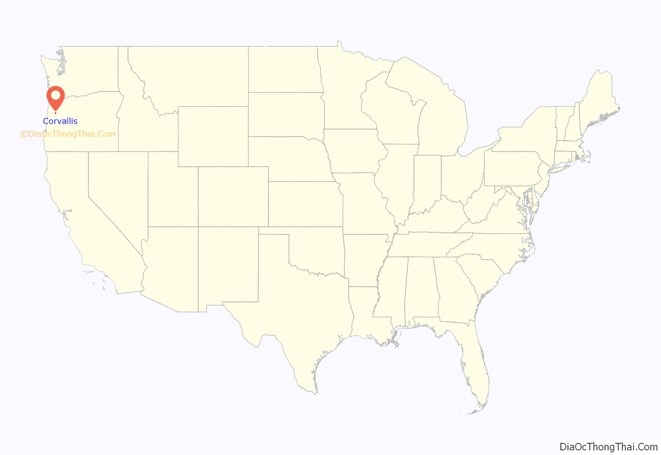
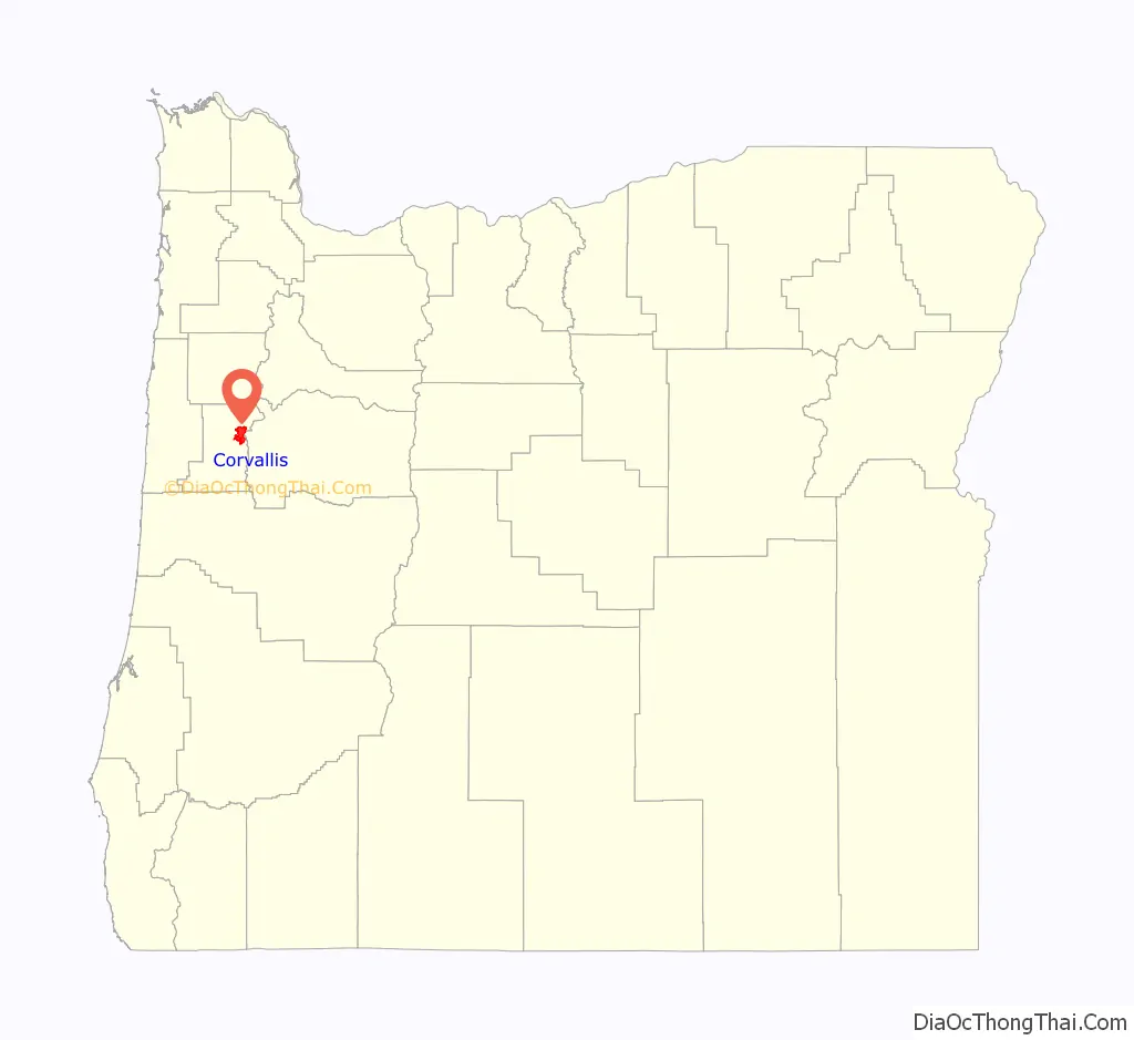
Corvallis location map. Where is Corvallis city?
History
Establishment
In October 1845, Joseph C. Avery arrived in Oregon from the east. Avery took out a land claim at the mouth of Marys River, where it flows into the Willamette River, and in June 1846 took up residence there in a log cabin hastily constructed to hold what seemed a potentially lucrative claim. Avery’s primitive 1846 dwelling was the first home within the boundaries of today’s Corvallis and his land claim included the southern section of the contemporary city.
Avery was quickly joined by other settlers along the banks of the Willamette River, including a 640-acre (260 ha) claim directly to his north taken in September 1846 by William F. Dixon. The discovery of gold in California in 1848 temporarily stalled development of a township, with Avery leaving his Oregon claim to try his hand at mining in the fall of that year. His stay proved to be brief, and in January 1849, Avery returned to Oregon with a small stock of provisions with a view to opening a store.
During 1849, Avery opened his store at the site, platted the land, and surveyed a town site on his land claim, naming the community Marysville. The city was possibly named after early settler Mary Lloyd, but now the name is thought to be derived from French fur trappers’ naming of Marys Peak after the Virgin Mary.
In the summer of 1851, Joseph Avery and William Dixon each granted back-to-back 40-acre (16 ha) land parcels from their land holdings for the establishment of a county seat. Avery’s holding lay to the south and Dixon’s to the north, with the Benton County Courthouse marking the approximate line of demarcation between these two land parcels.
Name change
In December 1853 the 5th Oregon Territorial Legislature met in Salem, where a petition was presented seeking to change the name of that city to either “Thurston” or “Valena”. At the same time, another petition was presented seeking to change the name of Salem to “Corvallis”, from the Latin meaning “heart of the valley”, while a third resolution was presented to the upper house seeking to change the name of Marysville to Corvallis.
A heated debate followed, with the name ultimately awarded to Corvallis in an act passed on December 20 of that same year. By way of rationale, the name “Marysville” was successfully argued to duplicate the moniker of a town in California, located on the same stagecoach route and that a name change was thus necessary to avoid confusion.
Incorporation
A faction within the deeply divided legislature sought to make Corvallis the capital of the Oregon Territory, and in December 1855 the 6th Territorial Legislature initially convened there before returning to Salem later that month—the town which would eventually be selected as the permanent seat of state government.
Corvallis was incorporated as a city on January 29, 1857.
19th-century growth
Corvallis had a three-year boom beginning in 1889, which began with the establishment of a privately owned electrical plant by L.L. Hurd. A flurry of publicity and public and private investment followed, including construction of a grand county courthouse, planning and first construction of a new street railway, construction of a new flour mill along the river between Monroe and Jackson Avenues, and construction of the Hotel Corvallis, today known as the Julian Hotel.
In addition, a carriage factory was launched in the city and the town’s streets were improved, while the size of the city was twice enlarged through annexation. Bonds were issued for a city-owned water works, a sewer system, and for public ownership of the electric plant. A publicity campaign was launched to attempt to expand the tax base through new construction for new arrivals. This effort proved mostly unsuccessful, however, and in 1892, normality returned, with the city saddled with about $150,000 in bonded debt.
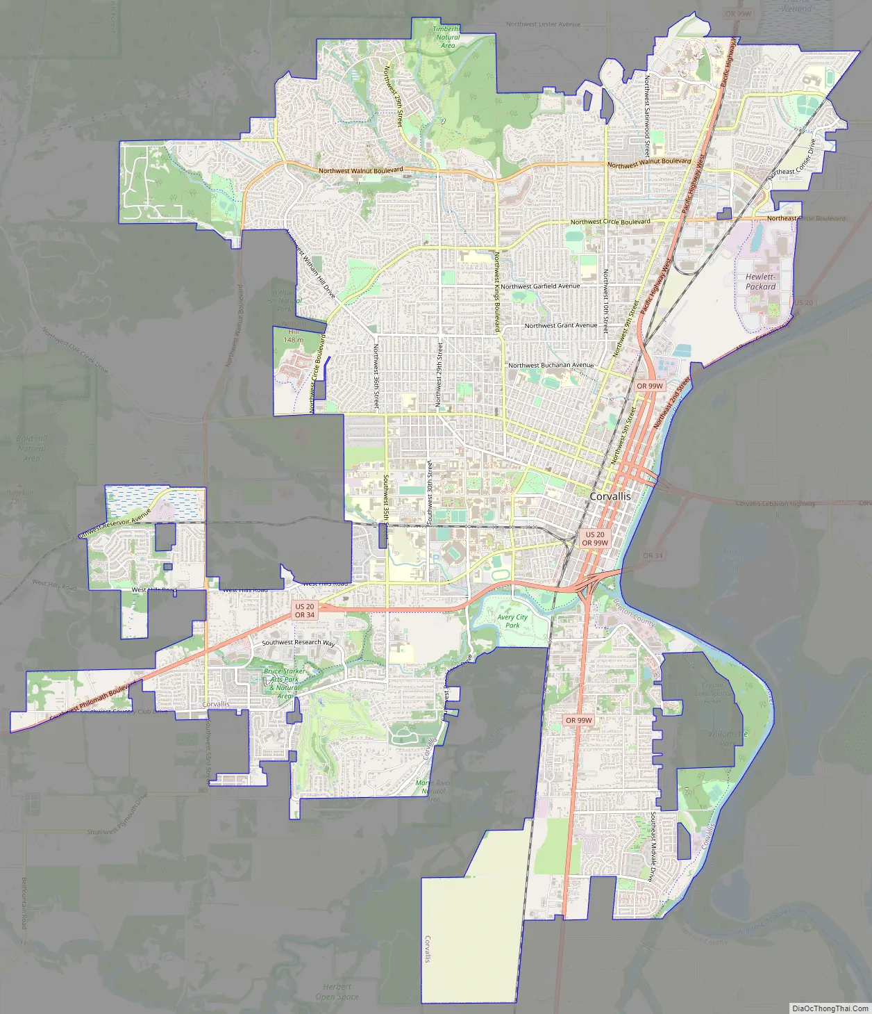
Corvallis Road Map
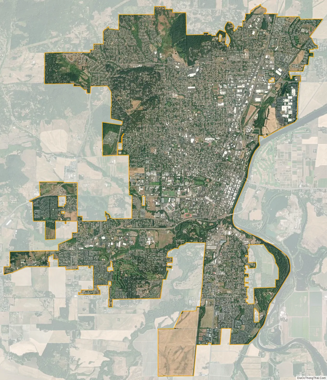
Corvallis city Satellite Map
Geography
Corvallis is at river mile 131–32 of the Willamette River. Corvallis is bordered on the northwest by the foothills of the Oregon Coast Range, with Bald Hill providing a view of the town.
According to the United States Census Bureau, the city has a total area of 14.30 square miles (37.04 km), of which 14.13 square miles (36.60 km) are land and 0.17 square miles (0.44 km) is covered by water.
Climate
Like the rest of the Willamette Valley, Corvallis lies in the Marine West Coast climate zone, with Mediterranean characteristics. Under the Köppen climate classification scheme, Corvallis has a warm-summer Mediterranean climate (Köppen: Csb). Temperatures are mild year round, with warm, dry, sunny summers and mild, wet winters with persistently overcast skies. Spring and fall are also moist seasons with varied cloudiness, and light rain falling for extended periods.
Winter snow is rare, but occasionally does fall, and amounts can range between a dusting and a few inches that do not persist on the ground for more than a day. The northwest hills will often experience more snow. During the midwinter months after extended periods of rain, thick, persistent fogs can form, sometimes lasting the entire day. This can severely reduce visibility to as low as 20 feet (6.1 m). The fog often persists until a new storm system enters the area. This fog could be seen as a type of tule fog.
Rainfall totals within the town itself are surprisingly variable, due to Corvallis lying right on the eastern edge of the Oregon Coast Range, with a small portion of the town inside of the range. Rainfall amounts can range from an average of 66.40 inches (1,687 mm) per year in the far northwest hills, compared to 43.66 inches (1,109 mm) per year at Oregon State University, which is located in the center of Corvallis.
Because of its close proximity to the coastal range, Corvallis can experience slightly cooler temperatures, particularly in the hills, than the rest of the Willamette Valley. The average annual low temperature is 42 °F or 5.6 °C, 4.2 °F (2.3 °C) less than that of Portland just 85 miles (137 km) to the north. Despite this, temperatures dropping far below freezing are still a rare event.
See also
Map of Oregon State and its subdivision: Map of other states:- Alabama
- Alaska
- Arizona
- Arkansas
- California
- Colorado
- Connecticut
- Delaware
- District of Columbia
- Florida
- Georgia
- Hawaii
- Idaho
- Illinois
- Indiana
- Iowa
- Kansas
- Kentucky
- Louisiana
- Maine
- Maryland
- Massachusetts
- Michigan
- Minnesota
- Mississippi
- Missouri
- Montana
- Nebraska
- Nevada
- New Hampshire
- New Jersey
- New Mexico
- New York
- North Carolina
- North Dakota
- Ohio
- Oklahoma
- Oregon
- Pennsylvania
- Rhode Island
- South Carolina
- South Dakota
- Tennessee
- Texas
- Utah
- Vermont
- Virginia
- Washington
- West Virginia
- Wisconsin
- Wyoming