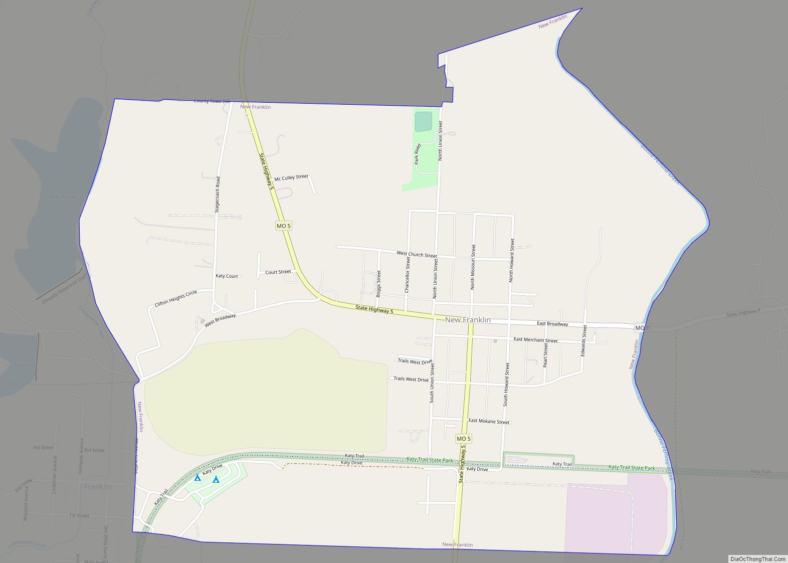
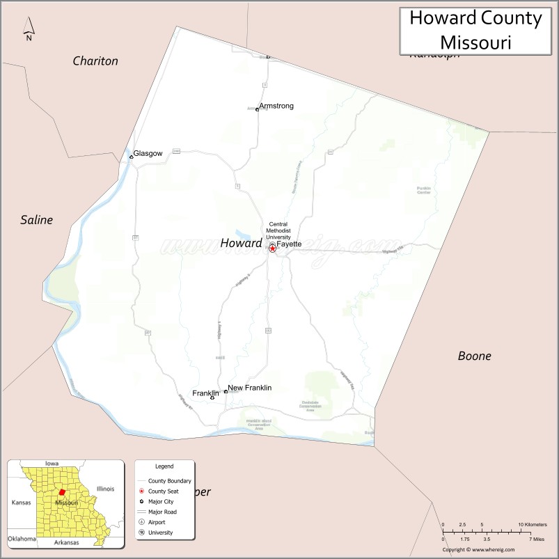
Howard County is located in the U.S. state of Missouri, with its southern border formed by the Missouri River. As of the 2020 census, the population was 10,151. Its county seat is Fayette. The county was organized January 23, 1816, and named for Benjamin Howard, the first Governor of the Missouri Territory. Settled originally by migrants from the Upper South, it is part of the region historically known as Little Dixie. It is part of the Columbia, Missouri, metropolitan area.
| Name: | Howard County |
|---|---|
| FIPS code: | 29-089 |
| State: | Missouri |
| Founded: | January 23, 1816 |
| Named for: | Benjamin Howard |
| Seat: | Fayette |
| Largest city: | Fayette |
| Total Area: | 472 sq mi (1,220 km²) |
| Land Area: | 464 sq mi (1,200 km²) |
| Total Population: | 10,151 |
| Population Density: | 22/sq mi (8.3/km²) |
| Time zone: | UTC−6 (Central) |
| Summer Time Zone (DST): | UTC−5 (CDT) |
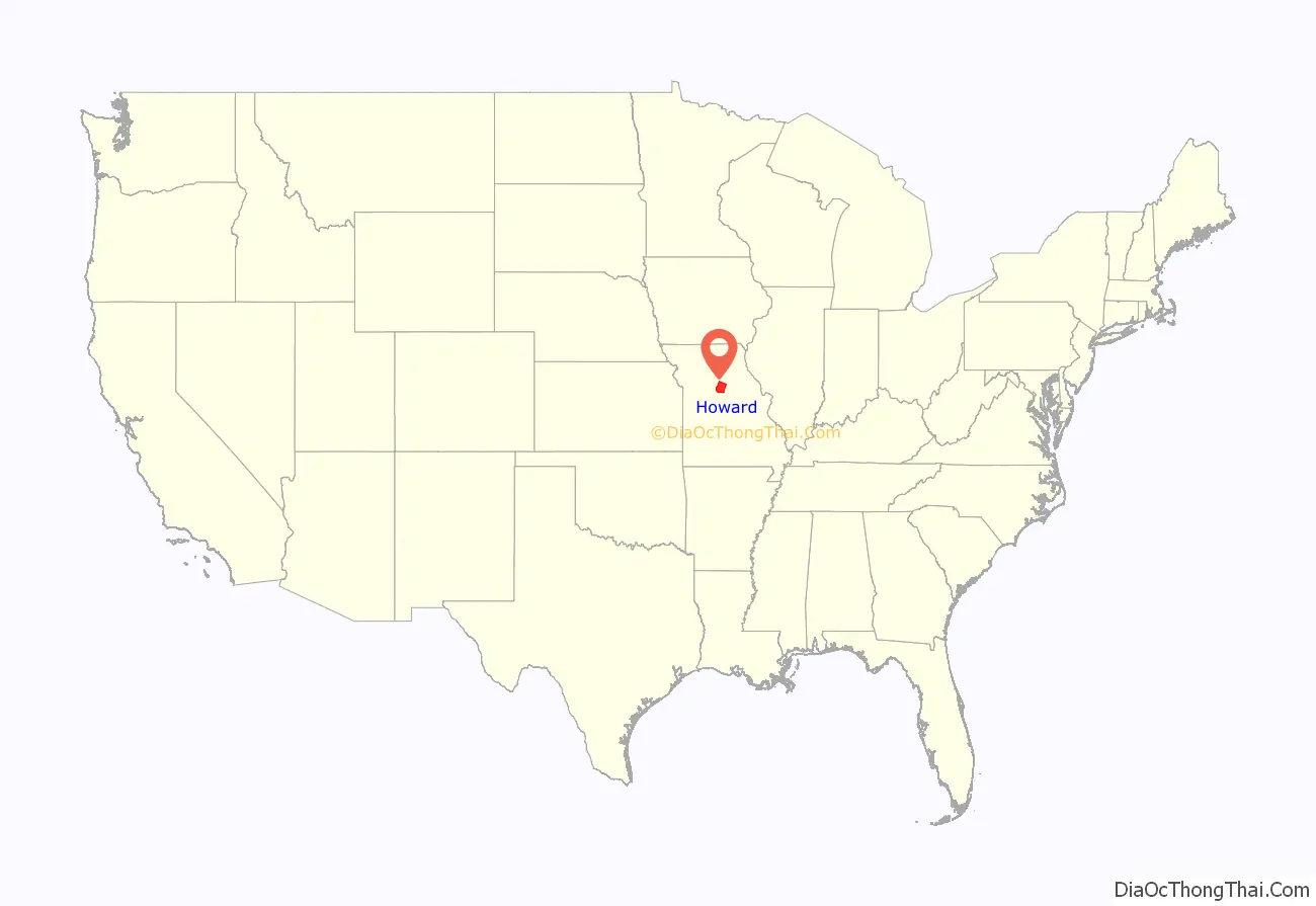
Howard County location map. Where is Howard County?
History
Located on the north bank of the Missouri River, Howard County was settled primarily from the Upper Southern states of Kentucky, Tennessee and Virginia. The migrants brought slaves and slaveholding traditions with them, and cultivated hemp and tobacco, crops of Middle Tennessee. Howard was one of several counties settled mainly by Southerners along the Missouri River in the center of the state. Because of this, this area became known as Little Dixie, and Howard County was at its heart. Following the 1848 revolutions in the German nations, many German immigrants also came to this region, developing farms.
Due to the reliance on slave labor, by 1860 African-American slaves composed at least 25 percent of the county’s population. Given their backgrounds and cultural affiliations, many Howard County residents supported the Confederacy during the Civil War. Ethnic German immigrants and descendants tended to support the Union.
After the end of Reconstruction, whites enforced Jim Crow laws and racial segregation in the county to maintain white supremacy. In the most violent period, at the turn of the 20th century, five African Americans were lynched in Howard County from 1891 to 1914: Olli Truxton, Frank Embree, Thomas Hayden, Arthur McNeal, and Dallas Shields. Howard County tied with Pike County for the highest rate of lynchings in the state.
The county continued to be developed for agriculture and is still largely rural. However, Howard County has lost population since its peak in 1880. The mechanization of farming reduced the demand for labor, and many workers left for jobs in the cities and less oppressive societies. By 2000 African Americans in the county had declined to less than seven percent of the total. In the early 21st century, nearly one-third of the residents identify as being of German ancestry, reflecting the wave of mid-19th century immigration.
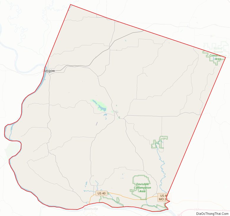
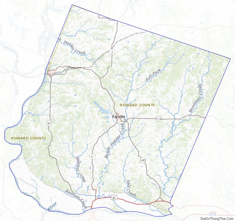
Howard County Road Map
Geography
According to the U.S. Census Bureau, the county has a total area of 472 square miles (1,220 km), of which 464 square miles (1,200 km) is land and 7.7 square miles (20 km) (1.6%) is water.
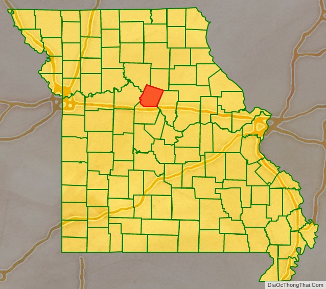
Adjacent counties
- Chariton County (northwest)
- Randolph County (northeast)
- Boone County (southeast)
- Cooper County (south)
- Saline County (west)
Major highways
- U.S. Route 40
- Route 3
- Route 5
- Route 87
- Route 124
- Route 240
Route 240 Alternate
Route 240 Business
Route 240 Spur
National protected area
- Big Muddy National Fish and Wildlife Refuge (part)
Howard County Topographic Map
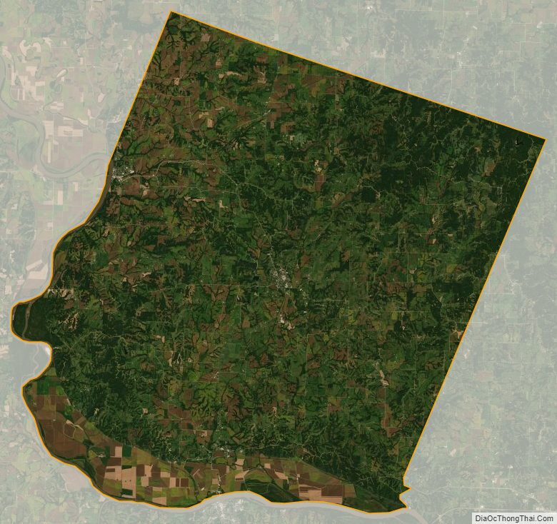
Howard County Satellite Map
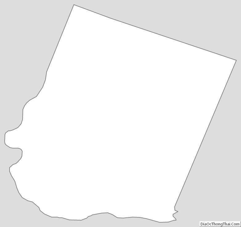
Howard County Outline Map