Johnson City is a city in Washington, Carter, and Sullivan counties in the U.S. state of Tennessee, mostly in Washington County. As of the 2020 United States census, the population was 71,046, making it the eighth largest city in Tennessee. Johnson City is the principal city of the Johnson City Metropolitan Statistical Area, which consists of Carter, Unicoi, and Washington counties and had a population of 207,285 as of 2020. The MSA is also a component of the Johnson City–Kingsport–Bristol, Tennessee–Virginia Combined Statistical Area – commonly known as the “Tri-Cities” region. This CSA is the fifth-largest in Tennessee with a population of 514,899 as of 2020.
| Name: | Johnson City city |
|---|---|
| LSAD Code: | 25 |
| LSAD Description: | city (suffix) |
| State: | Tennessee |
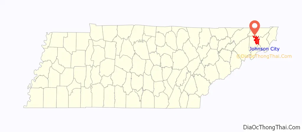
| County: | Carter County, Sullivan County, Washington County |
| Founded: | 1856 |
| Incorporated: | 1869 |
| Elevation: | 1,634 ft (498 m) |
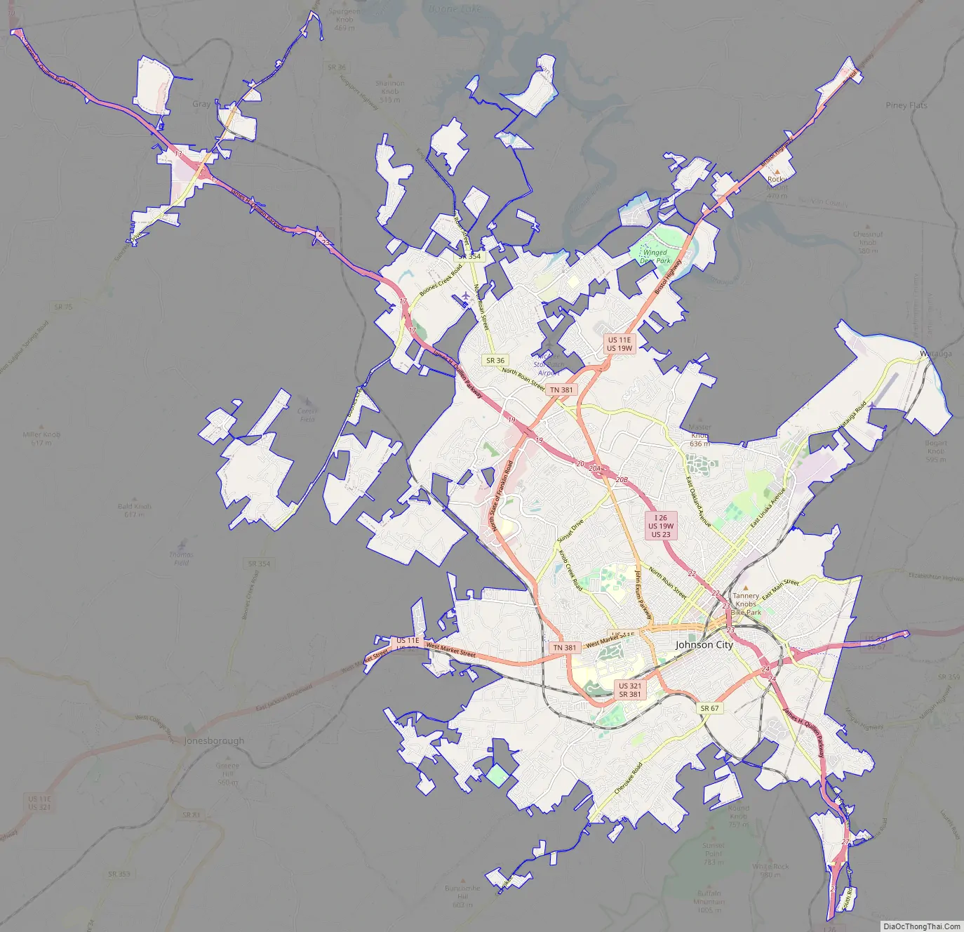
| Land Area: | 43.44 sq mi (112.52 km²) |
| Water Area: | 0.31 sq mi (0.80 km²) |
| Population Density: | 1,635.38/sq mi (631.42/km²) |
| ZIP code: | 37601-37604, 37614, 37615 & 37684 |
| Area code: | 423 |
| FIPS code: | 4738320 |
| GNISfeature ID: | 1328579 |
| Website: | www.johnsoncitytn.org |
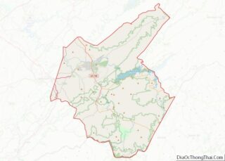
Online Interactive Map
Click on ![]() to view map in "full screen" mode.
to view map in "full screen" mode.
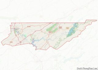
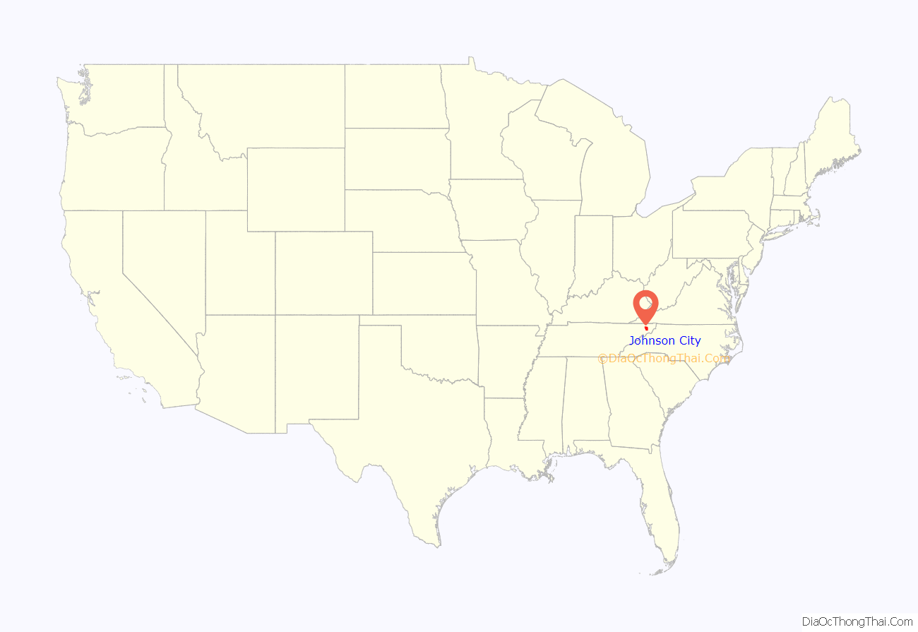
Johnson City location map. Where is Johnson City city?
History
William Bean, traditionally recognized as Tennessee’s first white settler, built his cabin along Boone’s Creek near Johnson City in 1769. In the 1780s, Colonel John Tipton (1730–1813) established a farm (now the Tipton-Haynes State Historic Site) just outside what is now Johnson City. During the State of Franklin movement, Tipton was a leader of the loyalist faction, residents of the region who wanted to remain part of North Carolina rather than form a separate state. In February 1788, an armed engagement took place at Tipton’s farm between Tipton and his men and the forces led by John Sevier, the leader of the Franklin faction.
Founded in 1856 by Henry Johnson as a railroad station called “Johnson’s Depot”, Johnson City became a major rail hub for the Southeast, as three railway lines crossed in the downtown area.
In the late 19th and early 20th centuries, Johnson City served as headquarters for the narrow gauge East Tennessee and Western North Carolina Railroad (the ET&WNC, nicknamed “Tweetsie”) and the standard gauge Clinchfield Railroad. Both rail systems featured excursion trips through scenic portions of the Blue Ridge Mountains and were engineering marvels of railway construction. The Southern Railway (now Norfolk Southern) also passes through the city.
During the American Civil War, before it was formally incorporated in 1869, the name of the town was briefly changed to “Haynesville” in honor of Confederate Senator Landon Carter Haynes.
Henry Johnson’s name was quickly restored following the war, with Johnson elected as the city’s first mayor on January 3, 1870. The town grew rapidly from 1870 until 1890 as railroad and mining interests flourished. However, the national depression of 1893, which caused many railway failures (including the Charleston, Cincinnati and Chicago Railroad or “3-Cs”, a predecessor of the Clinchfield) and resulting financial panic, halted Johnson City’s boom town momentum.
In 1901, the Mountain Branch of the National Home for Disabled Volunteer Soldiers (now the U.S. Veterans Affairs Medical Center and National Cemetery), Mountain Home, Tennessee was created by an act of Congress introduced by Walter P. Brownlow. Construction on this 450-acre (1.8 km) campus, which was designed to serve disabled Civil War veterans, was completed in 1903 at a cost of $3 million. Before the completion of this facility, the assessed value of the entire town was listed at $750,000. The East Tennessee State Normal School was authorized in 1911 and the new college campus directly across from the National Soldiers Home. Johnson City began growing rapidly and became the fifth-largest city in Tennessee by 1930.
Together with neighboring Bristol, Johnson City was a hotbed for old-time music. It hosted noteworthy Columbia Records recording sessions in 1928 known as the Johnson City Sessions. Native son “Fiddlin’ Charlie” Bowman became a national recording star via these sessions. The Fountain Square area in downtown featured a host of local and traveling street entertainers including Blind Lemon Jefferson.
During the 1920s and the Prohibition era, Johnson City’s ties to the bootlegging activity of the Appalachian Mountains earned the city the nickname of “Little Chicago”. Stories persist that the town was one of several distribution centers for Chicago gang boss Al Capone during Prohibition. Capone had a well-organized distribution network within the southern United States for alcohol smuggling; it shipped his products from the mountain distillers to northern cities. Capone was, according to local lore, a part-time resident of Montrose Court, a luxury apartment complex now listed on the National Register of Historic Places.
For many years, the city had a municipal “privilege tax” on carnival shows, in an attempt to dissuade traveling circuses and other transient entertainment businesses from doing business in town. The use of drums by merchants to draw attention to their goods is prohibited. Title Six, Section 106 of the city’s municipal code, the so-called “Barney Fife” ordinance, empowers the city’s police force to draft into involuntary service as many of the town’s citizens as necessary to aid police in making arrests and in preventing or quelling any riot, unlawful assembly or breach of peace.
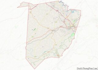
Johnson City Road Map
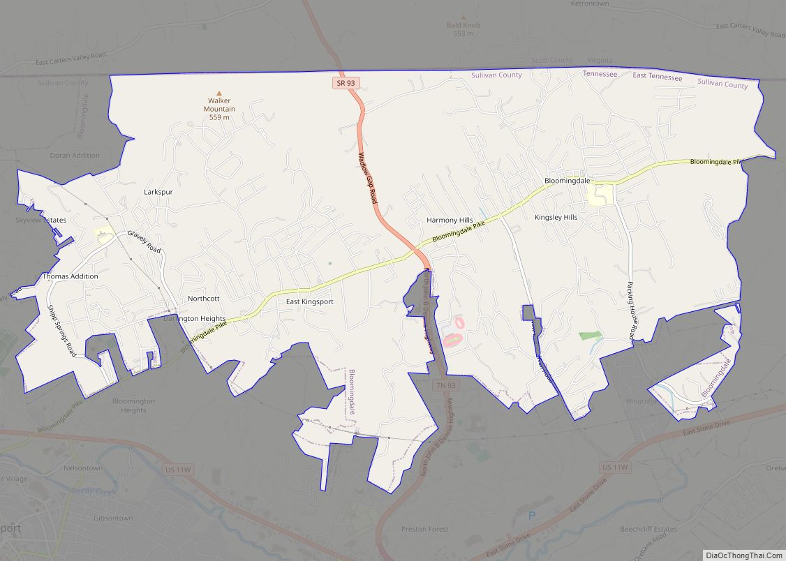
Johnson City city Satellite Map
Geography
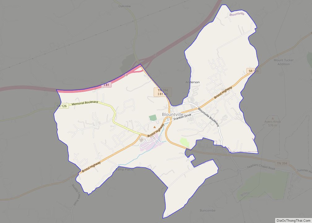
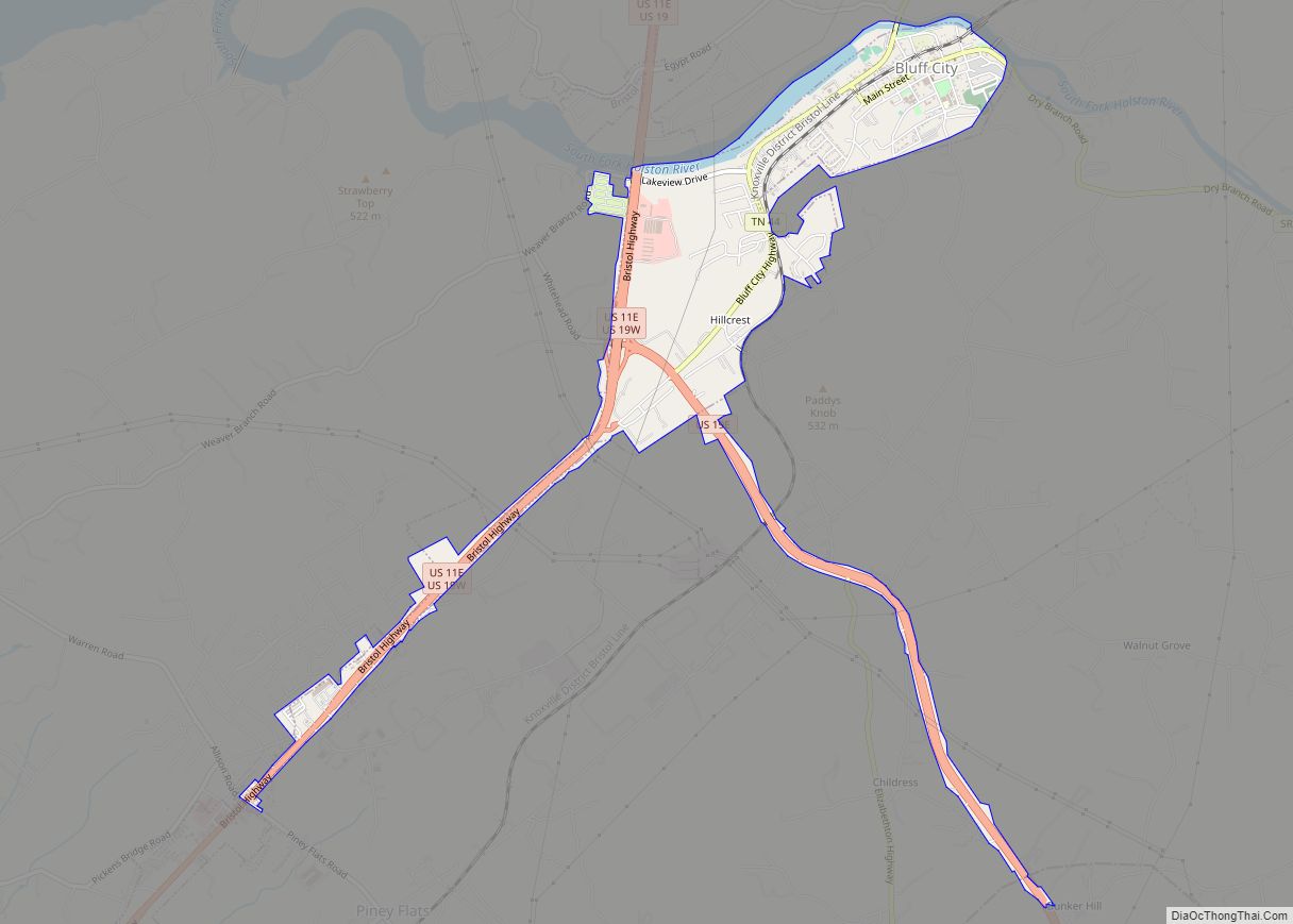
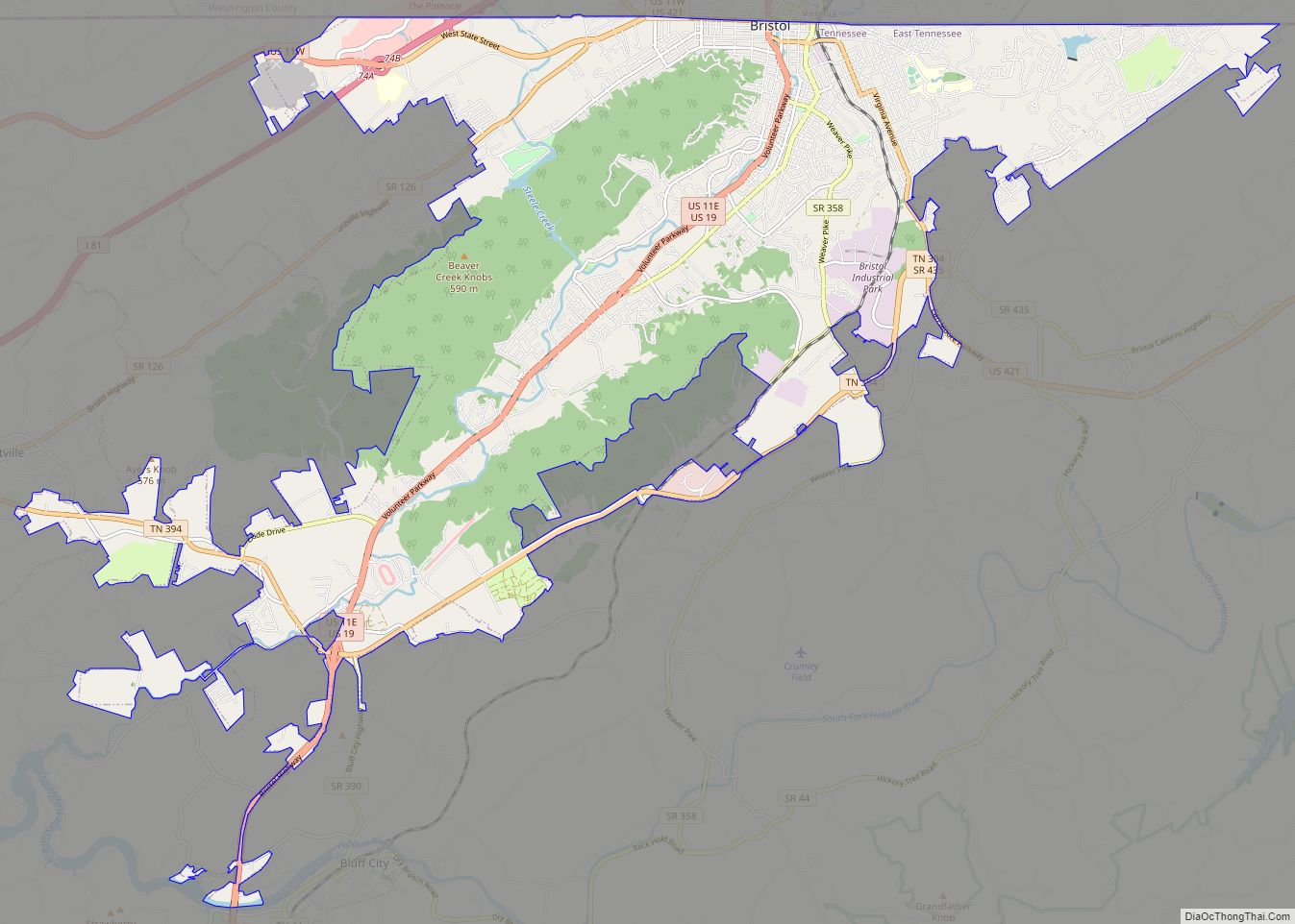
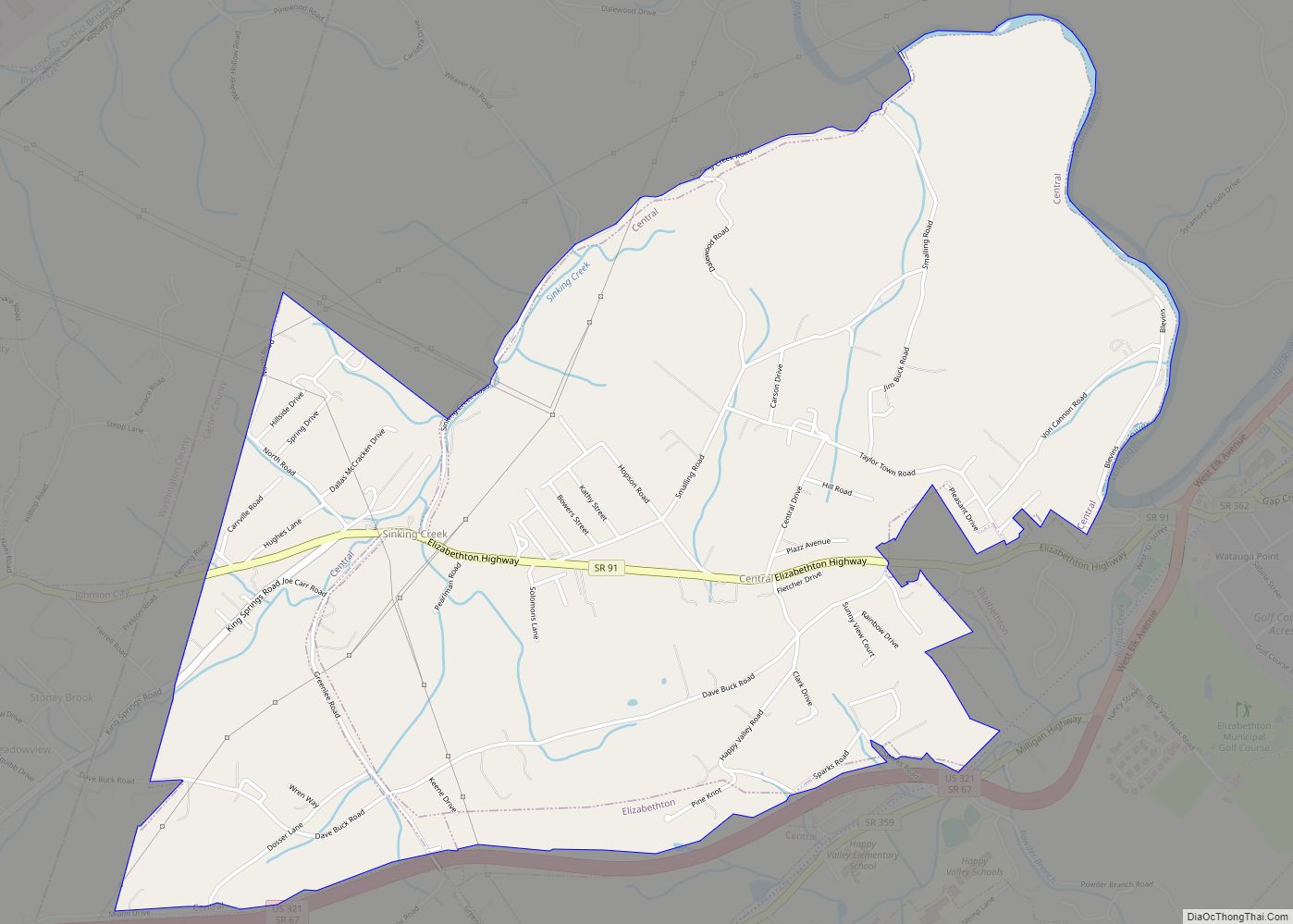
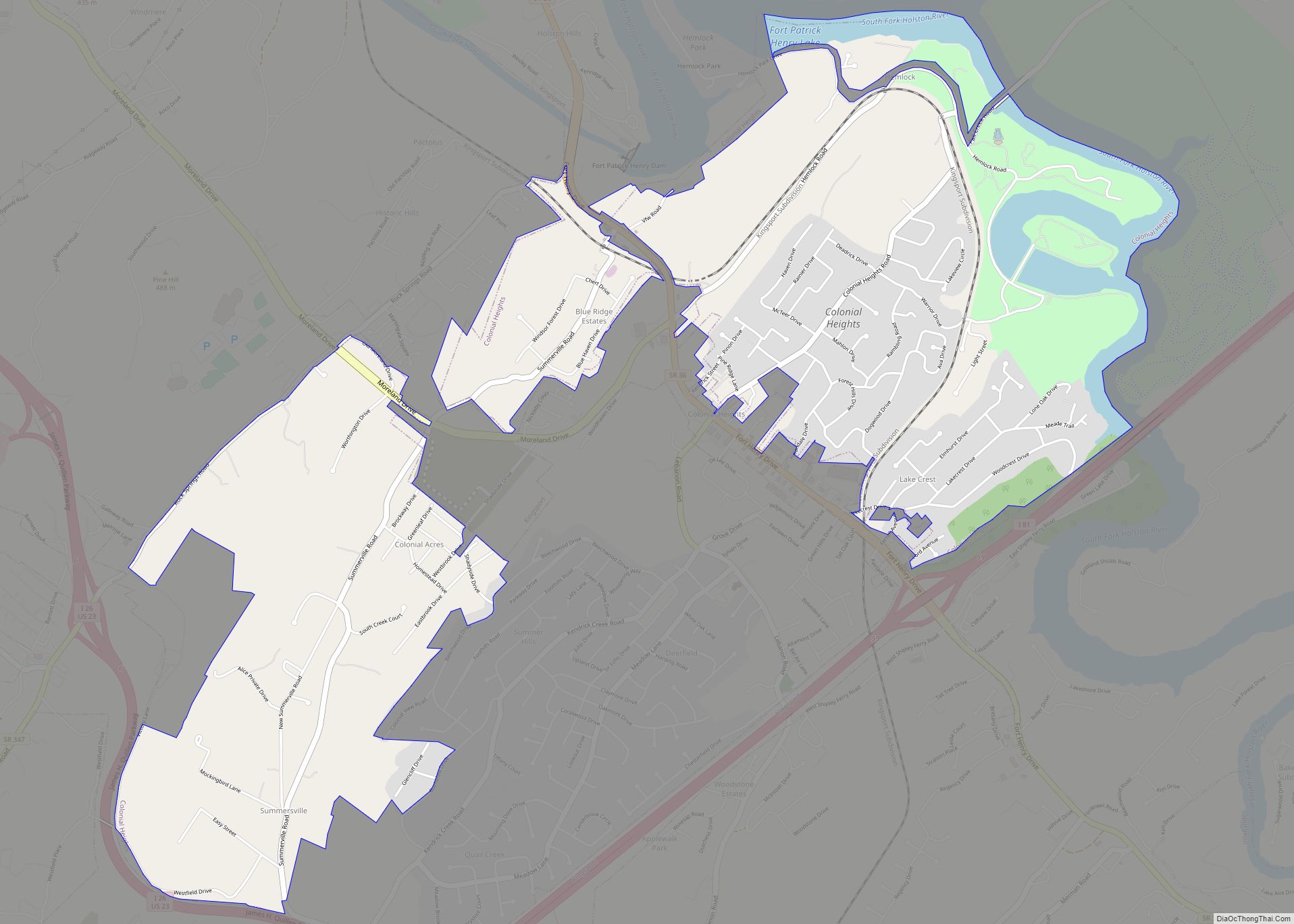
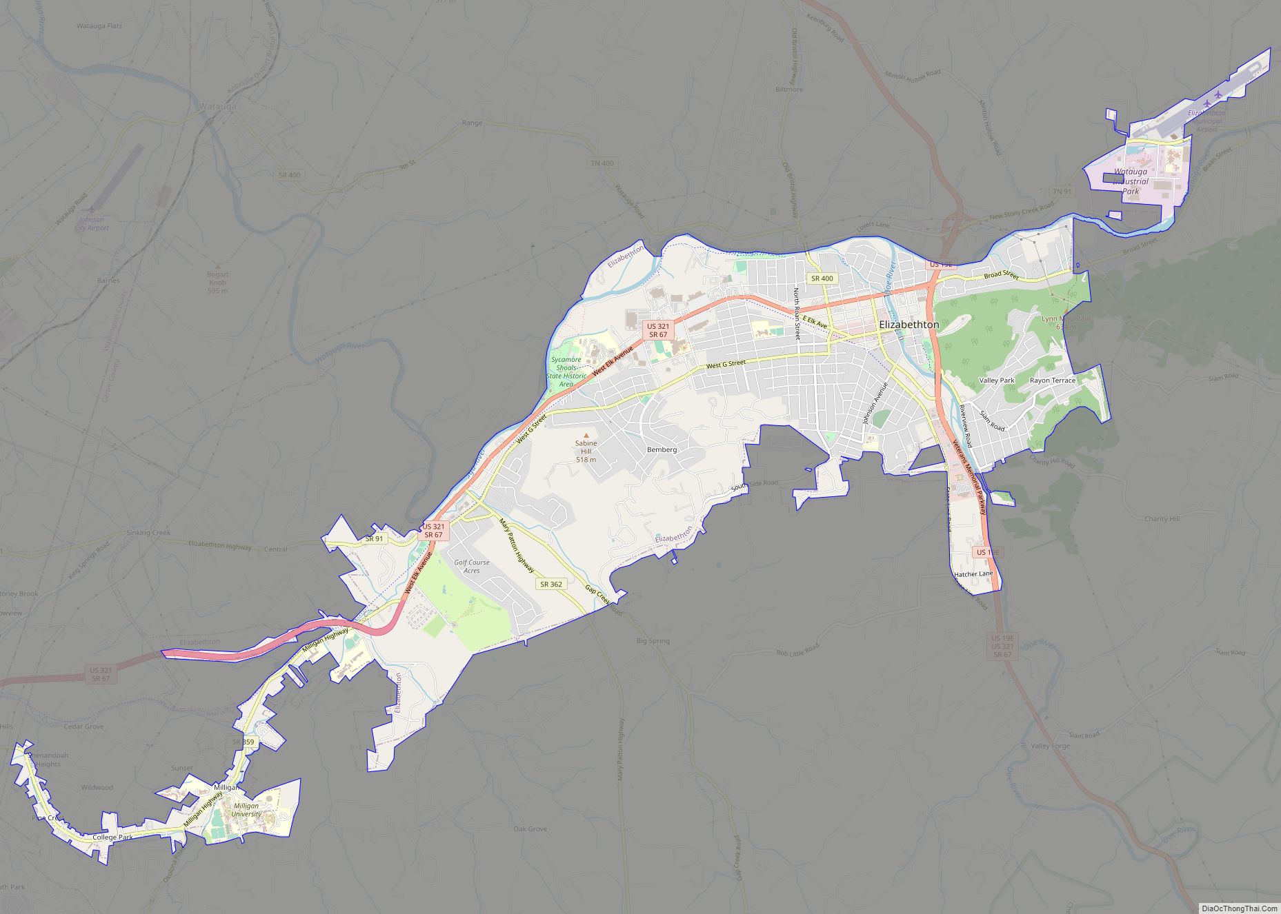
Johnson City is in northeastern Washington County at 36°20′N 82°22′W / 36.333°N 82.367°W / 36.333; -82.367 (36.3354, -82.3728), with smaller parts extending north into Sullivan County and east into Carter County. Johnson City shares a contiguous southeastern border with Elizabethton. Johnson City also shares a small contiguous border with Kingsport to the far north along I-26 and a slightly longer one with Bluff City to the northeast along US 11E.
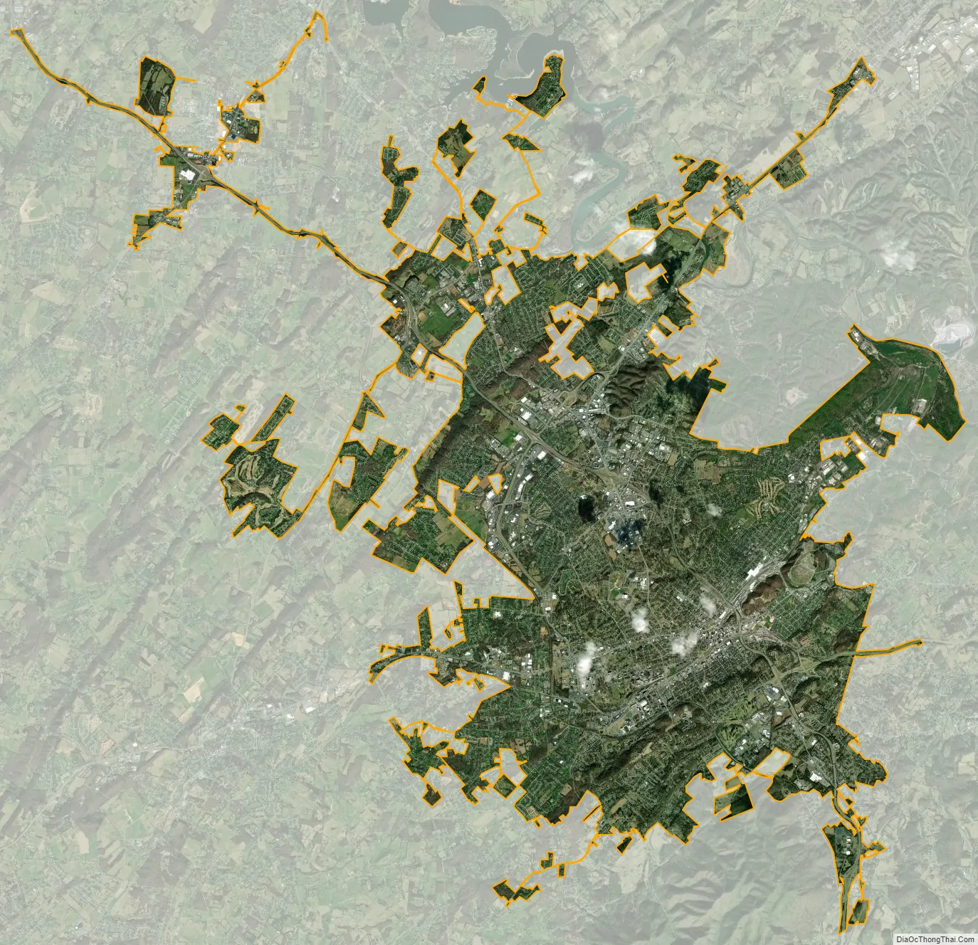
According to the United States Census Bureau, the city has an area of 43.3 square miles (112.1 km), of which 42.9 square miles (111.2 km) is land and 0.3 square miles (0.8 km), or 0.75 percent, is water.
The steep mountains, rolling hills, and valleys surrounding the region are part of the Appalachian Ridge-and-Valley Province, and Johnson City is just west of the Blue Ridge Mountains. Roan Mountain, with an elevation of over 6,000 feet (1,800 m), is approximately 20 miles (32 km) to the southeast of the city. Buffalo Mountain, a ridge over 2,700 feet (820 m) high, is the location of a city park on the south side of town. The Watauga River arm of Boone Lake, a Tennessee Valley Authority reservoir, is partly within the city limits. The Nolichucky River flows 12 miles (19 km) to the south of Johnson City. Whitewater rafting and kayaking opportunities exist 20 miles (32 km) south of Johnson City where that river flows from the North Carolina state line near Erwin.
Climate
Johnson City has a humid subtropical climate (Köppen Cfa), with warm summers and cool winters. Temperatures in Johnson City are moderated somewhat by its elevation and proximity to the Appalachian Mountains. Precipitation is abundant, with an average of 45.22 in (1,149 mm). Summer is typically the wettest part of the year, while early autumn is considerably drier. Snowfall is moderate and sporadic, with an average of 15.6 in (40 cm).
See also
Map of Tennessee State and its subdivision:- Anderson
- Bedford
- Benton
- Bledsoe
- Blount
- Bradley
- Campbell
- Cannon
- Carroll
- Carter
- Cheatham
- Chester
- Claiborne
- Clay
- Cocke
- Coffee
- Crockett
- Cumberland
- Davidson
- Decatur
- DeKalb
- Dickson
- Dyer
- Fayette
- Fentress
- Franklin
- Gibson
- Giles
- Grainger
- Greene
- Grundy
- Hamblen
- Hamilton
- Hancock
- Hardeman
- Hardin
- Hawkins
- Haywood
- Henderson
- Henry
- Hickman
- Houston
- Humphreys
- Jackson
- Jefferson
- Johnson
- Knox
- Lake
- Lauderdale
- Lawrence
- Lewis
- Lincoln
- Loudon
- Macon
- Madison
- Marion
- Marshall
- Maury
- McMinn
- McNairy
- Meigs
- Monroe
- Montgomery
- Moore
- Morgan
- Obion
- Overton
- Perry
- Pickett
- Polk
- Putnam
- Rhea
- Roane
- Robertson
- Rutherford
- Scott
- Sequatchie
- Sevier
- Shelby
- Smith
- Stewart
- Sullivan
- Sumner
- Tipton
- Trousdale
- Unicoi
- Union
- Van Buren
- Warren
- Washington
- Wayne
- Weakley
- White
- Williamson
- Wilson
- Alabama
- Alaska
- Arizona
- Arkansas
- California
- Colorado
- Connecticut
- Delaware
- District of Columbia
- Florida
- Georgia
- Hawaii
- Idaho
- Illinois
- Indiana
- Iowa
- Kansas
- Kentucky
- Louisiana
- Maine
- Maryland
- Massachusetts
- Michigan
- Minnesota
- Mississippi
- Missouri
- Montana
- Nebraska
- Nevada
- New Hampshire
- New Jersey
- New Mexico
- New York
- North Carolina
- North Dakota
- Ohio
- Oklahoma
- Oregon
- Pennsylvania
- Rhode Island
- South Carolina
- South Dakota
- Tennessee
- Texas
- Utah
- Vermont
- Virginia
- Washington
- West Virginia
- Wisconsin
- Wyoming