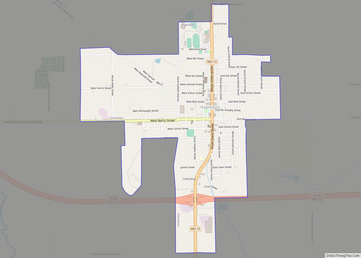
Hamilton is a city in northern Caldwell County, Missouri, and is part of the Kansas City metropolitan area within the United States. The population was 1,690 at the 2020 census. It is known as the hometown of James Cash Penney, who built a large apparel-related business, J. C. Penney, and the hometown of Jenny Doan, who has built a large quilting-related business, Missouri Star Quilt Co.
| Name: | Hamilton city |
|---|---|
| LSAD Code: | 25 |
| LSAD Description: | city (suffix) |
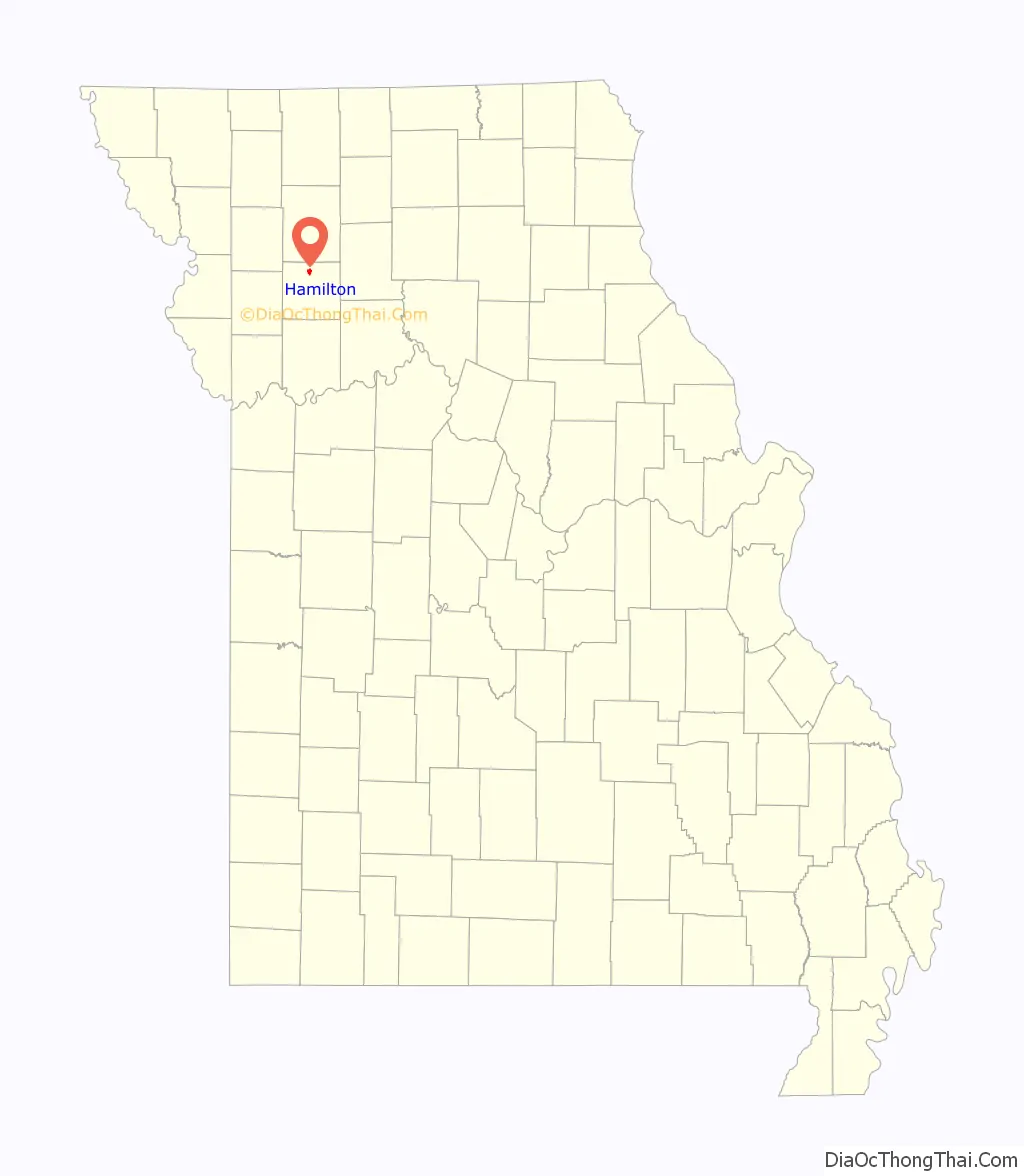
| State: | Missouri |
| County: | Caldwell County |
| Elevation: | 991 ft (302 m) |
| Total Area: | 1.48 sq mi (3.82 km²) |
| Land Area: | 1.47 sq mi (3.80 km²) |
| Water Area: | 0.01 sq mi (0.02 km²) |
| Total Population: | 1,690 |
| Population Density: | 1,150.44/sq mi (444.32/km²) |
| ZIP code: | 64644 |
| Area code: | 816 |
| FIPS code: | 2930034 |
| GNISfeature ID: | 2394277 |
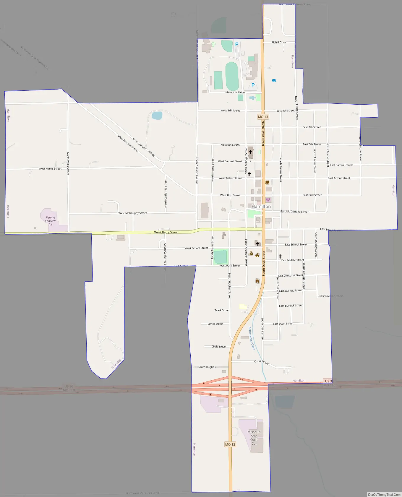
Online Interactive Map
Click on ![]() to view map in "full screen" mode.
to view map in "full screen" mode.
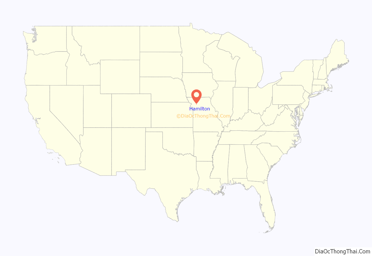
Hamilton location map. Where is Hamilton city?
History
Hamilton, Missouri owes its existence largely to the Hannibal & St. Joseph Railroad. Prior to 1854 the area around Hamilton was unsettled prairie land belonging to the U.S. Government. With the coming of the railroad, the Hamilton Town Company was formed to develop a tract of land along the rails.
At first the name Prairie City was intended for the new community. However, Albert Gallatin Davis, a key member of the Town Company, chose Hamilton instead, in honor of two early Americans, Founding Father and first Treasury Secretary Alexander Hamilton, and Joseph Hamilton, an early American lawyer and military leader killed at the Battle of the Thames during the War of 1812.
The first house in Hamilton, fittingly, was built by Davis in the summer of 1855, as well as the first business, a general store, in 1857. The store would serve as Hamilton’s first post office and Davis as the first postmaster in 1858. The Hannibal & St. Joseph Railroad was finally completed on February 14, 1859, and the first train arrived that day. A railroad depot was constructed by the fall of 1859, with Albert Gallatin Davis appointed the first railroad and express agent.
By the outbreak of the American Civil War, Hamilton consisted of about 25 homes and businesses. The town saw little involvement in the war, despite northwest and north-central Missouri being a hotbed of guerrilla warfare. The majority of the towns residents held strong pro-Union sympathies, with the few pro-Confederates among the populace forced to take an oath of allegiance. Being on the rail line made Hamilton a tempting target for Confederate “bushwhackers”, so beginning in the fall of 1861, a company of the 50th Illinois Infantry arrived to help the local Home Guard unit defend the town.
Once the war ended Hamilton experienced a period of rapid growth, and was incorporated in 1868. At that time several new sections of land had been annexed into the original town plat and the population grew to several hundred. After a brief slowdown caused by the Panic of 1873, growth resumed. By the mid-1880s, Hamilton had two newspapers, the Hamiltonian and the News-Graphic, as well as two banks, two hotels, flour mills, grain elevators, and other businesses supported by a population of around 1,800. Coal mining became of some importance to the town’s economy in the early 1880s. The Hamilton Coal Company was organized in the spring of 1882 and began mining operations the following year about two miles outside of the town. A railroad spur line was constructed to connect the coal field to the Hannibal & St. Joseph main line.
Hamilton Road Map
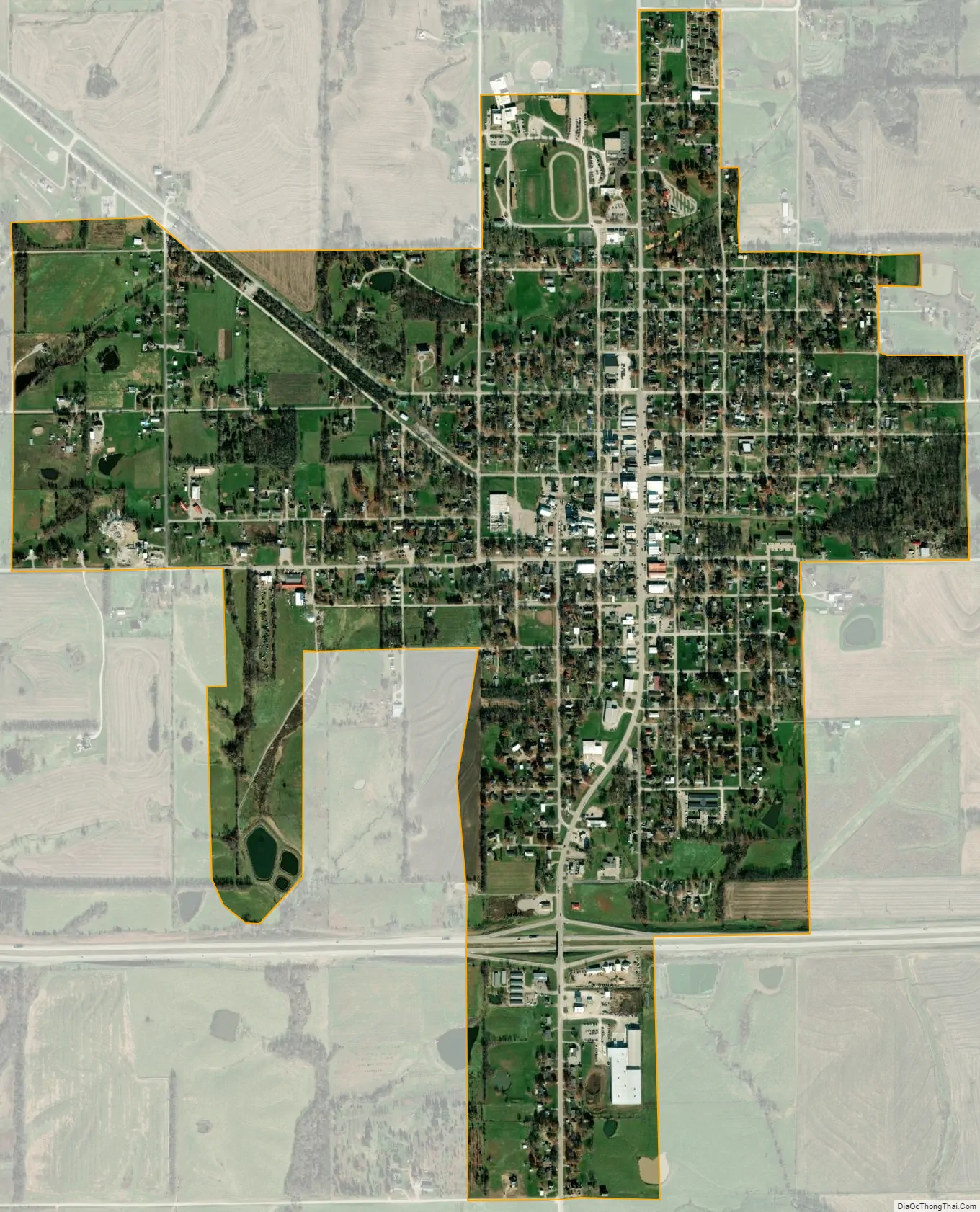
Hamilton city Satellite Map
Geography
Hamilton is located at 39°44′38″N 93°59′56″W / 39.74389°N 93.99889°W / 39.74389; -93.99889 (39.743791, -93.998765).
According to the United States Census Bureau, the city has a total area of 1.41 square miles (3.65 km), of which 1.40 square miles (3.63 km) is land and 0.01 square miles (0.03 km) is water.
Climate
See also
Map of Missouri State and its subdivision:- Adair
- Andrew
- Atchison
- Audrain
- Barry
- Barton
- Bates
- Benton
- Bollinger
- Boone
- Buchanan
- Butler
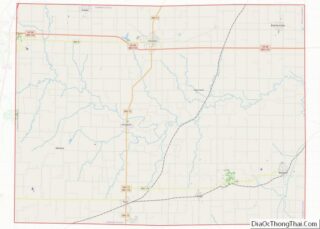
- Caldwell
- Callaway
- Camden
- Cape Girardeau
- Carroll
- Carter
- Cass
- Cedar
- Chariton
- Christian
- Clark
- Clay
- Clinton
- Cole
- Cooper
- Crawford
- Dade
- Dallas
- Daviess
- De Kalb
- Dent
- Douglas
- Dunklin
- Franklin
- Gasconade
- Gentry
- Greene
- Grundy
- Harrison
- Henry
- Hickory
- Holt
- Howard
- Howell
- Iron
- Jackson
- Jasper
- Jefferson
- Johnson
- Knox
- Laclede
- Lafayette
- Lawrence
- Lewis
- Lincoln
- Linn
- Livingston
- Macon
- Madison
- Maries
- Marion
- McDonald
- Mercer
- Miller
- Mississippi
- Moniteau
- Monroe
- Montgomery
- Morgan
- New Madrid
- Newton
- Nodaway
- Oregon
- Osage
- Ozark
- Pemiscot
- Perry
- Pettis
- Phelps
- Pike
- Platte
- Polk
- Pulaski
- Putnam
- Ralls
- Randolph
- Ray
- Reynolds
- Ripley
- Saint Charles
- Saint Clair
- Saint Francois
- Saint Louis
- Sainte Genevieve
- Saline
- Schuyler
- Scotland
- Scott
- Shannon
- Shelby
- Stoddard
- Stone
- Sullivan
- Taney
- Texas
- Vernon
- Warren
- Washington
- Wayne
- Webster
- Worth
- Wright
- Alabama
- Alaska
- Arizona
- Arkansas
- California
- Colorado
- Connecticut
- Delaware
- District of Columbia
- Florida
- Georgia
- Hawaii
- Idaho
- Illinois
- Indiana
- Iowa
- Kansas
- Kentucky
- Louisiana
- Maine
- Maryland
- Massachusetts
- Michigan
- Minnesota
- Mississippi
- Missouri
- Montana
- Nebraska
- Nevada
- New Hampshire
- New Jersey
- New Mexico
- New York
- North Carolina
- North Dakota
- Ohio
- Oklahoma
- Oregon
- Pennsylvania
- Rhode Island
- South Carolina
- South Dakota
- Tennessee
- Texas
- Utah
- Vermont
- Virginia
- Washington
- West Virginia
- Wisconsin
- Wyoming