Weissport is a borough in Carbon County, Pennsylvania. It is part of Northeastern Pennsylvania. As of the 2010 census, it had a population of 412.
| Name: | Weissport borough |
|---|---|
| LSAD Code: | 21 |
| LSAD Description: | borough (suffix) |
| State: | Pennsylvania |
| County: | Carbon County |
| Elevation: | 630 ft (190 m) |
| Total Area: | 0.16 sq mi (0.41 km²) |
| Land Area: | 0.14 sq mi (0.35 km²) |
| Water Area: | 0.02 sq mi (0.06 km²) |
| Total Population: | 412 |
| Population Density: | 2,940.74/sq mi (1,134.59/km²) |
| ZIP code: | 18235 |
| Area code: | 610 |
| FIPS code: | 4282080 |
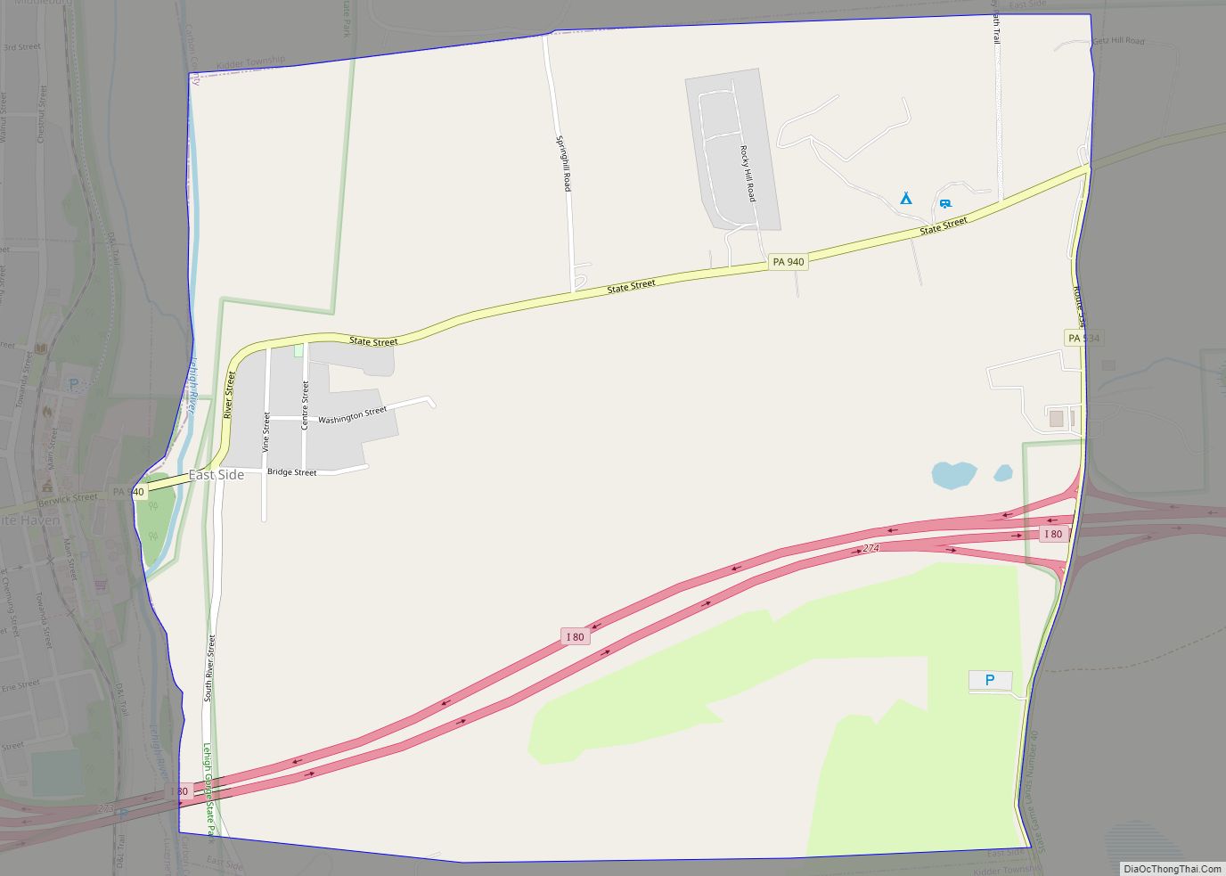
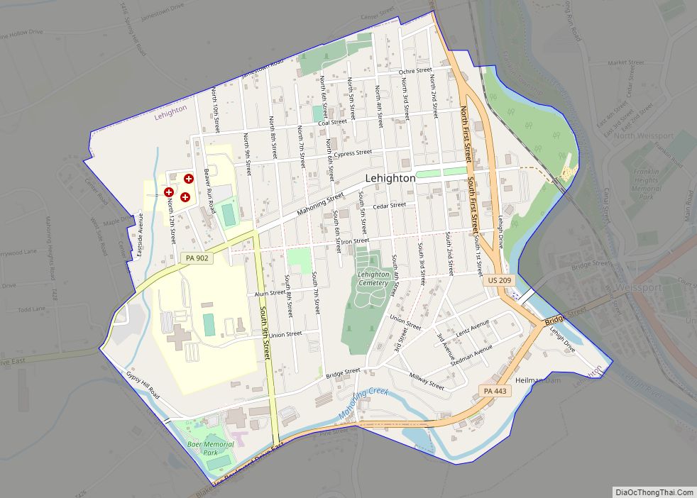
Online Interactive Map
Click on ![]() to view map in "full screen" mode.
to view map in "full screen" mode.
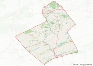
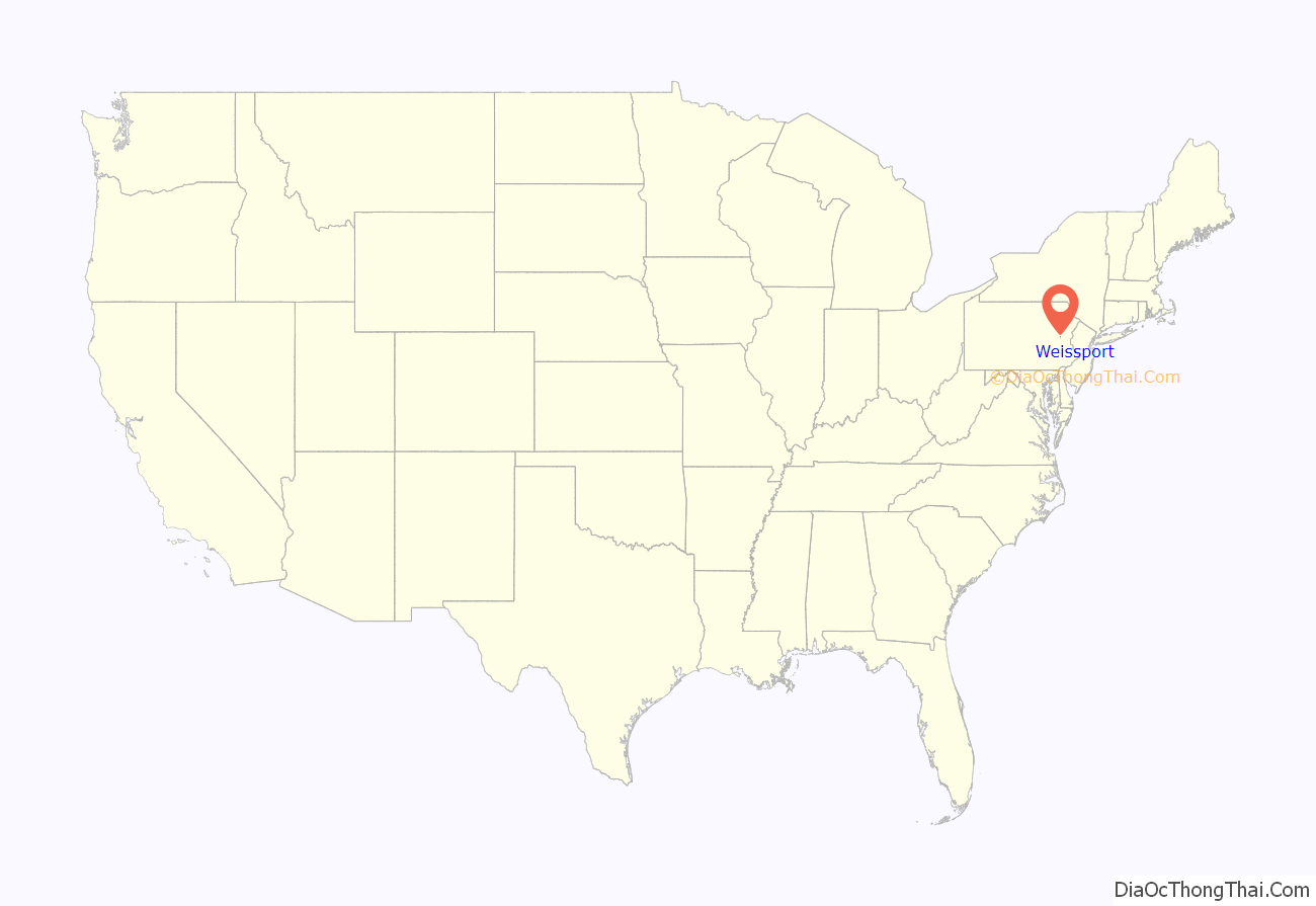
Weissport location map. Where is Weissport borough?
History
The town was founded in 1792 by Col. Jacob Weiss. The area was located between Lehighton, Parryville, and Longrun. Soon after, the town itself was established and the first wooden bridge over the river to the town was built in 1805, along with the first post office, taverns, banks, and stores all by 1812. Within its first twenty years the town was established as a vital part of the canal industry, specializing in the restoration, building, and repairing of boats along the Lehigh Canal which ran parallel to the Lehigh River. By 1832, Lewis Weiss began building boats for the Lehigh Coal and Navigation Company and the Morris Canal & Banking Company.
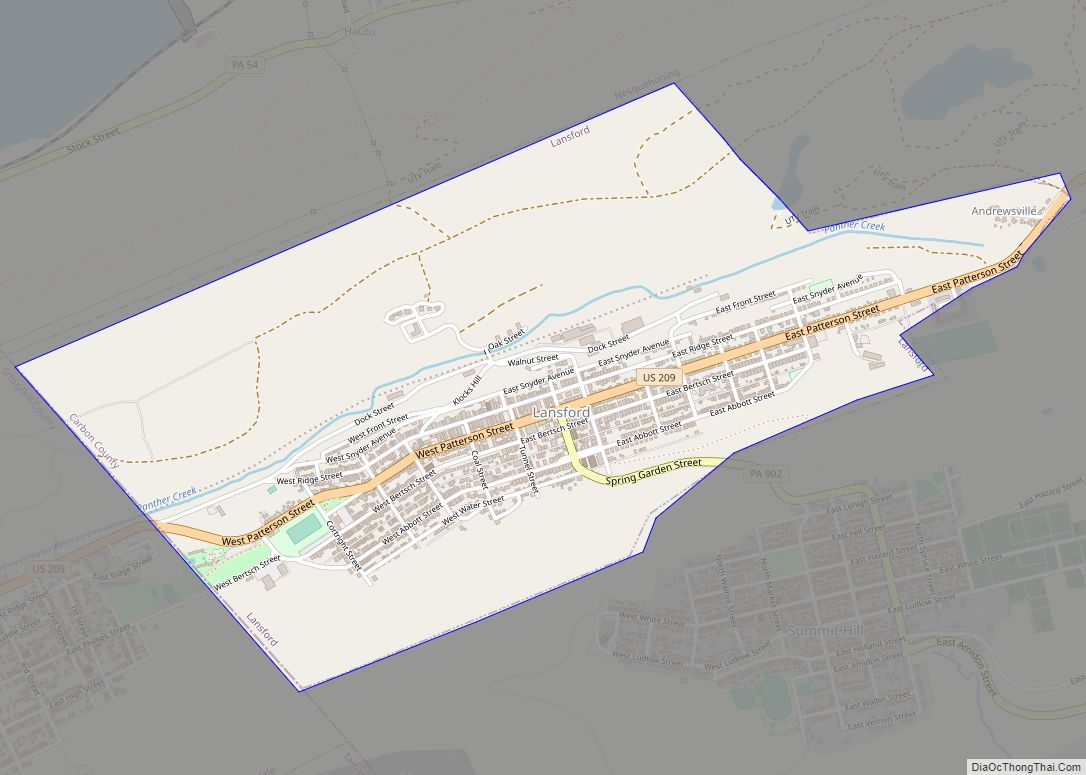
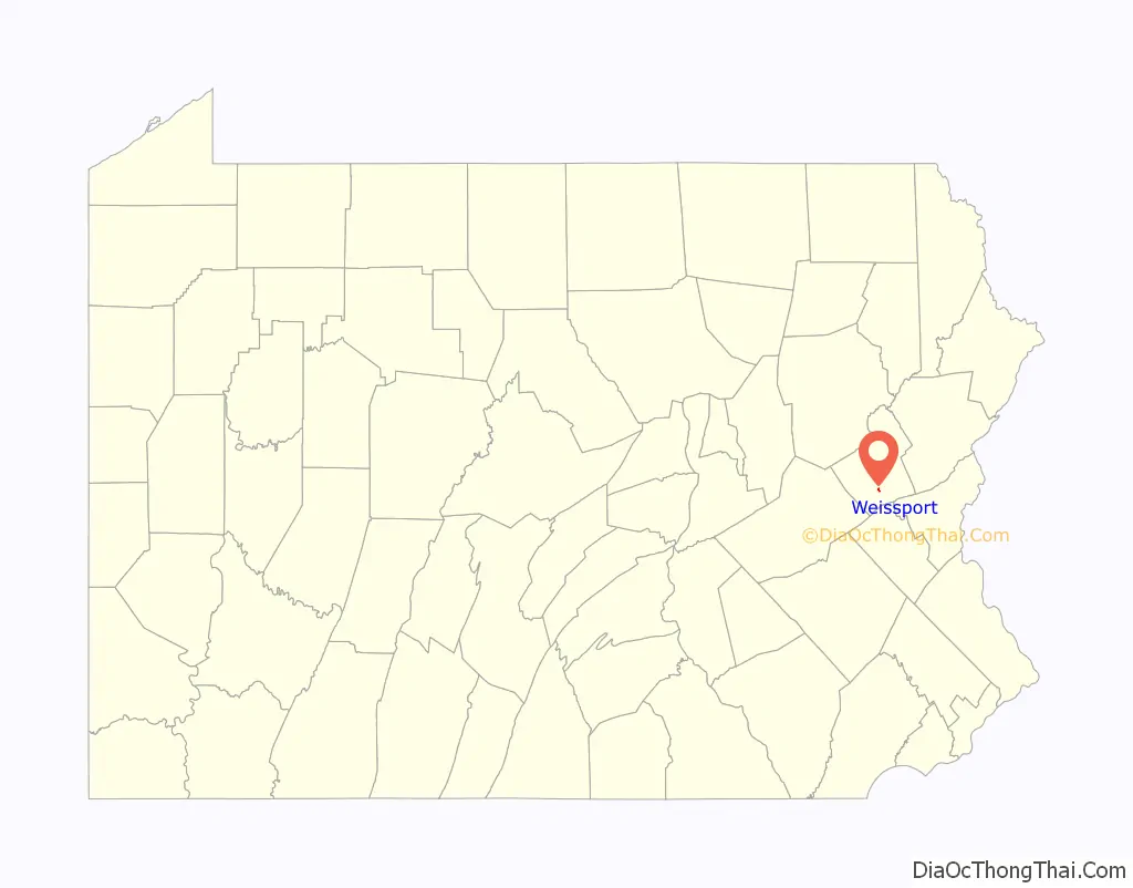
Weissport Road Map
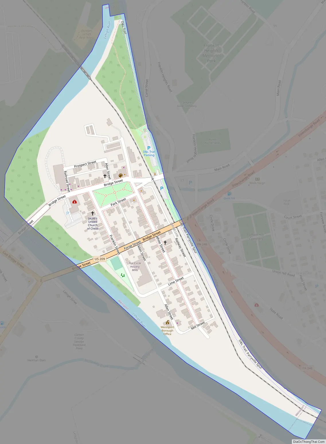
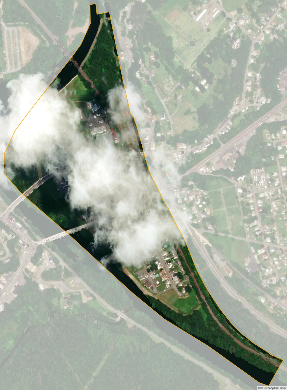
Weissport city Satellite Map
Geography
Weissport is located in southern Carbon County at 40°49′45″N 75°42′3″W / 40.82917°N 75.70083°W / 40.82917; -75.70083 (40.829105, -75.700817). It is on the east side of the Lehigh River, situated on low ground between the river and the former Lehigh Canal. To the west, across the river, is the much larger borough of Lehighton. Weissport was a central hub during the Lehigh Coal and Navigation Canal era. The town served as the only boat building and repair facility along the Lehigh Canal. Today, the Lehigh Canal Park is a gem of nature and history for residents and visitors alike. The town is one of the cultural and historic resources along the Delaware and Lehigh National Heritage Corridor.
According to the United States Census Bureau, the borough has a total area of 0.16 square miles (0.41 km), of which 0.14 square miles (0.35 km) is land and 0.02 square miles (0.06 km), or 13.92%, is water. Weissport’s elevation is 475 feet (145 m) above sea level.
See also
Map of Pennsylvania State and its subdivision:- Adams
- Allegheny
- Armstrong
- Beaver
- Bedford
- Berks
- Blair
- Bradford
- Bucks
- Butler
- Cambria
- Cameron
- Carbon
- Centre
- Chester
- Clarion
- Clearfield
- Clinton
- Columbia
- Crawford
- Cumberland
- Dauphin
- Delaware
- Elk
- Erie
- Fayette
- Forest
- Franklin
- Fulton
- Greene
- Huntingdon
- Indiana
- Jefferson
- Juniata
- Lackawanna
- Lancaster
- Lawrence
- Lebanon
- Lehigh
- Luzerne
- Lycoming
- Mc Kean
- Mercer
- Mifflin
- Monroe
- Montgomery
- Montour
- Northampton
- Northumberland
- Perry
- Philadelphia
- Pike
- Potter
- Schuylkill
- Snyder
- Somerset
- Sullivan
- Susquehanna
- Tioga
- Union
- Venango
- Warren
- Washington
- Wayne
- Westmoreland
- Wyoming
- York
- Alabama
- Alaska
- Arizona
- Arkansas
- California
- Colorado
- Connecticut
- Delaware
- District of Columbia
- Florida
- Georgia
- Hawaii
- Idaho
- Illinois
- Indiana
- Iowa
- Kansas
- Kentucky
- Louisiana
- Maine
- Maryland
- Massachusetts
- Michigan
- Minnesota
- Mississippi
- Missouri
- Montana
- Nebraska
- Nevada
- New Hampshire
- New Jersey
- New Mexico
- New York
- North Carolina
- North Dakota
- Ohio
- Oklahoma
- Oregon
- Pennsylvania
- Rhode Island
- South Carolina
- South Dakota
- Tennessee
- Texas
- Utah
- Vermont
- Virginia
- Washington
- West Virginia
- Wisconsin
- Wyoming