Lehighton (/liˈhaɪtən/) is a borough in Carbon County, Pennsylvania, United States. It is part of Northeastern Pennsylvania. Lehighton is located 28.9 miles (46.5 km) northwest of Allentown and 77.5 miles (124.7 km) northwest of Philadelphia.
Due in part to water power from the Lehigh River, Lehighton was an early center for U.S. industrialization. The Lehigh Valley Railroad was for years a major employer up until the post-World War II era when railroad and industry restructuring led to job and population losses.
As of the 2020 U.S. census, Lehighton’s population was 5,248, down from a peak population of 7,000 in 1940. Lehighton is the most populous borough in Carbon County and still the county’s business hub. The Lehigh River, a 109-mile-long (175 km) tributary of the Delaware River, flows through Lehighton.
| Name: | Lehighton borough |
|---|---|
| LSAD Code: | 21 |
| LSAD Description: | borough (suffix) |
| State: | Pennsylvania |
| County: | Carbon County |
| Elevation: | 570 ft (170 m) |
| Total Area: | 1.65 sq mi (4.28 km²) |
| Land Area: | 1.62 sq mi (4.20 km²) |
| Water Area: | 0.03 sq mi (0.07 km²) |
| Total Population: | 5,248 |
| Population Density: | 3,233.52/sq mi (1,248.41/km²) |
| ZIP code: | 18235 |
| FIPS code: | 4242472 |
| Website: | www.lehightonborough.com |
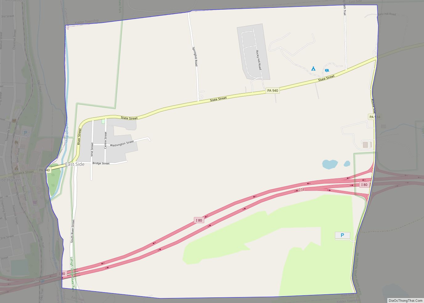
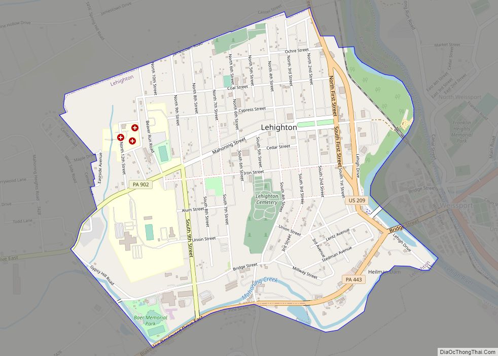
Online Interactive Map
Click on ![]() to view map in "full screen" mode.
to view map in "full screen" mode.
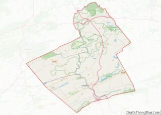
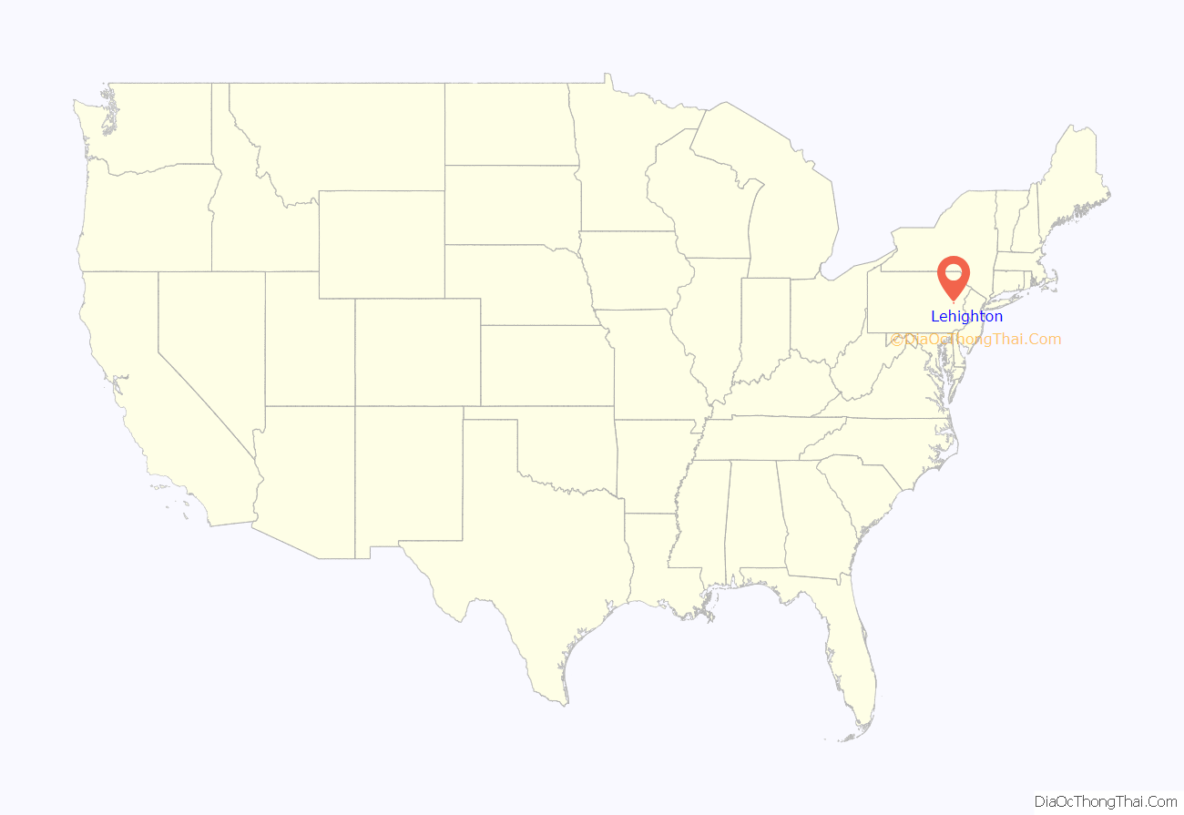
Lehighton location map. Where is Lehighton borough?
History
At the time of the first European’s encounters with historic American Indian tribes, this area was part of the shared hunting territory of the Iroquoian Susquehannock and the Algonquian Lenape (also called the Delaware, after their language and territory along the Delaware River) peoples, who were often at odds. Relatives of the peoples of New England and along the St. Lawrence Valley of Canada occupied much of the coastal mid-Atlantic area in Delaware, New Jersey, Eastern Pennsylvania, and lower eastern New York, including Long Island. The Susquehannock confederacy’s homelands were mainly along the Susquehanna River, from the Mohawk Valley in lower New York southerly to the Chesapeake and Virginia‘s Shenandoah Valley, but may have ranged into the ’empty lands’ of West Virginia, Eastern Ohio, and Western Pennsylvania. The Dutch and Swedes first settled the Delaware Valley, and found the area north of the Lehigh Gap to be lightly occupied, probably by transients, but traveled regularly by the Susquehannock. This tribe traveled quite a bit according to the American Heritage Book of Indians, including being described in lofty terms by John Smith when a band visited the new Jamestown, Virginia colony. In the decades of the Beaver Wars in the mid-1600s, the Susquehannocks conquered and made the Lenape a tributary tribe — and also nearly inflicted an overwhelming defeat on the powerful Iroquois Confederacy,. Shortly thereafter, the Susquehannocks suffered a reversal, falling first to epidemic disease that raged for three years which killed off perhaps 90% of their population, and a series of battles on most of their frontiers as various enemies took advantage. This vacated the southeastern and central Pennsylvania regions for the Delaware peoples. However, all tribes were thereafter displaced westwards by continued colonial growth. Delaware dominance at the time of European colonization is why William Penn’s settlers adopted Lenape Lenki (Delaware) names for landscape features, and less than a handful of Susquehannock names.
Lehighton was built on the site of the German Moravian Brethren’s mission station “Gnadenhütten” (cabins of grace) founded in 1746. It was established as a mission to the Lenape by Moravians from Bethlehem, Pennsylvania, lower on the Lehigh River. The German name was transcribed as “Canatanheat” by missionary John Brainerd.
During the French and Indian Wars (Seven Years’ War), Native allies of the French killed 11 missionaries and Lenape (Delaware) converted Christians at Gnadenhutten on 24 November 1755. They destroyed the mission village, and only four of the fifteen residents escaped. (During the American Revolutionary War in 1782, Pennsylvania militia raided another Moravian mission village, also called Gnadenhutten, in present-day Ohio. Suspecting the Lenape of being allied with the British, the militia killed 96 unarmed men, women, and children in what became better known as the Gnadenhutten Massacre.)
The Lehigh River was a source of water power for developing industries in the 19th century. Lehighton had silk and lace mills, a meat-packing house, shirt factory, automatic-press works, car shops, stoneworks, and foundries. In 1900, the population was 4,629 people. By 1940, it had reached 6,615.
The coming of the railroad made it easier for residents to get their products to major markets. For many years, the Lehigh Valley Railroad had a major repair facility in Lehighton. The coming of the railroad was a major economic boost for the town. It was the area’s largest company, employing several thousand workers at the repair facilities or operating and maintaining the railroad. Restructuring in the railroad industry led to the repair facilities being moved to another location. Lost jobs meant that some people had to relocate for work.
The Lehighton downtown declined after the Carbon Plaza Mall was built in nearby Mahoning Township. Suburban housing developed, pulling more businesses from downtown. After struggling for three decades, the downtown is experiencing a rebirth as people appreciate the qualities of a compact central location, royalty and historic architecture.
The town holds an annual civic event, “Bike Night”, featuring more than 28,000 motorcyclists. “Bike Night” first started in the borough of Lehighton. In 2013, Lehighton moved its “Bike Night” out of the downtown park across from the borough office to a park called “The Grove” located on Iron Street between South 7th and 8th Street. In 2015, “Bike Night” was moved again. However, this time “Bike Night” moved out of the Lehighton Borough. “Bike Night” of 2015 was located in Franklin Township, which is located a few miles outside of the borough. This is the first time since the first annual event that it was not held within the Lehighton borough itself.
In late September through October, the Country Junction store sponsors “The Great Pocono Pumpkin Festival”. It features hayrides, walks in haunted woods, and cornfield mazes.
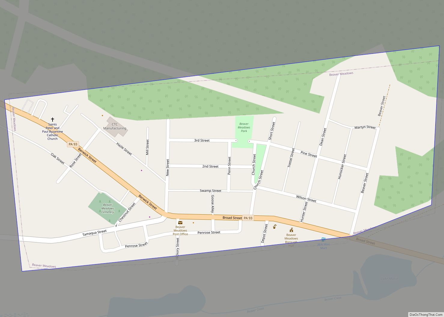
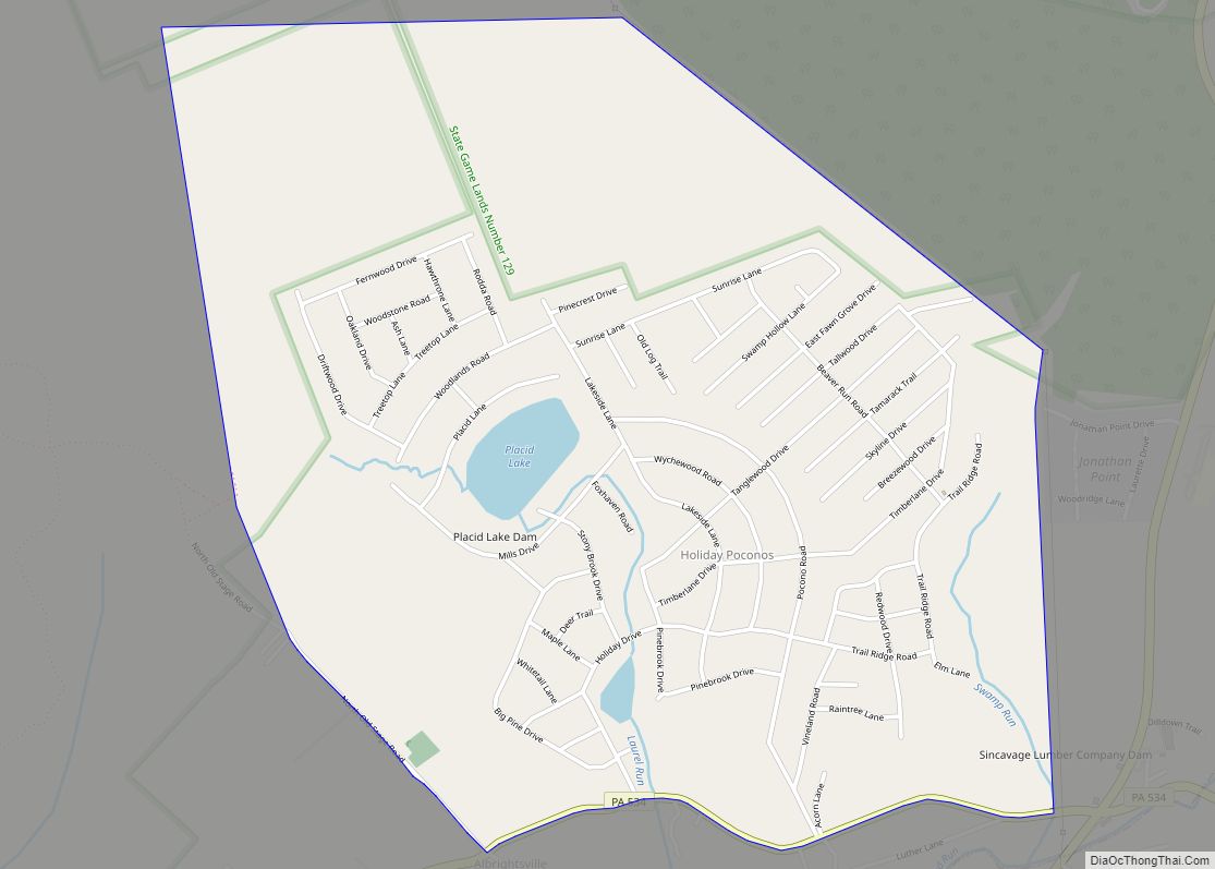
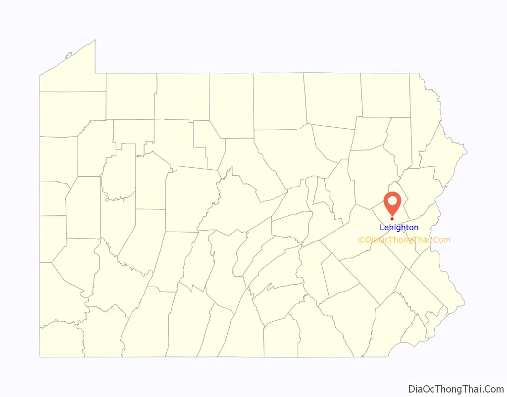
Lehighton Road Map
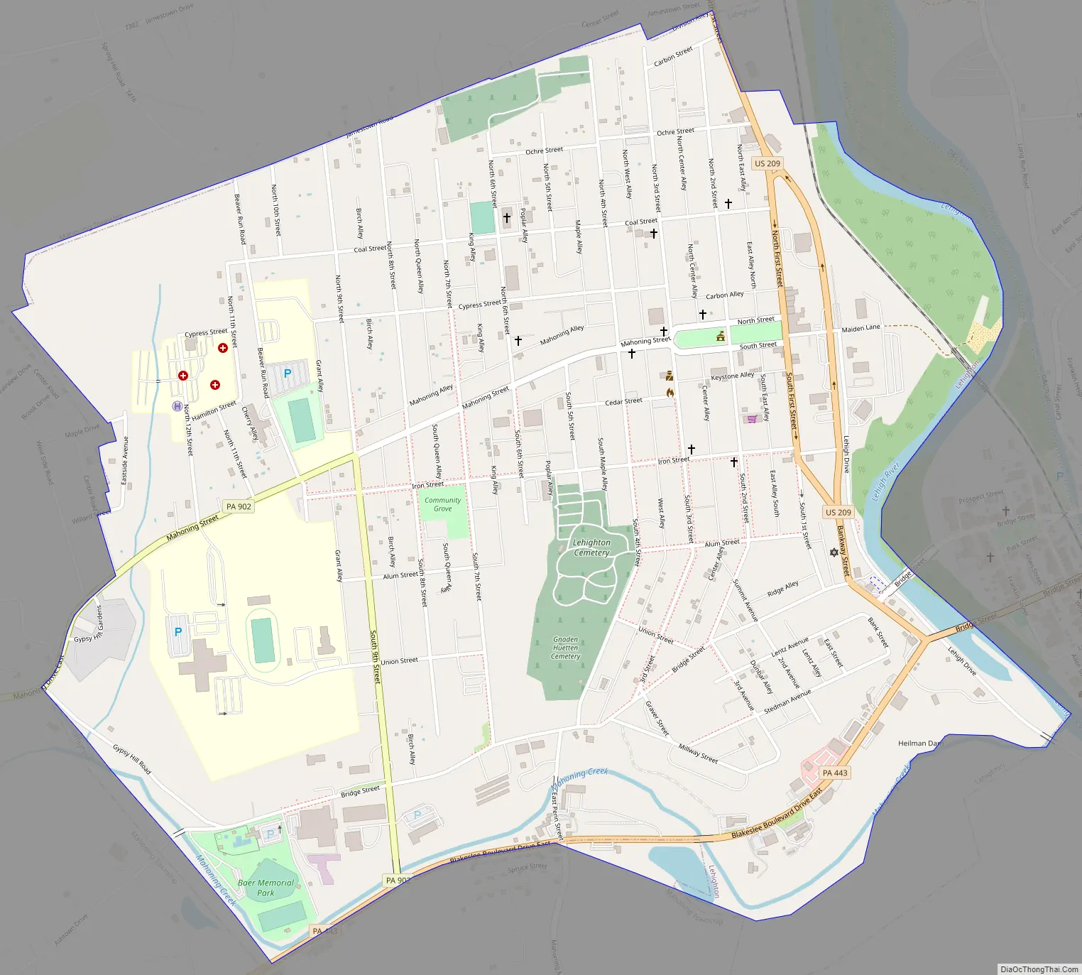
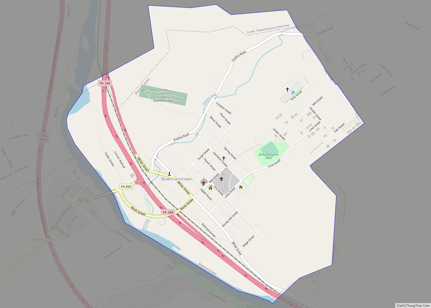
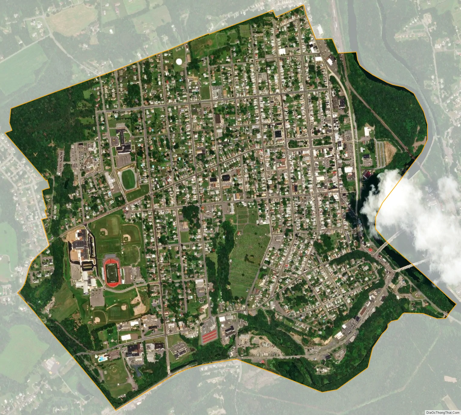
Lehighton city Satellite Map
Geography
Lehighton is located in southern Carbon County at 40°49′55″N 75°42′53″W / 40.83194°N 75.71472°W / 40.83194; -75.71472 (40.831932, -75.714701). It is in northeast Pennsylvania 117 miles (188 km) west of New York City and 37 miles (60 km) south of Wilkes-Barre. The borough is situated on the west bank of the Lehigh River at an elevation ranging from 470 feet (140 m) above sea level at the river up to 725 feet (221 m) near the northwest part of town by Mahoning Township border.
According to the United States Census Bureau, the borough has a total area of 1.65 square miles (4.28 km), of which 1.62 square miles (4.20 km) is land and 0.03 square miles (0.07 km), or 1.69%, is water. Lehighton is located 3 miles (5 km) south of Jim Thorpe, the Carbon County seat, and 7 miles (11 km) northwest of Palmerton. Lehighton is bordered on the north, west, and south by Mahoning Township and across the Lehigh River on the east by Weissport and Franklin Township.
Lehighton is primarily very green and hilly. The town and its outlying communities are in the Ridge-and-Valley region of the Appalachian Mountains. The Appalachian Trail, a long-distance hiking trail extending from Maine to Georgia, is located south of town near Palmerton.
See also
Map of Pennsylvania State and its subdivision:- Adams
- Allegheny
- Armstrong
- Beaver
- Bedford
- Berks
- Blair
- Bradford
- Bucks
- Butler
- Cambria
- Cameron
- Carbon
- Centre
- Chester
- Clarion
- Clearfield
- Clinton
- Columbia
- Crawford
- Cumberland
- Dauphin
- Delaware
- Elk
- Erie
- Fayette
- Forest
- Franklin
- Fulton
- Greene
- Huntingdon
- Indiana
- Jefferson
- Juniata
- Lackawanna
- Lancaster
- Lawrence
- Lebanon
- Lehigh
- Luzerne
- Lycoming
- Mc Kean
- Mercer
- Mifflin
- Monroe
- Montgomery
- Montour
- Northampton
- Northumberland
- Perry
- Philadelphia
- Pike
- Potter
- Schuylkill
- Snyder
- Somerset
- Sullivan
- Susquehanna
- Tioga
- Union
- Venango
- Warren
- Washington
- Wayne
- Westmoreland
- Wyoming
- York
- Alabama
- Alaska
- Arizona
- Arkansas
- California
- Colorado
- Connecticut
- Delaware
- District of Columbia
- Florida
- Georgia
- Hawaii
- Idaho
- Illinois
- Indiana
- Iowa
- Kansas
- Kentucky
- Louisiana
- Maine
- Maryland
- Massachusetts
- Michigan
- Minnesota
- Mississippi
- Missouri
- Montana
- Nebraska
- Nevada
- New Hampshire
- New Jersey
- New Mexico
- New York
- North Carolina
- North Dakota
- Ohio
- Oklahoma
- Oregon
- Pennsylvania
- Rhode Island
- South Carolina
- South Dakota
- Tennessee
- Texas
- Utah
- Vermont
- Virginia
- Washington
- West Virginia
- Wisconsin
- Wyoming