Weatherly is a borough in Carbon County, Pennsylvania, United States. It is part of Northeastern Pennsylvania and is located 12 miles (19 km) northwest of Jim Thorpe and 28 miles (45 km) south of Wilkes-Barre.
The population was 2,525 at the 2010 census.
| Name: | Weatherly borough |
|---|---|
| LSAD Code: | 21 |
| LSAD Description: | borough (suffix) |
| State: | Pennsylvania |
| County: | Carbon County |
| Elevation: | 1,094 ft (333 m) |
| Total Area: | 2.98 sq mi (7.72 km²) |
| Land Area: | 2.98 sq mi (7.72 km²) |
| Water Area: | 0.00 sq mi (0.00 km²) |
| Total Population: | 2,541 |
| Population Density: | 852.97/sq mi (329.32/km²) |
| ZIP code: | 18255 |
| Area code: | 570 and 272 |
| FIPS code: | 4281856 |
| Website: | www.weatherlypa.gov |
Online Interactive Map
Click on ![]() to view map in "full screen" mode.
to view map in "full screen" mode.
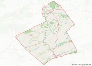
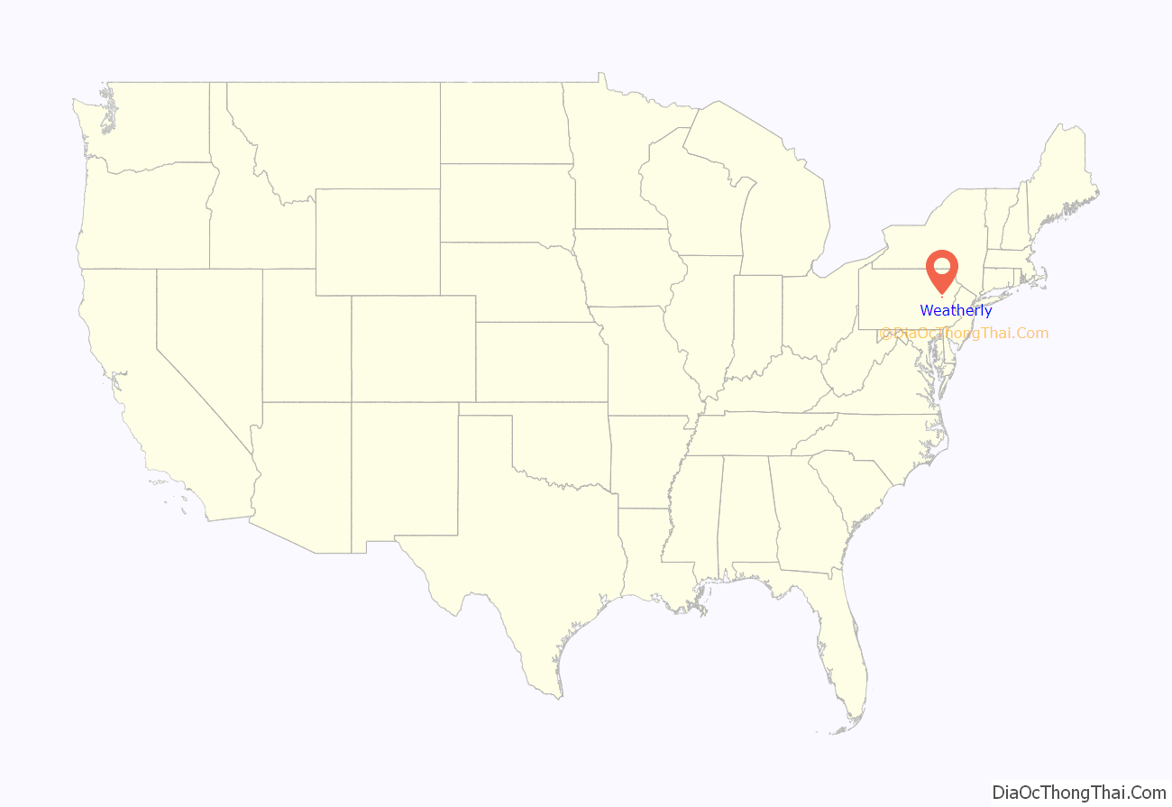
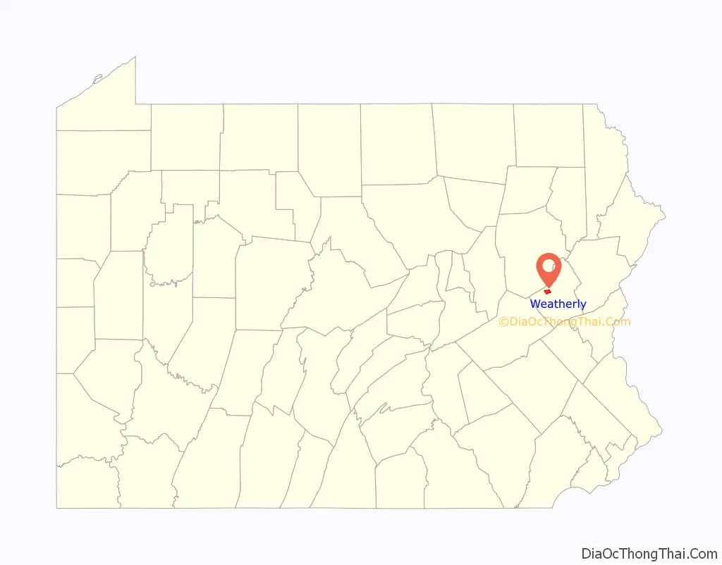
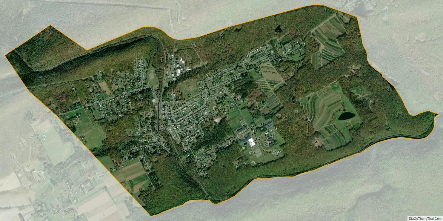
Weatherly location map. Where is Weatherly borough?
History
Originally called “Black Creek”, it received a name change to “Weatherly” in 1848. Clock-maker David Weatherly, also an executive of the Beaver Meadow Railroad, made an agreement with the town that he would build them a clock if they would rename the town “Weatherly”. They changed the name of the town to Weatherly, however David Weatherly returned to Philadelphia to be treated for cancer and died before he could build the promised clock. Charles and Eurana Schwab funded the clock that was built into the clock tower on top of the town’s school, but the town kept the name Weatherly. Early in the twentieth century, there were silk mills, foundries, a candy factory, a fabricating plant, and a cigar factory. In 1900, 2,471 people lived there, and in 1910, the population was 2,501.
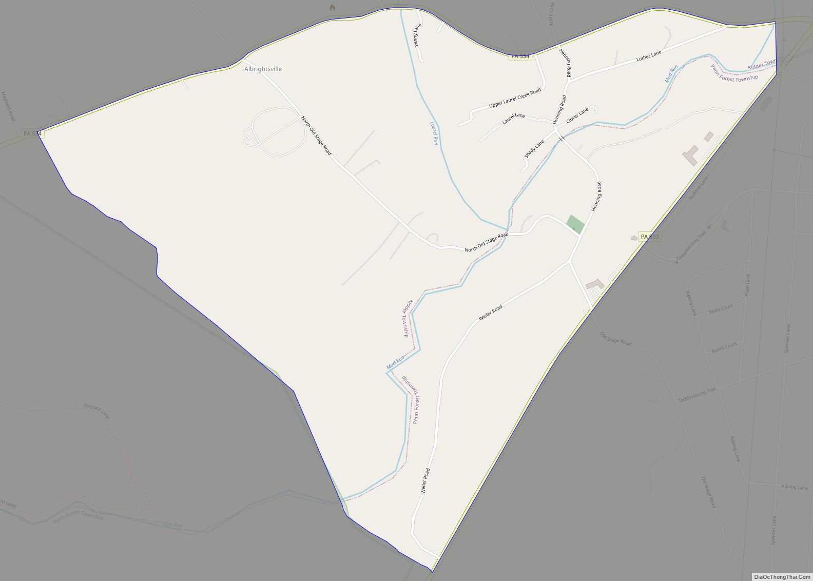
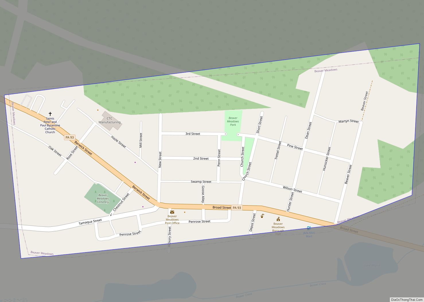
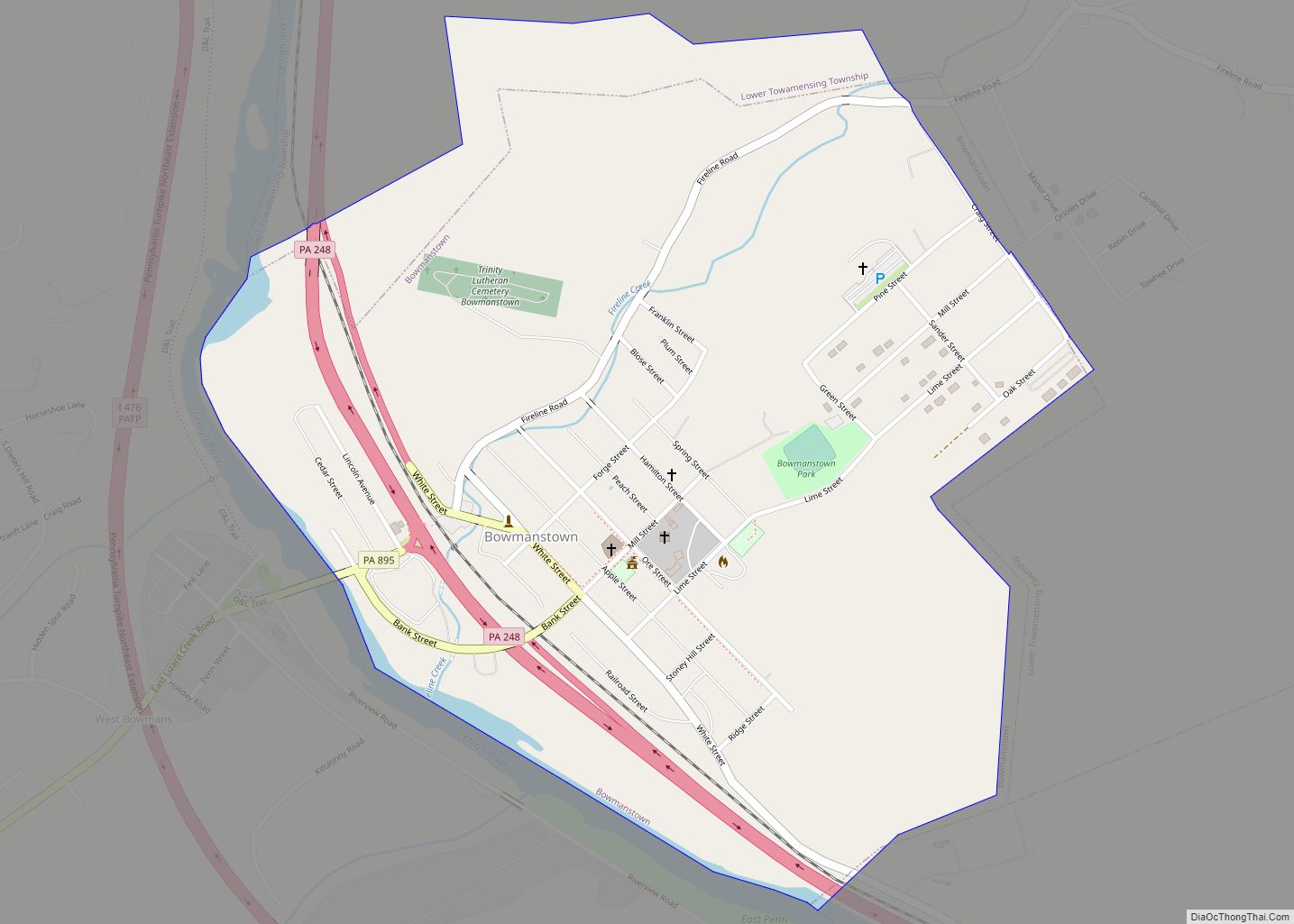
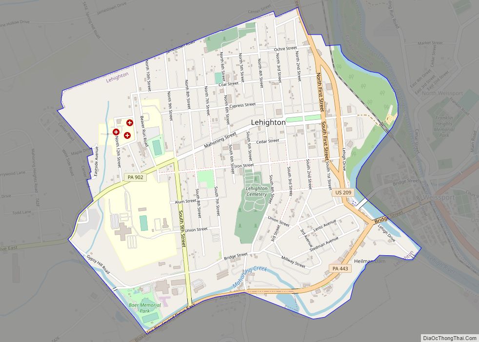
Weatherly Road Map
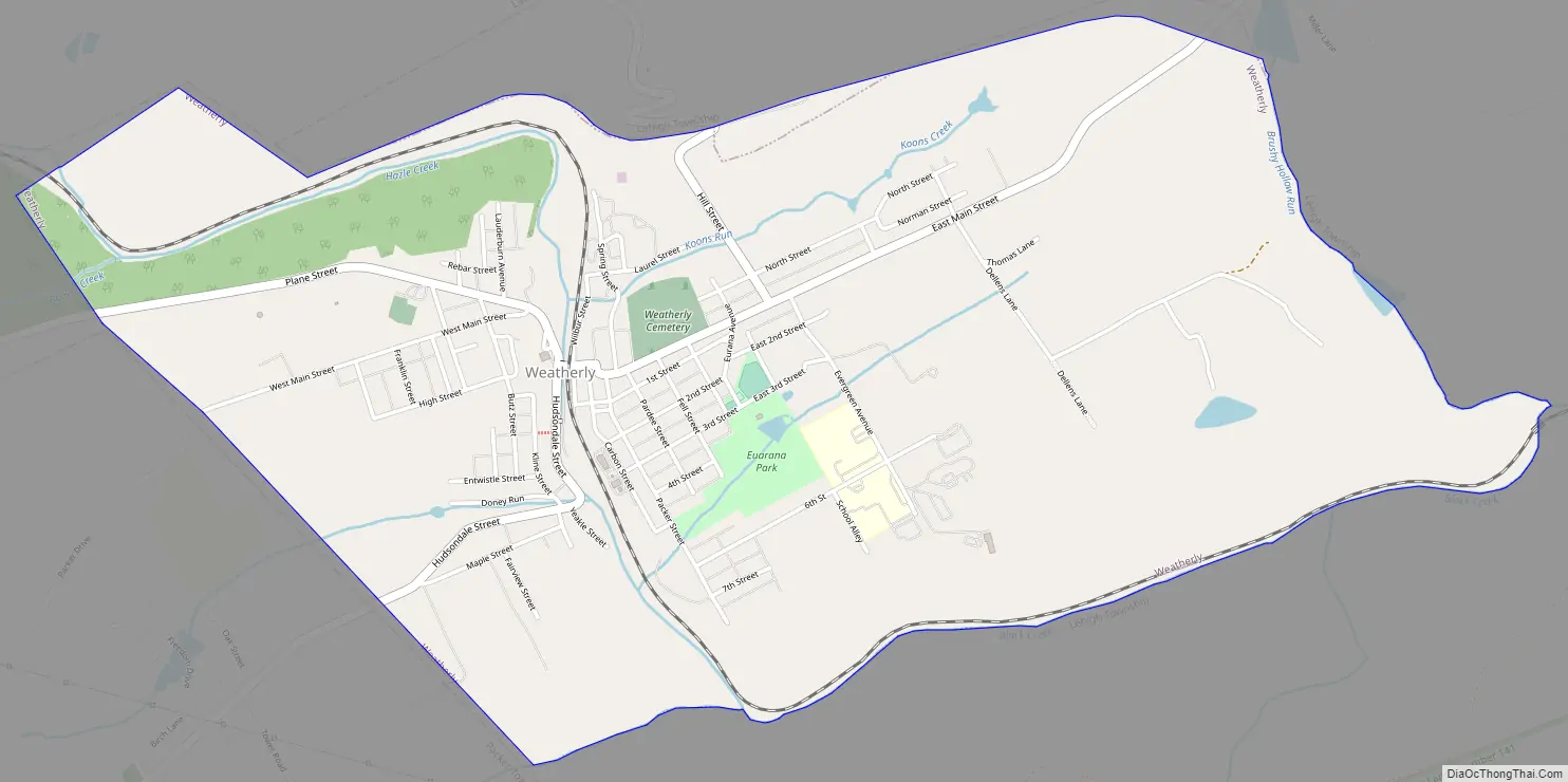
Weatherly city Satellite Map
Geography
Weatherly is located in northwestern Carbon County at 40°56′25″N 75°49′36″W / 40.94028°N 75.82667°W / 40.94028; -75.82667 (40.940257, -75.826722). It is situated at an elevation of 1,100 feet (340 m) above sea level in the Ridge-and-Valley Province of the Appalachian Mountains, between Spring Mountain and Round Head Mountain to the north and Broad Mountain to the south.
According to the U.S. Census Bureau, the borough has a total area of 2.98 square miles (7.72 km), all of it land.
See also
Map of Pennsylvania State and its subdivision:- Adams
- Allegheny
- Armstrong
- Beaver
- Bedford
- Berks
- Blair
- Bradford
- Bucks
- Butler
- Cambria
- Cameron
- Carbon
- Centre
- Chester
- Clarion
- Clearfield
- Clinton
- Columbia
- Crawford
- Cumberland
- Dauphin
- Delaware
- Elk
- Erie
- Fayette
- Forest
- Franklin
- Fulton
- Greene
- Huntingdon
- Indiana
- Jefferson
- Juniata
- Lackawanna
- Lancaster
- Lawrence
- Lebanon
- Lehigh
- Luzerne
- Lycoming
- Mc Kean
- Mercer
- Mifflin
- Monroe
- Montgomery
- Montour
- Northampton
- Northumberland
- Perry
- Philadelphia
- Pike
- Potter
- Schuylkill
- Snyder
- Somerset
- Sullivan
- Susquehanna
- Tioga
- Union
- Venango
- Warren
- Washington
- Wayne
- Westmoreland
- Wyoming
- York
- Alabama
- Alaska
- Arizona
- Arkansas
- California
- Colorado
- Connecticut
- Delaware
- District of Columbia
- Florida
- Georgia
- Hawaii
- Idaho
- Illinois
- Indiana
- Iowa
- Kansas
- Kentucky
- Louisiana
- Maine
- Maryland
- Massachusetts
- Michigan
- Minnesota
- Mississippi
- Missouri
- Montana
- Nebraska
- Nevada
- New Hampshire
- New Jersey
- New Mexico
- New York
- North Carolina
- North Dakota
- Ohio
- Oklahoma
- Oregon
- Pennsylvania
- Rhode Island
- South Carolina
- South Dakota
- Tennessee
- Texas
- Utah
- Vermont
- Virginia
- Washington
- West Virginia
- Wisconsin
- Wyoming