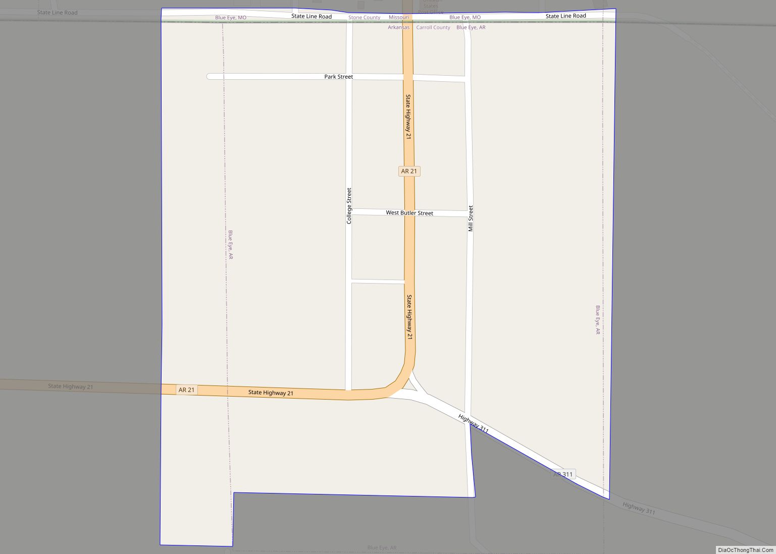
| Name: | Carroll County |
|---|---|
| FIPS code: | 05-015 |
| State: | Arkansas |
| Founded: | November 1, 1833 |
| Named for: | Charles Carroll |
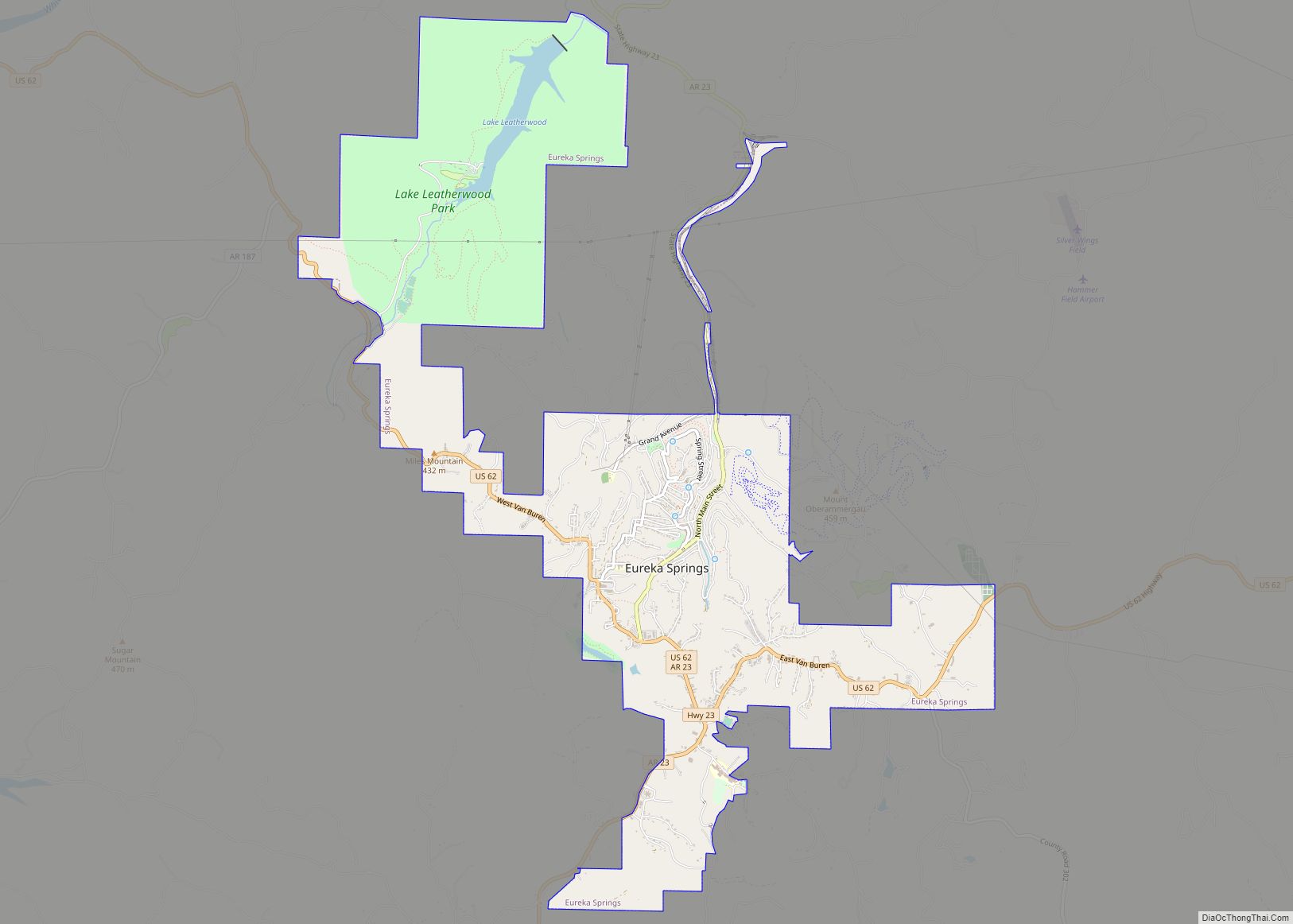
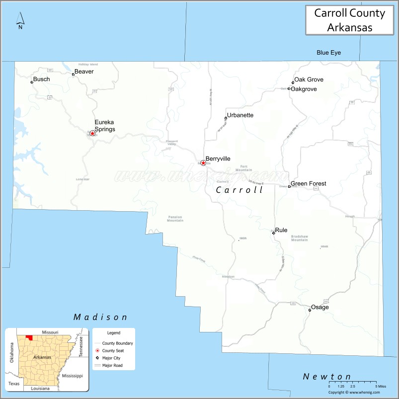
| Seat: | Berryville and Eureka Springs |
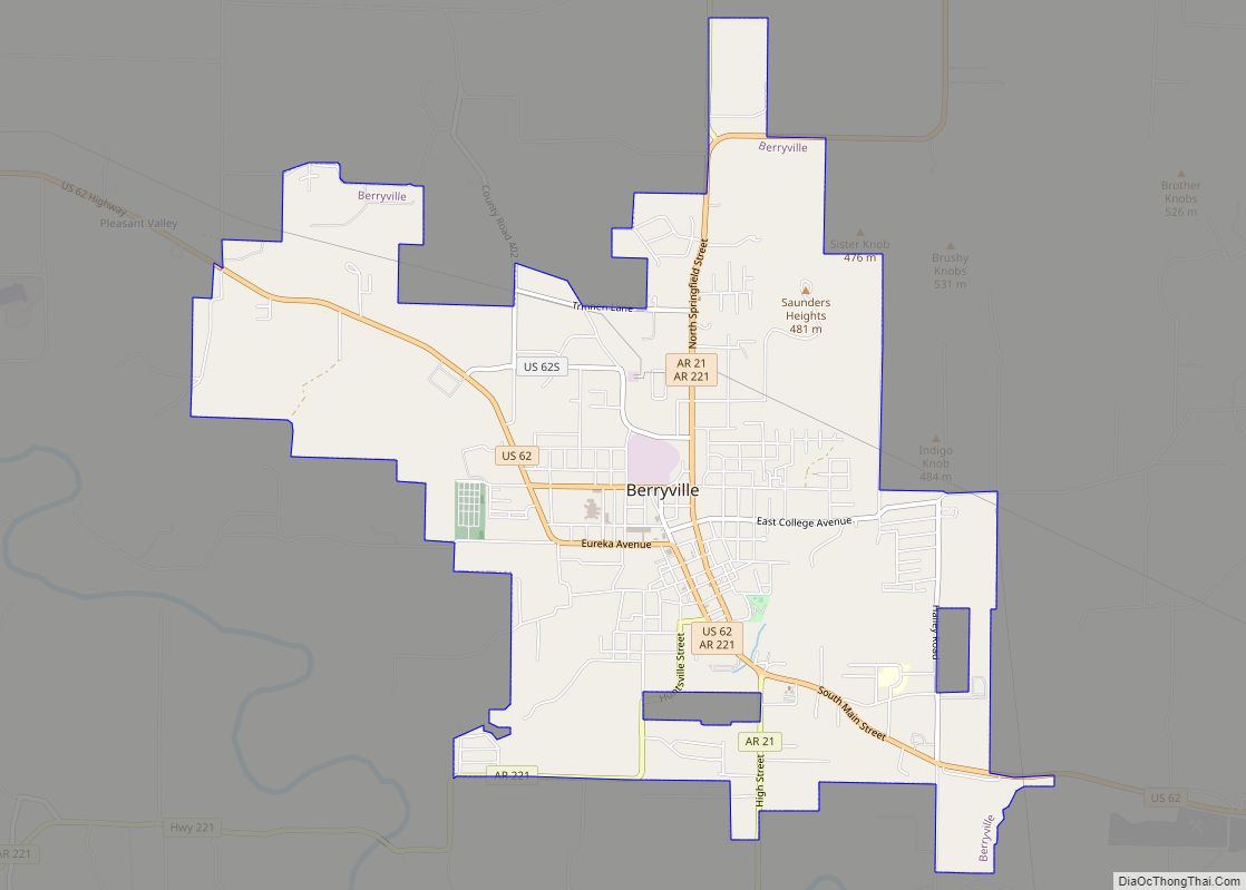
| Largest city: | Berryville |
| Total Area: | 639 sq mi (1,660 km²) |
| Land Area: | 630 sq mi (1,600 km²) |
| Total Population: | 28,260 |
| Population Density: | 44/sq mi (17/km²) |
| Time zone: | UTC−6 (Central) |
| Summer Time Zone (DST): | UTC−5 (CDT) |
| Website: | carrollcounty.us |
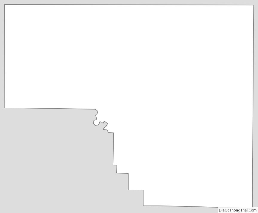
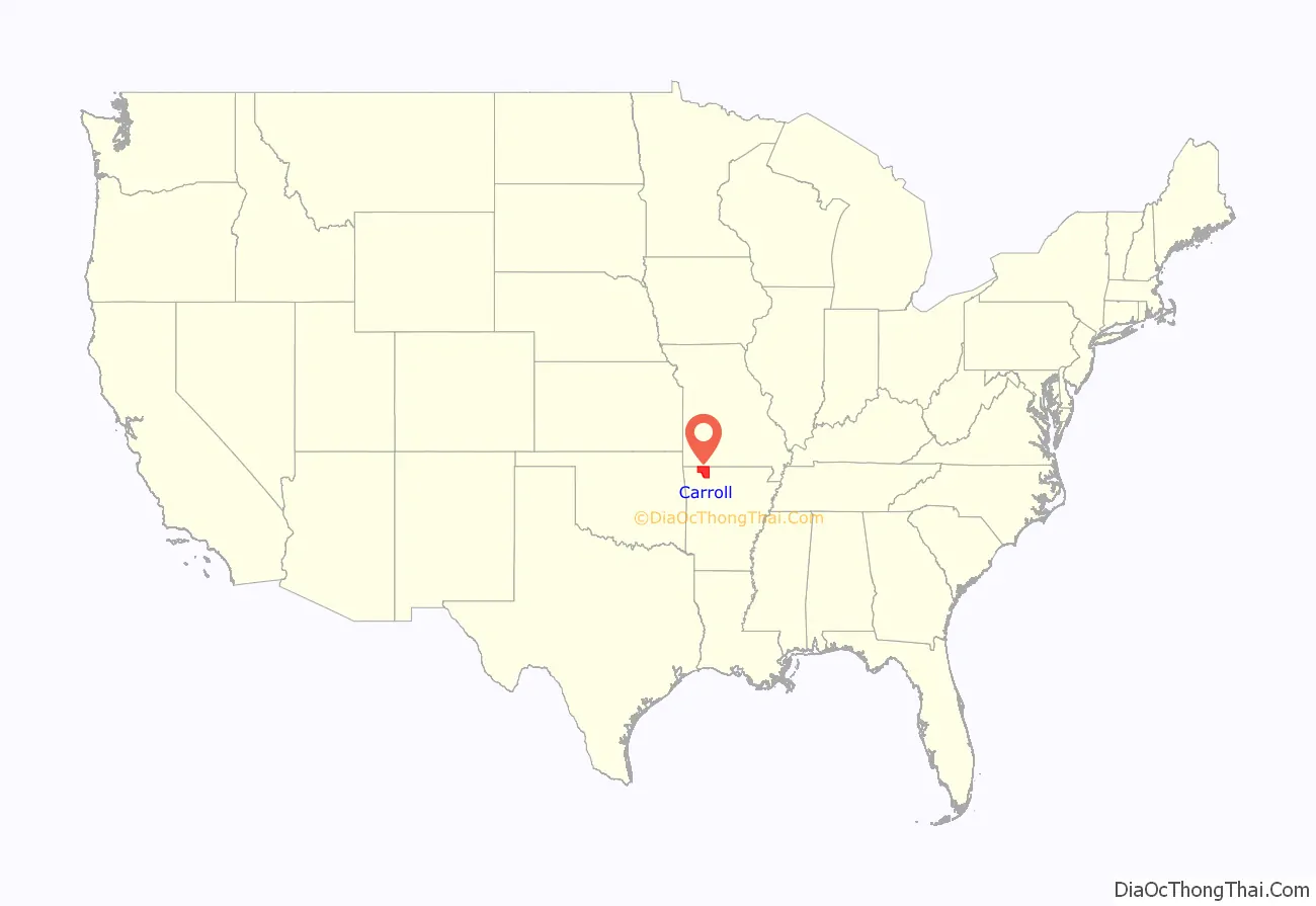
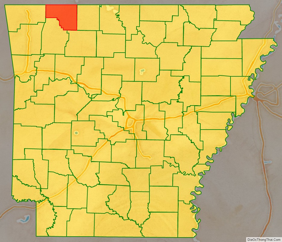
Carroll County location map. Where is Carroll County?
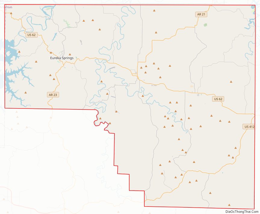
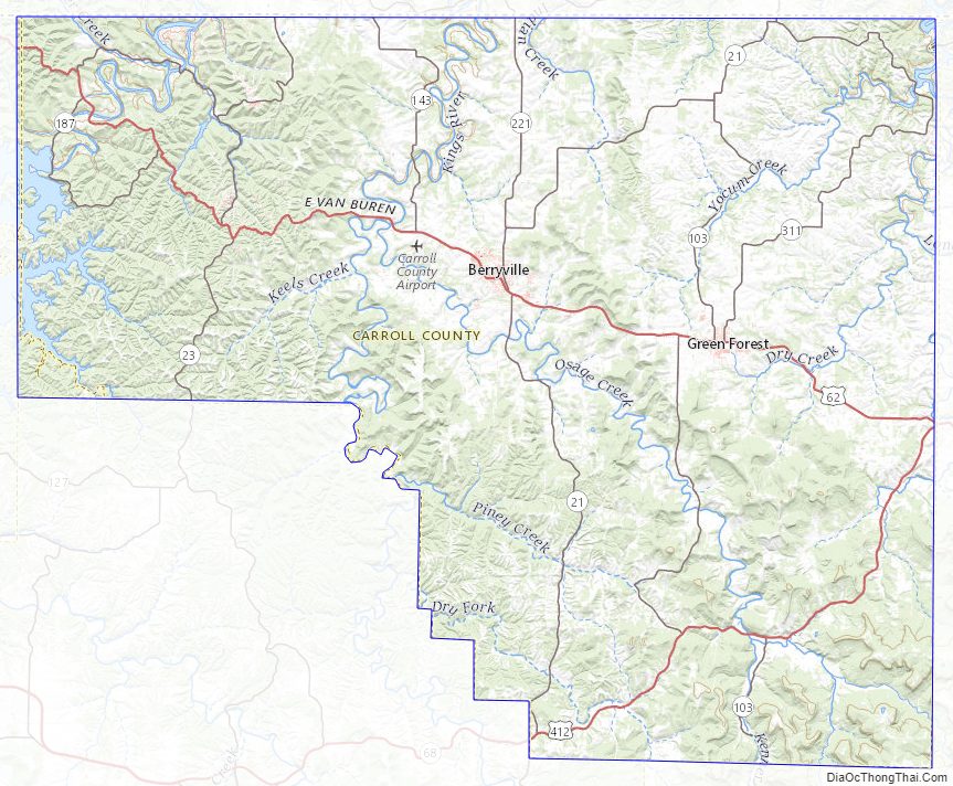
Carroll County Road Map
Geography
According to the U.S. Census Bureau, the county has a total area of 639 square miles (1,660 km), of which 630 square miles (1,600 km) is land and 8.7 square miles (23 km) (1.4%) is water.
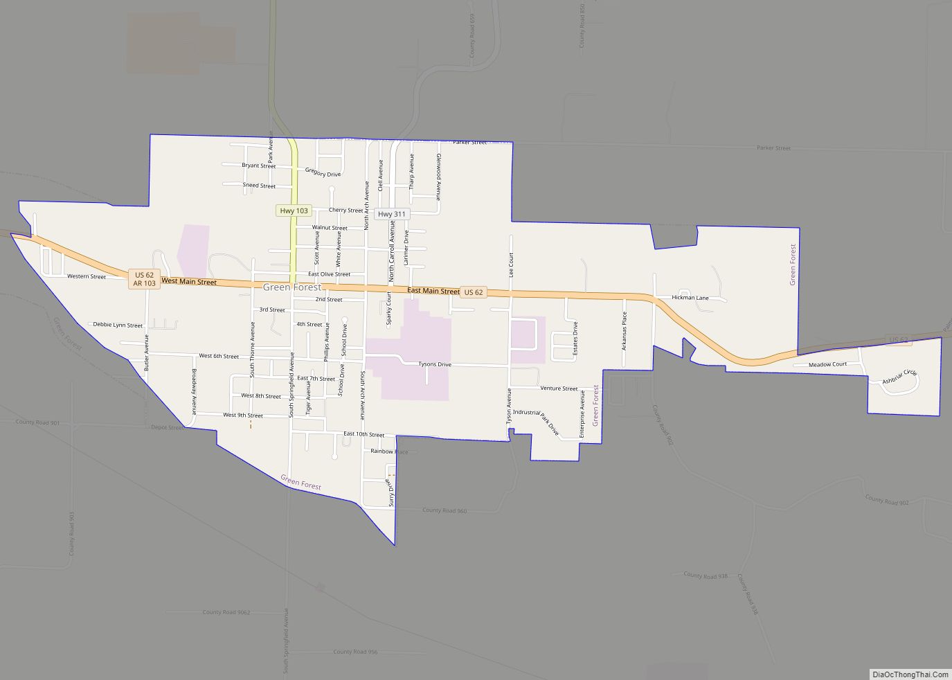
Major highways
- U.S. Highway 62
- U.S. Route 62 Spur
- U.S. Highway 412
- Arkansas Highway 21
- Arkansas Highway 23
- Arkansas Highway 103
- Arkansas Highway 143
- Arkansas Highway 187
- Arkansas Highway 221
- Arkansas Highway 311
- Arkansas Highway 980
Adjacent counties
- Stone County, Missouri (north)
- Taney County, Missouri (northeast)
- Boone County (east)
- Newton County (southeast)
- Madison County (south)
- Benton County (west)
- Barry County, Missouri (northwest)
Carroll County Topographic Map
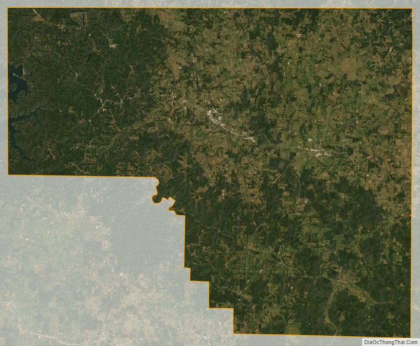
Carroll County Satellite Map
Carroll County Outline Map