Berryville (/ˈbʌr.əˌvʊl/ BURR-ə-vul) is a city in Carroll County, Arkansas, United States. The population was 5,682 at the 2020 census. making it the largest city in Carroll County. Along with Eureka Springs, it is one of the two county seats of Carroll County.
| Name: | Berryville city |
|---|---|
| LSAD Code: | 25 |
| LSAD Description: | city (suffix) |
| State: | Arkansas |
| County: | Carroll County |
| Founded: | 1851 |
| Elevation: | 1,243 ft (379 m) |
| Total Area: | 6.15 sq mi (15.93 km²) |
| Land Area: | 6.15 sq mi (15.93 km²) |
| Water Area: | 0.00 sq mi (0.00 km²) |
| Total Population: | 5,682 |
| Population Density: | 923.90/sq mi (356.70/km²) |
| ZIP code: | 72616 |
| Area code: | 870, exchange 423,480 |
| FIPS code: | 0505560 |
| Website: | berryvillear.gov |
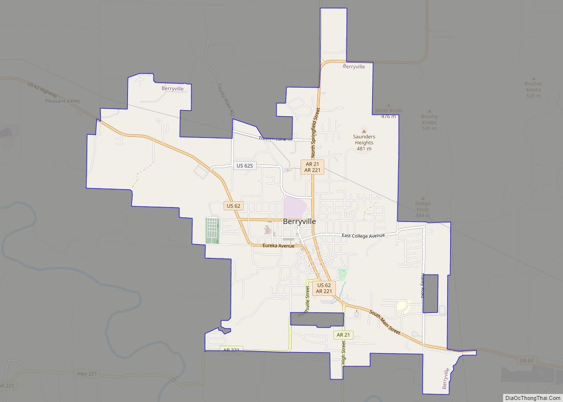
Online Interactive Map
Click on ![]() to view map in "full screen" mode.
to view map in "full screen" mode.
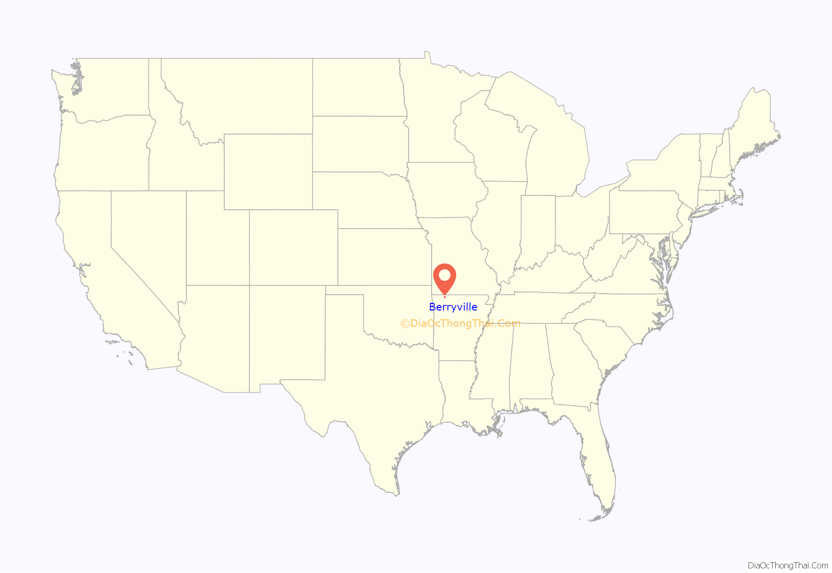
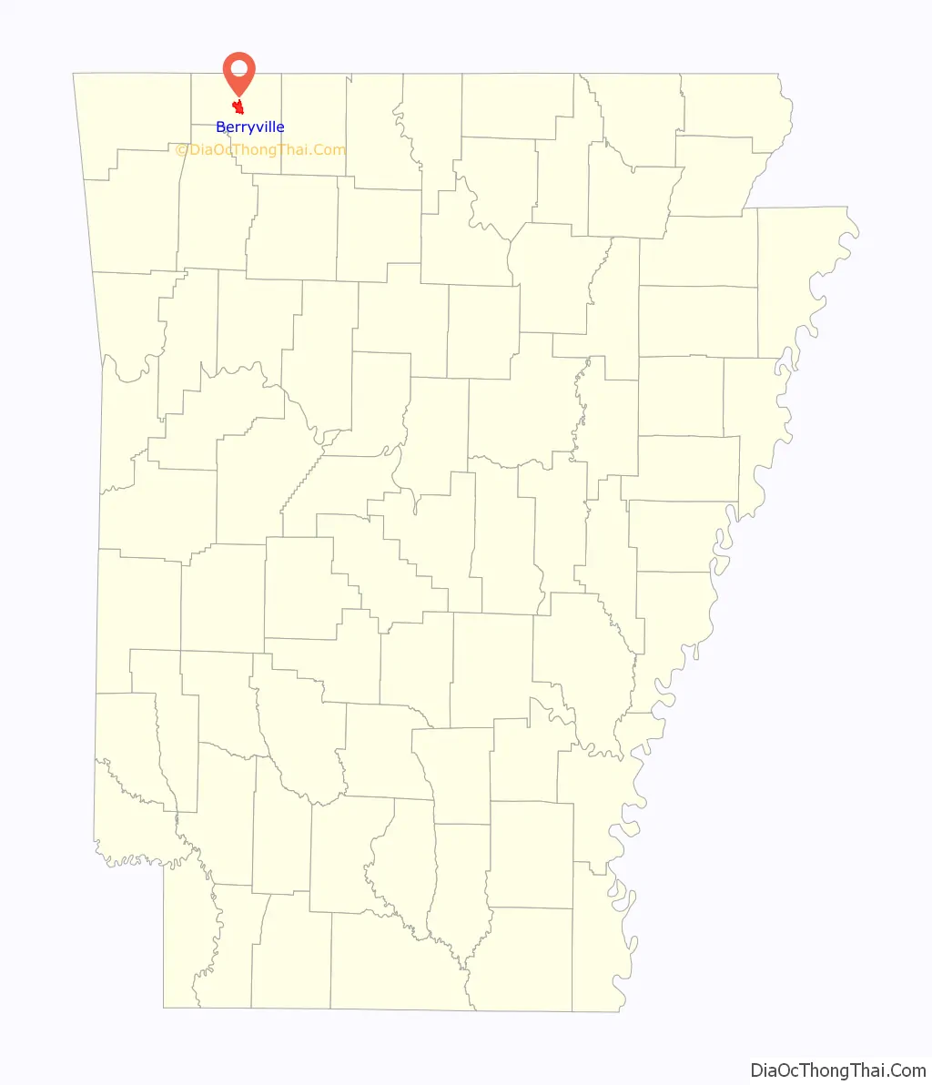
Berryville location map. Where is Berryville city?
History
Berryville was founded by local settler Blackburn Henderson Berry in 1850; his nephew James Henderson Berry would become the fourteenth governor of Arkansas in 1883. The city was incorporated in 1876.
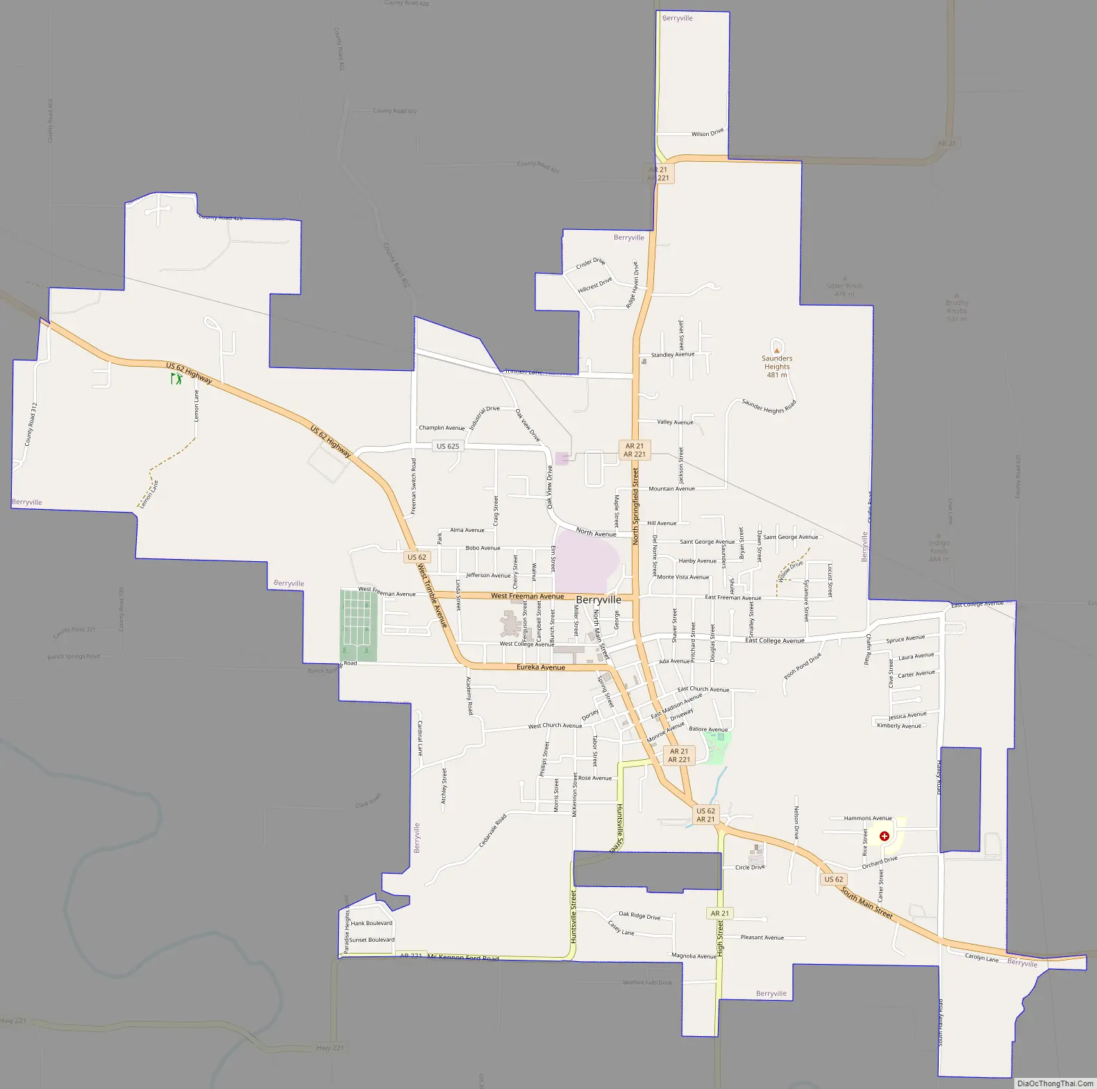
Berryville Road Map
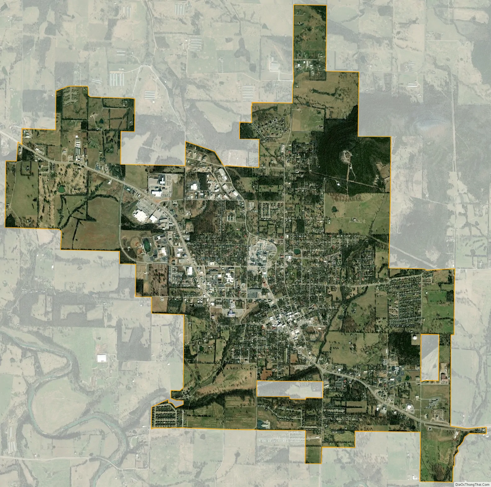
Berryville city Satellite Map
Geography
U.S. Route 62 passes through the center of the city, leading east 30 miles (48 km) to Harrison and west 46 miles (74 km) to Rogers. Eureka Springs is 12 miles (19 km) to the west on US 62. Arkansas Highway 21 leads north from Berryville 16 miles (26 km) to the Missouri line.
According to the United States Census Bureau, Berryville has a total area of 6.1 square miles (15.8 km), all land.
See also
Map of Arkansas State and its subdivision:- Arkansas
- Ashley
- Baxter
- Benton
- Boone
- Bradley
- Calhoun
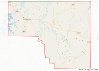
- Carroll
- Chicot
- Clark
- Clay
- Cleburne
- Cleveland
- Columbia
- Conway
- Craighead
- Crawford
- Crittenden
- Cross
- Dallas
- Desha
- Drew
- Faulkner
- Franklin
- Fulton
- Garland
- Grant
- Greene
- Hempstead
- Hot Spring
- Howard
- Independence
- Izard
- Jackson
- Jefferson
- Johnson
- Lafayette
- Lawrence
- Lee
- Lincoln
- Little River
- Logan
- Lonoke
- Madison
- Marion
- Miller
- Mississippi
- Monroe
- Montgomery
- Nevada
- Newton
- Ouachita
- Perry
- Phillips
- Pike
- Poinsett
- Polk
- Pope
- Prairie
- Pulaski
- Randolph
- Saint Francis
- Saline
- Scott
- Searcy
- Sebastian
- Sevier
- Sharp
- Stone
- Union
- Van Buren
- Washington
- White
- Woodruff
- Yell
- Alabama
- Alaska
- Arizona
- Arkansas
- California
- Colorado
- Connecticut
- Delaware
- District of Columbia
- Florida
- Georgia
- Hawaii
- Idaho
- Illinois
- Indiana
- Iowa
- Kansas
- Kentucky
- Louisiana
- Maine
- Maryland
- Massachusetts
- Michigan
- Minnesota
- Mississippi
- Missouri
- Montana
- Nebraska
- Nevada
- New Hampshire
- New Jersey
- New Mexico
- New York
- North Carolina
- North Dakota
- Ohio
- Oklahoma
- Oregon
- Pennsylvania
- Rhode Island
- South Carolina
- South Dakota
- Tennessee
- Texas
- Utah
- Vermont
- Virginia
- Washington
- West Virginia
- Wisconsin
- Wyoming