Alpena /ælˈpiːnə/ is a town in Boone and Carroll counties in the U.S. state of Arkansas. The population was 374 at the 2020 census.
The Boone County portion of Alpena is part of the Harrison Micropolitan Statistical Area.
| Name: | Alpena town |
|---|---|
| LSAD Code: | 43 |
| LSAD Description: | town (suffix) |
| State: | Arkansas |
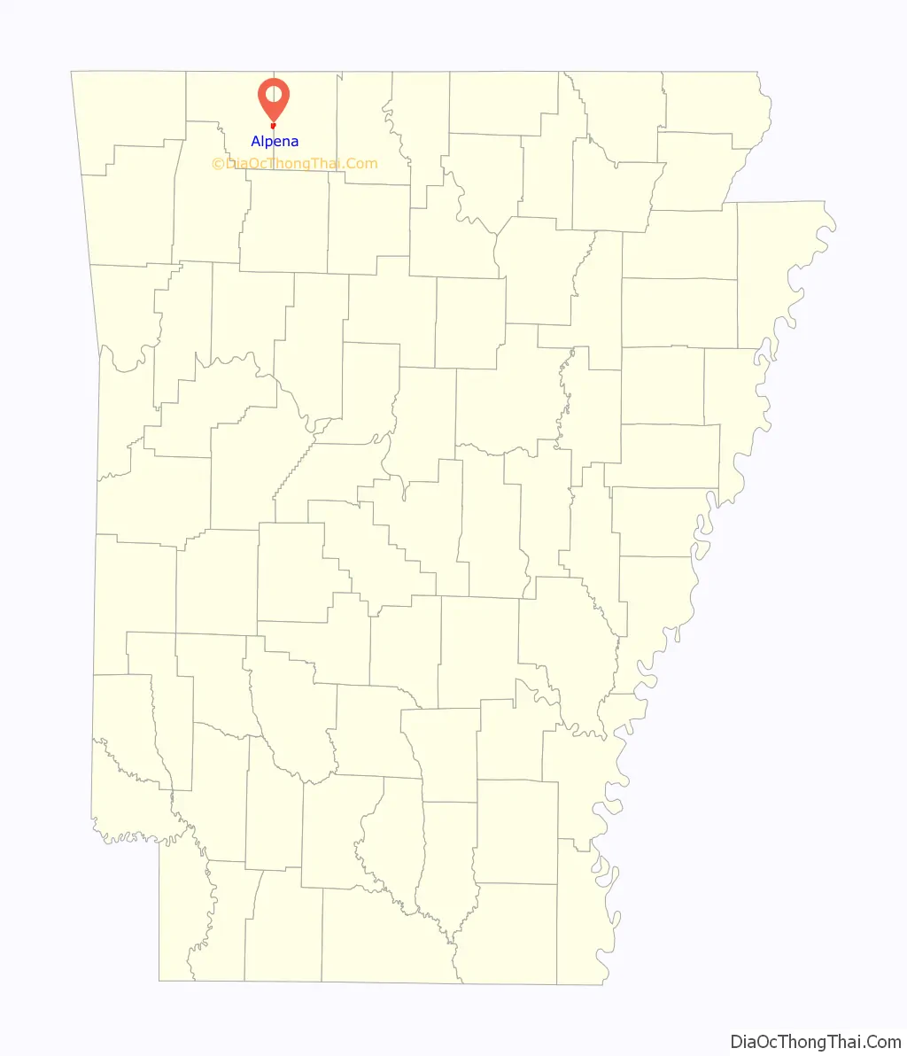
| County: | Boone County, Carroll County |
| Elevation: | 1,142 ft (348 m) |
| Total Area: | 1.34 sq mi (3.47 km²) |
| Land Area: | 1.33 sq mi (3.45 km²) |
| Water Area: | 0.01 sq mi (0.01 km²) |
| Total Population: | 374 |
| Population Density: | 280.57/sq mi (108.36/km²) |
| ZIP code: | 72611 |
| Area code: | 870 |
| FIPS code: | 0501060 |
| GNISfeature ID: | 0076166 |
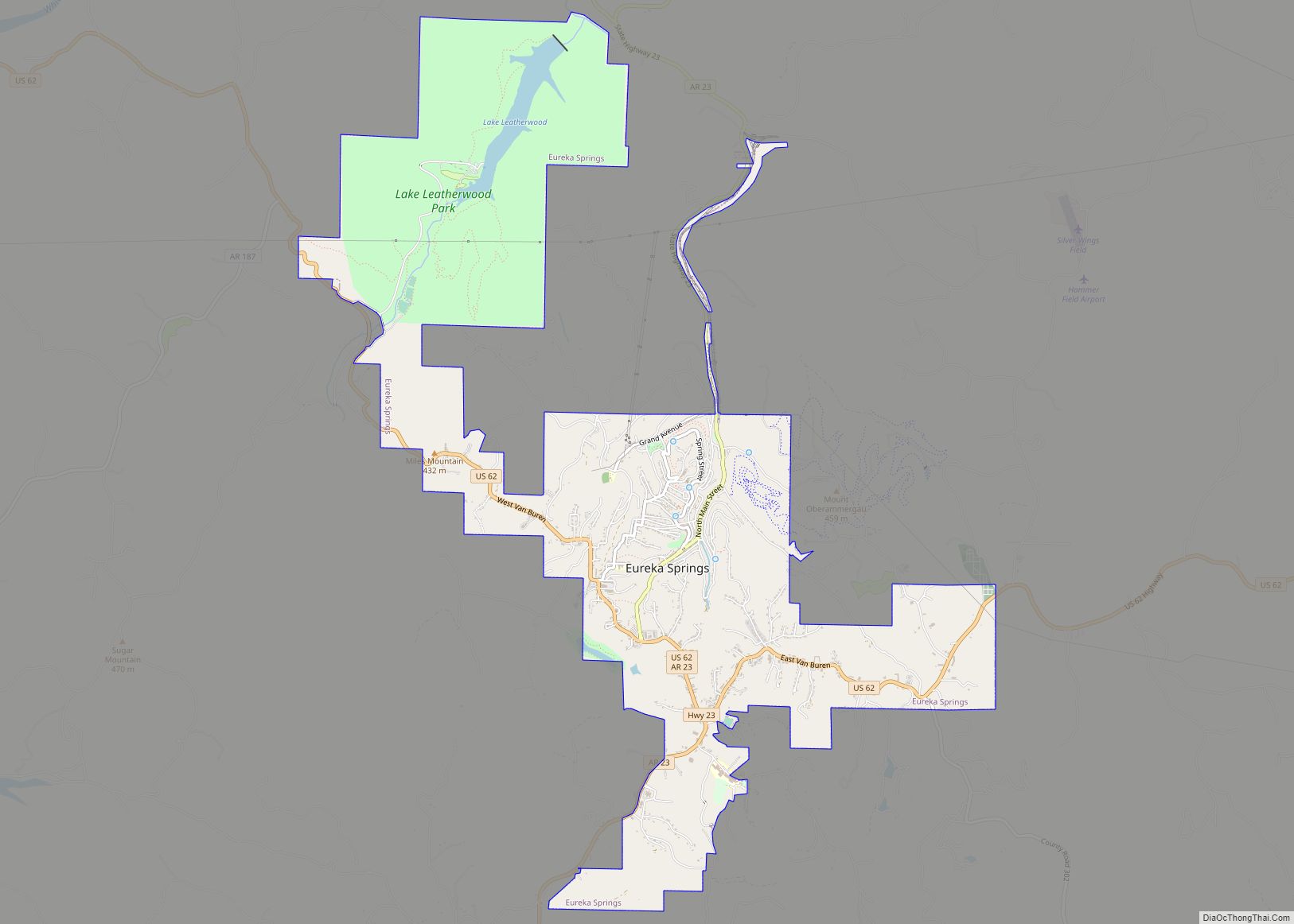
Online Interactive Map
Click on ![]() to view map in "full screen" mode.
to view map in "full screen" mode.
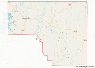
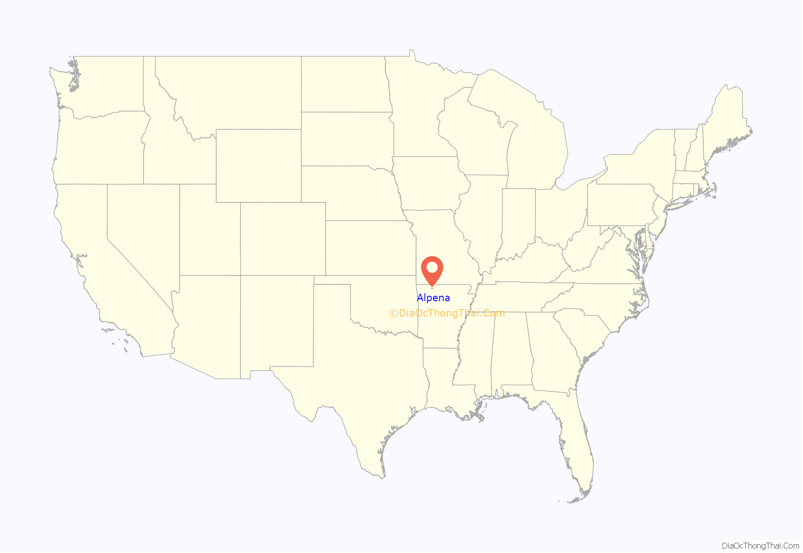
Alpena location map. Where is Alpena town?
History
Alpena Pass was founded in 1908 on top of a graveyard shortly after the Missouri and North Arkansas Railroad was built through Boone County. In the 1950s, the word “pass” was dropped from the name, thus creating the current name, Alpena.
At the time of the town’s founding, the town of Carrollton was in decline. Many of the buildings of Carrollton were disassembled, moved and reassembled at Alpena Pass. MADtv’s Rice and Beans Tour once came through the town, doing a tongue-in-cheek exposé about rural America. They encountered a seemingly drug-intoxicated woman and had an interview with the “mayor”.
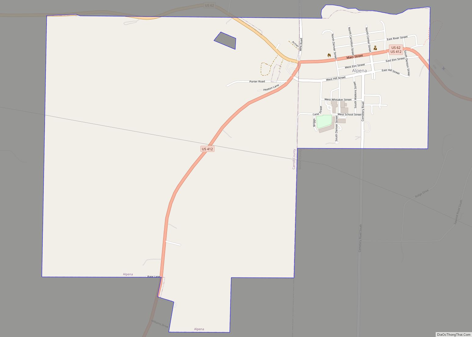
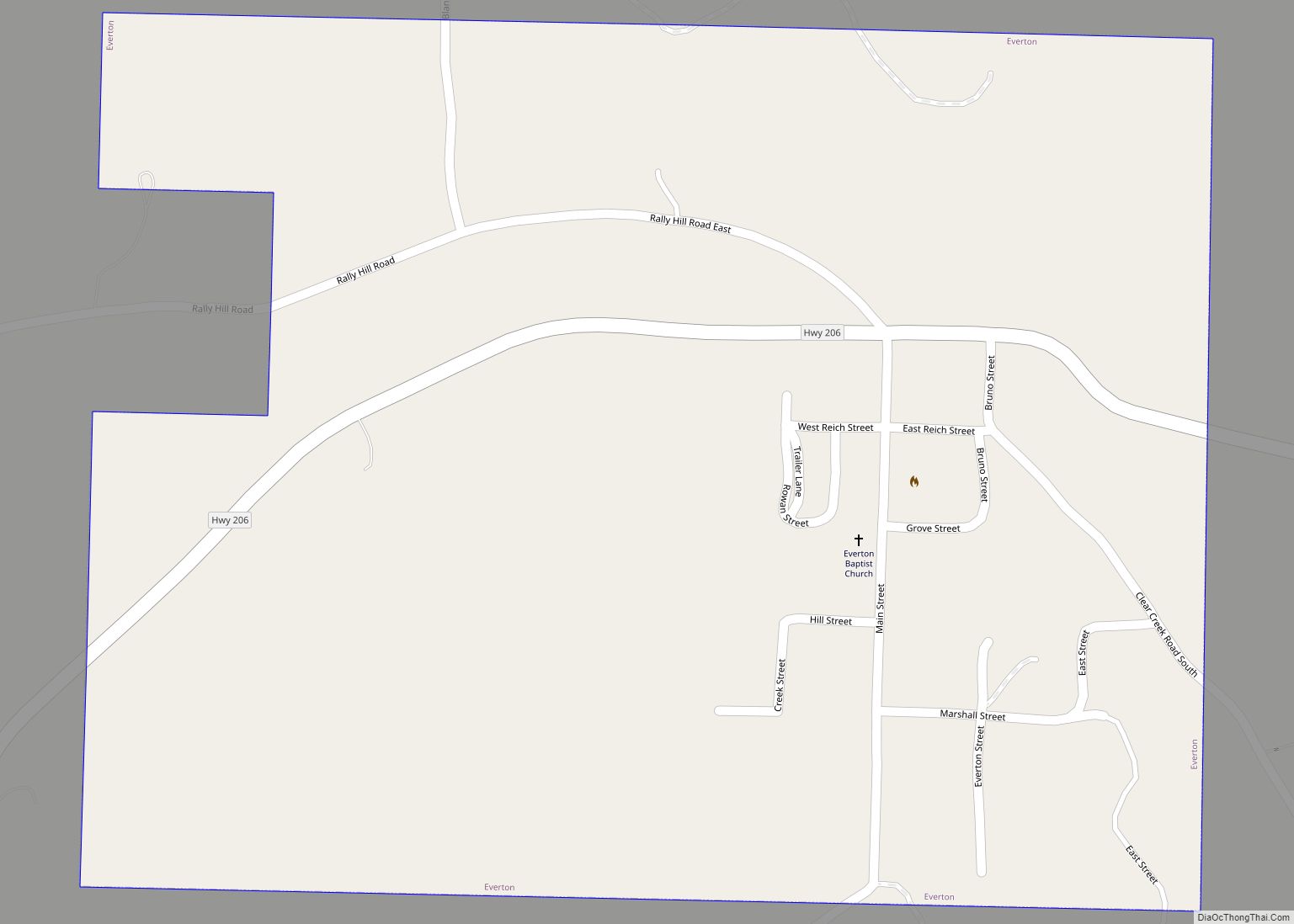
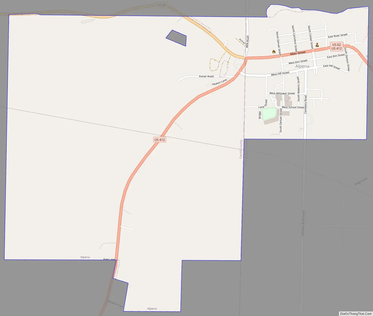
Alpena Road Map
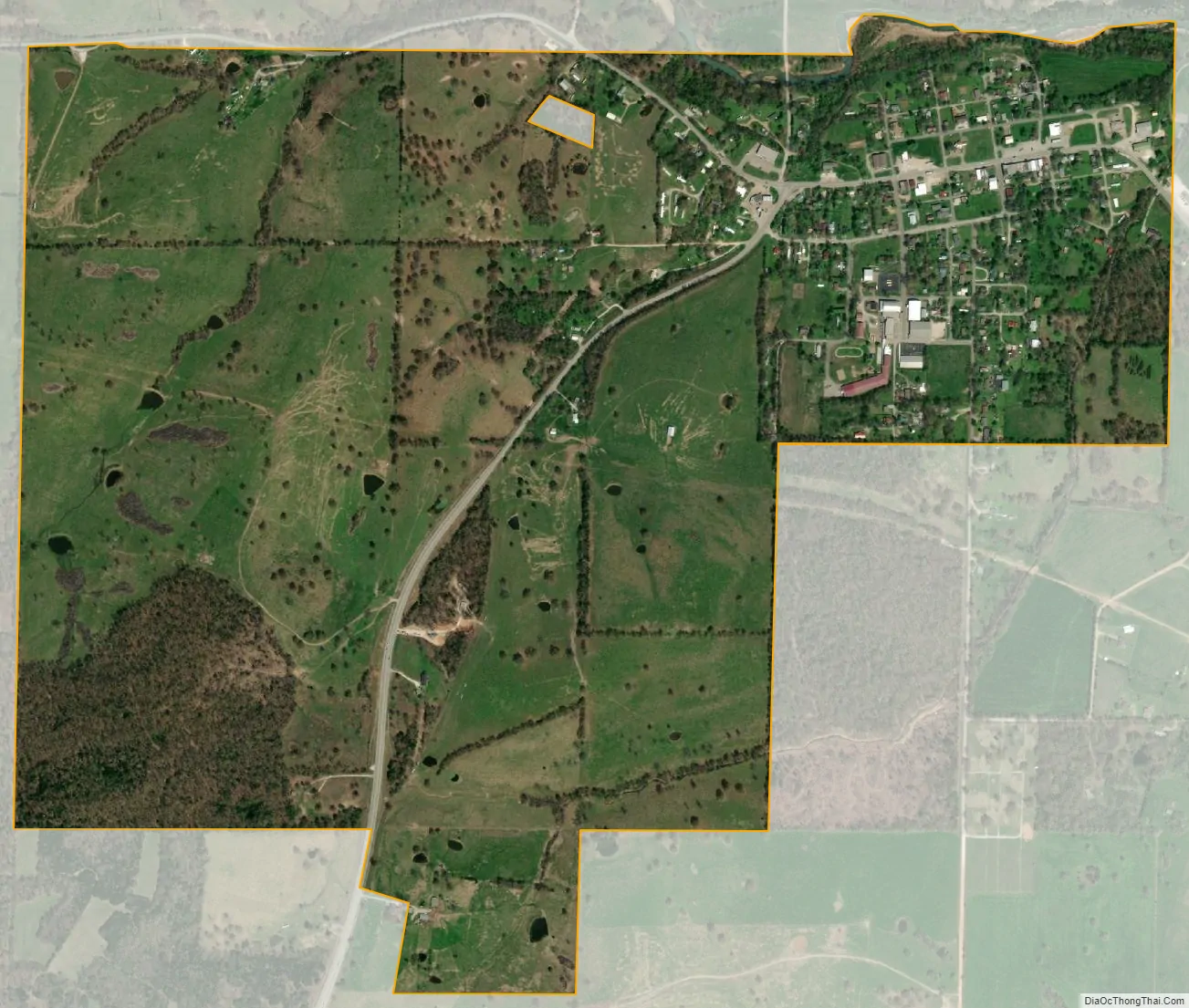
Alpena city Satellite Map
Geography
Alpena is located at 36°17′37″N 93°17′46″W / 36.293713°N 93.296233°W / 36.293713; -93.296233.
According to the United States Census Bureau, the town has a total area of 3.5 km (1.4 mi), all land.
Major highways
- U.S. Highway 62
- US 412
See also
Map of Arkansas State and its subdivision:- Arkansas
- Ashley
- Baxter
- Benton
- Boone
- Bradley
- Calhoun
- Carroll
- Chicot
- Clark
- Clay
- Cleburne
- Cleveland
- Columbia
- Conway
- Craighead
- Crawford
- Crittenden
- Cross
- Dallas
- Desha
- Drew
- Faulkner
- Franklin
- Fulton
- Garland
- Grant
- Greene
- Hempstead
- Hot Spring
- Howard
- Independence
- Izard
- Jackson
- Jefferson
- Johnson
- Lafayette
- Lawrence
- Lee
- Lincoln
- Little River
- Logan
- Lonoke
- Madison
- Marion
- Miller
- Mississippi
- Monroe
- Montgomery
- Nevada
- Newton
- Ouachita
- Perry
- Phillips
- Pike
- Poinsett
- Polk
- Pope
- Prairie
- Pulaski
- Randolph
- Saint Francis
- Saline
- Scott
- Searcy
- Sebastian
- Sevier
- Sharp
- Stone
- Union
- Van Buren
- Washington
- White
- Woodruff
- Yell
- Alabama
- Alaska
- Arizona
- Arkansas
- California
- Colorado
- Connecticut
- Delaware
- District of Columbia
- Florida
- Georgia
- Hawaii
- Idaho
- Illinois
- Indiana
- Iowa
- Kansas
- Kentucky
- Louisiana
- Maine
- Maryland
- Massachusetts
- Michigan
- Minnesota
- Mississippi
- Missouri
- Montana
- Nebraska
- Nevada
- New Hampshire
- New Jersey
- New Mexico
- New York
- North Carolina
- North Dakota
- Ohio
- Oklahoma
- Oregon
- Pennsylvania
- Rhode Island
- South Carolina
- South Dakota
- Tennessee
- Texas
- Utah
- Vermont
- Virginia
- Washington
- West Virginia
- Wisconsin
- Wyoming