Cass County is a county located in the U.S. state of Indiana. As of the 2010 United States Census, its population was 38,966. The county seat is Logansport. Cass County comprises the Logansport, IN Micropolitan Statistical Area.
| Name: | Cass County |
|---|---|
| FIPS code: | 18-017 |
| State: | Indiana |
| Founded: | 1829 |
| Named for: | Lewis Cass |
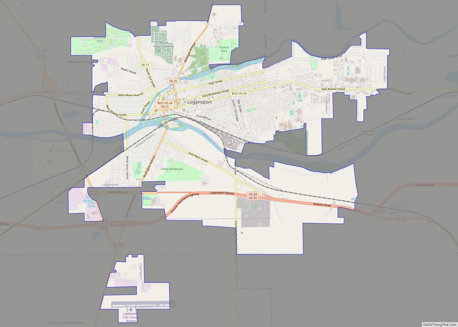
| Seat: | Logansport |
| Largest city: | Logansport |
| Total Area: | 414.85 sq mi (1,074.5 km²) |
| Land Area: | 412.16 sq mi (1,067.5 km²) |
| Population Density: | 92.1/sq mi (35.6/km²) |
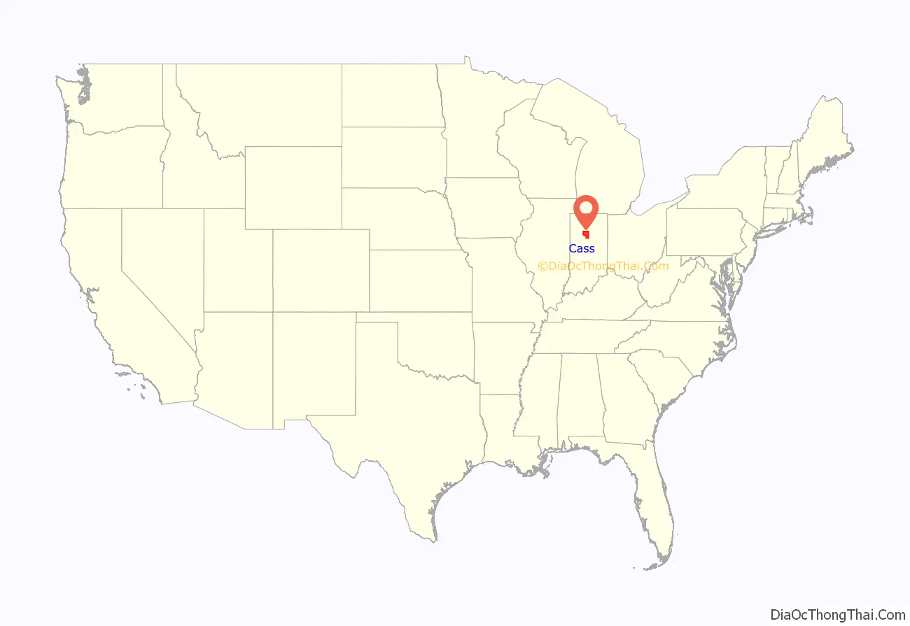
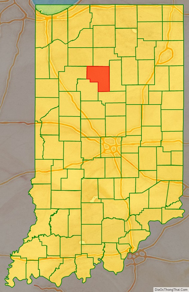
Cass County location map. Where is Cass County?
History
Cass County was formed in 1828. It is named for Gen. Lewis Cass, 2nd Territorial Governor of Michigan and later U.S. Secretary of War under President Andrew Jackson.
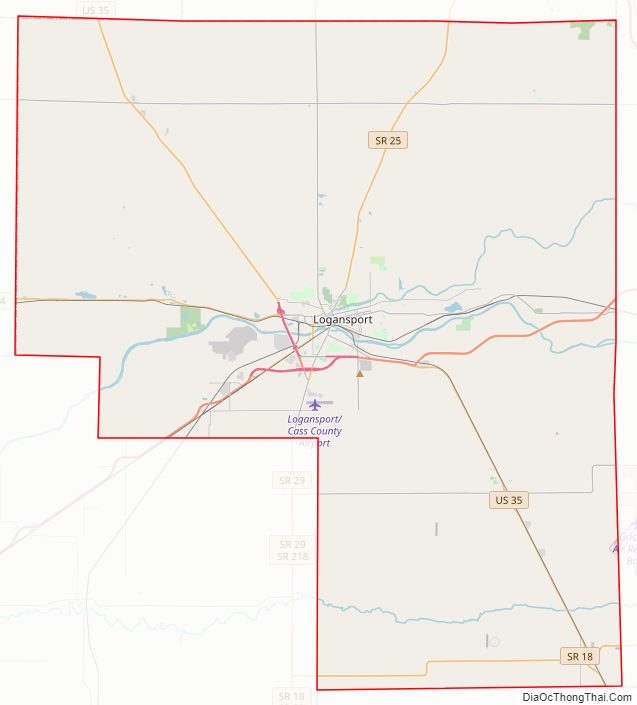
Cass County Road Map
Geography
According to the 2010 census, the county has a total area of 414.85 square miles (1,074.5 km) of which 412.16 square miles (1,067.5 km) (or 99.35%) is land and 2.69 square miles (7.0 km) (or 0.65%) is water. The Wabash River flows westward through the county, and is joined by the Eel River in Logansport.
Adjacent counties
- Fulton County – north
- Miami County – east
- Howard County – south
- Carroll County – southwest
- White County – west
- Pulaski County – northwest
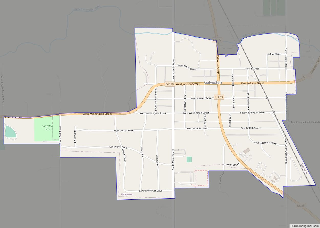
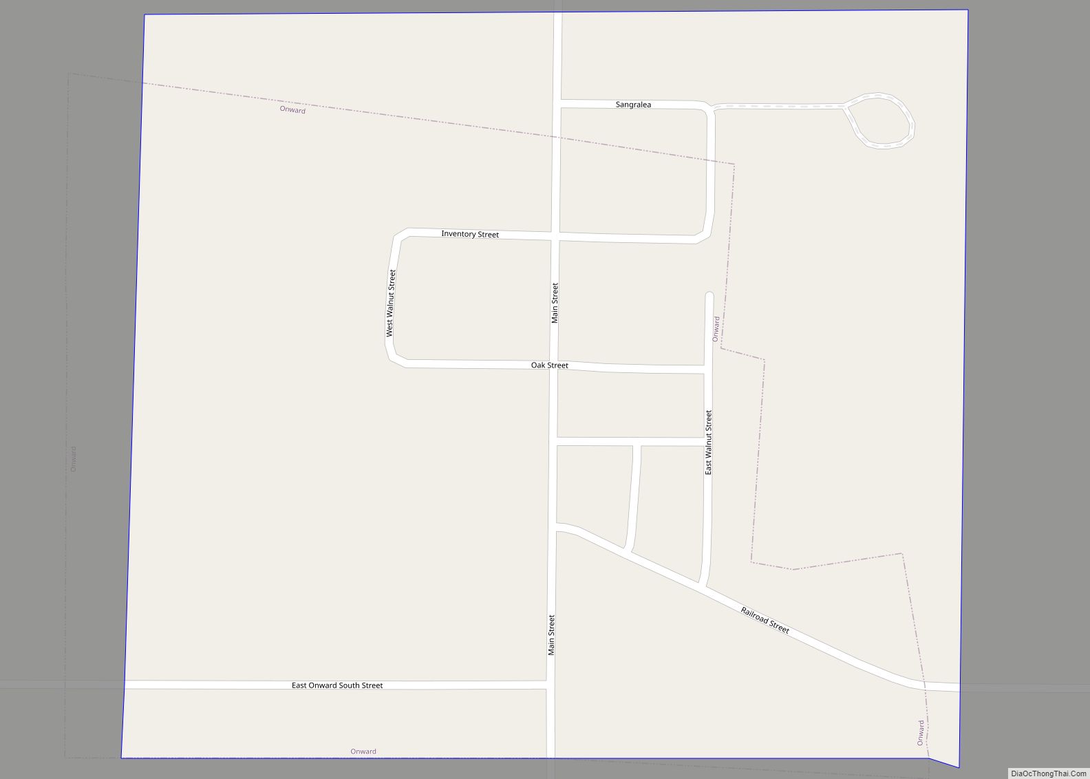
City
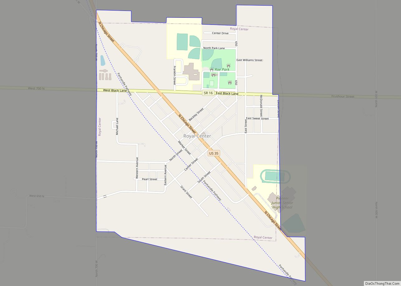
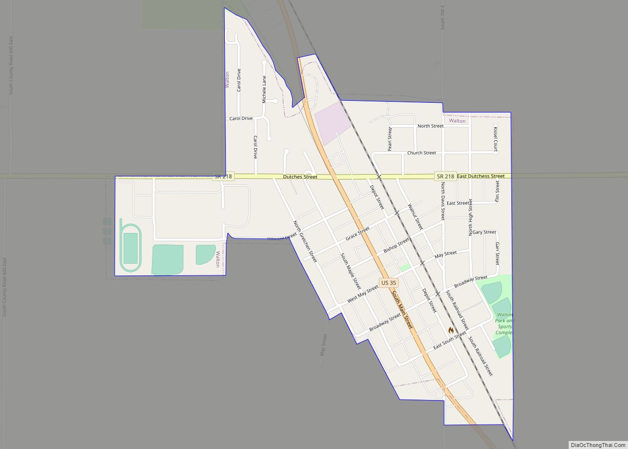
Towns
Census-designated place
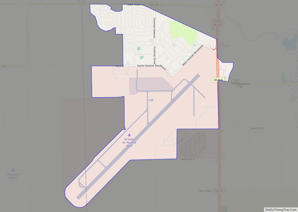
- Grissom AFB (mostly in Miami Co.)
Unincorporated places
- Adamsboro
- Anoka
- Clymers
- Deacon
- Dunkirk
- Georgetown
- Hoover
- Kenneth
- Lake Cicott
- Lewisburg
- Lincoln
- Lucerne
- Metea
- Miami Bend
- Mount Pleasant
- New Waverly
- Potawatomi Point
- Twelve Mile
- Young America
Extinct towns
- Circleville
- Taberville (absorbed into Logansport)
- Taberville (Actually OP Taberville platted in 1853, located on the south side of Logansport)
Townships
- Adams
- Bethlehem
- Boone
- Clay
- Clinton
- Deer Creek
- Eel
- Harrison
- Jackson
- Jefferson
- Miami
- Noble
- Tipton
- Washington
Major highways
- U.S. Route 24
- U.S. Route 35
- Indiana State Road 16
- Indiana State Road 17
- Indiana State Road 18
- Indiana State Road 25
- Indiana State Road 29
- Indiana State Road 218
Railroads
- Norfolk Southern Railway
- Winamac Southern Railroad
- Logansport and Eel River Shortline Company
- Toledo, Peoria and Western Railway
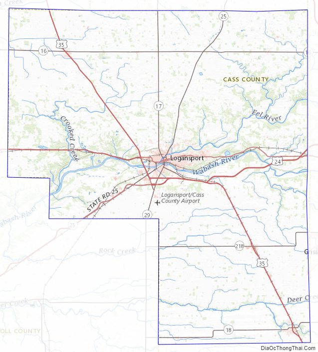
Cass County Topographic Map
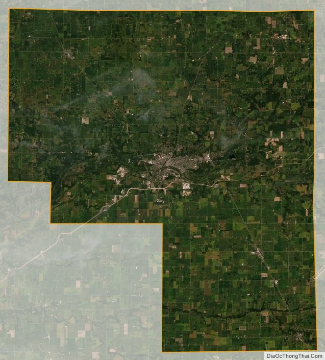
Cass County Satellite Map
Cass County Outline Map