Pulaski County (/pʊˈlæskaɪ/ pə-ˈlæ-ski) is a county located in the U.S. state of Indiana. According to the 2010 U.S. census, the population was 13,402. The county seat is Winamac.
| Name: | Pulaski County |
|---|---|
| FIPS code: | 18-131 |
| State: | Indiana |
| Named for: | Count Casimir Pulaski |
| Largest town: | Winamac (population and total area) |
| Total Area: | 434.53 sq mi (1,125.4 km²) |
| Land Area: | 433.65 sq mi (1,123.1 km²) |
| Total Population: | 13,402 |
| Population Density: | 30.9/sq mi (11.9/km²) |
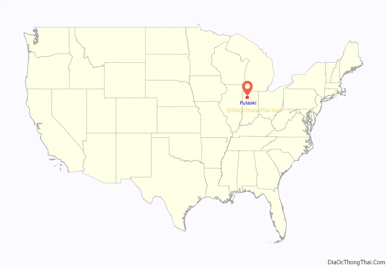
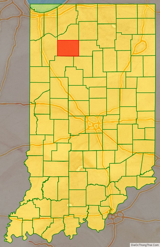
Pulaski County location map. Where is Pulaski County?
History
Pulaski County was organized in 1835.
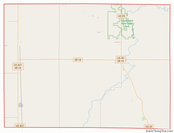
Pulaski County Road Map
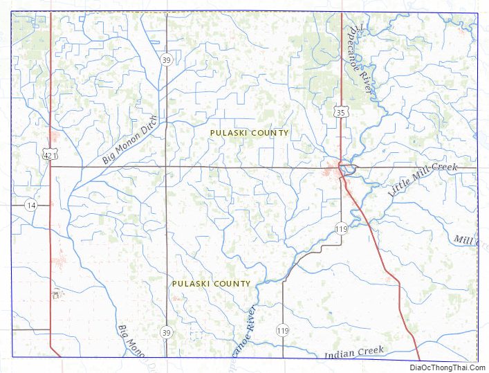
Geography
According to the 2010 census, the county has a total area of 434.53 square miles (1,125.4 km), of which 433.65 square miles (1,123.1 km) (or 99.80%) is land and 0.88 square miles (2.3 km) (or 0.20%) is water.
Major highways
- U.S. Route 35
- U.S. Route 421
- Indiana State Road 14
- Indiana State Road 39
- Indiana State Road 114
- Indiana State Road 119
- Indiana State Road 143
Railroads
- CSX Transportation
Adjacent counties
- Starke County (north)
- Marshall County (northeast)
- Fulton County (east)
- Cass County (southeast)
- White County (south)
- Jasper County (west)
Pulaski County Topographic Map
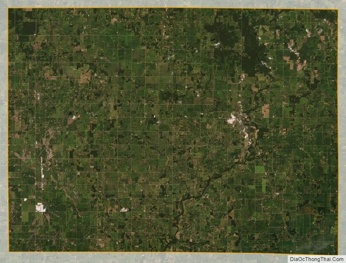
Pulaski County Satellite Map
Pulaski County Outline Map