Cavalier is the largest city in Pembina County, North Dakota, United States. It is the county seat of Pembina County. The population was 1,246 at the 2020 census. Cavalier was founded in 1875 and became the county seat in 1911.
Although they bear the same name, Cavalier is not located in nearby Cavalier County. The Tongue River flows past Cavalier and Cavalier Air Force Station is located near the city.
| Name: | Cavalier city |
|---|---|
| LSAD Code: | 25 |
| LSAD Description: | city (suffix) |
| State: | North Dakota |
| County: | Pembina County |
| Elevation: | 886 ft (270 m) |
| Total Area: | 0.86 sq mi (2.23 km²) |
| Land Area: | 0.86 sq mi (2.23 km²) |
| Water Area: | 0.00 sq mi (0.00 km²) |
| Total Population: | 1,246 |
| Population Density: | 1,447.15/sq mi (558.46/km²) |
| ZIP code: | 58220 |
| Area code: | 701 |
| FIPS code: | 3812940 |
| GNISfeature ID: | 1028302 |
| Website: | cavaliernd.com |
Online Interactive Map
Click on ![]() to view map in "full screen" mode.
to view map in "full screen" mode.
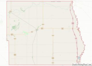
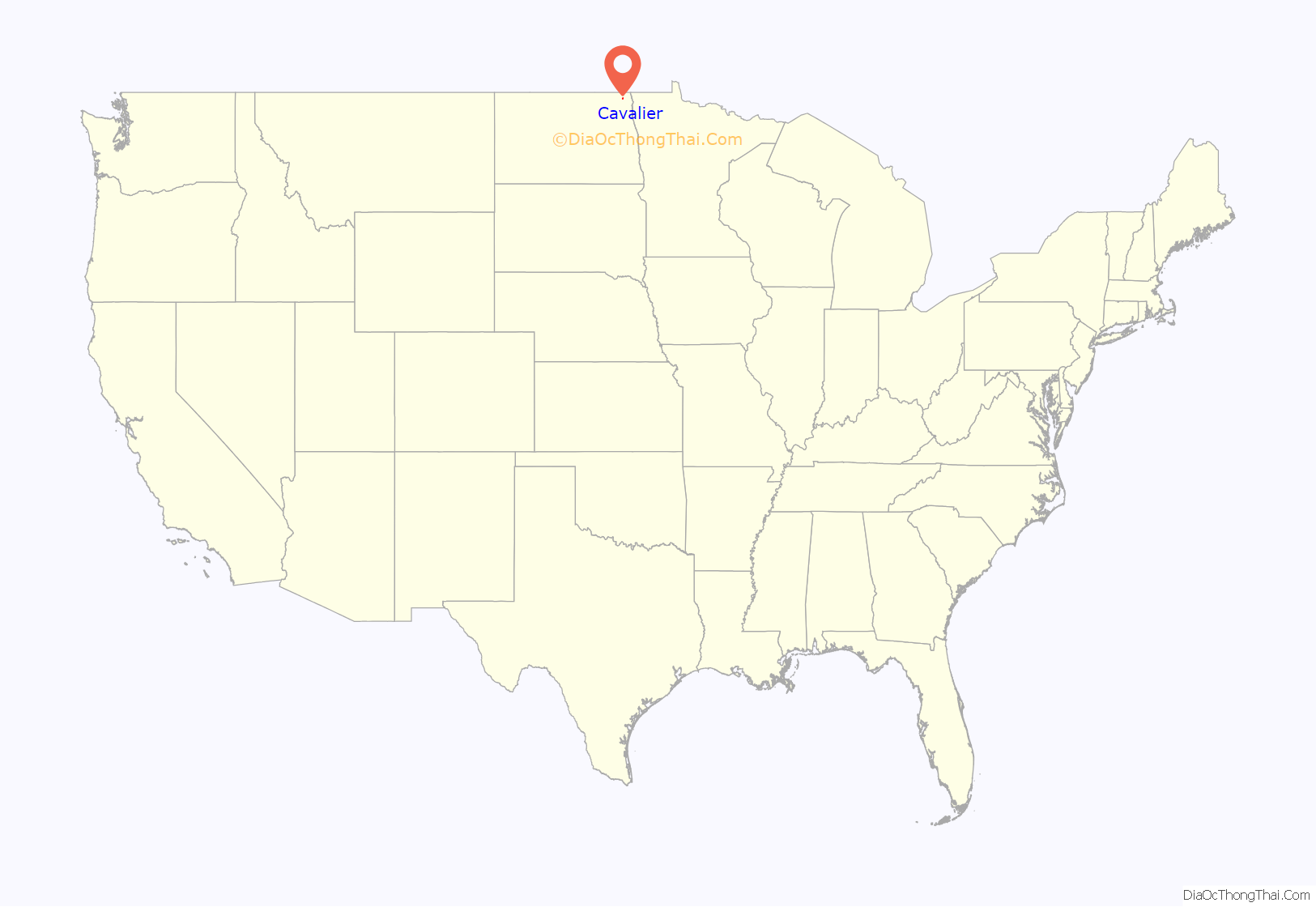
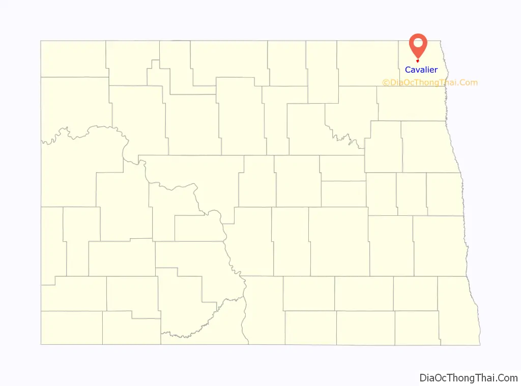
Cavalier location map. Where is Cavalier city?
History
Cavalier was laid out in 1875 on open land. The city was named for Charles Cavileer, an early settler in Pembina County (a recording error accounts for the error in spelling, which was never corrected). A post office has been in operation at Cavalier since 1877. Cavalier was incorporated in 1902.
In the early 1970s, the city of Cavalier’s population quadrupled in size due to the U.S.’ anti ballistic missile program. This was in preparation of a nuclear attack on the U.S. during the Cold War with the Soviet Union.
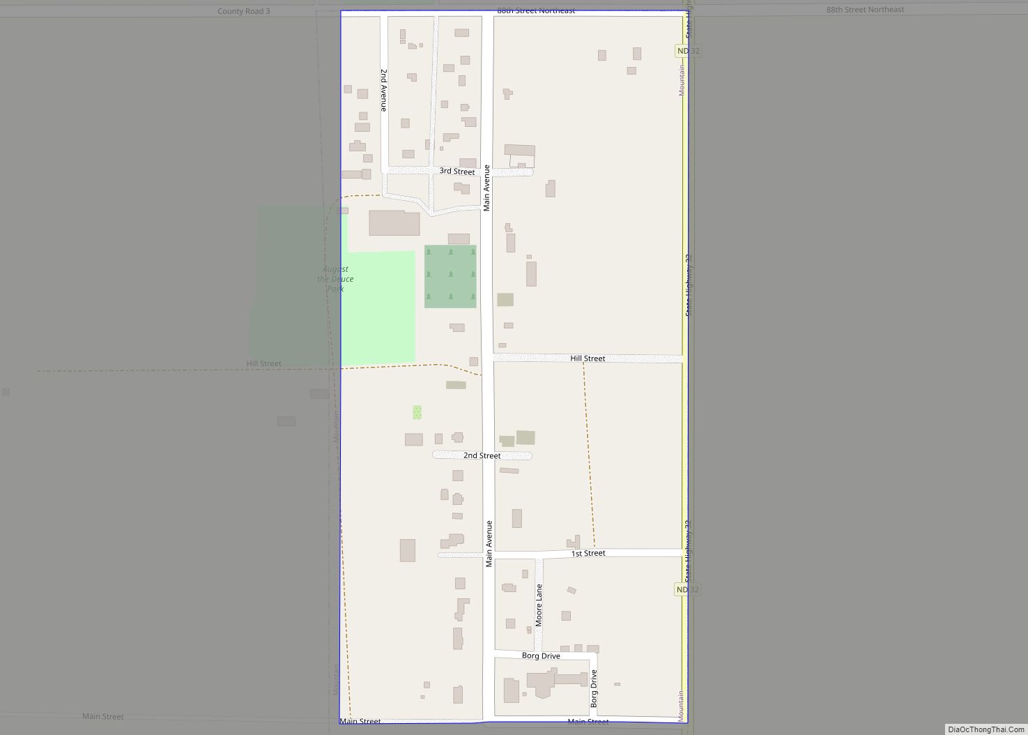
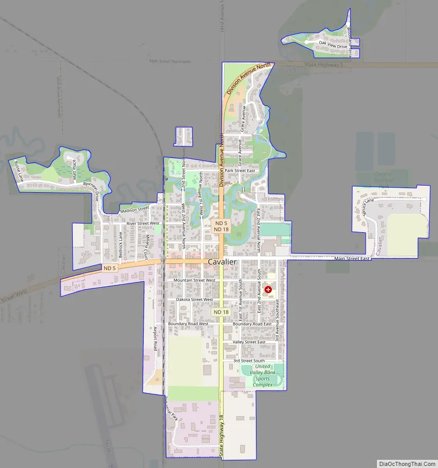
Cavalier Road Map
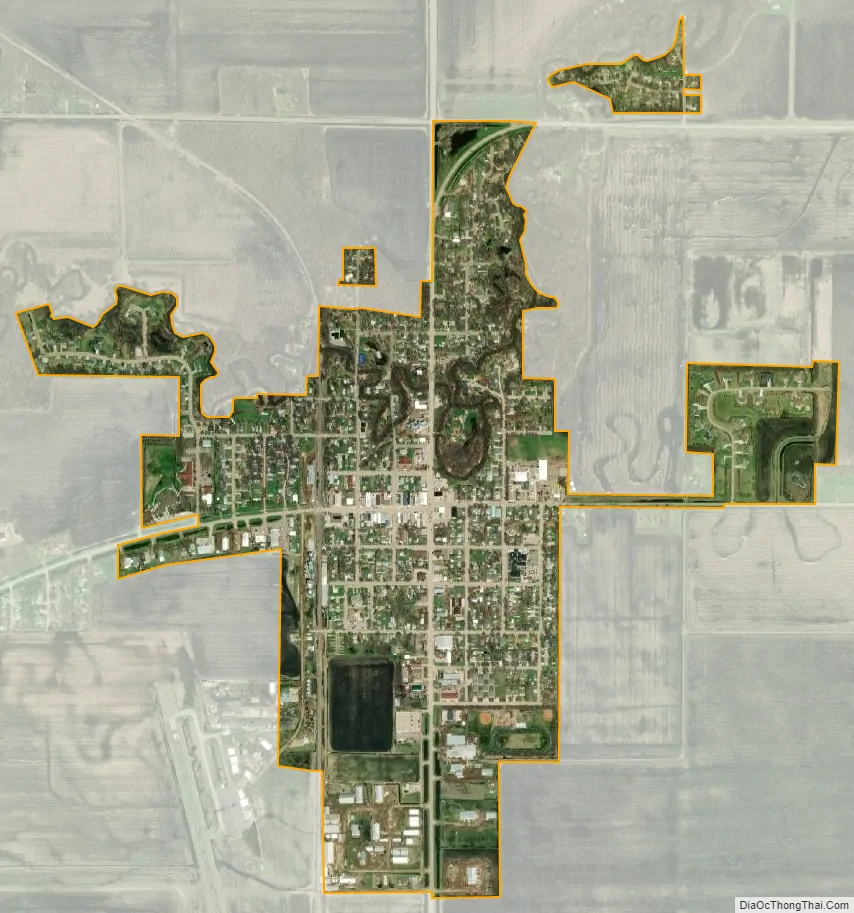
Cavalier city Satellite Map
Geography
Cavalier is located at 48°47′43″N 97°37′24″W / 48.79528°N 97.62333°W / 48.79528; -97.62333 (48.795416, −97.623259).
According to the United States Census Bureau, the city has a total area of 0.82 square miles (2.12 km), all land.
Cavalier has a warm-summer humid continental climate (Koppen: Dwb). Summers are warm, sometimes hot, while winters are very cold, sometimes severely cold. Precipitation is mostly confined to late spring into early fall and peaks in June. Winter is very dry with little precipitation, almost always in the form of snow.
See also
Map of North Dakota State and its subdivision:- Adams
- Barnes
- Benson
- Billings
- Bottineau
- Bowman
- Burke
- Burleigh
- Cass
- Cavalier
- Dickey
- Divide
- Dunn
- Eddy
- Emmons
- Foster
- Golden Valley
- Grand Forks
- Grant
- Griggs
- Hettinger
- Kidder
- Lamoure
- Logan
- McHenry
- McIntosh
- McKenzie
- McLean
- Mercer
- Morton
- Mountrail
- Nelson
- Oliver
- Pembina
- Pierce
- Ramsey
- Ransom
- Renville
- Richland
- Rolette
- Sargent
- Sheridan
- Sioux
- Slope
- Stark
- Steele
- Stutsman
- Towner
- Traill
- Walsh
- Ward
- Wells
- Williams
- Alabama
- Alaska
- Arizona
- Arkansas
- California
- Colorado
- Connecticut
- Delaware
- District of Columbia
- Florida
- Georgia
- Hawaii
- Idaho
- Illinois
- Indiana
- Iowa
- Kansas
- Kentucky
- Louisiana
- Maine
- Maryland
- Massachusetts
- Michigan
- Minnesota
- Mississippi
- Missouri
- Montana
- Nebraska
- Nevada
- New Hampshire
- New Jersey
- New Mexico
- New York
- North Carolina
- North Dakota
- Ohio
- Oklahoma
- Oregon
- Pennsylvania
- Rhode Island
- South Carolina
- South Dakota
- Tennessee
- Texas
- Utah
- Vermont
- Virginia
- Washington
- West Virginia
- Wisconsin
- Wyoming