Salisbury is a city in Chariton County, Missouri, United States. The population was 1,563 at the 2020 census.
| Name: | Salisbury city |
|---|---|
| LSAD Code: | 25 |
| LSAD Description: | city (suffix) |
| State: | Missouri |
| County: | Chariton County |
| Founded: | April 1, 1867 |
| Elevation: | 742 ft (226 m) |
| Total Area: | 1.34 sq mi (3.47 km²) |
| Land Area: | 1.34 sq mi (3.47 km²) |
| Water Area: | 0.00 sq mi (0.00 km²) |
| Total Population: | 1,563 |
| Population Density: | 1,168.16/sq mi (450.88/km²) |
| ZIP code: | 65281 |
| Area code: | 660 |
| FIPS code: | 2965450 |
| GNISfeature ID: | 2396529 |
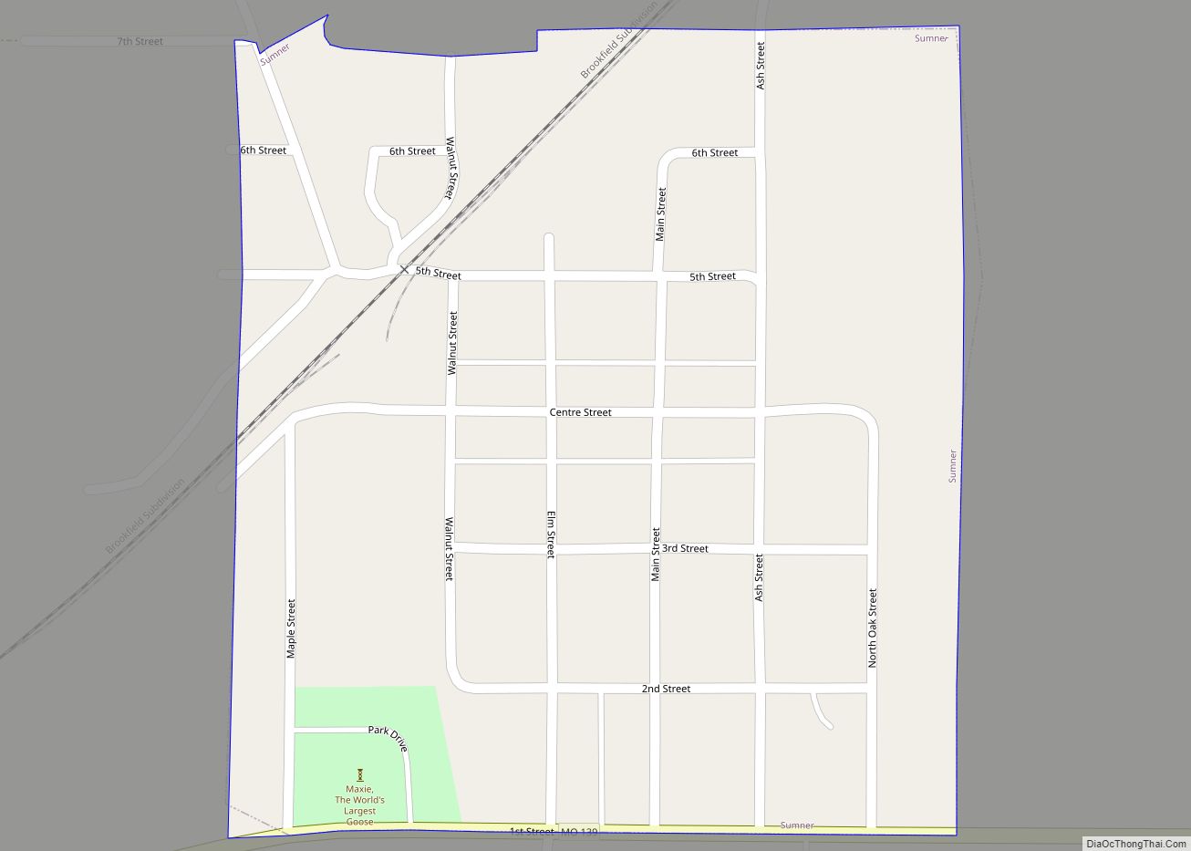
Online Interactive Map
Click on ![]() to view map in "full screen" mode.
to view map in "full screen" mode.
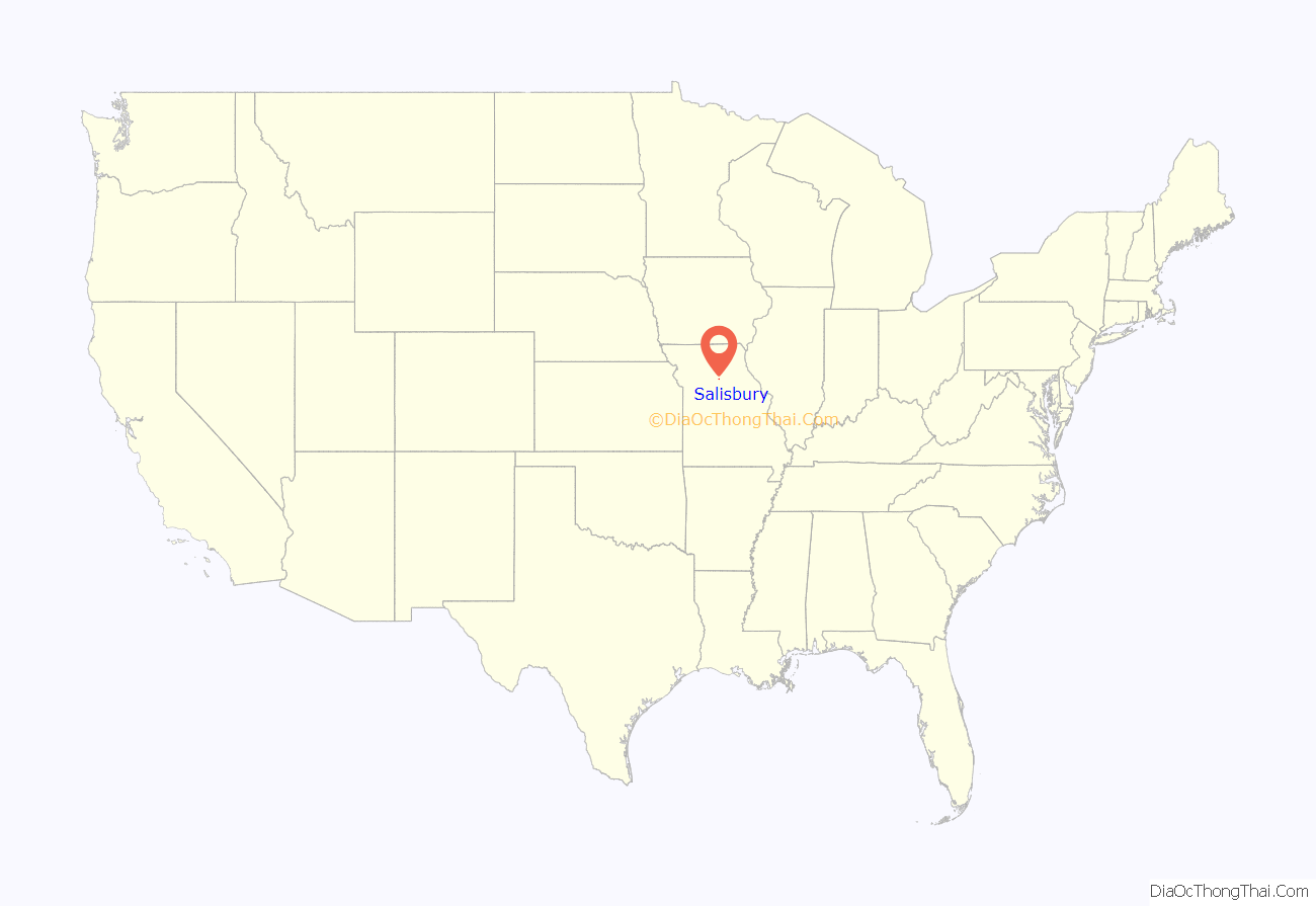
Salisbury location map. Where is Salisbury city?
History
The land where Salisbury is now located was first owned by Prior Bibo, a veteran of the War of 1812, in the late 1820s. A tract of 320 acres was granted to Bibo by the U.S. government as a bonus for his military service. Following two intermediate owners, the land was sold for $400 to Judge Lucius Salisbury in 1856. He had surveyors lay out the town plat in 1857, and the town was founded on April 1, 1867. The city has had a post office since 1863, when Judge Salisbury opened it in his home. He also ran the stagecoach stop from his business, known as “Shop-A-While.”
By the 1870 U.S. Census, Salisbury’s population was 626. Just two years later, the town was struck by a large tornado. Major fires damaged much of the business district in 1877 and again in 1882. On April 4, 1882, Salisbury was organized and chartered as a fourth-class city under Missouri laws.
Early businesses included two hotels, a flour mill, three tobacco factories, three manufacturers of agricultural equipment and some forty other assorted merchants in the latter 19th century. Residents could visit the Salisbury Opera House, where the town’s location on the Wabash rail line came into play, conveniently bringing in notable performers of the time. A published 1896 history of Chariton County lists among the community’s businesses and amenities two newspapers, six physicians, a soda-pop factory, cigar factory, and a city-owned power plant for electricity.
The Salisbury Square Historic District and Frabrishous and Sarah A. Thomas House are listed on the National Register of Historic Places.
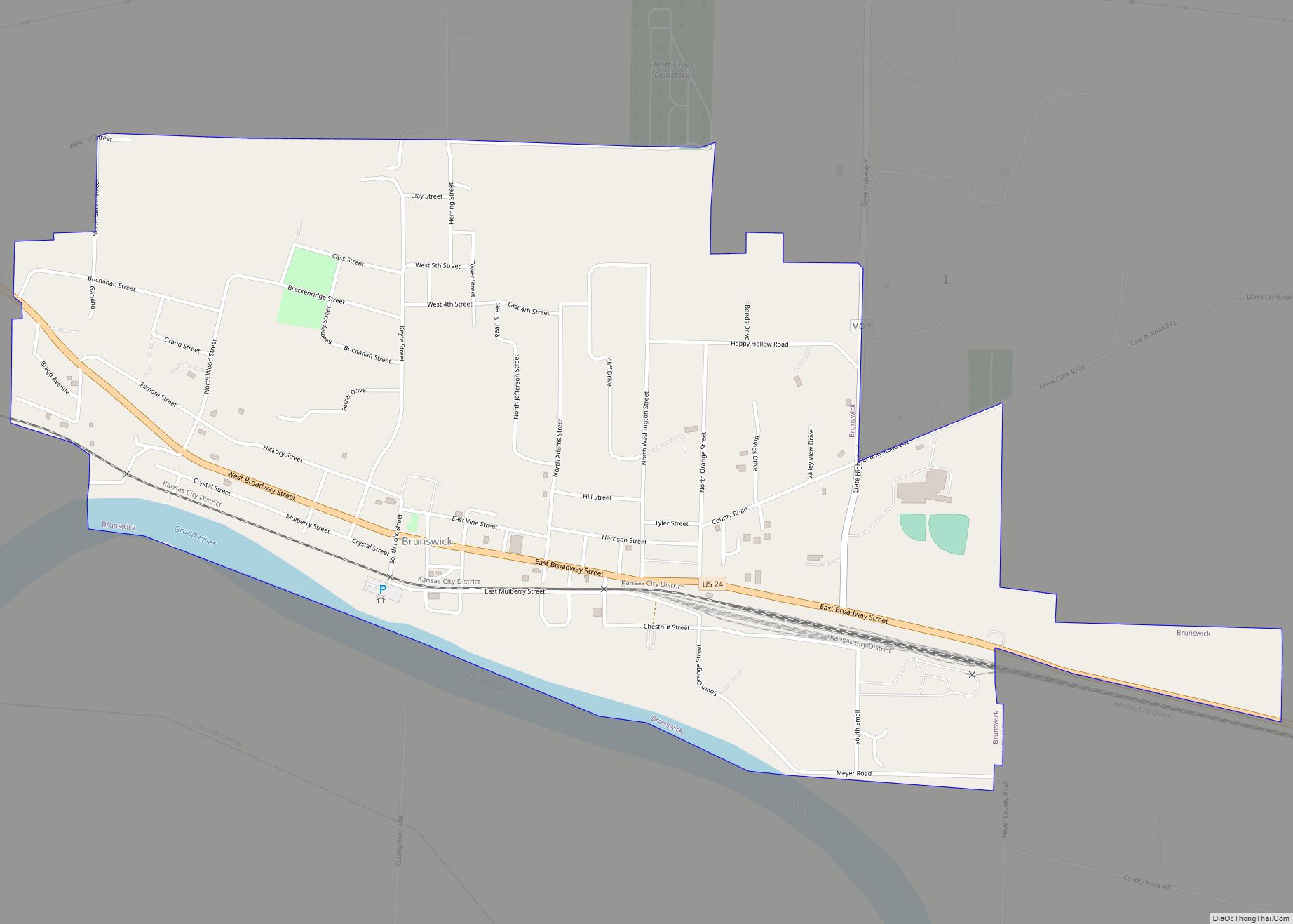
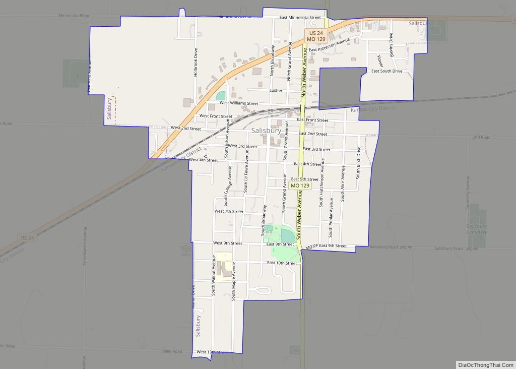
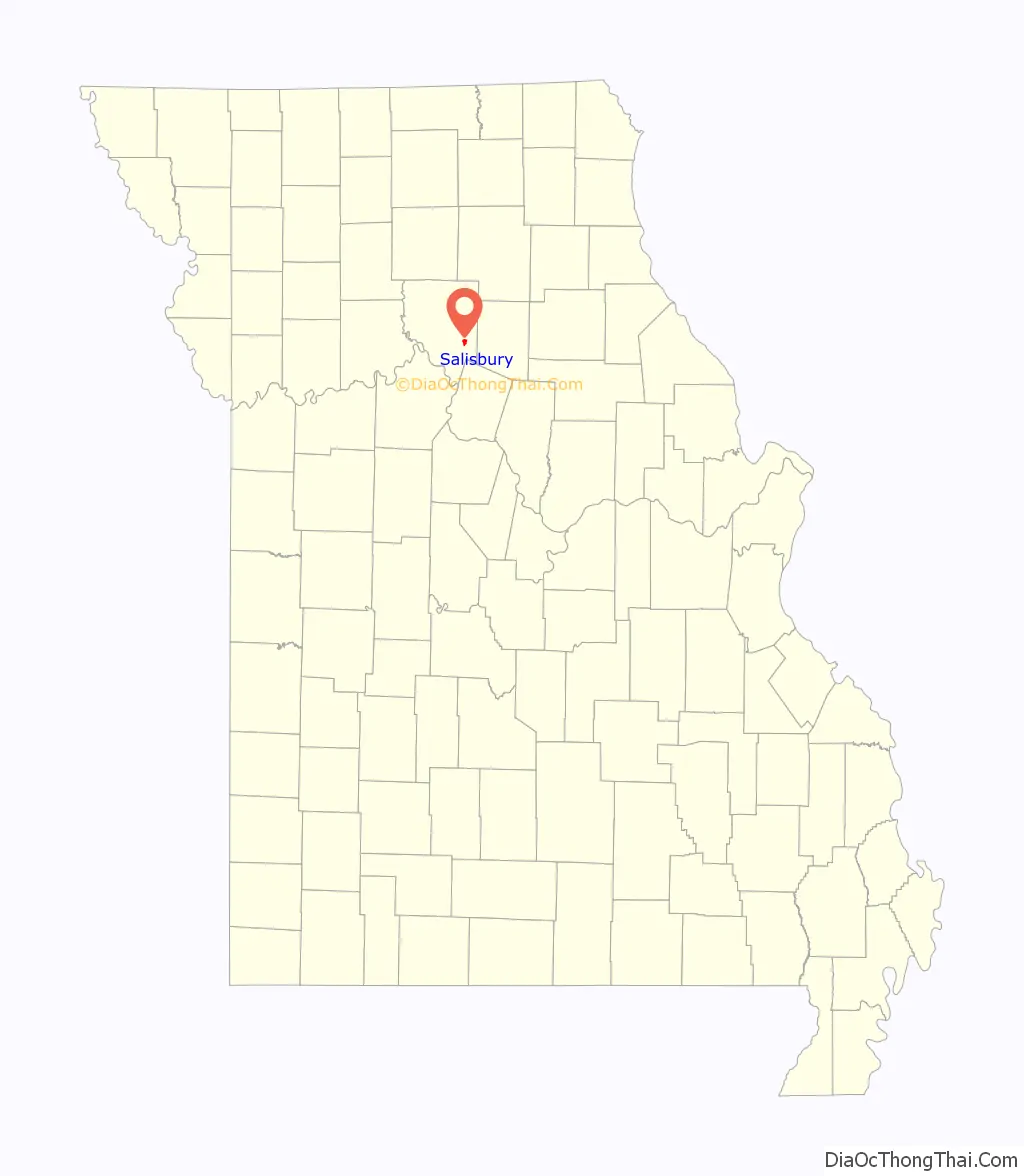
Salisbury Road Map
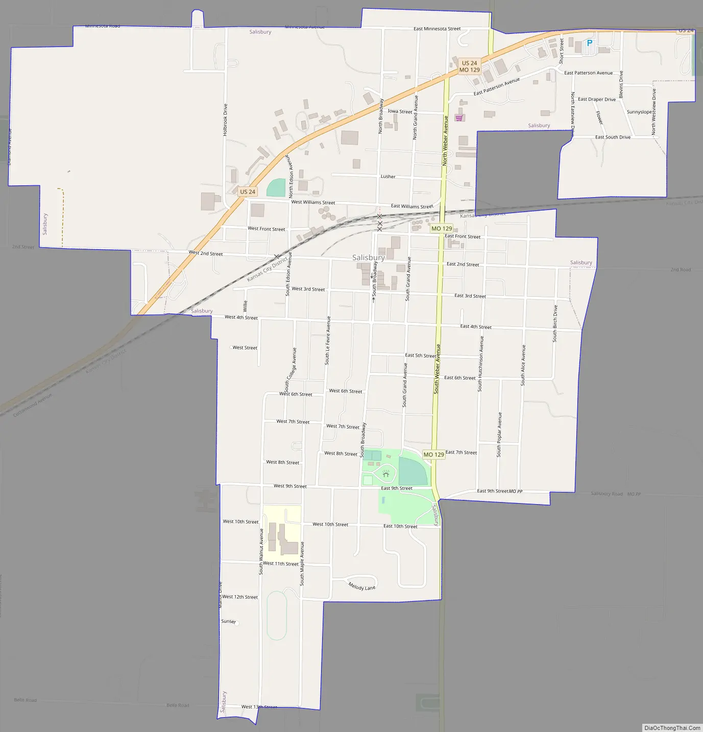
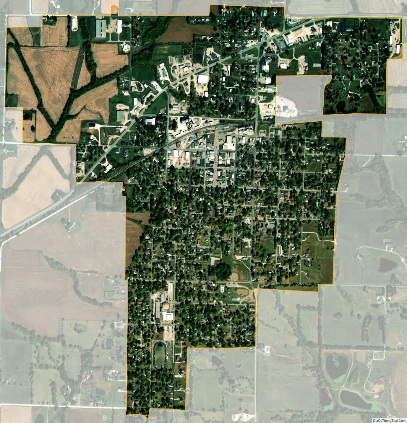
Salisbury city Satellite Map
Geography
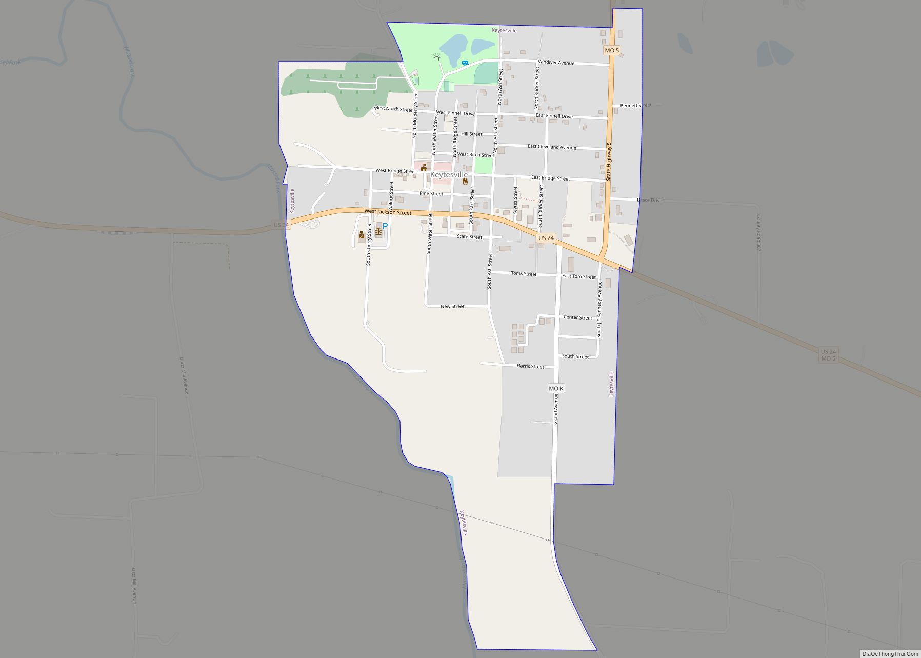
Salisbury is located at the intersection of US Route 24 and Missouri Route 129. Keytesville is approximately seven miles to the west and Clifton Hill is about seven miles to the east in adjacent Randolph County along Route 24. The Middle Fork of the Little Chariton River flows past the southeast side of the city.
According to the United States Census Bureau, the city has a total area of 1.33 square miles (3.44 km), all land.
Climate
See also
Map of Missouri State and its subdivision:- Adair
- Andrew
- Atchison
- Audrain
- Barry
- Barton
- Bates
- Benton
- Bollinger
- Boone
- Buchanan
- Butler
- Caldwell
- Callaway
- Camden
- Cape Girardeau
- Carroll
- Carter
- Cass
- Cedar
- Chariton
- Christian
- Clark
- Clay
- Clinton
- Cole
- Cooper
- Crawford
- Dade
- Dallas
- Daviess
- De Kalb
- Dent
- Douglas
- Dunklin
- Franklin
- Gasconade
- Gentry
- Greene
- Grundy
- Harrison
- Henry
- Hickory
- Holt
- Howard
- Howell
- Iron
- Jackson
- Jasper
- Jefferson
- Johnson
- Knox
- Laclede
- Lafayette
- Lawrence
- Lewis
- Lincoln
- Linn
- Livingston
- Macon
- Madison
- Maries
- Marion
- McDonald
- Mercer
- Miller
- Mississippi
- Moniteau
- Monroe
- Montgomery
- Morgan
- New Madrid
- Newton
- Nodaway
- Oregon
- Osage
- Ozark
- Pemiscot
- Perry
- Pettis
- Phelps
- Pike
- Platte
- Polk
- Pulaski
- Putnam
- Ralls
- Randolph
- Ray
- Reynolds
- Ripley
- Saint Charles
- Saint Clair
- Saint Francois
- Saint Louis
- Sainte Genevieve
- Saline
- Schuyler
- Scotland
- Scott
- Shannon
- Shelby
- Stoddard
- Stone
- Sullivan
- Taney
- Texas
- Vernon
- Warren
- Washington
- Wayne
- Webster
- Worth
- Wright
- Alabama
- Alaska
- Arizona
- Arkansas
- California
- Colorado
- Connecticut
- Delaware
- District of Columbia
- Florida
- Georgia
- Hawaii
- Idaho
- Illinois
- Indiana
- Iowa
- Kansas
- Kentucky
- Louisiana
- Maine
- Maryland
- Massachusetts
- Michigan
- Minnesota
- Mississippi
- Missouri
- Montana
- Nebraska
- Nevada
- New Hampshire
- New Jersey
- New Mexico
- New York
- North Carolina
- North Dakota
- Ohio
- Oklahoma
- Oregon
- Pennsylvania
- Rhode Island
- South Carolina
- South Dakota
- Tennessee
- Texas
- Utah
- Vermont
- Virginia
- Washington
- West Virginia
- Wisconsin
- Wyoming