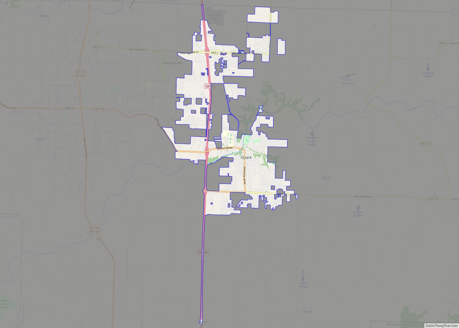
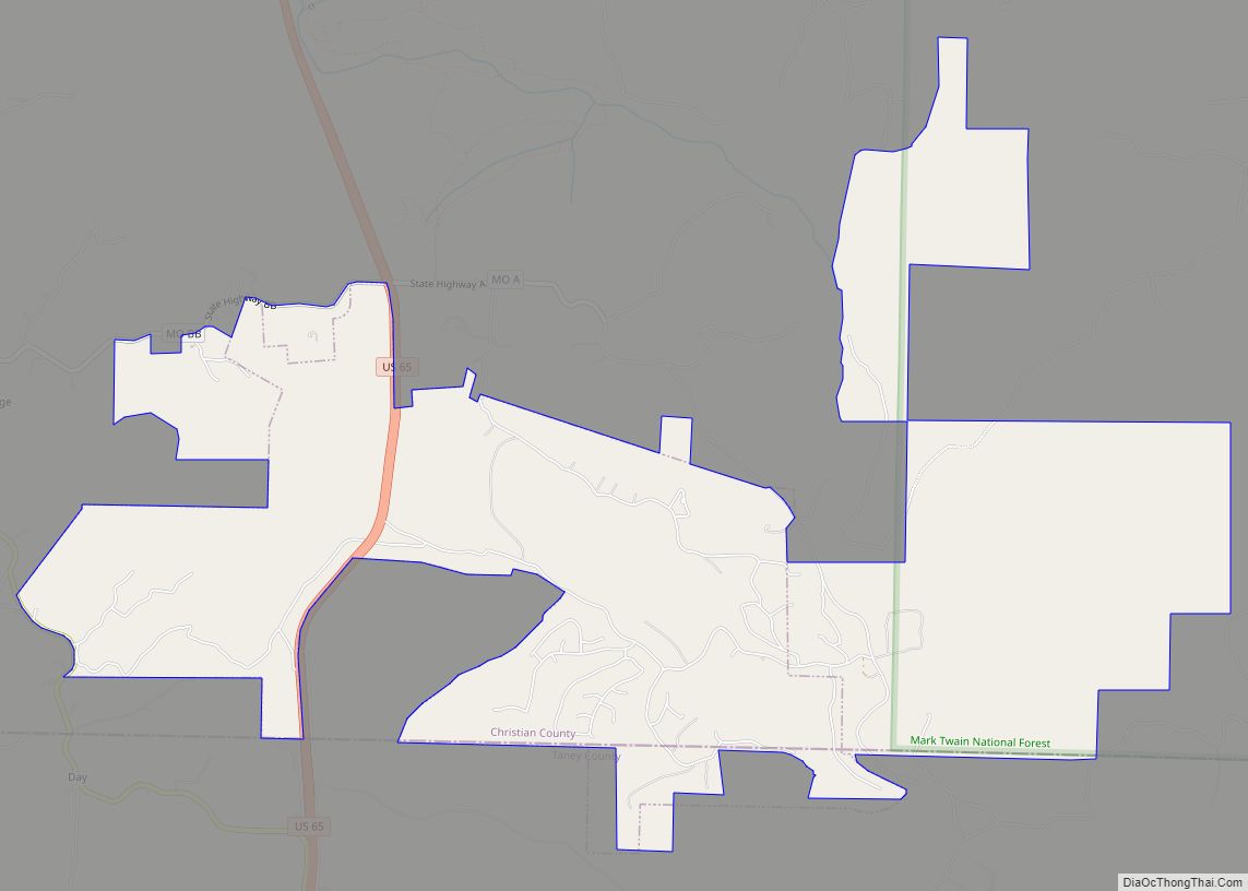
Ozark is a city in and the county seat of Christian County, Missouri. Its population was 21,284 as of the 2020 census. Ozark is also the third largest city in the Springfield, Missouri Metropolitan Area, and is centered along a business loop of U.S. Route 65, where it intersects with Missouri Route 14.
| Name: | Ozark city |
|---|---|
| LSAD Code: | 25 |
| LSAD Description: | city (suffix) |
| State: | Missouri |
| County: | Christian County |
| Incorporated: | 1890 |
| Elevation: | 1,168 ft (356 m) |
| Total Area: | 12.22 sq mi (31.64 km²) |
| Land Area: | 12.15 sq mi (31.46 km²) |
| Water Area: | 0.07 sq mi (0.18 km²) |
| Total Population: | 21,284 |
| Population Density: | 1,752.20/sq mi (676.50/km²) |
| ZIP code: | 65721 |
| Area code: | 417 |
| FIPS code: | 2955766 |
| GNISfeature ID: | 0723933 |
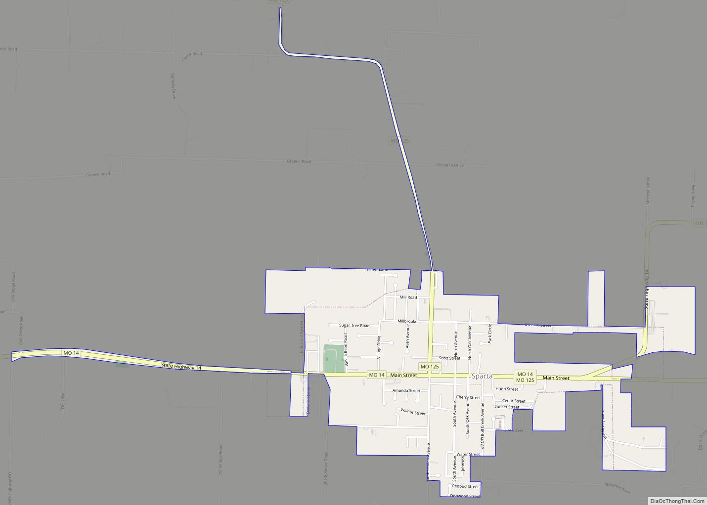
Online Interactive Map
Click on ![]() to view map in "full screen" mode.
to view map in "full screen" mode.
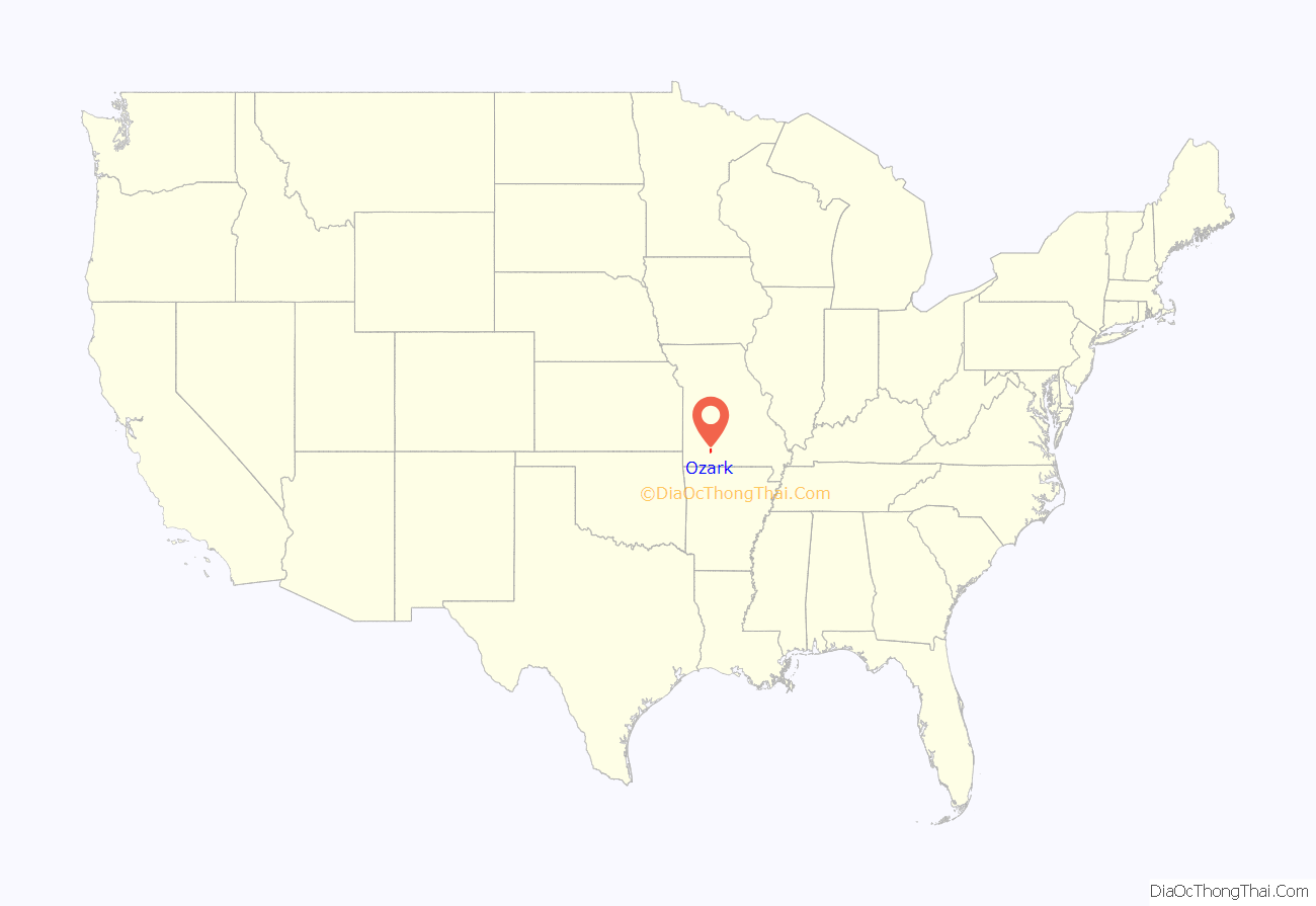
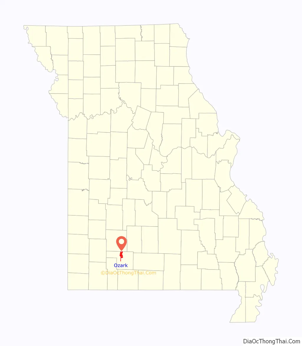
Ozark location map. Where is Ozark city?
History
Ozark was named after the Ozark Mountains, in which it is situated. The Ozark Courthouse Square Historic District was listed on the National Register of Historic Places in 2009.
The name Ozarks is believed to have begun sometime in the late 1700s or early 1800s from those living in the Arkansas area who were heading north and said they were going to the Ozarks.
The first settler to visit the area is believed to be Henry Schoolcraft, who arrived in 1818. During that time he studied extensively the geological makeup of the area and noted the high concentration of lead and zinc. Notably, in the Elk Valley area. Schoolcraft noted on the abundance of elk, bear and other wildlife in the area. This later became the area’s hunting grounds, until the elk were hunted to extinction in the 1880s.
Most of the lead and zinc mines functioned until the early 1900’s. There is an interactive map and history of mines and locations found here. The majority of the mining done in Ozark, Missouri was done in the Elk Valley area.
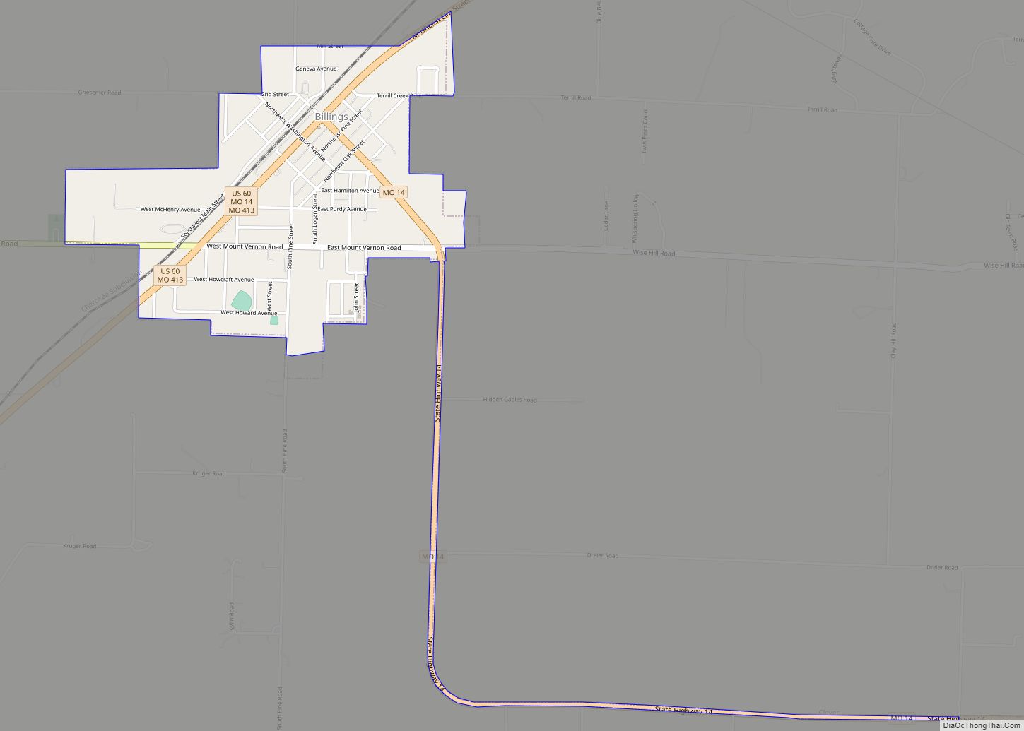
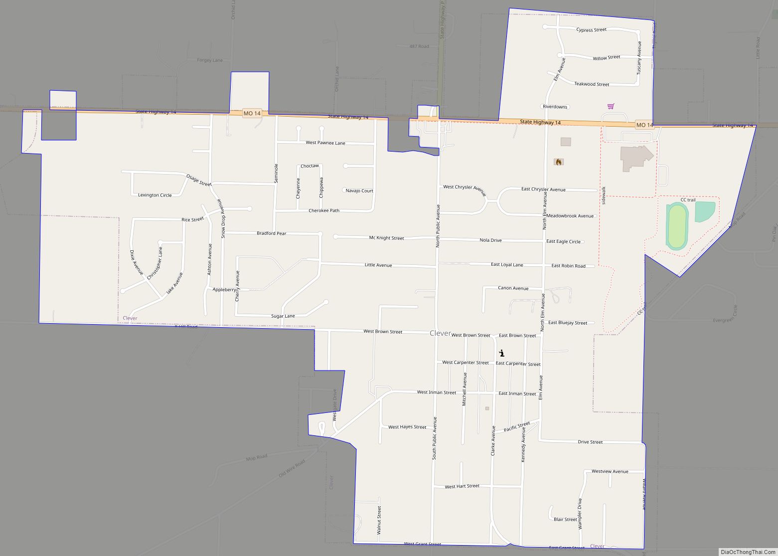
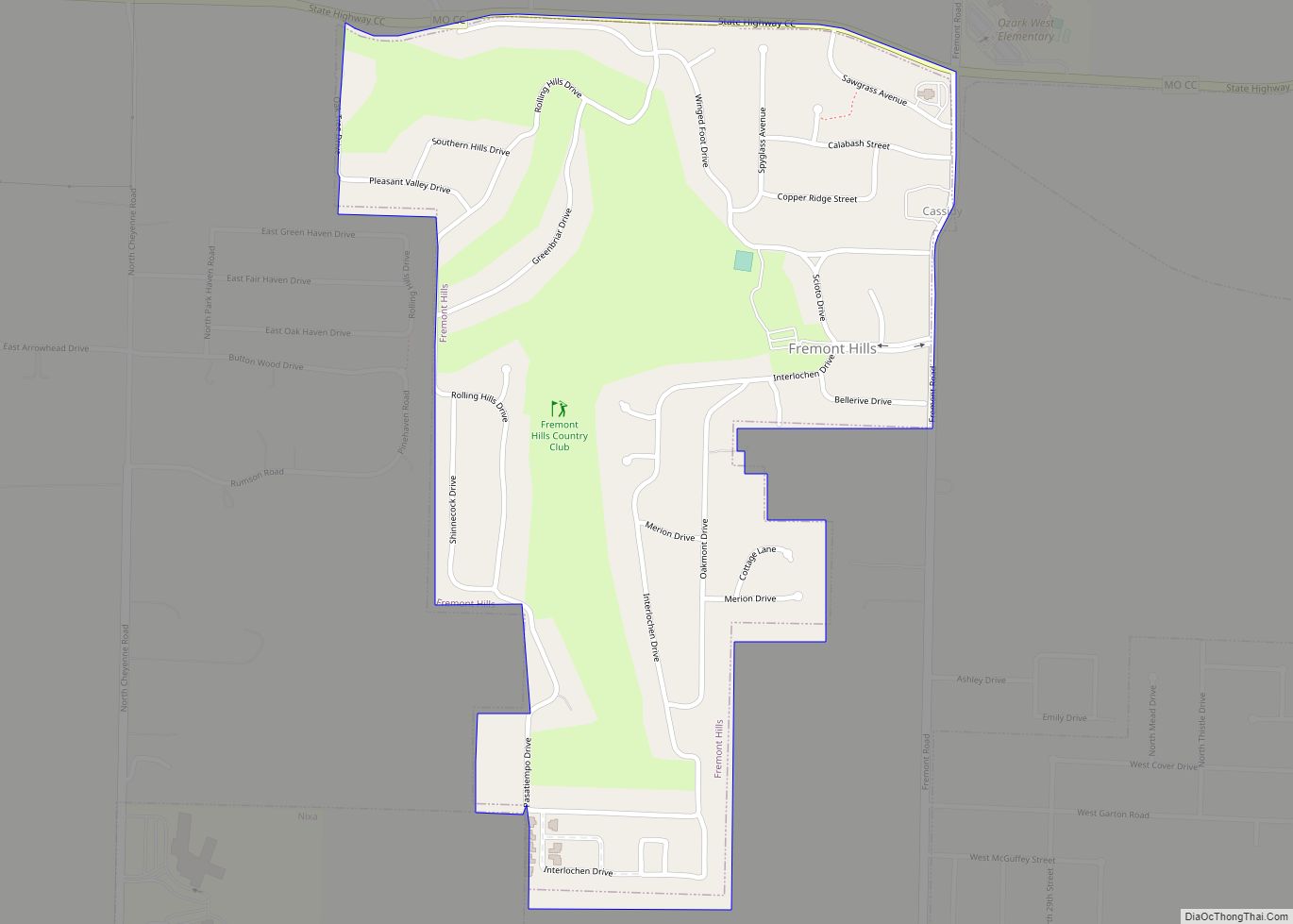
Ozark Road Map

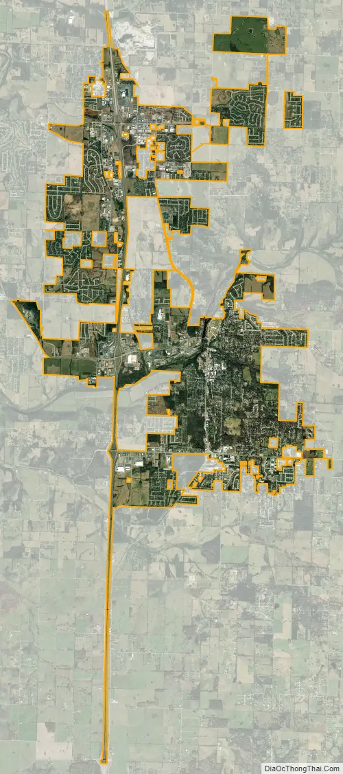
Ozark city Satellite Map
Geography
Ozark is located at 37°1′38″N 93°12′34″W / 37.02722°N 93.20944°W / 37.02722; -93.20944 (37.027111, −93.209572). According to the United States Census Bureau, the city has a total area of 11.15 square miles (28.88 km), of which 11.10 square miles (28.75 km) is land and 0.05 square miles (0.13 km) is water.
Climate
See also
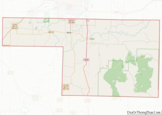
Map of Missouri State and its subdivision:- Adair
- Andrew
- Atchison
- Audrain
- Barry
- Barton
- Bates
- Benton
- Bollinger
- Boone
- Buchanan
- Butler
- Caldwell
- Callaway
- Camden
- Cape Girardeau
- Carroll
- Carter
- Cass
- Cedar
- Chariton
- Christian
- Clark
- Clay
- Clinton
- Cole
- Cooper
- Crawford
- Dade
- Dallas
- Daviess
- De Kalb
- Dent
- Douglas
- Dunklin
- Franklin
- Gasconade
- Gentry
- Greene
- Grundy
- Harrison
- Henry
- Hickory
- Holt
- Howard
- Howell
- Iron
- Jackson
- Jasper
- Jefferson
- Johnson
- Knox
- Laclede
- Lafayette
- Lawrence
- Lewis
- Lincoln
- Linn
- Livingston
- Macon
- Madison
- Maries
- Marion
- McDonald
- Mercer
- Miller
- Mississippi
- Moniteau
- Monroe
- Montgomery
- Morgan
- New Madrid
- Newton
- Nodaway
- Oregon
- Osage
- Ozark
- Pemiscot
- Perry
- Pettis
- Phelps
- Pike
- Platte
- Polk
- Pulaski
- Putnam
- Ralls
- Randolph
- Ray
- Reynolds
- Ripley
- Saint Charles
- Saint Clair
- Saint Francois
- Saint Louis
- Sainte Genevieve
- Saline
- Schuyler
- Scotland
- Scott
- Shannon
- Shelby
- Stoddard
- Stone
- Sullivan
- Taney
- Texas
- Vernon
- Warren
- Washington
- Wayne
- Webster
- Worth
- Wright
- Alabama
- Alaska
- Arizona
- Arkansas
- California
- Colorado
- Connecticut
- Delaware
- District of Columbia
- Florida
- Georgia
- Hawaii
- Idaho
- Illinois
- Indiana
- Iowa
- Kansas
- Kentucky
- Louisiana
- Maine
- Maryland
- Massachusetts
- Michigan
- Minnesota
- Mississippi
- Missouri
- Montana
- Nebraska
- Nevada
- New Hampshire
- New Jersey
- New Mexico
- New York
- North Carolina
- North Dakota
- Ohio
- Oklahoma
- Oregon
- Pennsylvania
- Rhode Island
- South Carolina
- South Dakota
- Tennessee
- Texas
- Utah
- Vermont
- Virginia
- Washington
- West Virginia
- Wisconsin
- Wyoming