Lake County is a county located in the north central portion of the U.S. state of California. As of the 2020 census, the population was 68,163. The county seat is Lakeport. The county takes its name from Clear Lake, the dominant geographic feature in the county and the largest non-extinct natural lake wholly within California. (Lake Tahoe is partially in Nevada; the Salton Sea was formed by flooding; Tulare Lake was drained by the agricultural industry.)
Lake County forms the Clearlake, California micropolitan statistical area. It is directly north of the San Francisco Bay Area.
Lake County is part of California’s Wine Country, which also includes Napa, Sonoma, and Mendocino counties. It includes five American Viticultural Areas and over 35 wineries.
| Name: | Lake County |
|---|---|
| FIPS code: | 06-033 |
| State: | California |
| Founded: | 1861 |
| Named for: | Clear Lake |
| Seat: | Lakeport |
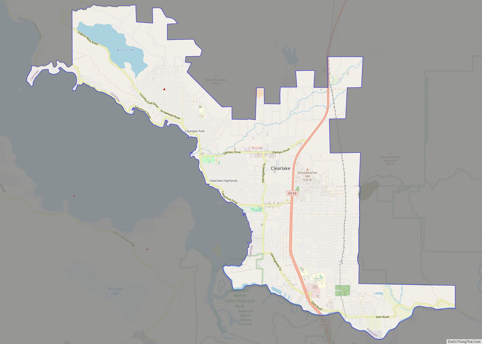
| Largest city: | Clearlake |
| Total Area: | 1,329 sq mi (3,440 km²) |
| Land Area: | 1,256 sq mi (3,250 km²) |
| Total Population: | 68,163 |
| Population Density: | 54/sq mi (21/km²) |
| Time zone: | UTC−8 (Pacific Standard Time) |
| Summer Time Zone (DST): | UTC−7 (Pacific Daylight Time) |
| Website: | www.lakecountyca.gov |
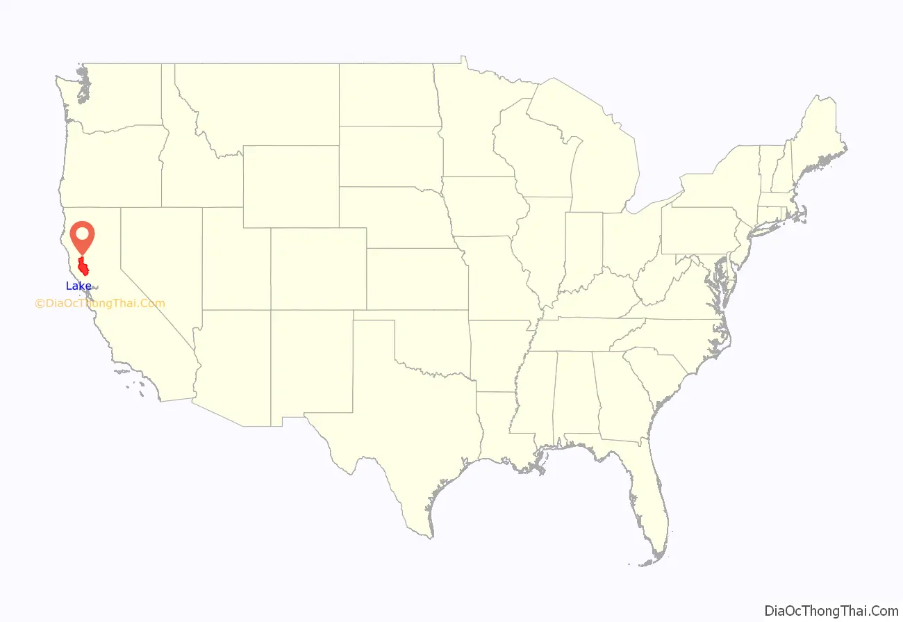
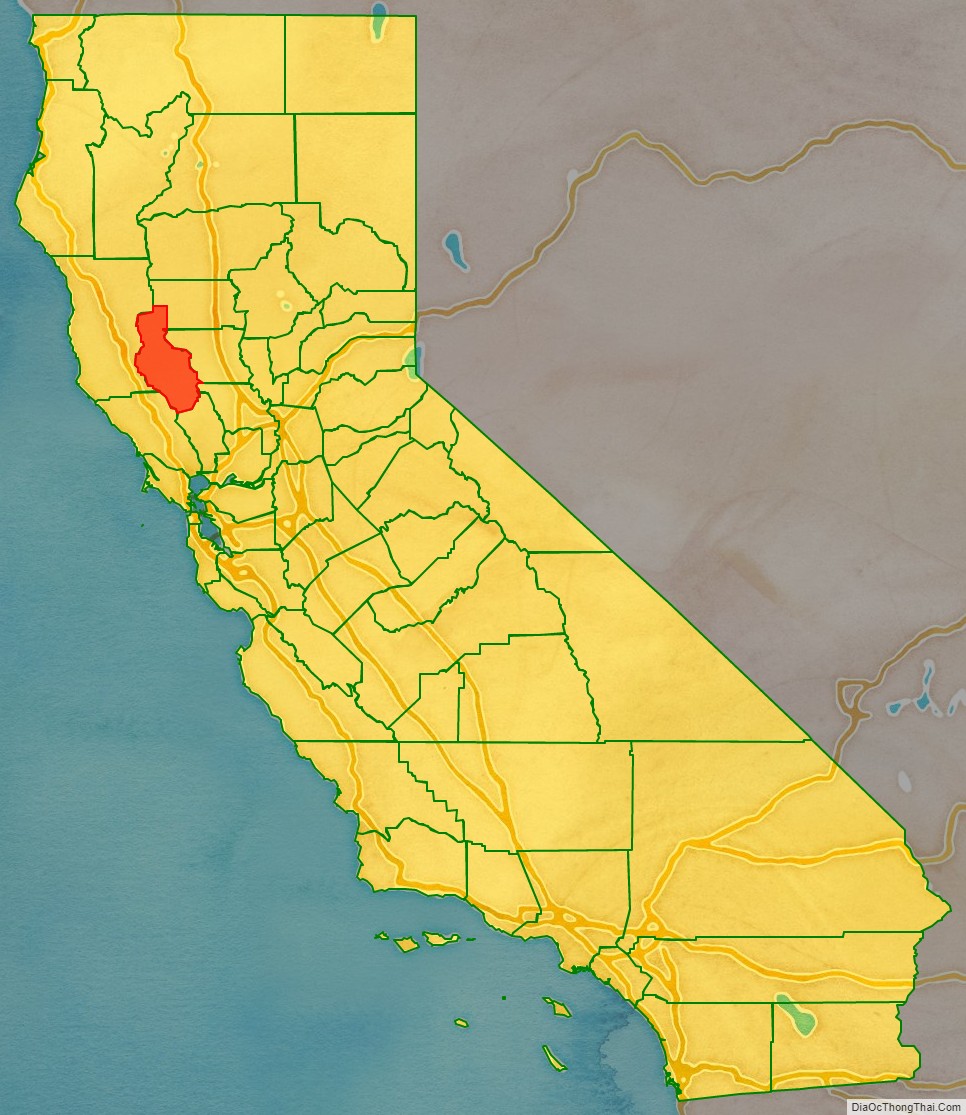
Lake County location map. Where is Lake County?
History
Lake County has been inhabited by Pomo Native Americans for over ten thousand years. Pomos had been fishermen and hunters, known especially for their intricate basketry made from lakeshore tules and other native plants and feathers. Pomo people continue to live in Lake County.
The area had European-American settlers from at least the 1840s. Lake County was created in 1861 from parts of Napa and Mendocino counties. The eastern boundary of Lake County, which was not clearly specified in the 1861 act, was clarified by legislative acts passed in 1864 and 1868. A major effect of the 1868 act was to include in Lake County the entire watershed of North Fork Cache Creek, which had previously been claimed by Colusa County.
The 1911 California Blue Book lists the major crops as Bartlett pears and beans. Other crops include grain, alfalfa, hay, prunes, peaches, apples, grapes and walnuts. Stockraising included goats, hogs, turkeys and dairying.
Some vineyards were planted in the 1870s by European Americans but the first in the state were established in the 18th century by Spanish missionaries. By the early 20th century, the area was earning a reputation for producing some of the world’s greatest wines. However, in 1920, national prohibition essentially ended Lake County’s wine production. With authorized cultivation limited to sacramental purposes, most of the vineyards were ripped out and replanted with walnut and pear orchards.
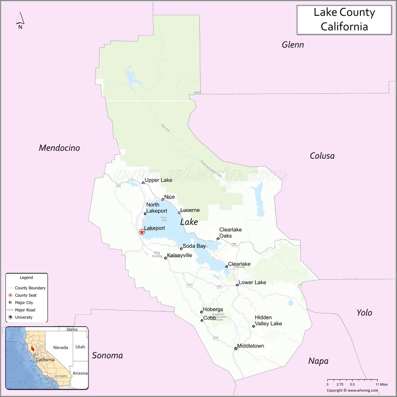
Lake County Road Map
Geography
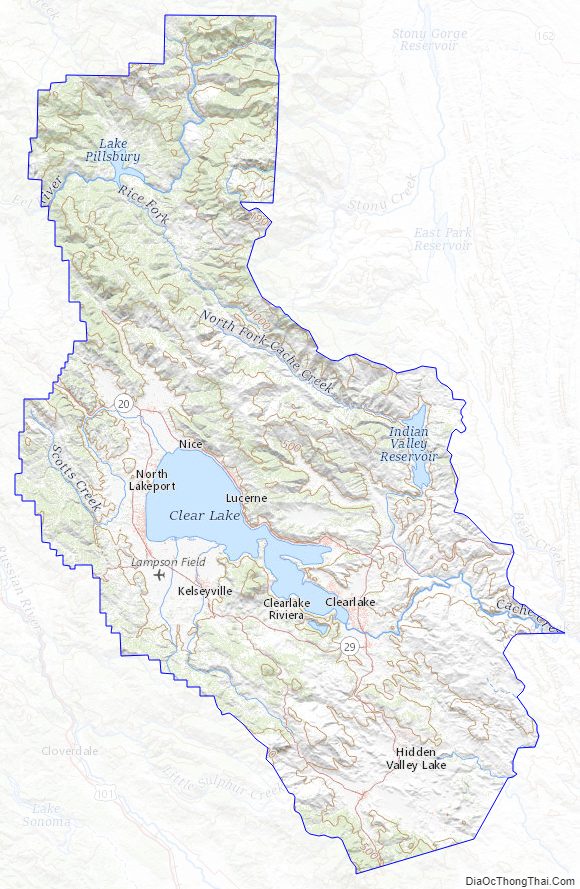
According to the U.S. Census Bureau, the county has a total area of 1,329 square miles (3,440 km), of which 1,256 square miles (3,250 km) is land and 73 square miles (190 km) (5.5%) is water. Two main watercourses drain the county: Cache Creek, which is the outlet of Clear Lake; and Putah Creek. Both of these flow to the Sacramento River. The main streams which flow into Clear Lake are Forbes Creek, Scotts Creek, Middle Creek, and Kelsey Creek. At the extreme north of the county Lake Pillsbury and the Van Arsdale Reservoir dam the Eel River, providing water and power to Ukiah in Mendocino County.
Clear Lake is believed to be the oldest warmwater lake in North America, due to a geological fluke. The lake sits on a huge block of stone which slowly tilts in the northern direction at the same rate as the lake fills in with sediment, thus keeping the water at roughly the same depth. The geology of the county is chaotic, being based on Franciscan Assemblage hills. Numerous small faults are present in the south end of the lake as well as many old volcanoes, the largest being Cobb Mountain. The geologic history of the county shows events of great violence, such as the eruption of Mount Konocti and Mount St. Helena and the collapse of Cow Mountain, which created the hills around the county seat of Lakeport. Blue Lakes, Lake Pillsbury, and Indian Valley Reservoir are the county’s other major bodies of water.
Lake County has habitats for a variety of species of concern including the uncommon herb, Legenere limosa, the rare Eryngium constancei, and the tule elk. Waterfowl, bear, and other wildlife abound in the Clear Lake basin.
Due to its surrounding hilly terrain, Lake is the only one of California’s 58 counties never to have been served by a railroad line.
Adjacent counties
- Glenn County – northeast
- Colusa County – east
- Yolo County – southeast
- Napa County – southeast
- Sonoma County – southwest
- Mendocino County – west
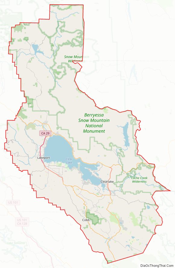
National protected areas
- Mendocino National Forest (part)
- Cow Mountain Recreation Area
- Cache Creek Wilderness and Cache Creek Wildlife Area
In 2015 President Barack Obama created the Berryessa Snow Mountain National Monument, incorporating these and other areas.
State protected areas
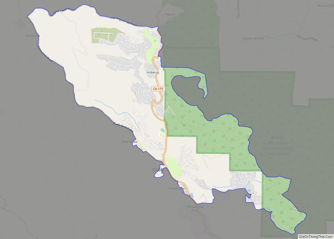
- Boggs Mountain Demonstration State Forest
- Anderson Marsh State Historic Park
- Loch Lomond Vernal Pool Ecological Reserve
- Boggs Lake Ecological Reserve
- Clear Lake State Park
- Rodman Slough Preserve (108 acres managed by California Department of Fish and Game)
Mineral springs
In the late 19th century, the worldwide popularity of mineral water for the relief of myriad physical ailments resulted in the development of mineral resorts around Clear Lake.
- Greene Bartlett discovered Bartlett hot springs in 1870. The springs were developed into a resort and by 1900 included a mineral water bottling plant. The resort burned down in 1934.
- Harbin Hot Springs was developed by settlers in the 1860s. Harbin burned to the ground in the Valley Fire of 2015. In January 2019 it partially reopened, including the main pools and sauna, and a limited cafetaria service.
- Highland Springs opened in 1891, and was destroyed by fire in 1945. During its time, Highland had an elegant dining room and a spacious hotel.
- Saratoga Springs Resort was opened by J. J. Liebert in 1873 with several cabins, and within two decades had room for 350 guests.
- Witter Springs Resort opened in 1873 with a hotel and guest cottages.
Lake County Topographic Map
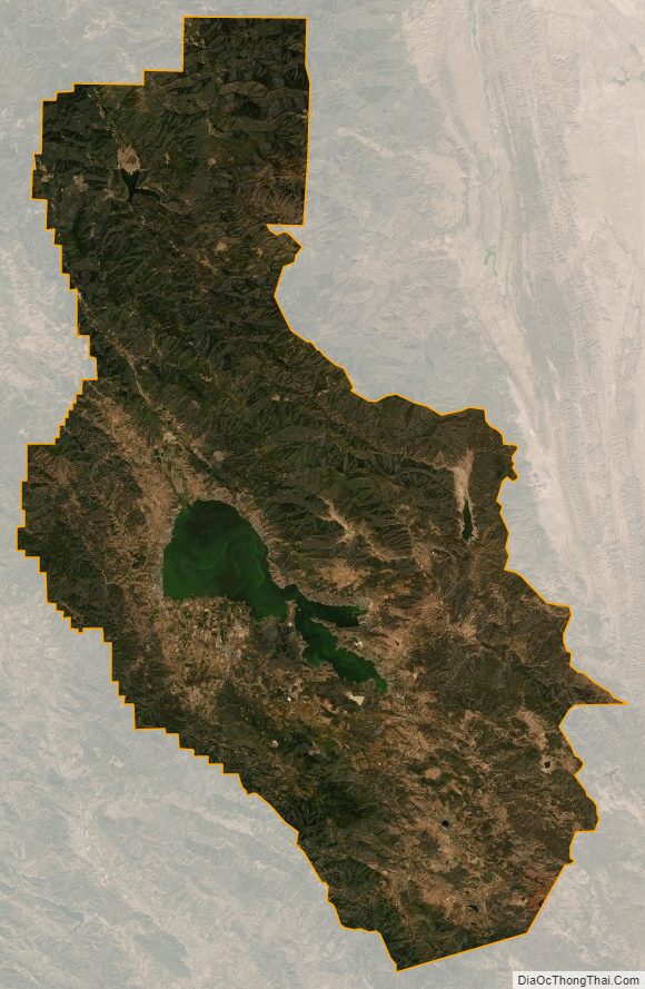
Lake County Satellite Map
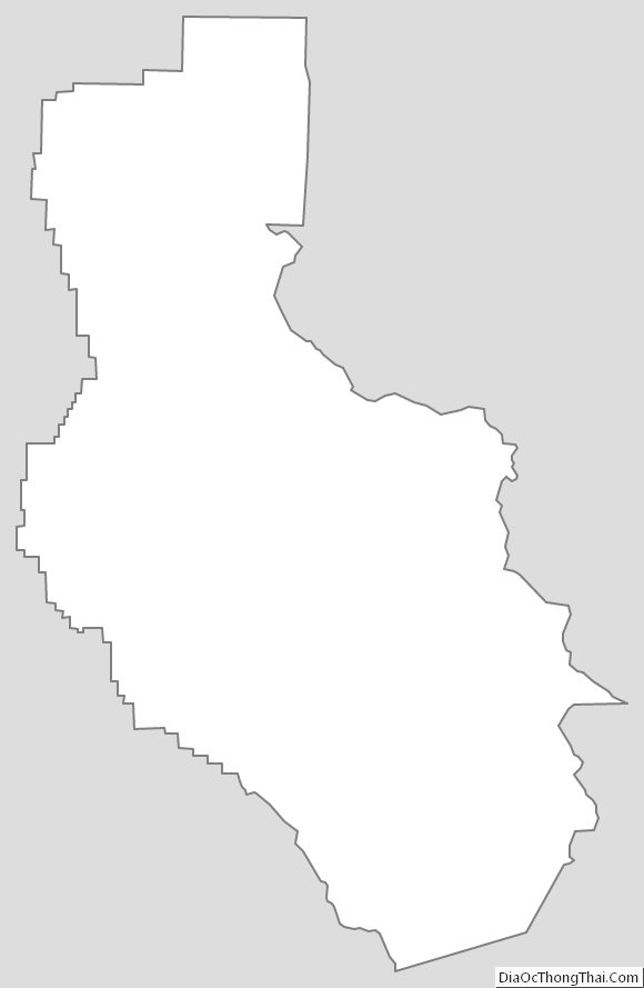
Lake County Outline Map