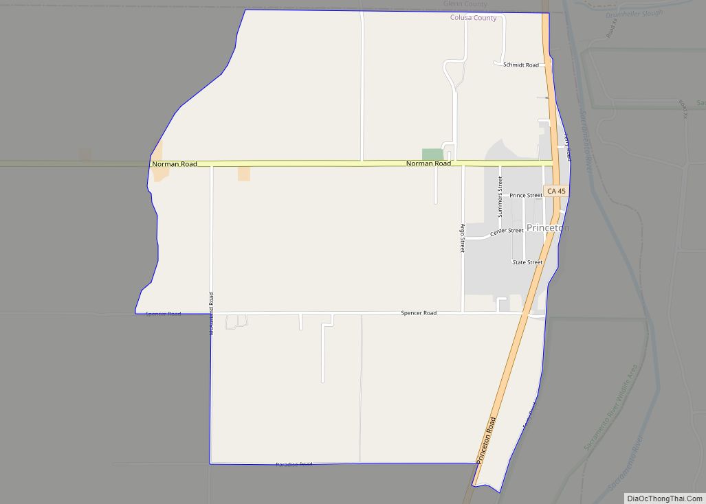
Princeton (formerly, Ket-tee) is a census-designated place in Colusa County, California. It lies at an elevation of 82 feet (25 m). Its ZIP code is 95970 and its area code is 530. Princeton’s population was 303 at the 2010 census.
| Name: | Princeton CDP |
|---|---|
| LSAD Code: | 57 |
| LSAD Description: | CDP (suffix) |
| State: | California |
| County: | Colusa County |
| Elevation: | 82 ft (25 m) |
| Total Area: | 1.836 sq mi (4.756 km²) |
| Land Area: | 1.836 sq mi (4.756 km²) |
| Water Area: | 0 sq mi (0 km²) 0% |
| Total Population: | 303 |
| Population Density: | 170/sq mi (64/km²) |
| ZIP code: | 95970 |
| Area code: | 530 |
| FIPS code: | 0658758 |
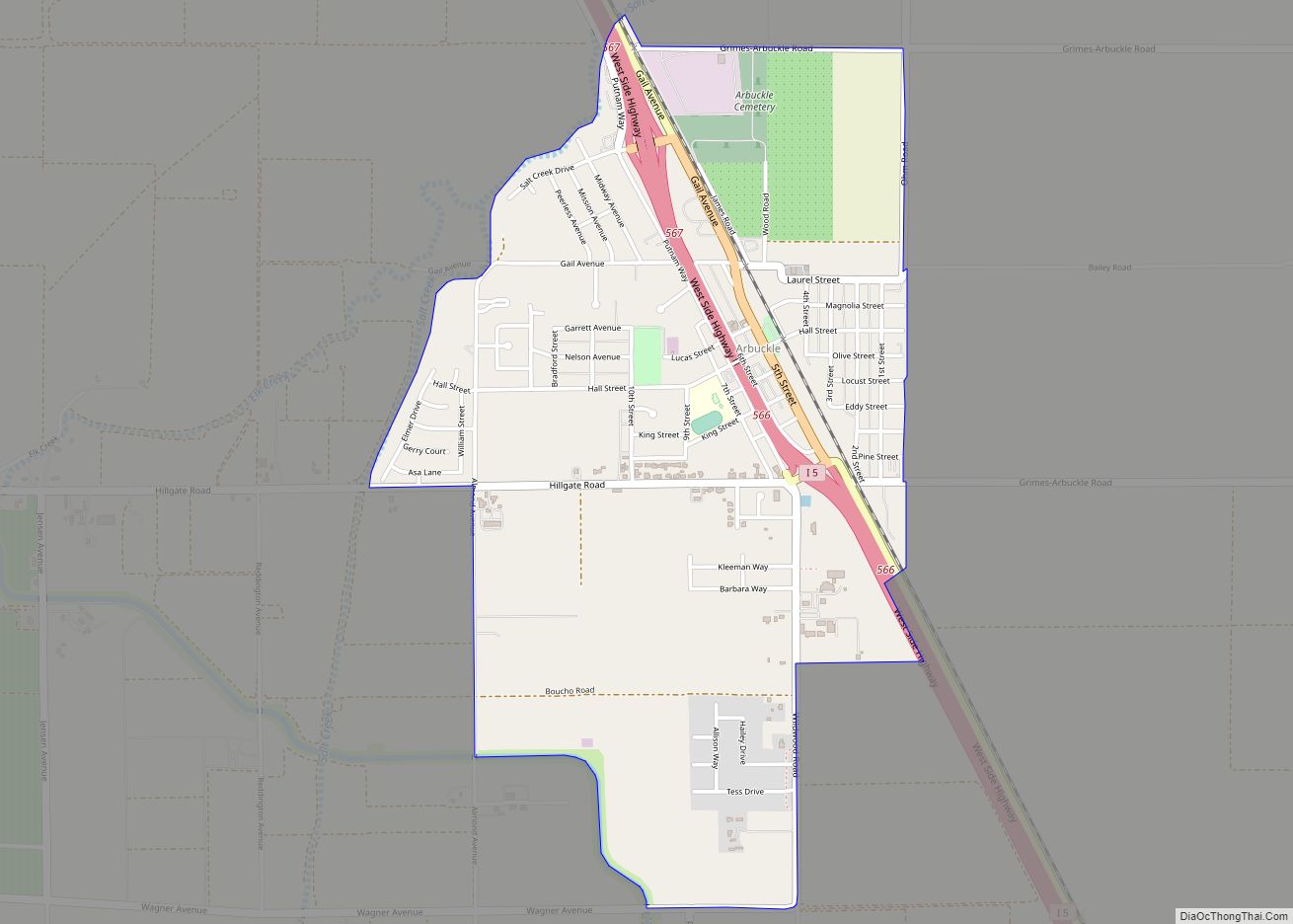
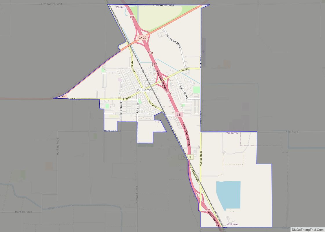
Online Interactive Map
Click on ![]() to view map in "full screen" mode.
to view map in "full screen" mode.
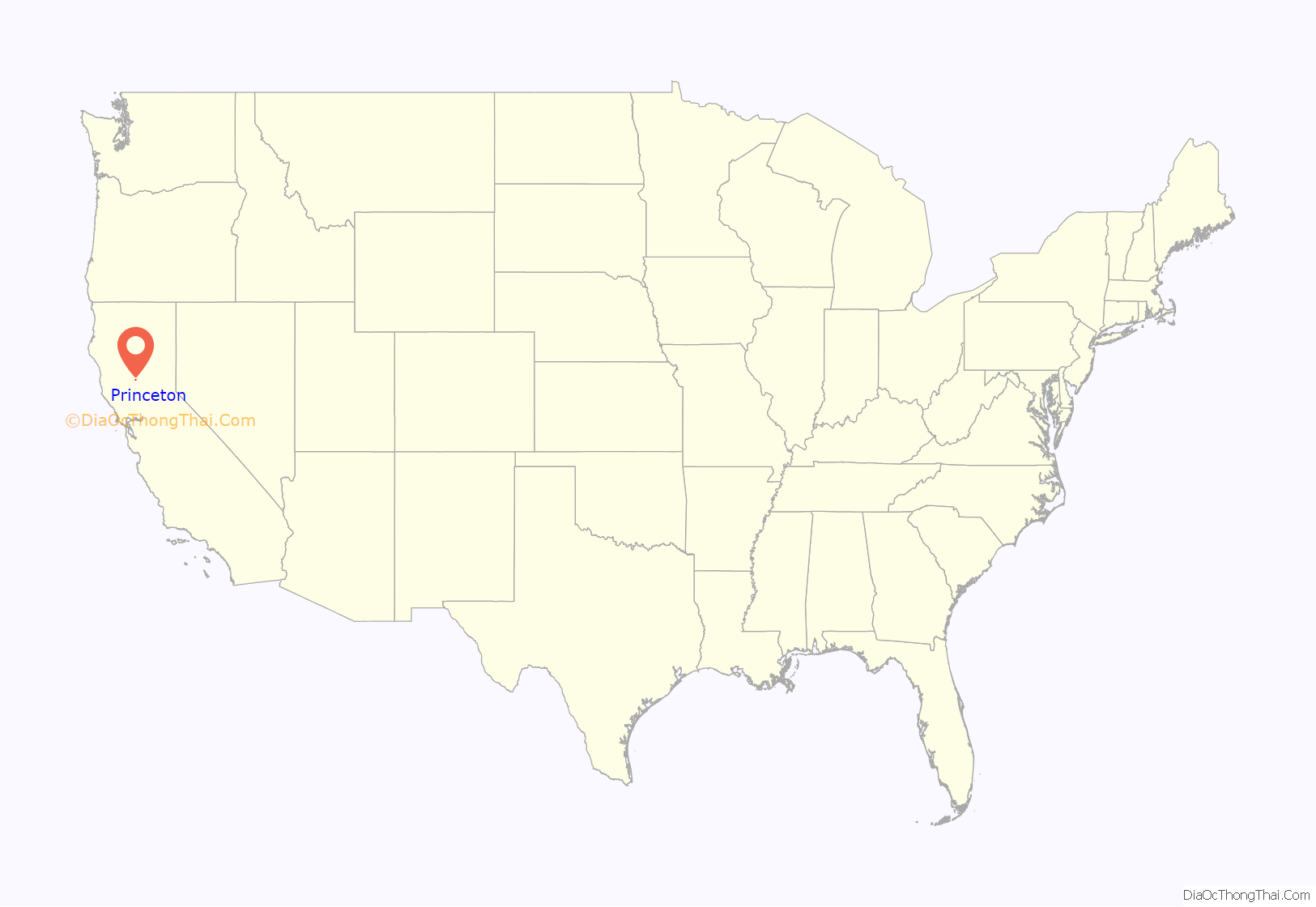
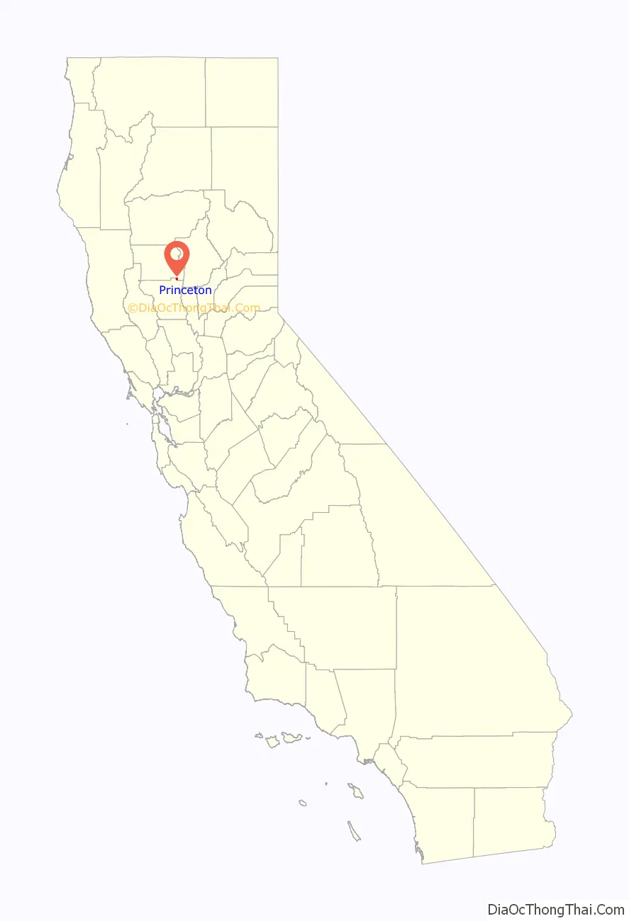
Princeton location map. Where is Princeton CDP?
History
Before Euro-American settlers came to the region, Colus Indians inhabited the region. The first Euro-American settler in the area around Princeton was John S. Williams, who was sent by Thomas Larkin, the American Consul to Mexico, whose children were given an 44,364 acre land grant from Governor Manuel Micheltorena in 1844. Williams built an adobe in 1847 near the abandoned Patwin village of Chah’ de’-he near Princeton and established a successful cattle ranch.
The first establishment in what became the town proper was a roadhouse called the Sixteen-Mile House, built in 1851. In the 1870s grain farming became successful in the region. Princeton had a grain warehouse and served as a point where farmers could bring their grain to be shipped by boat to larger markets down river. By 1897 Princeton was a small town of 250 people with a number of businesses including a bank, hotel, and grocery store.
For nearly 130 years Princeton had an operating ferry that connected residents to the community of Afton across the Sacramento River. However, it was closed down by Glenn County officials in 1986 due to safety and financial considerations. The remains of the ferry and dock can be found at 39°24’43.3″N 122°00’35.1″W
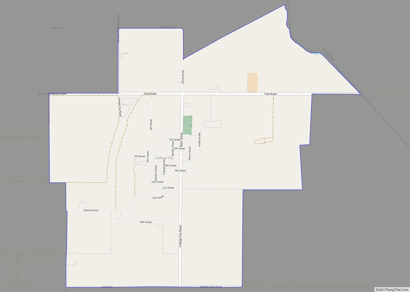
Princeton Road Map
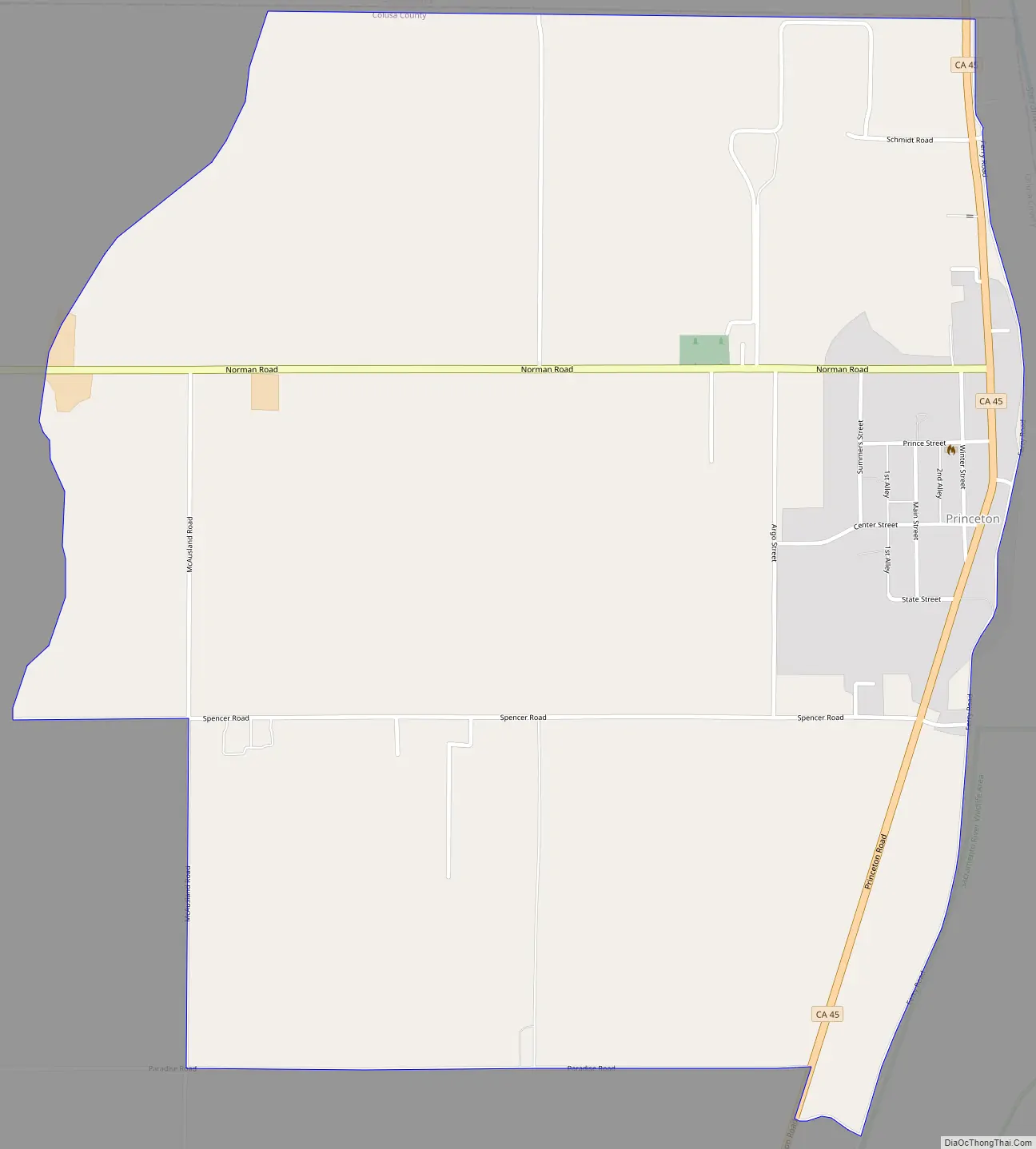
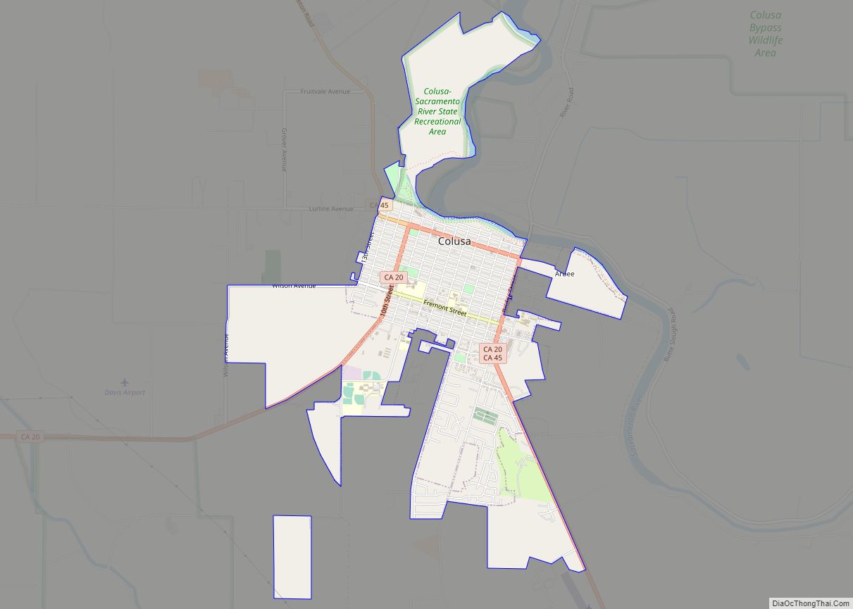
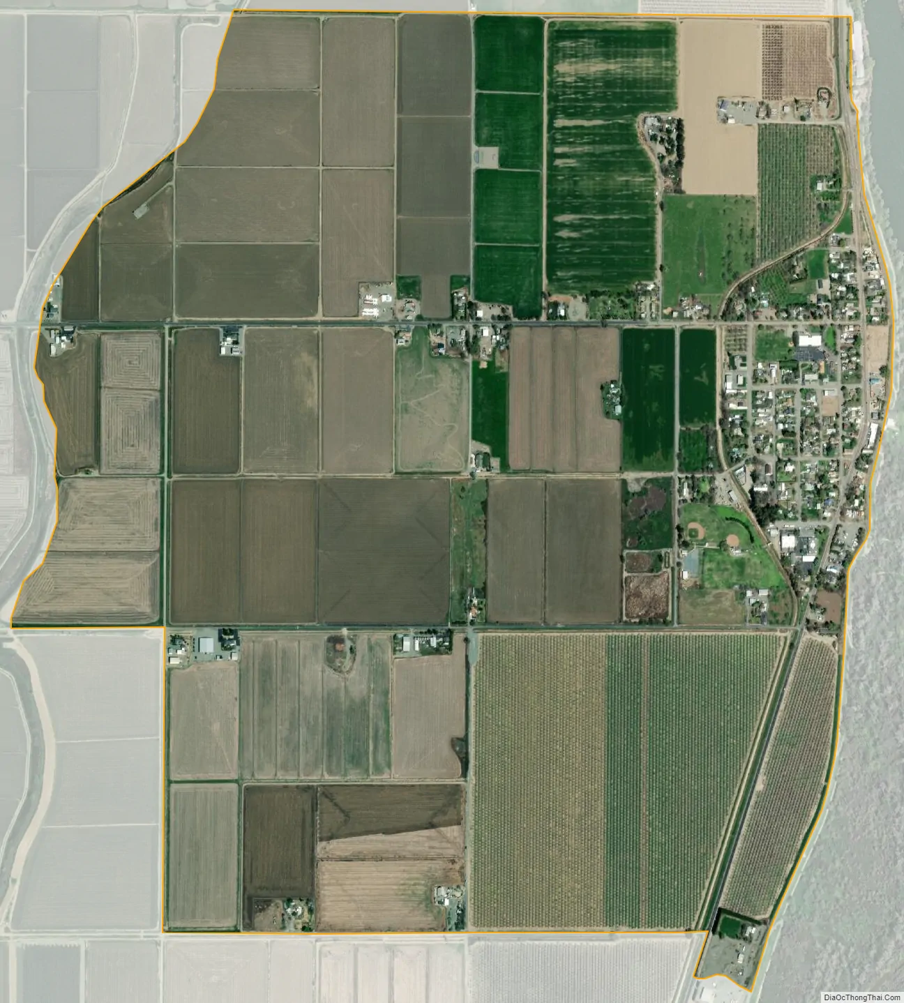
Princeton city Satellite Map
See also
Map of California State and its subdivision:- Alameda
- Alpine
- Amador
- Butte
- Calaveras
- Colusa
- Contra Costa
- Del Norte
- El Dorado
- Fresno
- Glenn
- Humboldt
- Imperial
- Inyo
- Kern
- Kings
- Lake
- Lassen
- Los Angeles
- Madera
- Marin
- Mariposa
- Mendocino
- Merced
- Modoc
- Mono
- Monterey
- Napa
- Nevada
- Orange
- Placer
- Plumas
- Riverside
- Sacramento
- San Benito
- San Bernardino
- San Diego
- San Francisco
- San Joaquin
- San Luis Obispo
- San Mateo
- Santa Barbara
- Santa Clara
- Santa Cruz
- Shasta
- Sierra
- Siskiyou
- Solano
- Sonoma
- Stanislaus
- Sutter
- Tehama
- Trinity
- Tulare
- Tuolumne
- Ventura
- Yolo
- Yuba
- Alabama
- Alaska
- Arizona
- Arkansas
- California
- Colorado
- Connecticut
- Delaware
- District of Columbia
- Florida
- Georgia
- Hawaii
- Idaho
- Illinois
- Indiana
- Iowa
- Kansas
- Kentucky
- Louisiana
- Maine
- Maryland
- Massachusetts
- Michigan
- Minnesota
- Mississippi
- Missouri
- Montana
- Nebraska
- Nevada
- New Hampshire
- New Jersey
- New Mexico
- New York
- North Carolina
- North Dakota
- Ohio
- Oklahoma
- Oregon
- Pennsylvania
- Rhode Island
- South Carolina
- South Dakota
- Tennessee
- Texas
- Utah
- Vermont
- Virginia
- Washington
- West Virginia
- Wisconsin
- Wyoming