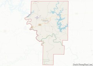
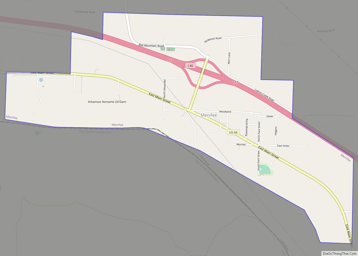
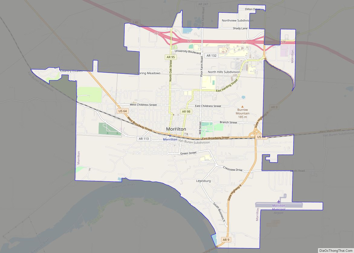
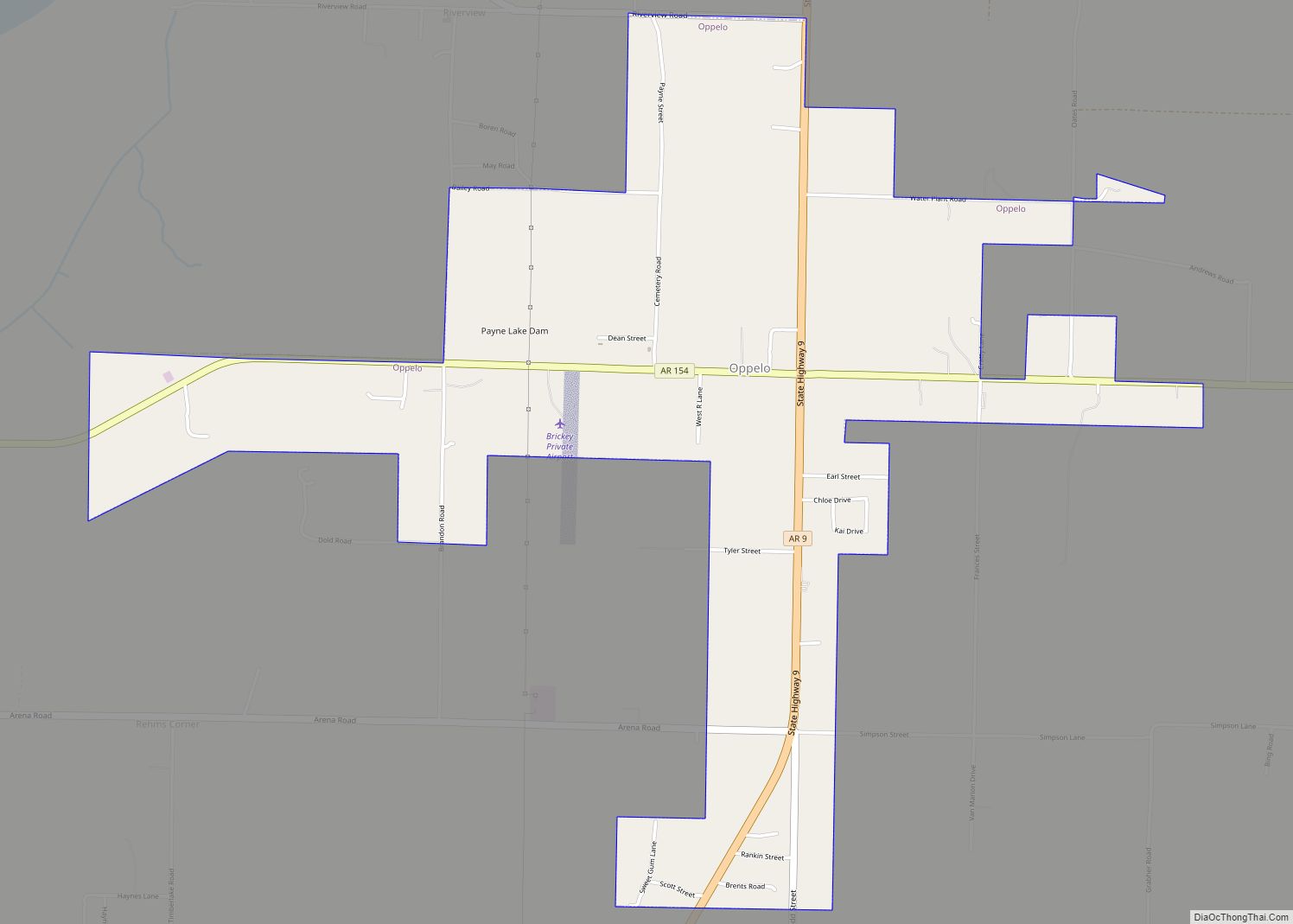
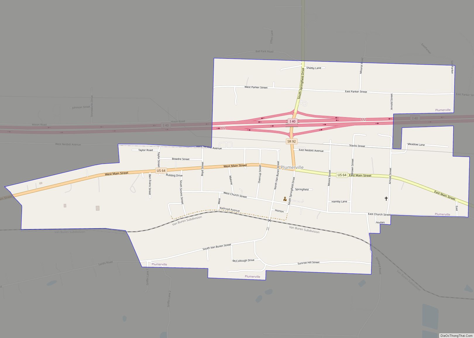
Conway County is a county located in the U.S. state of Arkansas. Created as Arkansas’s 11th county on October 20, 1825, Conway County has four incorporated municipalities, including Morrilton, the county seat and most populous city. The county is also the site of numerous unincorporated communities and ghost towns. The county is named for Henry Wharton Conway, a politician from a powerful political family who served as the delegate from the Arkansas Territory to the U.S. Congress from 1823 to 1827.
As of the 2020 census, the population was 20,715. The county seat is Morrilton. The county was formed on October 20, 1825, from a portion of Pulaski County and named for Henry Wharton Conway who was the territorial delegate to the U.S. Congress.
In 2010, the center of population of Arkansas was located in Conway County, near the city of Plumerville.
| Name: | Conway County |
|---|---|
| FIPS code: | 05-029 |
| State: | Arkansas |
| Founded: | October 20, 1825 |
| Named for: | Henry Wharton Conway |
| Seat: | Morrilton |
| Largest city: | Morrilton |
| Total Area: | 566.66 sq mi (1,467.6 km²) |
| Land Area: | 556.15 sq mi (1,440.4 km²) |
| Total Population: | 20,715 |
| Population Density: | 37/sq mi (14/km²) |
| Time zone: | UTC−6 (Central) |
| Summer Time Zone (DST): | UTC−5 (CDT) |
| Website: | conwaycountyar.com |
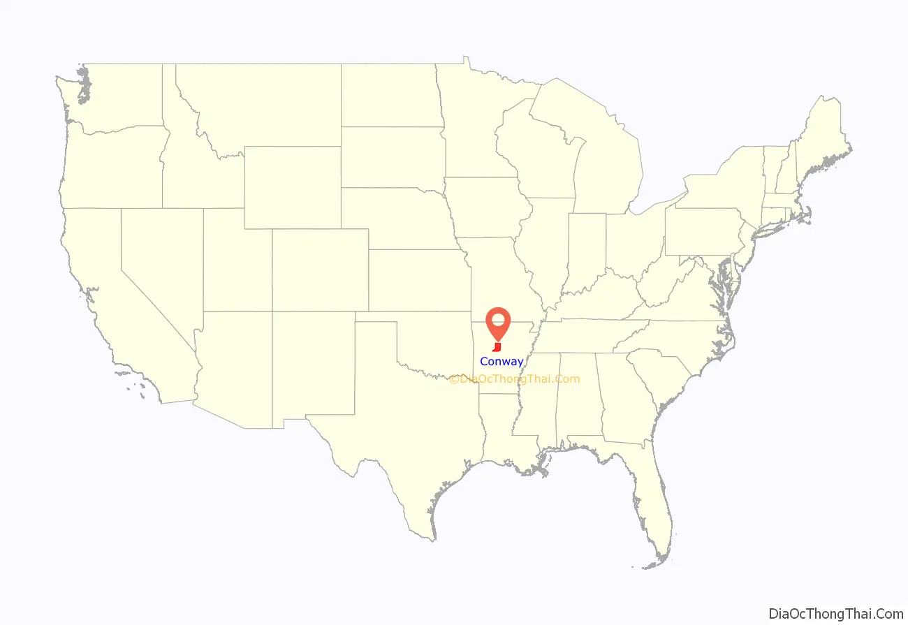
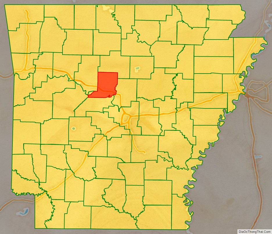
Conway County location map. Where is Conway County?
History
Conway County was formed on October 20, 1825, from a portion of Pulaski County and named for Henry Wharton Conway, who was the territorial delegate to the U.S. Congress.
From 1831 until 1883, Lewisburg was the county seat. When the Little Rock and Fort Smith Railroad planned built tracks 1 mile (1.6 km) north of Lewisburg in 1871, the proposed depot was to be named Morrilton after farmer E. J. Morrill, who sold the land to the railroad. People relocated from Lewisburg to Morrilton beginning in 1880, county government was relocated in 1883, and the depot was built in 1910.
Conway County was much larger upon creation. Van Buren County was created from parts of Conway, Izard, and Independence counties on November 11, 1833. Perry County was created from Conway County on December 18, 1840. Faulkner County was created from parts of Conway and Pulaski counties on April 12, 1873.
Conway County Road Map
Geography
Conway County is within the Arkansas River Valley region, a fertile, low-lying valley along the Arkansas River between the Ozark Mountains to the north and the Ouachita Mountains to the south.
According to the U.S. Census Bureau, the county has a total area of 567 square miles (1,470 km), of which 552 square miles (1,430 km) is land and 14 square miles (36 km) (2.5%) is water. It is the fifth-smallest county in Arkansas by area.
The county is located approximately 52 miles (84 km) northwest of Little Rock, 109 miles (175 km) east of Fort Smith, and 180 miles (290 km) west of Memphis, Tennessee. Conway County is surrounded by two Central Arkansas counties: Faulkner County to the east and Perry County to the south, and three River Valley/mountain counties: Van Buren County to the north, Yell County to the southwest, and Pope County to the west.
Hydrology
Protected areas
The northern 16 square kilometres (1,600 hectares) of Conway County is protected within the Ozark National Forest, a small part of a large protected forest spanning parts of 16 Arkansas counties. Petit Jean State Park, is Arkansas’s oldest state park, rises from the River Valley in southern Conway County along the top of Petit Jean Mountain.
Conway County is home to five Wildlife Management Areas (WMAs) under Arkansas Game and Fish Commission jurisdiction. Ed Gordon Point Remove WMA is a wetland near the confluence of the East Fork and West Fork of Point Remove Creek in western Conway County. The area is known for duck, deer, and dove hunting. Lake Overcup WMA is a noted crappie fishing lake created by AGFC in 1963. Cypress Creek WMA is located around the shore of Brewer Lake, a fishing lake built in 1983 to construct a water supply for Conway, as well as containing parts of the Cherokee WMA and a small part of Piney Creeks WMA. The county is also home to the Cove Creek Natural Area.
