Plumerville is a city in Conway County, Arkansas, United States. The population was 826 at the 2010 census.
| Name: | Plumerville city |
|---|---|
| LSAD Code: | 25 |
| LSAD Description: | city (suffix) |
| State: | Arkansas |
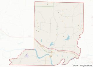
| County: | Conway County |
| Elevation: | 315 ft (96 m) |
| Total Area: | 1.04 sq mi (2.70 km²) |
| Land Area: | 1.03 sq mi (2.67 km²) |
| Water Area: | 0.01 sq mi (0.04 km²) |
| Total Population: | 734 |
| Population Density: | 713.31/sq mi (275.37/km²) |
| ZIP code: | 72127 |
| Area code: | 501 |
| FIPS code: | 0556480 |
| GNISfeature ID: | 2404542 |
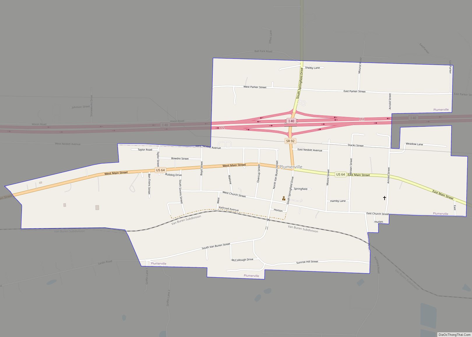
Online Interactive Map
Click on ![]() to view map in "full screen" mode.
to view map in "full screen" mode.
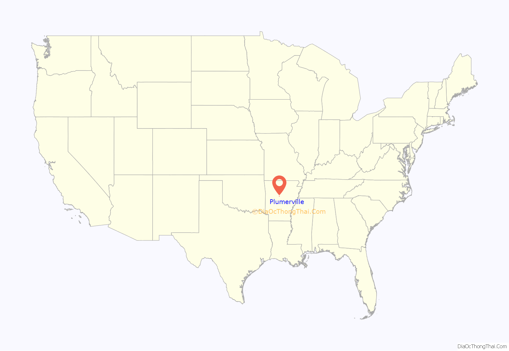
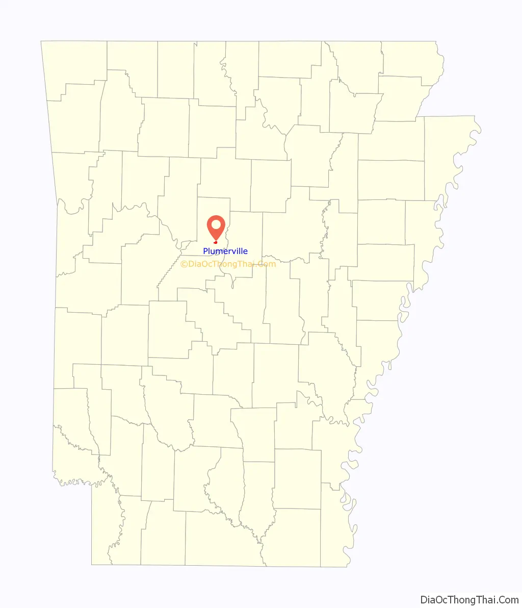
Plumerville location map. Where is Plumerville city?
History
Plumerville began as Plummer’s Station, a stage station on the Fort Smith to Memphis branch of the Butterfield Overland Mail.
The old downtown area of Plumerville was completely destroyed by fire in 1987. The old town jail or “calaboose” (built circa 1880) still stands intact on Springfield Street near the new city hall.
Assassination
John Middleton Clayton (October 13, 1840 – January 29, 1889) was a Republican carpetbagger to Arkansas, originally from Pennsylvania. He was also the younger brother of Powell Clayton, a Governor of Arkansas.
In 1871, John Clayton was elected to the Arkansas House of Representatives, representing Jefferson County, and in 1873 he served in the Arkansas Senate representing Jefferson, Bradley, Grant and Lincoln counties, also serving as Speaker of the Senate pro tempore for part of his term.
He is best remembered today from his mysterious assassination in 1889. In 1888, he ran for the office of Arkansas’s 2nd congressional district in the United States House of Representatives, going up against incumbent Democrat Clifton R. Breckinridge. The election became one of the most fraudulent in Arkansas’ history. Clayton lost the election by a margin of 846 votes of over 34,000 votes cast. However, in one case in Conway County, four masked, armed white men stormed into a predominantly black voting precinct and, at gunpoint, stole the ballot box that contained a large majority of votes for Clayton. Losing under such circumstances, Clayton decided to contest the election and went to Plumerville to start an investigation on the matter. On the evening of January 29, 1889, an unknown assailant shot through the window to the room he was staying in at a local boarding house (still standing at 101 N. Springfield Street) and killed him instantly. He was later declared the winner of the election and Breckinridge was unseated and the seat declared vacant. Clayton’s assassin was never found. Breckinridge was not found guilty in any wrongdoing in the rigged election or in Clayton’s assassination and was elected to fill the vacant seat in 1890.
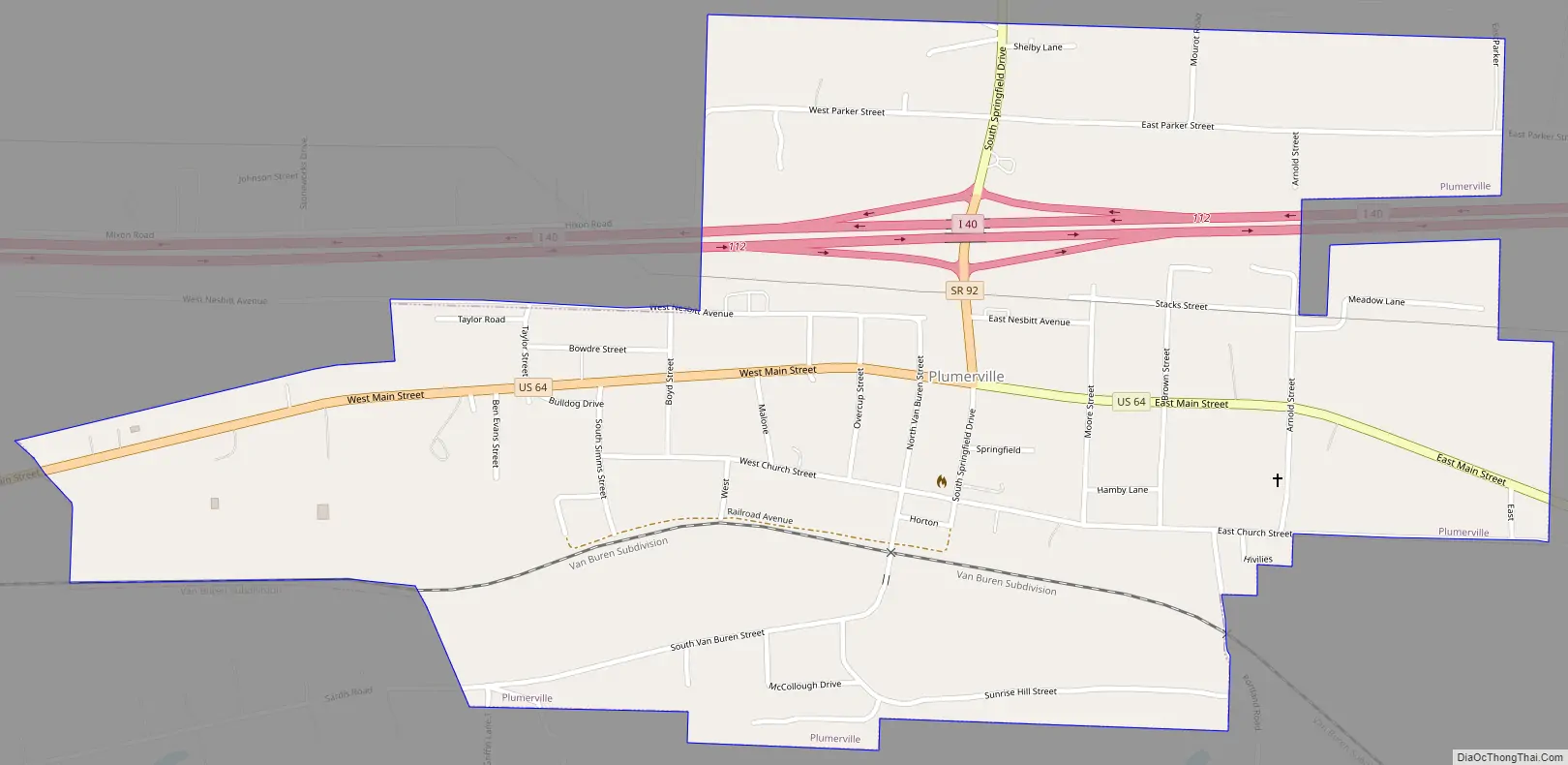
Plumerville Road Map
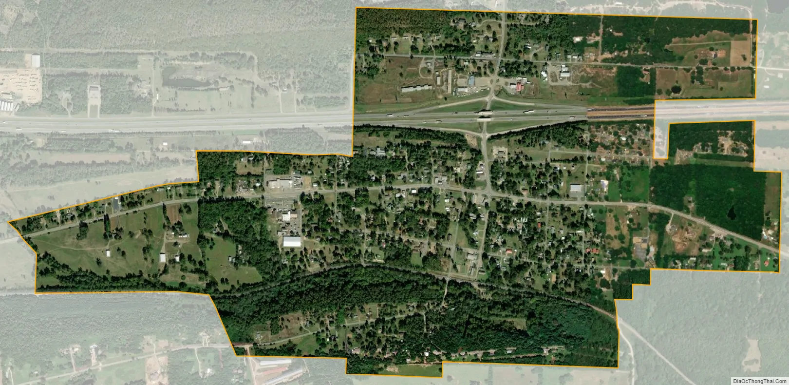
Plumerville city Satellite Map
Geography
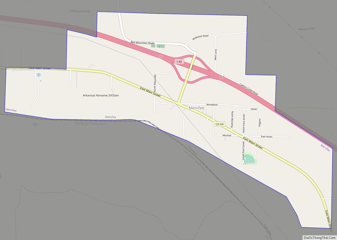
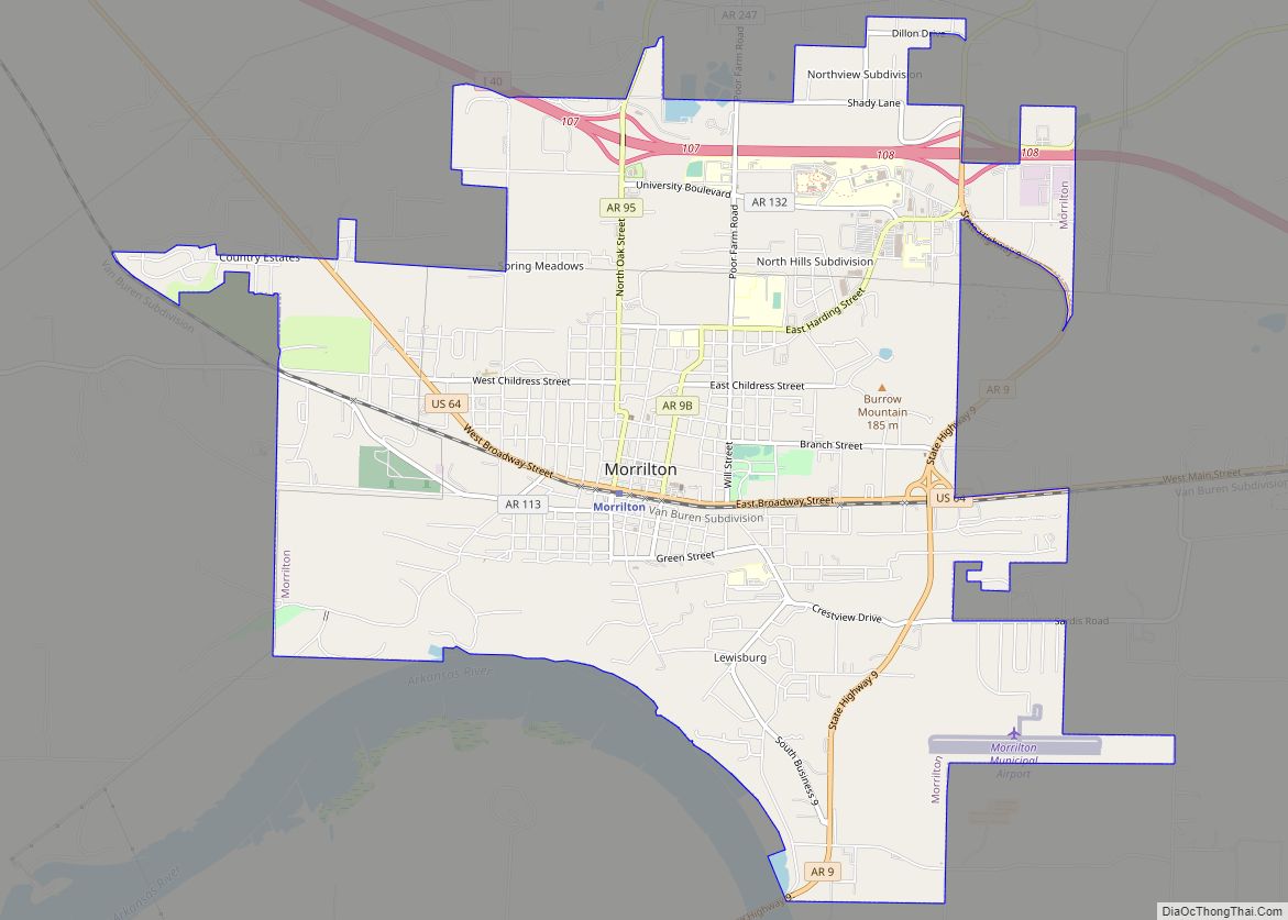
Plumerville is located in southern Conway County at 35°9′39″N 92°38′34″W / 35.16083°N 92.64278°W / 35.16083; -92.64278 (35.160896, -92.642794), along U.S. Route 64, which leads east 5 miles (8 km) to Menifee and west 6 miles (10 km) to Morrilton, the county seat. Interstate 40 passes through the northern edge of the city with access from one exit and leads southeast 45 miles (72 km) to Little Rock and west 113 miles (182 km) to Fort Smith.
According to the United States Census Bureau, Plumerville has a total area of 1.2 square miles (3.0 km), of which 0.02 square miles (0.04 km), or 1.39%, is water.
See also
Map of Arkansas State and its subdivision:- Arkansas
- Ashley
- Baxter
- Benton
- Boone
- Bradley
- Calhoun
- Carroll
- Chicot
- Clark
- Clay
- Cleburne
- Cleveland
- Columbia
- Conway
- Craighead
- Crawford
- Crittenden
- Cross
- Dallas
- Desha
- Drew
- Faulkner
- Franklin
- Fulton
- Garland
- Grant
- Greene
- Hempstead
- Hot Spring
- Howard
- Independence
- Izard
- Jackson
- Jefferson
- Johnson
- Lafayette
- Lawrence
- Lee
- Lincoln
- Little River
- Logan
- Lonoke
- Madison
- Marion
- Miller
- Mississippi
- Monroe
- Montgomery
- Nevada
- Newton
- Ouachita
- Perry
- Phillips
- Pike
- Poinsett
- Polk
- Pope
- Prairie
- Pulaski
- Randolph
- Saint Francis
- Saline
- Scott
- Searcy
- Sebastian
- Sevier
- Sharp
- Stone
- Union
- Van Buren
- Washington
- White
- Woodruff
- Yell
- Alabama
- Alaska
- Arizona
- Arkansas
- California
- Colorado
- Connecticut
- Delaware
- District of Columbia
- Florida
- Georgia
- Hawaii
- Idaho
- Illinois
- Indiana
- Iowa
- Kansas
- Kentucky
- Louisiana
- Maine
- Maryland
- Massachusetts
- Michigan
- Minnesota
- Mississippi
- Missouri
- Montana
- Nebraska
- Nevada
- New Hampshire
- New Jersey
- New Mexico
- New York
- North Carolina
- North Dakota
- Ohio
- Oklahoma
- Oregon
- Pennsylvania
- Rhode Island
- South Carolina
- South Dakota
- Tennessee
- Texas
- Utah
- Vermont
- Virginia
- Washington
- West Virginia
- Wisconsin
- Wyoming