Boonville is a city and the county seat of Cooper County, Missouri, United States. The population was 7,964 at the 2020 census. The city was the site of a skirmish early in the Civil War, on July 17, 1861. Union forces defeated the Missouri State Guard in the first Battle of Boonville. It is part of the Columbia, Missouri metropolitan area.
| Name: | Boonville city |
|---|---|
| LSAD Code: | 25 |
| LSAD Description: | city (suffix) |
| State: | Missouri |
| County: | Cooper County |
| Founded: | 1817 |
| Elevation: | 679 ft (207 m) |
| Total Area: | 8.06 sq mi (20.88 km²) |
| Land Area: | 7.72 sq mi (19.98 km²) |
| Water Area: | 0.34 sq mi (0.89 km²) |
| Total Population: | 7,964 |
| Population Density: | 1,032.14/sq mi (398.51/km²) |
| ZIP code: | 65233 |
| Area code: | 660 |
| FIPS code: | 2907318 |
| GNISfeature ID: | 2394222 |
| Website: | http://boonvillemo.org/ |
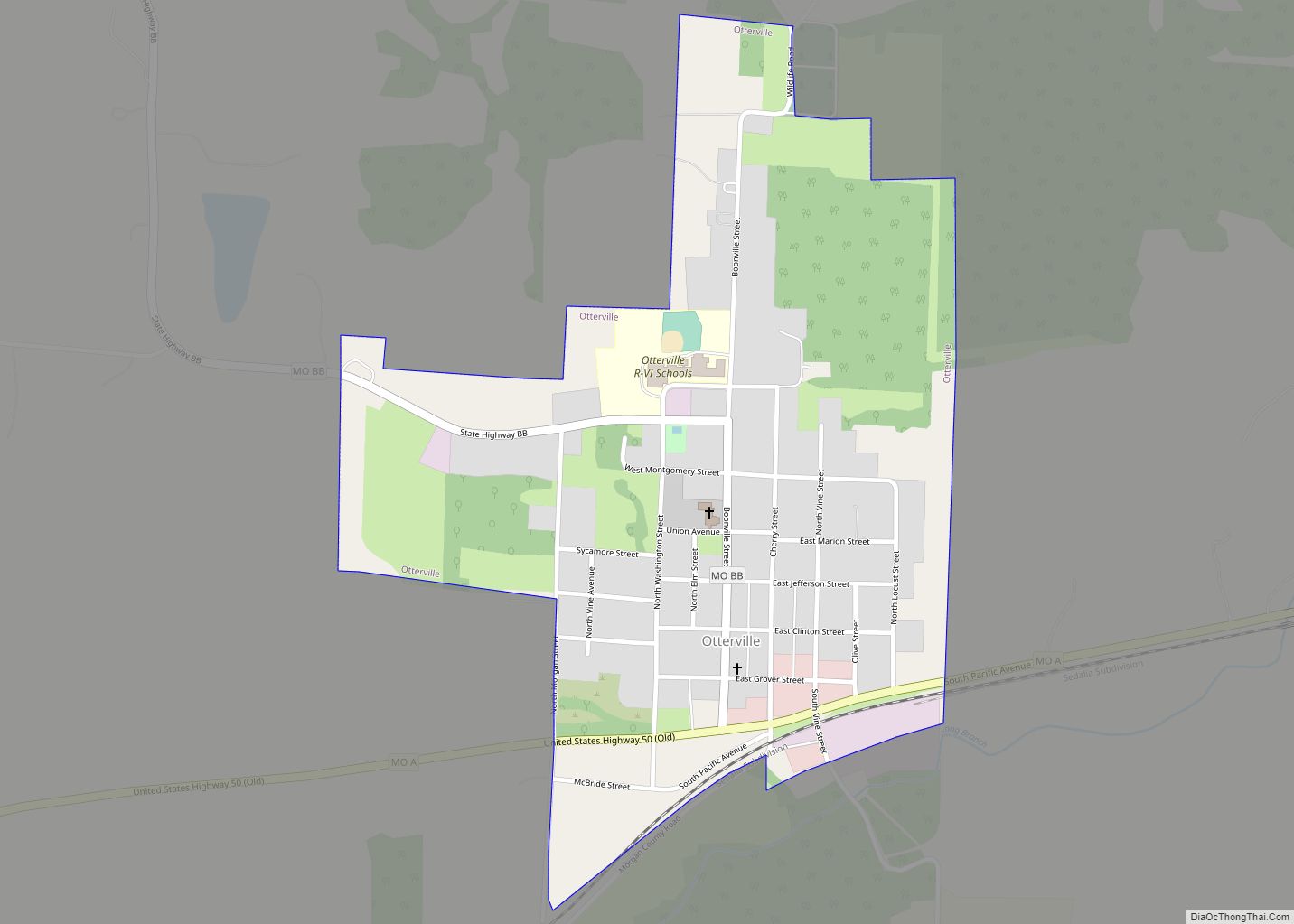
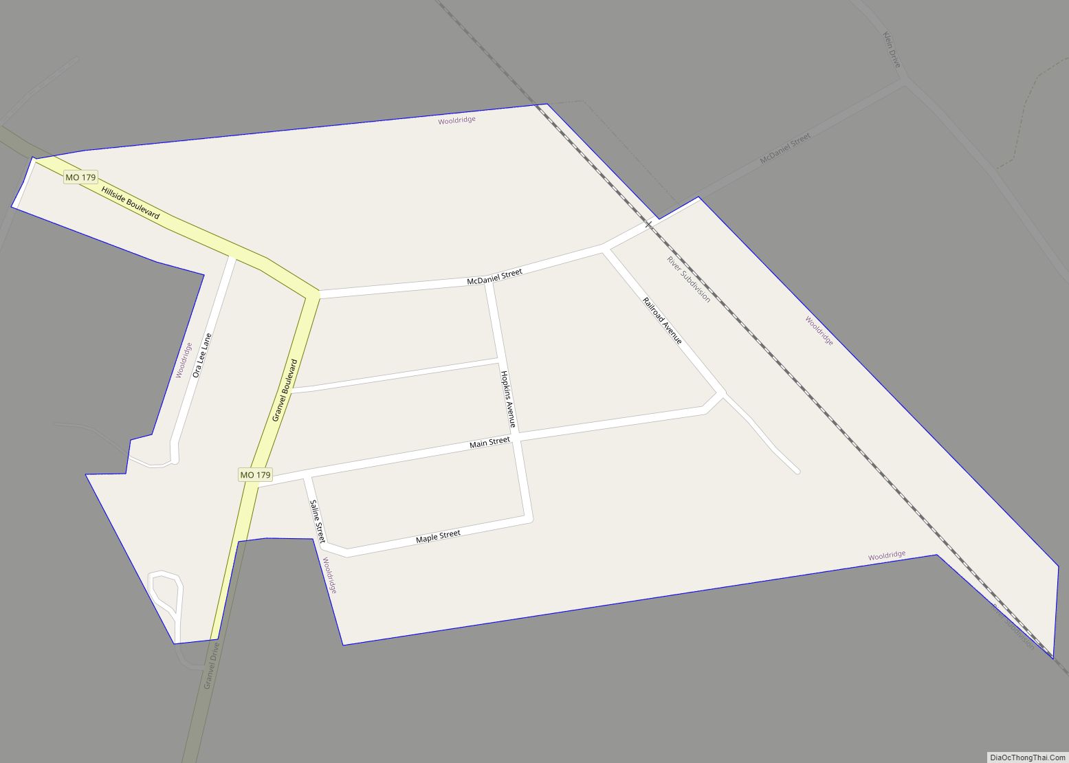
Online Interactive Map
Click on ![]() to view map in "full screen" mode.
to view map in "full screen" mode.
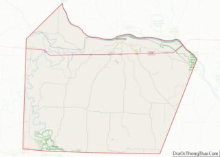
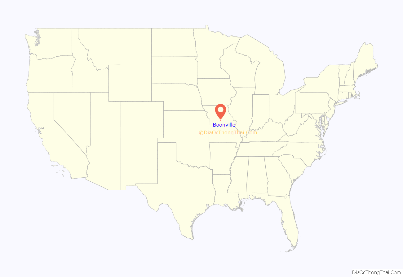
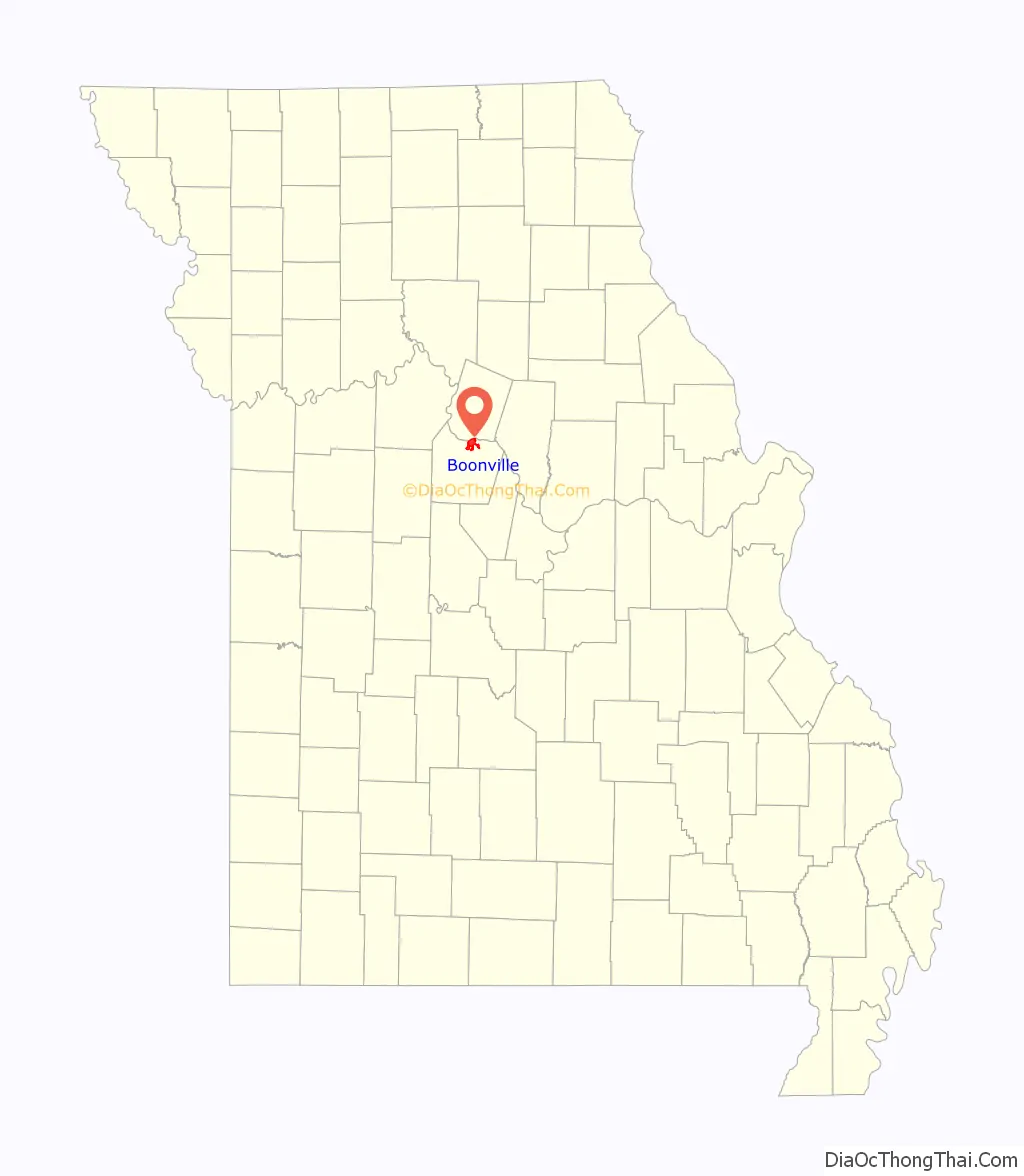
Boonville location map. Where is Boonville city?
History
The community derives its name from Nathan and Daniel Morgan Boone, who were the sons of Daniel Boone and established their salt business near the community in the early 1800s, delivering their product from salt licks to St. Louis. The area has been called “Boone’s Lick” and the route from the lick to St. Charles/St. Louis, Missouri is called the Boone’s Lick Trail. The eastern terminus near Boonville at Franklin, Missouri is considered the original start of the Santa Fe Trail.
The first pioneers were Hannah and Stephen Cole, who settled in 1810. During skirmishes with Native Americans in the War of 1812 they moved to a fort on the north side of the Missouri River (called on markers as “Hannah Cole Fort”). That fort subsequently became the first county seat of Howard County, Missouri.
After the war, the town was formally laid out in 1817 by Asa Morgan and Charles Lucas. Boonville was named the county seat in 1818.
The community’s position on the Santa Fe Trail and Missouri River led to many historically important residents during the era of westward expansion, including politicians William Ash (a former slave turned Virginia General Assemblyman), David Barton, George Graham Vest (famous for his “man’s best friend” closing argument in an 1869 trial), and self-taught artist George Caleb Bingham.
The Cooper County Jail was built in 1848 and remained in place until 1979 with a claim that it was the longest-serving jail in Missouri history.
In 1855, Thespian Hall opened, and today claims to be the oldest continuously running theatre west of the Allegheny Mountains.
More than 400 buildings (most in 14 separate historical districts) are listed on National Register of Historic Places listings in Cooper County, Missouri.
During the American Civil War, the community was fought over and held by both Union and Confederate forces, beginning with the Battle of Boonville on June 17, 1861 (a month before the First Battle of Bull Run) which gave the Union control of the Missouri River. The Second Battle of Boonville occurred on September 13, 1861. The community would be captured by Sterling Price in 1864 in Price’s Raid.
The city was a strategic target because of its location on the Missouri Pacific Railroad. The track was subsequently taken over by the Missouri–Kansas–Texas Railroad. In the 1980s, the track section that traversed the town was converted into parkland, as part of Katy Trail State Park. Today, the “Katy Trail” is the longest rails to trails system in the United States.
In 2008, Anheuser-Busch InBev opened the Warm Springs Ranch east of Boonville as the primary breeding farm for the Budweiser Clydesdales.
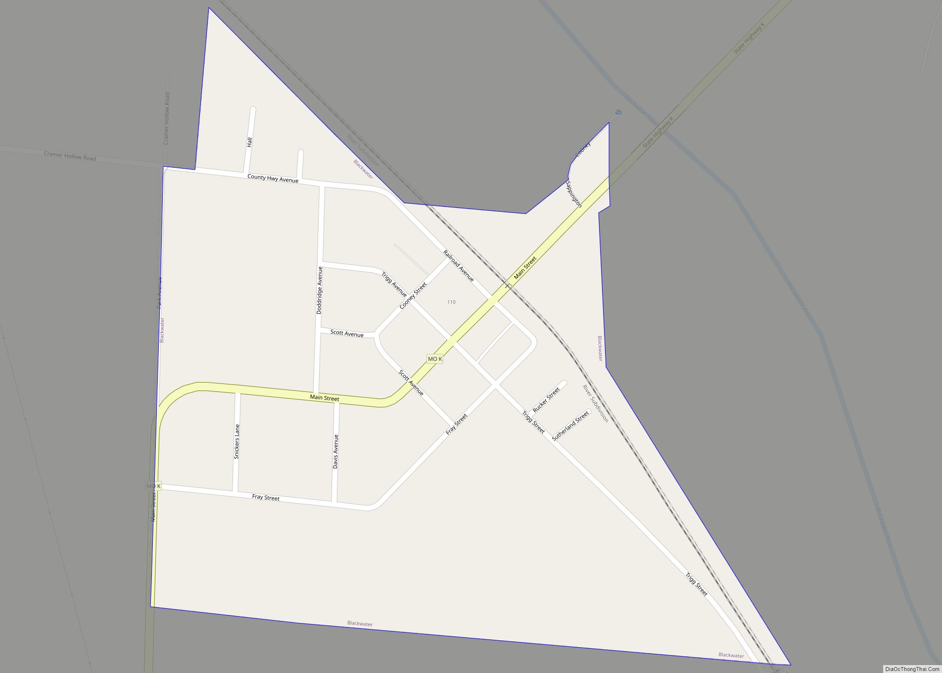
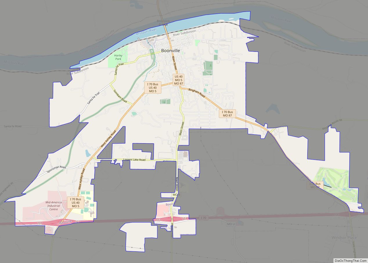
Boonville Road Map
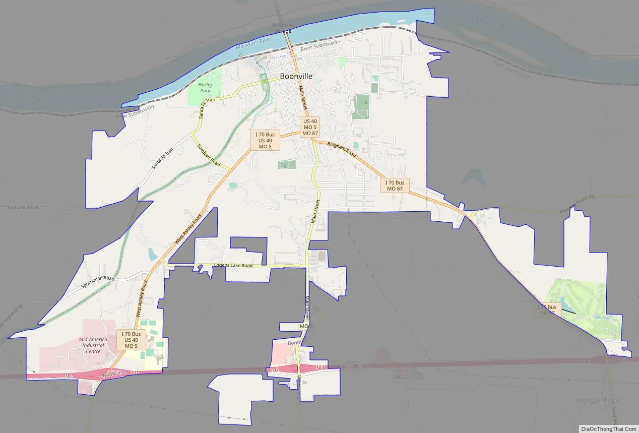
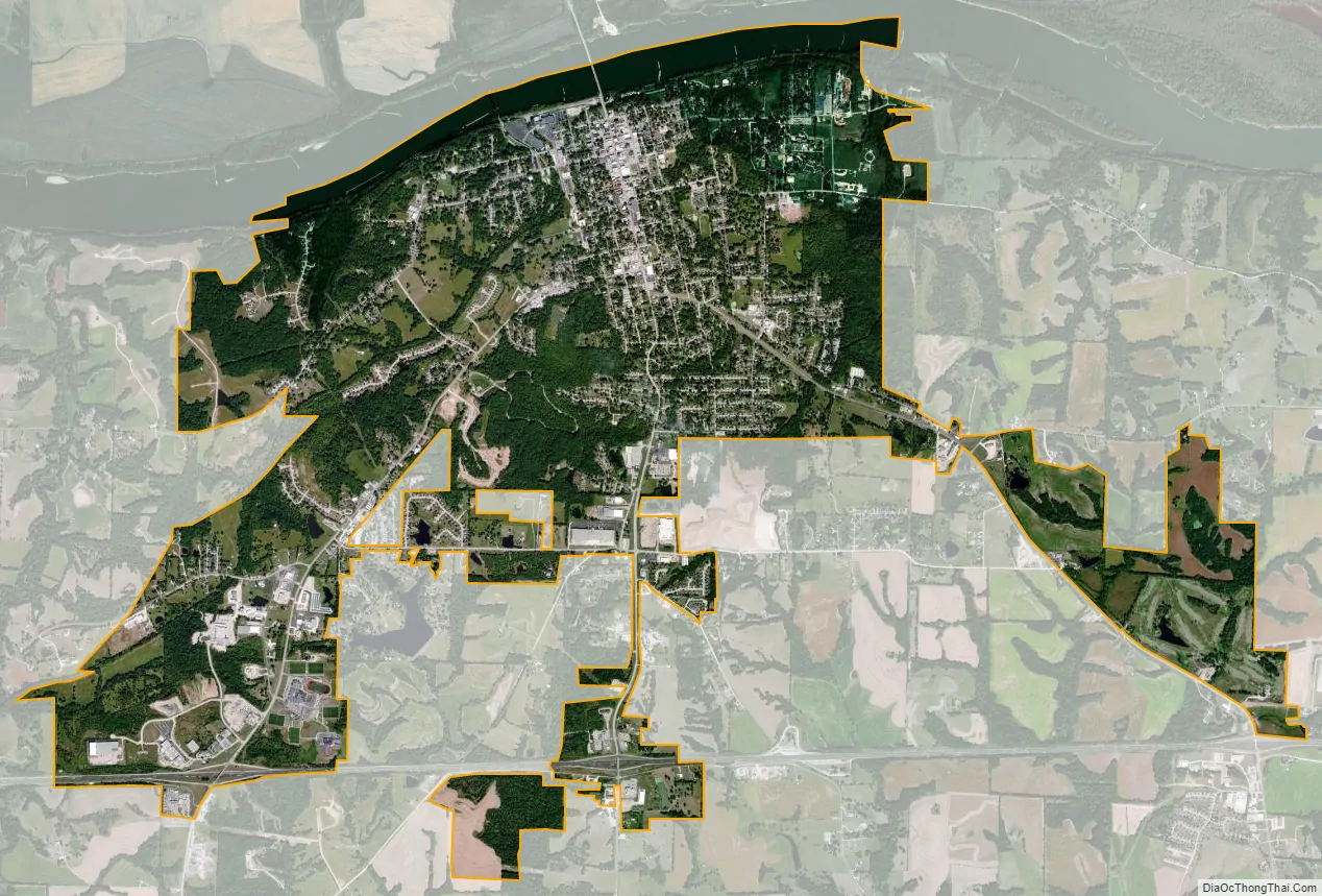
Boonville city Satellite Map
Geography
According to the United States Census Bureau, the city has a total area of 7.21 square miles (18.67 km), of which 6.89 square miles (17.85 km) is land and 0.32 square miles (0.83 km) is water.
See also
Map of Missouri State and its subdivision:- Adair
- Andrew
- Atchison
- Audrain
- Barry
- Barton
- Bates
- Benton
- Bollinger
- Boone
- Buchanan
- Butler
- Caldwell
- Callaway
- Camden
- Cape Girardeau
- Carroll
- Carter
- Cass
- Cedar
- Chariton
- Christian
- Clark
- Clay
- Clinton
- Cole
- Cooper
- Crawford
- Dade
- Dallas
- Daviess
- De Kalb
- Dent
- Douglas
- Dunklin
- Franklin
- Gasconade
- Gentry
- Greene
- Grundy
- Harrison
- Henry
- Hickory
- Holt
- Howard
- Howell
- Iron
- Jackson
- Jasper
- Jefferson
- Johnson
- Knox
- Laclede
- Lafayette
- Lawrence
- Lewis
- Lincoln
- Linn
- Livingston
- Macon
- Madison
- Maries
- Marion
- McDonald
- Mercer
- Miller
- Mississippi
- Moniteau
- Monroe
- Montgomery
- Morgan
- New Madrid
- Newton
- Nodaway
- Oregon
- Osage
- Ozark
- Pemiscot
- Perry
- Pettis
- Phelps
- Pike
- Platte
- Polk
- Pulaski
- Putnam
- Ralls
- Randolph
- Ray
- Reynolds
- Ripley
- Saint Charles
- Saint Clair
- Saint Francois
- Saint Louis
- Sainte Genevieve
- Saline
- Schuyler
- Scotland
- Scott
- Shannon
- Shelby
- Stoddard
- Stone
- Sullivan
- Taney
- Texas
- Vernon
- Warren
- Washington
- Wayne
- Webster
- Worth
- Wright
- Alabama
- Alaska
- Arizona
- Arkansas
- California
- Colorado
- Connecticut
- Delaware
- District of Columbia
- Florida
- Georgia
- Hawaii
- Idaho
- Illinois
- Indiana
- Iowa
- Kansas
- Kentucky
- Louisiana
- Maine
- Maryland
- Massachusetts
- Michigan
- Minnesota
- Mississippi
- Missouri
- Montana
- Nebraska
- Nevada
- New Hampshire
- New Jersey
- New Mexico
- New York
- North Carolina
- North Dakota
- Ohio
- Oklahoma
- Oregon
- Pennsylvania
- Rhode Island
- South Carolina
- South Dakota
- Tennessee
- Texas
- Utah
- Vermont
- Virginia
- Washington
- West Virginia
- Wisconsin
- Wyoming