Map of American Samoa

Map of American Samoa

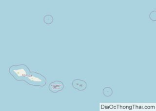
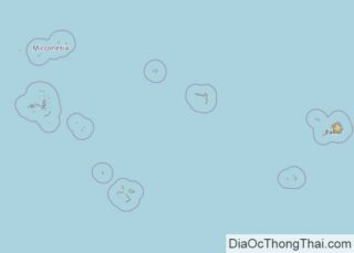
Covering a total land area of 199 sq.km, American Samoa is composed of 5 principal islands (Tutuila, Ta’u, Olosega, Ofu and Aunuu) and 2 coral atolls. It is the southernmost unincorporated overseas territory of the United States, located in the South Pacific Ocean. Out of the 5 principal islands and 2 coral atolls, the Rose … Read more

Map of Dominica

Map of Dominica

The island nation of Dominica in the Caribbean Sea, is volcanic in origin. It has a total area of 750 sq. km (290 sq mi). As observed on the physical map of Dominica, the terrain is mostly mountainous. The landscape is also almost totally covered by rainforest. Across the island, north to south and east to west, … Read more

Map of Tonga

Map of Tonga

Covering a total area of 750 sq.km (289 sq mi), Tonga is an archipelago composed of 169 islands, of which only 36 islands are inhabited and is located in the South Pacific Ocean. The three largest islands are Tongatapu, Ha’apai, and Vava’u, with Tongatapu being the most populated. Due to its location within the Pacific Ring of … Read more

Map of São Tomé & Príncipe

Map of São Tomé & Príncipe

São Tomé and Príncipe, one of the smallest African countries, is located on the Gulf of Guinea in the Atlantic Ocean. It has a total area of around 1,001 sq. km and a coastline of about 209 km. As observed in the physical map of the country, it has two major islands, São Tomé and Príncipe from … Read more

Map of Micronesia

Map of Micronesia

Covering a combined land area of 702 sq.km (271 sq mi), the Federated States of Micronesia is a sovereign island nation and an associated state of the United States comprising of about 607 islands and islets of the Caroline Islands Archipelago in North Pacific Ocean. Despite its small land area, FSM actually occupies 2,600,000 sq.km, of the … Read more

Map of Palau

Map of Palau

Covering an area of 466 sq.km (177 sq mi), the island nation of Palau comprises of 340 coral and volcanic islands located in the western Pacific Ocean. Palau consists of the far-western portion of the Caroline Islands, including the larger islands of Babeldaob, Angaur, Babulthuap, EilMalk, Koror, Peleiu and Urukthapel. Palau is a beautiful tropical paradise, and … Read more

Map of Marshall Islands

Map of Marshall Islands

Covering a total land area of only 180 sq.km (70.05 sq mi), Marshall Islands consist of 29 low-lying coral atolls comprising 1,156 individual islands and islets; scattered over a wide area in central Pacific Ocean. Marshall Islands are composed of coral islands and islets which have accumulated on its atoll reefs and are formed on top of … Read more

Map of Kiribati

Map of Kiribati

Covering a total land area of 811 sq.km (313 sq mi), the widely scattered nation of Kiribati comprises of 32 atolls and one raised coral island (Banaba), spread over 3.5 million sq.km at the heart of the Pacific Ocean. These low-lying coral atolls are the protruding tips of undersea volcanoes and extend only a few feet above … Read more

Map of Nauru

Map of Nauru

Covering an area of only 21 sq.km (8.1 sq mi), Nauru is an island nation and a microstate in Oceania, located in southwestern Pacific Ocean. Nauru is a raised, fossilized coral atoll and is one of the three great phosphate rock islands in the Pacific Ocean. The island is dominated by a central phosphate plateau which is … Read more

Map of Tuvalu

Map of Tuvalu

Covering a total land area of only 26 sq. km, Tuvalu is a Polynesian island nation located in the west-central Pacific Ocean. As observed on the map, Tuvalu is an archipelago that is composed of three reef islands (Nanumanga, Niutao, and Niulakita) and six true coral atolls (Funafuti, Nanumea, Nui, Nukulaelae, and Vaitupu), along with … Read more

Map of North Korea

Map of North Korea

North Korea covers an area of 120,540 sq. km in the northern half of the Korean Peninsula.  As observed on the physical map of North Korea above, the country is very mountainous. Several mountain ranges and uplands area crisscross the country separated by deep narrow valleys.  As marked on the map by a yellow upright … Read more

Map of Taiwan

Map of Taiwan

Taiwan is an island country located at the western edge of the Pacific Ocean. The main island of the country covers an area of 35,808 sq. km.  About two-thirds of Taiwan is a rugged mountain landscape. As observed on the physical map of Taiwan, the Chung-yang Shan range (central) dominates the island. It has over … Read more