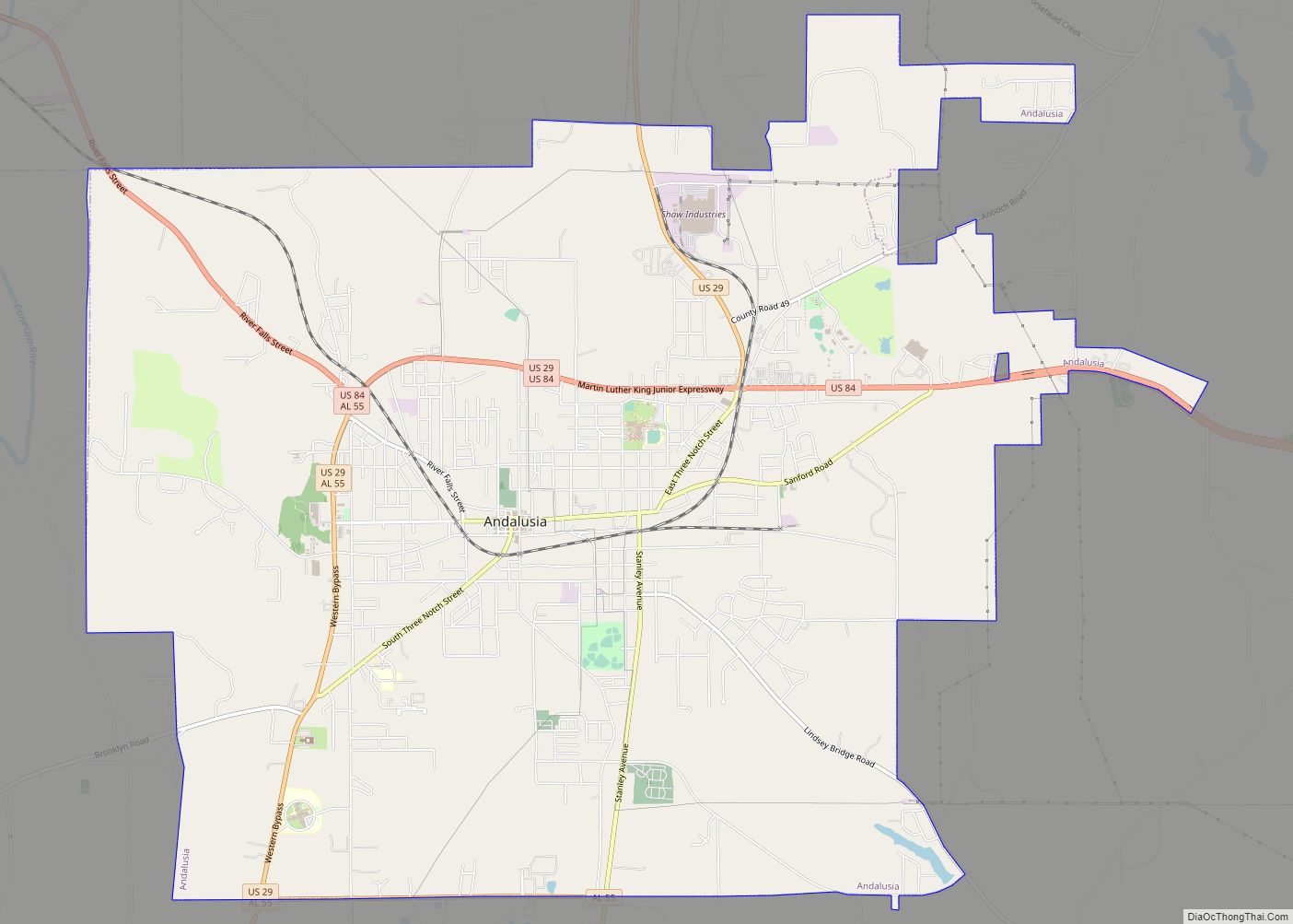
Andalusia is a city in and the county seat of Covington County, Alabama, United States. At the 2020 census, the population was 8,805.
| Name: | Andalusia city |
|---|---|
| LSAD Code: | 25 |
| LSAD Description: | city (suffix) |
| State: | Alabama |
| County: | Covington County |
| Incorporated: | 1884 |
| Elevation: | 348 ft (106 m) |
| Total Area: | 19.81 sq mi (51.32 km²) |
| Land Area: | 19.66 sq mi (50.91 km²) |
| Water Area: | 0.16 sq mi (0.41 km²) |
| Total Population: | 8,805 |
| Population Density: | 447.93/sq mi (172.95/km²) |
| ZIP code: | 36420 and 36421 |
| Area code: | 334 |
| FIPS code: | 0101708 |
| GNISfeature ID: | 0133361 |
| Website: | www.cityofandalusia.com |
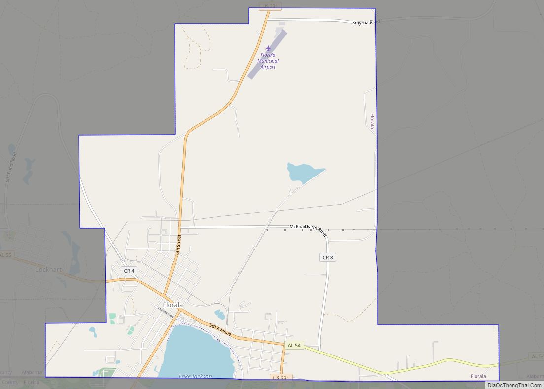
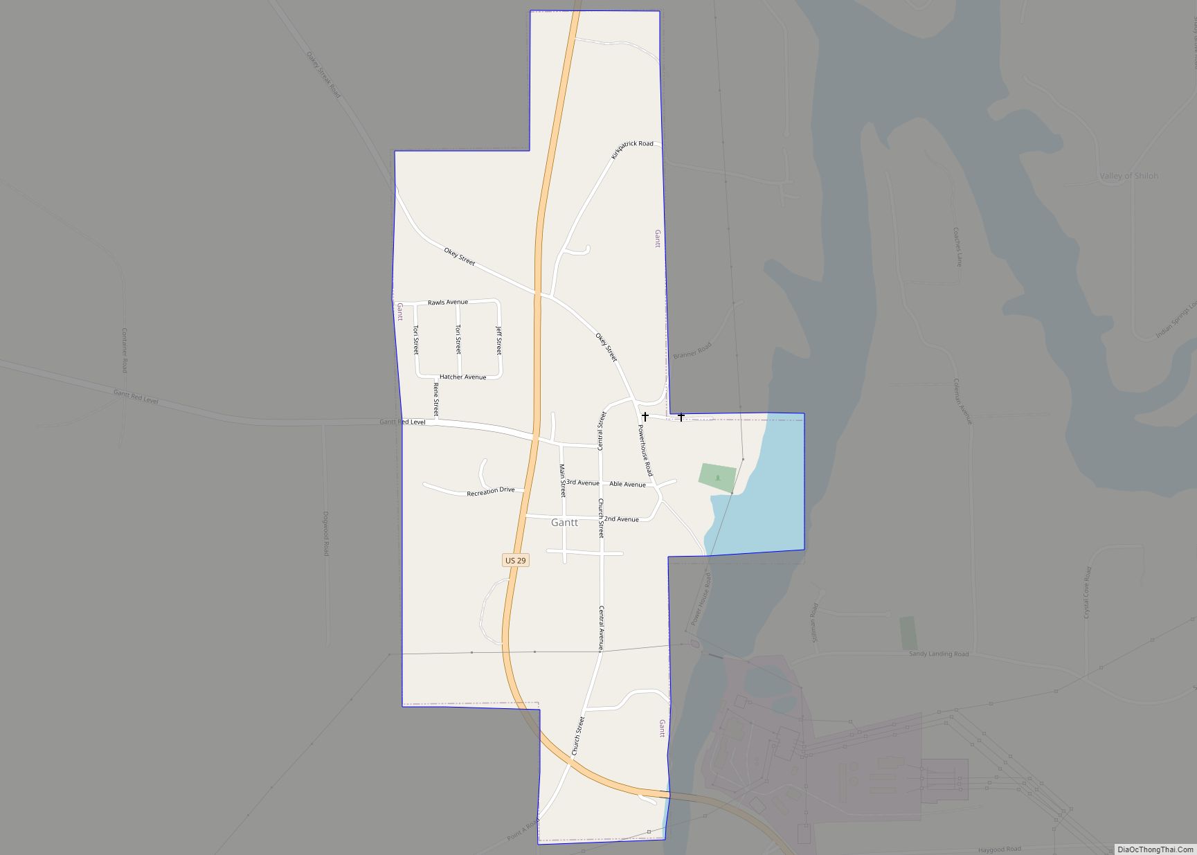
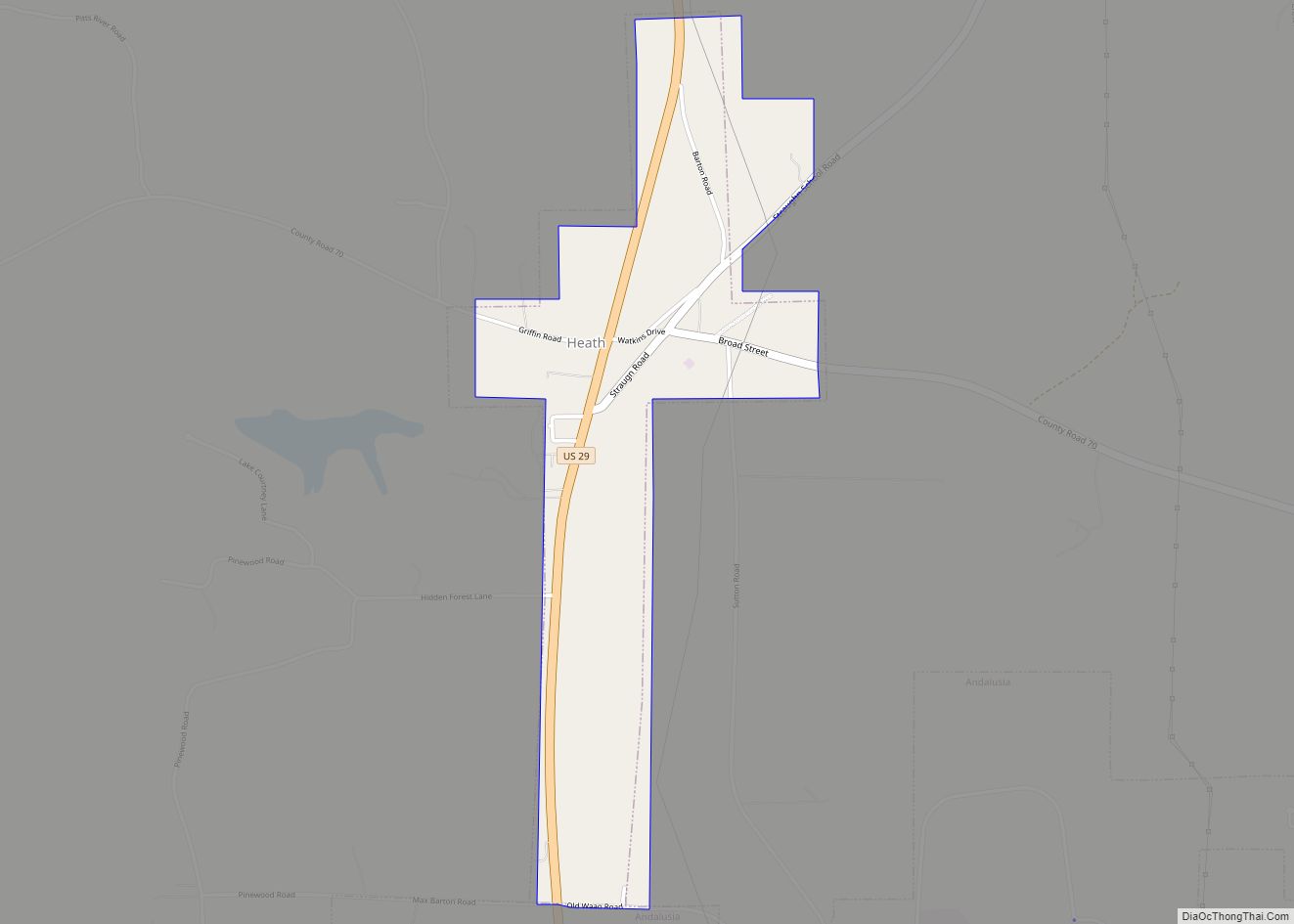
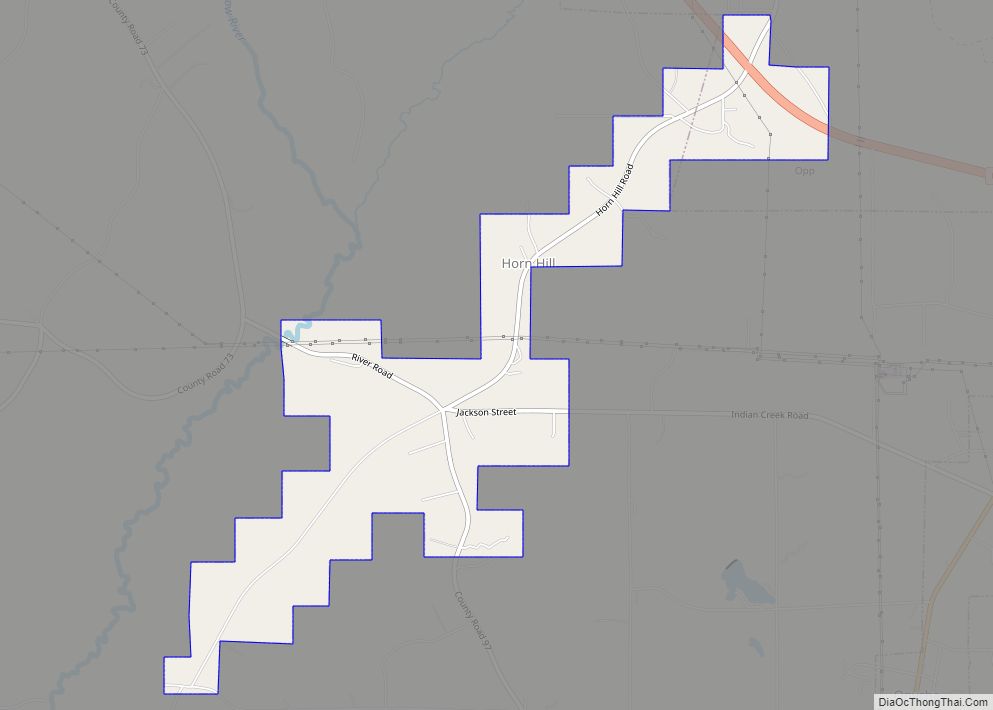
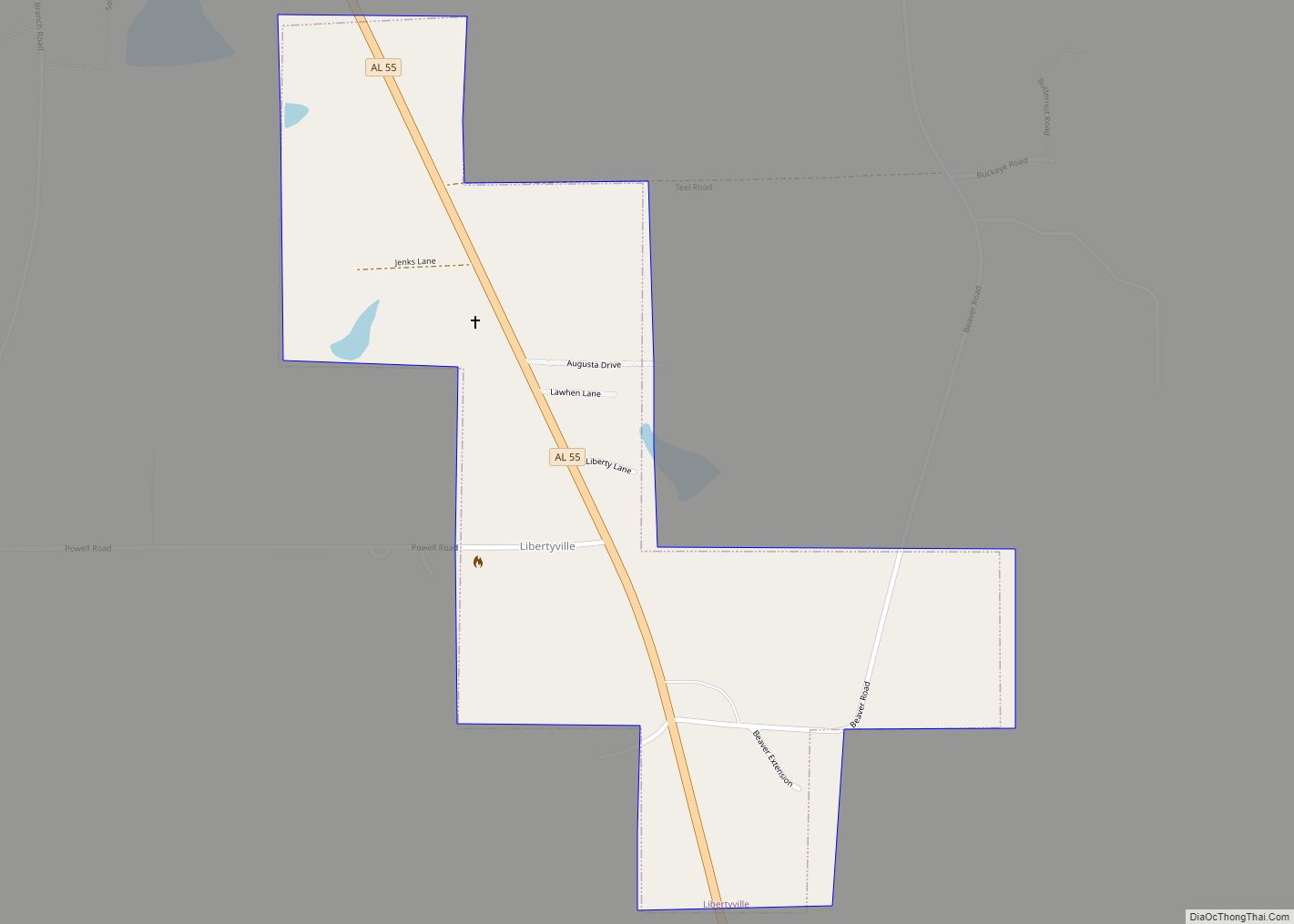
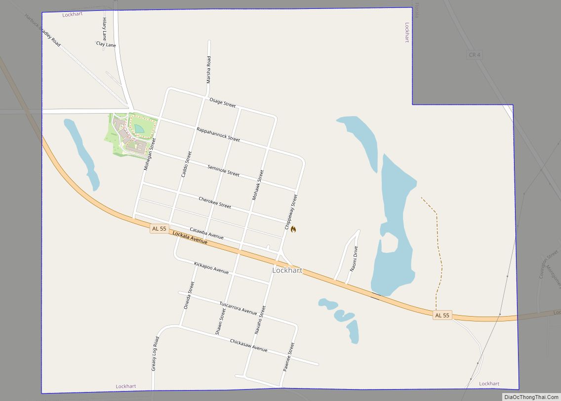
Online Interactive Map
Click on ![]() to view map in "full screen" mode.
to view map in "full screen" mode.
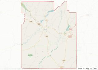
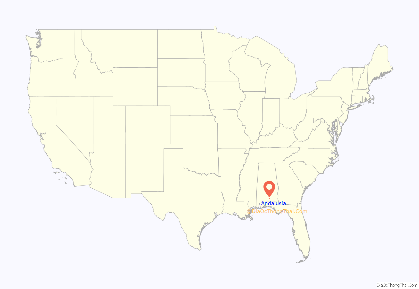
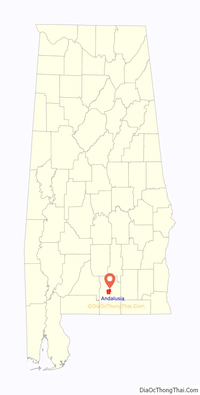
Andalusia location map. Where is Andalusia city?
History
Andalusia was first settled in 1841 after flooding of the Conecuh River and the surrounding lowlands forced citizens to move to higher ground. The county seat was moved from Montezuma to Andalusia in 1844. Andalusia likely got its name from Spanish explorers or settlers since the land where the town is located was part of Spanish Florida until Pinckney’s Treaty in 1795. Andalusia shares its name with the autonomous community of Andalusia in southern Spain. The new town was originally called “New Site” but was known as Andalusia by the time a post office was established in 1846.
Andalusia was incorporated as a town in 1884.
In 1899, two railroad lines arrived in Andalusia, the Central of Georgia and the L & N Railroad, and the town began to grow.
The Avant House is one of seven sites in Andalusia listed on the National Register of Historic Places.
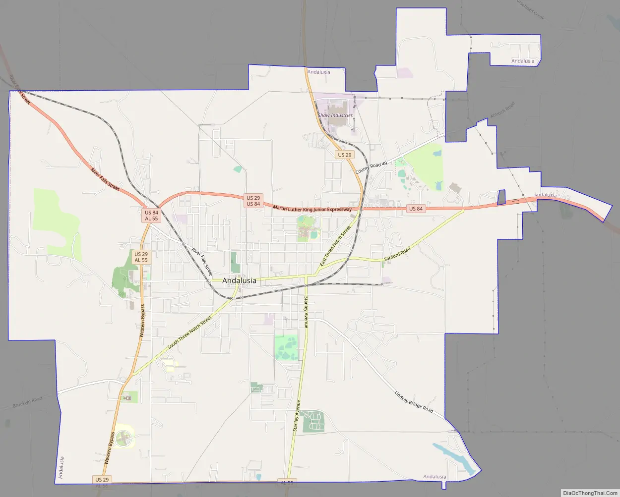
Andalusia Road Map
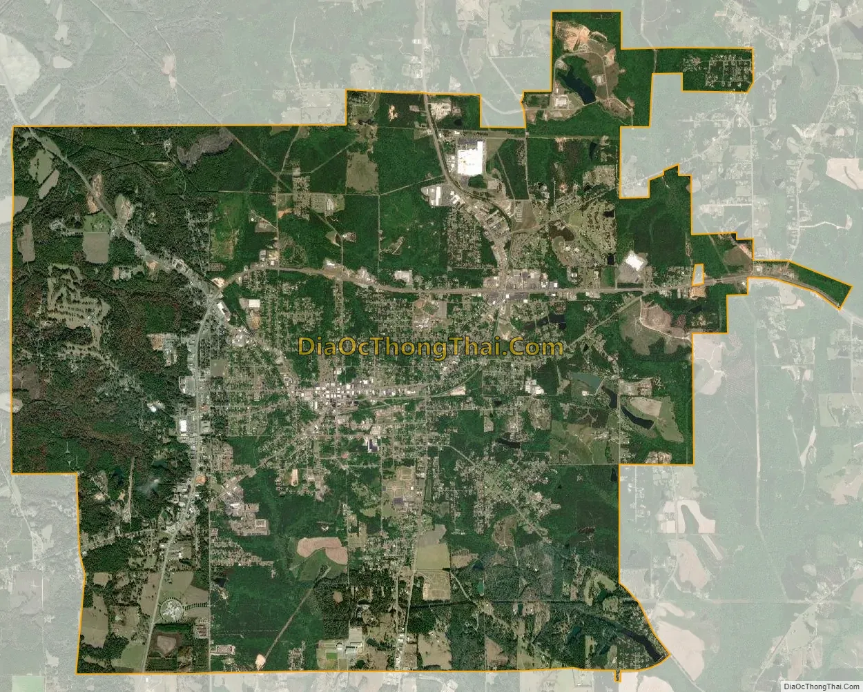
Andalusia city Satellite Map
Geography
Andalusia is located slightly northwest of the center of Covington County at 31°18′N 86°29′W / 31.300°N 86.483°W / 31.300; -86.483 (31.309, -86.479). According to the U.S. Census Bureau, the city has a total area of 19.8 square miles (51.3 km), of which 19.7 square miles (50.9 km) is land and 0.15 square miles (0.4 km), or 0.79%, is water.
Andalusia is served by the South Alabama Regional Airport, formerly known as the Andalusia-Opp Airport, located approximately 5 miles (8 km) east of the central business district.
Climate
The climate in this area is characterized by hot, humid summers and generally mild to cool winters. According to the Köppen Climate Classification system, Andalusia has a humid subtropical climate, abbreviated “Cfa” on climate maps.
See also
Map of Alabama State and its subdivision:- Autauga
- Baldwin
- Barbour
- Bibb
- Blount
- Bullock
- Butler
- Calhoun
- Chambers
- Cherokee
- Chilton
- Choctaw
- Clarke
- Clay
- Cleburne
- Coffee
- Colbert
- Conecuh
- Coosa
- Covington
- Crenshaw
- Cullman
- Dale
- Dallas
- De Kalb
- Elmore
- Escambia
- Etowah
- Fayette
- Franklin
- Geneva
- Greene
- Hale
- Henry
- Houston
- Jackson
- Jefferson
- Lamar
- Lauderdale
- Lawrence
- Lee
- Limestone
- Lowndes
- Macon
- Madison
- Marengo
- Marion
- Marshall
- Mobile
- Monroe
- Montgomery
- Morgan
- Perry
- Pickens
- Pike
- Randolph
- Russell
- Saint Clair
- Shelby
- Sumter
- Talladega
- Tallapoosa
- Tuscaloosa
- Walker
- Washington
- Wilcox
- Winston
- Alabama
- Alaska
- Arizona
- Arkansas
- California
- Colorado
- Connecticut
- Delaware
- District of Columbia
- Florida
- Georgia
- Hawaii
- Idaho
- Illinois
- Indiana
- Iowa
- Kansas
- Kentucky
- Louisiana
- Maine
- Maryland
- Massachusetts
- Michigan
- Minnesota
- Mississippi
- Missouri
- Montana
- Nebraska
- Nevada
- New Hampshire
- New Jersey
- New Mexico
- New York
- North Carolina
- North Dakota
- Ohio
- Oklahoma
- Oregon
- Pennsylvania
- Rhode Island
- South Carolina
- South Dakota
- Tennessee
- Texas
- Utah
- Vermont
- Virginia
- Washington
- West Virginia
- Wisconsin
- Wyoming