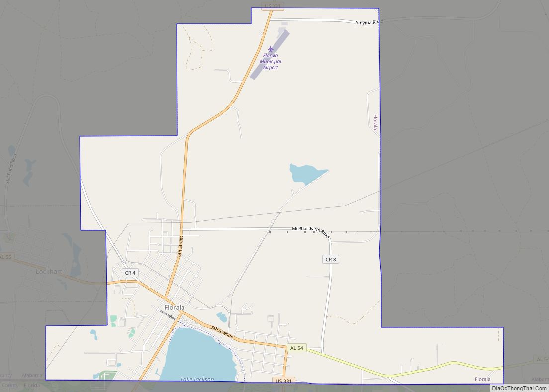
Florala is a town in Covington County, Alabama, United States. At the 2020 census, the population was 1,923.
| Name: | Florala town |
|---|---|
| LSAD Code: | 43 |
| LSAD Description: | town (suffix) |
| State: | Alabama |
| County: | Covington County |
| Elevation: | 262 ft (80 m) |
| Total Area: | 10.98 sq mi (28.44 km²) |
| Land Area: | 10.53 sq mi (27.28 km²) |
| Water Area: | 0.45 sq mi (1.16 km²) |
| Total Population: | 1,923 |
| Population Density: | 182.59/sq mi (70.49/km²) |
| ZIP code: | 36442 |
| Area code: | 334 |
| FIPS code: | 0126848 |
| GNISfeature ID: | 0159617 |
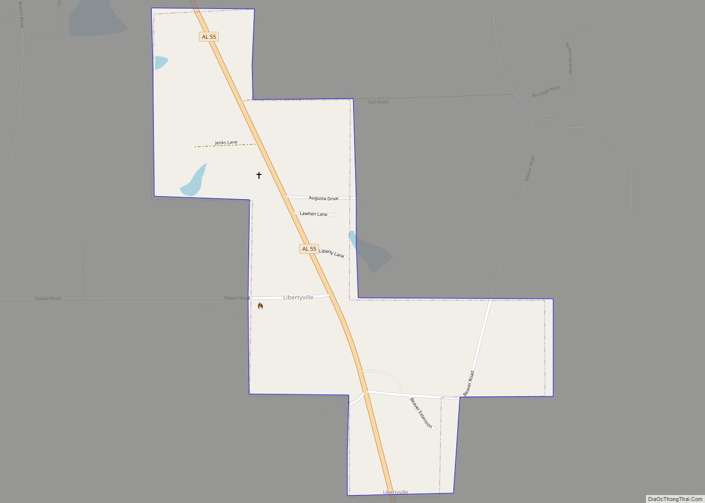
Online Interactive Map
Click on ![]() to view map in "full screen" mode.
to view map in "full screen" mode.
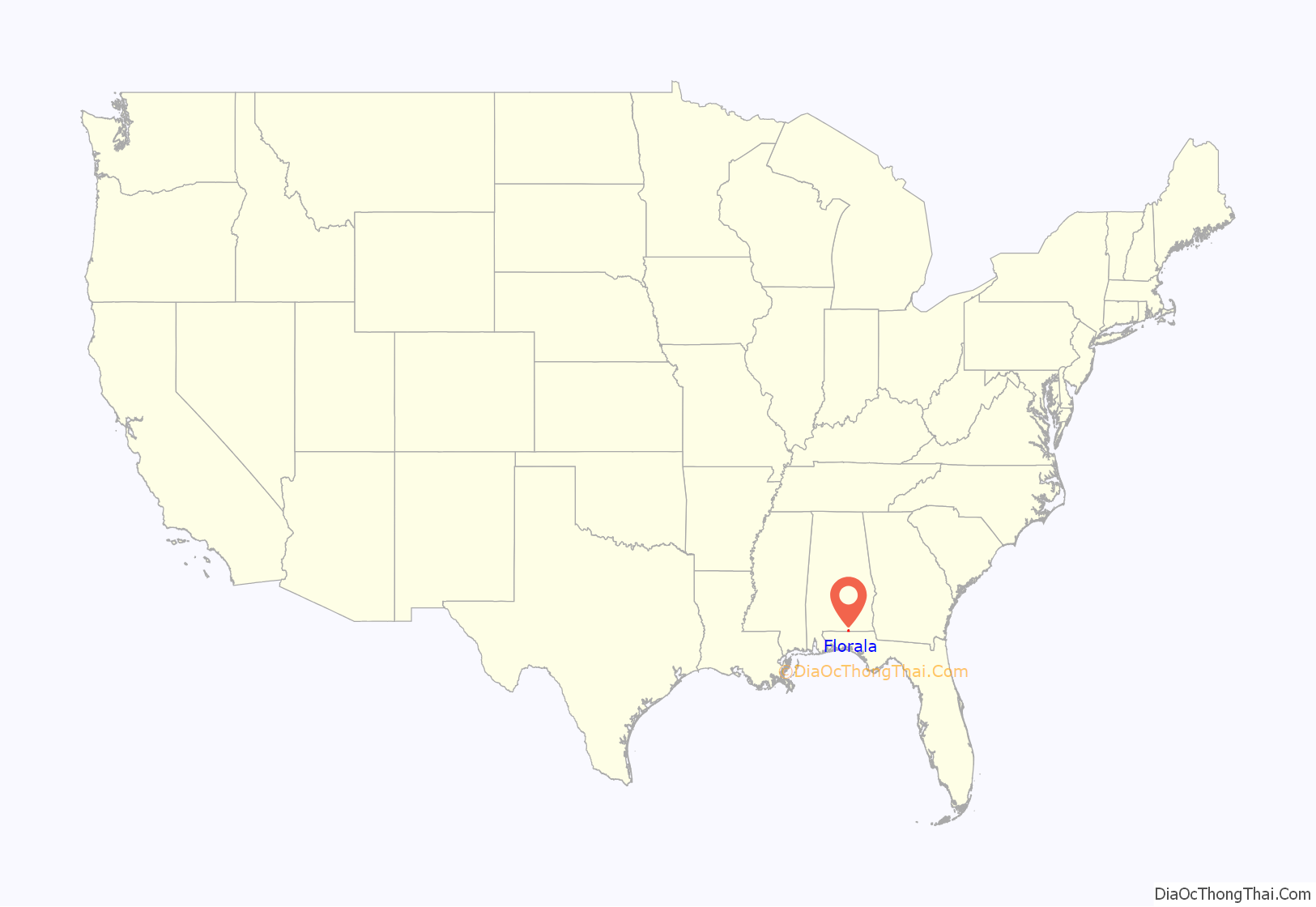
Florala location map. Where is Florala town?
History
In 1818, Andrew Jackson stopped at the lake with his soldiers, and thus Lake Jackson is named after him. Since 1870, Florala has served as the home of the world’s oldest consecutive annual Masonic Day celebration, through Florala’s Fidelity Masonic Lodge #685 (beginning with Chapel Hill and Lake City Lodge #377), and Chapter #441 of the Order of the Eastern Star. The celebration is in honor of St. John’s Day, June 24, 1717, when the first Grand Masonic Lodge in England was established. The celebration is held each year on the Friday before the 24th of June and concluding on the Saturday after the 24th.
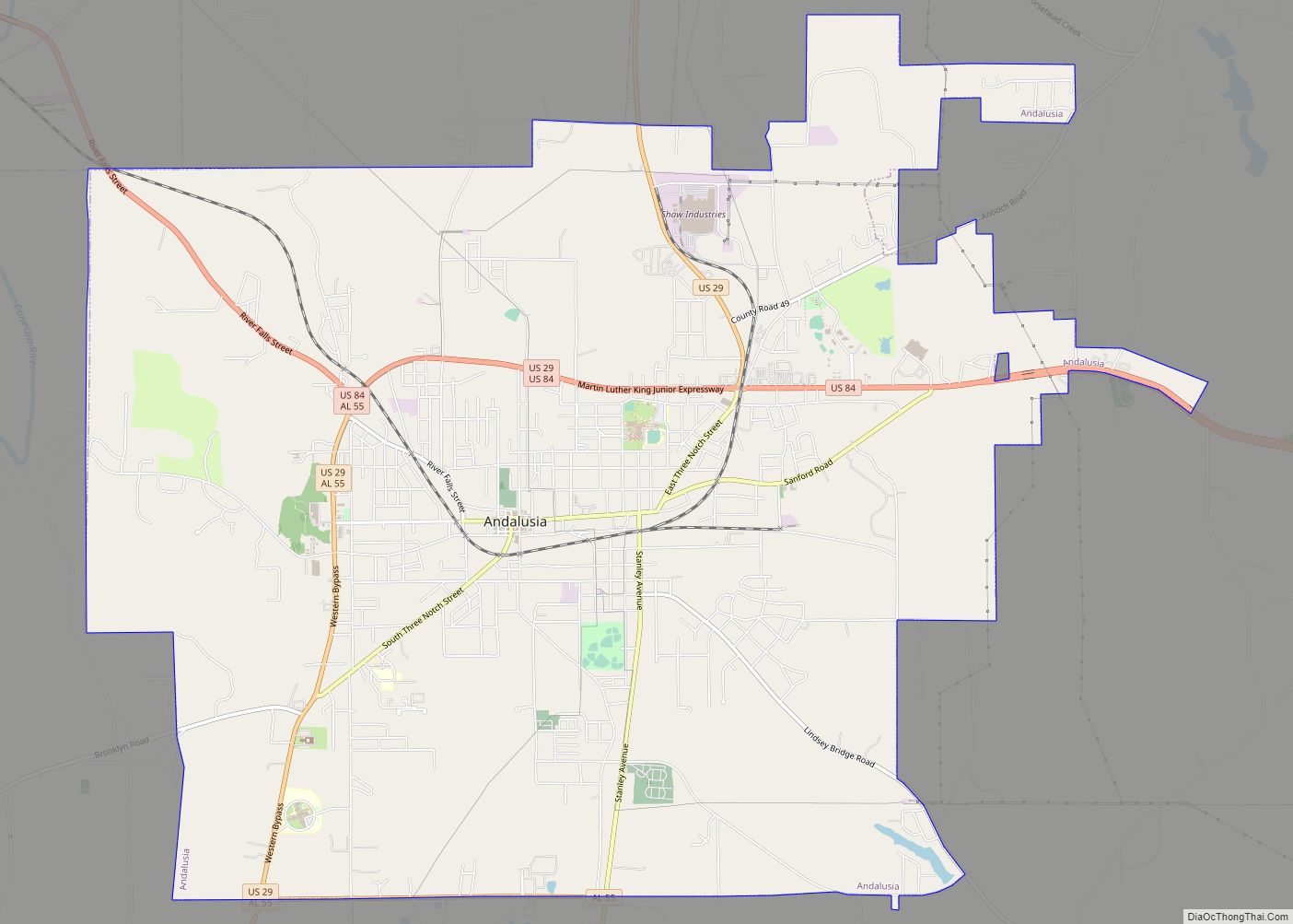
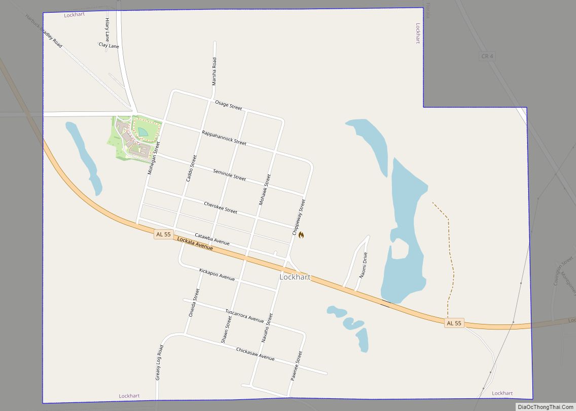
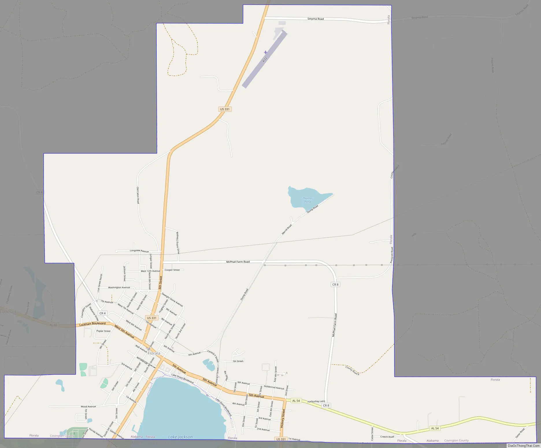
Florala Road Map
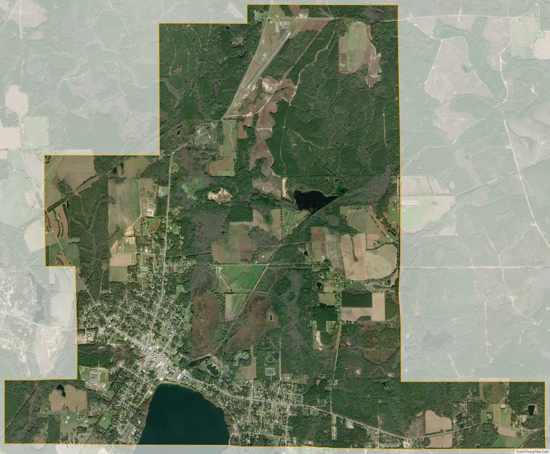
Florala city Satellite Map
Geography
Florala is located along the Alabama–Florida state line at 31°0′28″N 86°19′30″W / 31.00778°N 86.32500°W / 31.00778; -86.32500 (31.007712, -86.324957). It is bordered by the town of Lockhart to the west and the town of Paxton, Florida, to the south.
According to the U.S. Census Bureau, the city has a total area of 11.0 square miles (28.4 km), of which 10.5 square miles (27.3 km) is land and 0.46 square miles (1.2 km), or 4.07%, is water. Lake Jackson lies on the state line, half in Florala. Florala City Park occupies all of the lake’s shoreline in Alabama.
Climate
See also
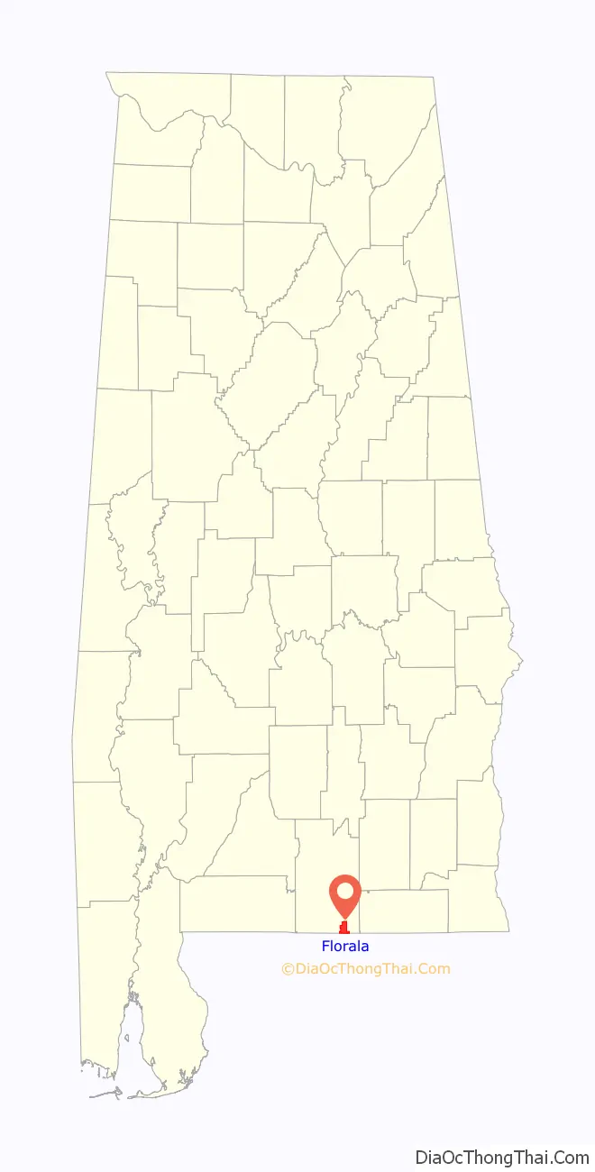
Map of Alabama State and its subdivision:- Autauga
- Baldwin
- Barbour
- Bibb
- Blount
- Bullock
- Butler
- Calhoun
- Chambers
- Cherokee
- Chilton
- Choctaw
- Clarke
- Clay
- Cleburne
- Coffee
- Colbert
- Conecuh
- Coosa
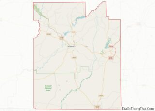
- Covington
- Crenshaw
- Cullman
- Dale
- Dallas
- De Kalb
- Elmore
- Escambia
- Etowah
- Fayette
- Franklin
- Geneva
- Greene
- Hale
- Henry
- Houston
- Jackson
- Jefferson
- Lamar
- Lauderdale
- Lawrence
- Lee
- Limestone
- Lowndes
- Macon
- Madison
- Marengo
- Marion
- Marshall
- Mobile
- Monroe
- Montgomery
- Morgan
- Perry
- Pickens
- Pike
- Randolph
- Russell
- Saint Clair
- Shelby
- Sumter
- Talladega
- Tallapoosa
- Tuscaloosa
- Walker
- Washington
- Wilcox
- Winston
- Alabama
- Alaska
- Arizona
- Arkansas
- California
- Colorado
- Connecticut
- Delaware
- District of Columbia
- Florida
- Georgia
- Hawaii
- Idaho
- Illinois
- Indiana
- Iowa
- Kansas
- Kentucky
- Louisiana
- Maine
- Maryland
- Massachusetts
- Michigan
- Minnesota
- Mississippi
- Missouri
- Montana
- Nebraska
- Nevada
- New Hampshire
- New Jersey
- New Mexico
- New York
- North Carolina
- North Dakota
- Ohio
- Oklahoma
- Oregon
- Pennsylvania
- Rhode Island
- South Carolina
- South Dakota
- Tennessee
- Texas
- Utah
- Vermont
- Virginia
- Washington
- West Virginia
- Wisconsin
- Wyoming