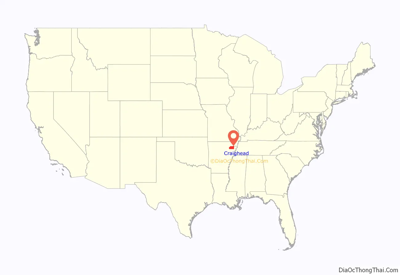
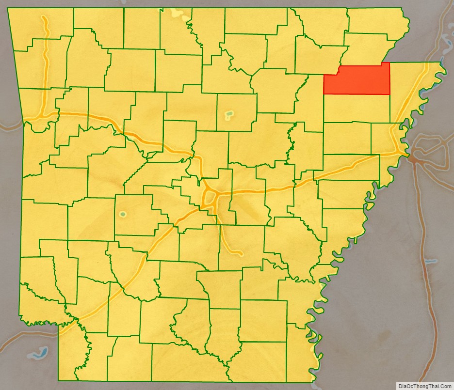
Craighead County is a county located in the U.S. state of Arkansas. As of the 2020 census, the population was 111,231. The county has two county seats — Jonesboro and Lake City. Craighead County is Arkansas’s 58th county, formed on February 19, 1859, and named for state Senator Thomas Craighead. It is one of several dry counties within the state of Arkansas, in which the sale of alcoholic beverages is largely prohibited.
Craighead County is included in Jonesboro–Paragould Combined Statistical Area.
| Name: | Craighead County |
|---|---|
| FIPS code: | 05-031 |
| State: | Arkansas |
| Founded: | February 19, 1859 |
| Named for: | Thomas Craighead |
| Seat: | Jonesboro (western district); Lake City (eastern district) |
| Largest city: | Jonesboro |
| Total Area: | 713 sq mi (1,850 km²) |
| Land Area: | 707 sq mi (1,830 km²) |
| Total Population: | 111,231 |
| Population Density: | 160/sq mi (60/km²) |
| Time zone: | UTC−6 (Central) |
| Summer Time Zone (DST): | UTC−5 (CDT) |
| Website: | www.craigheadcounty.org |
Craighead County location map. Where is Craighead County?
History
Craighead County was part of the territory claimed for France on April 9, 1682, by René Robert Cavelier, Sieur de La Salle, who laid claim to all of the land drained by the Mississippi River and its tributaries. LaSalle’s claim was named Louisiana in honor of Louis XIV, King of France.
The Treaty of Fontainebleau (1762) was signed between France and Spain and ownership of the Louisiana territory west of the Mississippi River was transferred to the Spanish crown as a result of the Seven Years’ War and Craighead County became a Spanish possession.
Spain controlled of the territory encompassing the county until October 1, 1800, when Napoleon Bonaparte forced Spain to return the lost territories to France under the Treaty of Ildefonso. Napoleon maintained grandiose plans to establish a vast French Empire in Louisiana but the Royal Navy prevented him from transferring troops or settlers to the acquired territories.
Fear was high in the United States that Napoleon would attempt to close the Mississippi River to American trade. President Thomas Jefferson inquired about purchasing an area near the mouth of the river to ensure that it would stay open to American goods. Napoleon, needing money, offered to sell the United States the entire territory of Louisiana for $23,213,568.
The treaty was finalized in 1803 and the land that would become Craighead County became the possession of the United States.
Craighead County remained in the Louisiana Territory until the State of Louisiana was admitted to the Union. At that time the territory that includes modern day Arkansas was attached to the Missouri Territory.
In 1813 the area was included in a new political subdivision known as Arkansas County which was a political subdivision of the Arkansas District of the Territory of Missouri. In 1815 the county was further subdivided and Lawrence County was formed with its seat at Davidsonville. This new county included most of what is now northern Arkansas. The modern Craighead county lay partially within Arkansas County and partially within Lawrence County.
Residents of the Missouri Territory soon began petitioning Congress for admission to the Union. Their request did not include the District of Arkansas and Arkansas residents petitioned for separate territorial status for their district. In 1819 the Arkansas Territory was formed.
In 1838, Poinsett County was formed and included most of present-day Craighead County. This situation persisted until 1850 when residents of the area complained about the distance to the Poinsett County seat.
In 1858 State Senator William A. Jones campaign platform included a promise to seek the formation of a new county for the area. His election was successful and helped push legislation for the formation of the new county.
The new county was to be formed from lands taken from Greene, Mississippi, and Poinsett counties, and it was to be named “Crowley County” in honor of Crowley’s Ridge which runs through the center of the county.
Senator Thomas Craighead represented Mississippi County, and opposed the bill because the farmland it took from Mississippi County (commonly known as the Buffalo Island area) was a major source of property taxes for the county.
One day while Senator Craighead was away from the floor, Senator Jones amended the bill to change the county’s name to “Craighead County”. The Senate, thinking it was a compromise, approved the bill as amended; by the time Senator Craighead returned, the bill had already left the Senate, and he took no further action.
Craighead County was officially formed February 19, 1859; in gratitude, the citizens then named the main county seat Jonesboro, for Senator Jones. (Some sources say the name was actually proposed by Senator Craighead in a resolution.) Lake City, just across the St. Francis River from the Buffalo Island area, was added as a second county seat in 1883.
In the early 20th century, Clay, Greene, and Craighead counties had sundown town policies forbidding African Americans from living in the area.
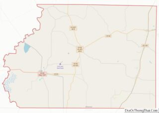
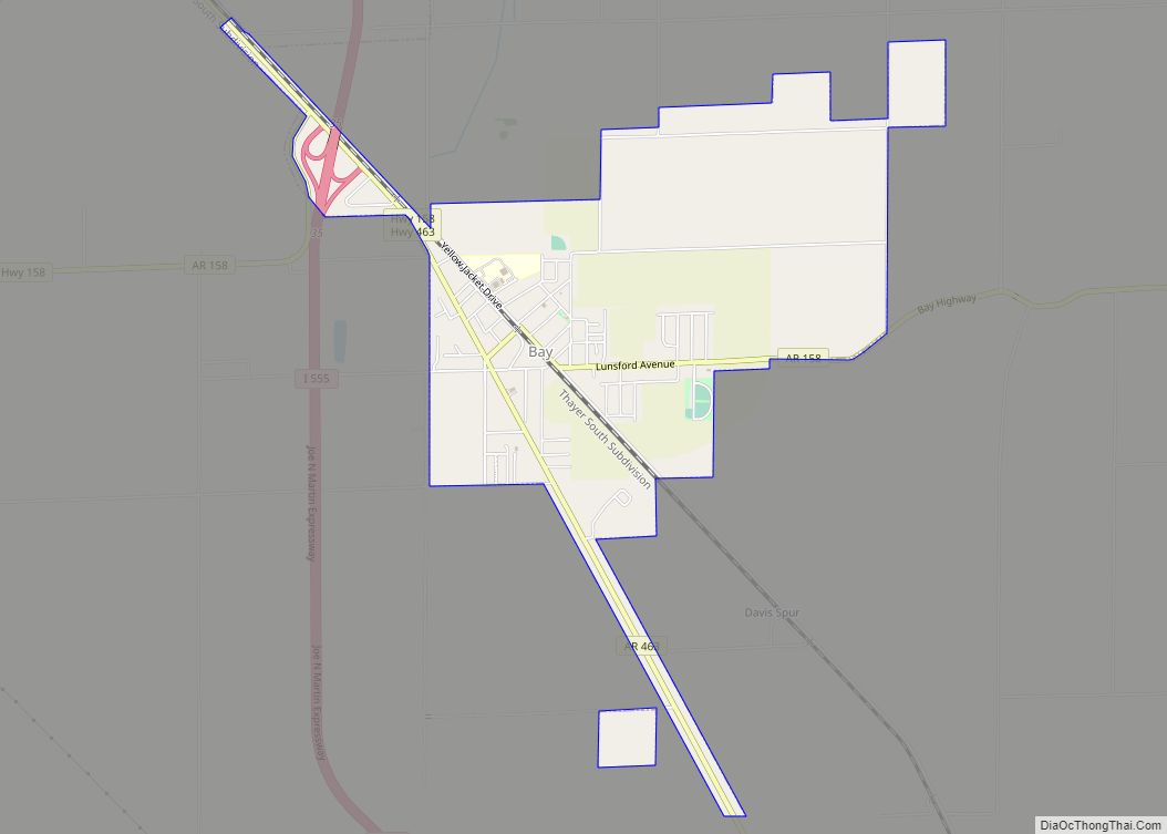
Craighead County Road Map
Geography
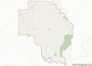
According to the U.S. Census Bureau, the county has a total area of 713 square miles (1,850 km), of which 707 square miles (1,830 km) is land and 5.5 square miles (14 km) (0.8%) is water. Crowley’s Ridge is the county’s most prominent geological feature.
Major highways
- Future I-57
- I-555
- US 49
- US 63
- US 63B
- US 67
- Highway 1
- Highway 1 Business
- Highway 18
- Highway 18 Spur
- Highway 69
- Highway 91
- Highway 135
- Highway 139
- Highway 141
- Highway 148
- Highway 158
- Highway 226
- Highway 230
- Highway 349
- Highway 351
- Highway 463
Airport
The region is served by the Jonesboro Municipal Airport.
Adjacent counties
- Greene County (north)
- Dunklin County, Missouri (northeast)
- Mississippi County (east)
- Poinsett County (south)
- Jackson County (west)
- Lawrence County (northwest)
