Sullivan is a city that straddles the border of Franklin and Crawford counties in the U.S. state of Missouri. The population was 6,906 at the 2020 census.
| Name: | Sullivan city |
|---|---|
| LSAD Code: | 25 |
| LSAD Description: | city (suffix) |
| State: | Missouri |
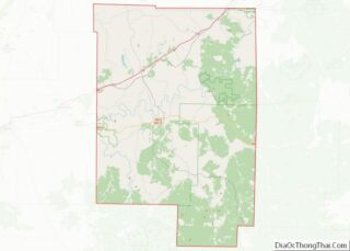
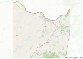
| County: | Crawford County, Franklin County |
| Founded: | 1856 |
| Incorporated: | 1883 |
| Elevation: | 974 ft (297 m) |
| Total Area: | 8.19 sq mi (21.21 km²) |
| Land Area: | 8.19 sq mi (21.21 km²) |
| Water Area: | 0.00 sq mi (0.00 km²) |
| Total Population: | 6,906 |
| Population Density: | 843.22/sq mi (325.59/km²) |
| ZIP code: | 63080 |
| Area code: | 573 |
| FIPS code: | 2971440 |
| GNISfeature ID: | 2395998 |
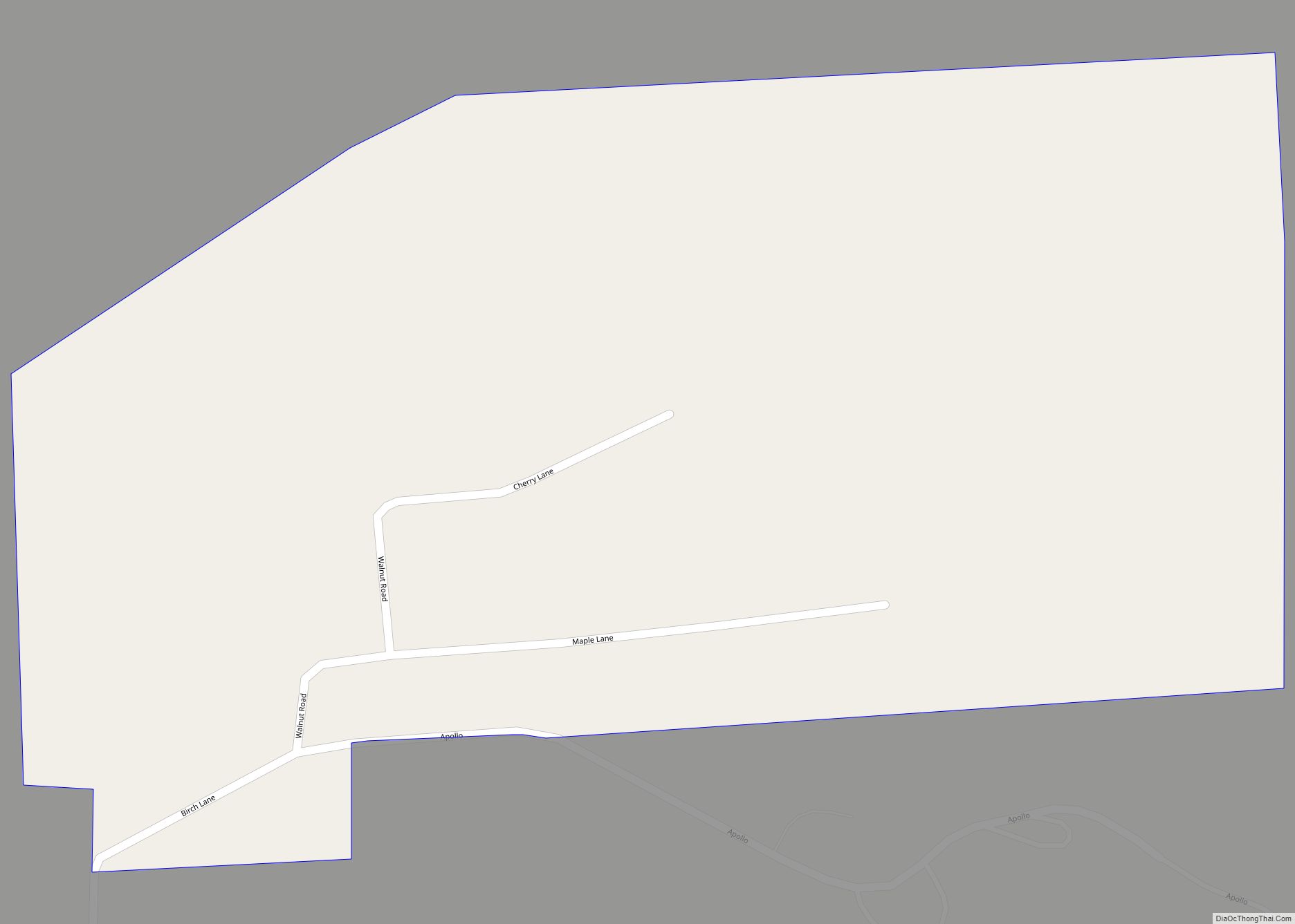
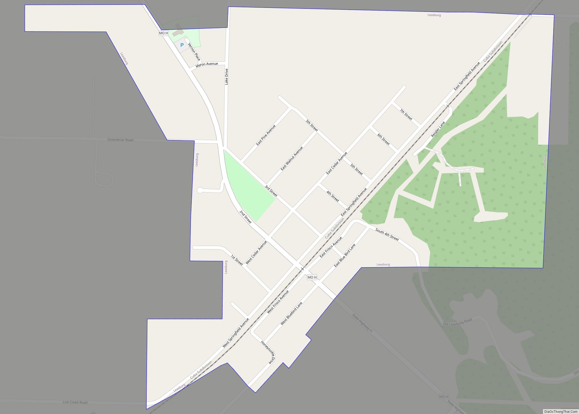
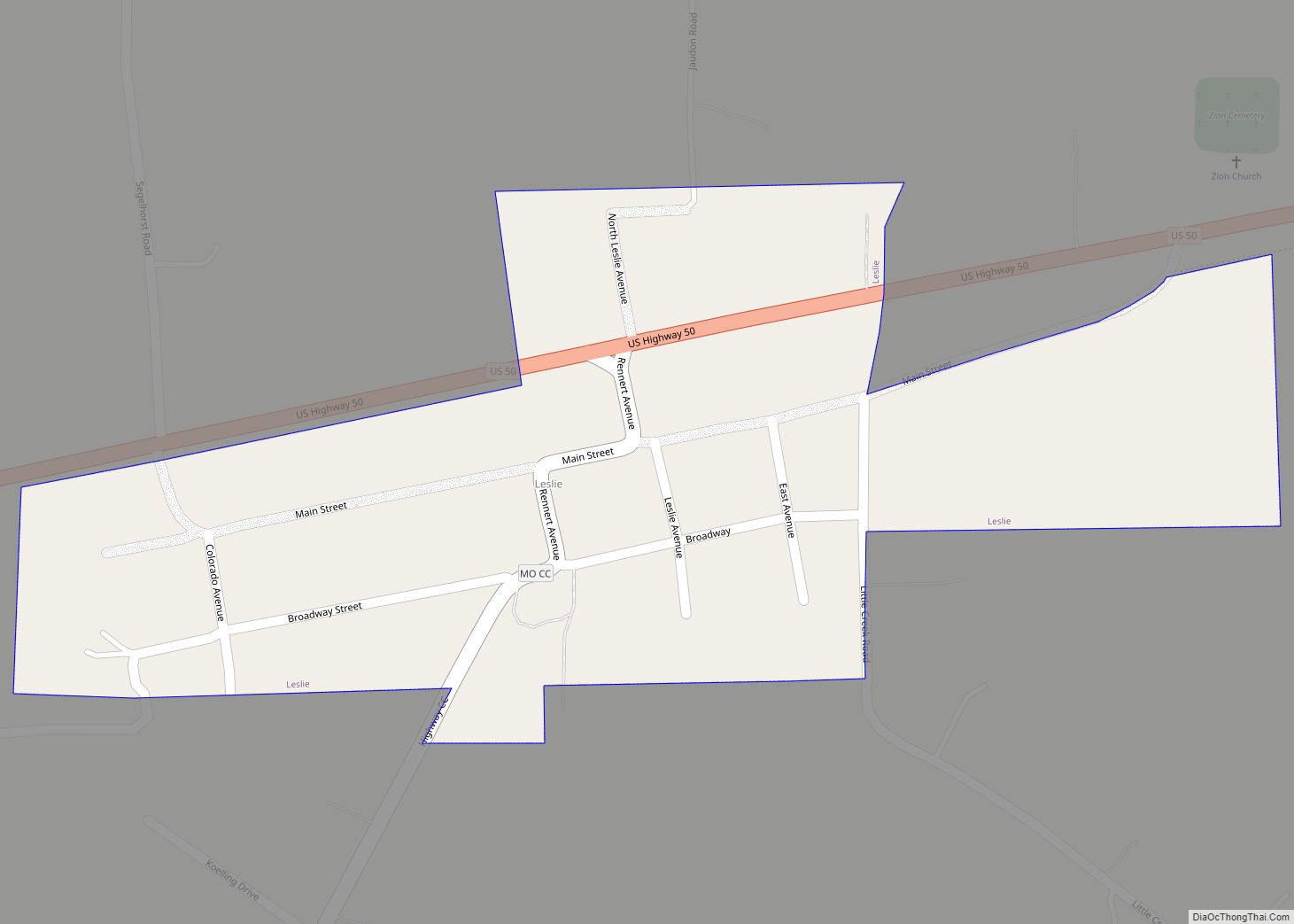
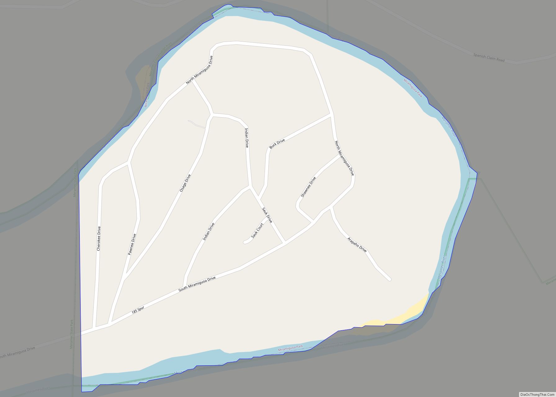
Online Interactive Map
Click on ![]() to view map in "full screen" mode.
to view map in "full screen" mode.
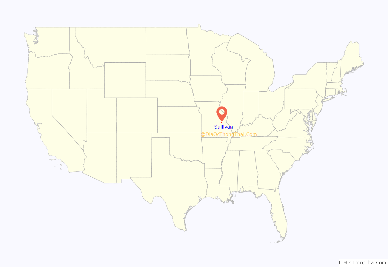
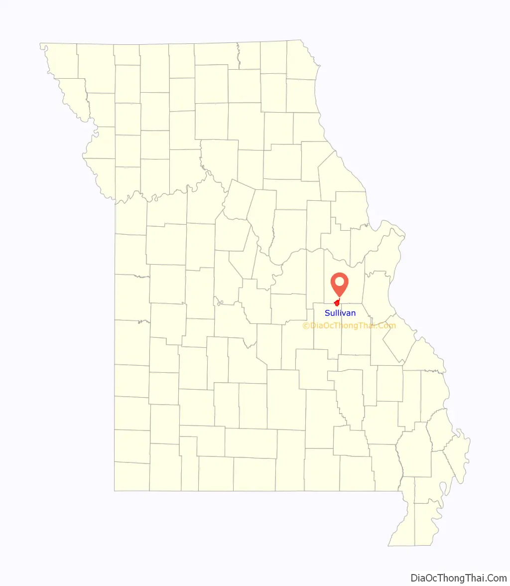
Sullivan location map. Where is Sullivan city?
History
On January 28, 1839, 120 acres were conveyed by the U.S. Government to Garretson (also spelled Garrison) P. Hardy. Purchased according to provisions of the Act of Congress for the sale of public lands (dated April 1820). Then in June 1848, Garretson sold the acreage to William & Mary Smith for $150. In June 1856, Stephen & Dorcas Sullivan purchased the acreage, plus an additional 49 acres from Smith for the sum of $400. This was the future site of the original town. On July 25, 1856, when a post office was established in present-day Sullivan, the local postmaster named the place “Mount Helicon”. This short-lived name was after an actual mountain in Greece that was the mythical sanctuary of the Muses. In 1859, Stephen Sullivan donated ground for railroad right-of-way and built the depot himself. The railroad named the station “Sullivan” prompting the post office to change to Sullivan.
Between 1920 and 1960 the city grew from 900 to more than 4,000 residents, making Sullivan the second fastest-growing city in the state during that time.
The Maj. Gen. William S. Harney Summer Home was listed on the National Register of Historic Places in 1984.
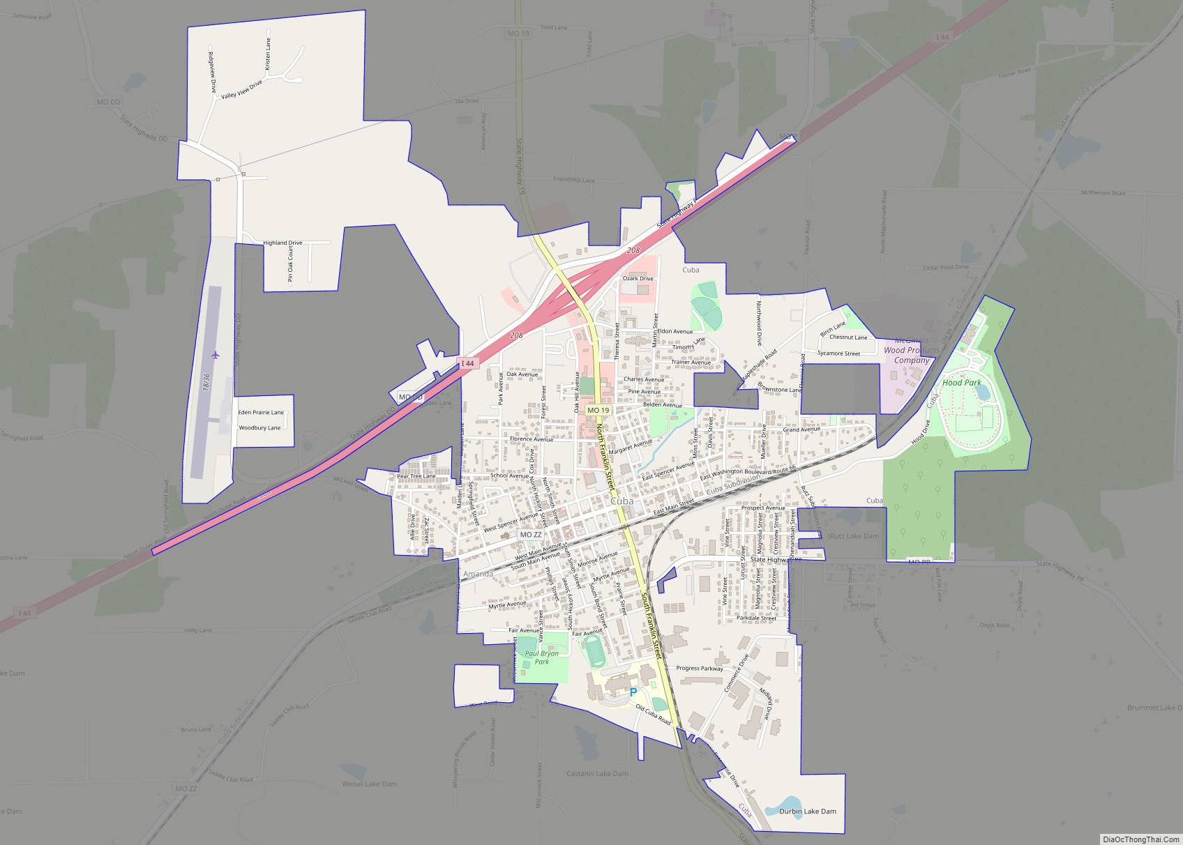
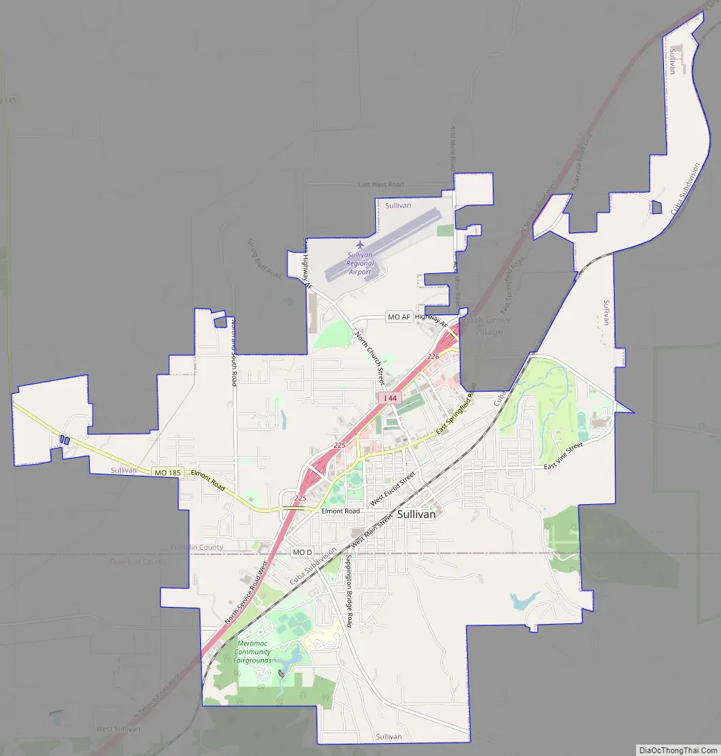
Sullivan Road Map
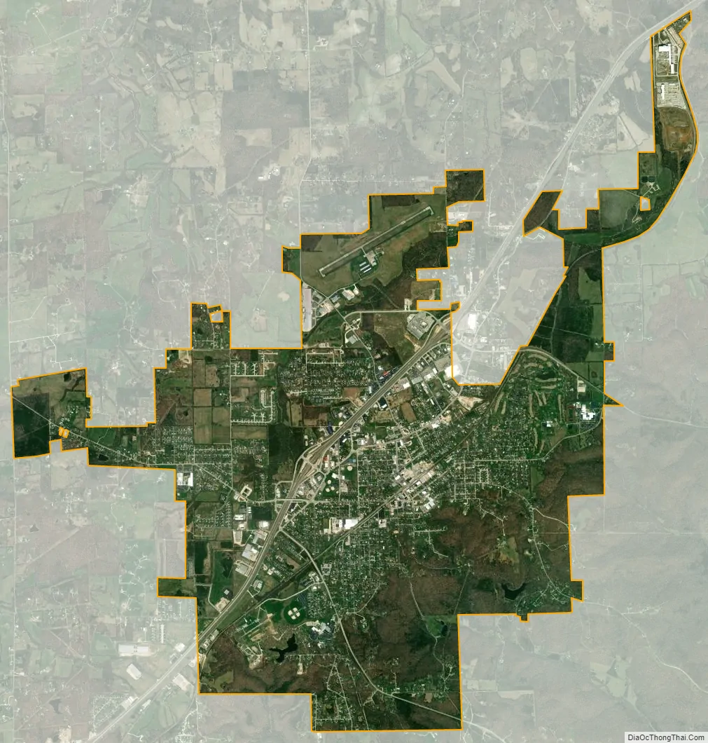
Sullivan city Satellite Map
Geography
Sullivan is located on the Franklin-Crawford county line at the intersection of Interstate 44 and Missouri Route 185. The Meramec River flows through Meramec State Park just to the east of the city.
According to the United States Census Bureau, the city has a total area of 8.2 square miles (21.24 km), all land.
See also
Map of Missouri State and its subdivision:- Adair
- Andrew
- Atchison
- Audrain
- Barry
- Barton
- Bates
- Benton
- Bollinger
- Boone
- Buchanan
- Butler
- Caldwell
- Callaway
- Camden
- Cape Girardeau
- Carroll
- Carter
- Cass
- Cedar
- Chariton
- Christian
- Clark
- Clay
- Clinton
- Cole
- Cooper
- Crawford
- Dade
- Dallas
- Daviess
- De Kalb
- Dent
- Douglas
- Dunklin
- Franklin
- Gasconade
- Gentry
- Greene
- Grundy
- Harrison
- Henry
- Hickory
- Holt
- Howard
- Howell
- Iron
- Jackson
- Jasper
- Jefferson
- Johnson
- Knox
- Laclede
- Lafayette
- Lawrence
- Lewis
- Lincoln
- Linn
- Livingston
- Macon
- Madison
- Maries
- Marion
- McDonald
- Mercer
- Miller
- Mississippi
- Moniteau
- Monroe
- Montgomery
- Morgan
- New Madrid
- Newton
- Nodaway
- Oregon
- Osage
- Ozark
- Pemiscot
- Perry
- Pettis
- Phelps
- Pike
- Platte
- Polk
- Pulaski
- Putnam
- Ralls
- Randolph
- Ray
- Reynolds
- Ripley
- Saint Charles
- Saint Clair
- Saint Francois
- Saint Louis
- Sainte Genevieve
- Saline
- Schuyler
- Scotland
- Scott
- Shannon
- Shelby
- Stoddard
- Stone
- Sullivan
- Taney
- Texas
- Vernon
- Warren
- Washington
- Wayne
- Webster
- Worth
- Wright
- Alabama
- Alaska
- Arizona
- Arkansas
- California
- Colorado
- Connecticut
- Delaware
- District of Columbia
- Florida
- Georgia
- Hawaii
- Idaho
- Illinois
- Indiana
- Iowa
- Kansas
- Kentucky
- Louisiana
- Maine
- Maryland
- Massachusetts
- Michigan
- Minnesota
- Mississippi
- Missouri
- Montana
- Nebraska
- Nevada
- New Hampshire
- New Jersey
- New Mexico
- New York
- North Carolina
- North Dakota
- Ohio
- Oklahoma
- Oregon
- Pennsylvania
- Rhode Island
- South Carolina
- South Dakota
- Tennessee
- Texas
- Utah
- Vermont
- Virginia
- Washington
- West Virginia
- Wisconsin
- Wyoming