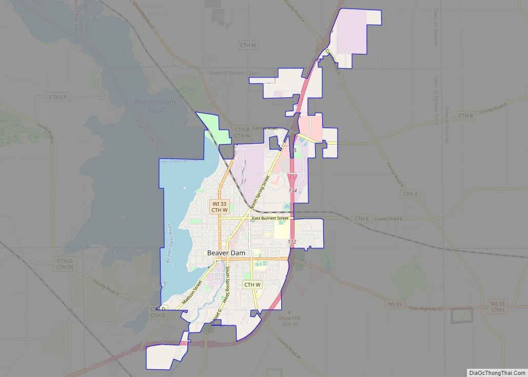
Beaver Dam is a city in Dodge County, Wisconsin, United States, along Beaver Dam Lake and the Beaver Dam River. The population was 16,708 at the 2020 census, making it the largest city primarily located in Dodge County. It is the principal city of the Beaver Dam Micropolitan Statistical area. The city is adjacent to the Town of Beaver Dam.
| Name: | Beaver Dam city |
|---|---|
| LSAD Code: | 25 |
| LSAD Description: | city (suffix) |
| State: | Wisconsin |
| County: | Dodge County |
| Elevation: | 879 ft (268 m) |
| Land Area: | 7.31 sq mi (18.94 km²) |
| Water Area: | 1.38 sq mi (3.59 km²) 16.89% |
| Population Density: | 2,242.99/sq mi (866.07/km²) |
| ZIP code: | 53916 |
| Area code: | 920 |
| FIPS code: | 5505900 |
| GNISfeature ID: | 1561457 |
| Website: | www.cityofbeaverdam.com |
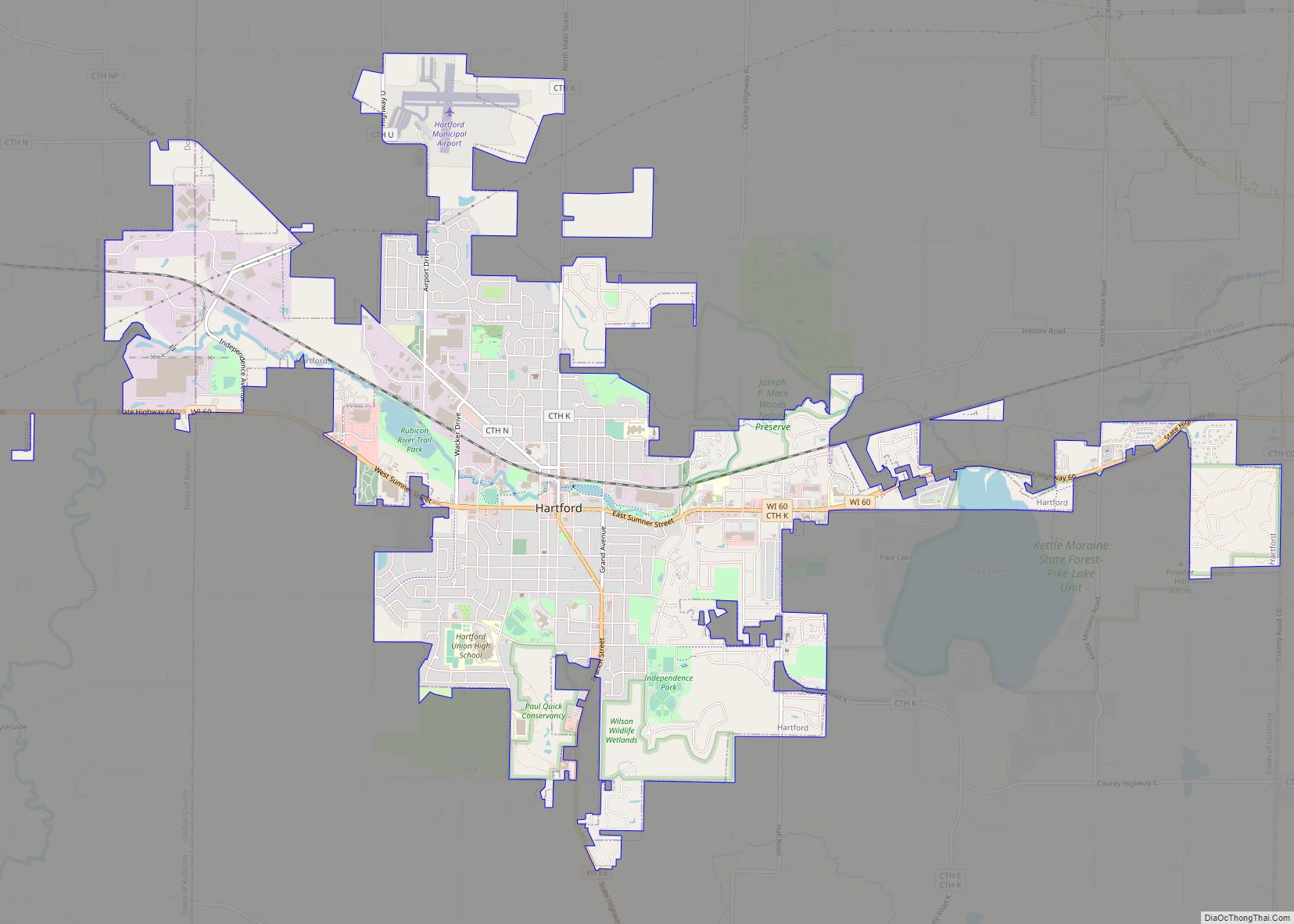
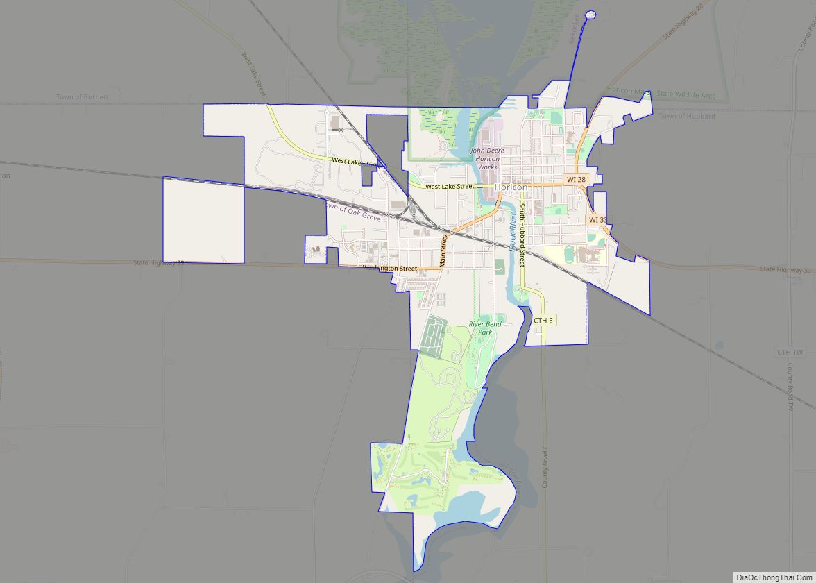
Online Interactive Map
Click on ![]() to view map in "full screen" mode.
to view map in "full screen" mode.
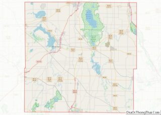
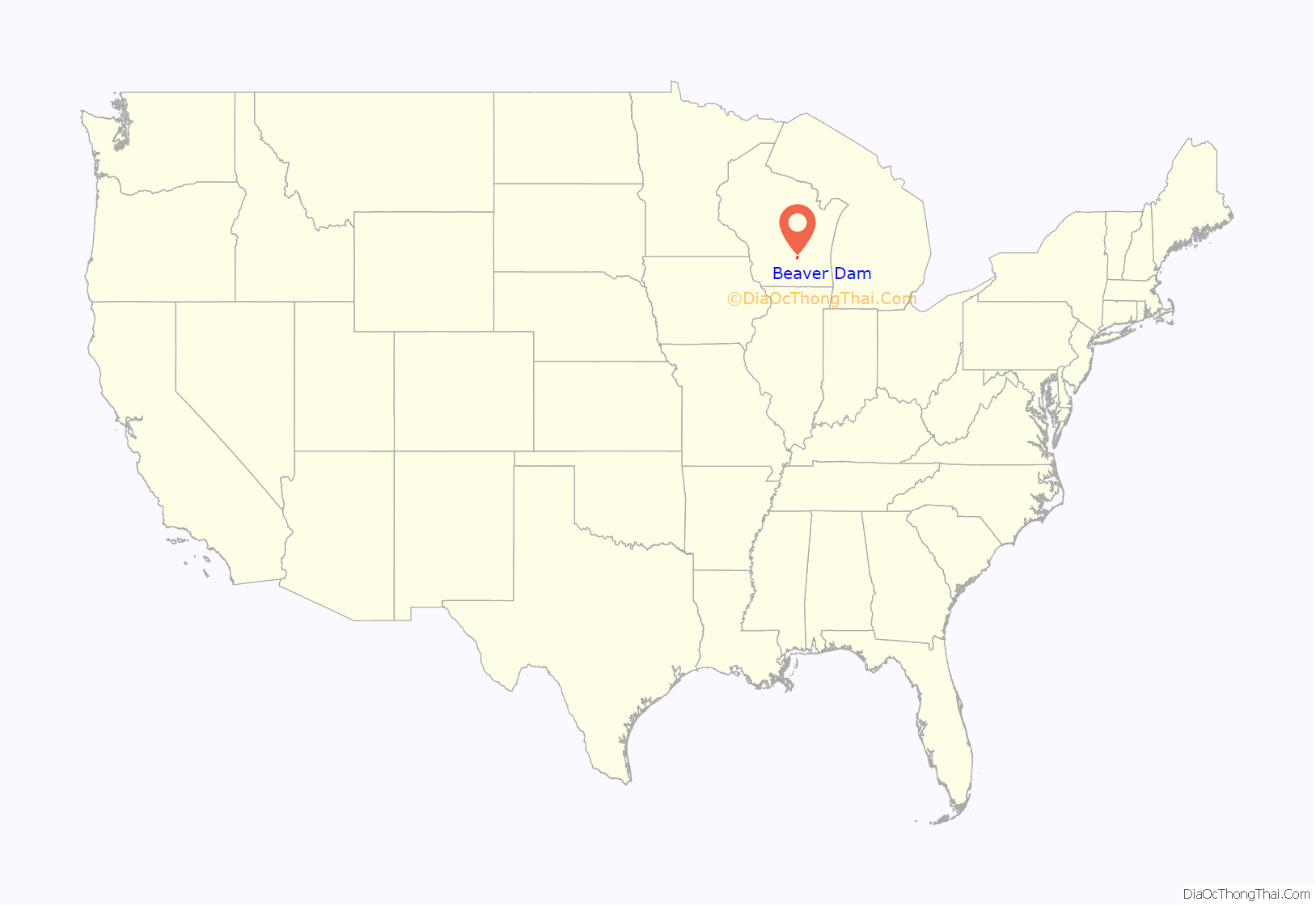
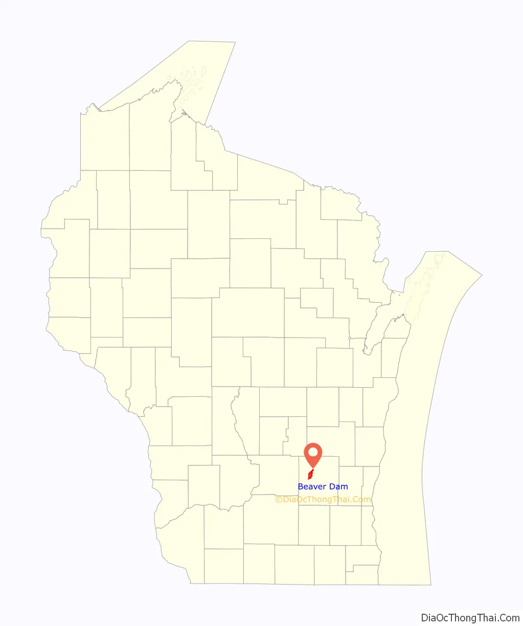
Beaver Dam location map. Where is Beaver Dam city?
History
Beaver Dam was first settled by Thomas Mackie and Joseph Goetschius in 1841, and by 1843 had a population of almost 100. The city was named for an old beaver dam located in a stream flowing into Beaver Dam River. The area had also been known as Okwaanim, Chippewa for beaver dam. The community was incorporated as a city on March 18, 1856. That same year the Milwaukee Railroad reached the area, encouraging further growth.
Beaver Dam hosted a World War II prisoner of war camp called Camp Beaver Dam in the summer of 1944. The camp held 300 German prisoners in a tent city encampment where the Wayland Academy field house now stands.
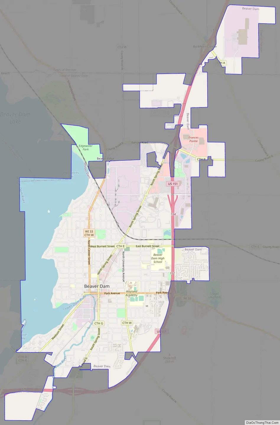
Beaver Dam Road Map
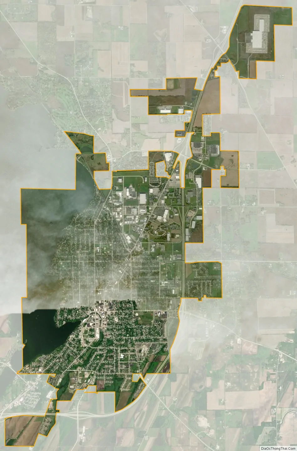
Beaver Dam city Satellite Map
Geography
Beaver Dam is located at 43°27′35″N 88°50′9″W / 43.45972°N 88.83583°W / 43.45972; -88.83583 (43.459967, −88.836066). According to the United States Census Bureau, the city has a total area of 8.70 square miles (22.53 km), of which, 7.31 square miles (18.93 km) is land and 1.38 square miles (3.57 km) is water.
Beaver Dam has a warm-summer humid continental climate (Köppen: Dfb). Since 1996, the average annual snowfall in Beaver Dam has been 63.5 inches (161 cm). The 2007–2008 winter season was the snowiest on record with 119.7 inches (304 cm).
Normal temperatures
Normal precipitation
Snowfall
See also
Map of Wisconsin State and its subdivision:- Adams
- Ashland
- Barron
- Bayfield
- Brown
- Buffalo
- Burnett
- Calumet
- Chippewa
- Clark
- Columbia
- Crawford
- Dane
- Dodge
- Door
- Douglas
- Dunn
- Eau Claire
- Florence
- Fond du Lac
- Forest
- Grant
- Green
- Green Lake
- Iowa
- Iron
- Jackson
- Jefferson
- Juneau
- Kenosha
- Kewaunee
- La Crosse
- Lafayette
- Lake Michigan
- Lake Superior
- Langlade
- Lincoln
- Manitowoc
- Marathon
- Marinette
- Marquette
- Menominee
- Milwaukee
- Monroe
- Oconto
- Oneida
- Outagamie
- Ozaukee
- Pepin
- Pierce
- Polk
- Portage
- Price
- Racine
- Richland
- Rock
- Rusk
- Saint Croix
- Sauk
- Sawyer
- Shawano
- Sheboygan
- Taylor
- Trempealeau
- Vernon
- Vilas
- Walworth
- Washburn
- Washington
- Waukesha
- Waupaca
- Waushara
- Winnebago
- Wood
- Alabama
- Alaska
- Arizona
- Arkansas
- California
- Colorado
- Connecticut
- Delaware
- District of Columbia
- Florida
- Georgia
- Hawaii
- Idaho
- Illinois
- Indiana
- Iowa
- Kansas
- Kentucky
- Louisiana
- Maine
- Maryland
- Massachusetts
- Michigan
- Minnesota
- Mississippi
- Missouri
- Montana
- Nebraska
- Nevada
- New Hampshire
- New Jersey
- New Mexico
- New York
- North Carolina
- North Dakota
- Ohio
- Oklahoma
- Oregon
- Pennsylvania
- Rhode Island
- South Carolina
- South Dakota
- Tennessee
- Texas
- Utah
- Vermont
- Virginia
- Washington
- West Virginia
- Wisconsin
- Wyoming