Juneau is a city in Dodge County, Wisconsin, United States. The population was 2,658 at the 2020 census. It is the county seat of Dodge County.
| Name: | Juneau city |
|---|---|
| LSAD Code: | 25 |
| LSAD Description: | city (suffix) |
| State: | Wisconsin |
| County: | Dodge County |
| Elevation: | 925 ft (282 m) |
| Total Area: | 1.65 sq mi (4.27 km²) |
| Land Area: | 1.65 sq mi (4.27 km²) |
| Water Area: | 0.00 sq mi (0.00 km²) |
| Total Population: | 2,658 |
| Population Density: | 1,611.9/sq mi (622.5/km²) |
| ZIP code: | 53039 |
| Area code: | 920 |
| FIPS code: | 5538675 |
| GNISfeature ID: | 1567322 |
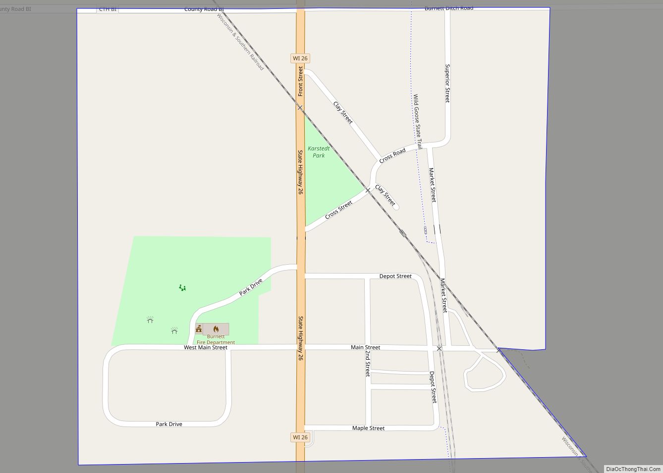
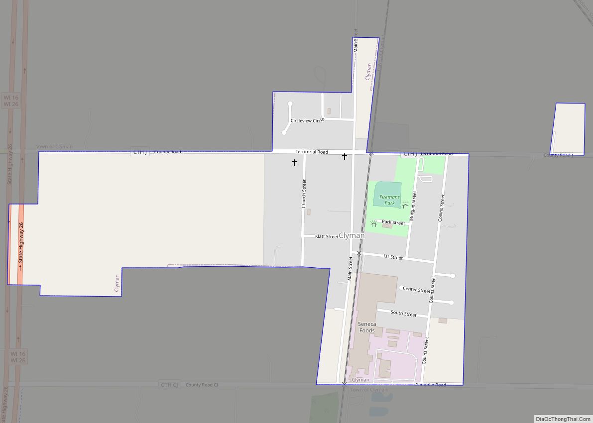
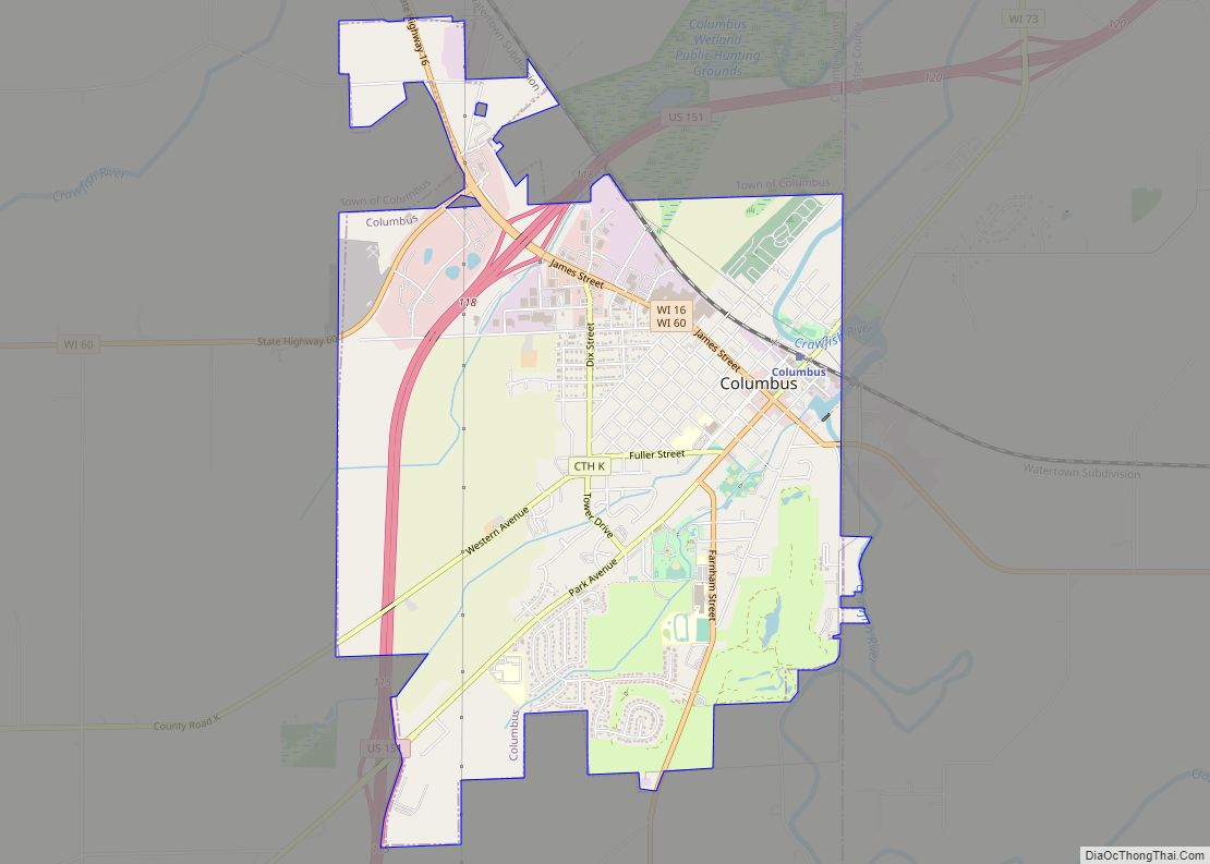
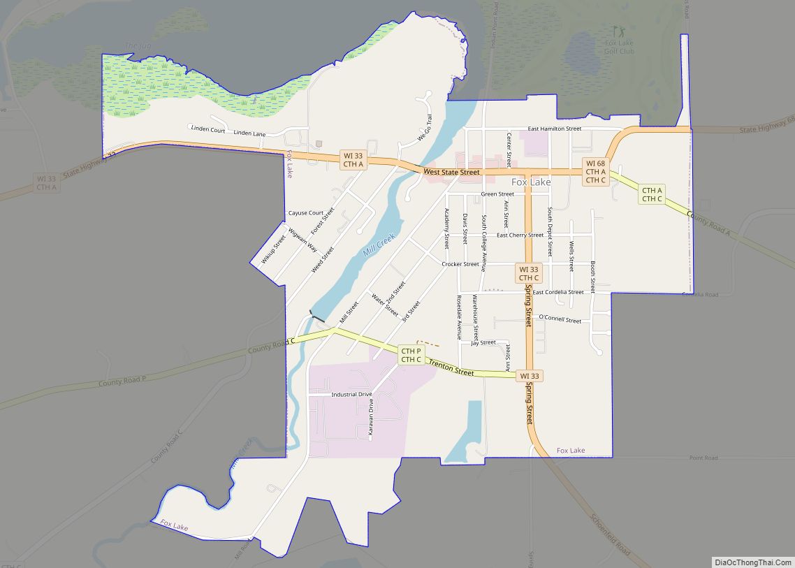
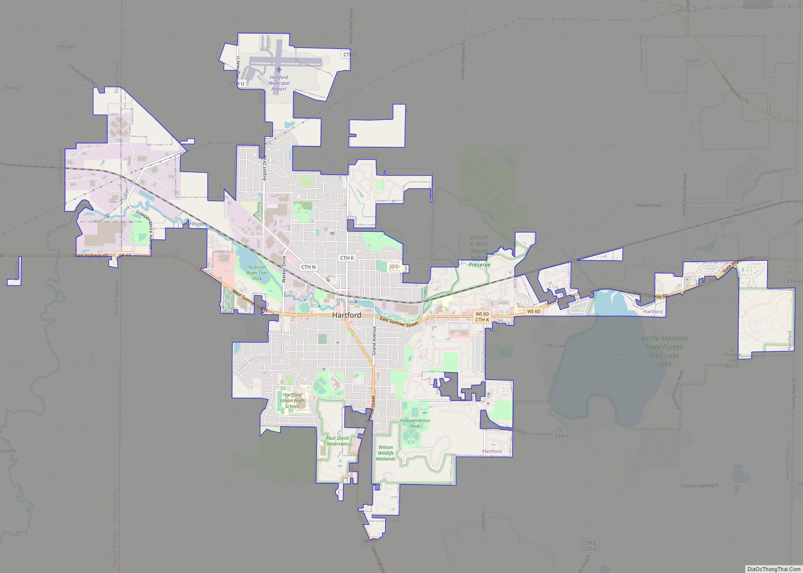
Online Interactive Map
Click on ![]() to view map in "full screen" mode.
to view map in "full screen" mode.
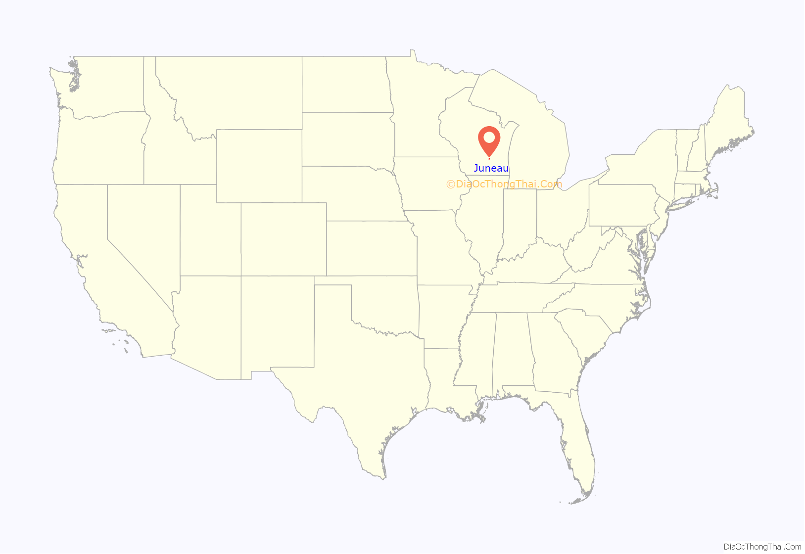
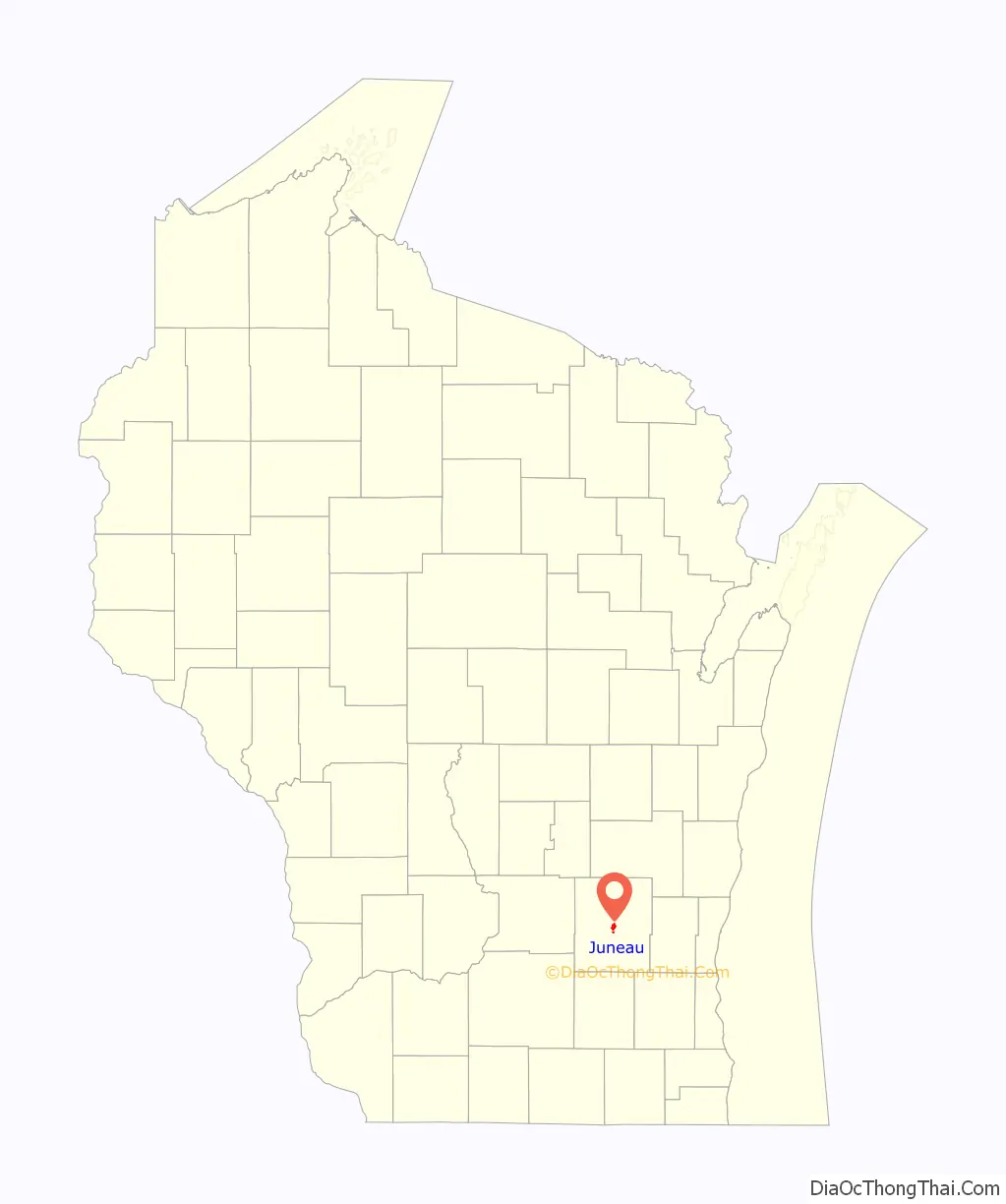
Juneau location map. Where is Juneau city?
History
Juneau was founded in 1845 by settlers Martin Rich and William Dennis. It became the county seat of Dodge County in 1846. The founders originally named the settlement “Victory” and then “Dodge Center,” but finding these names in conflict with other places, the town changed its name to Juneau in 1852. Most sources say that Juneau was named after French-Canadian trader Solomon Juneau, the founder of Milwaukee and of Theresa, Wisconsin. The city itself claims to be named for Paul Juneau, Solomon Juneau’s part-Menominee son, a businessman and state legislator who made his home in the city and served as county register of deeds until his accidental shooting death outside the courthouse in Juneau in 1858. Juneau was incorporated as a village in 1865 and a city in 1879.
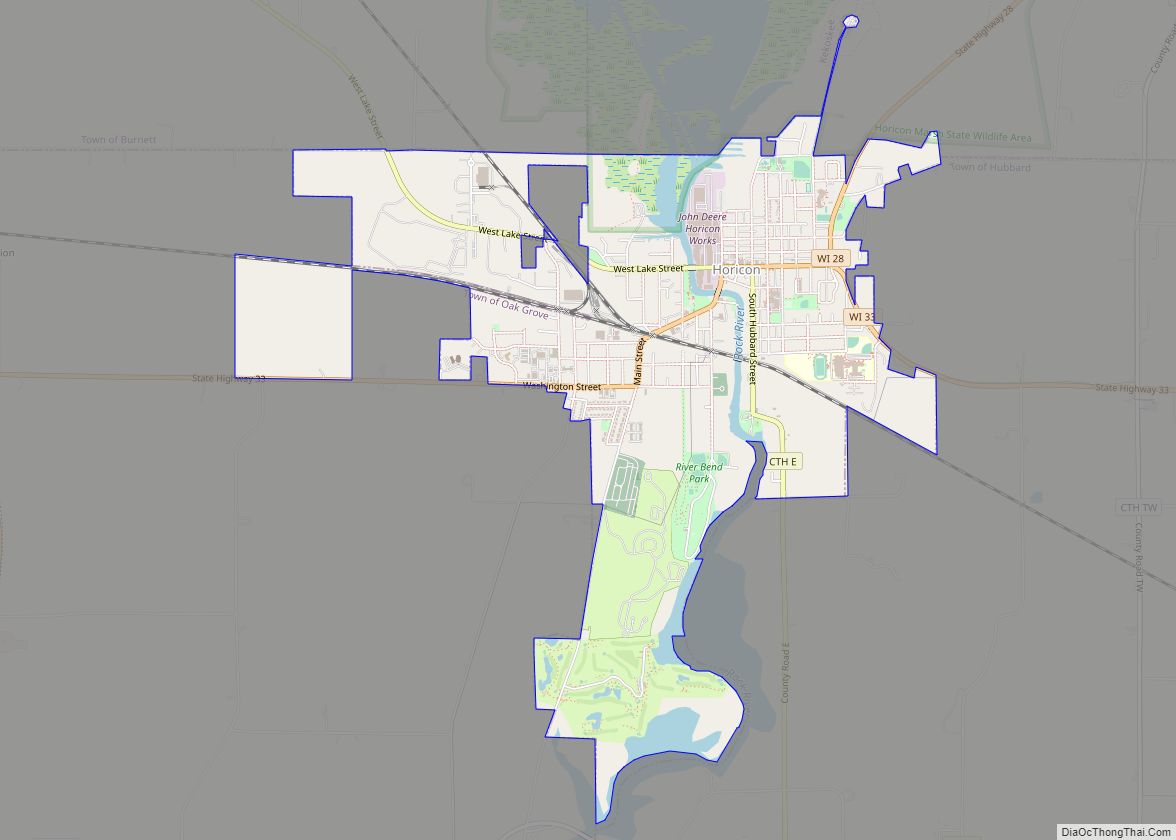
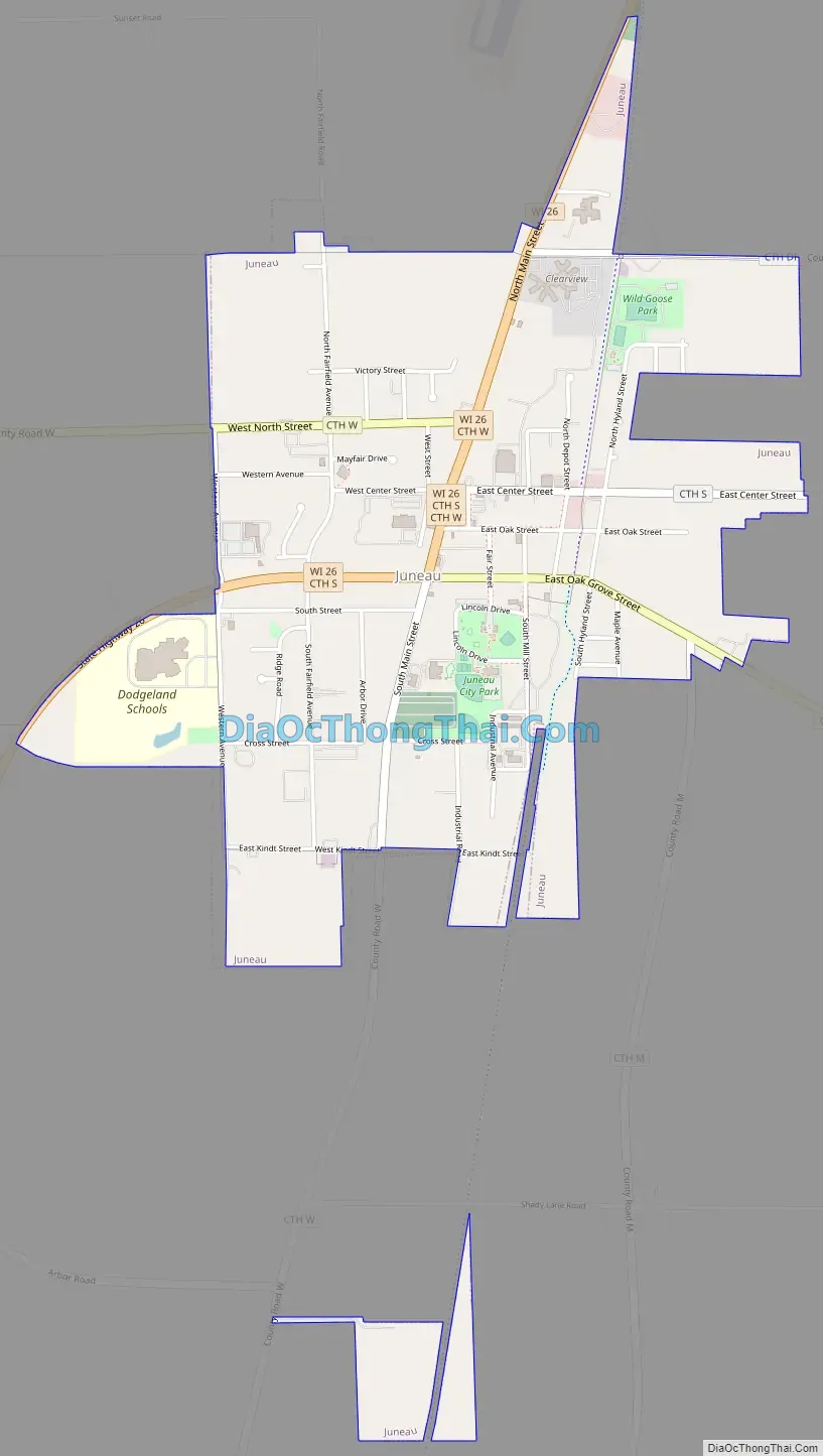
Juneau Road Map
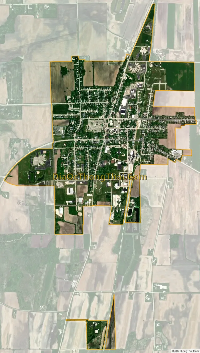
Juneau city Satellite Map
Geography
Juneau is located at 43°24′23″N 88°42′12″W / 43.40639°N 88.70333°W / 43.40639; -88.70333 (43.406251, -88.703399).
According to the United States Census Bureau, the city has a total area of 1.65 square miles (4.27 km), all of it land.
See also
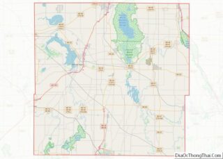
Map of Wisconsin State and its subdivision:- Adams
- Ashland
- Barron
- Bayfield
- Brown
- Buffalo
- Burnett
- Calumet
- Chippewa
- Clark
- Columbia
- Crawford
- Dane
- Dodge
- Door
- Douglas
- Dunn
- Eau Claire
- Florence
- Fond du Lac
- Forest
- Grant
- Green
- Green Lake
- Iowa
- Iron
- Jackson
- Jefferson
- Juneau
- Kenosha
- Kewaunee
- La Crosse
- Lafayette
- Lake Michigan
- Lake Superior
- Langlade
- Lincoln
- Manitowoc
- Marathon
- Marinette
- Marquette
- Menominee
- Milwaukee
- Monroe
- Oconto
- Oneida
- Outagamie
- Ozaukee
- Pepin
- Pierce
- Polk
- Portage
- Price
- Racine
- Richland
- Rock
- Rusk
- Saint Croix
- Sauk
- Sawyer
- Shawano
- Sheboygan
- Taylor
- Trempealeau
- Vernon
- Vilas
- Walworth
- Washburn
- Washington
- Waukesha
- Waupaca
- Waushara
- Winnebago
- Wood
- Alabama
- Alaska
- Arizona
- Arkansas
- California
- Colorado
- Connecticut
- Delaware
- District of Columbia
- Florida
- Georgia
- Hawaii
- Idaho
- Illinois
- Indiana
- Iowa
- Kansas
- Kentucky
- Louisiana
- Maine
- Maryland
- Massachusetts
- Michigan
- Minnesota
- Mississippi
- Missouri
- Montana
- Nebraska
- Nevada
- New Hampshire
- New Jersey
- New Mexico
- New York
- North Carolina
- North Dakota
- Ohio
- Oklahoma
- Oregon
- Pennsylvania
- Rhode Island
- South Carolina
- South Dakota
- Tennessee
- Texas
- Utah
- Vermont
- Virginia
- Washington
- West Virginia
- Wisconsin
- Wyoming