Bunn is a town in Franklin County, North Carolina, United States. The population was 327 at the 2020 census.
| Name: | Bunn town |
|---|---|
| LSAD Code: | 43 |
| LSAD Description: | town (suffix) |
| State: | North Carolina |
| County: | Franklin County |
| Incorporated: | March 3, 1913 |
| Elevation: | 279 ft (85 m) |
| Total Area: | 0.54 sq mi (1.40 km²) |
| Land Area: | 0.54 sq mi (1.40 km²) |
| Water Area: | 0.00 sq mi (0.00 km²) |
| Total Population: | 327 |
| Population Density: | 605.56/sq mi (233.98/km²) |
| ZIP code: | 27508 |
| Area code: | 919 and 984 |
| FIPS code: | 3708860 |
| GNISfeature ID: | 0982260 |
| Website: | https://www.townofbunn.org |
Online Interactive Map
Click on ![]() to view map in "full screen" mode.
to view map in "full screen" mode.
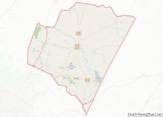
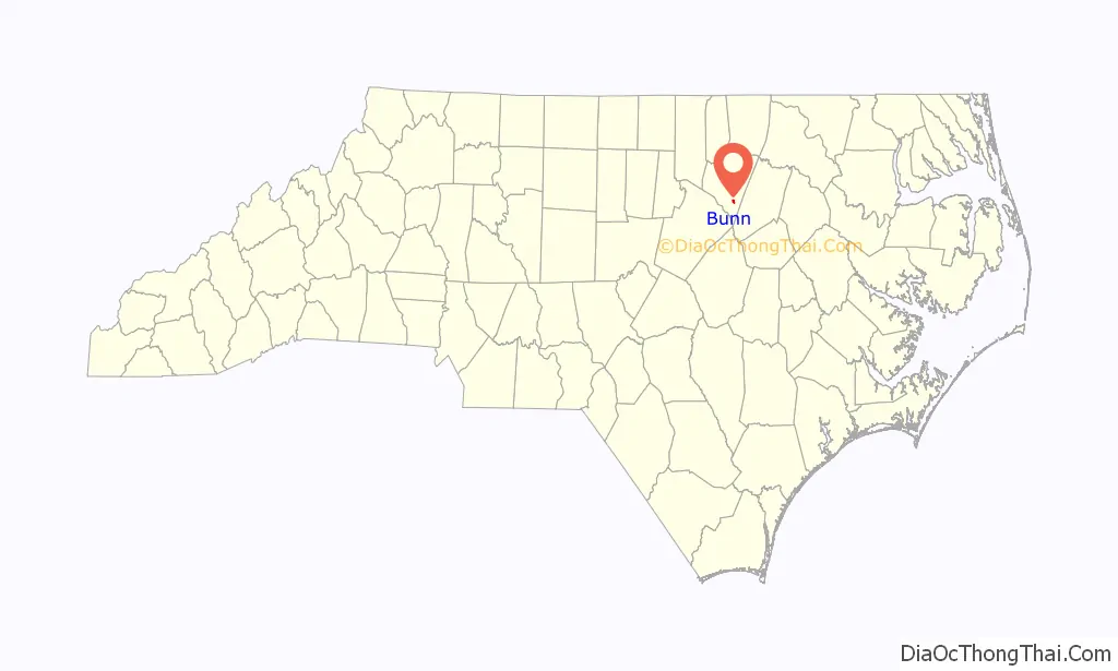
Bunn location map. Where is Bunn town?

History
Bunn is named for Green Walker Bunn, who first settled southeast of the current town in the late 1800s. The town was established on land purchased around 1909 by the Montgomery Lumber Company and incorporated four years later.
The Andrews-Moore House and Baker Farm are listed on the National Register of Historic Places.
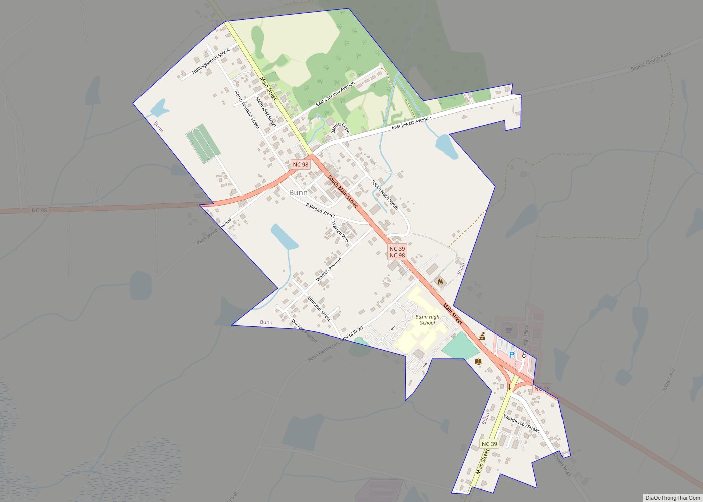
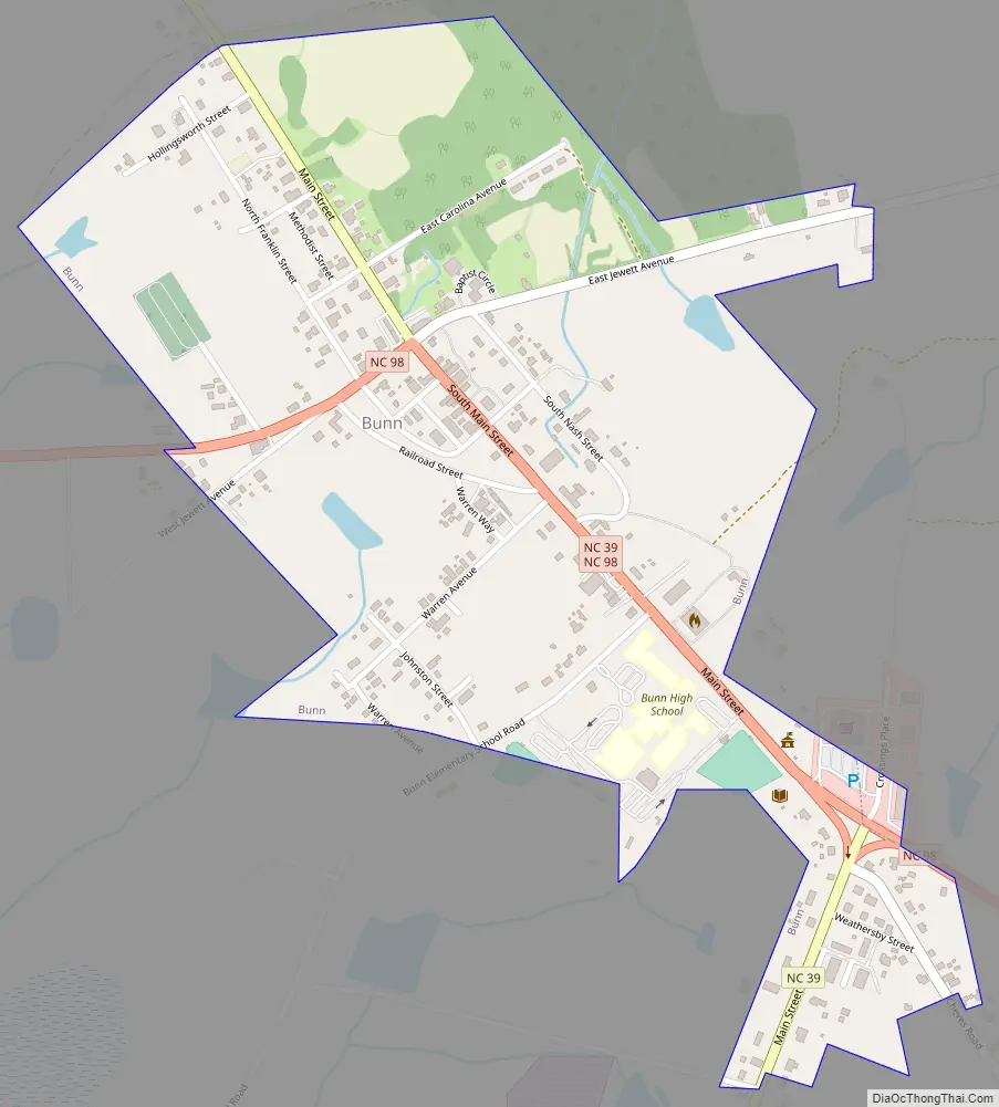
Bunn Road Map
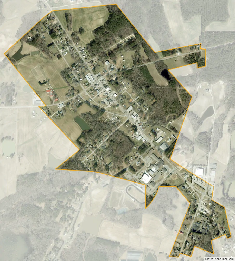
Bunn city Satellite Map
Geography
Bunn is located in southeastern Franklin County at 35°57′29″N 78°15′7″W / 35.95806°N 78.25194°W / 35.95806; -78.25194 (35.958106, −78.251980). North Carolina Highway 98 passes through the town, leading southeastward 6 miles (10 km) to U.S. Route 64 and west 15 miles (24 km) to Wake Forest. North Carolina Highway 39 intersects NC 98 in the center of town; it leads north 10 miles (16 km) to Louisburg, the Franklin County seat, and south 7 miles (11 km) to US 64 east of Zebulon. NC 98 and 39 combine to form South Main Street in the center of Bunn.
According to the United States Census Bureau, the town has a total area of 0.54 square miles (1.4 km), all land.
See also
Map of North Carolina State and its subdivision:- Alamance
- Alexander
- Alleghany
- Anson
- Ashe
- Avery
- Beaufort
- Bertie
- Bladen
- Brunswick
- Buncombe
- Burke
- Cabarrus
- Caldwell
- Camden
- Carteret
- Caswell
- Catawba
- Chatham
- Cherokee
- Chowan
- Clay
- Cleveland
- Columbus
- Craven
- Cumberland
- Currituck
- Dare
- Davidson
- Davie
- Duplin
- Durham
- Edgecombe
- Forsyth
- Franklin
- Gaston
- Gates
- Graham
- Granville
- Greene
- Guilford
- Halifax
- Harnett
- Haywood
- Henderson
- Hertford
- Hoke
- Hyde
- Iredell
- Jackson
- Johnston
- Jones
- Lee
- Lenoir
- Lincoln
- Macon
- Madison
- Martin
- McDowell
- Mecklenburg
- Mitchell
- Montgomery
- Moore
- Nash
- New Hanover
- Northampton
- Onslow
- Orange
- Pamlico
- Pasquotank
- Pender
- Perquimans
- Person
- Pitt
- Polk
- Randolph
- Richmond
- Robeson
- Rockingham
- Rowan
- Rutherford
- Sampson
- Scotland
- Stanly
- Stokes
- Surry
- Swain
- Transylvania
- Tyrrell
- Union
- Vance
- Wake
- Warren
- Washington
- Watauga
- Wayne
- Wilkes
- Wilson
- Yadkin
- Yancey
- Alabama
- Alaska
- Arizona
- Arkansas
- California
- Colorado
- Connecticut
- Delaware
- District of Columbia
- Florida
- Georgia
- Hawaii
- Idaho
- Illinois
- Indiana
- Iowa
- Kansas
- Kentucky
- Louisiana
- Maine
- Maryland
- Massachusetts
- Michigan
- Minnesota
- Mississippi
- Missouri
- Montana
- Nebraska
- Nevada
- New Hampshire
- New Jersey
- New Mexico
- New York
- North Carolina
- North Dakota
- Ohio
- Oklahoma
- Oregon
- Pennsylvania
- Rhode Island
- South Carolina
- South Dakota
- Tennessee
- Texas
- Utah
- Vermont
- Virginia
- Washington
- West Virginia
- Wisconsin
- Wyoming