Cañon City /ˈkænjən/ is a home rule municipality that is the county seat and the most populous municipality of Fremont County, Colorado, United States. The city population was 17,141 at the 2020 United States Census. Cañon City is the principal city of the Cañon City, CO Micropolitan Statistical Area and is a part of the Front Range Urban Corridor. Cañon City straddles the easterly flowing Arkansas River and is a popular tourist destination for sightseeing, whitewater rafting, and rock climbing. The city is known for its many public parks, fossil discoveries, Skyline Drive, The Royal Gorge railroad, the Royal Gorge, and extensive natural hiking paths. In 1994, the United States Board on Geographic Names approved adding the tilde to the official name of Cañon City, a change from Canon City as the official name in its decisions of 1906 and 1975. It is one of the few U.S. cities to have the Spanish Ñ in its name, others being La Cañada Flintridge, California; Española, New Mexico; Peñasco, New Mexico; and Peñitas, Texas.
| Name: | Cañon City city |
|---|---|
| LSAD Code: | 25 |
| LSAD Description: | city (suffix) |
| State: | Colorado |
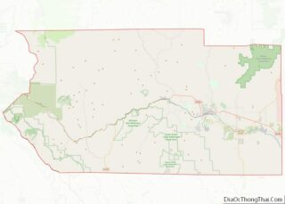
| County: | Fremont County |
| Incorporated: | April 3, 1872 |
| Elevation: | 5,332 ft (1,625 m) |
| Total Area: | 12.404 sq mi (32.127 km²) |
| Land Area: | 12.392 sq mi (32.095 km²) |
| Water Area: | 0.012 sq mi (0.032 km²) |
| Total Population: | 17,141 |
| Population Density: | 1,383/sq mi (534/km²) |
| ZIP code: | 81212, 81215 (PO Box) |
| Area code: | 719 |
| FIPS code: | 0811810 |
| Website: | www.canoncity.org |
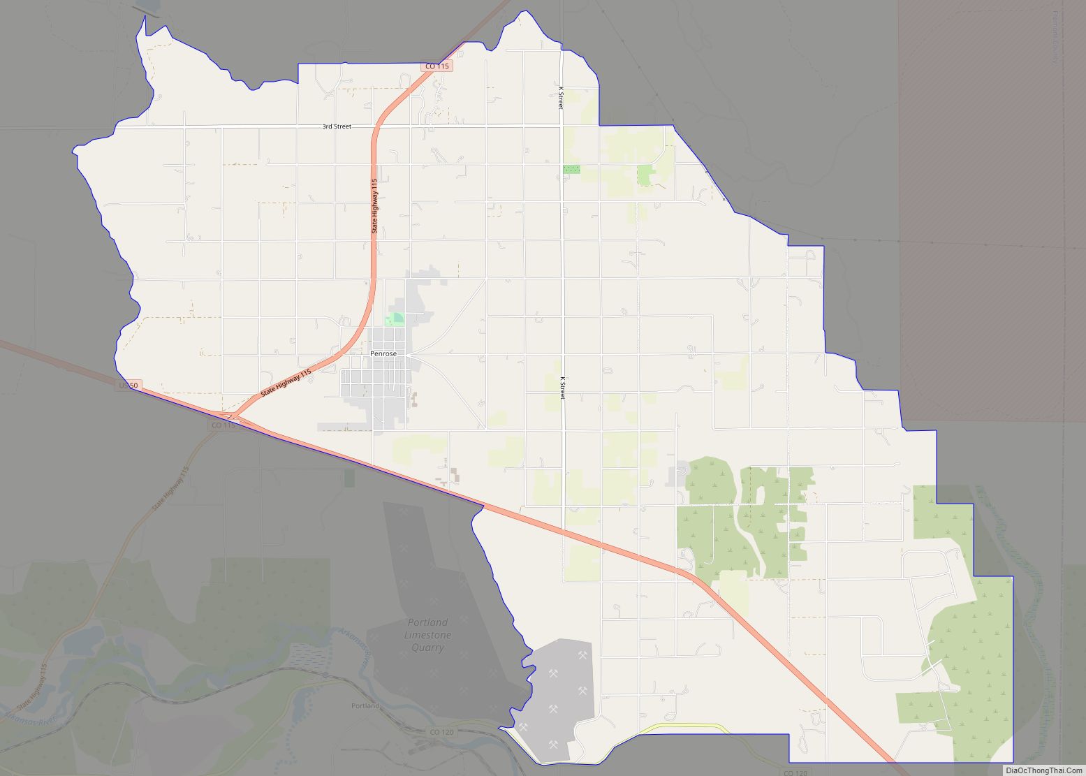
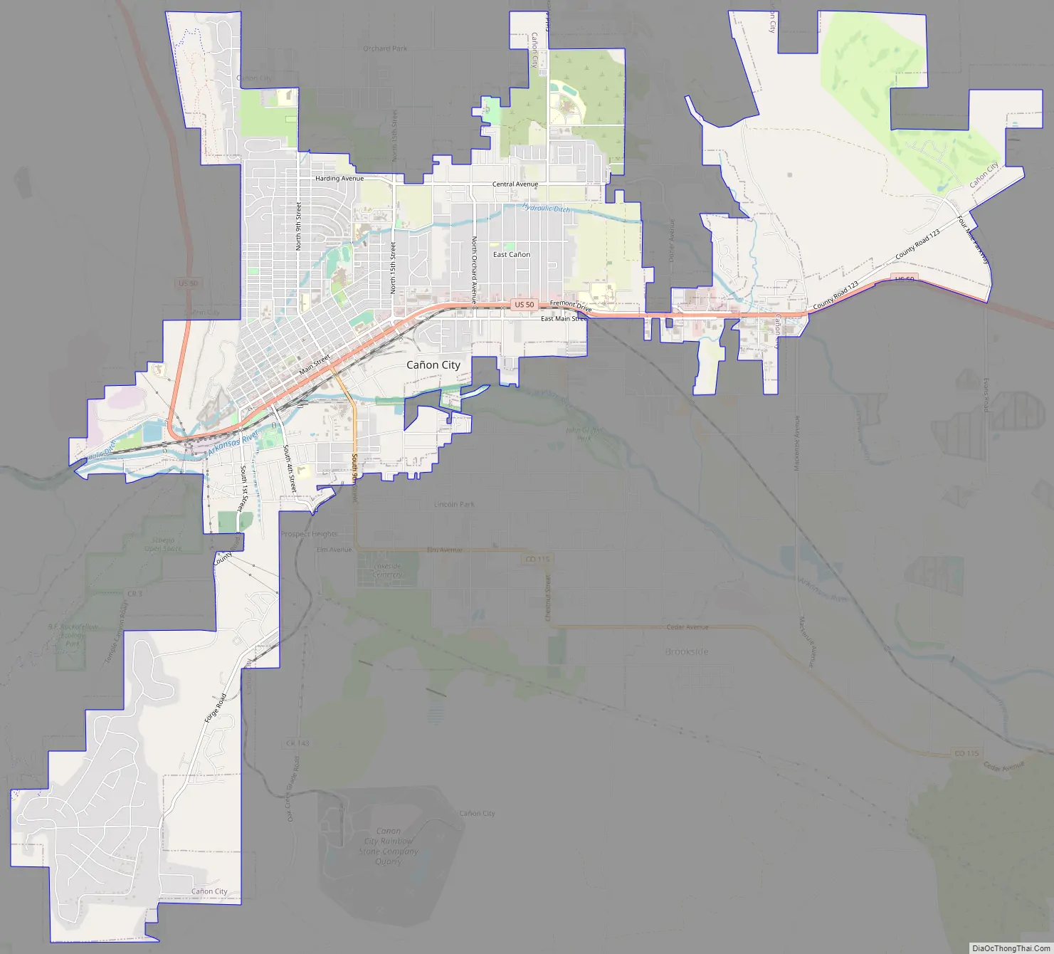
Online Interactive Map
Click on ![]() to view map in "full screen" mode.
to view map in "full screen" mode.
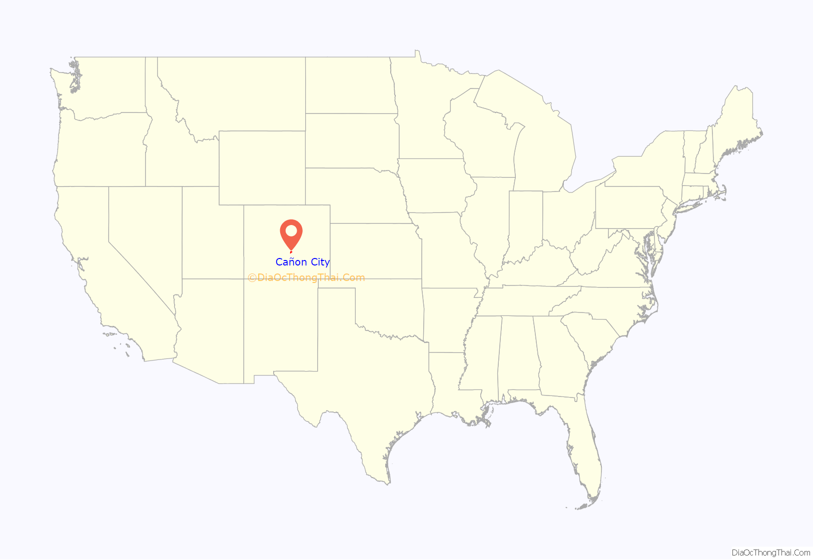
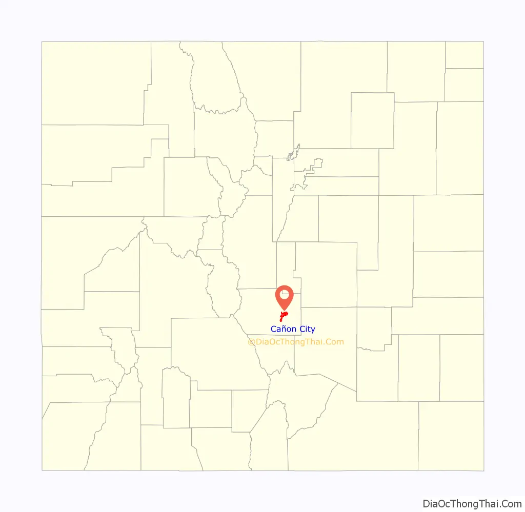
Cañon City location map. Where is Cañon City city?
History
Cañon City was laid out on January 17, 1858, during the Pike’s Peak Gold Rush, but then the land was left idle. A new company “jumped the claim” to the town’s site in late 1859, and it put up the first building in February 1860. This town was originally intended as a commercial center for mining in South Park and the upper Arkansas River.
1860s to 1900
In 1861, the town raised two companies of volunteers to serve with the Second Colorado Infantry during the American Civil War. This regiment fought in skirmishes in nearby New Mexico and as far east as the Indian Territory (Oklahoma) and Missouri before ending its organization in 1865.
In 1862, A. M. Cassaday drilled for petroleum 6 miles (10 km) north of Cañon City, close to a known oil seep. Cassaday struck oil at the depth of 50 feet (15 m), and he completed the first commercial oil well west of the Mississippi River. He drilled five or six more wells nearby, and he refined kerosene and fuel oil from the petroleum. Cassaday sold the products in Denver.
A number of metal ore smelters were built in Cañon City following the discovery of gold at Cripple Creek in 1891.
Historical designations
The Cañon City Downtown Historic District is an historic district that was listed on the National Register of Historic Places in 1983.
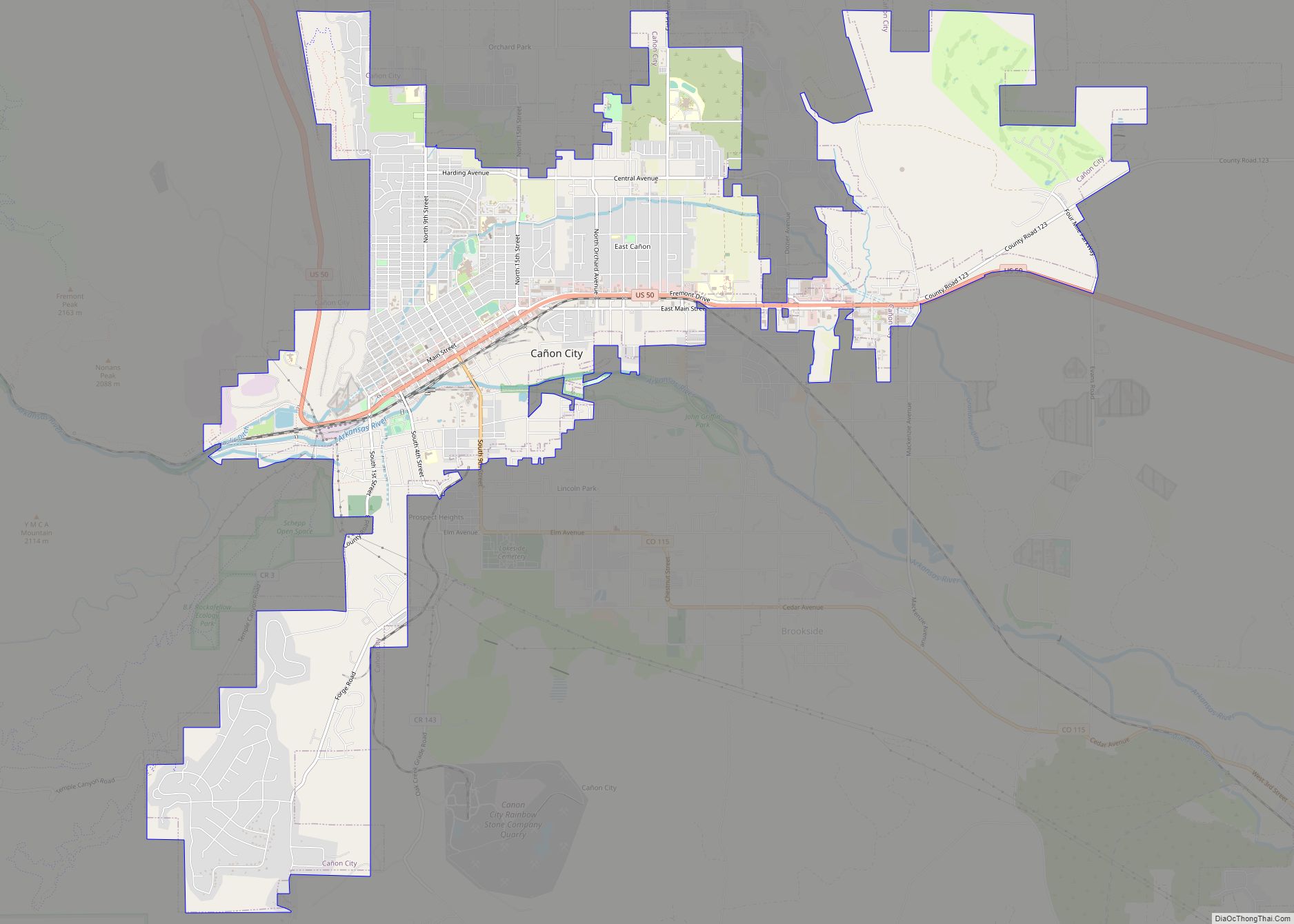
Cañon City Road Map
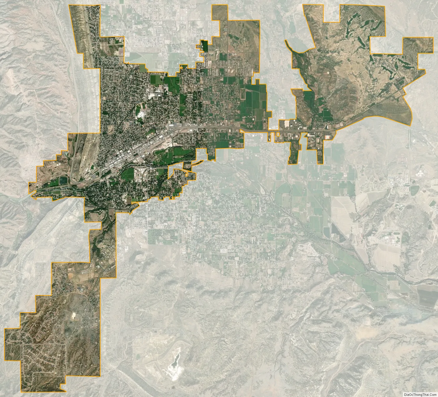
Cañon City city Satellite Map
Geography
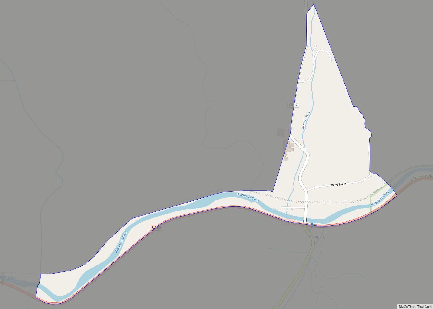
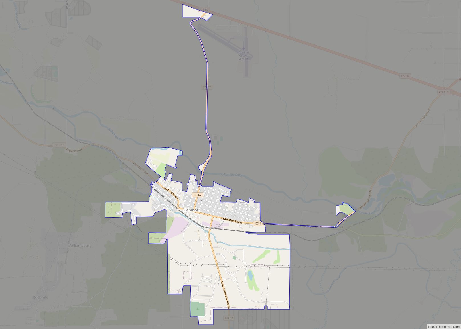
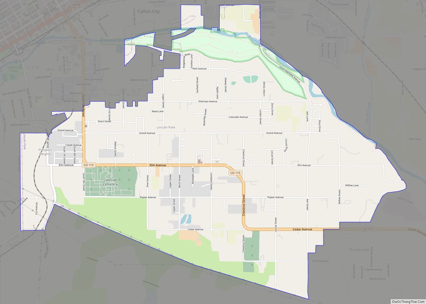
Cañon City is located in eastern Fremont County at 38°26′48″N 105°13′42″W / 38.44667°N 105.22833°W / 38.44667; -105.22833 (38.446800, -105.228305) at an altitude of 5,332 feet (1,625 m). It sits primarily on the north side of the Arkansas River, just east of where the river exits from Royal Gorge. It is bordered to the south by the unincorporated community of Lincoln Park. Via U.S. Route 50, Pueblo is 39 miles (63 km) to the east and Poncha Springs is 62 miles (100 km) to the west. Colorado Springs is 45 miles (72 km) to the northeast.
At the 2020 United States Census, the city had a total area of 7,939 acres (32.127 km) including 7.9 acres (0.032 km) of water.
Climate
The city’s nickname, “the Climate Capital of Colorado”, derives from the combination of unique geography and 5,300-foot (1,600 m) elevation protecting the city from harsh weather conditions. The average daily high temperature in January is 14 °F (7.8 °C) warmer in Cañon City than in Grand Junction, even though the elevation of Cañon City is higher.
The average minimum temperature in January is 20 °F (−7 °C). During July, overnight lows are 59 °F (15 °C) on average. Cañon City has a semi-arid climate (Köppen climate classification BSk).
Neighborhoods
As Cañon City has grown, the city has both annexed surrounding communities and developed new subdivisions to create the city that exists today.
- Dawson Ranch
- Eagle Heights
- Fireman’s Bluff
- Four Mile Ranch
- Gold Cañon
- Meadowbrook
- Orchard Park
- South Cañon, a historic neighborhood located on the west side south of the Arkansas River
- Sunrise Mesa
- Western Meadows
- Wolf Park
- Five Star Mobile Home park
See also
Map of Colorado State and its subdivision:- Adams
- Alamosa
- Arapahoe
- Archuleta
- Baca
- Bent
- Boulder
- Broomfield
- Chaffee
- Cheyenne
- Clear Creek
- Conejos
- Costilla
- Crowley
- Custer
- Delta
- Denver
- Dolores
- Douglas
- Eagle
- El Paso
- Elbert
- Fremont
- Garfield
- Gilpin
- Grand
- Gunnison
- Hinsdale
- Huerfano
- Jackson
- Jefferson
- Kiowa
- Kit Carson
- La Plata
- Lake
- Larimer
- Las Animas
- Lincoln
- Logan
- Mesa
- Mineral
- Moffat
- Montezuma
- Montrose
- Morgan
- Otero
- Ouray
- Park
- Phillips
- Pitkin
- Prowers
- Pueblo
- Rio Blanco
- Rio Grande
- Routt
- Saguache
- San Juan
- San Miguel
- Sedgwick
- Summit
- Teller
- Washington
- Weld
- Yuma
- Alabama
- Alaska
- Arizona
- Arkansas
- California
- Colorado
- Connecticut
- Delaware
- District of Columbia
- Florida
- Georgia
- Hawaii
- Idaho
- Illinois
- Indiana
- Iowa
- Kansas
- Kentucky
- Louisiana
- Maine
- Maryland
- Massachusetts
- Michigan
- Minnesota
- Mississippi
- Missouri
- Montana
- Nebraska
- Nevada
- New Hampshire
- New Jersey
- New Mexico
- New York
- North Carolina
- North Dakota
- Ohio
- Oklahoma
- Oregon
- Pennsylvania
- Rhode Island
- South Carolina
- South Dakota
- Tennessee
- Texas
- Utah
- Vermont
- Virginia
- Washington
- West Virginia
- Wisconsin
- Wyoming