The City of Florence is a Statutory City located in Fremont County, Colorado, United States. The city population was 3,822 at the 2020 United States Census. Florence is a part of the Cañon City, CO Micropolitan Statistical Area and the Front Range Urban Corridor.
| Name: | Florence city |
|---|---|
| LSAD Code: | 25 |
| LSAD Description: | city (suffix) |
| State: | Colorado |
| County: | Fremont County |
| Incorporated: | September 13, 1887 |
| Elevation: | 5,180 ft (1,579 m) |
| Total Area: | 4.282 sq mi (11.091 km²) |
| Land Area: | 4.276 sq mi (11.076 km²) |
| Water Area: | 0.006 sq mi (0.015 km²) |
| Total Population: | 3,822 |
| Population Density: | 894/sq mi (345/km²) |
| ZIP code: | 81226 & 81290 |
| Area code: | 719 |
| FIPS code: | 0827040 |
| GNISfeature ID: | 0204775 |
| Website: | cityofflorence.colorado.gov |
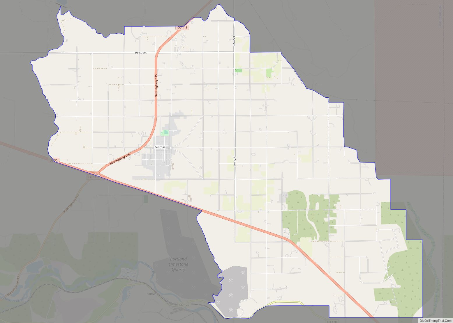
Online Interactive Map
Click on ![]() to view map in "full screen" mode.
to view map in "full screen" mode.
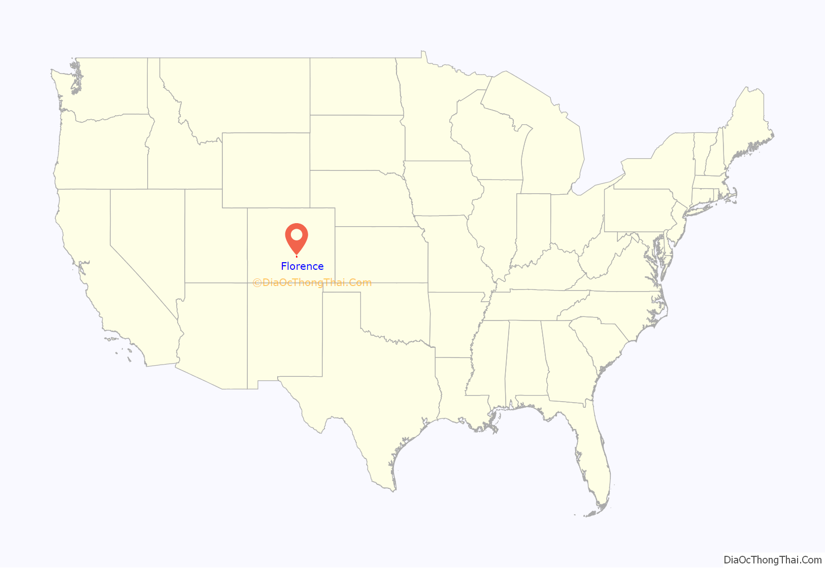
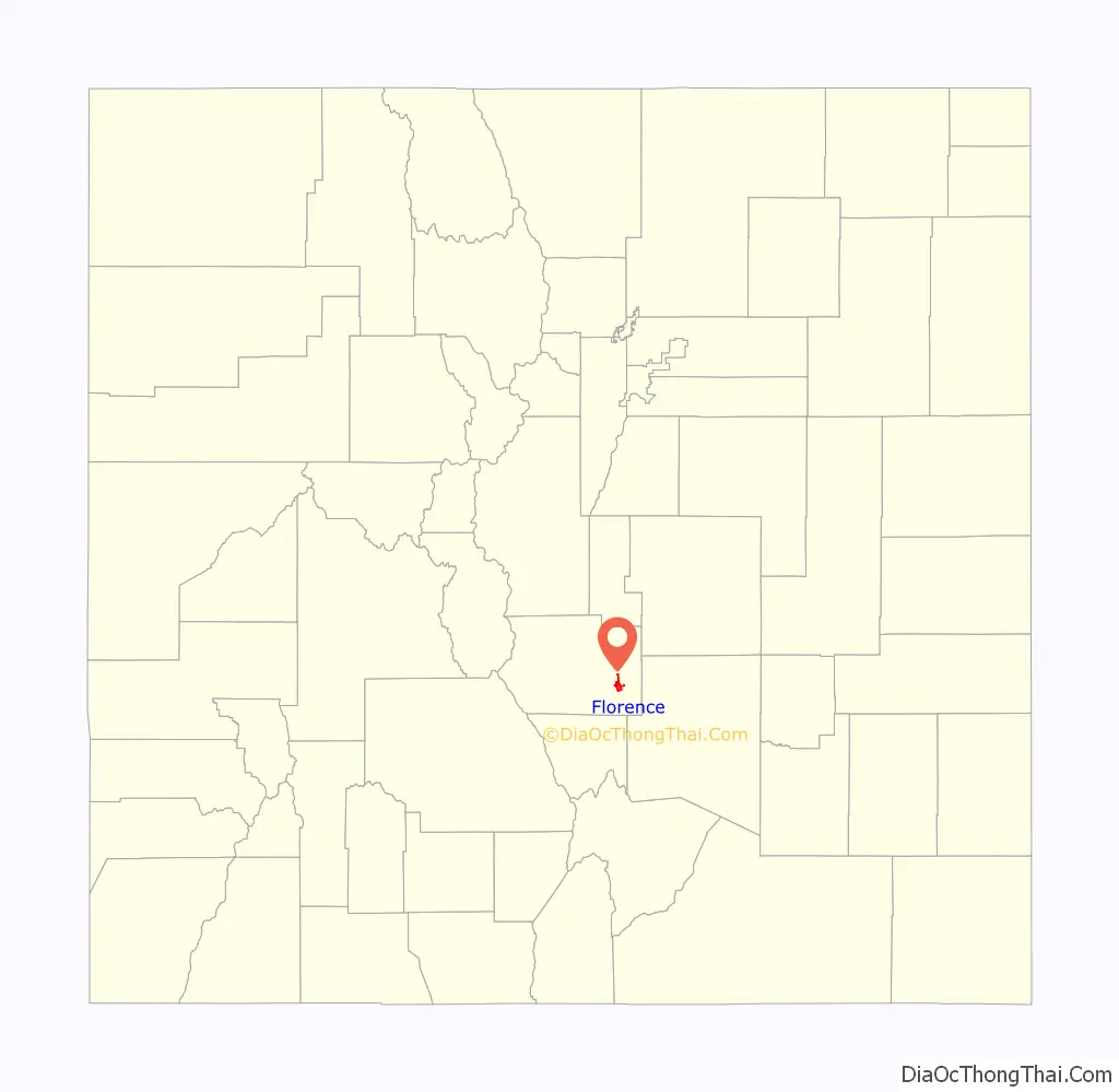
Florence location map. Where is Florence city?
History
Florence was built as a transportation center, with three railroads including a small railroad depot for the trains that hauled coal from the neighboring towns of Rockvale and Coal Creek. After a small oil was discovered north of Canon City at Oil Spring, commercial quantity oil was discovered in Florence in 1862, Florence became the first significant oil center west of the Mississippi. In the early 1880s the town grew rapidly. The city was named after Florence, the daughter of local settler James McCandless. The town was incorporated in 1887.
The Downtown Florence Historic District was listed on the National Register of Historic Places in 2017.
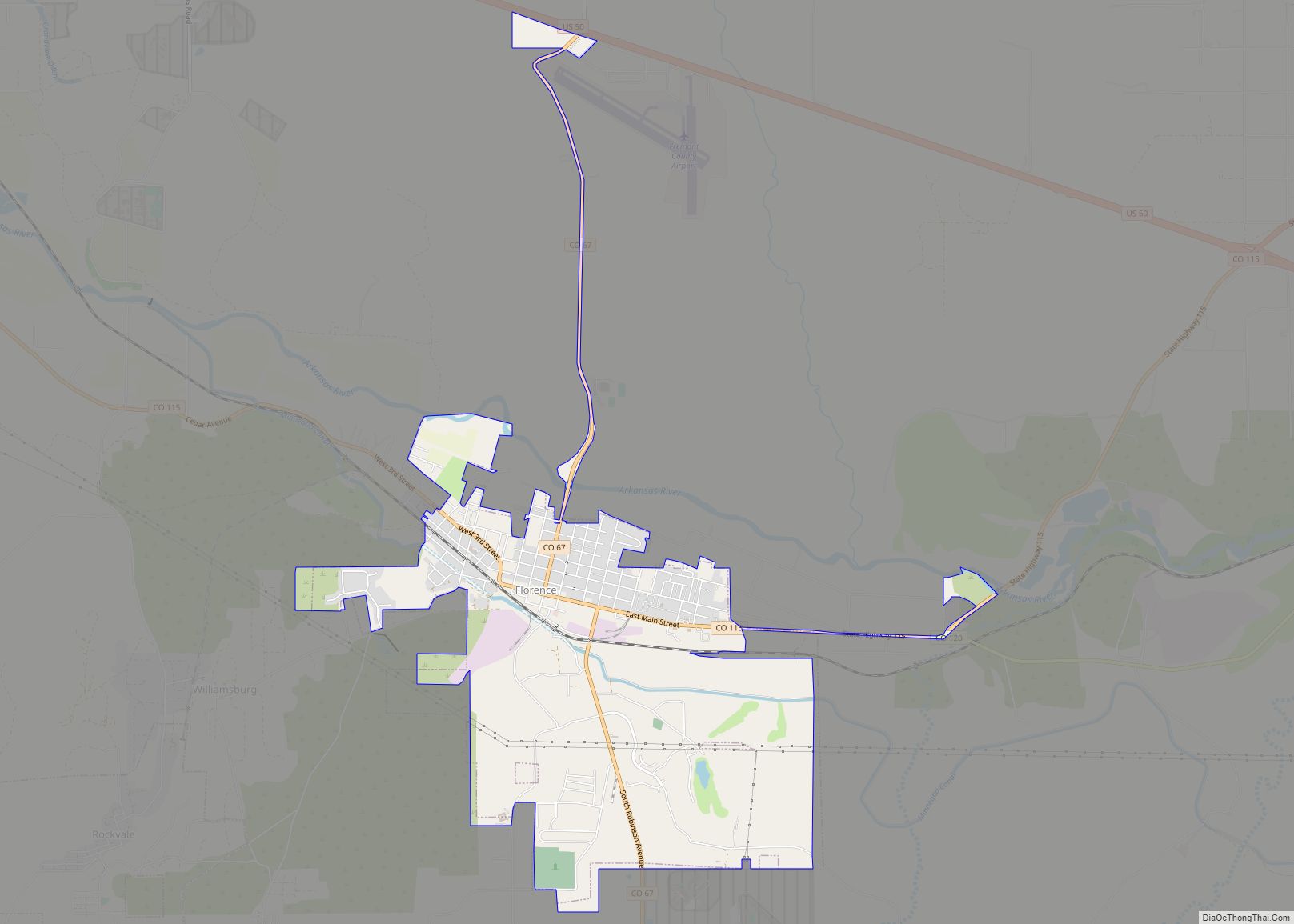
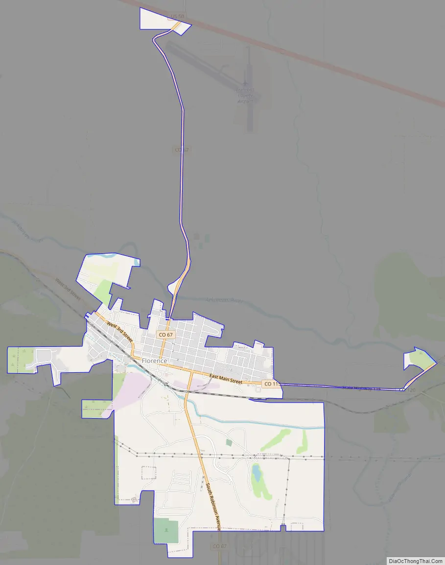
Florence Road Map
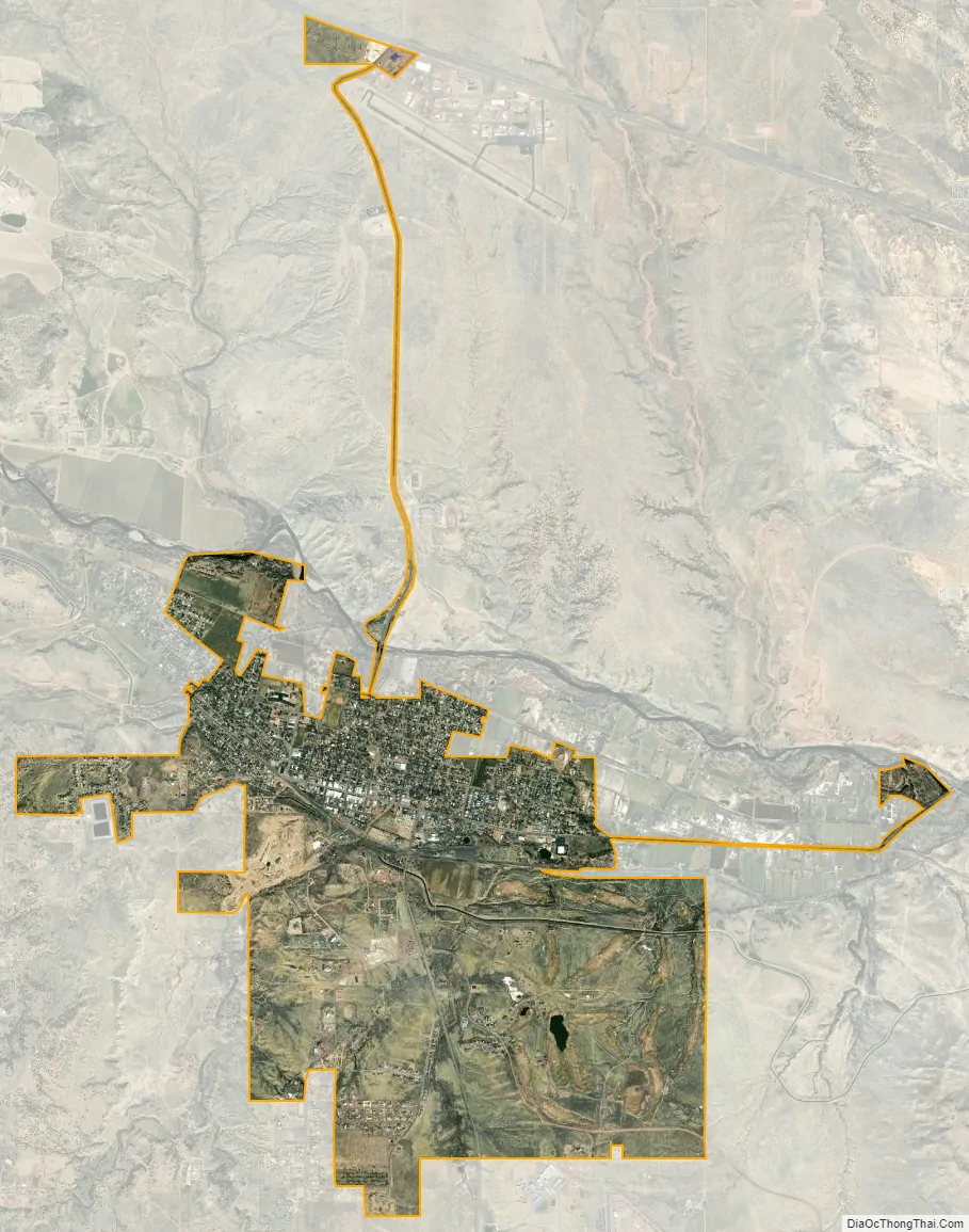
Florence city Satellite Map
Geography
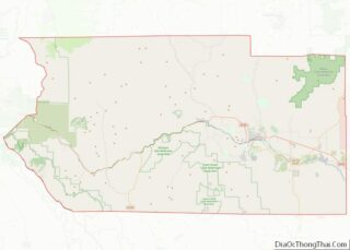
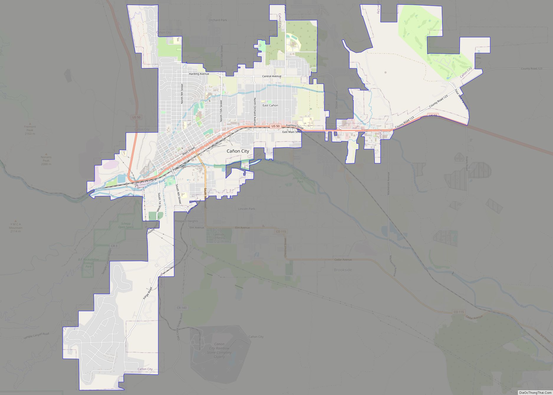
Florence is in eastern Fremont County, on the south side of the Arkansas River. It is bordered to the west by the town of Williamsburg, and the town of Coal Creek is 3 miles (5 km) to the southwest. Colorado State Highway 115 runs northwest 9 miles (14 km) to Cañon City and northeast 6 miles (10 km) to Penrose, intersecting U.S. Route 50 in each direction. Colorado State Highway 67 leads north 3.5 miles (5.6 km) to US 50 and south 11 miles (18 km) to Wetmore. Pueblo is 33 miles (53 km) to the east via CO 115 and US 50.
At the 2020 United States Census, the town had a total area of 2,741 acres (11.091 km) including 3.7 acres (0.015 km) of water.
Florence sits in the semi-arid high desert lands of southern Colorado.
See also
Map of Colorado State and its subdivision:- Adams
- Alamosa
- Arapahoe
- Archuleta
- Baca
- Bent
- Boulder
- Broomfield
- Chaffee
- Cheyenne
- Clear Creek
- Conejos
- Costilla
- Crowley
- Custer
- Delta
- Denver
- Dolores
- Douglas
- Eagle
- El Paso
- Elbert
- Fremont
- Garfield
- Gilpin
- Grand
- Gunnison
- Hinsdale
- Huerfano
- Jackson
- Jefferson
- Kiowa
- Kit Carson
- La Plata
- Lake
- Larimer
- Las Animas
- Lincoln
- Logan
- Mesa
- Mineral
- Moffat
- Montezuma
- Montrose
- Morgan
- Otero
- Ouray
- Park
- Phillips
- Pitkin
- Prowers
- Pueblo
- Rio Blanco
- Rio Grande
- Routt
- Saguache
- San Juan
- San Miguel
- Sedgwick
- Summit
- Teller
- Washington
- Weld
- Yuma
- Alabama
- Alaska
- Arizona
- Arkansas
- California
- Colorado
- Connecticut
- Delaware
- District of Columbia
- Florida
- Georgia
- Hawaii
- Idaho
- Illinois
- Indiana
- Iowa
- Kansas
- Kentucky
- Louisiana
- Maine
- Maryland
- Massachusetts
- Michigan
- Minnesota
- Mississippi
- Missouri
- Montana
- Nebraska
- Nevada
- New Hampshire
- New Jersey
- New Mexico
- New York
- North Carolina
- North Dakota
- Ohio
- Oklahoma
- Oregon
- Pennsylvania
- Rhode Island
- South Carolina
- South Dakota
- Tennessee
- Texas
- Utah
- Vermont
- Virginia
- Washington
- West Virginia
- Wisconsin
- Wyoming