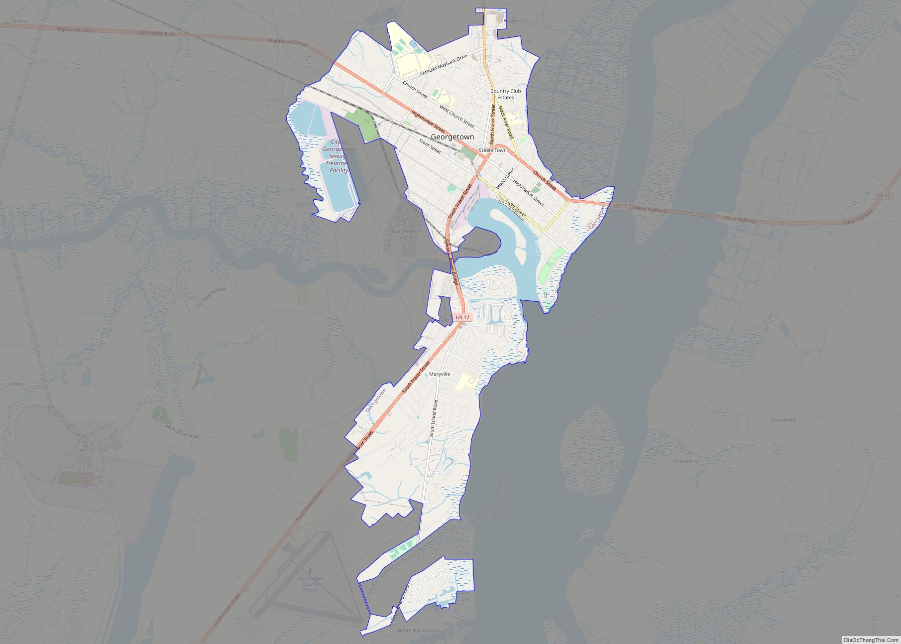
Georgetown is the third oldest city in the U.S. state of South Carolina and the county seat of Georgetown County, in the Lowcountry. As of the 2010 census it had a population of 9,163. Located on Winyah Bay at the confluence of the Black, Great Pee Dee, Waccamaw, and Sampit rivers, Georgetown is the second largest seaport in South Carolina, handling over 960,000 tons of materials a year, while Charleston is the largest.
Beginning in the colonial era, Georgetown was the commercial center of an indigo- and rice-producing area. Rice replaced indigo as the chief commodity crop in the antebellum area. Later the timber industry became important here.
| Name: | Georgetown city |
|---|---|
| LSAD Code: | 25 |
| LSAD Description: | city (suffix) |
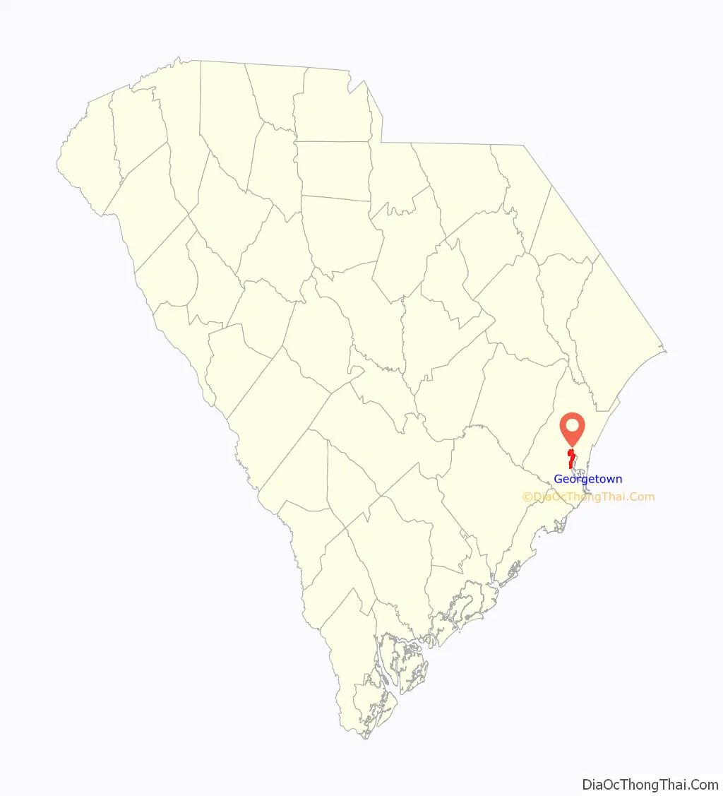
| State: | South Carolina |
| County: | Georgetown County |
| Incorporated: | 1729 |
| Elevation: | 18 ft (5 m) |
| Total Area: | 7.59 sq mi (19.65 km²) |
| Land Area: | 6.99 sq mi (18.11 km²) |
| Water Area: | 0.59 sq mi (1.54 km²) |
| Total Population: | 8,403 |
| Population Density: | 1,201.80/sq mi (464.02/km²) |
| ZIP code: | 29440, 29442 |
| Area code: | 843, 854 |
| FIPS code: | 4528870 |
| GNISfeature ID: | 1247888 |
| Website: | www.cityofgeorgetownsc.com |
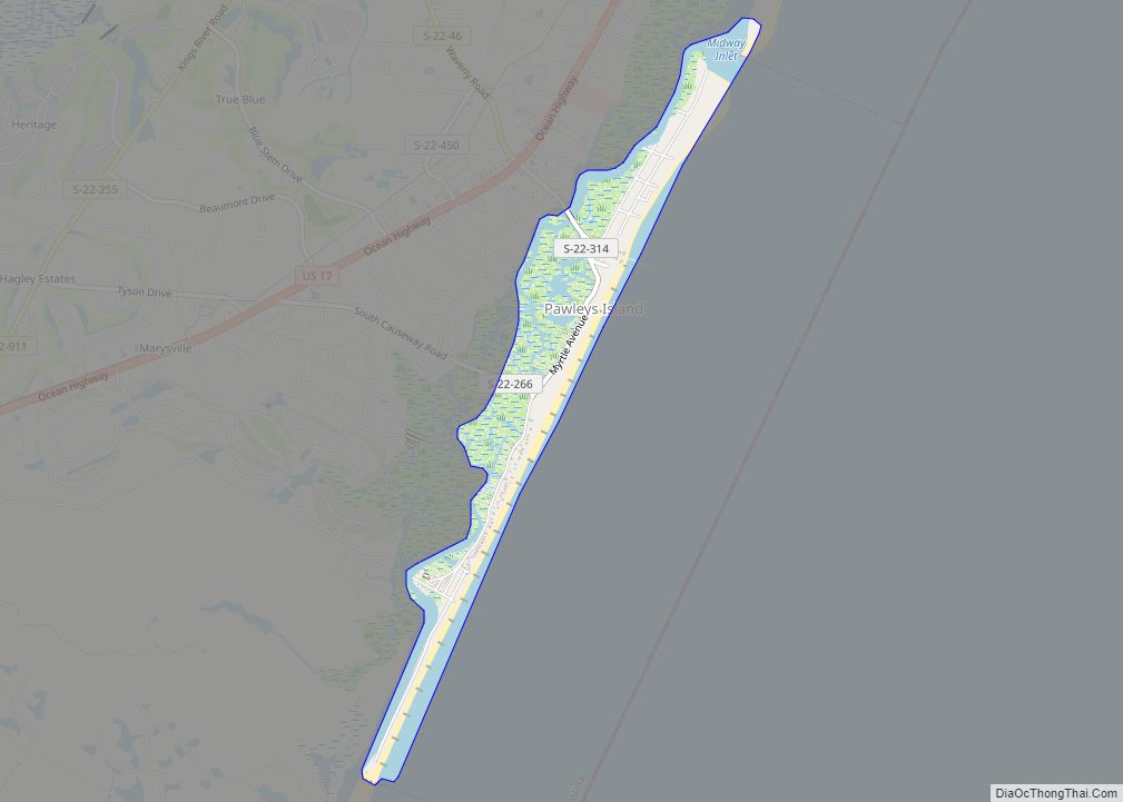
Online Interactive Map
Click on ![]() to view map in "full screen" mode.
to view map in "full screen" mode.
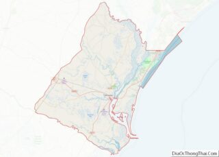
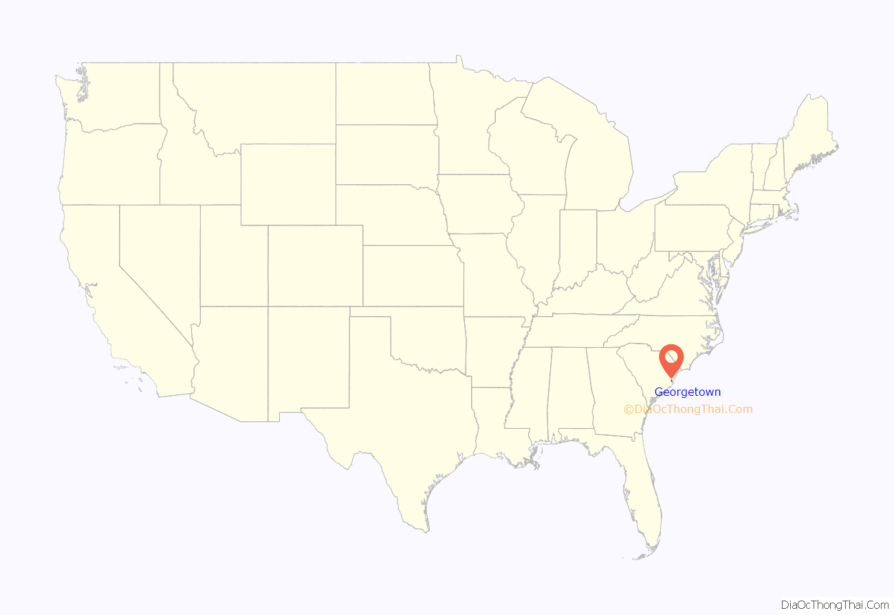
Georgetown location map. Where is Georgetown city?
History
Pre-Revolution
In 1526 a Spanish expedition under Lucas Vázquez de Ayllón founded a colony on Waccamaw Neck called San Miguel de Guadalupe. The settlers included enslaved Africans, and was the first European settlement in North America with African slaves. The colony failed for multiple reasons, including a fever epidemic and a revolt of the slaves. The Africans escaped and joined members of the indigenous Cofitachequi chiefdom in the area, people of the late Mississippian culture.
Having failed as farmers, the surviving Spanish built a ship from local cypress and oak trees.
The next settlement in the area was made by English colonists. After settling Charles Town in 1670, the English established trade with regional Indian tribes. Trading posts in outlying areas quickly developed as settlements.
By 1721 the colonial government granted the English residents’ petition to found a new parish, Prince George, Winyah, on the Black River. In 1734, Prince George, Winyah was divided; and the newly created Prince Frederick Parish congregation occupied the church at Black River. Prince George Parish, Winyah encompassed the new town of Georgetown that was developing on the Sampit River.
In 1729, Elisha Screven laid the plan for Georgetown and developed the city in a four-by-eight block grid. The original grid city is listed as a historic district on the National Register of Historic Places. It bears the original street names, lot numbers, and has many original homes.
Soon after Georgetown was established, the Indian trade declined. Many traders made longer trips to the interior of the upper rivers, for instance to Cherokee Country. In the Lowcountry, plantation owners developed large plantations and cultivated indigo as the cash commodity crop, with rice as a secondary crop. Both were labor-intensive and dependent on enslaved Africans and African Americans, the former imported from Africa in the Atlantic slave trade. Agricultural profits were so great between 1735 and 1775 that in 1757 the Winyah Indigo Society, whose members paid dues in indigo, opened and maintained the first public school for white children between Charles Town and Wilmington. By the early 19th century, rice replaced indigo as the chief commodity crop. It became a staple of regional diets as well, becoming characteristic in the area.
In the American Revolution, the Georgetown planter, Thomas Lynch Jr., signed the Declaration of Independence. During the final years of the conflict, Georgetown was the important port for supplying General Nathanael Greene’s army. Francis Marion (the “Swamp Fox”) led many guerrilla actions in the vicinity.
Antebellum period
Georgetown had a large population of Jewish-Americans in the early 1800s. Following the American Revolution, rice surpassed indigo as the staple crop. It was cultivated in the swampy lowlands along the rivers, where enslaved African and African-American laborers built large earthworks: dams, gates and canals to irrigate and drain the rice fields during cultivation. Large rice plantations were established around Georgetown along its five rivers. Planters often had chosen to import slaves from rice-growing regions of West Africa, as they knew the technology for cultivation and processing.
By 1840, the Georgetown District (later County) produced nearly one-half of the total rice crop of the United States. It became the largest rice-exporting port in the world. Wealth from the rice created an elite European-American planter class; they built stately plantation manor houses and often also had townhouses in the city, bought elegant furniture and other furnishings, and extended generous hospitality to others of their class. Their relatively leisured lifestyle for a select few, built on the labor of thousands of slaves, was disrupted by the Civil War. Afterward the abolition of slavery and transformation to a free labor market in the South so changed the economics of rice production as to make the labor-intensive process unprofitable. The soft silt soil of the South Carolina low country required harvesting rice by hand. In addition, the disruption and destruction of the war delayed the resumption of agriculture in the South. Nationally, the economy struggled in the 1870s, adding to pressures on agriculture.
In the antebellum years, the profits from Georgetown’s rice trade also buoyed the economy of the nearby city and port of Charleston, where a thriving mercantile economy developed. With profits from rice, planters bought products from Charleston artisans: fine furniture, jewelry, and silver, to satisfy their refined tastes. Joshua John Ward was a planter who owned the most slaves in the US – eventually more than 1,000 slaves on several plantations; he lived in a townhouse in Georgetown.
Many of the historic plantation houses are still standing today, including Mansfield Plantation on the banks of the Black River. Joshua Ward’s main Brookgreen Plantation is the center and namesake of the Brookgreen Gardens park. Since the late 20th century, historic societies and independent plantations have worked to present more of the entire plantation society, including the lives and skills of enslaved African Americans.
Georgetown’s thriving economy long attracted settlers from elsewhere, including numerous planters and shipowners who migrated from Virginia. These included the Shackelford family, whose migrant ancestor John Shackelford moved to Georgetown in the late eighteenth century after serving in the Virginia forces of the Continental Army during the American Revolution. His descendants became prominent planters, lawyers, judges and businessmen in Georgetown and Charleston.
During the Civil War, the Confederate army built a fort and installed two camps near Georgetown at Murrells Inlet. Fort Ward was in service beginning in 1861, but it was abandoned and disarmed in March 1862. Its exact location is unknown due to shifting sandbars and erosion in the area. Confederate camps Lookout and Waccamaw were also located near Georgetown. Camp Waccamaw was in use from 1862 until 1864; Company E, 4th SC Cavalry were garrisoned at the camp. At least one soldier died there in 1862, probably from disease.
Reconstruction and post-reconstruction period
Georgetown and Georgetown County suffered terribly during the Reconstruction Era because of its reliance on agriculture, for which the national market was low. The rice crops of 1866 to 1888 were failures due to lack of capital, which prevented adequate preparation for new crops; inclement weather; and the planters’ struggle to find laborers.
Several African Americans from Georgetown represented Georgetown County in the state legislature during the Reconstruction era including Joseph Haynes Rainey, Bruce H. Williams, Charles H. Sperry, Charles Samuel Green, and James A. Bowley. A fusion arrangement was reached in 1880 and Republican African Americans and white Democrats appointed officials.
Some freedmen left the area in an effort to reunite families separated by the domestic slave trade. Many families withdrew women and children from working as field laborers. Many freedmen families wanted to work for themselves as subsistence farmers, rather than work in gangs for major plantation owners. Rice continued to be grown commercially until about 1910, but the market had changed. It was never as important economically or as profitable a crop as before 1860.
By the time the Reconstruction period ended, the area’s economy was shifting to harvesting and processing wood products. By 1900 several lumber mills were operating on the Sampit River. The largest was the Atlantic Coast Lumber Company; its mill in Georgetown was the largest lumber mill on the East Coast at the time.
In 1900, a Georgetown constable’s efforts to arrest barber John Brownfield for refusing to pay a poll tax resulted in a scuffle and his death in a shooting. White supremacists called for lynching and a tense period followed including appeals of Brownfield’s murder conviction by an all-white jury with ties to the deceased and his family.
20th century
Around 1905, “Georgetown reached its peak as a lumber port”, according to the historian Mac McAlister. Jim Crow paws excluded African Americans from taking part in elections and from holding office.
As the twentieth century dawned, Georgetown under the leadership of Mayor William Doyle Morgan began to modernize. The city added electricity, telephone service, sewer facilities, rail connections, some paved streets and sidewalks, new banks, a thriving port, and a new public school for white students. Public schools were segregated and black schools were historically underfunded. The US government built a handsome combination post office and customs house.
Like most cities, Georgetown suffered economic deprivation during the Great Depression. The Atlantic Coast Lumber Company went bankrupt early in the depression, putting almost everyone out of work. Businesses related to the mills also lost revenues and had to lay off employees, with a cascading effect through the city. In 1936 help arrived, when the Southern Kraft Division of International Paper opened a mill; by 1944 it was the largest in the world.
From the mid-20th century, the city developed more industry. In 1973, the Korf company of Germany founded a steel mill in town. in 1993, the steel mill was financed by Bain Capital and was called Georgetown Steel, which became GST Steel Company with its sister Kansas City Bolt and Nut Company plant in Kansas City, Missouri.
In 1978, Sigma Chemical Company founded its third chemical plant (the other 2 being in Italy) in Georgetown.
In September 1989, a major disaster struck the area with Hurricane Hugo struck south of Georgetown. Its extremely hard winds and an intense storm surge along the rivers flooded and damaged Georgetown and nearby areas. As Georgetown was under Hugo’s northern eyewall, it suffered winds more severe and damaging than in Charleston, which was in the hurricane’s weak corridor.
2000 to present
In recent years, the economy has become more diversified. The GST Steel Company declared bankruptcy in 2001, first closing the Kansas City plant. In 2003 it closed the South Carolina plant. The Georgetown plant has subsequently reopened under ownership of ArcelorMittal. Due to the influx of cheap foreign steel into the United States, the plant closed its doors again in August 2015. On May 19, 2017, Mayor Jack Scoville announced that ArcelorMittal had agreed to sell the mill to Liberty Steel.
On September 25, 2013, a fire engulfed seven historic buildings on 700 Block of Front Street. The fire raged for hours while over 200 firefighters from ten departments and the United States Coast Guard fought to contain the blaze.
Heritage tourism has become a booming business in Georgetown, supporting much retail activity. In addition, many retirees have chosen to settle in this area of beaches, plantations redeveloped as residential communities, and pleasant climate. From 2016 to 2021, housing prices in Georgetown have risen 38 percent.
On January 18, 2018, long-time Democratic City Councilman Brendon Moses Barber, Sr. was inaugurated as Mayor of Georgetown; he is the first African-American mayor of the city. The City of Georgetown has always elected Democratic mayors, even as the make-up of the major parties has realigned since the late 20th century.
As of 2019, brackish water incursions into the Waccamaw River near Georgetown due to rising sea levels are increasing the risk of exposure to toxic vibrio bacteria.
In the 2021 municipal elections, Georgetown elected its first Republican-majority city council in its history. In January 3, 2022, city councilwoman Carol Jayroe was sworn in as the Mayor of Georgetown, having defeated incumbent Democratic mayor Brendon Barber. She is the first woman and the first Republican to hold the mayoralty in Georgetown’s history. “Post and Courier”.
In September 2022, Hurricane Ian made landfall near Georgetown.
Georgetown Road Map
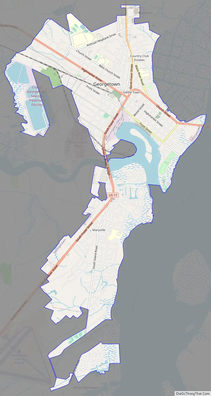
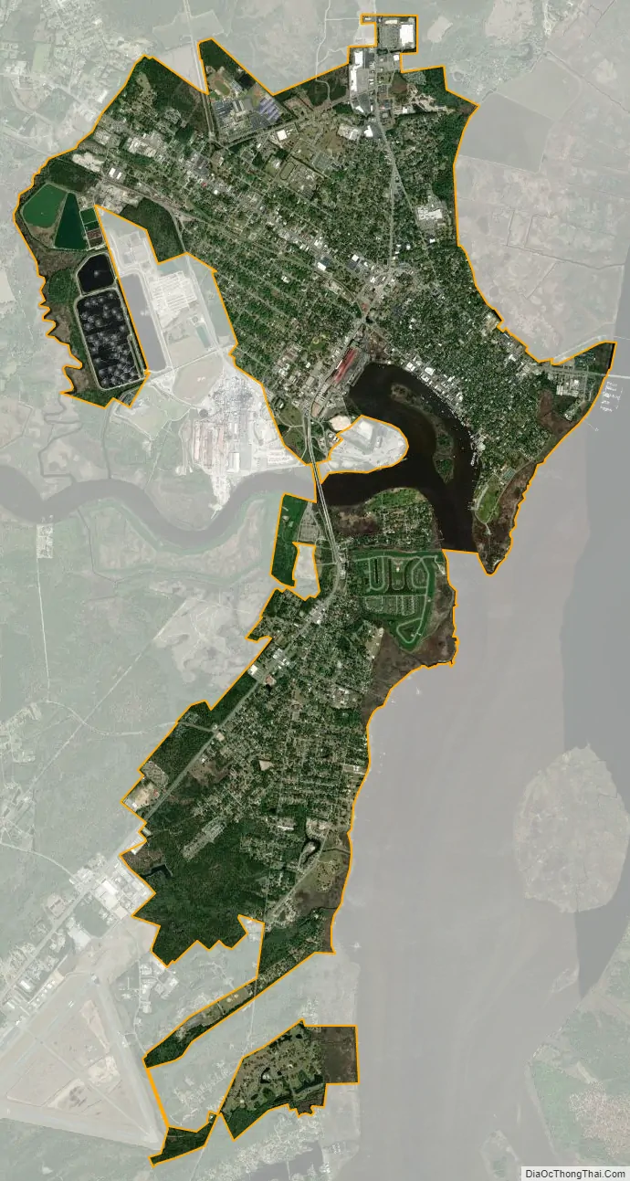
Georgetown city Satellite Map
Geography
Georgetown is located at 33°22′3″N 79°17′38″W / 33.36750°N 79.29389°W / 33.36750; -79.29389 (33.367434, −79.293807).
According to the United States Census Bureau, the city has a total area of 7.5 square miles (19.5 km), of which 6.9 square miles (17.9 km) are land and 0.62 square miles (1.6 km), or 8.06%, is water.
Winyah Bay formed from a submergent or drowned coastline. The original rivers had a lower baseline, but either the ocean rose or the land sank, flooding the river valleys and making a good location for a harbor.
U.S. Routes 17, 17A, 521, and 701 meet in the center of Georgetown. US 17 leads southwest 60 miles (97 km) to Charleston and northeast 34 miles (55 km) to Myrtle Beach, US 701 leads north 36 miles (58 km) to Conway, US 521 leads northwest 82 miles (132 km) to Sumter, and US 17A leads west 32 miles (51 km) to Jamestown.
See also
Map of South Carolina State and its subdivision:- Abbeville
- Aiken
- Allendale
- Anderson
- Bamberg
- Barnwell
- Beaufort
- Berkeley
- Calhoun
- Charleston
- Cherokee
- Chester
- Chesterfield
- Clarendon
- Colleton
- Darlington
- Dillon
- Dorchester
- Edgefield
- Fairfield
- Florence
- Georgetown
- Greenville
- Greenwood
- Hampton
- Horry
- Jasper
- Kershaw
- Lancaster
- Laurens
- Lee
- Lexington
- Marion
- Marlboro
- McCormick
- Newberry
- Oconee
- Orangeburg
- Pickens
- Richland
- Saluda
- Spartanburg
- Sumter
- Union
- Williamsburg
- York
- Alabama
- Alaska
- Arizona
- Arkansas
- California
- Colorado
- Connecticut
- Delaware
- District of Columbia
- Florida
- Georgia
- Hawaii
- Idaho
- Illinois
- Indiana
- Iowa
- Kansas
- Kentucky
- Louisiana
- Maine
- Maryland
- Massachusetts
- Michigan
- Minnesota
- Mississippi
- Missouri
- Montana
- Nebraska
- Nevada
- New Hampshire
- New Jersey
- New Mexico
- New York
- North Carolina
- North Dakota
- Ohio
- Oklahoma
- Oregon
- Pennsylvania
- Rhode Island
- South Carolina
- South Dakota
- Tennessee
- Texas
- Utah
- Vermont
- Virginia
- Washington
- West Virginia
- Wisconsin
- Wyoming