Gilpin County is a county located in the U.S. state of Colorado, smallest in land area behind only the City and County of Broomfield. As of the 2020 census, the population was 5,808. The county seat is Central City. The county was formed in 1861, while Colorado was still a territory, and was named after Colonel William Gilpin, the first territorial governor.
Gilpin County is part of the Denver-Aurora-Lakewood, CO Metropolitan Statistical Area.
| Name: | Gilpin County |
|---|---|
| FIPS code: | 08-047 |
| State: | Colorado |
| Founded: | November 1, 1861 |
| Named for: | William Gilpin |
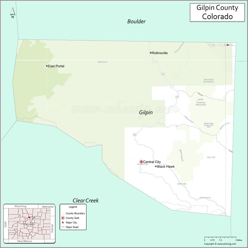
| Seat: | Central City |
| Largest city: | Central City |
| Total Area: | 150 sq mi (400 km²) |
| Land Area: | 150 sq mi (400 km²) |
| Total Population: | 5,873 |
| Population Density: | 39/sq mi (15/km²) |
| Time zone: | UTC−7 (Mountain) |
| Summer Time Zone (DST): | UTC−6 (MDT) |
| Website: | www.co.gilpin.co.us |
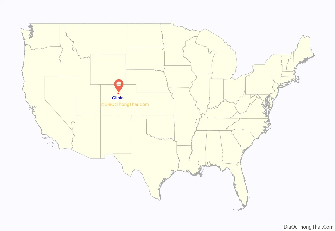
Gilpin County location map. Where is Gilpin County?
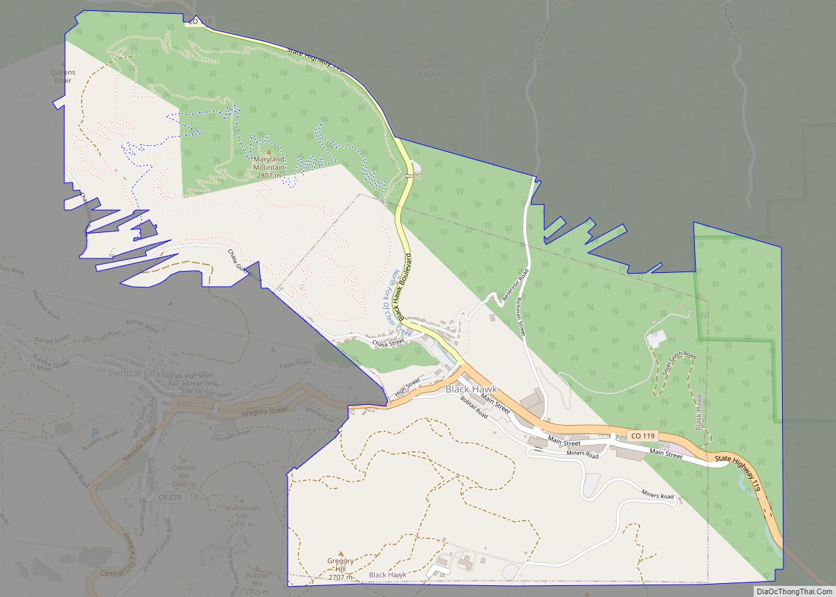
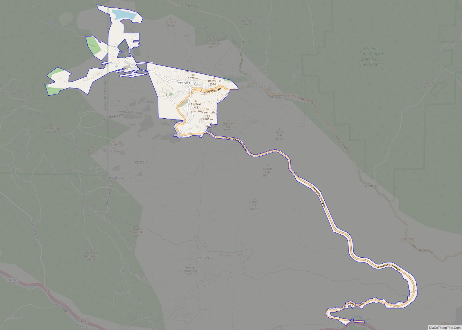
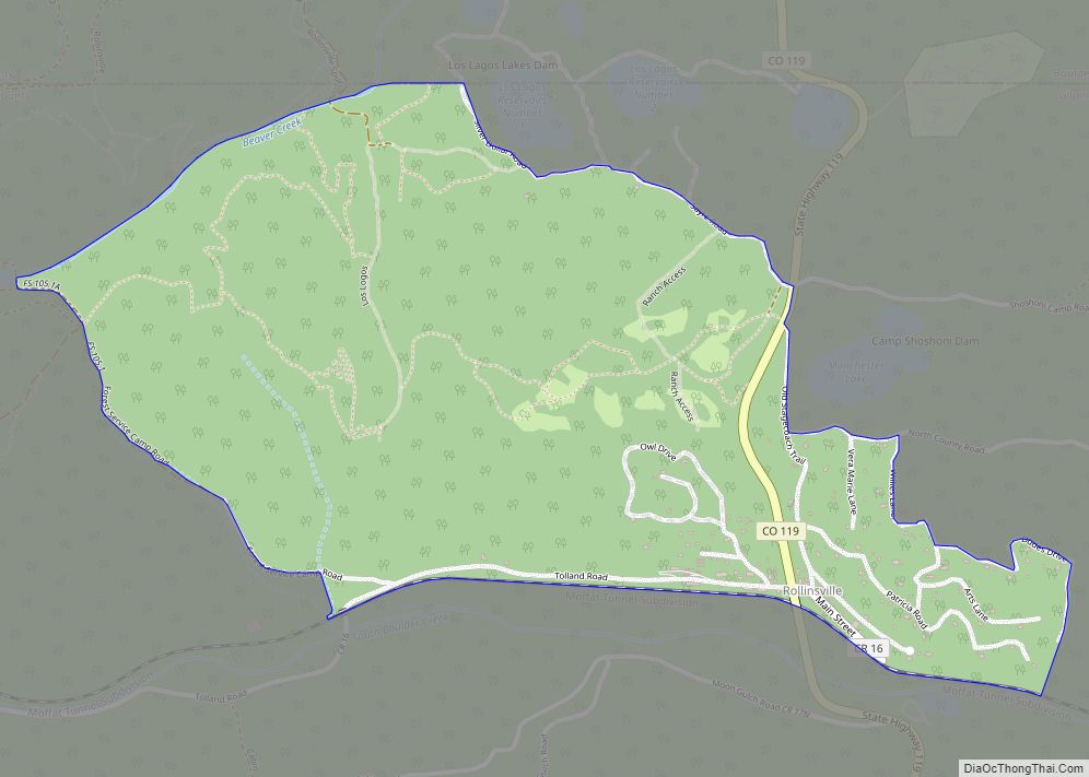
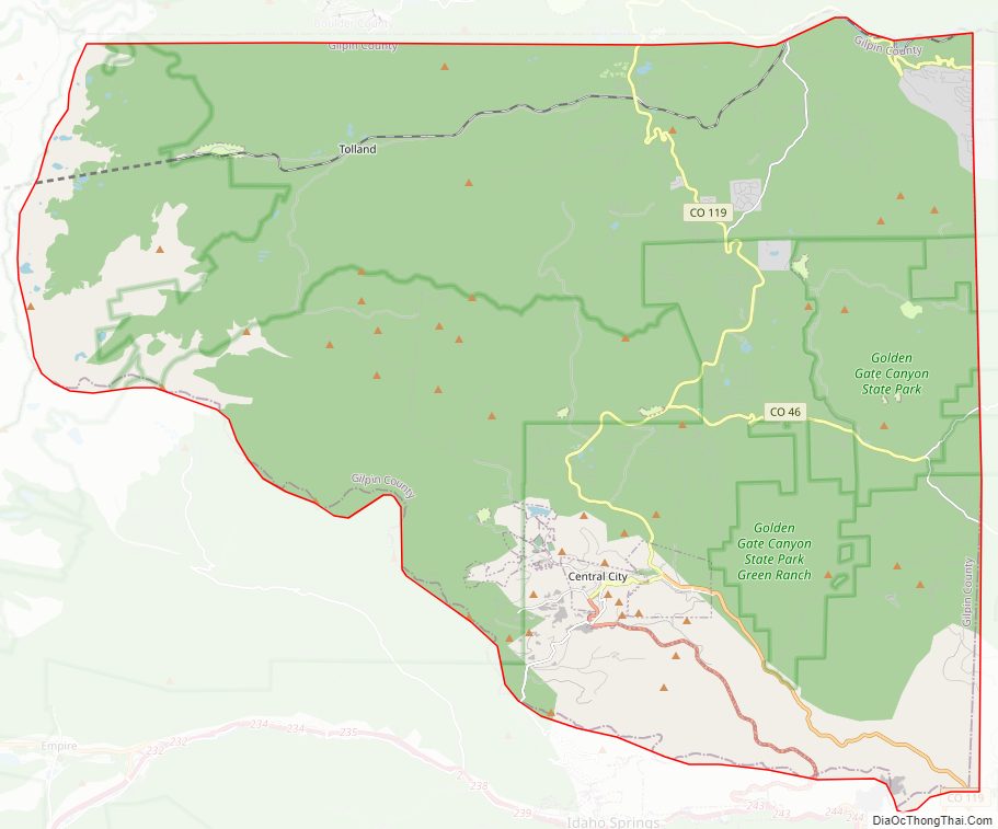
Gilpin County Road Map
Geography
According to the U.S. Census Bureau, the county has a total area of 150 square miles (390 km), of which 150 square miles (390 km) is land and 0.4 square miles (1.0 km) (0.2%) is water. It is the second-smallest county by area in Colorado.
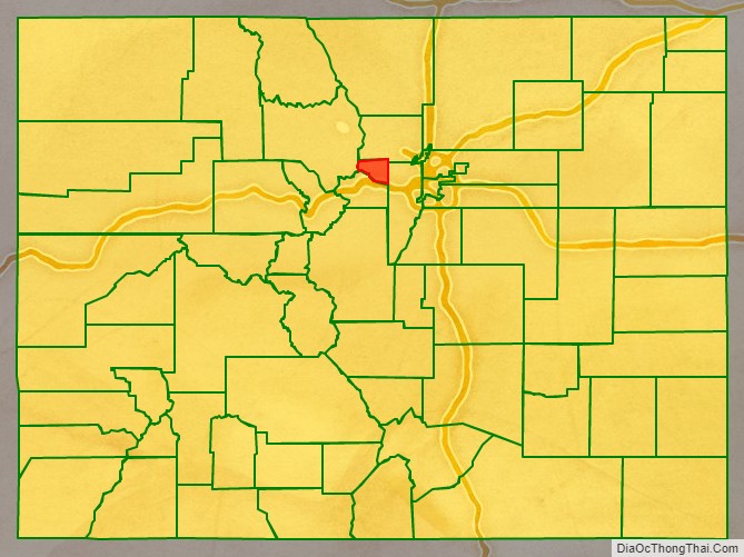
Adjacent counties
- Boulder – north
- Jefferson – east
- Clear Creek – south
- Grand – west
Major Highways
- State Highway 46
- State Highway 72
- State Highway 119
- Central City Parkway
National protected areas
- Arapaho National Forest
- James Peak Wilderness
- Roosevelt National Forest
State protected area
- Golden Gate Canyon State Park
Scenic trail and byway
- Continental Divide National Scenic Trail
- Peak to Peak Scenic and Historic Byway
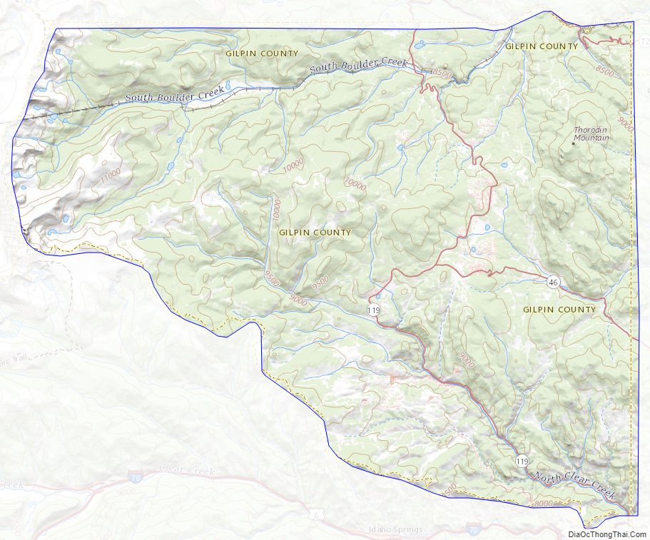
Gilpin County Topographic Map
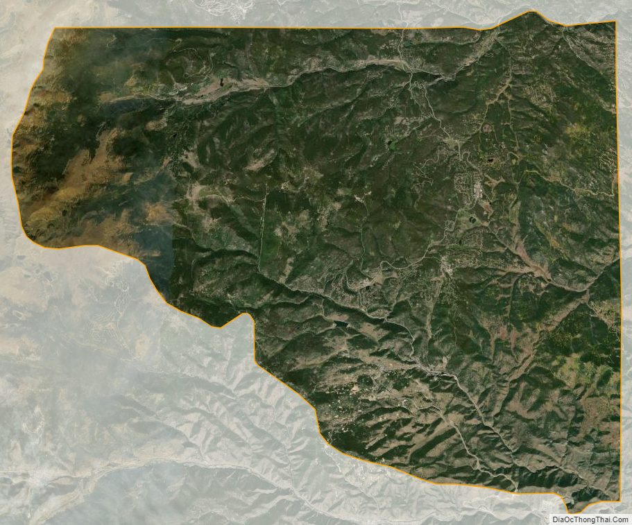
Gilpin County Satellite Map
Gilpin County Outline Map