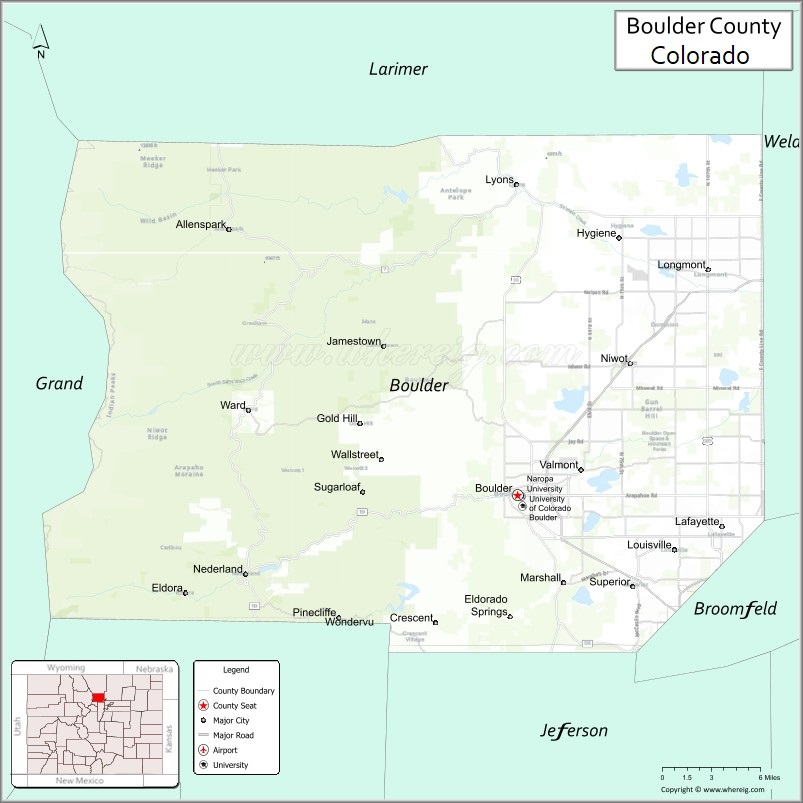
Boulder County is a county located in the U.S. state of Colorado of the United States. As of the 2020 census, the population was 330,758. The most populous municipality in the county and the county seat is Boulder.
Boulder County comprises the Boulder, Colorado Metropolitan Statistical Area, which is included in the Denver–Aurora, Colorado Combined Statistical Area.
| Name: | Boulder County |
|---|---|
| FIPS code: | 08-013 |
| State: | Colorado |
| Founded: | November 1, 1861 |
| Named for: | large granite boulders in area |
| Seat: | Boulder |
| Largest city: | Boulder |
| Total Area: | 740 sq mi (1,900 km²) |
| Land Area: | 726 sq mi (1,880 km²) |
| Total Population: | 329,543 |
| Population Density: | 460/sq mi (176/km²) |
| Time zone: | UTC−7 (Mountain) |
| Summer Time Zone (DST): | UTC−6 (MDT) |
| Website: | www.bouldercounty.org |
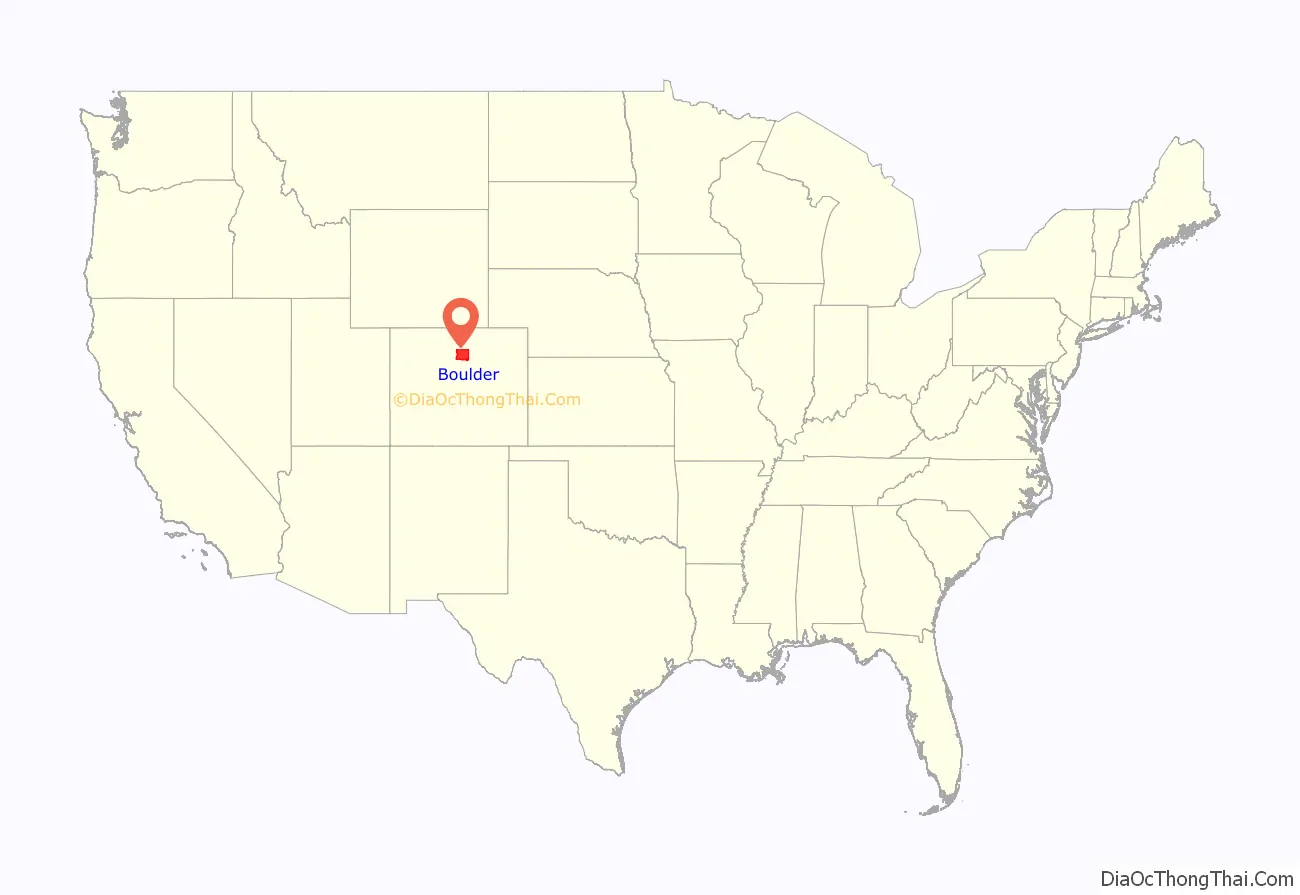
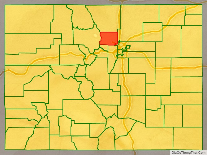
Boulder County location map. Where is Boulder County?
History
Boulder County was one of the original 17 counties created by the Territory of Colorado on November 1, 1861. The county was named for Boulder City and Boulder Creek, so named because of the abundance of boulders in the creek which hampered early gold prospecting efforts. Boulder County retains essentially the same borders as in 1861, although a 27.5 square miles (71.2 km) of its southeastern corner and its approximate population of 40,000 became part of the City and County of Broomfield in 2001.
Before the arrival of the first US settlers, the area was occupied by Native Americans led by Chief Niwot on the plains and seasonally by Utes in the mountains to the west. The first European American settlers were gold prospectors led by Captain Thomas Aikins. His group of about twenty settled at the mouth of Boulder Creek Canyon on October 17, 1858. Chief Niwot told them not to stay and it is said they promised to move into the mountains to prospect in the spring. However in February 1859, they founded the town of Boulder. At about the same time, they also founded the first Gold Mining town in what would become Colorado, Gold Hill which is about 10 miles west from Boulder. Gold Hill was founded because of the placer gold discovered there. The area was the site of the first commercial scale placer mine in Colorado, producing over 5,500 ounces of gold in the first year of operations (1859).
Boulder County Road Map
Geography
According to the U.S. Census Bureau, the county has a total area of 740 square miles (1,900 km), of which 726 square miles (1,880 km) is land and 14 square miles (36 km) (1.9%) is water.
Adjacent counties
- Larimer County, Colorado – north
- Weld County, Colorado – east
- City and County of Broomfield, Colorado – southeast
- Jefferson County, Colorado – south
- Gilpin County, Colorado – south
- Grand County, Colorado – west
Major Highways
- U.S. Highway 36 (Denver-Boulder Turnpike)
- U.S. Highway 287
- State Highway 7
- State Highway 42
- State Highway 52
- State Highway 66
- State Highway 72
- State Highway 93
- State Highway 119
- State Highway 170
- Northwest Parkway (tollway)
National protected areas
- Arapaho National Forest
- Roosevelt National Forest
- Indian Peaks Wilderness
- James Peak Wilderness
Rocky Mountain National Park is in Boulder County, Larimer County, and Grand County. Longs Peak, the park’s highest summit at 4,345 meters (14,255 feet) elevation, is located in Boulder County.
State protected area
- Eldorado Canyon State Park
Scenic trails and byways
- Continental Divide National Scenic Trail
- Peak to Peak Scenic and Historic Byway
Historic district
- Colorado Chautauqua National Historic District
Boulder County Topographic Map
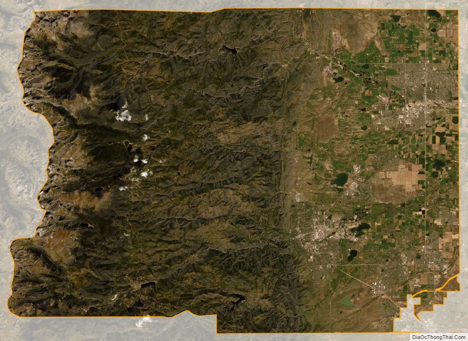
Boulder County Satellite Map
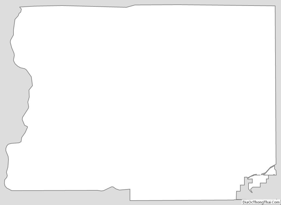
Boulder County Outline Map