The historic City of Central, commonly known as Central City, is a home rule municipality located in Gilpin and Clear Creek counties, Colorado, United States. Central City is the county seat and the most populous municipality of Gilpin County. The city population was 779, all in Gilpin County, at the 2020 United States census. The city is a historic mining settlement founded in 1859 during the Pike’s Peak Gold Rush and came to be known as the “Richest Square Mile on Earth”. Central City and the adjacent city of Black Hawk form the federally designated Central City/Black Hawk Historic District. The city is now a part of the Denver–Aurora–Lakewood, CO Metropolitan Statistical Area and the Front Range Urban Corridor.
| Name: | Central City city |
|---|---|
| LSAD Code: | 25 |
| LSAD Description: | city (suffix) |
| State: | Colorado |
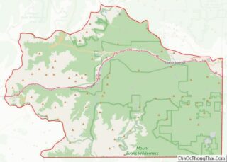
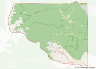
| County: | Clear Creek County, Gilpin County |
| Incorporated: | June 12, 1886 |
| Elevation: | 8,498 ft (2,590 m) |
| Total Area: | 2.1599 sq mi (5.5940 km²) |
| Land Area: | 2.1597 sq mi (5.5937 km²) |
| Water Area: | 0.0001 sq mi (0.0003 km²) |
| Total Population: | 779 |
| Population Density: | 361/sq mi (139/km²) |
| ZIP code: | 80427 (PO Box) |
| Area code: | Both 303 and 720 |
| FIPS code: | 0812910 |
| Website: | www.centralcitycolorado.us |
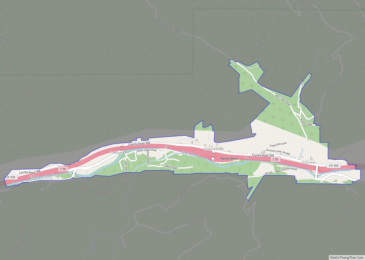
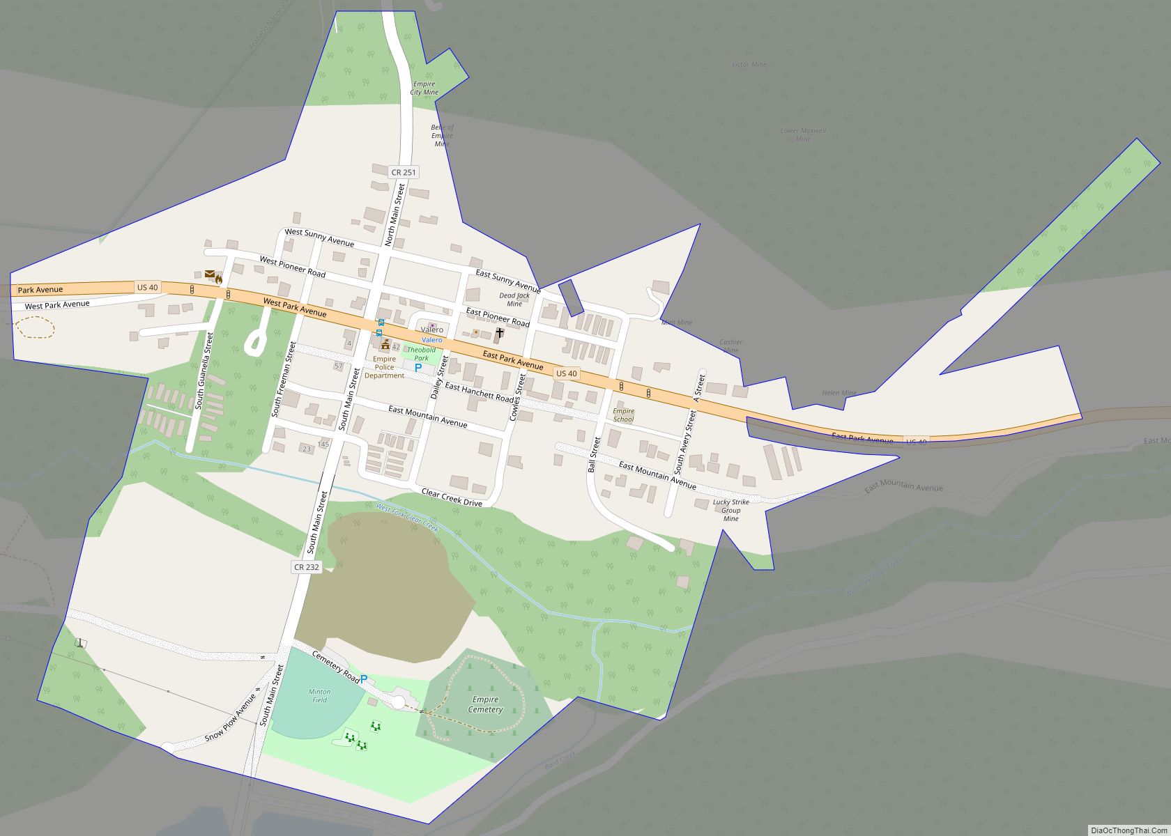
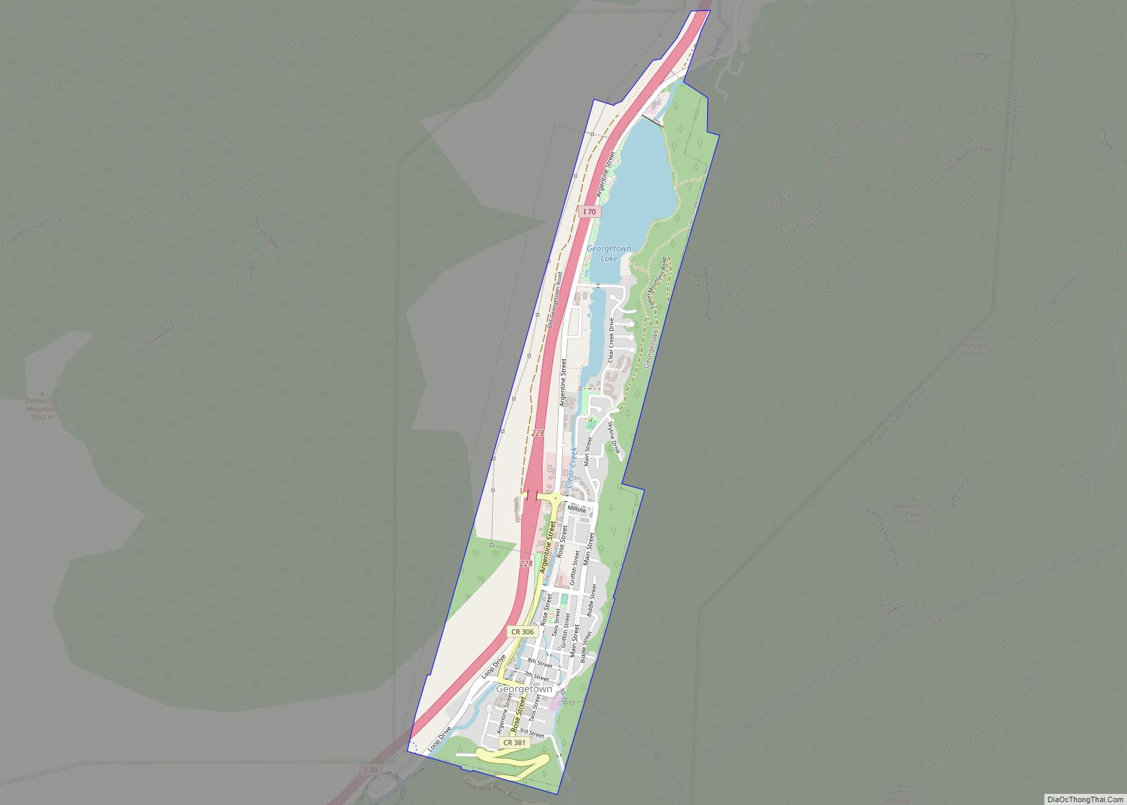
Online Interactive Map
Click on ![]() to view map in "full screen" mode.
to view map in "full screen" mode.
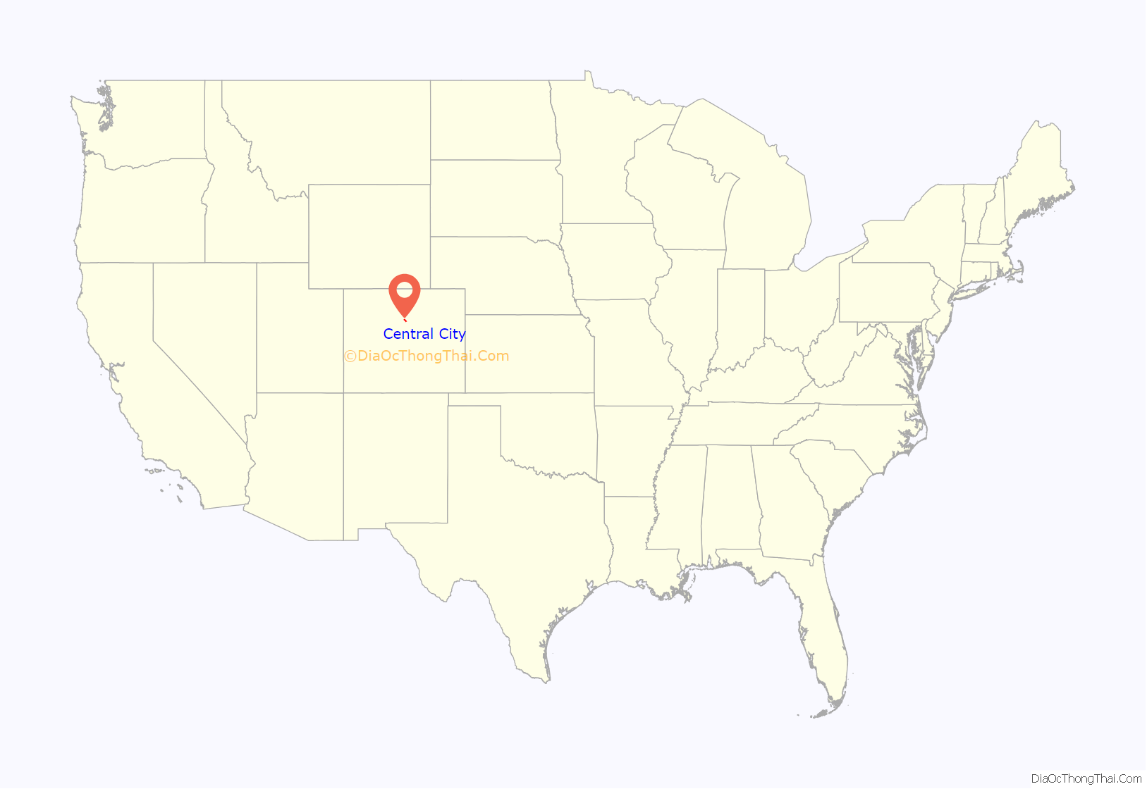
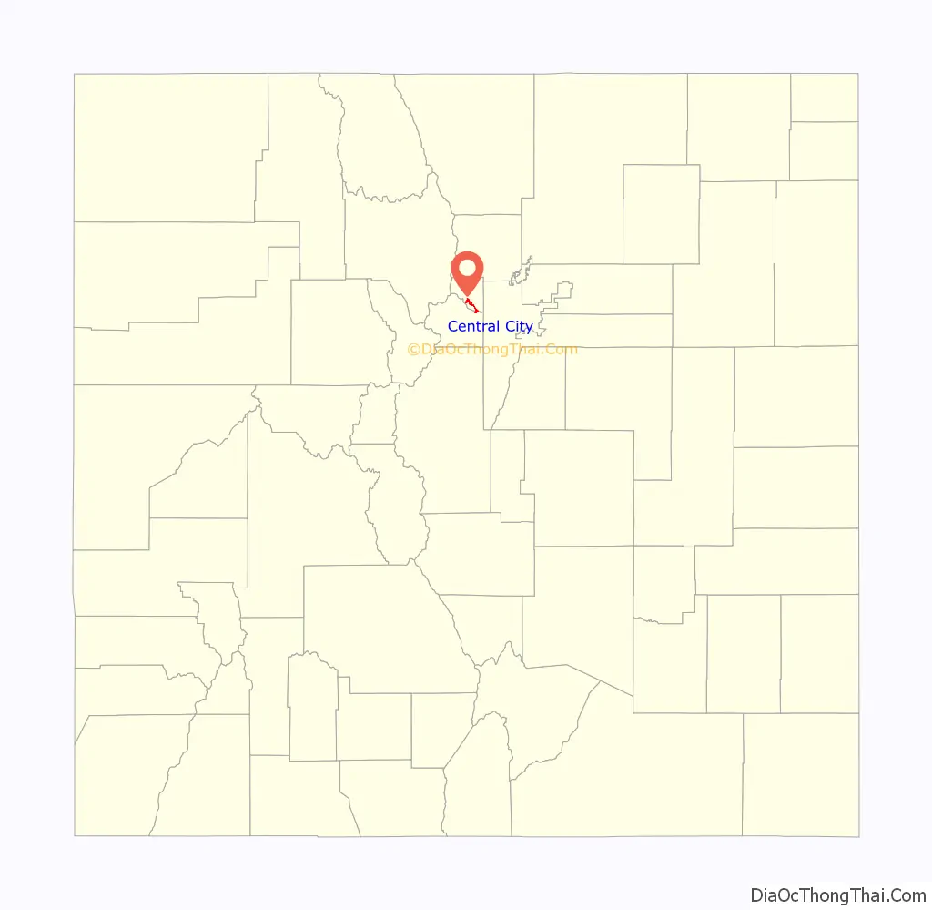
Central City location map. Where is Central City city?
History
On May 6, 1859, during the Pike’s Peak Gold Rush, John H. Gregory found a gold-bearing vein (the Gregory Lode) in Gregory Gulch between Black Hawk and Central City. Within two months many other veins were discovered, including the Bates, Gunnell, Kansas, and Burroughs. By 1860, as many as 10,000 prospectors had flocked to the town, then known as Mountain City, and surrounding prospects, but most soon left, many returning east. The 1900 census showed 3,114 people.
The year 1863 brought the first attempt by hard rock miners to form a hard rock miners’ union. Of 125 miners signing a union resolution in Central City, about fifty broke windows and doors at the Bob Tail mine, forcing other workers out. After a night of shooting and fighting, the union effort among Central City miners failed.
Many Chinese immigrants lived in Central City during the early days working the placer deposits of Gregory Gulch. They were forbidden to work in the underground mines. Most of them are believed to have returned to China after making their stake.
The frontier gambler Poker Alice lived for a time in Central City and several other Colorado mining communities.
Gold mining in the Central City district decreased rapidly between 1900 and 1920, as the veins were exhausted. Mining revived in the early 1930s in response to the increase in the price of gold from $20 to $35 per ounce, but then virtually shut down during World War II when gold mining was declared nonessential to the war effort. The district was enlivened in the 1950s by efforts to locate uranium deposits, but these proved unsuccessful.
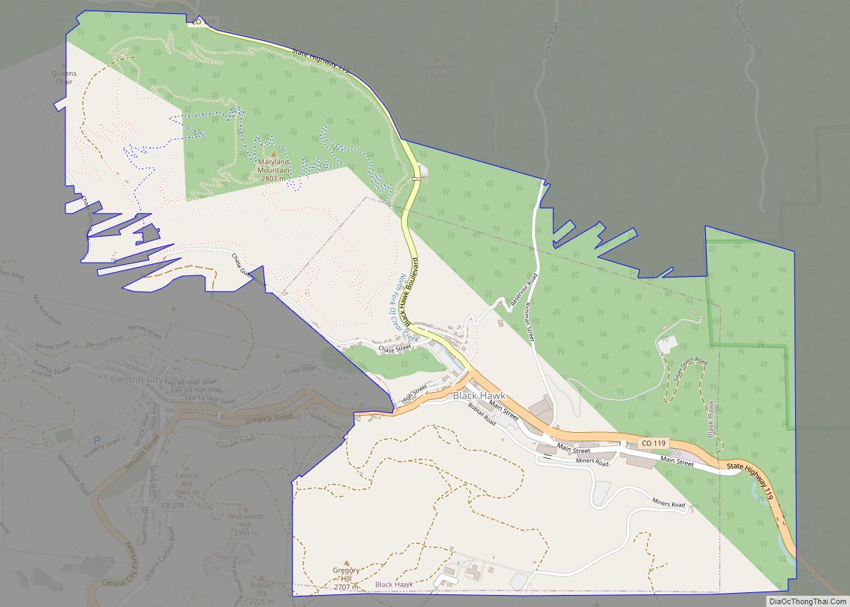
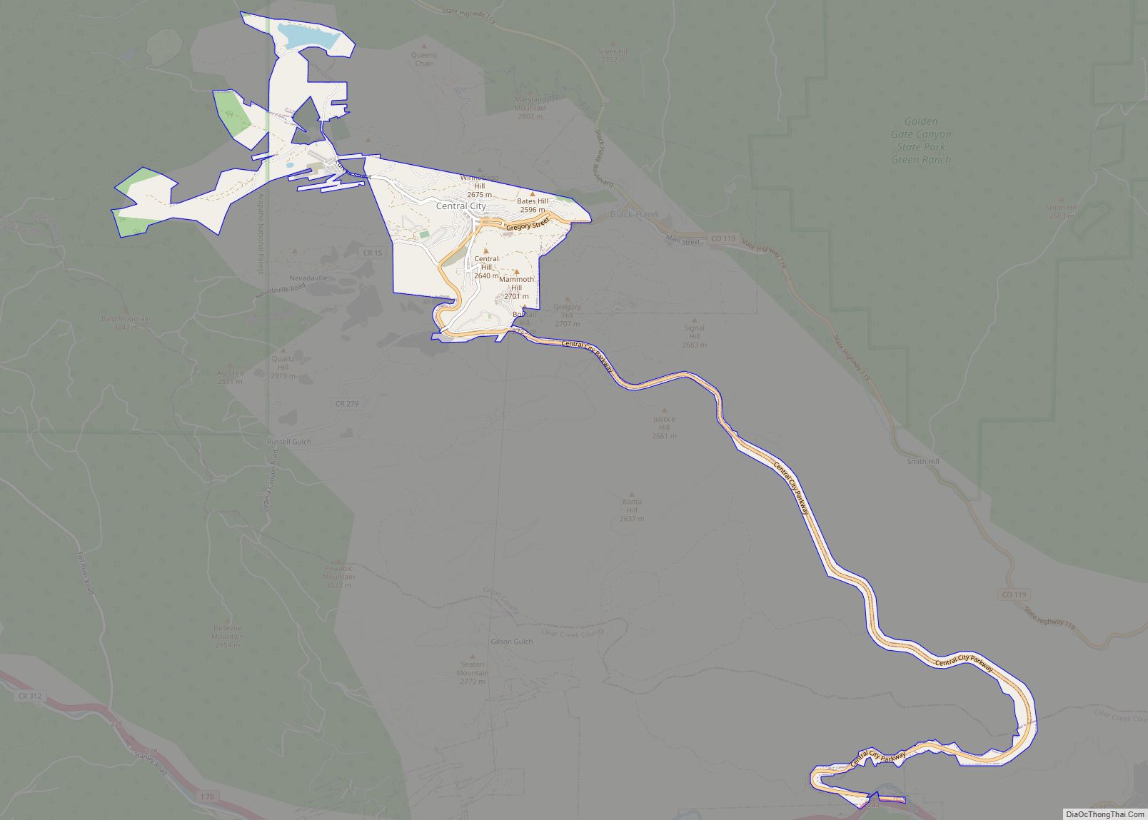
The population of Central City and its sister city Black Hawk fell to a few hundred by the 1950s. Casino gambling was introduced in both towns in the early 1990s, but had more success in Black Hawk (which has 18 casinos) than in Central City (which has 6 casinos), partly because the main road to Central City passed through Black Hawk, tempting gamblers to stop in Black Hawk instead. In an effort to compete, Central City completed a four-lane, 8.4-mile (13.5 km) parkway from Interstate 70 to Central City, without going through Black Hawk. The highway was completed in 2004, but Black Hawk, which prior to the introduction of gambling was much smaller than Central City, continues to generate more than seven times the gambling revenue that Central City does. To compete, Central City has recently eliminated height restrictions for building on undeveloped land. Buildings were previously limited to heights of 53 feet (16 m), so as not to overshadow the town’s historic buildings.
Tax from the gambling revenue provides funding for the State Historical Fund, administered by the Colorado Office of Archaeology and Historic Preservation.
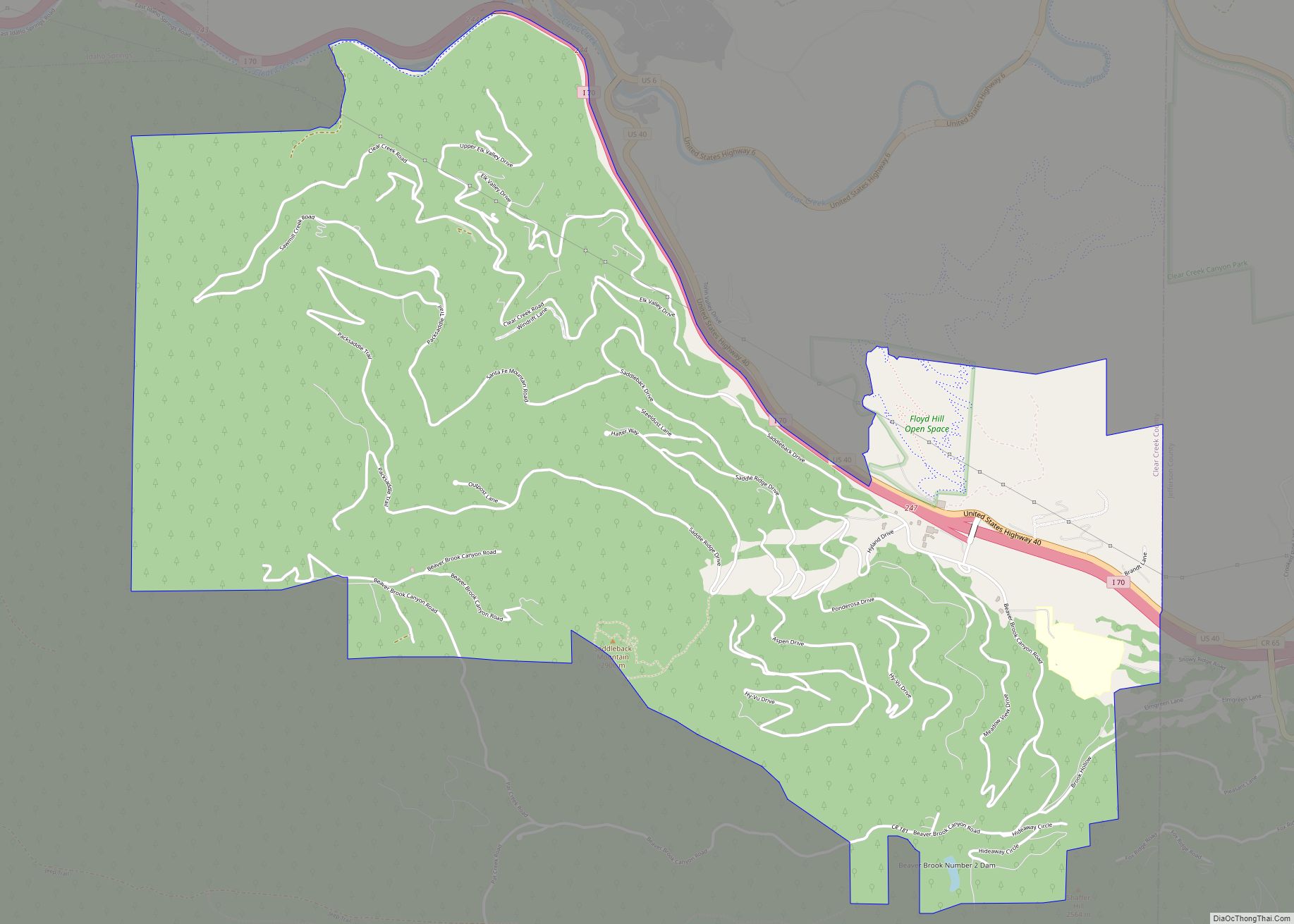
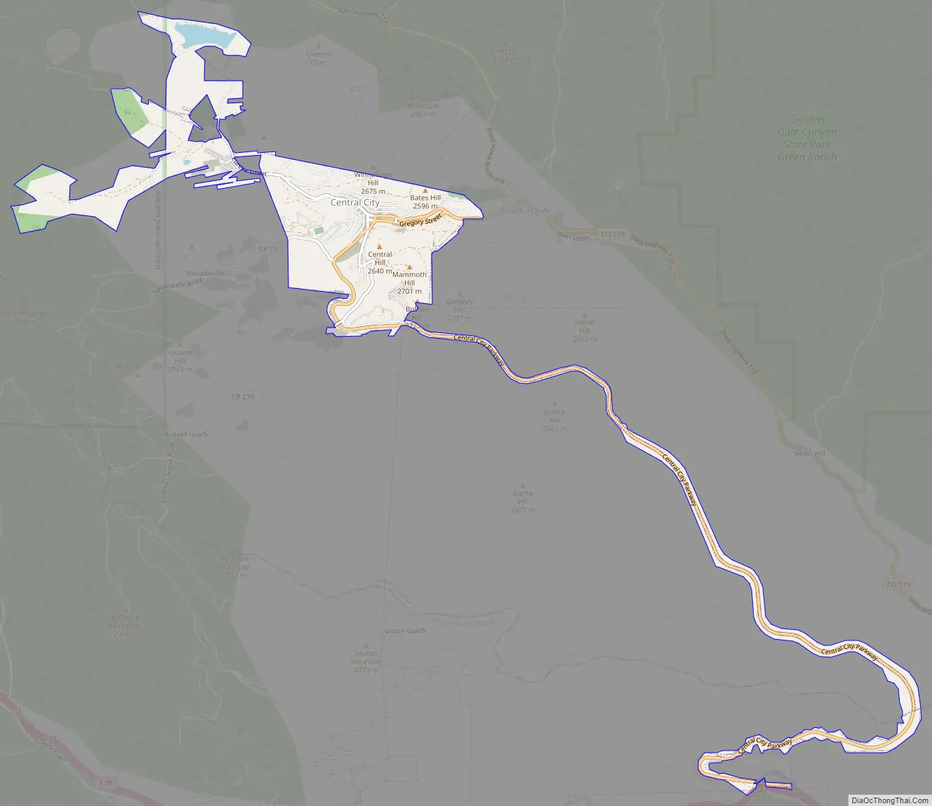
Central City Road Map
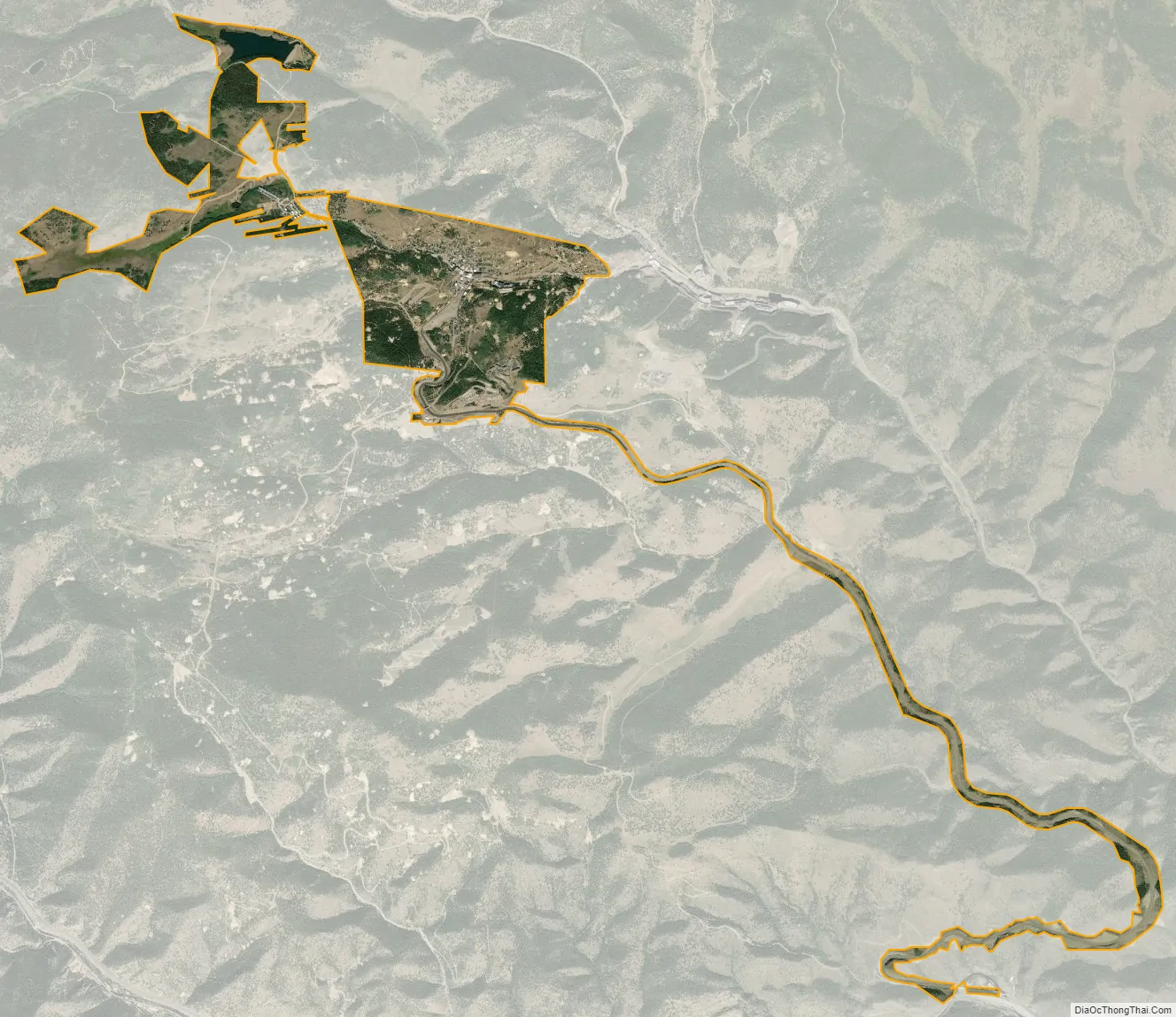
Central City city Satellite Map
Geography
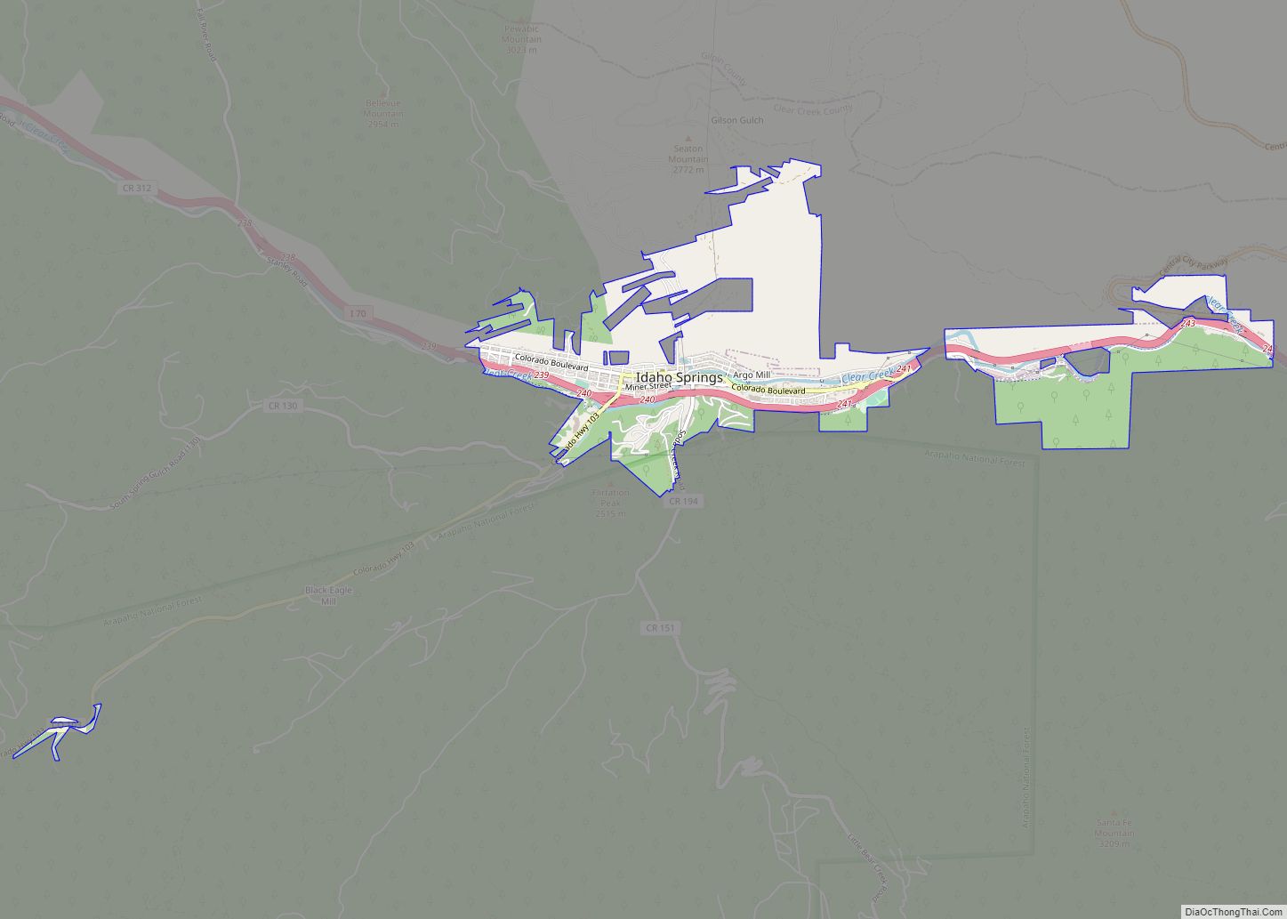
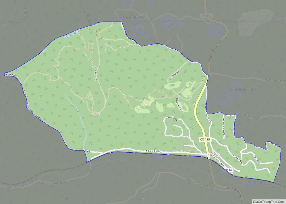
Central City is located in southern Gilpin County. The city limits extend south along the Central City Parkway into Clear Creek County, as far as Interstate 70. The city is bordered by Black Hawk to the east and Idaho Springs to the south.
At the 2020 United States census, the city had a total area of 1,382 acres (5.5940 km) including 0.07 acres (0.0003 km) of water.
See also
Map of Colorado State and its subdivision:- Adams
- Alamosa
- Arapahoe
- Archuleta
- Baca
- Bent
- Boulder
- Broomfield
- Chaffee
- Cheyenne
- Clear Creek
- Conejos
- Costilla
- Crowley
- Custer
- Delta
- Denver
- Dolores
- Douglas
- Eagle
- El Paso
- Elbert
- Fremont
- Garfield
- Gilpin
- Grand
- Gunnison
- Hinsdale
- Huerfano
- Jackson
- Jefferson
- Kiowa
- Kit Carson
- La Plata
- Lake
- Larimer
- Las Animas
- Lincoln
- Logan
- Mesa
- Mineral
- Moffat
- Montezuma
- Montrose
- Morgan
- Otero
- Ouray
- Park
- Phillips
- Pitkin
- Prowers
- Pueblo
- Rio Blanco
- Rio Grande
- Routt
- Saguache
- San Juan
- San Miguel
- Sedgwick
- Summit
- Teller
- Washington
- Weld
- Yuma
- Alabama
- Alaska
- Arizona
- Arkansas
- California
- Colorado
- Connecticut
- Delaware
- District of Columbia
- Florida
- Georgia
- Hawaii
- Idaho
- Illinois
- Indiana
- Iowa
- Kansas
- Kentucky
- Louisiana
- Maine
- Maryland
- Massachusetts
- Michigan
- Minnesota
- Mississippi
- Missouri
- Montana
- Nebraska
- Nevada
- New Hampshire
- New Jersey
- New Mexico
- New York
- North Carolina
- North Dakota
- Ohio
- Oklahoma
- Oregon
- Pennsylvania
- Rhode Island
- South Carolina
- South Dakota
- Tennessee
- Texas
- Utah
- Vermont
- Virginia
- Washington
- West Virginia
- Wisconsin
- Wyoming