Saint Paul (abbreviated St. Paul) is the capital of the U.S. state of Minnesota and the county seat of Ramsey County. Situated on high bluffs overlooking a bend in the Mississippi River, Saint Paul is a regional business hub and the center of Minnesota’s government. The Minnesota State Capitol and the state government offices all sit on a hill close to the city’s downtown district. One of the oldest cities in Minnesota, Saint Paul has several historic neighborhoods and landmarks, such as the Summit Avenue Neighborhood, the James J. Hill House, and the Cathedral of Saint Paul. Like the adjacent city of Minneapolis, Saint Paul is known for its cold, snowy winters and humid summers.
According to census estimates, in 2021 the city’s population was 307,193, making it the 67th-largest city in the United States, the 12th-most populous in the Midwest, and the second-most populous in Minnesota. Most of the city lies east of the Mississippi River near its confluence with the Minnesota River. Minneapolis is mostly across the Mississippi River to the west. Together, they are known as the “Twin Cities” and make up the core of Minneapolis–Saint Paul metropolitan area, the third most populous metro in the Midwest.
The Legislative Assembly of the Minnesota Territory established the Town of St. Paul as its capital near existing Dakota Sioux settlements in November 1849. It remained a town until 1854. The Dakota name for where Saint Paul is situated is “Imnizaska” for the “white rock” bluffs along the river. The city has two sports venues: Xcel Energy Center, home to the Minnesota Wild, and Allianz Field, home to Minnesota United.
Saint Paul has a mayor–council government. The current mayor is Melvin Carter III, who was first elected in 2018.
| Name: | St. Paul city |
|---|---|
| LSAD Code: | 25 |
| LSAD Description: | city (suffix) |
| State: | Minnesota |
| County: | Ramsey County |
| Incorporated: | March 4, 1854 |
| Elevation: | 787 ft (240 m) |
| Land Area: | 51.97 sq mi (134.61 km²) |
| Water Area: | 4.13 sq mi (10.70 km²) |
| Population Density: | 5,994.02/sq mi (2,314.32/km²) |
| Area code: | 651 |
| FIPS code: | 2758000 |
| Website: | stpaul.gov |
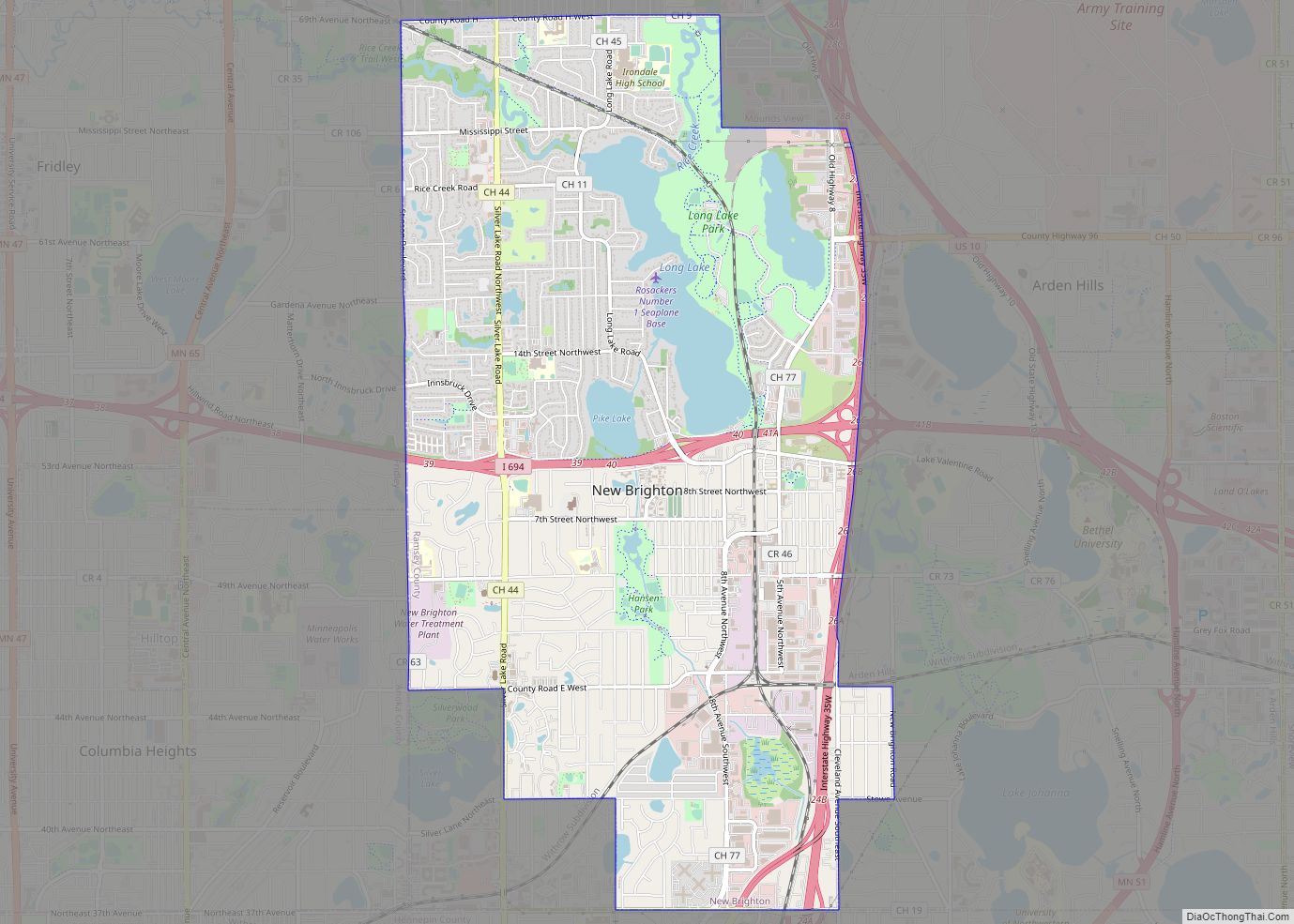
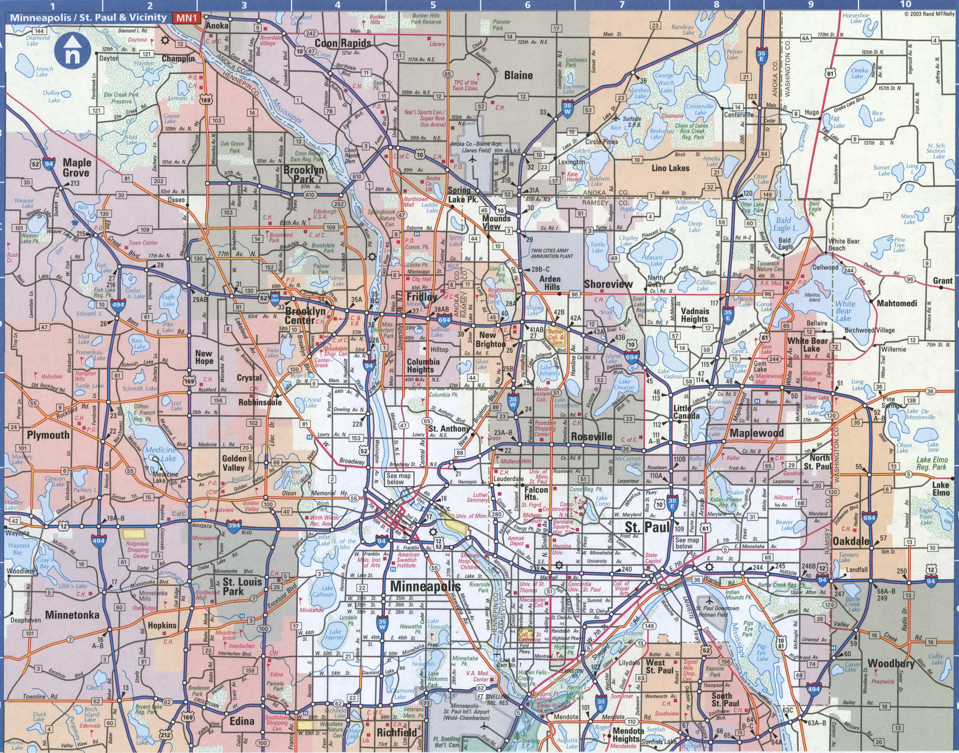
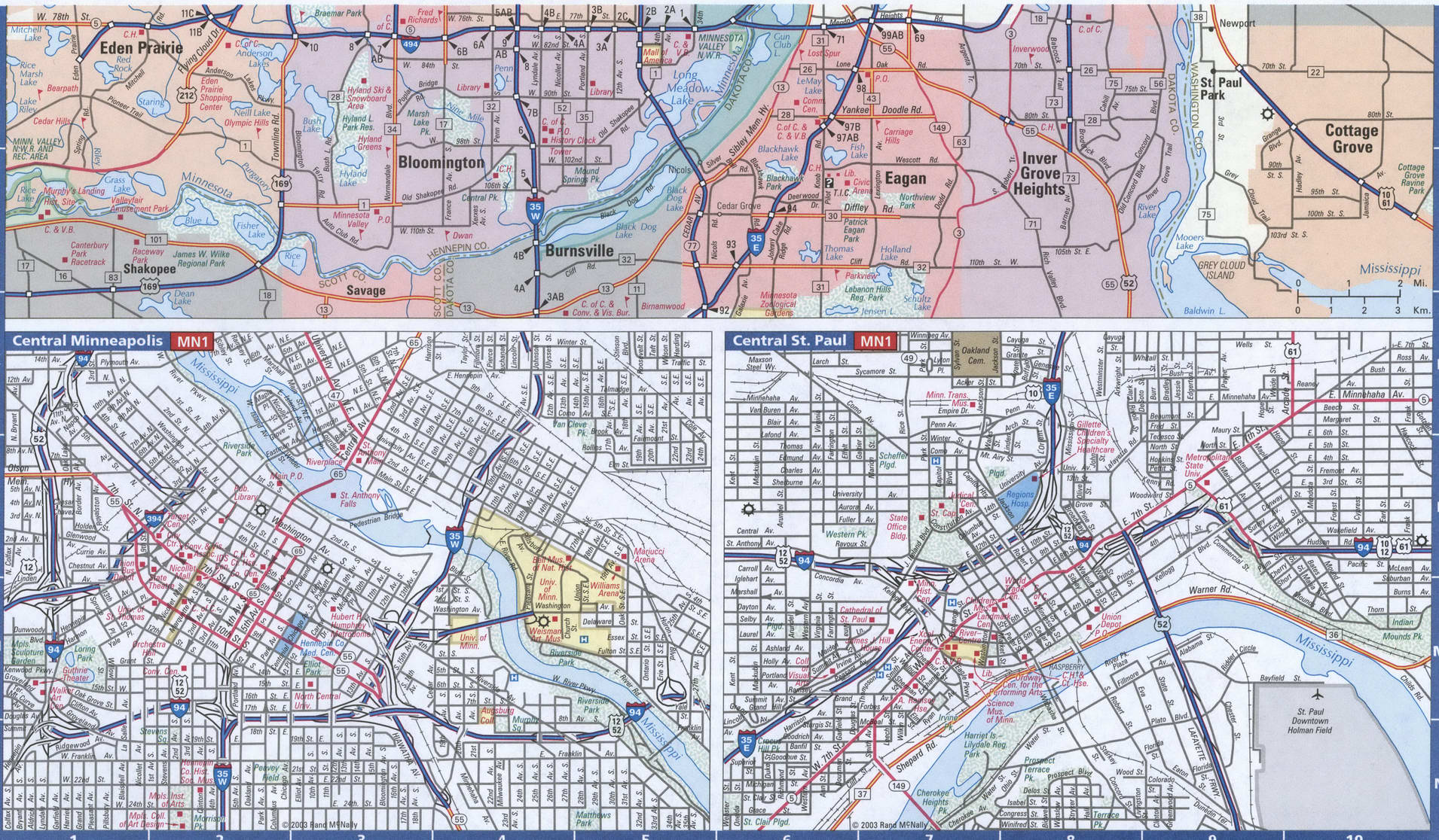
Finding your way around St Paul can be a bit tricky. That’s why we have compiled a list of maps of St. Paul Minnesota for you to download. Whether you’re looking for a road map or an interactive map, we have you covered.
We also have a list of things to do in St. Paul Minnesota. From the bustling nightlife to the great outdoor activities, St Paul has plenty to offer.
If you need a map of St. Paul Minnesota, you can find one in our collection. We have road maps, interactive maps, and a list of things to do in St Paul. Whether you’re looking to explore the city or just find your way around, our maps will help you get the most out of your visit.
Online Interactive Map
Click on ![]() to view map in "full screen" mode.
to view map in "full screen" mode.
In the Twin Cities, there are so many things to see and do! From the hustle and bustle of downtown to the preserved beauty of rural villages, it has something for everyone. One of the main features is how the Mississippi River cuts through the city. No other city has more shoreline of this river than St Paul, Minnesota.
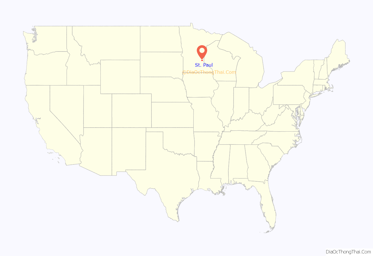
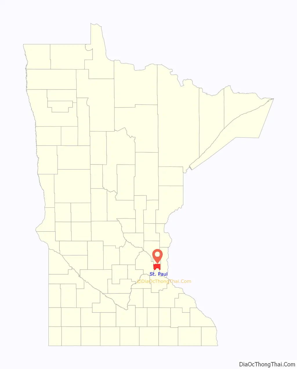
St. Paul location map. Where is St. Paul city?
History
Burial mounds in present-day Indian Mounds Park suggest the area was inhabited by the Hopewell Native Americans about 2,000 years ago. From the early 17th century to 1837, the Mdewakanton Dakota, a tribe of the Sioux, lived near the mounds after being displaced from their ancestral grounds by Mille Lacs Lake from advancing Ojibwe. The Dakota called the area Imniza-Ska (“white cliffs”) for its exposed white sandstone cliffs on the river’s eastern side. The Imniza-Ska were full of caves that were useful to the Dakota. The explorer Jonathan Carver documented the historic Wakan tipi in the bluff below the burial mounds in 1767. In the Menominee language St. Paul was called Sāēnepān-Menīkān, which means “ribbon, silk or satin village”, suggesting its role in trade throughout the region after the introduction of European goods.
After the 1803 Louisiana Purchase, U.S Army Lieutenant Zebulon Pike negotiated approximately 100,000 acres (40,000 ha; 160 sq mi) of land from the indigenous Dakota in 1805 to establish a fort. A military reservation was intended for the confluence of the Mississippi and Minnesota rivers on both sides of the Mississippi up to Saint Anthony Falls. All of what is now the Highland park neighborhood was included in this. Pike planned a second military reservation at the confluence of the St. Croix and Mississippi rivers. In 1819, Fort Snelling was built at the Minnesota and Mississippi confluence. The 1837 Treaty with the Sioux ceded all tribal lands east of the Mississippi to the U.S. government. Chief Little Crow III moved his village, Kaposia, from south of Mounds Park across the river a few miles onto Dakota land. Fur traders, explorers, and settlers came to the area for the fort’s security. Many were French-Canadians who predated American pioneers by some time. A whiskey trade flourished among the squatters and the fort’s commander evicted them all from the fort’s reservation. Fur trader turned bootlegger “Pig’s Eye” Parrant, who set up business just outside the reservation, particularly irritated the commander. By the early 1840s, a community had developed nearby that locals called Pig’s Eye (French: L’Œil du Cochon) or Pig’s Eye Landing after Parrant’s popular tavern. In 1842, a raiding party of Ojibwe attacked the Kaposia encampment south of St. Paul. A battle ensued where a creek drained into wetlands two miles south of Wakan Tipi. The creek was thereafter called Battle Creek and is today parkland. In the 1840s-70s the Métis brought their oxen and Red River Carts down Kellogg Street to Lambert’s landing to send buffalo hides to market from the Red River of the North. St. Paul was the southern terminus of the Red River Trails. In 1840, Pierre Bottineau became a prominent resident with a claim near the settlement’s center.
In 1841, Catholic missionary Lucien Galtier was sent to minister to the French Canadians at Mendota. He had a chapel he named for St. Paul built on the bluff above the riverboat landing downriver from Fort Snelling. Galtier informed the settlers that they were to adopt the chapel’s name for the settlement and cease the use of “Pig’s Eye”. In 1847, New York educator Harriet Bishop moved to the settlement and opened the city’s first school. The Minnesota Territory was created in 1849 with Saint Paul as the capital. The U.S. Army made the territory’s first improved road, Point Douglas Fort Ripley Military Road, in 1850. It passed through what became St. Paul neighborhoods. In 1857, the territorial legislature voted to move the capital to Saint Peter, but Joe Rolette, a territorial legislator, stole the text of the bill and went into hiding, preventing the move.
The year 1858 saw more than 1,000 steamboats service Saint Paul, making it a gateway for settlers to the Minnesota frontier or Dakota Territory. Geography was a primary reason the city became a transportation hub. The location was the last good point to land riverboats coming upriver due to the river valley’s topography. For a time, Saint Paul was called “The Last City of the East.” Fort Snelling was important to St. Paul from the start. Direct access from St. Paul did not happen until the 7th bridge was built in 1880. Before that, there was a cable ferry crossing dating to at latest the 1840s. Once streetcars appeared, a new bridge to St. Paul was built in 1904. Until the town built its first jail the fort’s brig served St. Paul. Industrialist James J. Hill founded his railroad empire in St. Paul. The Great Northern Railway and the Northern Pacific Railway were both headquartered in St. Paul until they merged with the Burlington Northern. Today they are part of the BNSF Railway.
On August 20, 1904, severe thunderstorms and tornadoes damaged hundreds of downtown buildings, causing $1.78 million ($53.68 million today) in damages and ripping spans from the High Bridge. During the 1960s, in conjunction with urban renewal, Saint Paul razed neighborhoods west of downtown for the creation of the interstate freeway system. From 1959 to 1961, the Rondo neighborhood was demolished for the construction of Interstate 94. The loss of that African American enclave brought attention to racial segregation and unequal housing in northern cities. The annual Rondo Days celebration commemorates the African American community.
Downtown St. Paul had skyscraper-building booms beginning in the 1970s. Because the city center is directly beneath the flight path into the airport across the river there is a height restriction for all construction. The tallest buildings, such as Galtier Plaza (Jackson and Sibley Towers), The Pointe of Saint Paul condominiums, and the city’s tallest building, Wells Fargo Place (formerly Minnesota World Trade Center), were constructed in the late 1980s. In the 1990s and 2000s, the tradition of bringing new immigrant groups to the city continued. As of 2004, nearly 10% of the city’s population were recent Hmong immigrants from Vietnam, Laos, Cambodia, Thailand, and Myanmar. Saint Paul is the location of the Hmong Archives.
St. Paul Road Map
The Twin Cities is a great place to spend an afternoon or an entire week. But how can you best plan your day through the streets of St. Paul? We’ve put together a St. Paul road map of the city that will help you make the most of your stay. It includes interstate routes, highways, and major roads so you’ll never get lost. But if you want to leave the city, then make sure to download a Minnesota road map with highway information.
Interstate Highways: I-94, I-35W, I-394
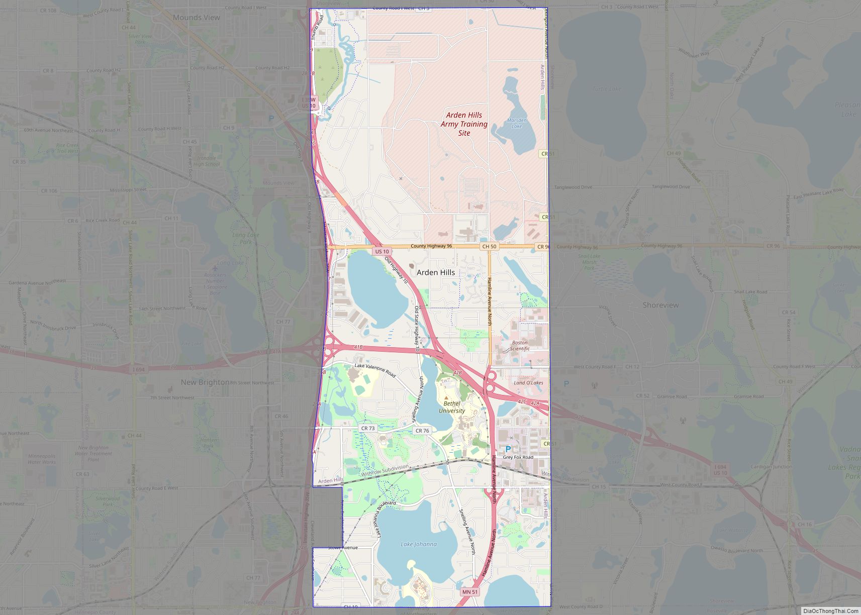
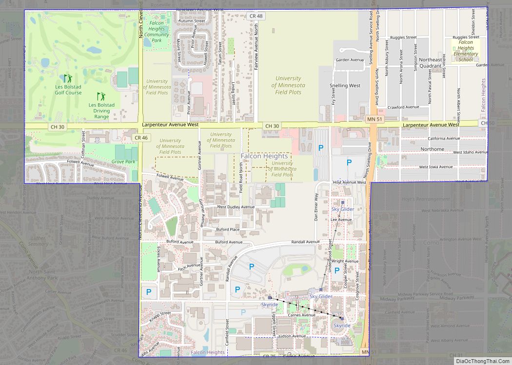
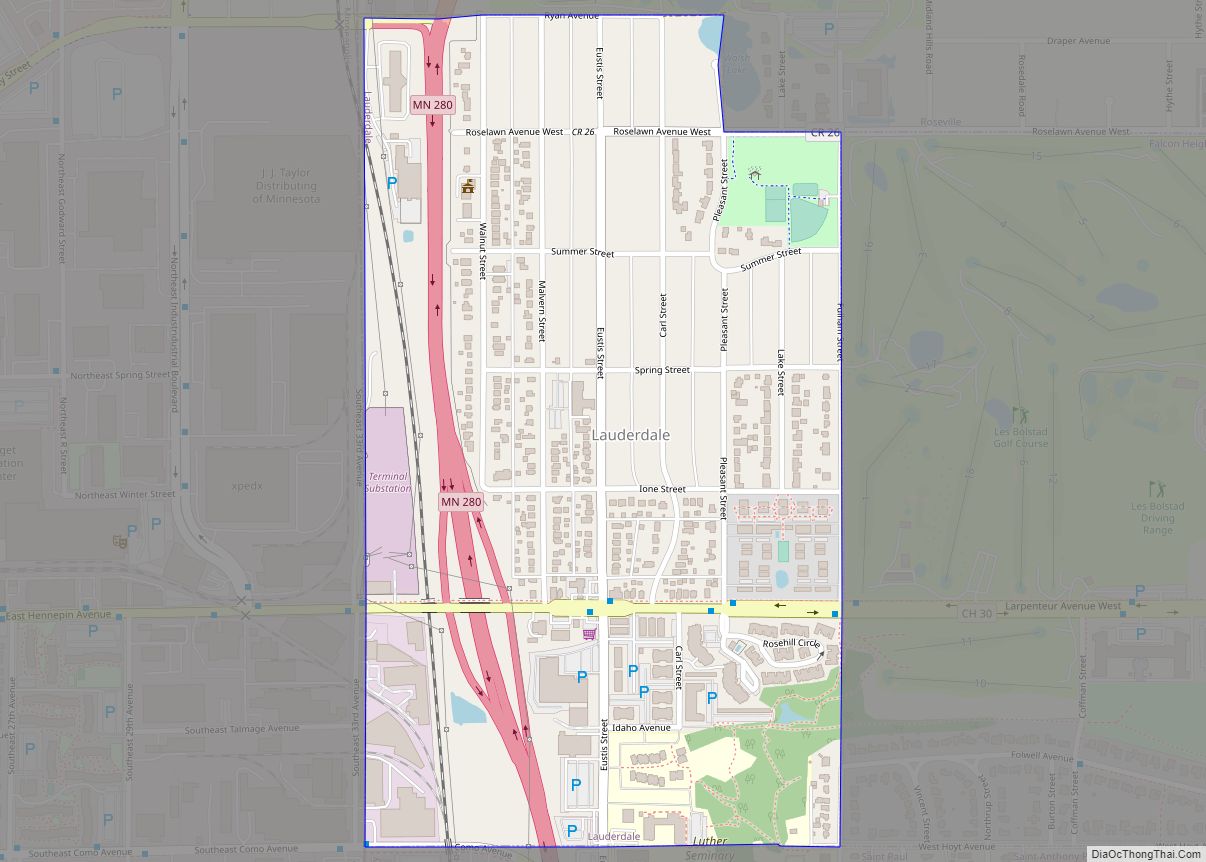
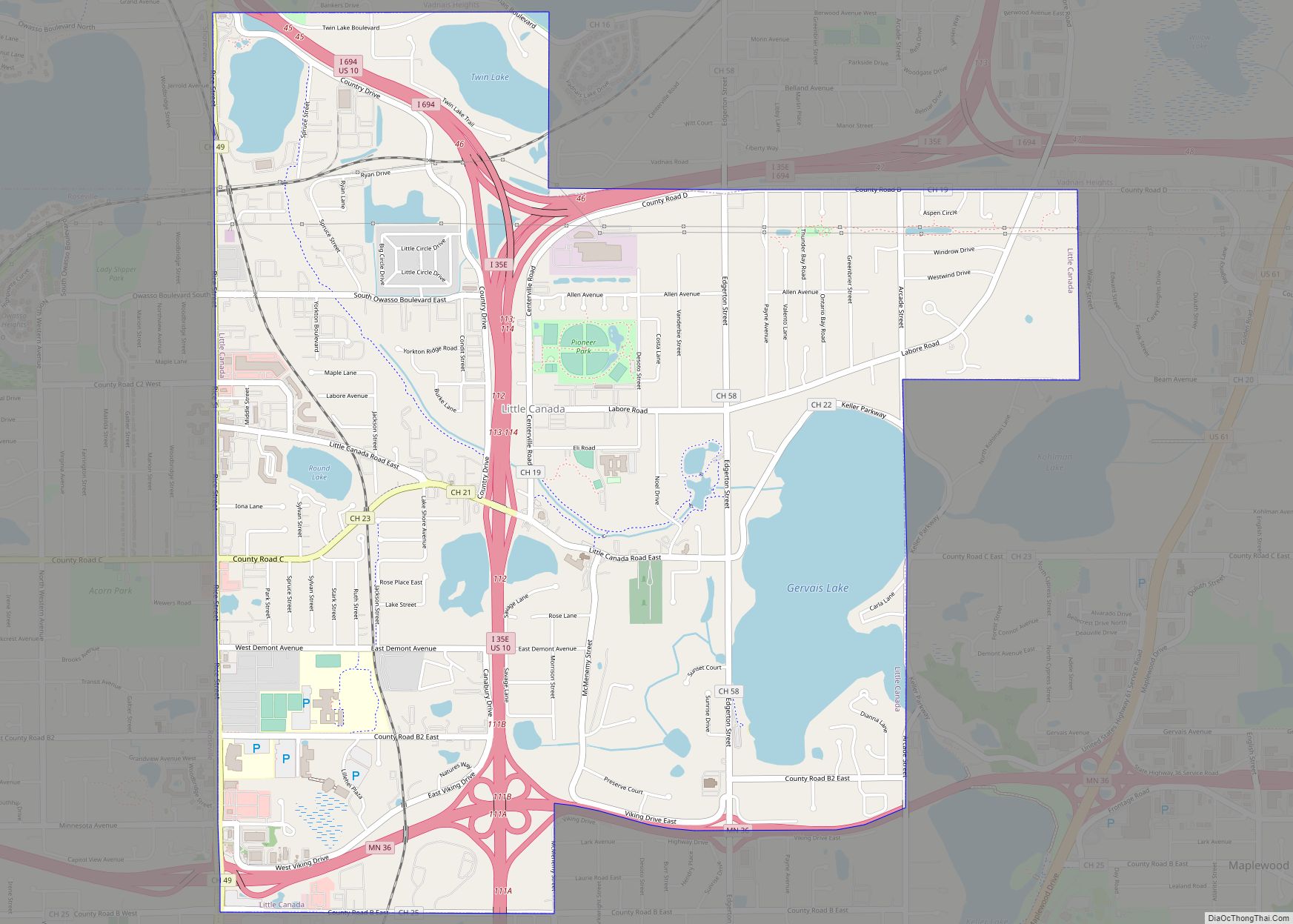
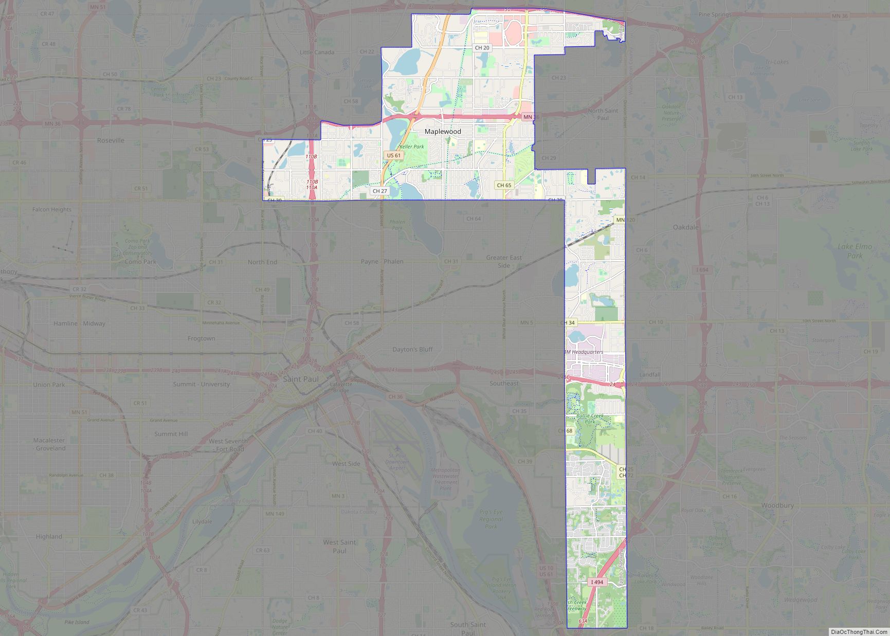
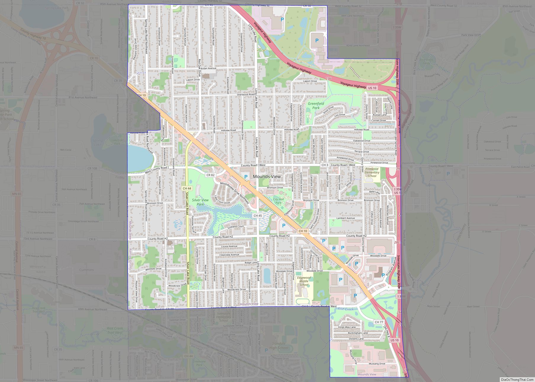
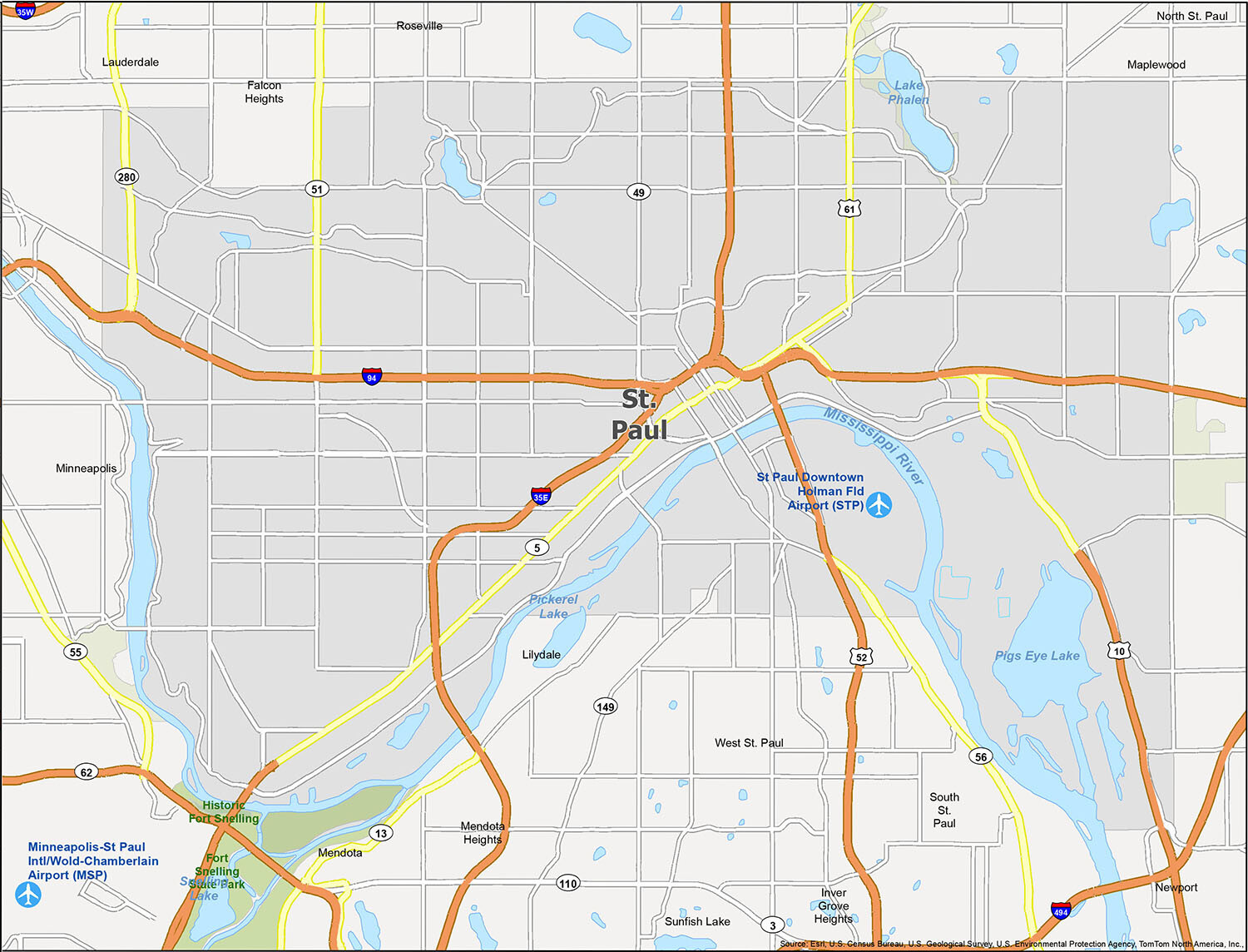
St. Paul, Minnesota is a great place to live if you’re looking for a city with a lot of history. The St. Paul reference map includes nearby cities, towns, and census districts, as well as lakes, rivers, parks, and the Minneapolis−Saint Paul International Airport. You can also find two airports in St. Paul, the Minneapolis−Saint Paul International/World Chamberlain Airport (MSP) and the St Paul Downtown Holman Field Airport (STP). Cities included in the St. Paul reference map include Falcon Heights, Inver Grove Heights, Lauderdale, Lilydale, Maplewood, Mendota, Mendota Heights, Minneapolis, Newport, North St. Paul, Roseville, South St. Paul, St. Paul, Sunfish Lake, and West St. Paul. Lakes and rivers in the area include Lake Phalen, Mississippi River, Pickerel Lake, Pigs Eye Lake, and Snelling Lake. Parks and recreation spots include Fort Snelling State Park and Historic Fort Snelling.
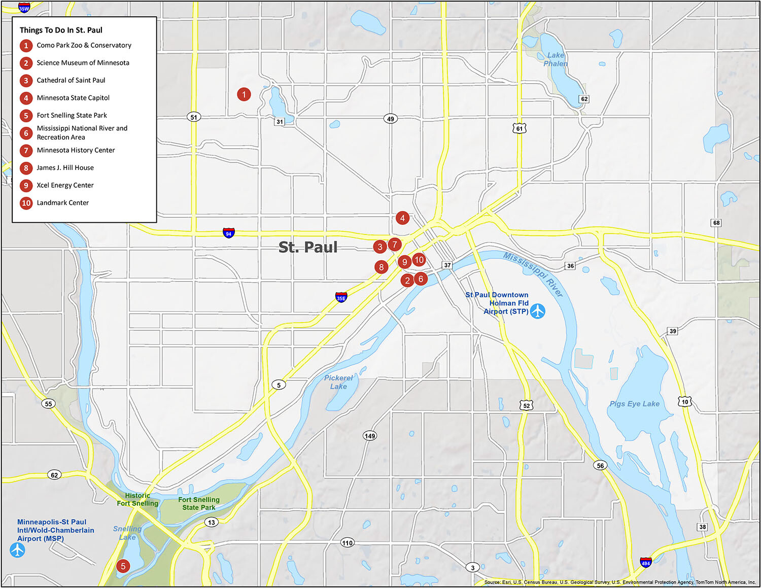
10 things to do in St. Paul city
From the majestic Minnesota State Capitol to the sprawling Fort Snelling State Park, St. Paul is full of amazing attractions to explore. This list of 10 things to do will help you plan your stay and make sure you don’t miss out on the city’s best sights. With everything from the Como Park Zoo & Conservatory to the Cathedral of Saint Paul, there’s something for everyone in St. Paul.
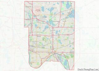
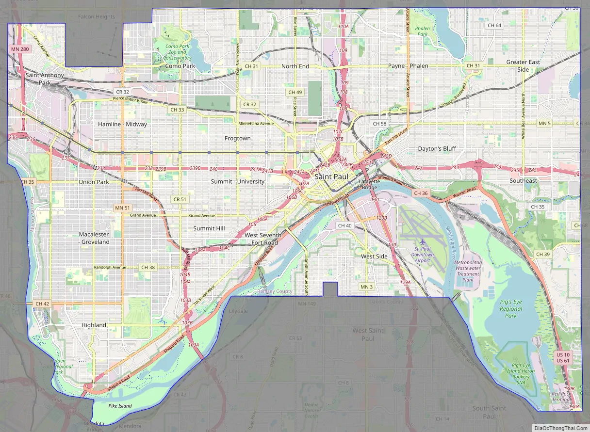
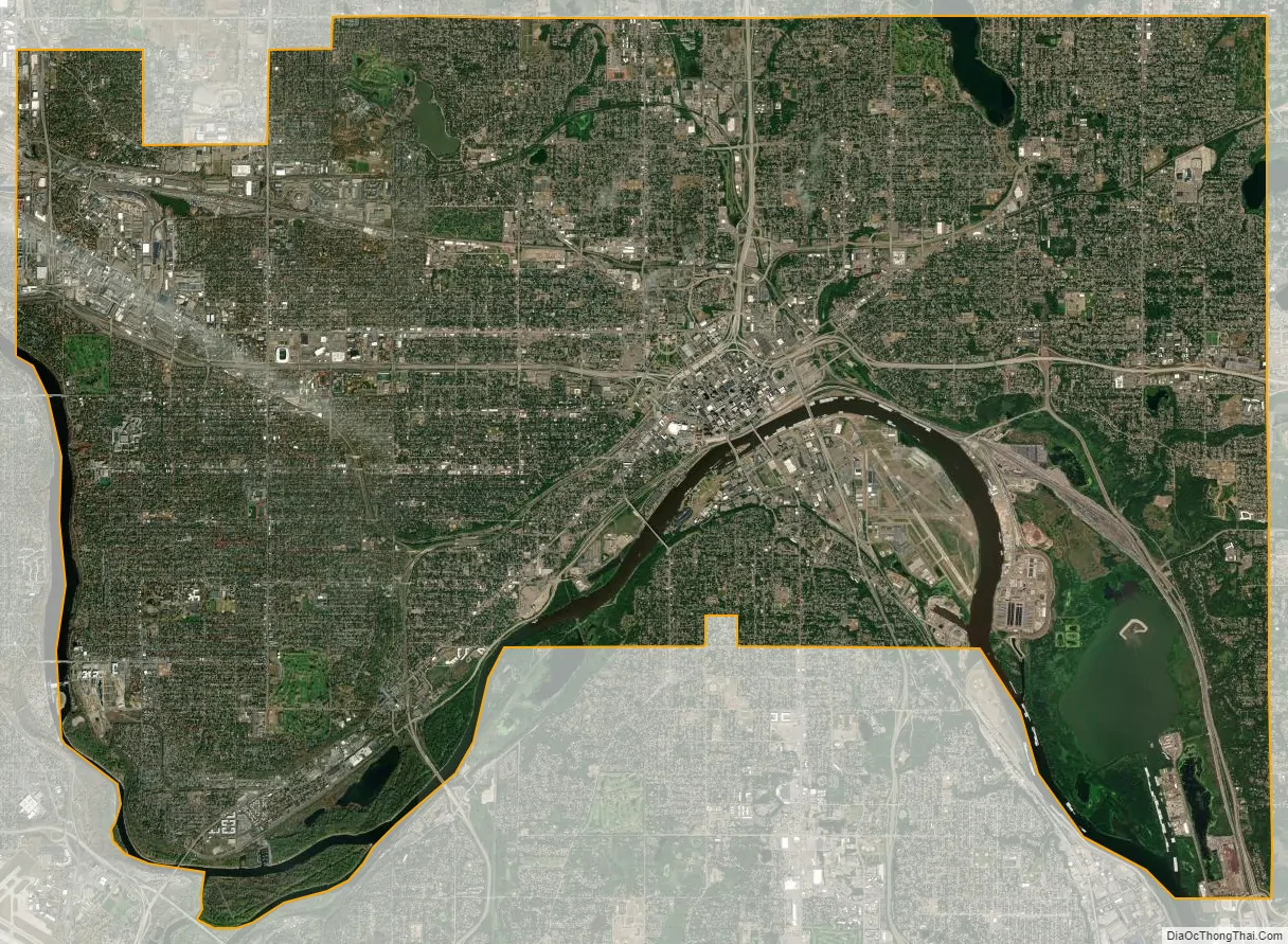
St. Paul city Satellite Map
Geography
Saint Paul’s history and growth as a landing port are tied to water. The city’s defining physical characteristic, the confluence of the Mississippi and Minnesota Rivers, was carved into the region during the last ice age, as were the steep river bluffs and dramatic palisades on which the city is built. Receding glaciers and Lake Agassiz forced torrents of water from a glacial river that served the river valleys. The city is situated in east-central Minnesota.
The Mississippi River forms a municipal boundary on part of the city’s west, southwest, and southeast sides. Minneapolis, the state’s largest city, lies to the west. Falcon Heights, Lauderdale, Roseville, and Maplewood are north, with Maplewood lying to the east. The cities of West Saint Paul and South Saint Paul are to the south, as are Lilydale, Mendota, and Mendota Heights, across the river from the city. The city’s largest lakes are Pig’s Eye Lake, which is part of the Mississippi, Lake Phalen, and Lake Como. According to the United States Census Bureau, the city has a total area of 56.18 square miles (145.51 km), of which 51.98 square miles (134.63 km) is land and 4.20 square miles (10.88 km) is water.
The Parks and Recreation department is responsible for 160 parks and 41 recreation centers. The city ranked #2 in park access and quality, after only Minneapolis, in the 2018 ParkScore ranking of the top 100 park systems across the United States according to the nonprofit Trust for Public Land.
Neighborhoods
Saint Paul’s Department of Planning and Economic Development divides Saint Paul into seventeen Planning Districts, created in 1979 to allow neighborhoods to participate in governance and use Community Development Block Grants. With a funding agreement directly from the city, the councils share a pool of funds. The councils have significant land-use control, a voice in guiding development, and they organize residents. The boundaries are adjusted depending on population changes; as such, they sometimes overlap established neighborhoods. Though these neighborhoods changed over time, preservationists have saved many of their historically significant structures.
The city’s 17 Planning Districts are:
- Sunray-Battle Creek-Highwood
- Greater East Side
- West Side
- Dayton’s Bluff
- Payne-Phalen
- North End
- Thomas Dale (Frogtown)
- Summit-University
- West Seventh
- Como Park
- Hamline-Midway
- Saint Anthony Park
- Union Park
- Macalester-Groveland
- Highland Park
- Summit Hill
- Downtown
See also
Map of Minnesota State and its subdivision:- Aitkin
- Anoka
- Becker
- Beltrami
- Benton
- Big Stone
- Blue Earth
- Brown
- Carlton
- Carver
- Cass
- Chippewa
- Chisago
- Clay
- Clearwater
- Cook
- Cottonwood
- Crow Wing
- Dakota
- Dodge
- Douglas
- Faribault
- Fillmore
- Freeborn
- Goodhue
- Grant
- Hennepin
- Houston
- Hubbard
- Isanti
- Itasca
- Jackson
- Kanabec
- Kandiyohi
- Kittson
- Koochiching
- Lac qui Parle
- Lake
- Lake of the Woods
- Lake Superior
- Le Sueur
- Lincoln
- Lyon
- Mahnomen
- Marshall
- Martin
- McLeod
- Meeker
- Mille Lacs
- Morrison
- Mower
- Murray
- Nicollet
- Nobles
- Norman
- Olmsted
- Otter Tail
- Pennington
- Pine
- Pipestone
- Polk
- Pope
- Ramsey
- Red Lake
- Redwood
- Renville
- Rice
- Rock
- Roseau
- Saint Louis
- Scott
- Sherburne
- Sibley
- Stearns
- Steele
- Stevens
- Swift
- Todd
- Traverse
- Wabasha
- Wadena
- Waseca
- Washington
- Watonwan
- Wilkin
- Winona
- Wright
- Yellow Medicine
- Alabama
- Alaska
- Arizona
- Arkansas
- California
- Colorado
- Connecticut
- Delaware
- District of Columbia
- Florida
- Georgia
- Hawaii
- Idaho
- Illinois
- Indiana
- Iowa
- Kansas
- Kentucky
- Louisiana
- Maine
- Maryland
- Massachusetts
- Michigan
- Minnesota
- Mississippi
- Missouri
- Montana
- Nebraska
- Nevada
- New Hampshire
- New Jersey
- New Mexico
- New York
- North Carolina
- North Dakota
- Ohio
- Oklahoma
- Oregon
- Pennsylvania
- Rhode Island
- South Carolina
- South Dakota
- Tennessee
- Texas
- Utah
- Vermont
- Virginia
- Washington
- West Virginia
- Wisconsin
- Wyoming