Red Wing is a city in Goodhue County, Minnesota, United States, along the upper Mississippi River. The population was 16,547 at the 2020 census. It is the county seat of Goodhue County.
This city is named for early 19th-century Dakota Sioux chief Red Wing. The federal government established a Mdewakanton Sioux Indian reservation—now Prairie Island Indian Community—in 1889 along the Mississippi River to free up land for new settlers. The city of Red Wing developed around it.
The National Trust for Historic Preservation placed Red Wing on its 2008 distinctive destinations list because of its “impressive architecture and enviable natural environment.”
| Name: | Red Wing city |
|---|---|
| LSAD Code: | 25 |
| LSAD Description: | city (suffix) |
| State: | Minnesota |
| County: | Goodhue County |
| Elevation: | 735 ft (224 m) |
| Total Area: | 41.41 sq mi (107.26 km²) |
| Land Area: | 34.83 sq mi (90.20 km²) |
| Water Area: | 6.59 sq mi (17.06 km²) |
| Total Population: | 16,547 |
| Population Density: | 475.12/sq mi (183.45/km²) |
| ZIP code: | 55066 |
| Area code: | 651 |
| FIPS code: | 2753620 |
Online Interactive Map
Click on ![]() to view map in "full screen" mode.
to view map in "full screen" mode.
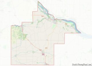
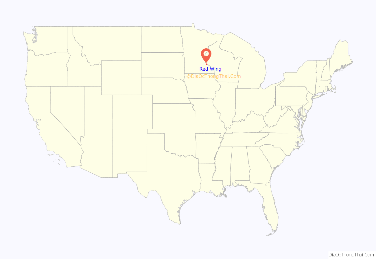
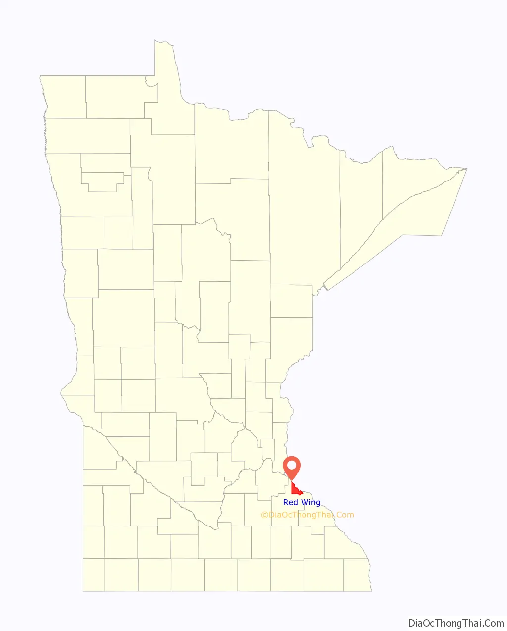
Red Wing location map. Where is Red Wing city?
History
In the early 1850s, settlers from Mississippi River steamboats came to Red Wing to farm in Goodhue County. They encroached on traditional territory of the Mdewakanton Sioux.
The settlers cleared the land for wheat, the annual crop of which could pay the cost of the land. Before railroads were constructed across the territory of Goodhue County, it produced more wheat than any other county in the country. In 1873, Red Wing led the country in wheat sold by farmers. The warehouses in the port of Red Wing could store and export more than a million bushels.
Once the railroads connected southern Minnesota with Minneapolis and Saint Anthony, where the largest flour mills were built, the port at Red Wing lost prominence.
The Aurora Ski Club in Red Wing, founded on February 8, 1887, was one of the first ski clubs in North America, reflecting the skills of Scandinavian immigrants in the area. In the 1880s, Aurora club members introduced what became known as “Red Wing Style” ski techniques, patterned after the Telemark skiing form. The term “Red Wing style” remained in use in the U.S. well into the 20th century. In 1887, Norwegian immigrant Mikkjel Hemmestveit set the first North American ski jumping record, 37 feet, at the Aurora Ski Club’s McSorley Hill.
In 1889, the federal government established a Mdewakanton Sioux Indian reservation along the Mississippi River to free up land for settlers. It is now within the city of Red Wing, and is known as the Prairie Island Indian Community.
Red Wing’s first settlers built small mills, factories, and workshops like those they were familiar with in New England and the upper Midwest, whence many had come. Numerous immigrants from Germany, Ireland, Norway and Sweden settled in this area and were also skilled craftsmen. Some early industries were tanning and shoe-making, while other businesses manufactured farm equipment, bricks, barrels, boats, furniture, pottery, and clothing buttons. Consumables included beer and lumber. Service industries including stone-cutting, hospitality, and retailing. The St. James Hotel remains a working token of the earlier time.
Red Wing was once home to Hamline University, founded in 1854 as Minnesota’s first institution of higher education. It closed in 1869 because of low enrollment due to diversion of students to the American Civil War. Chartered in St. Paul in 1871, it reopened there in 1880.
Red Wing Seminary was a Lutheran Church seminary, founded in 1879. It was the educational center for Hauge’s Norwegian Evangelical Lutheran Synod in America, commonly known as the Hauge Synod. Red Wing Seminary operated until 1917.
Red Wing also was the home of Minnesota Elementarskola, a Swedish elementary school that was the predecessor to Gustavus Adolphus College, a private liberal arts college of the Evangelical Lutheran Church of America (ELCA). The school was founded in Red Wing in 1862 by Eric Norelius, moved to East Union in 1863, and then was built in St. Peter in 1873–76.
The Red Wing Pottery and stoneware industry began in 1861, when county potter John Paul discovered the large, glacially deposited clay pit beds in the northwest of the city, close to Hay Creek. The first commercial pottery company, Red Wing Stoneware, was founded in 1877. It used clay from the area of the Hay Creek headwaters, close to Goodhue, near a hamlet named Claybank. A railroad branch line was built to carry clay to Red Wing for this industry. The factory buildings remain, but only traces of the railroad, abandoned in 1937, are left.
20th century to present
The Minnesota Correctional Facility – Red Wing is housed in the former Minnesota State Training School, built in 1889. Warren B. Dunnell designed the original Romanesque building. He was the architect of a number of Minnesota’s public buildings. The institution was the subject of “Walls of Red Wing”, a folk song by American singer-songwriter Bob Dylan.
In the last half of the 20th century, the United States Army Corps of Engineers built Lock and Dam No. 3 and deepened the channel on the Mississippi River to improve navigation in this area. Such projects have revitalized Mississippi River traffic for shipping grain and coal. The port of Red Wing has gained business as a result.
In 1973, the Prairie Island Nuclear Power Plant opened along the river. The federal government authorized the project in consultation with the Minnesota state government. Xcel Energy owns and operates the facility.
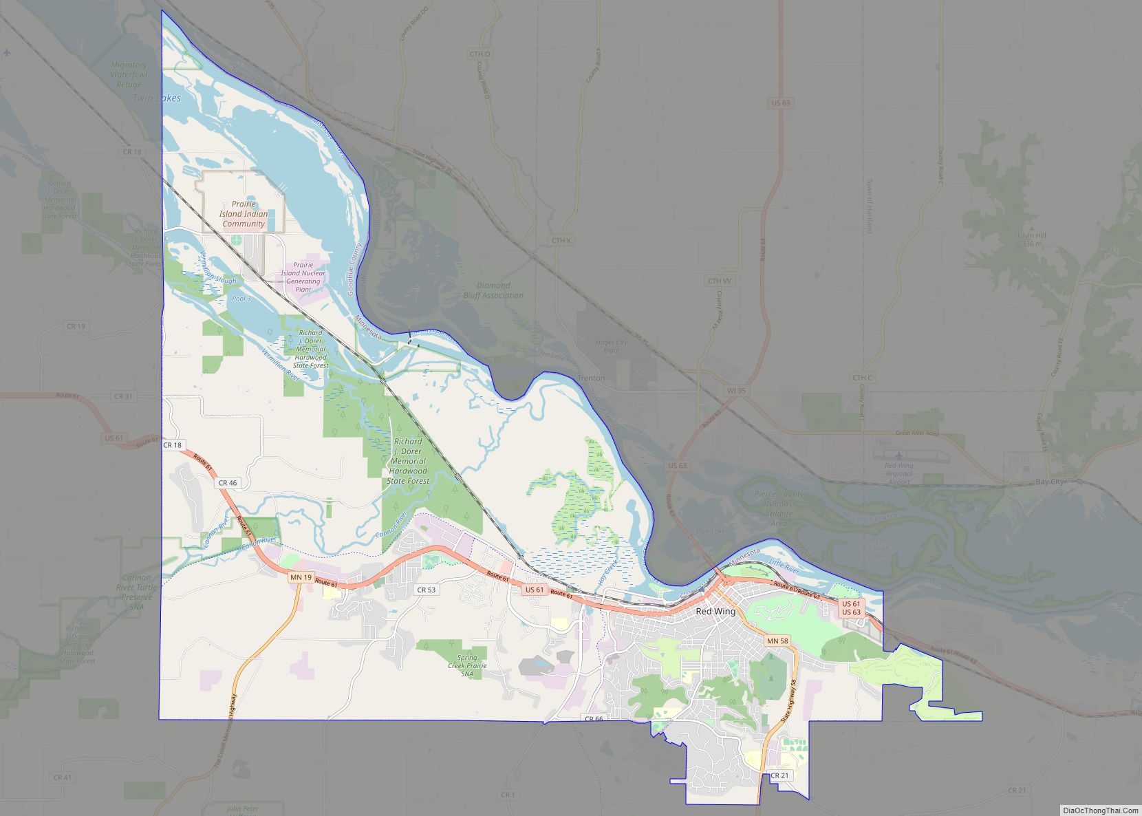
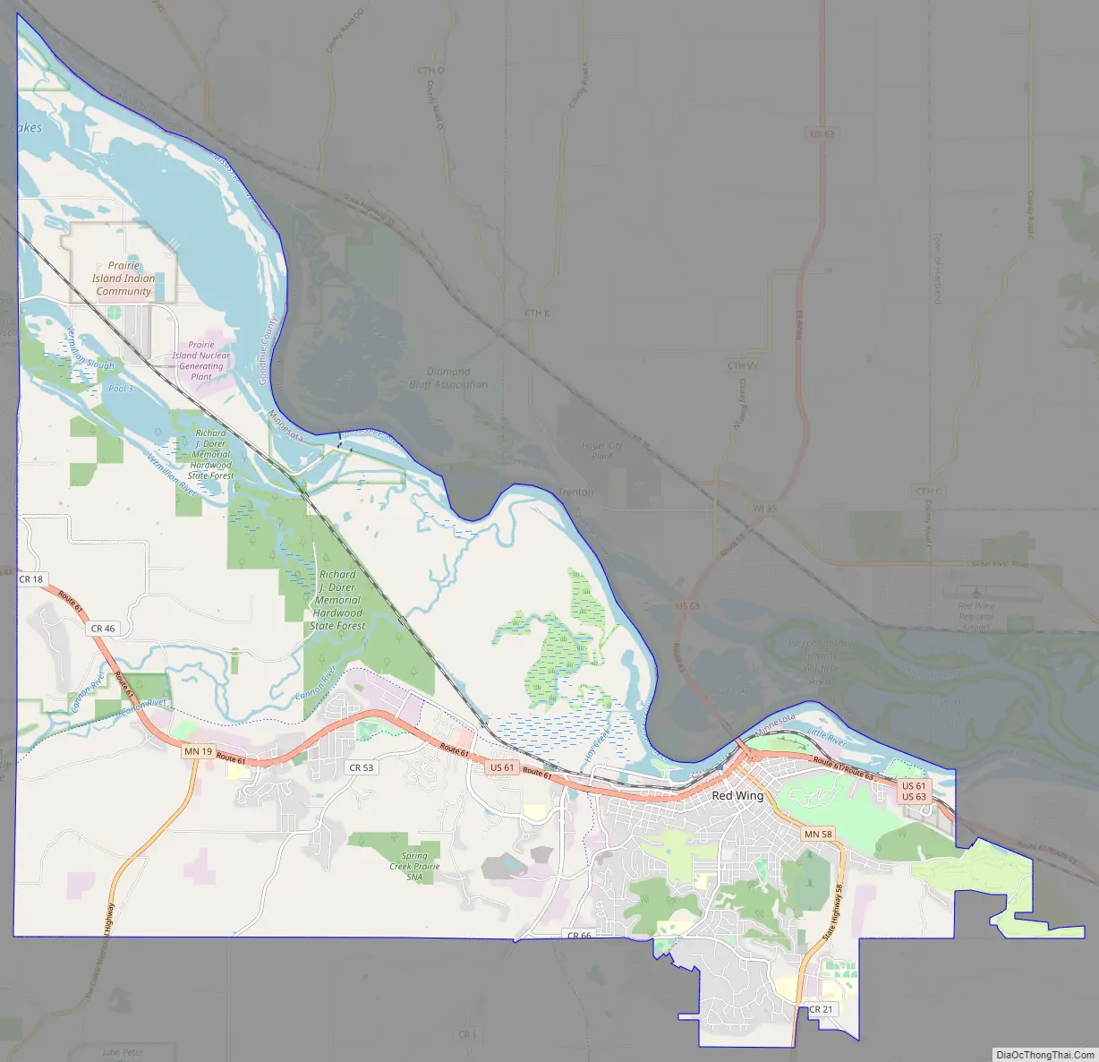
Red Wing Road Map
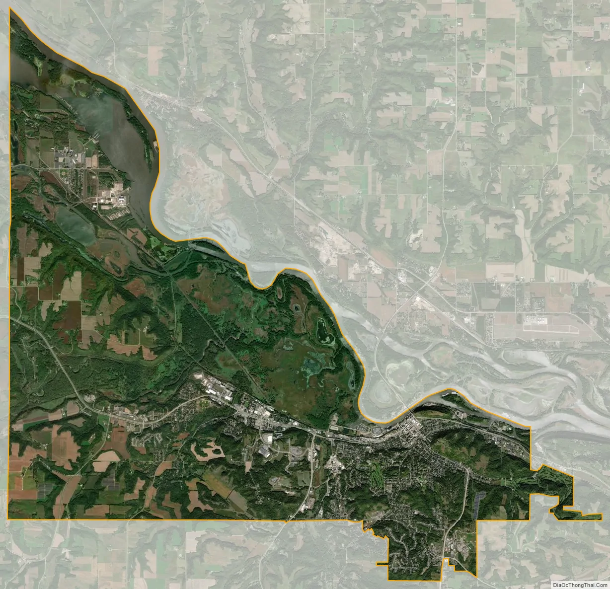
Red Wing city Satellite Map
Geography
According to the United States Census Bureau, the city has an area of 41.19 square miles (106.68 km), of which 34.60 square miles (89.61 km) is land and 6.59 square miles (17.07 km) is water. The city is at the northern edge of the Driftless Area of karst topography.
Neighborhoods
Red Wing has several neighborhoods or other places annexed by the city. These include:
- Burnside Township
- East Red Wing
- Eggleston
See also
Map of Minnesota State and its subdivision:- Aitkin
- Anoka
- Becker
- Beltrami
- Benton
- Big Stone
- Blue Earth
- Brown
- Carlton
- Carver
- Cass
- Chippewa
- Chisago
- Clay
- Clearwater
- Cook
- Cottonwood
- Crow Wing
- Dakota
- Dodge
- Douglas
- Faribault
- Fillmore
- Freeborn
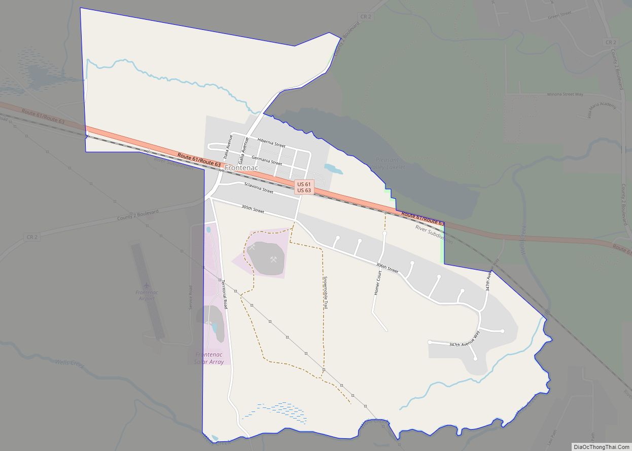
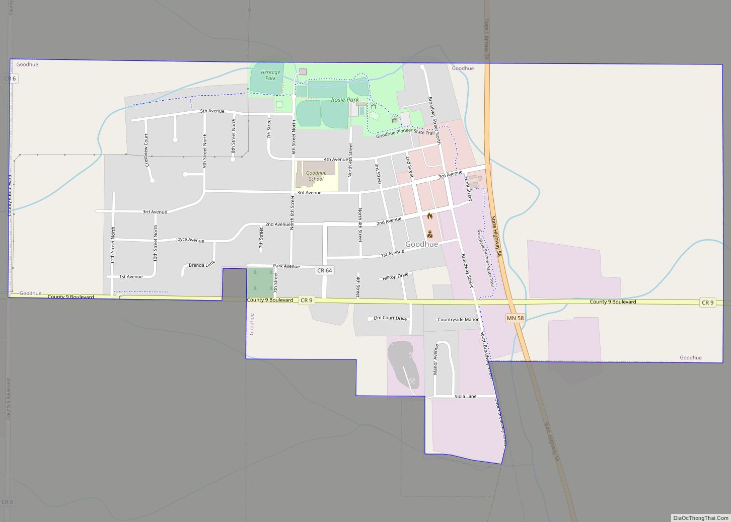
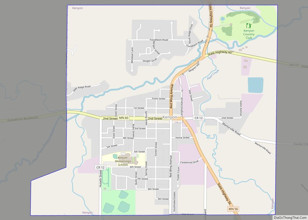
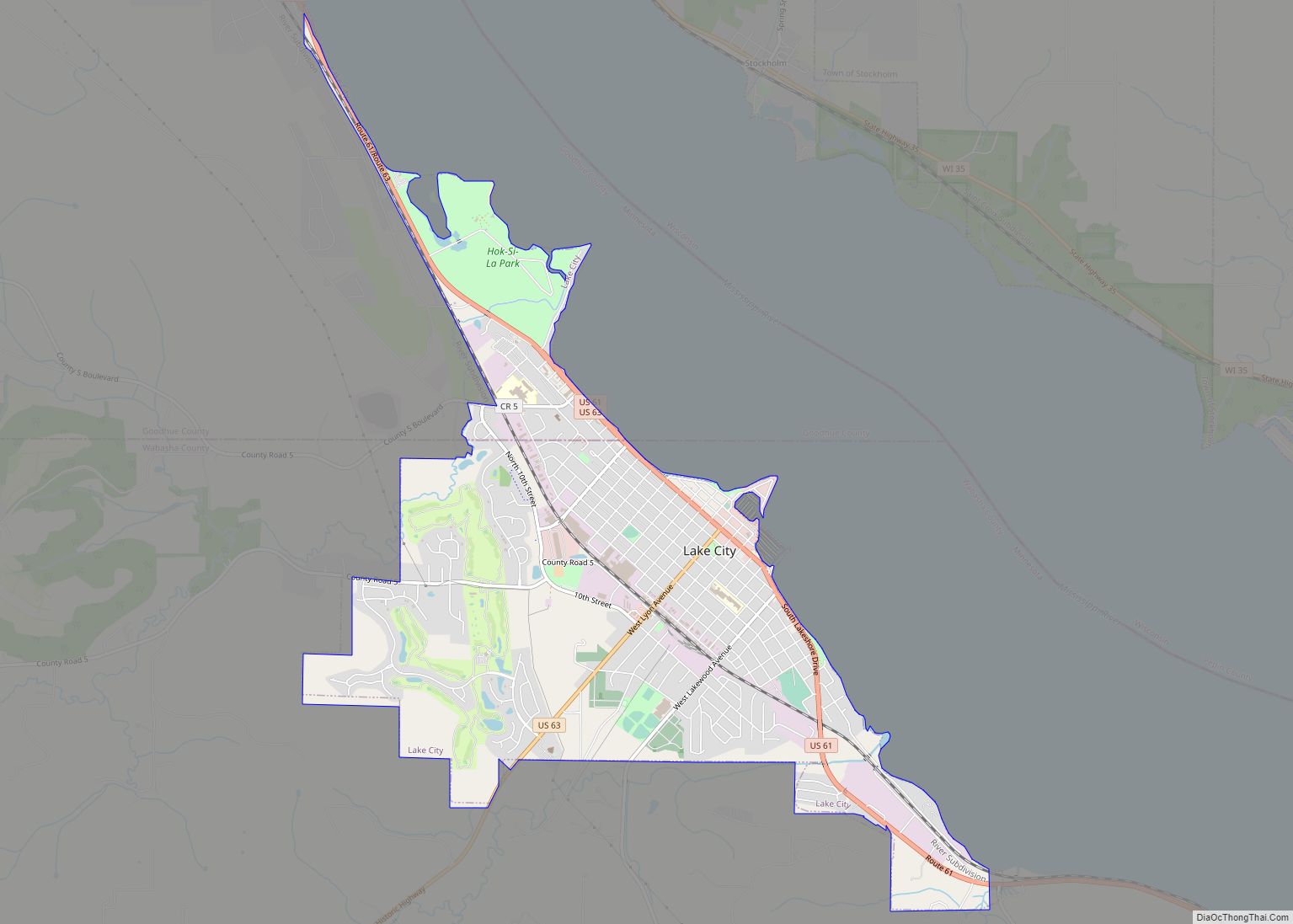
- Goodhue
- Grant
- Hennepin
- Houston
- Hubbard
- Isanti
- Itasca
- Jackson
- Kanabec
- Kandiyohi
- Kittson
- Koochiching
- Lac qui Parle
- Lake
- Lake of the Woods
- Lake Superior
- Le Sueur
- Lincoln
- Lyon
- Mahnomen
- Marshall
- Martin
- McLeod
- Meeker
- Mille Lacs
- Morrison
- Mower
- Murray
- Nicollet
- Nobles
- Norman
- Olmsted
- Otter Tail
- Pennington
- Pine
- Pipestone
- Polk
- Pope
- Ramsey
- Red Lake
- Redwood
- Renville
- Rice
- Rock
- Roseau
- Saint Louis
- Scott
- Sherburne
- Sibley
- Stearns
- Steele
- Stevens
- Swift
- Todd
- Traverse
- Wabasha
- Wadena
- Waseca
- Washington
- Watonwan
- Wilkin
- Winona
- Wright
- Yellow Medicine
- Alabama
- Alaska
- Arizona
- Arkansas
- California
- Colorado
- Connecticut
- Delaware
- District of Columbia
- Florida
- Georgia
- Hawaii
- Idaho
- Illinois
- Indiana
- Iowa
- Kansas
- Kentucky
- Louisiana
- Maine
- Maryland
- Massachusetts
- Michigan
- Minnesota
- Mississippi
- Missouri
- Montana
- Nebraska
- Nevada
- New Hampshire
- New Jersey
- New Mexico
- New York
- North Carolina
- North Dakota
- Ohio
- Oklahoma
- Oregon
- Pennsylvania
- Rhode Island
- South Carolina
- South Dakota
- Tennessee
- Texas
- Utah
- Vermont
- Virginia
- Washington
- West Virginia
- Wisconsin
- Wyoming