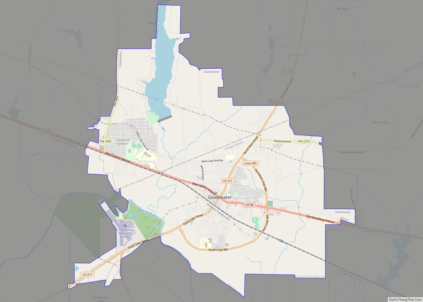
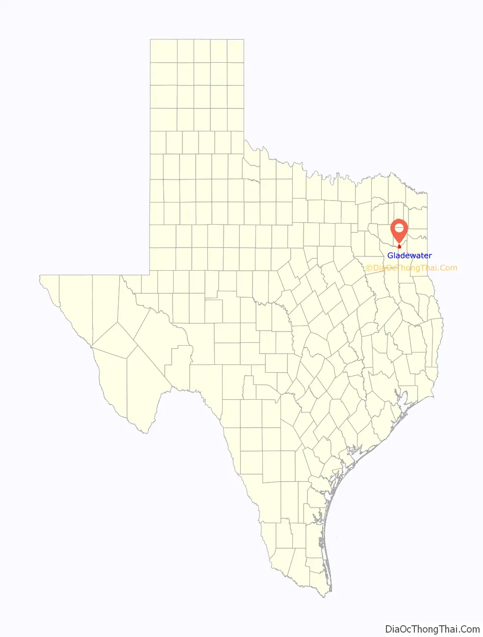
Gladewater is a city in Gregg and Upshur counties in the U.S. state of Texas with a 2020 census population of 6,134.
In the early 20th century, Gladewater was an oil boom town. In 1995, the Texas Legislature proclaimed it the “Antique Capital of East Texas.”
| Name: | Gladewater city |
|---|---|
| LSAD Code: | 25 |
| LSAD Description: | city (suffix) |
| State: | Texas |
| County: | Gregg County, Upshur County |
| Elevation: | 364 ft (111 m) |
| Total Area: | 12.09 sq mi (31.32 km²) |
| Land Area: | 11.57 sq mi (29.96 km²) |
| Water Area: | 0.53 sq mi (1.36 km²) |
| Total Population: | 6,134 |
| Population Density: | 510/sq mi (200/km²) |
| ZIP code: | 75647 |
| Area code: | 903 |
| FIPS code: | 4829660 |
| GNISfeature ID: | 1336557 |
| Website: | cityofgladewater.com |
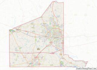
Online Interactive Map
Click on ![]() to view map in "full screen" mode.
to view map in "full screen" mode.
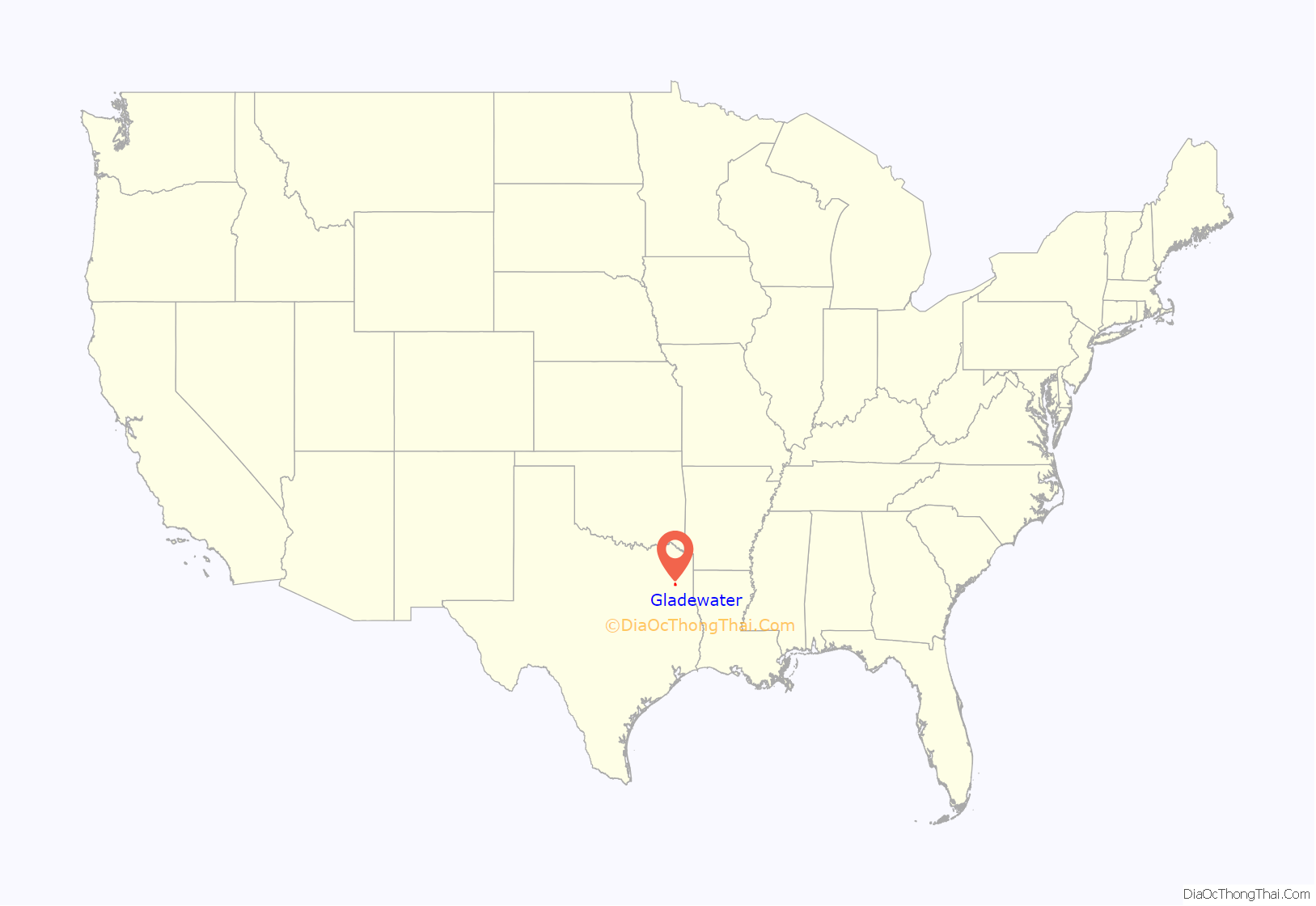
Gladewater location map. Where is Gladewater city?
History
Gladewater was founded by the Texas and Pacific Railway Company in 1873 on land bought from Jarrett Dean and Anderson White. A community called St. Clair, 2 miles (3 km) to the east, moved to Gladewater when the railroad announced that the only mail stop in the area would be there; residents from Point Pleasant, also bypassed by the railroad, moved to Gladewater. The first post office at Gladewater was established on August 22, 1873. The town’s name probably originated from its proximity to Glade Creek, a tributary of the Sabine River that rose in a rather barren region called the Glades.
In 1874, Gladewater was incorporated with a mayor-alderman government. The incorporation lapsed, and a new charter was not obtained until 1931, when an influx of population necessitated organized city government. In 1955 Gladewater adopted a council-mayor form of government. The population grew slowly during the nineteenth century; the town had only 163 people in 1880 and 259 in 1900. In the area around Gladewater lumbering was a major activity, although farming was also important; cotton was the major crop. In 1908 the town had ten stores, one bank, two blacksmith shops, two hotels, a gin, a sawmill, and a planing mill. It continued to grow slowly until 1931.
On April 7, 1931, the first Gladewater oil well blew in. It was located one mile (1.6 km) outside town in the Sabine River bottom. Oil production led to a population increase during the 1930s from about 500 to around 8,000 people. In 1940, after the oil boom, Gladewater had a population of 4,454. Civic improvements in the 1940s included an extensive paving project and a commercial airfield. Between 1940 and 1960 the population grew to 5,742. Lake Gladewater, constructed on Glade Creek in 1954, provides recreation for city residents.
During the 1970s Gladewater moved from an oil-oriented to a more diversified economy, primarily because of depletion of oil resources in the area. The movement of salt water into the western edge of the large East Texas Oil Field affected Gladewater first. By 1980 the town had a total of 6,548 residents, 4,311 in Gregg County and 2,237 in Upshur County. The economy in the 1980s depended on the oil industry and related activities and on the manufacture of such products as furniture, clothing, paper products, and boats. The lumber industry is also important, as is agriculture. By 1990 the community had become well known for its numerous antique stores. Notable annual festivals include the East Texas Gusher Days in April, the Gladewater Roundup Rodeo in June, the Arts and Crafts Festival in September, and Christmas in November.
In 1935, the Boston Red Sox franchise had a minor league baseball team in Gladewater, the Gladewater Bears. The minor league stadium has since been turned into a city park. The predominant features of the stadium are long gone, but the stadium is located near the Lee Building in Gladewater.
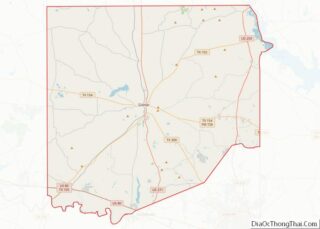
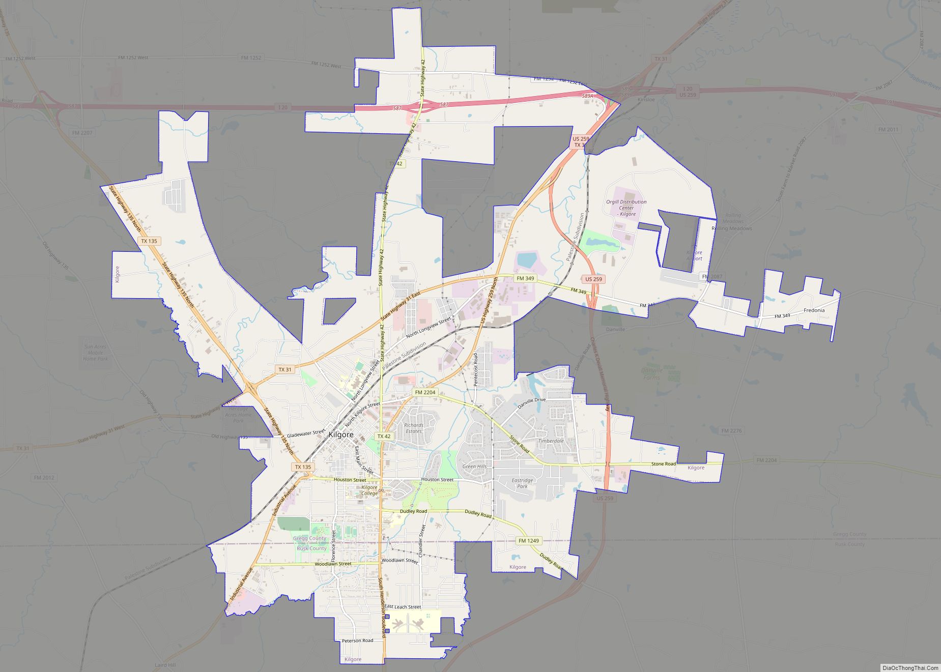
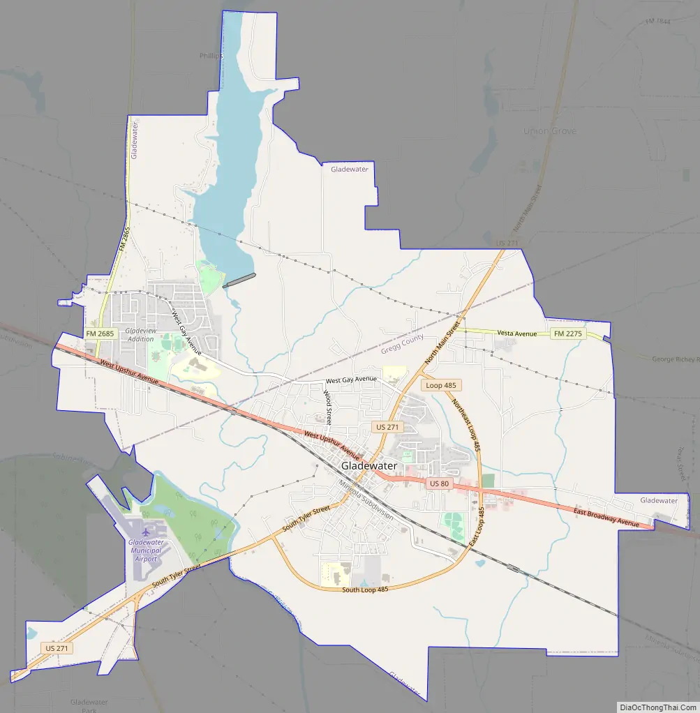
Gladewater Road Map
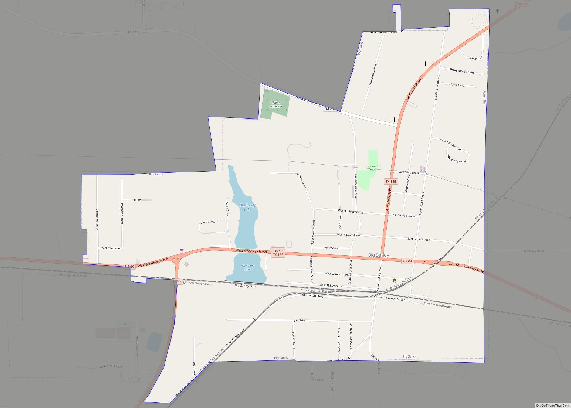
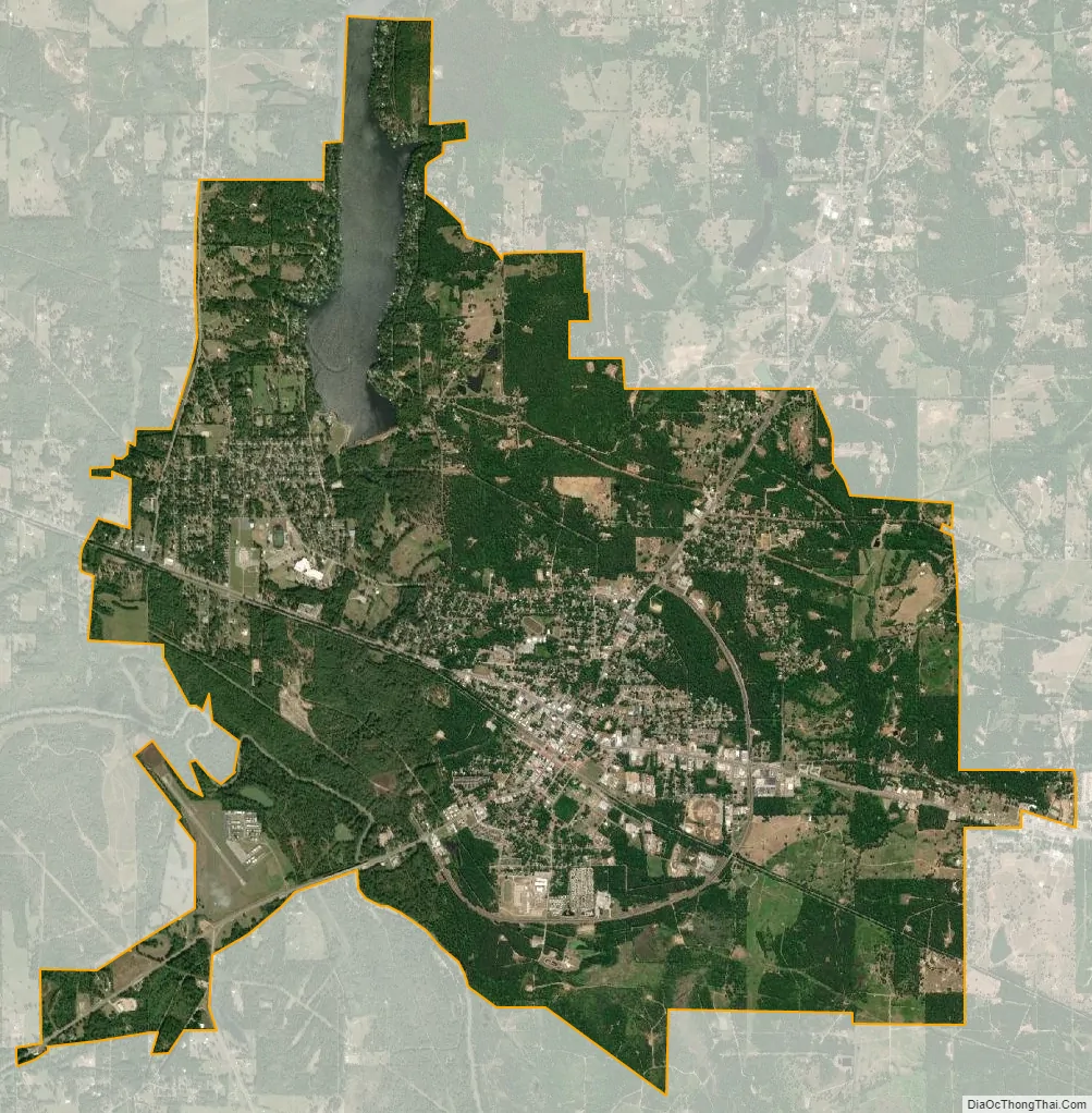
Gladewater city Satellite Map
Geography
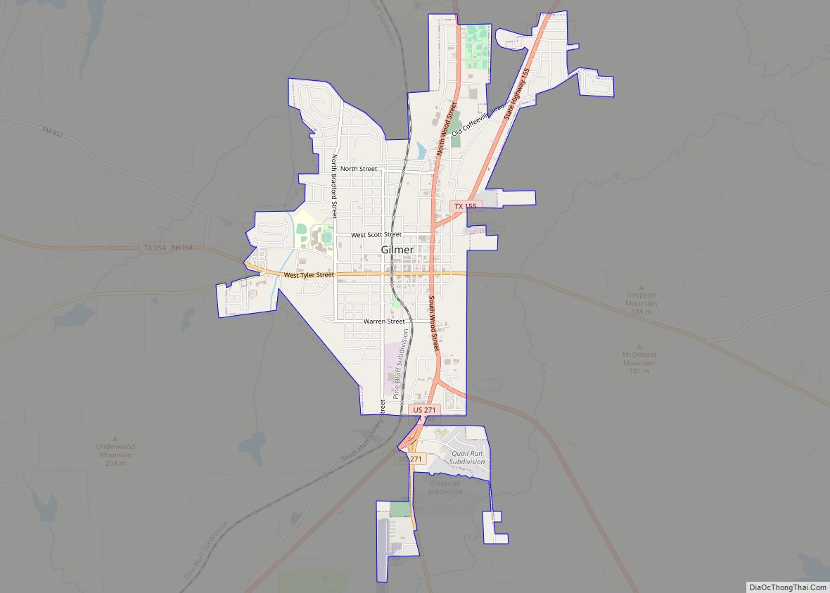
It is located in western Gregg County and southern Upshur County at 32°32′34″N 94°56′49″W / 32.54278°N 94.94694°W / 32.54278; -94.94694 (32.542666, –94.946950), primarily within Gregg County. U.S. Route 80 leads east 12 miles (19 km) to Longview and west 10 miles (16 km) to Big Sandy. U.S. Route 271 crosses US 80 in the center of Gladewater, leading north 14 miles (23 km) to Gilmer and southwest 25 miles (40 km) to Tyler.
According to the United States Census Bureau, Gladewater has a total area of 12.2 square miles (31.5 km), of which 11.6 square miles (30.0 km) are land and 0.54 square miles (1.4 km), or 4.61%, are water. The Sabine River forms the southwest border of the city.
See also
Map of Texas State and its subdivision:- Anderson
- Andrews
- Angelina
- Aransas
- Archer
- Armstrong
- Atascosa
- Austin
- Bailey
- Bandera
- Bastrop
- Baylor
- Bee
- Bell
- Bexar
- Blanco
- Borden
- Bosque
- Bowie
- Brazoria
- Brazos
- Brewster
- Briscoe
- Brooks
- Brown
- Burleson
- Burnet
- Caldwell
- Calhoun
- Callahan
- Cameron
- Camp
- Carson
- Cass
- Castro
- Chambers
- Cherokee
- Childress
- Clay
- Cochran
- Coke
- Coleman
- Collin
- Collingsworth
- Colorado
- Comal
- Comanche
- Concho
- Cooke
- Coryell
- Cottle
- Crane
- Crockett
- Crosby
- Culberson
- Dallam
- Dallas
- Dawson
- Deaf Smith
- Delta
- Denton
- Dewitt
- Dickens
- Dimmit
- Donley
- Duval
- Eastland
- Ector
- Edwards
- El Paso
- Ellis
- Erath
- Falls
- Fannin
- Fayette
- Fisher
- Floyd
- Foard
- Fort Bend
- Franklin
- Freestone
- Frio
- Gaines
- Galveston
- Garza
- Gillespie
- Glasscock
- Goliad
- Gonzales
- Gray
- Grayson
- Gregg
- Grimes
- Guadalupe
- Hale
- Hall
- Hamilton
- Hansford
- Hardeman
- Hardin
- Harris
- Harrison
- Hartley
- Haskell
- Hays
- Hemphill
- Henderson
- Hidalgo
- Hill
- Hockley
- Hood
- Hopkins
- Houston
- Howard
- Hudspeth
- Hunt
- Hutchinson
- Irion
- Jack
- Jackson
- Jasper
- Jeff Davis
- Jefferson
- Jim Hogg
- Jim Wells
- Johnson
- Jones
- Karnes
- Kaufman
- Kendall
- Kenedy
- Kent
- Kerr
- Kimble
- King
- Kinney
- Kleberg
- Knox
- La Salle
- Lamar
- Lamb
- Lampasas
- Lavaca
- Lee
- Leon
- Liberty
- Limestone
- Lipscomb
- Live Oak
- Llano
- Loving
- Lubbock
- Lynn
- Madison
- Marion
- Martin
- Mason
- Matagorda
- Maverick
- McCulloch
- McLennan
- McMullen
- Medina
- Menard
- Midland
- Milam
- Mills
- Mitchell
- Montague
- Montgomery
- Moore
- Morris
- Motley
- Nacogdoches
- Navarro
- Newton
- Nolan
- Nueces
- Ochiltree
- Oldham
- Orange
- Palo Pinto
- Panola
- Parker
- Parmer
- Pecos
- Polk
- Potter
- Presidio
- Rains
- Randall
- Reagan
- Real
- Red River
- Reeves
- Refugio
- Roberts
- Robertson
- Rockwall
- Runnels
- Rusk
- Sabine
- San Augustine
- San Jacinto
- San Patricio
- San Saba
- Schleicher
- Scurry
- Shackelford
- Shelby
- Sherman
- Smith
- Somervell
- Starr
- Stephens
- Sterling
- Stonewall
- Sutton
- Swisher
- Tarrant
- Taylor
- Terrell
- Terry
- Throckmorton
- Titus
- Tom Green
- Travis
- Trinity
- Tyler
- Upshur
- Upton
- Uvalde
- Val Verde
- Van Zandt
- Victoria
- Walker
- Waller
- Ward
- Washington
- Webb
- Wharton
- Wheeler
- Wichita
- Wilbarger
- Willacy
- Williamson
- Wilson
- Winkler
- Wise
- Wood
- Yoakum
- Young
- Zapata
- Zavala
- Alabama
- Alaska
- Arizona
- Arkansas
- California
- Colorado
- Connecticut
- Delaware
- District of Columbia
- Florida
- Georgia
- Hawaii
- Idaho
- Illinois
- Indiana
- Iowa
- Kansas
- Kentucky
- Louisiana
- Maine
- Maryland
- Massachusetts
- Michigan
- Minnesota
- Mississippi
- Missouri
- Montana
- Nebraska
- Nevada
- New Hampshire
- New Jersey
- New Mexico
- New York
- North Carolina
- North Dakota
- Ohio
- Oklahoma
- Oregon
- Pennsylvania
- Rhode Island
- South Carolina
- South Dakota
- Tennessee
- Texas
- Utah
- Vermont
- Virginia
- Washington
- West Virginia
- Wisconsin
- Wyoming