Nelson County is a county in the U.S. state of North Dakota. As of the 2020 census, the population was 3,015. Its county seat is Lakota.
| Name: | Nelson County |
|---|---|
| FIPS code: | 38-063 |
| State: | North Dakota |
| Founded: | 1883 |
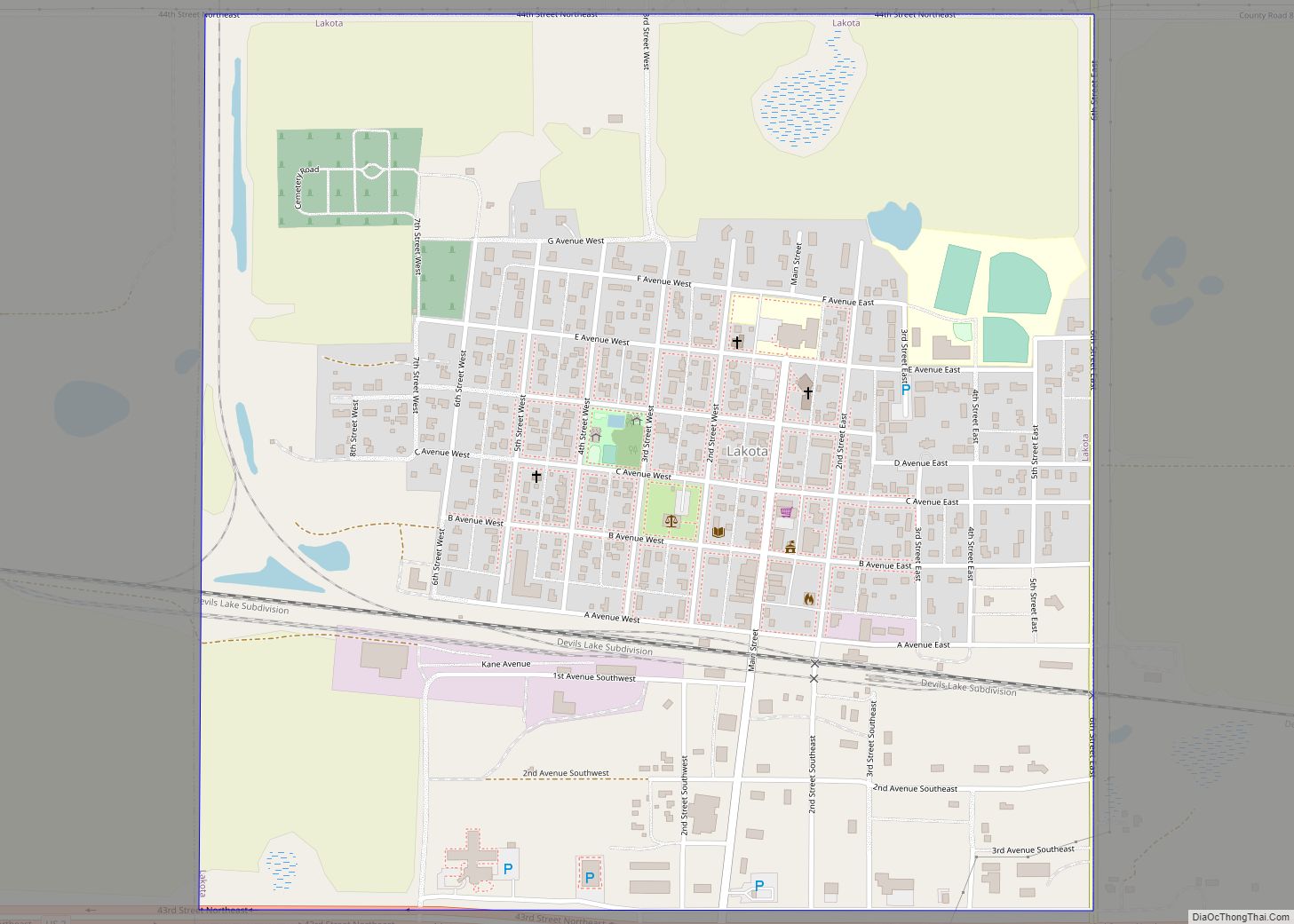
| Seat: | Lakota |
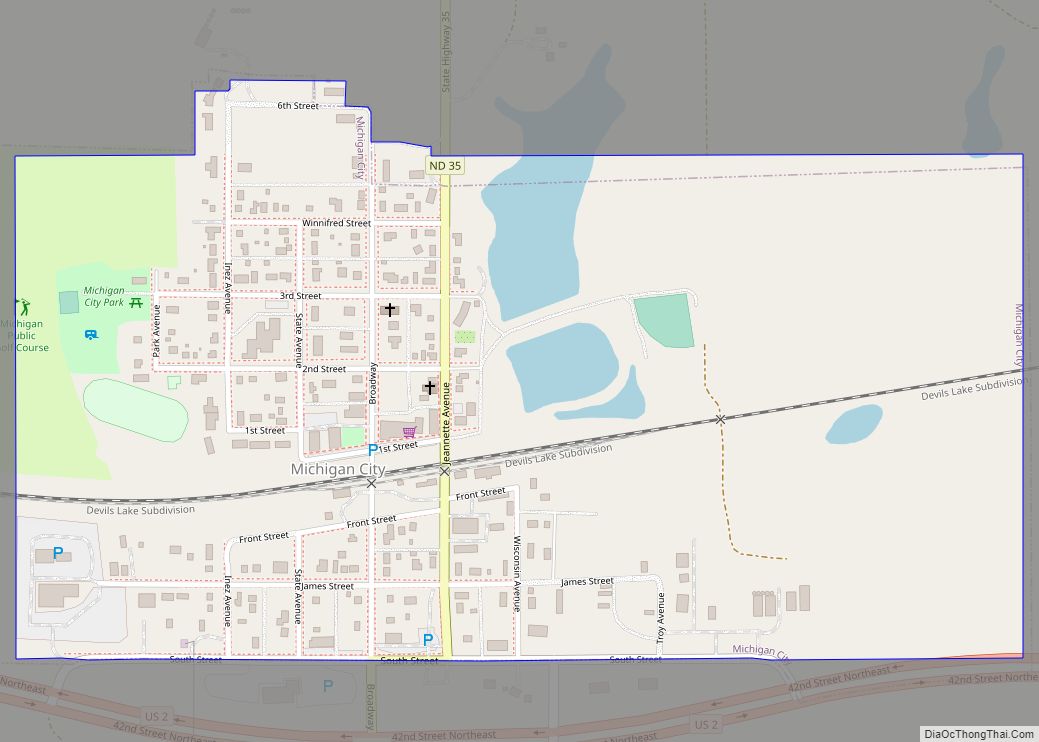
| Largest city: | Lakota |
| Total Area: | 1,009 sq mi (2,610 km²) |
| Land Area: | 982 sq mi (2,540 km²) |
| Total Population: | 3,015 |
| Population Density: | 3.0/sq mi (1.2/km²) |
| Time zone: | UTC−6 (Central) |
| Summer Time Zone (DST): | UTC−5 (CDT) |
| Website: | www.nelsonco.org |
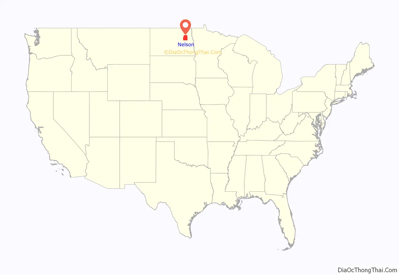
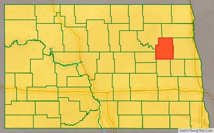
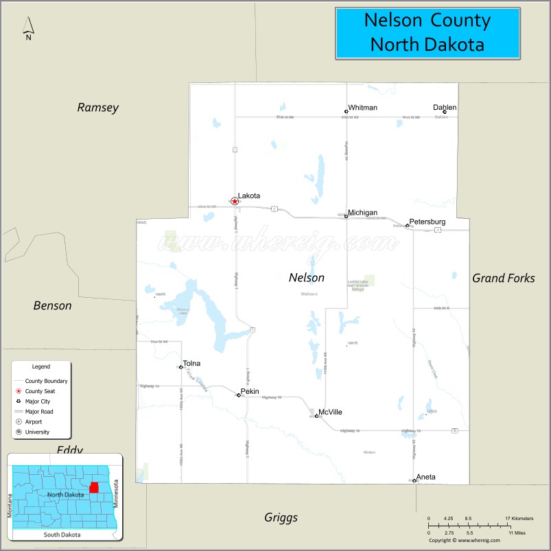
Nelson County location map. Where is Nelson County?
History
The Dakota Territory legislature created Nelson County on March 2, 1883, with areas annexed from Foster, Grand Forks and Ramsey counties, and with some previously unorganized area. It was not organized at that time, but was attached to Grand Forks County for administrative and judicial purposes. Its proposed boundary was enlarged on March 9, 1883, and on June 9, 1883, the county organization was effected and the administrative attachment to Grand Forks County was terminated.
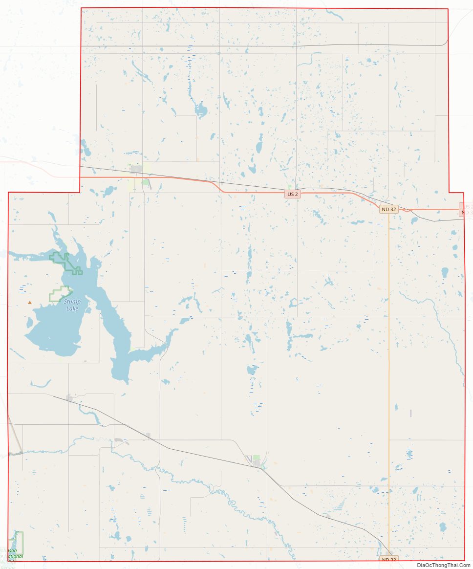
Nelson County Road Map
Geography
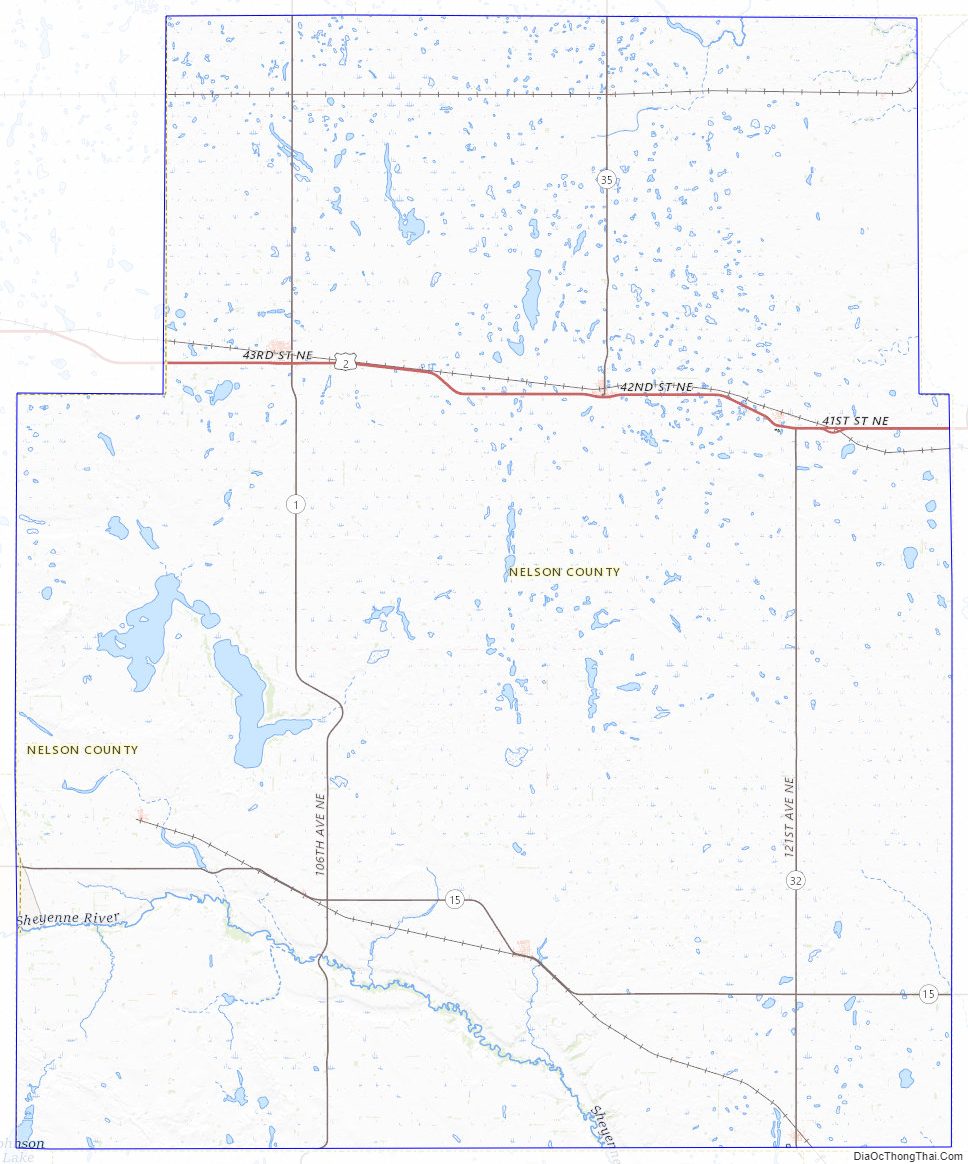
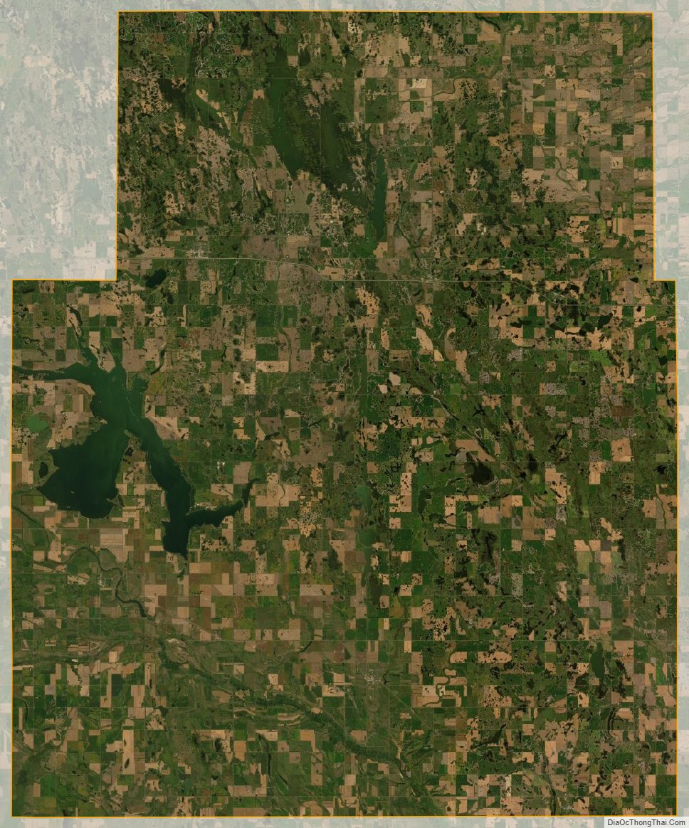
The county terrain consists of rolling hills dotted with lakes and ponds. The area is largely devoted to agriculture. The terrain slopes to the south and east, with its highest point near the midpoint of its north boundary line, at 1,545′ (471m) ASL. The county has a total area of 1,009 square miles (2,610 km), of which 982 square miles (2,540 km) is land and 27 square miles (70 km) (2.7%) is water.
Major highways
- U.S. Highway 2
- North Dakota Highway 1
- North Dakota Highway 15
- North Dakota Highway 32
- Nelson County Road 35
Adjacent counties
- Walsh County – northeast
- Grand Forks County – east
- Steele County – southeast
- Griggs County – south
- Eddy County – southwest
- Benson County – west
- Ramsey County – northwest
National protected areas
- Johnson Lake National Wildlife Refuge (part)
- Lambs Lake National Wildlife Refuge
- Rose Lake National Wildlife Refuge
- Stump Lake National Wildlife Refuge
Lakes
- Bitter Lake
- Church Lake
- Hillesland Lake
- Johnson Lake
- Lake Laretta
- Mannie Lake
- Omild Slough
- Ottofy Lake
- Rose Lake
- Rugh Lake
- Stump Lake
- Swan Lake
Nelson County Topographic Map
Nelson County Satellite Map
Nelson County Outline Map