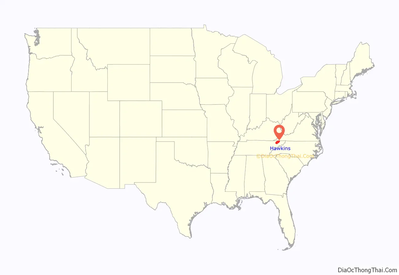
Hawkins County is a county located in the U.S. state of Tennessee. As of the 2020 census, the population was 56,721. Its county seat is Rogersville, Hawkins County is part of the Kingsport–Bristol–Bristol, TN-VA Metropolitan Statistical Area, which is a component of the Johnson City–Kingsport–Bristol, TN-VA Combined Statistical Area, commonly known as the “Tri-Cities” region.
| Name: | Hawkins County |
|---|---|
| FIPS code: | 47-073 |
| State: | Tennessee |
| Founded: | 1787 |
| Named for: | Benjamin Hawkins |
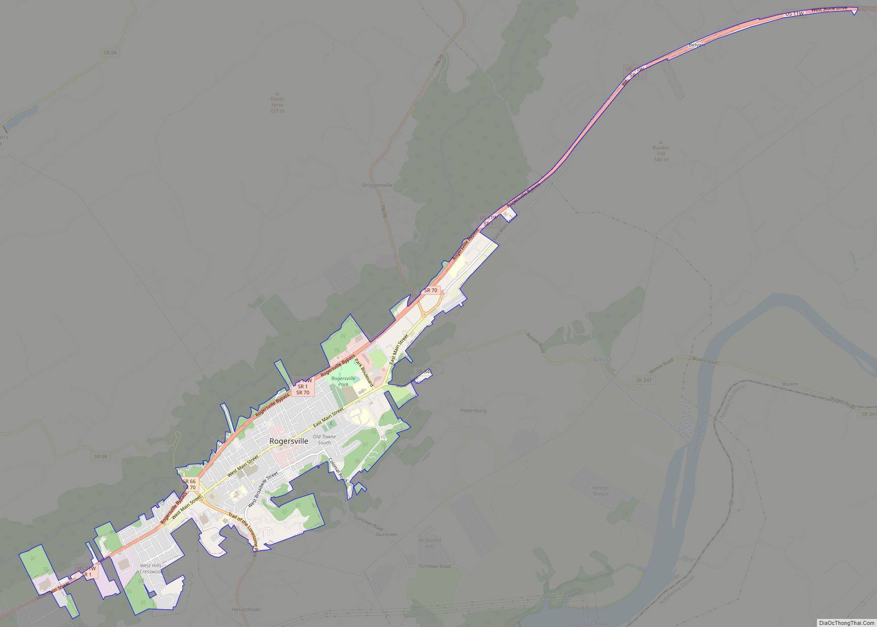
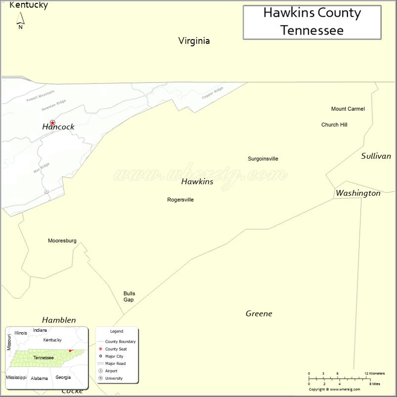
| Seat: | Rogersville |
| Largest city: | Kingsport |
| Total Area: | 500 sq mi (1,000 km²) |
| Land Area: | 487 sq mi (1,260 km²) |
| Total Population: | 56,721 |
| Population Density: | 117/sq mi (45/km²) |
| Time zone: | UTC−5 (Eastern) |
| Summer Time Zone (DST): | UTC−4 (EDT) |
| Website: | www.hawkinscountytn.gov |
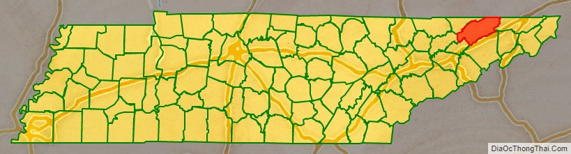
Hawkins County location map. Where is Hawkins County?
History
The land was given to William Armstrong as a land grant in the 1780s. Armstrong built Stony Point. Armstrong’s landholding was established as a county in 1787. It was named for Benjamin Hawkins, a U.S. Senator from North Carolina, the state which it was a part of at that time. In 1797, Louis Philippe (who would become King of the French in 1830) visited Armstrong’s estate.
During the American Civil War, Hawkins County saw combat. The Battle of Rogersville took place on November 6, 1863.
Since the 1940s, a 1,900-2,200 acre area western Hawkins County was proposed and planned as state park known as Poor Valley State Park in order to promote economic development efforts in the upper East Tennessee region, the plan would stall in the 1970s.
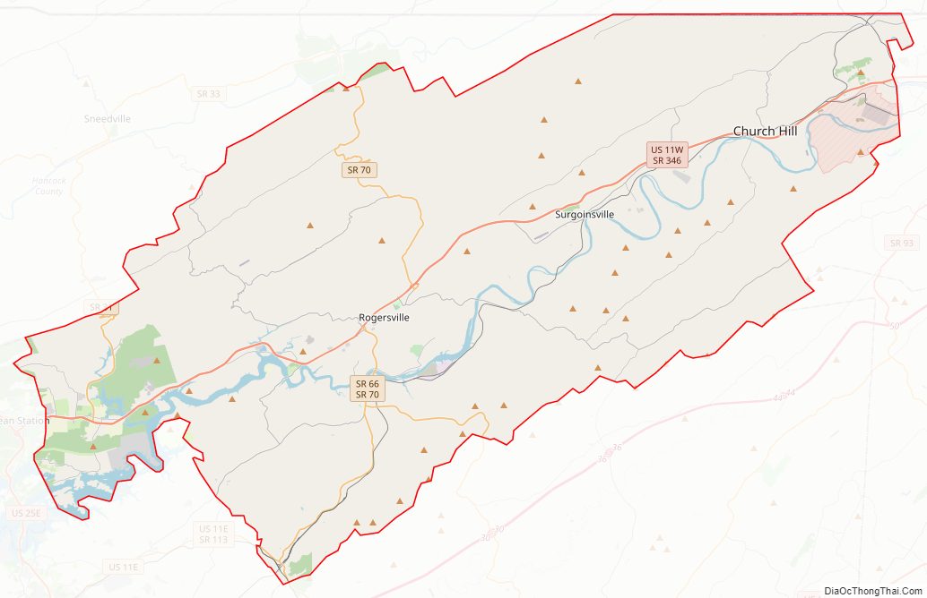
Hawkins County Road Map
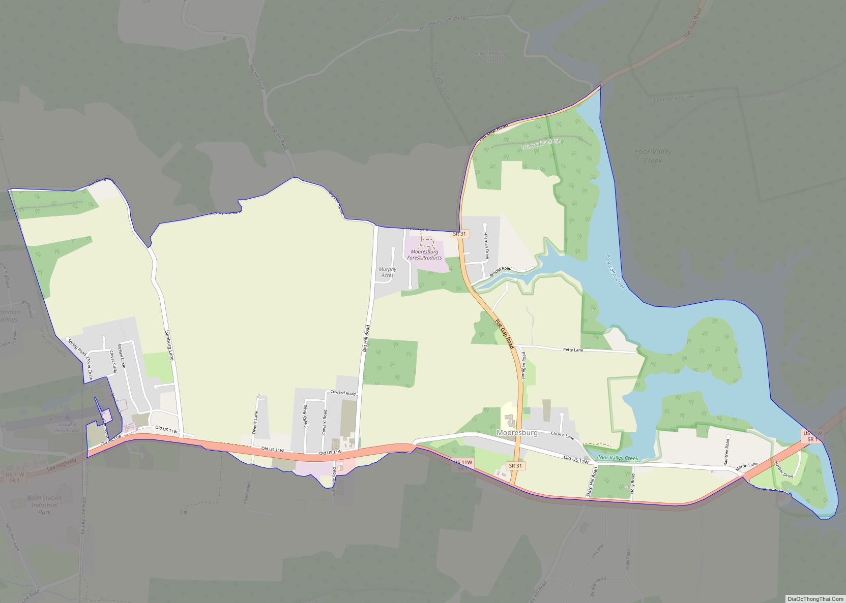
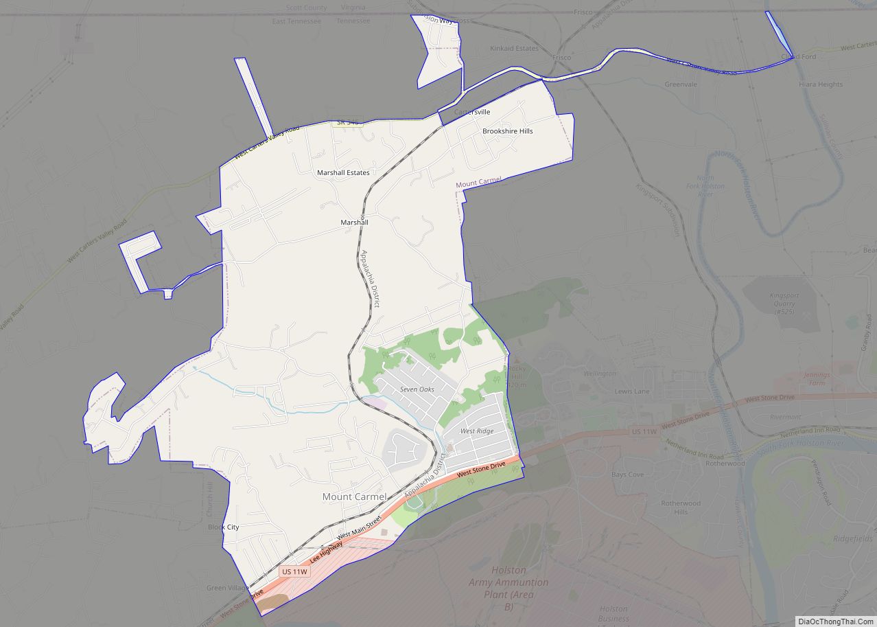
Geography
According to the U.S. Census Bureau, the county has a total area of 500 square miles (1,300 km), of which 487 square miles (1,260 km) is land and 13 square miles (34 km) (2.5%) is water.
Adjacent counties
- Scott County, Virginia (north)
- Sullivan County (east)
- Washington County (southeast)
- Greene County (south)
- Hamblen County and Grainger County (southwest)
- Hancock County (west)
State protected area
- Kyles Ford Wildlife Management Area (part)
Other protected area
- Bays Mountain Park (part)
Other historic sites
- Amis House
Hawkins County Topographic Map
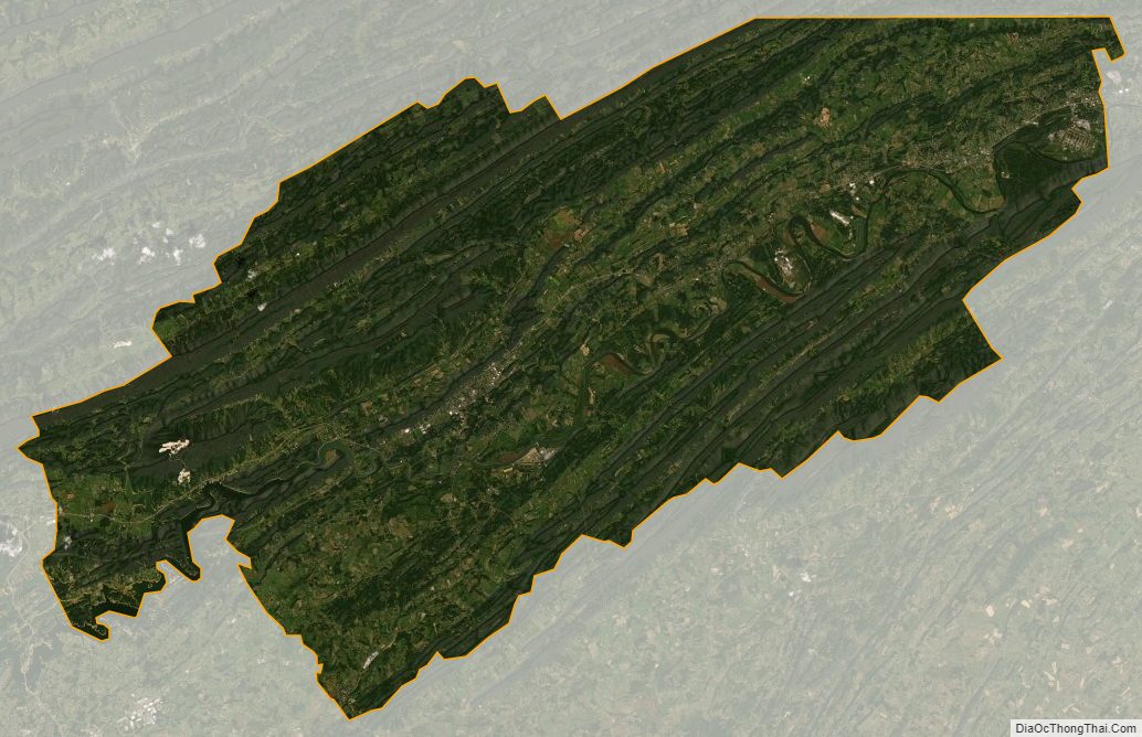
Hawkins County Satellite Map
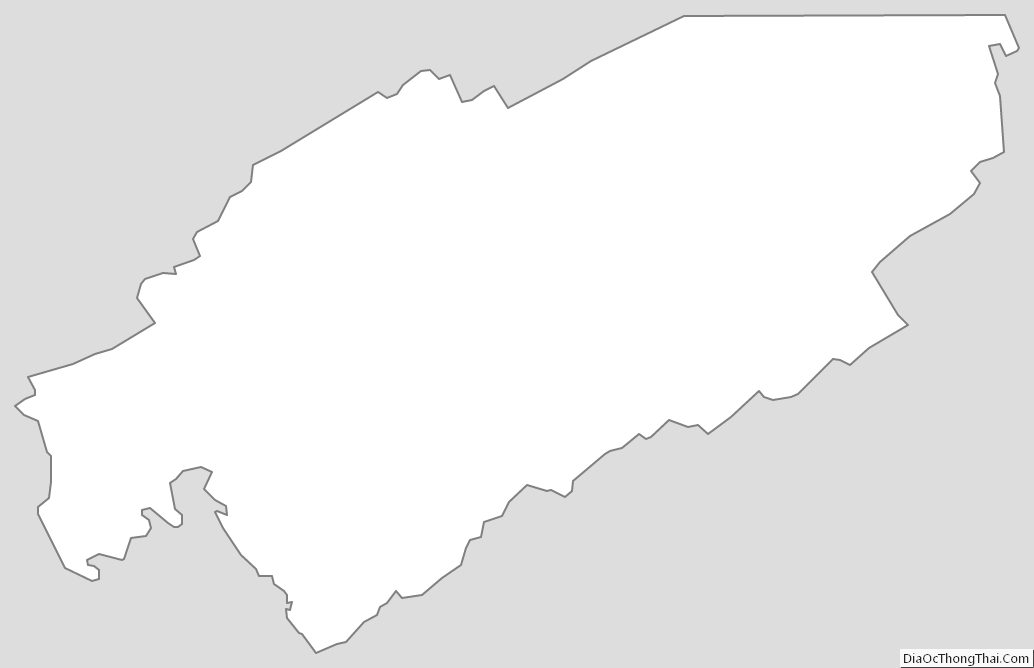
Hawkins County Outline Map