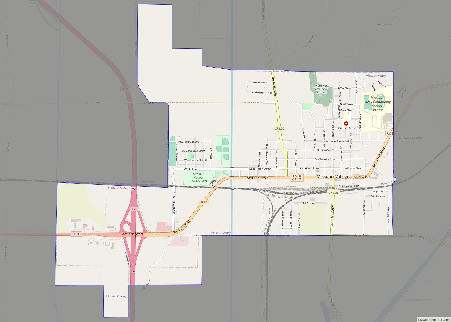
Missouri Valley is a city in Harrison County, Iowa, United States. The population was 2,678 at the time of the 2020 census.
| Name: | Missouri Valley city |
|---|---|
| LSAD Code: | 25 |
| LSAD Description: | city (suffix) |
| State: | Iowa |
| County: | Harrison County |
| Incorporated: | October 30, 1871 |
| Elevation: | 1,017 ft (310 m) |
| Total Area: | 3.32 sq mi (8.61 km²) |
| Land Area: | 3.32 sq mi (8.61 km²) |
| Water Area: | 0.00 sq mi (0.00 km²) |
| Total Population: | 2,678 |
| Population Density: | 806.14/sq mi (311.21/km²) |
| ZIP code: | 51555 |
| Area code: | 712 |
| FIPS code: | 1952860 |
| GNISfeature ID: | 0459150 |
| Website: | http://www.cityofmissourivalley.com |
Online Interactive Map
Click on ![]() to view map in "full screen" mode.
to view map in "full screen" mode.
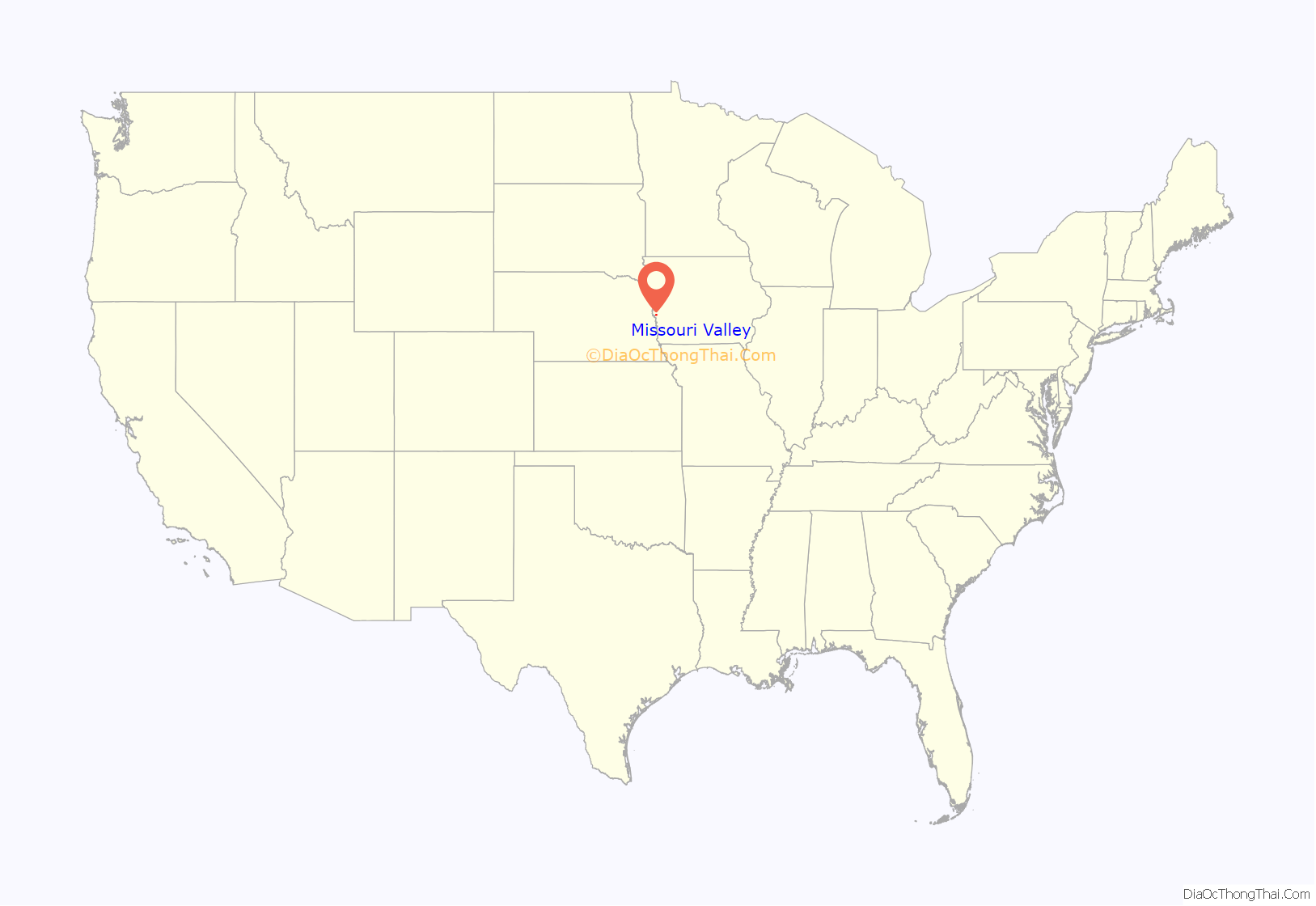
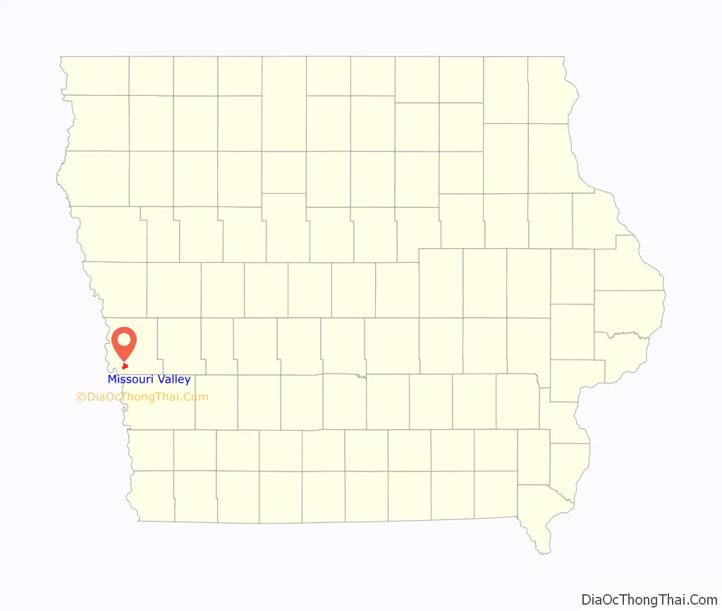
Missouri Valley location map. Where is Missouri Valley city?
History
Originally, Missouri Valley was known as St. John’s (Findley or Old St. Johns), and established in 1856. This settlement was founded at the intersection of the Chicago & Northwestern, Sioux City & Pacific, and the Fremont, Elkhorn & Missouri Valley lines. Following the collapse of wild cat banks in 1858 and the near completion of the railroad, the town was moved 2 miles from its original location and renamed “New St. Johns”. The town was formally renamed a second time soon after, this time being named after the valley of the Missouri River.
Missouri Valley was formally laid out in 1867 when the Chicago and North Western Railway was extended to that point. Missouri Valley was a true railroad town in the late 1800s. The Sioux City and Pacific’s headquarters was there and with it came the associated repair and machine shops, blacksmith, round house, etc. By 1896 population was approaching 4,000 and 25 passenger trains were coming in and out of Missouri Valley each day on 3 different lines. In 1900 the city adopted a resolution that the railroads were its chief industry and main sustenance.
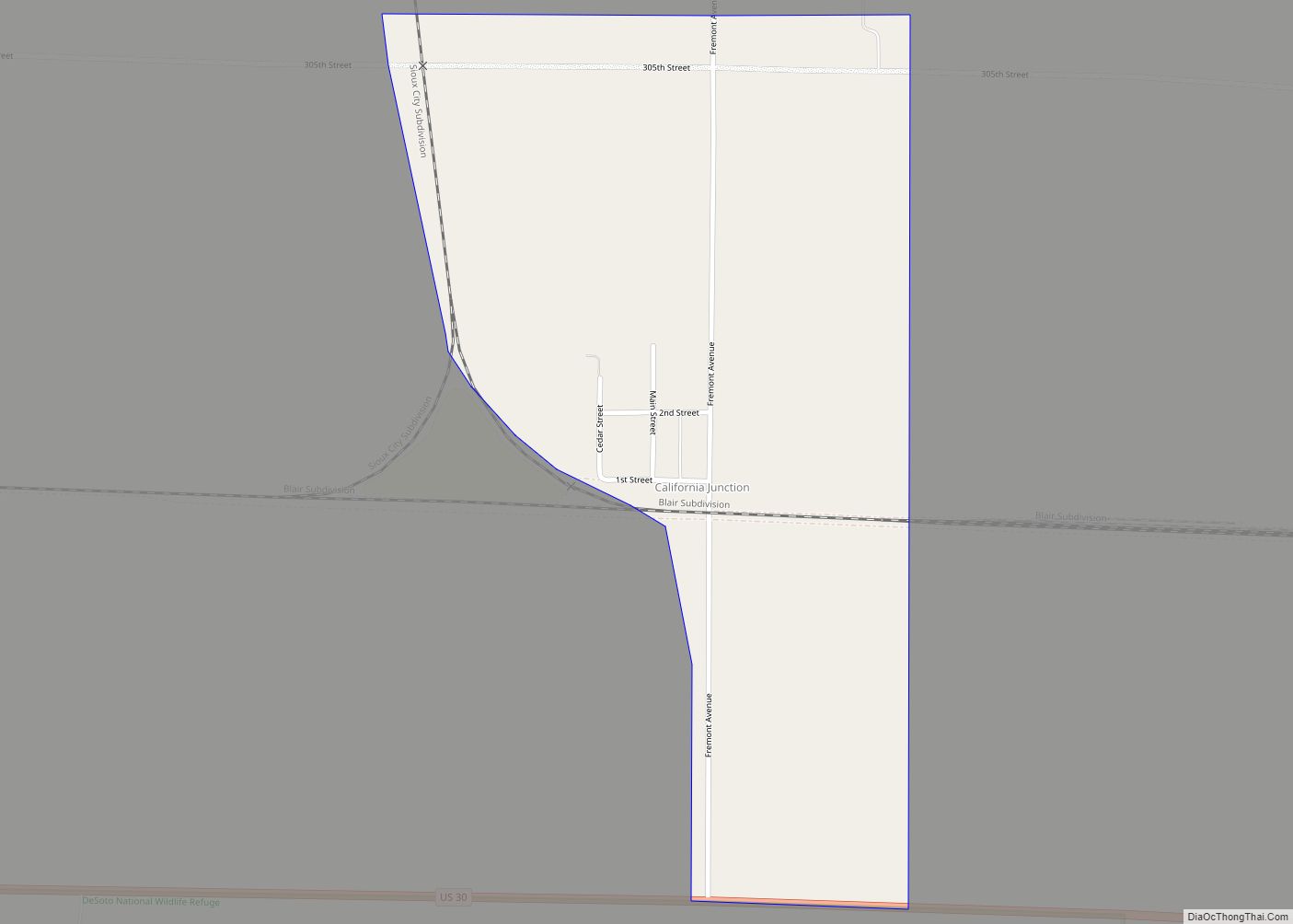
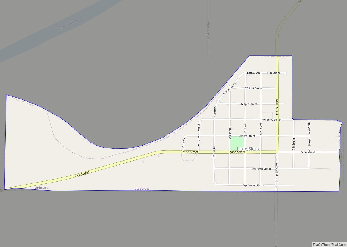
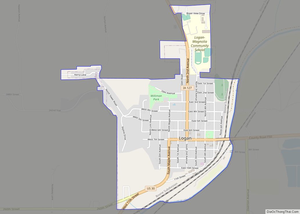
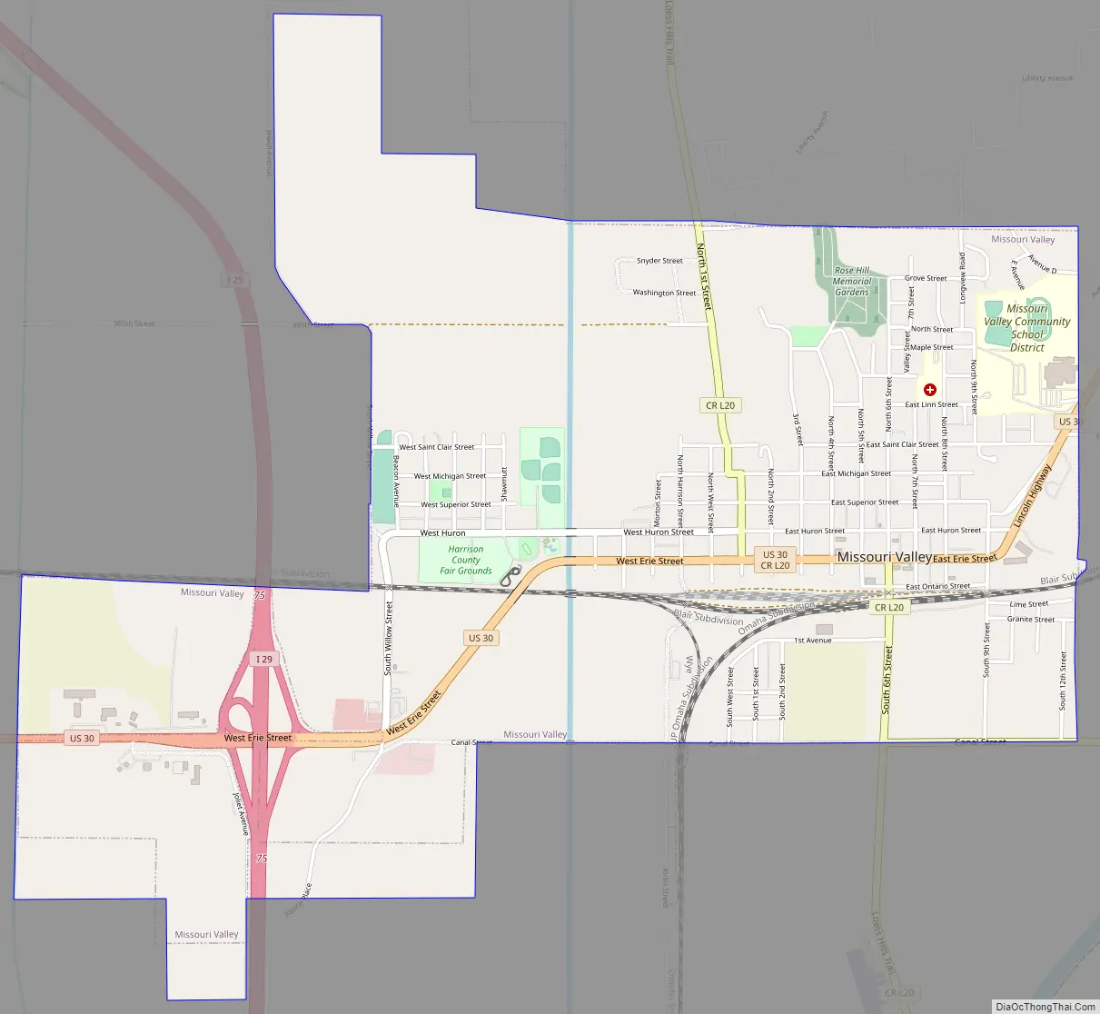
Missouri Valley Road Map
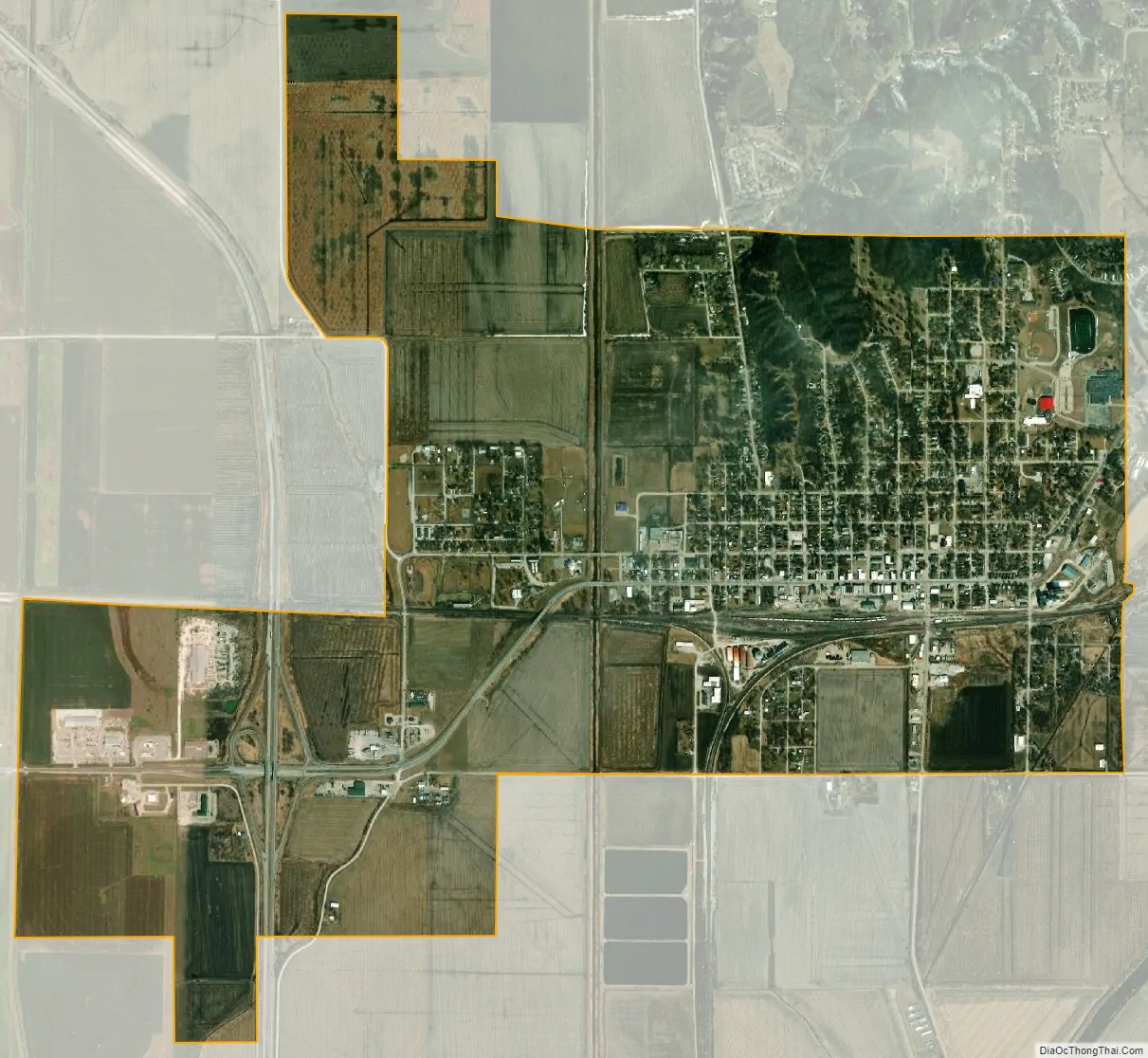
Missouri Valley city Satellite Map
Geography
According to the United States Census Bureau, the city has a total area of 3.13 square miles (8.11 km), all of it land. Missouri Valley is located within Iowa’s Loess Hills.
See also
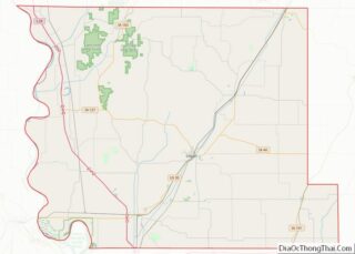
Map of Iowa State and its subdivision:- Adair
- Adams
- Allamakee
- Appanoose
- Audubon
- Benton
- Black Hawk
- Boone
- Bremer
- Buchanan
- Buena Vista
- Butler
- Calhoun
- Carroll
- Cass
- Cedar
- Cerro Gordo
- Cherokee
- Chickasaw
- Clarke
- Clay
- Clayton
- Clinton
- Crawford
- Dallas
- Davis
- Decatur
- Delaware
- Des Moines
- Dickinson
- Dubuque
- Emmet
- Fayette
- Floyd
- Franklin
- Fremont
- Greene
- Grundy
- Guthrie
- Hamilton
- Hancock
- Hardin
- Harrison
- Henry
- Howard
- Humboldt
- Ida
- Iowa
- Jackson
- Jasper
- Jefferson
- Johnson
- Jones
- Keokuk
- Kossuth
- Lee
- Linn
- Louisa
- Lucas
- Lyon
- Madison
- Mahaska
- Marion
- Marshall
- Mills
- Mitchell
- Monona
- Monroe
- Montgomery
- Muscatine
- O'Brien
- Osceola
- Page
- Palo Alto
- Plymouth
- Pocahontas
- Polk
- Pottawattamie
- Poweshiek
- Ringgold
- Sac
- Scott
- Shelby
- Sioux
- Story
- Tama
- Taylor
- Union
- Van Buren
- Wapello
- Warren
- Washington
- Wayne
- Webster
- Winnebago
- Winneshiek
- Woodbury
- Worth
- Wright
- Alabama
- Alaska
- Arizona
- Arkansas
- California
- Colorado
- Connecticut
- Delaware
- District of Columbia
- Florida
- Georgia
- Hawaii
- Idaho
- Illinois
- Indiana
- Iowa
- Kansas
- Kentucky
- Louisiana
- Maine
- Maryland
- Massachusetts
- Michigan
- Minnesota
- Mississippi
- Missouri
- Montana
- Nebraska
- Nevada
- New Hampshire
- New Jersey
- New Mexico
- New York
- North Carolina
- North Dakota
- Ohio
- Oklahoma
- Oregon
- Pennsylvania
- Rhode Island
- South Carolina
- South Dakota
- Tennessee
- Texas
- Utah
- Vermont
- Virginia
- Washington
- West Virginia
- Wisconsin
- Wyoming