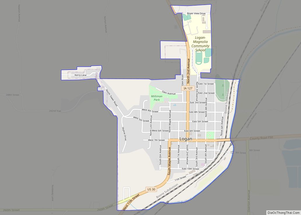
Logan is a city and county seat of Harrison County, Iowa, United States, along the Boyer River. The population was 1,397 at the time of the 2020 census.
| Name: | Logan city |
|---|---|
| LSAD Code: | 25 |
| LSAD Description: | city (suffix) |
| State: | Iowa |
| County: | Harrison County |
| Incorporated: | April 22, 1876 |
| Elevation: | 1,086 ft (331 m) |
| Total Area: | 0.99 sq mi (2.57 km²) |
| Land Area: | 0.99 sq mi (2.57 km²) |
| Water Area: | 0.00 sq mi (0.00 km²) |
| Total Population: | 1,397 |
| Population Density: | 1,409.69/sq mi (544.39/km²) |
| ZIP code: | 51546, 51550 |
| Area code: | 712 |
| FIPS code: | 1946155 |
| GNISfeature ID: | 0458561 |
| Website: | www.loganiowa.com |
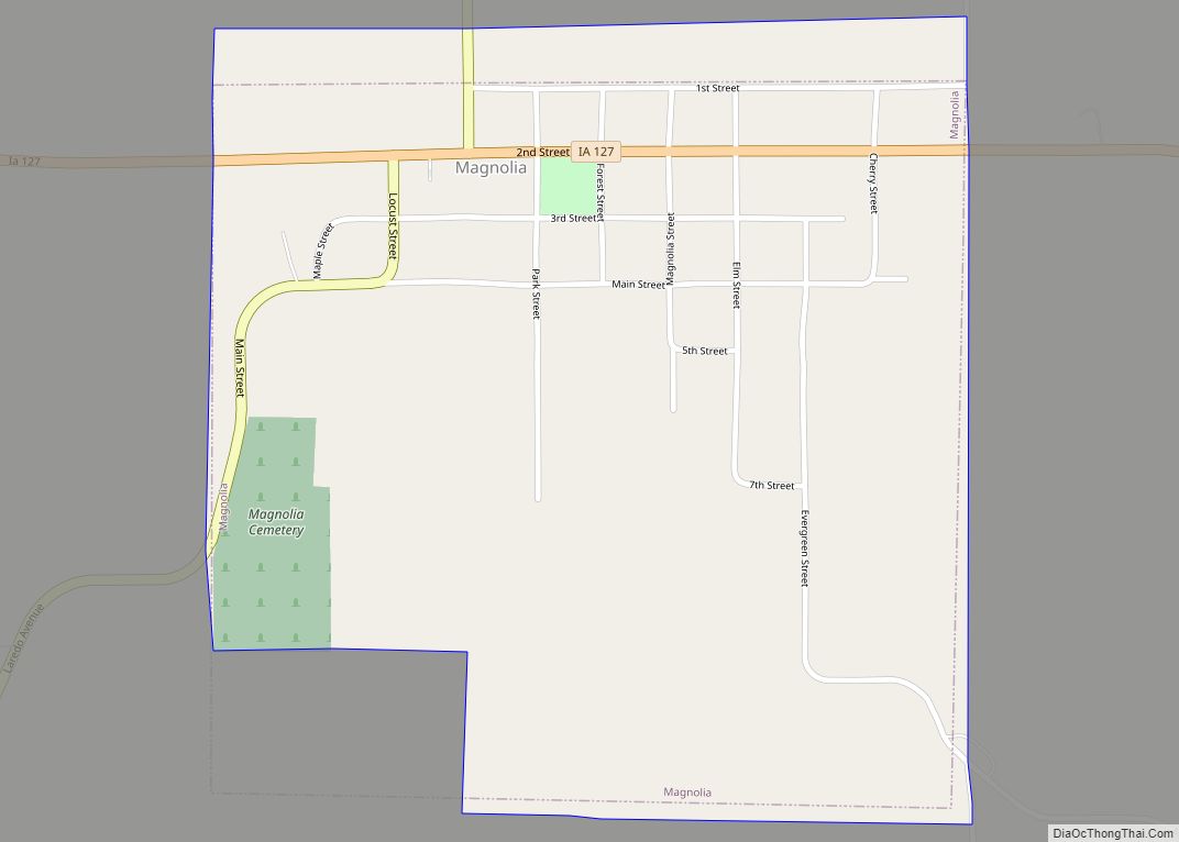
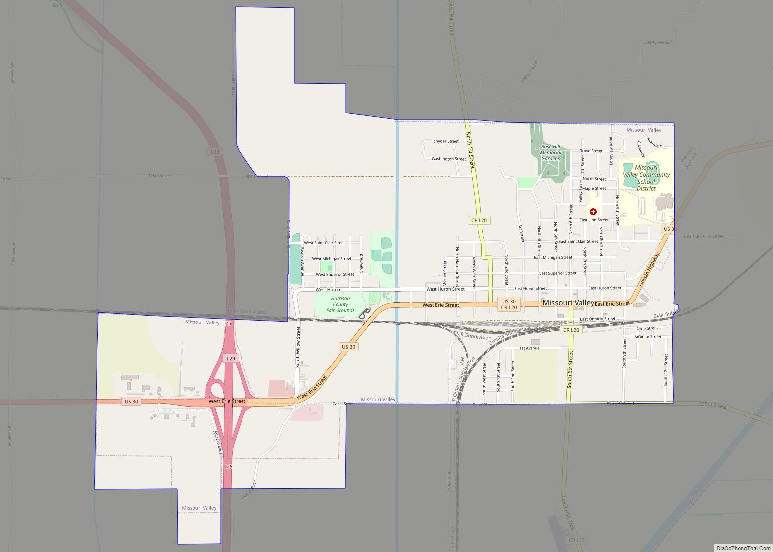
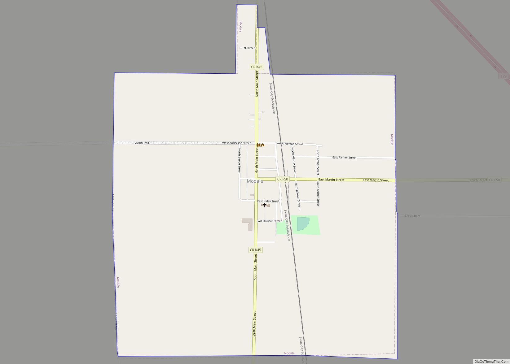
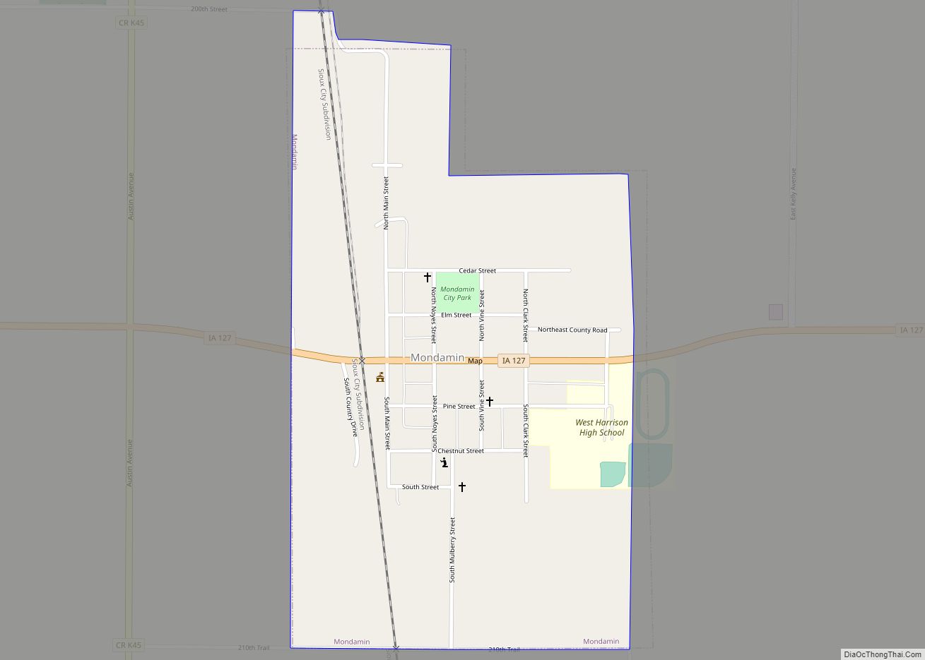
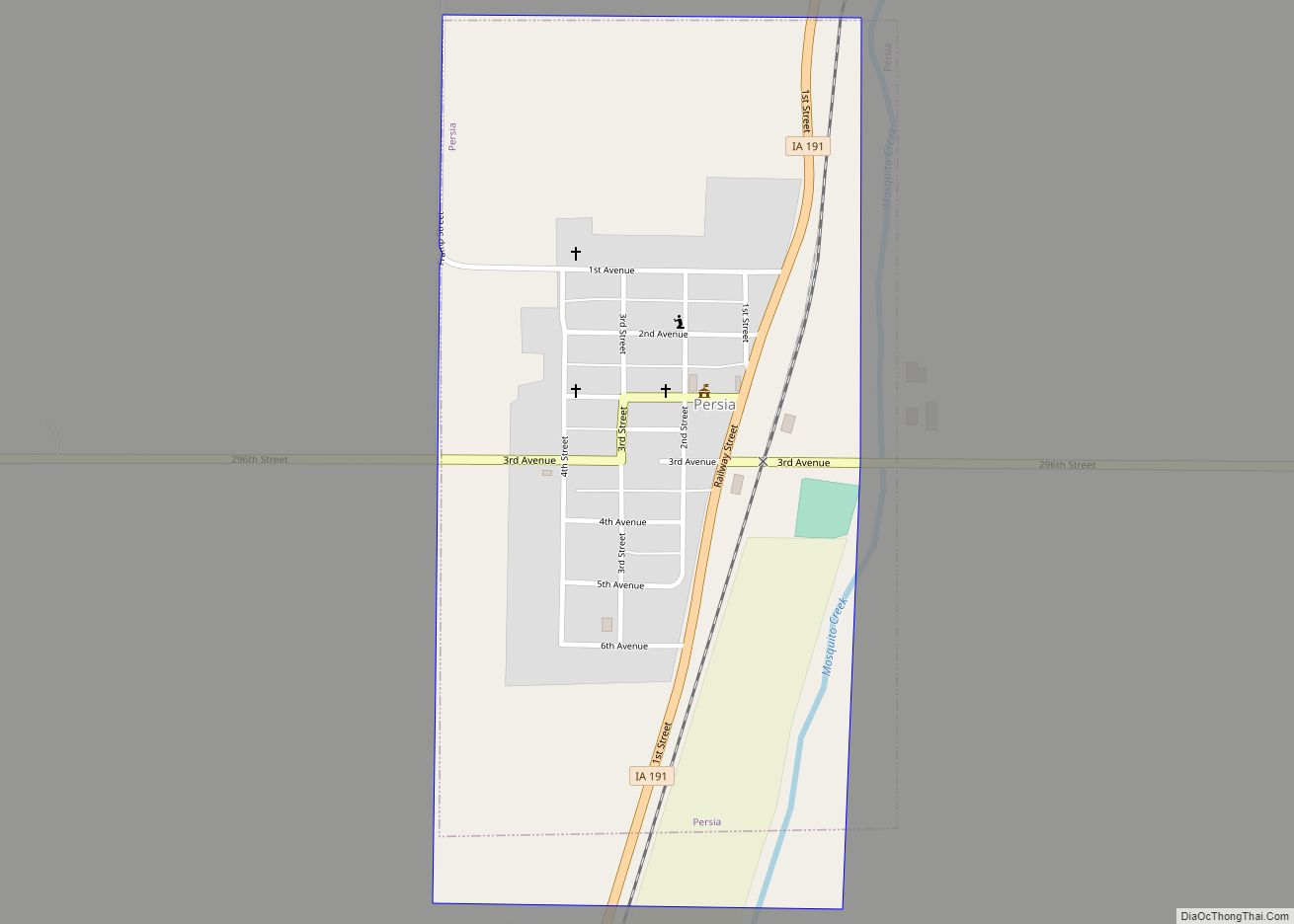
Online Interactive Map
Click on ![]() to view map in "full screen" mode.
to view map in "full screen" mode.
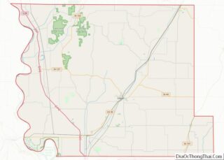
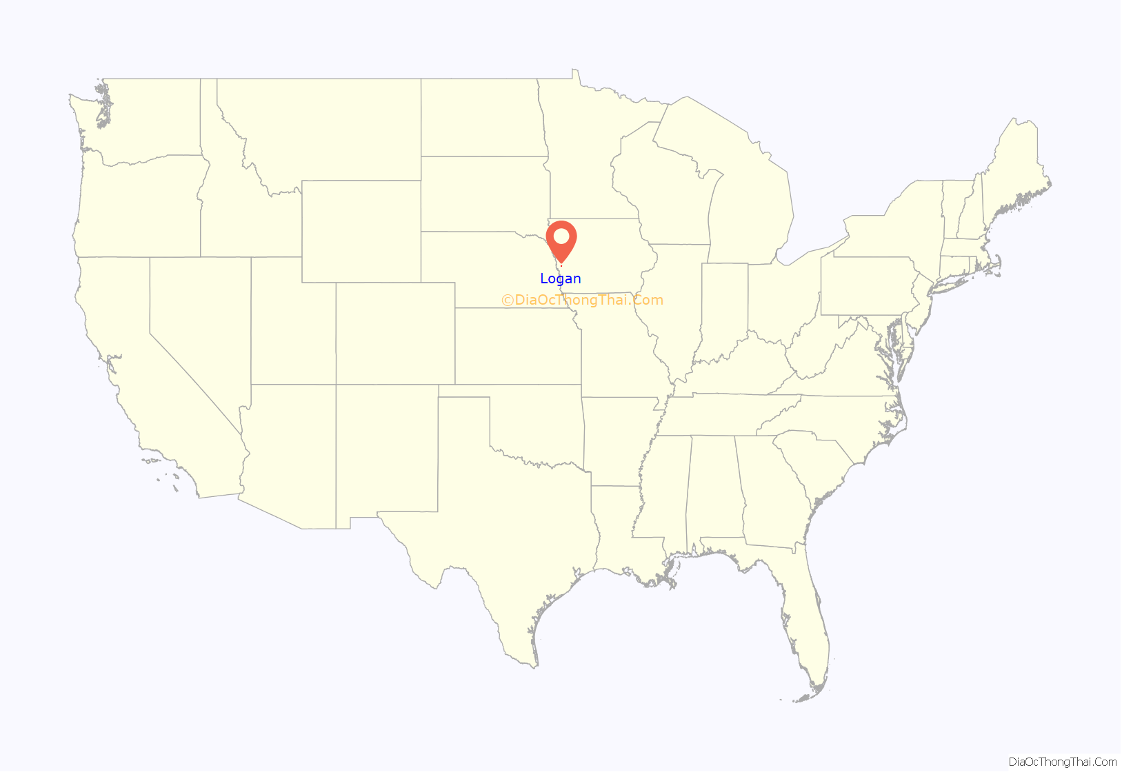
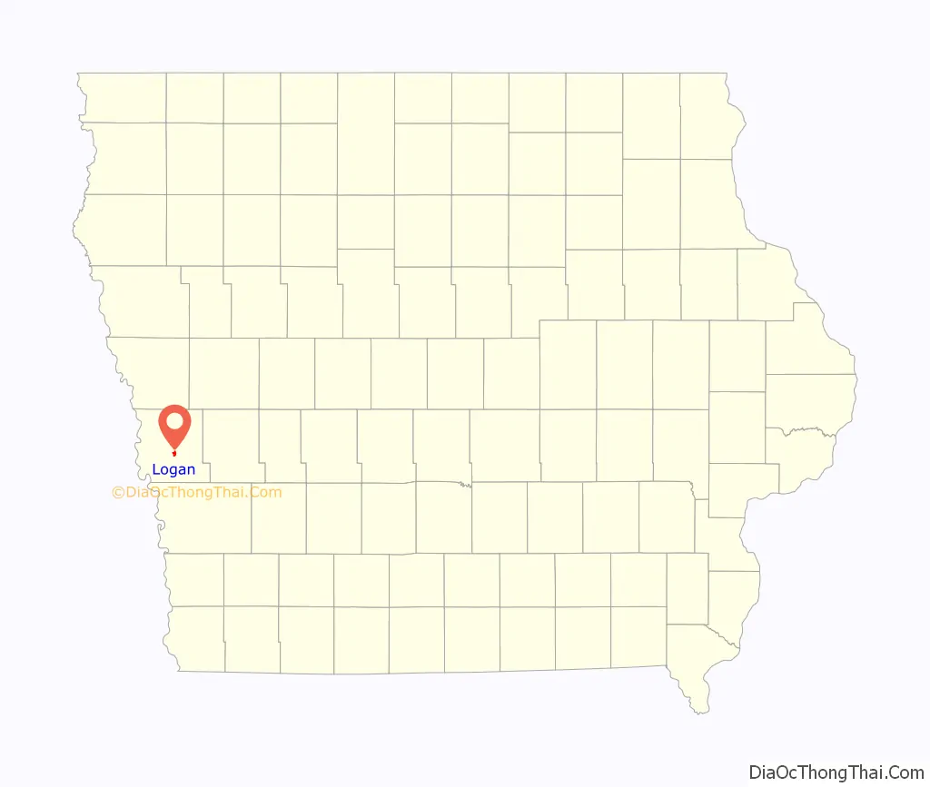
Logan location map. Where is Logan city?
History
Logan was platted in 1867 when Chicago and North Western Railway was extended to that point. It was named for John A. Logan, a Union Army general.
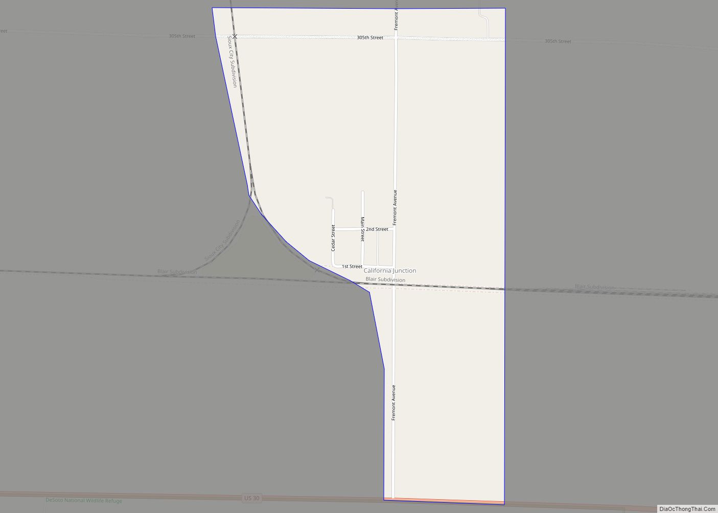
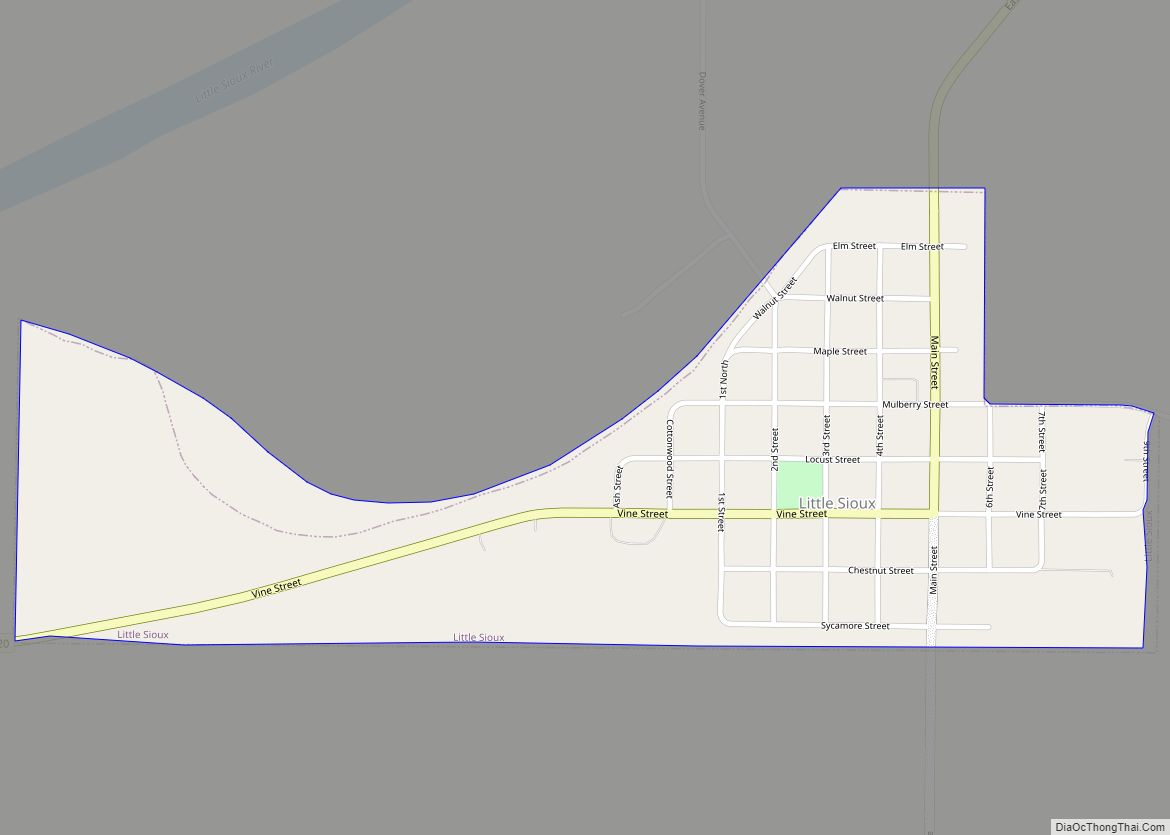
Logan Road Map
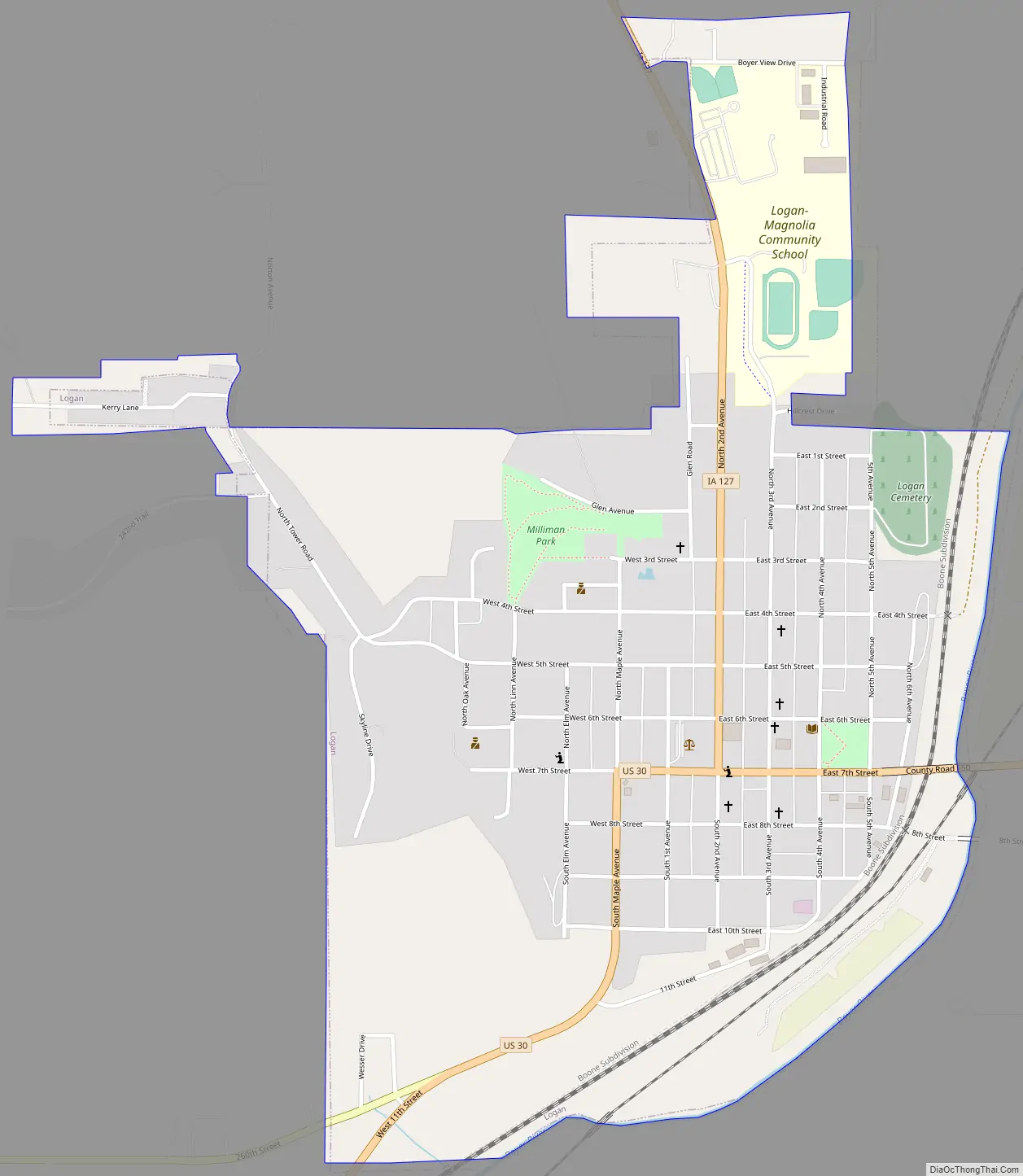
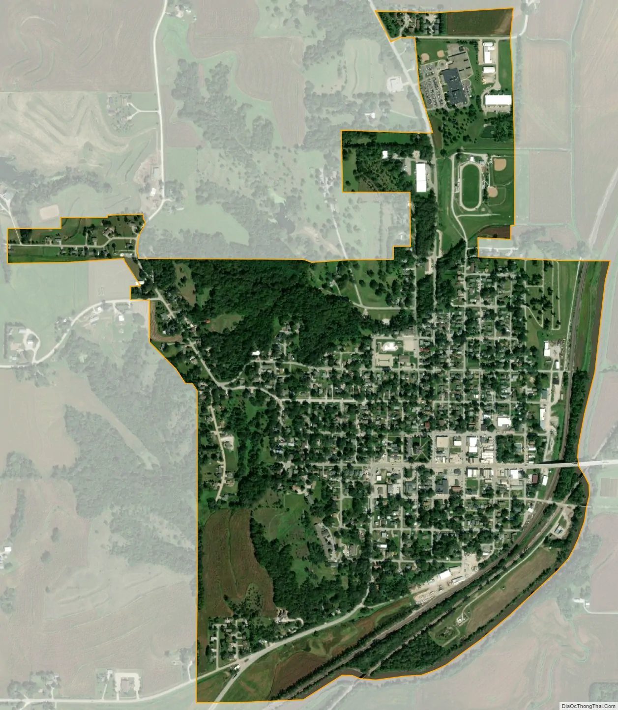
Logan city Satellite Map
Geography
Logan’s longitude and latitude coordinates in decimal form are 41.644614, -95.789931. According to the United States Census Bureau, the city has a total area of 1.00 square mile (2.59 km), all of it land.
Climate
See also
Map of Iowa State and its subdivision:- Adair
- Adams
- Allamakee
- Appanoose
- Audubon
- Benton
- Black Hawk
- Boone
- Bremer
- Buchanan
- Buena Vista
- Butler
- Calhoun
- Carroll
- Cass
- Cedar
- Cerro Gordo
- Cherokee
- Chickasaw
- Clarke
- Clay
- Clayton
- Clinton
- Crawford
- Dallas
- Davis
- Decatur
- Delaware
- Des Moines
- Dickinson
- Dubuque
- Emmet
- Fayette
- Floyd
- Franklin
- Fremont
- Greene
- Grundy
- Guthrie
- Hamilton
- Hancock
- Hardin
- Harrison
- Henry
- Howard
- Humboldt
- Ida
- Iowa
- Jackson
- Jasper
- Jefferson
- Johnson
- Jones
- Keokuk
- Kossuth
- Lee
- Linn
- Louisa
- Lucas
- Lyon
- Madison
- Mahaska
- Marion
- Marshall
- Mills
- Mitchell
- Monona
- Monroe
- Montgomery
- Muscatine
- O'Brien
- Osceola
- Page
- Palo Alto
- Plymouth
- Pocahontas
- Polk
- Pottawattamie
- Poweshiek
- Ringgold
- Sac
- Scott
- Shelby
- Sioux
- Story
- Tama
- Taylor
- Union
- Van Buren
- Wapello
- Warren
- Washington
- Wayne
- Webster
- Winnebago
- Winneshiek
- Woodbury
- Worth
- Wright
- Alabama
- Alaska
- Arizona
- Arkansas
- California
- Colorado
- Connecticut
- Delaware
- District of Columbia
- Florida
- Georgia
- Hawaii
- Idaho
- Illinois
- Indiana
- Iowa
- Kansas
- Kentucky
- Louisiana
- Maine
- Maryland
- Massachusetts
- Michigan
- Minnesota
- Mississippi
- Missouri
- Montana
- Nebraska
- Nevada
- New Hampshire
- New Jersey
- New Mexico
- New York
- North Carolina
- North Dakota
- Ohio
- Oklahoma
- Oregon
- Pennsylvania
- Rhode Island
- South Carolina
- South Dakota
- Tennessee
- Texas
- Utah
- Vermont
- Virginia
- Washington
- West Virginia
- Wisconsin
- Wyoming