Washington County is a county in the U.S. state of Nebraska. As of the 2010 United States Census, the population was 20,234. Its county seat is Blair.
Washington County is part of the Omaha–Council Bluffs, NE-IA Metropolitan Statistical Area.
In the Nebraska license plate system, Washington County is represented by the prefix 29 (it had the 29th-largest number of vehicles registered in the county when the license plate system was established in 1922).
| Name: | Washington County |
|---|---|
| FIPS code: | 31-177 |
| State: | Nebraska |
| Founded: | 1854 |
| Named for: | George Washington |
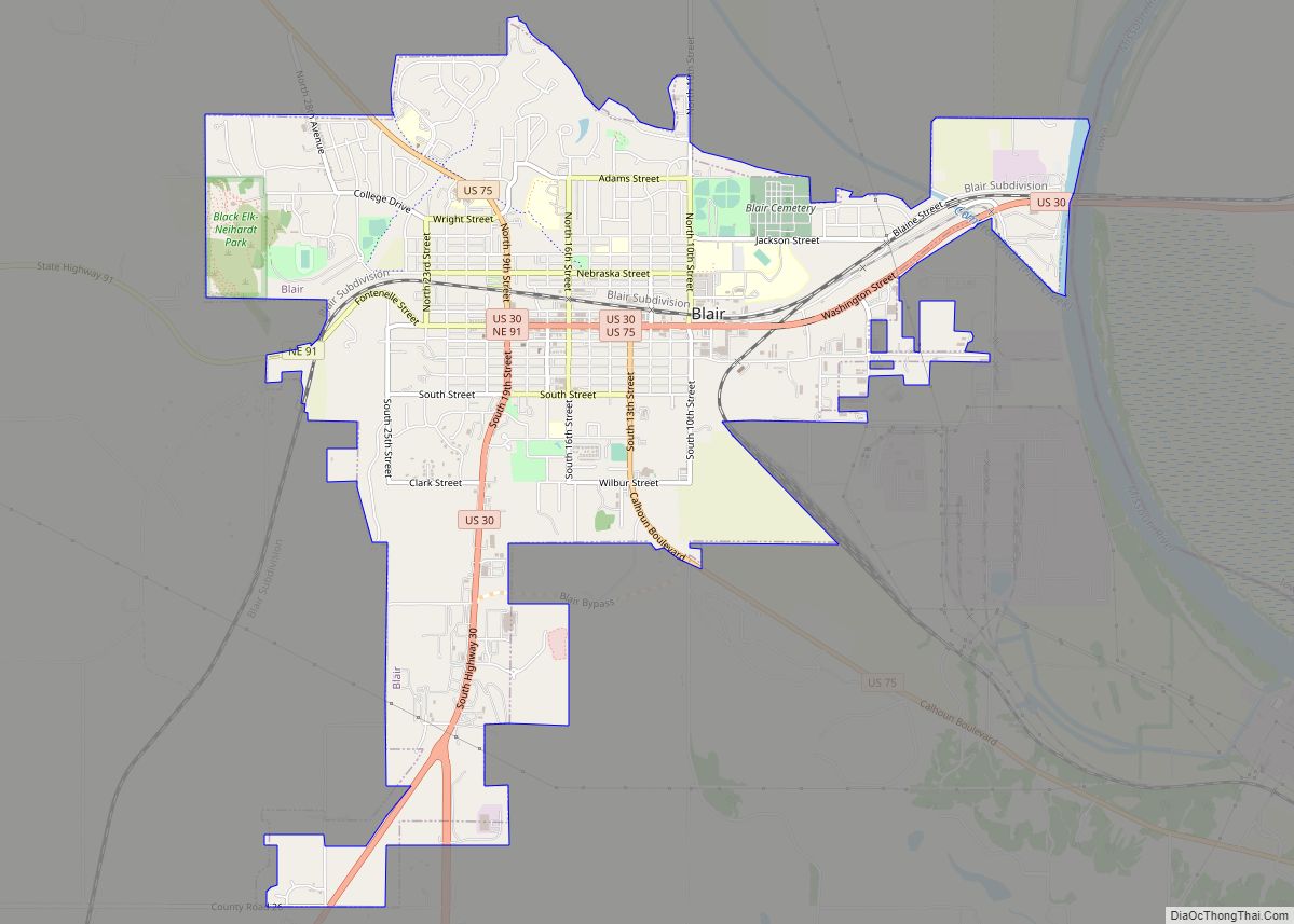
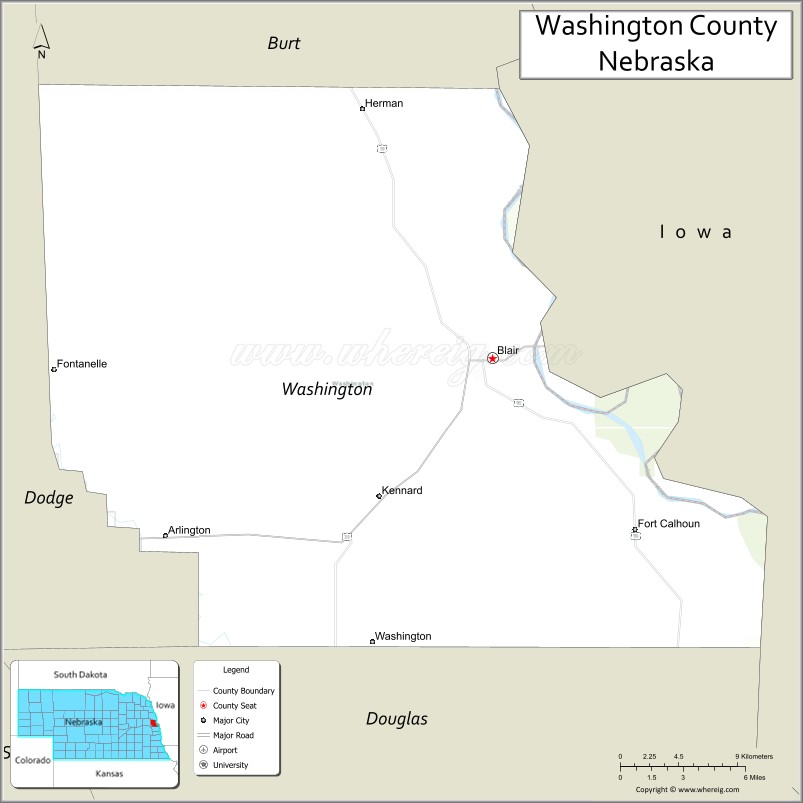
| Seat: | Blair |
| Largest city: | Blair |
| Total Area: | 393 sq mi (1,020 km²) |
| Land Area: | 390 sq mi (1,000 km²) |
| Total Population: | 20,969 |
| Population Density: | 53/sq mi (20/km²) |
| Time zone: | UTC−6 (Central) |
| Summer Time Zone (DST): | UTC−5 (CDT) |
| Website: | www.co.washington.ne.us |
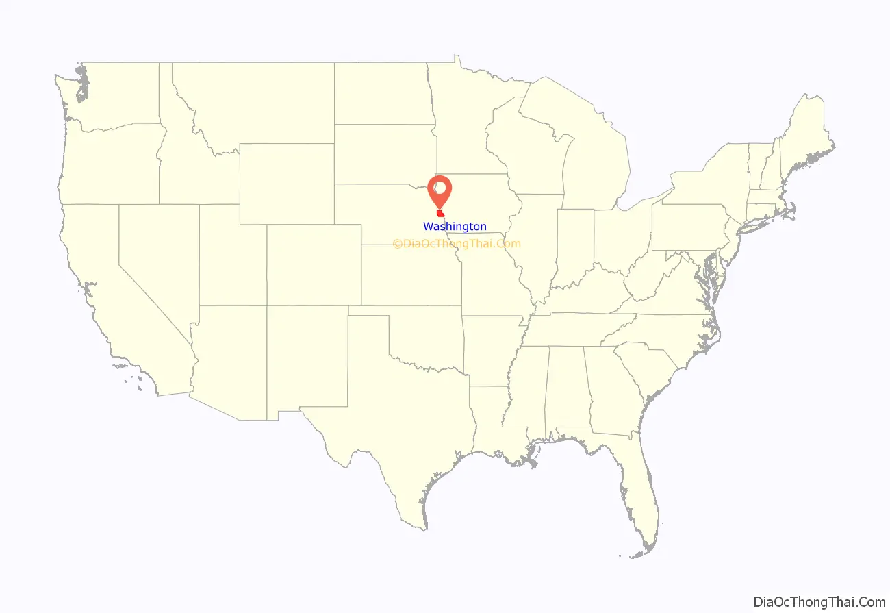
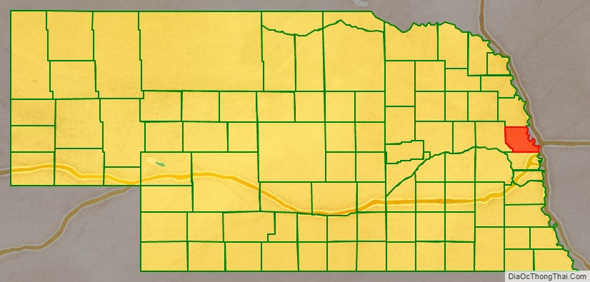
Washington County location map. Where is Washington County?
History
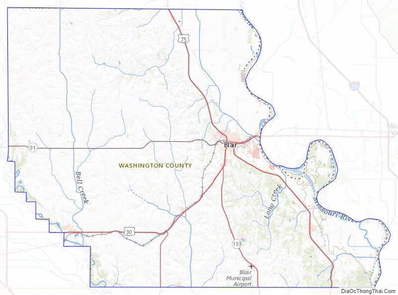
Washington County is in eastern Nebraska on the Missouri River. It was explored by Europeans as early as 1739 by Pierre Antoine and Paul Mallet, who were on a trapping expedition to Canada. In 1804, Lewis and Clark reported the establishment of the new United States government to a council of Indian chiefs near the present site of Fort Calhoun. As a result of this Council, Fort Atkinson was established in 1819 and served as a key midwestern outpost until 1827.
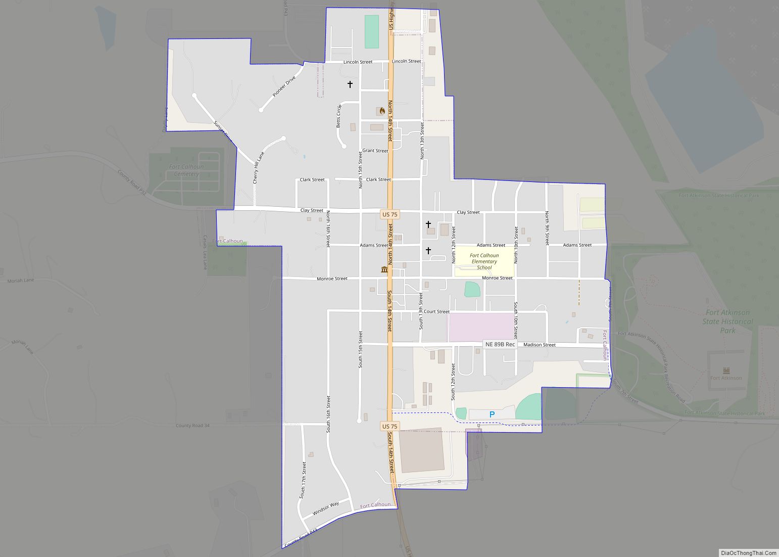
The first permanent settlement in Washington County was in 1854. In that same year, the county was organized as one of the eight original counties proclaimed by acting Governor Thomas B. Cuming; it was reorganized in 1855. The county seat has been in three different towns: Fort Calhoun, DeSoto, and Blair, its present site since 1869.
The Fort Calhoun Nuclear Generating Station south of Blair, which was North America’s smallest commercial nuclear reactor by rated capacity, was closed in October 2016 to begin decommissioning. An associated system of warning sirens was located in the southeastern part of the county for emergency notification in the event of a problem at the station.
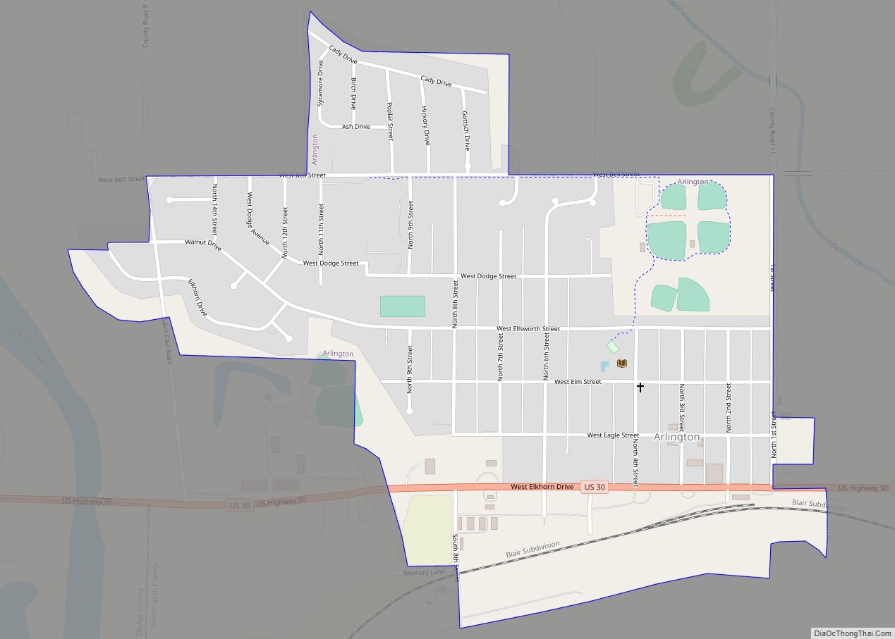
An Atlas missile launch site (Site B), formerly associated with Offutt Air Force Base and deactivated in the 1960s, lies east of Arlington.
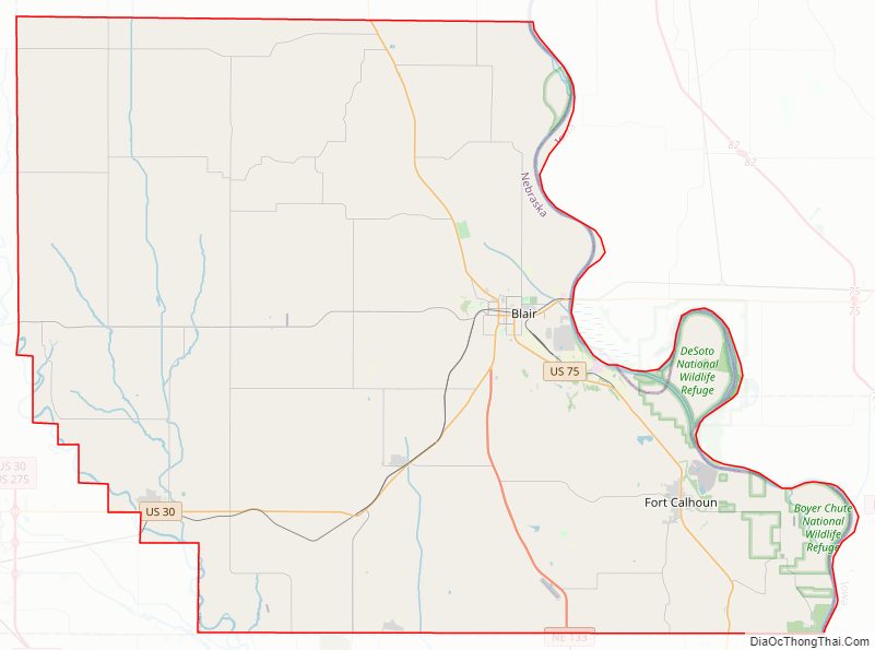
Washington County Road Map
Geography
Washington County lies on the east side of Nebraska. Its east boundary line abuts the west boundary line of the state of Iowa, across the Missouri River. The Elkhorn River flows southeastward along the county’s southwest border, and a smaller drainage, the Little Papillon River, flows southward through the center part of the county, discharging into Glenn Cunningham Reservoir south of the county. The county’s terrain consists of low rolling hills sloping to the east, with several drainage channels eroded into its eastern portion sloping down to the river. The county’s planar areas are largely devoted to agriculture. The county has an area of 393 square miles (1,020 km), of which 390 square miles (1,000 km) is land and 3.2 square miles (8.3 km) (0.8%) is water. It is Nebraska’s fifth-smallest county by area.
Adjacent counties
- Burt County – north
- Harrison County, Iowa – northeast
- Pottawattamie County, Iowa – southeast
- Douglas County – south
- Dodge County – west
Protected areas
- Boyer Chute National Wildlife Refuge
- DeSoto National Wildlife Refuge (part)
- Fort Atkinson State Historical Park
- Neale Woods Nature Center (partial)
Washington County Topographic Map
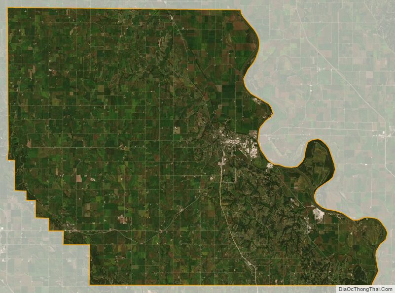
Washington County Satellite Map
Washington County Outline Map